
Yellow Lake Fire Evening Post 10 06 2024
Related Incident: Yellow Lake Fire
Publication Type: News
The Yellow Lake Fire continues to burn and is now mapped at 15,891 acres with 7% containment. No contained perimeter has been lost in the past few days, but the containment percentage decreased due to the increase in acreage. Currently, 459 personnel are assigned to the fire.
Clear skies allowed for a more accurate infrared reading, helping gauge the fire's growth over the past two days of strong winds. The fire has expanded along most of the uncontained perimeter. Slightly reduced winds in the morning allowed smoke to settle in the valley, temporarily slowing the fire's spread. However, by the afternoon, winds picked up, increasing fire activity.
Crews focused on structure protection and strengthening infrastructure where conditions allowed. Controlled burns were used to reduce fuel between the fire and containment lines, helping lower the fire's intensity and making it more manageable. Crews are working on containment, particularly at the fire's heel and flanks.
The fire spotted into Heart Lake, and continues to move in a southeastern direction. Today crews were able to get into the region, and use helicopters to cool the spots but the spots continue to remain active. Crews are holding the line at Mill Hollow Road, continuing controlled burns to limit fuel.
With improved weather, aircraft were able to drop water and retardant on hot spots. The number of aircraft resources has been increased to six.
Mandatory evacuation orders remain in place for the North and West Forks of the Duchesne River. Those in the Granddaddy Lakes region of the Ashley National Forest and Hanna remain in READY status, meaning they should be packed and ready to evacuate if necessary.
We remind residents, hunters, and recreationists to stay out of evacuated areas for the safety of everyone, including firefighters and first responders. Thank you to everyone who has followed the evacuation orders.
Public Should Expect an Increase in Smoke From the Rail Ridge Fire Officials Say 10624 10 06 2024
Related Incident:
Publication Type: Announcement
Tactical firing operations over the next several days in the Black Canyon Wilderness will produce a short-term increase in smoke.
The operations, which will start October 7, will allow fire crews to focus suppression activities on the last actively burning section of the Rail Ridge Fire. Without these actions the uncontained fire in the Black Canyon Wilderness will continue to burn until a fire-season ending weather event occurs. Current weather predictions show no such event forecasted in the next two weeks. With consideration of wind patterns and weather, an increase in smoke is expected to the northeast of the fire, potentially impacting Dayville and Mount Vernon and possibly John Day.
Firefighters have been using small firing operations to stay ahead of the fire growth as the fire moves out of the steep canyons west of the South Fork John Day River. Fire personnel have determined the best course of action at this time is to perform further tactical firing operations, much like a prescribed burn would be implemented this time of year. The prescribed firing operations provide for an opportunity for mild, healthy fire effects throughout the wilderness and shorten the duration of having uncontained fire on the landscape.
The plan will create additional smoke in the area but for a reduced amount of time. The shorter timeline will also help limit costs of the firefighting effort, keep firefighters safer and require less resources when the fire is returned back to the local unit to manage. “We want to help local communities and land owners get back to normal.” says Rail Ridge Incident Commander Brian Ebert. “Extreme fire behavior is unlikely this time of year, and weather conditions are favorable to complete the remaining five miles of open line along the Northwest edge of the fire. The intent is to provide some much-anticipated relief to those who live nearby.”
In areas very close to the fire, there will likely be a higher smoke impact at night and in the morning due to inversion. Forest visitors should be keeping their distance from the fire area by following forest closures. For more information about the closures, including a map with the ODFW hunting management unit areas overlaid with the closure area and fire footprint can be found at: https://linktr.ee/RailRidgeFire. Visitors coming to hunt in the area should be sure to check closures to know where camping and hunting is allowed.
Temporary Flight Restriction 10 06 2024
Related Incident: Elkhorn Fire
Publication Type: Closures
Temporary Flight Restriction:
To provide a safe environment for firefighting aircraft operations, a Temporary Flight Restriction (TFR) is in place from 12:00 pm, October 6, 2024 through 10:00 pm October 7, 2024. This TFR is located 10 miles southeast of Watford City, ND and encompasses and area of 5 nautical miles from surface to 5,500 feet MSL. No pilots may operate an aircraft (including drones) within this area. For more detailed information regarding this TRF including a map, please visit the following link.
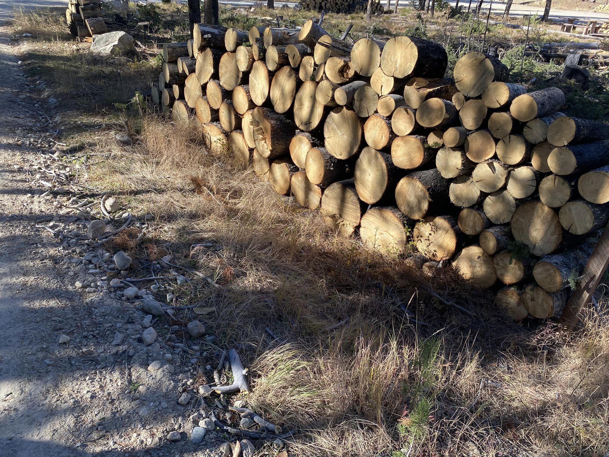
Firewood is available in Iron Creek 10 06 2024
Related Incident:
Publication Type: Announcement
The area is open to firewood gatherer's with a valid U.S. Forest Service-Sawtooth National Forest permit AND an exemption letter. For questions on firewood collection on the Sawtooth National Forest, please contact the Stanley Ranger Station at 208.774.3000.
Wolf Creek PostFire BAER Soil Burn Severity Map Released 10 06 2024
Related Incident: Boise NF Post-Fire BAER 2024
Publication Type: News
Wolf Creek Post-Fire BAER Soil Burn Severity Map Released
October 6, 2024
USDA Forest Service Burned Area Emergency Response (BAER) specialists recently completed their data gathering and analysis for the Wolf Creek Fire burned area to produce a post-fire Soil Burn Severity (SBS) map.
The BAER SBS map and data display categories of unburned/very low, low, moderate, and high soil burn severity in different colors for the different categories. Approximately 87% of the 1,158 acres analyzed by the BAER team are either unburned/very low or low soil burn severity, while 13% sustained a moderate soil burn severity, and about less than 1% were identified as having high soil burn severity.
The BAER assessment team used initial remote sensing imagery with their field-validated soils data, to develop and produce a map showing soil burn severity levels for the burned area. The SBS is broken into four different classes: unburned/very low (green), low (blue), moderate (yellow), and high (red). For more information on these different SBS classifications, see the BAER Information Brief at: Idbof Boise Nf Postfire Baer 2024 - | InciWeb (wildfire.gov).
There are several types of fire severity and intensity maps that you may see. Although they look different for the same fire, they may also all be accurate. This is because fire severity or intensity are different measures of the fire effects on a specific resource such as soils, tree canopies, vegetation or wildlife habitat. Burned Area Emergency Response (BAER) maps are primarily measures of fire effects on soils. See also Fire Intensity vs. Soil Severity Effects BAER Information Brief at: Idbof Boise Nf Postfire Baer 2024 - | InciWeb (wildfire.gov)
The BAER team relies on their final soil burn severity map to produce data, which they are using in their subsequent modeling and determination of post-fire runoff, erosion, and sedimentation. The BAER team, and the US Geological Survey (USGS) utilize the soil burn severity map as an analysis tool to estimate post-fire watershed response to precipitation events. In specific areas that experienced moderate to high burn severity, there could be increased runoff from steep hillslopes which could result in increases of post-fire soil erosion, sedimentation, and potential debris flows.
The Wolf Creek Fire SBS map can be downloaded at the Boise NF Post-Fire BAER 2024 InciWeb site: Idbof Boise Nf Postfire Baer 2024 Information | InciWeb (wildfire.gov) under the “Maps” tab.
BAER SAFETY MESSAGE: Everyone near and downstream from the burned areas should remain alert and stay updated on weather conditions that may result in heavy rains and increased water runoff. Flash flooding may occur quickly during heavy rain events--be prepared to act. Current weather and emergency notifications can be found at the National Weather Service website: www.weather.gov/boi/.
###
Bingham Fire Daily Update for Saturday October 6 2024 10 06 2024
Related Incident: Bingham Fire
Publication Type: News
Favorable weather moderates Bingham Fire growth
Daily Update: October 6, 2024
Fire Information Phone: 503-854-3366 (8 a.m.-8 p.m.)
Email: 2024.Bingham@firenet.gov
Acres: 183 Containment: 0%
Location: Areas of the Mount Jefferson Wilderness, east of Marion Forks.
Start Date: September 30,2024 Personnel: 251
Resources: 10 crews | 10 engines | 2 bulldozers |
Highlights: The Bingham Fire saw minimal growth as cooler temperatures and low wind speeds kept the fire at its existing 183 acres. California Incident Management Team 1, under the direction of incident commander John Goss, assumed management of the fire at 6 a.m. today.
Firefighters worked throughout the day building containment lines around the fire’s perimeter. Particular attention was given to the fire’s northwest corner, where an enclave of summer homes and a fish hatchery lie about 2 miles from the fire’s perimeter. A crew of firefighters have been stationed near the structures to begin constructing contingency containment lines in the event the fire escapes its current perimeter.
While fire behavior has been tempered by weather in the mid-60s and winds mostly less than 5 miles an hour the last two days, temperatures are forecasted to climb into the upper 70s today and into the 80s Monday. Winds are expected to remain relatively calm, up to 5 to 10 miles an hour.
Evacuations: LEVEL 3: GO NOW! evacuation alerts have been issued by the Linn County Sheriff’s Office for a large area of the Mount Jefferson Wilderness. Additionally, LEVEL 2: GET SET evacuation alerts have been issued for the area around Marion Forks Campground and Marion Forks Fish Hatchery. The Level 2 evacuation area also extends along Highway 22, to a ½-mile west of Highway 22, from Pamelia Road (NFS Road 2246) south to Parrish Lake Road (NFS Road 2266). Please refer to the Linn County Wildfire Map for more information: https://tinyurl.com/LinnCoFireMap. Highway 22 remains open at this time.
The Willamette National Forest issued an updated formal closure Oct. 4 in the same footprint of the Level 3 Evacuation here: https://tinyurl.com/26jpr9a6. A large evacuation area like this is necessary to give wildfire response teams enough space to safely travel to and fight the fire as crews will be on road systems and trails and air assets may be utilizing nearby water sources. The fire itself is much smaller than the evacuation area. The Pacific Crest Trail through the Mount Jefferson Wilderness is expected to remain open. The trails and roads west of the highway are closed from Pamelia to Big Meadows Loop/Turpentine Loop area. Hunting season will be opening today, and the forest will work with Linn County Sheriff to reduce closure areas as soon as it is safe to do so.
Weather: Mild and dry conditions with light winds are expected. Temperatures are forecasted to climb into the low 80s by Monday, but falling back into the 60s on Tuesday. A 10 percent chance of rain is expected by Tuesday or Wednesday.
Lava PostFire BAER Soil Burn Severity Map Released 10 06 2024
Related Incident: Boise NF Post-Fire BAER 2024
Publication Type: News
Lava Post-Fire BAER Soil Burn Severity Map Released
October 6, 2024
USDA Forest Service Burned Area Emergency Response (BAER) specialists recently completed their data gathering and analysis for the Lava Fire burned area to produce a post-fire Soil Burn Severity (SBS) map.
The BAER SBS map and data display categories of unburned/very low, low, moderate, and high soil burn severity in different colors for the different categories. Approximately 46% of the 97,927 acres analyzed by the BAER team are either unburned/very low or low soil burn severity, while 32% sustained a moderate soil burn severity, and about 22% were identified as having high soil burn severity.
The BAER assessment team used initial remote sensing imagery with their field-validated soils data, to develop and produce a map showing soil burn severity levels for the burned area. The SBS is broken into four different classes: unburned/very low (green), low (blue), moderate (yellow), and high (red). For more information on these different SBS classifications, see the BAER Information Brief at: Idbof Boise Nf Postfire Baer 2024 - | InciWeb (wildfire.gov).
There are several types of fire severity and intensity maps that you may see. Although they look different for the same fire, they may also all be accurate. This is because fire severity or intensity are different measures of the fire effects on a specific resource such as soils, tree canopies, vegetation or wildlife habitat. Burned Area Emergency Response (BAER) maps are primarily measures of fire effects on soils. See also Fire Intensity vs. Soil Severity Effects BAER Information Brief at: Idbof Boise Nf Postfire Baer 2024 - | InciWeb (wildfire.gov)
The BAER team relies on their final soil burn severity map to produce data, which they are using in their subsequent modeling and determination of post-fire runoff, erosion, and sedimentation. The BAER team, and the US Geological Survey (USGS) utilize the soil burn severity map as an analysis tool to estimate post-fire watershed response to precipitation events. In specific areas that experienced moderate to high burn severity, there could be increased runoff from steep hillslopes which could result in increases of post-fire soil erosion, sedimentation, and potential debris flows.
The Lava Fire SBS map can be downloaded at the Boise NF Post-Fire BAER 2024 InciWeb site: Idbof Boise Nf Postfire Baer 2024 Information | InciWeb (wildfire.gov) under the “Maps” tab.
BAER SAFETY MESSAGE: Everyone near and downstream from the burned areas should remain alert and stay updated on weather conditions that may result in heavy rains and increased water runoff. Flash flooding may occur quickly during heavy rain events--be prepared to act. Current weather and emergency notifications can be found at the National Weather Service website: www.weather.gov/boi/.
###
Elkhorn Fire Update 10 06 2024
Related Incident: Elkhorn Fire
Publication Type: News
Elkhorn Fire Update 10/6/2024:
The Elkhorn Fire started on October 5, 2024, approximately 8 miles south and 5 miles east of Watford City, ND. The fire rapidly spread in a south easterly direction driven by strong northwest winds. Local, state, and federal, resources responded to the incident. Because of the strong winds and rugged badlands terrain, suppression efforts were difficult. The fire has burned approximately 10,000 acres in a mix of private, state, and federal land.
Today’s weather conditions will be more conducive to firefighting activities. On the east side of the fire, near the Little Missouri River, the North Dakota National Guard is utilizing a helicopter to perform water drops to help contain the fire. Local, state, and federal resources are working together performing suppression activities around the perimeter of the fire. Additionally, two hand crews are enroute to the incident.
Another update will be provided this evening.
Settings - change map background and toggle additional layers
Filter - control incident types displayed on map.
Zoom to your location
Reset map zoom and position
Could not determine your location.
Show Legend
 Wildfire
 Prescribed Fire
 Burned Area
Response
Burned Area
Response Other
Other
Elkhorn Fire
Unit Information
Incident Contacts
GARDEN FIRE UPDATE OCTOBER 6 2024 10 06 2024
Related Incident:
Publication Type: News
Fire Name: Garden Fire
Fire Size: 6,633 acres
Cause: lightning
Location: approximately two (2) miles southwest of the confluence of Panther Creek and the Main Salmon River on the North Fork Ranger District in the Frank Church River of No Return Wilderness.
Fuels: grass, brush, dead and down fuels, and timber
Resources: 1 Type 1 Crew, 1 Type 2 Crew, 8 Engines, 4 overhead, and 2 Type 2 crews are enroute.
InciWeb: https://inciweb.wildfire.gov/incident-information/idscf-garden-fire
Fire situation: Firefighter and public safety is the number one priority for the Garden Fire. Fire growth yesterday was minimal due to the inversion layer over the fire area. Fire grew in the Garden Creek drainage and to the ridge to the north, towards the Salmon River. Fire is currently holding in Clear Creek but between Clear Creek and Dry Gulch the fire is backing down towards Panther Creek. The fire is expected to grow towards Panther Creek.
Fire managers are using a point protection strategy (a wildfire response strategy, which protects specific assets or highly valued resources from the wildfire without directly halting the continued spread of the wildfire) to minimize exposure to fire personnel while protecting identified values, including private property and Forest Service infrastructure. Today, he presence of firefighters, primarily in the Panther Creek and Salmon River areas, is ongoing. Aircraft, both fixed wing and helicopters, will be used if weather and smoke conditions allow. Fire managers are continuing to look for opportunities to engage the fire direct as fuels and weather conditions change and it is safe to do so.
Evacuations: Lemhi County Law Enforcement, Emergency Management, and the Salmon-Challis National Forest have established 2 evacuation zones for the Garden Fire.
Zone 1: From Cove Creek to Ebeneezer Bar, downriver along the Salmon River Road #030.
Zone 2: On Panther Creek Rd #055, a half mile south of Beaver Creek Rd #057 to the Salmon River Rd #030 confluence.
ZONE 1 is in “READY” status
ZONE 2 is in “GO” status
Weather: High pressure will remain of the northern Rockies and Great Basin, with a weak to moderate westerly flow maintaining clear skies and above normal temperatures for the next couple of days. A low moving through on Tuesday/Wednesday may increase the wind to critical weather thresholds, but it will also bring in some higher humidity air. The next chance for precipitation is Friday night or Saturday.
Visit our website at: www.fs.usda.gov/scnf/, ‘Like Us’ on Facebook @salmonchallisnf, and ‘Follow Us’ on X @salmonchallisnf.
####