


Summary:
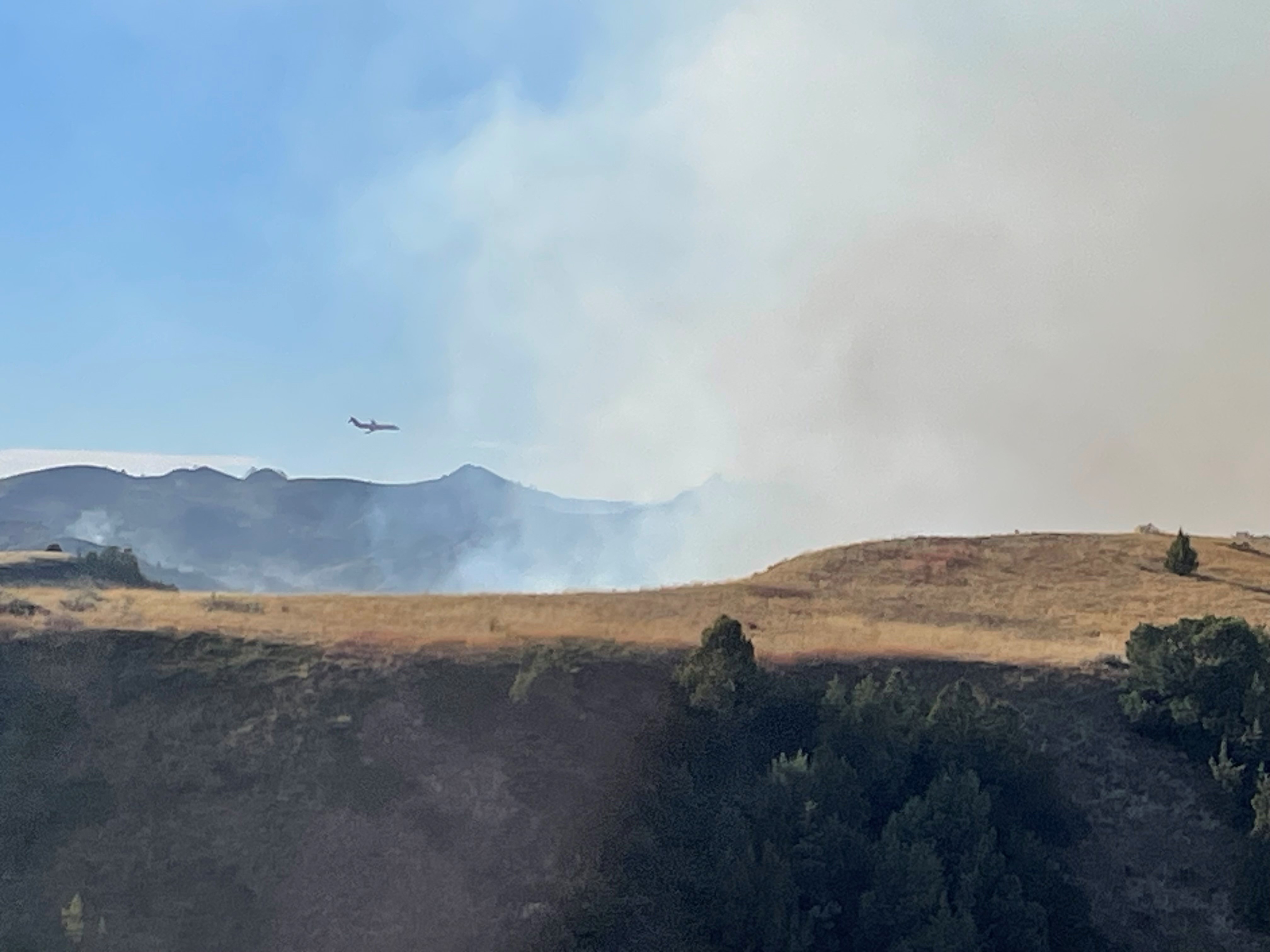
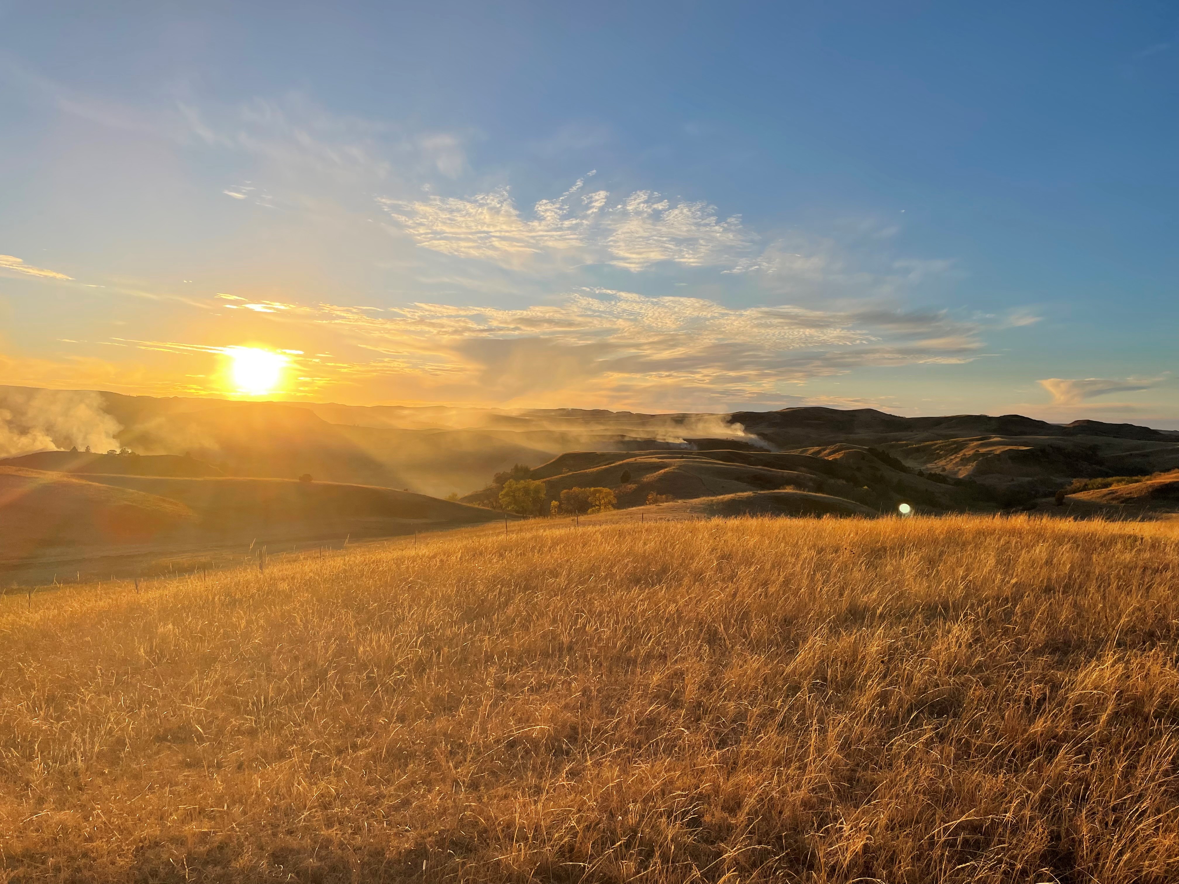
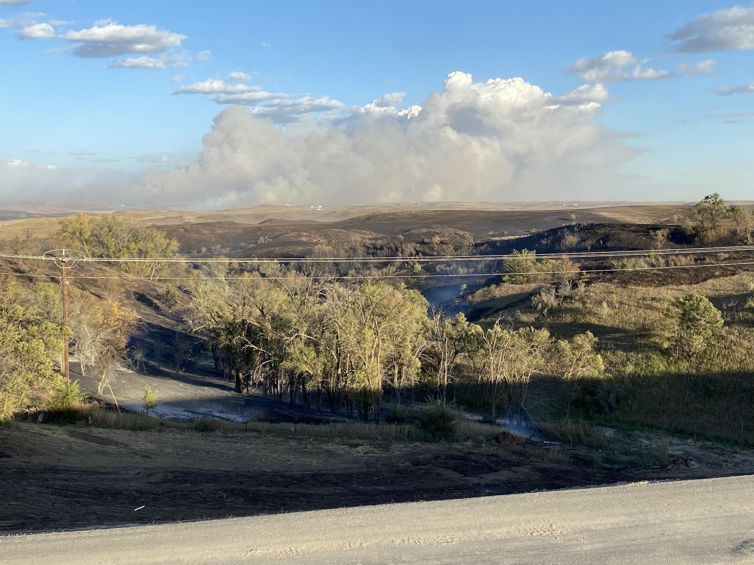
The Elkhorn Fire started on October 5, 2024, approximately 8 miles south and 5 miles east of Watford City, ND. The fire rapidly spread in a south easterly direction driven by strong northwest winds. Local, state, and federal, resources responded to the incident. Because of the strong winds and rugged badlands terrain, suppression efforts were difficult. The fire has burned approximately 10,000 acres in a mix of private, state, and federal land.
This is a full suppression fire. Local, state, and federal resources are working together to meet suppression objectives.
Closures:
Elkhorn Fire Closure - 01-18-08-24-02; Please see "Closure Tab" for full order. Or, at the following link: https://www.fs.usda.gov/alerts/dpg/alerts-notices/?aid=91424
Additional Information:
Summary:
The Elkhorn Fire started on October 5, 2024, approximately 8 miles south and 5 miles east of Watford City, ND. The fire rapidly spread in a south easterly direction driven by strong northwest winds. Local, state, and federal, resources responded to the incident. Because of the strong winds and rugged badlands terrain, suppression efforts were difficult. The fire has burned approximately 10,000 acres in a mix of private, state, and federal land.
This is a full suppression fire. Local, state, and federal resources are working together to meet suppression objectives.
Closures:
Elkhorn Fire Closure - 01-18-08-24-02; Please see "Closure Tab" for full order. Or, at the following link: https://www.fs.usda.gov/alerts/dpg/alerts-notices/?aid=91424
Additional Information:
| Current as of | Tue, 11/12/2024 - 10:15 |
|---|---|
| Incident Time Zone | America/Chicago |
| Incident Type | Wildfire |
| Cause | Unknown |
| Date of Origin | |
| Location | 8 miles south and 5 miles east of Watford City, ND |
| Incident Commander | Dakota Prairie Grasslands; McKenzie Ranger District - Little Missouri National Grassland. Incident Commander: Shane Tosse |
| Coordinates |
47° 39' 25'' Latitude
-103° 6' 07
'' Longitude
|
| Size | 10,313 Acres |
|---|---|
| Percent of Perimeter Contained | 100% |