
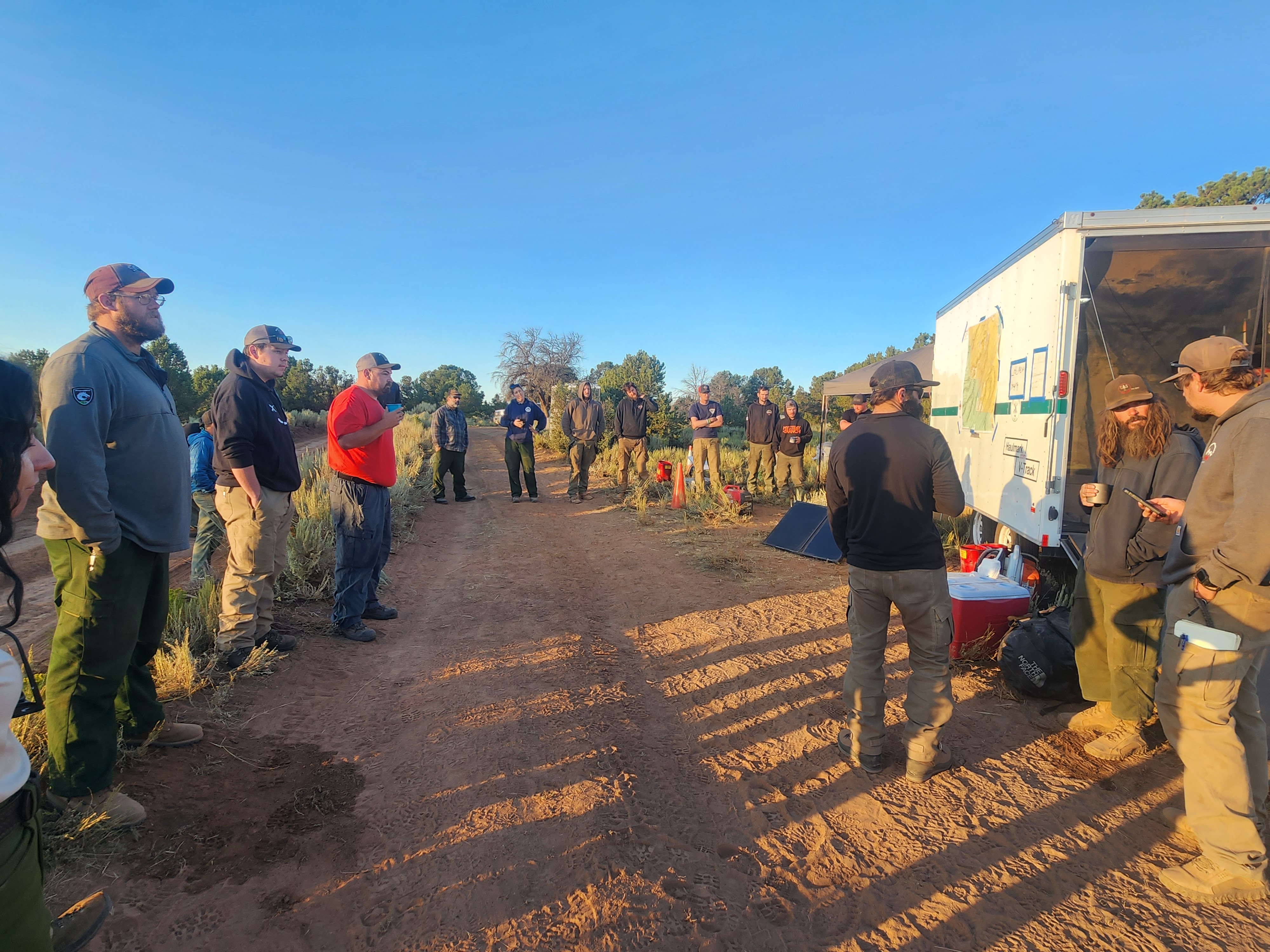
Little Mesa Fire Update August 17 2023
Related Incident: Little Mesa Fire
Publication Type: News
Little Mesa Fire Update
August 17, 2023
Location: Approx. 15 miles west, southwest of Delta, CO, Dominguez Escalante National Conservation Area
Discovered: July 31, 2023, 11:00 AM
Cause: Lightning
Estimated Size: 3,483 acres
Vegetation Type: Pinyon, Juniper, sagebrush, grass
Containment: 30%
Total Personnel: 65
NOTICE TO THE PUBLIC: Air operations are being conducted on the Little Mesa Fire. For your safety, please stay out of the Potholes Recreation Area. The helicopters are using this water source for fire suppression.
Current Situation: There was no new growth on the fire yesterday, but an increase in containment. The fire will be transitioning to a Type 4 Incident Friday morning. Yesterday, firefighters had another productive day using hand ignition to clean up unburned pockets of vegetation to secure the fire perimeter. The excavator was busy repairing mastication lines, blading existing roads, and moving heavy material on previously closed roads.
Suppression repair continues today with the excavator resuming work on mastication lines and roads. Firefighters on the northern end of the fire will repair hand line along the Tatum Ridge Road, fix fences around the guzzlers, and seed the burn area. A guzzler is a self-filling, constructed water collection and storage unit used to provide water to wildlife and livestock. Hand ignition operations will continue focusing on the southern end to clean up pockets of unburned vegetation.
Weather: A plume of moisture will continue to arc over western Colorado through the end of the week, with showers and thunderstorms becoming likely by Friday afternoon. Storms are expected to form on the ridge of the Uncompahgre by early afternoon and work their way towards the fire each afternoon. Temperatures will be in the 80s, with terrain-driven winds that increase to 10 to 15 mph in the afternoon, then switch to a southeast wind in the evening. Lightning and heavy rainfall will be the main threats, though small hail and gusty winds cannot be ruled out.
Evacuations and Closures: No evacuations have been issued. Temporary road closures are in place in Delta County on Dry Mesa Rd at the intersection with Escalante Rim Rd and on USFS Dry Mesa Rd at Sawmill Mesa Rd junction. The GMUG National Forests have issued a forest closure order for the area around the Little Mesa Fire. Public access to the closure area is limited. Visit https://bit.ly/3YwXNz0 for more information.
Smoke: Smoke is visible from surrounding areas and highways 50, 550, 92, 65, 141 and C37 Road. Go to fire.airnow.gov or colorado.gov/airquality/ to get updates on smoke conditions.
Aviation Safety: Incident aircraft may be flying over the Little Mesa Fire air space. Fire aviation resources are flying at different altitudes and speeds. Unmanned aircraft systems (UAS) or drones must never fly near wildfires. The only UAS or drones able to fly are agency owned and operated, which have been assigned to work on the wildfire and have communication with air operations. Remember if you fly, we can’t!
For updated information follow on these outlets:
Inciweb: https://inciweb.wildfire.gov/incident-information/coupd-little-mesa-fire
Facebook: @LittleMesaFire Twitter: @SWD_Fire
Big Knife Mill Pocket and Niarada Fires Update August 17 2023
Related Incident: Big Knife
Publication Type: News
As of 0700 Brad Bergman’s Incident Management Team 8 assumed command of the Big Knife Fire. On the southwest edge of the fire, crews are assessing the fire’s progress as it moves down the slopes to control lines. Firefighters are preparing canal roads for better access and removing vegetation around power poles.
On the south end of the fire in the Agency Creek drainage, crews will patrol and monitor fire activity. With pumps and hoses in place, they will continue to work on hotspots within the perimeter. Crews will be monitoring the pumps and sprinkler systems installed to protect infrastructure on the east side of the fire as well as Jocko Lookout which has water systems in place as well as a fire-resistant wrap around the base.
The Big Knife Fire is currently 1.25 miles north of the Rattlesnake Wilderness Boundary (Lolo National Forest) with no significant growth towards the Lolo National Forest in the last week. Smoke from the fire may impact the Snowbowl area, however the Lolo National Forest does not have any forest closures in place on the Missoula Ranger District.
CLOSURES AND SPECIAL MESSAGES: Several areas near the base of the mountains west of the Big Knife Fire remain in PRE-EVACUATION WARNING by order of the Lake County Sheriff. See the map for those locations in yellow (Jocko, Canal, Francis). The Tribal Primitive Area, Belmore Slough and Burnt Cabin Roads are closed.
A PRE-EVACUATION WARNING means you may be in your home. Individuals in this status should not bring back evacuated livestock until the area is downgraded to READY status.
A temporary flight restriction (TFR) is in effect around the fire area. Do not fly unmanned aircraft (drones) near the fire areas, as that is hazardous for pilots, and the firefighters on the ground who rely on aircraft support. Remember, if you fly, we can’t!
Weather: Red flags warnings are forecast for the area today. Hot and dry weather is expected to continue until the weekend. Temperatures will be near 100 degrees in the valley with near 90 at higher elevations. Relative humidity recovery at night continues to be poor and winds are expected to be from the west at 20-25 mph.
FIRE RESTRICTIONS: Stage 2 fire restrictions are in place across the Flathead Indian Reservation. No campfires are allowed, no smoking outside of vehicles, no operating combustible engines from 1 p.m. to 1 a.m., no operating vehicles off designated roads and trails. Stage 1 fire restrictions are in place in Granite County. The following are prohibited until rescinded: Building, maintaining, attending, or using a fire or campfire except within a developed recreation site or improved site. Smoking, except within an enclosed vehicle or building, a developed recreation site or while stopped in an area at least three feet in diameter that is barren or cleared of all flammable materials. Visit https://www.mtfireinfo.org/ for more fire restriction information across Montana.
###
Ridge Fire Daily Update for August 17 2023
Related Incident:
Publication Type: News
Ridge Fire Update for August 17, 2023
Fire Information: 406-998-6074
Hours: 8:00 AM – 7:00 PM
Email: 2023.ridge@firenet.gov
Chilcoot Fire Fact Sheet August 16 2023
Related Incident:
Publication Type: News
Fire Size: Infrared flight on August 13 mapped the fire at 11.5 acres. Acreage will be updated after next infrared flight.
Cause: lightning
Location: Two (2) miles northeast of Pistol Lake between Browning and Little Pistol Creeks on the western edge of Middle Fork Ranger District in the Frank Church River of No Return Wilderness. The Chilcoot Fire is surrounded by previous fires including the Cascade Complex (2007), Kiwah (2018), Pistol (2018), and Buck (2020) Fires.
Fuels: spruce and fir
Fire spread: The fire is burning in heavy dead and down fuels with group tree torching. The fire is increasing in size each day with fire movement primarily down into Garand Creek.
Planned actions: Firefighter and public safety is the number one priority for the Chilcoot Fire. When the fire was initially sized up, fire managers initiated actions to suppress the fire. Due to the remote location of the fire, the steep and inaccessible terrain along with lack of safe ingress and egress for firefighters, fire managers changed strategy, keeping firefighter safety in mind. Fire managers will be monitoring the fire by remote camera and reconnaissance flights. Values at risk in the area have been identified and trigger points have been established. If a trigger point is reached, additional actions will be taken by firefighters in order to protect those values at risk.
Weather: Hot and dry conditions continue today. Southerly flow increases into Thursday, continuing the warm temperatures and bringing a threat of thunderstorms late in the day. Daytime humidities rise above critical levels on Friday, and the threat for thunderstorms continues.
Visit our website at: www.fs.usda.gov/scnf/, ‘Like Us’ on Facebook @salmonchallisnf, and ‘Follow Us’ on Twitter @salmonchallisnf.
Chilcoot Fire Fact Sheet August 13 2023
Related Incident:
Publication Type: News
Fire Size: approximately five (5) acres
Cause: lightning
Location: two (2) miles northeast of Pistol Lake between Browning and Little Pistol Creeks on the western edge of Middle Fork Ranger District in the Frank Church River of No Return Wilderness. The Chilcoot Fire is surrounded by previous fires including the Cascade Complex (2007), Buck (2020), Kiwah (2018), and Pistol Fires (2018).
Fuels: spruce and fir
Planned actions: Firefighter and public safety is the number one priority for the Chilcoot Fire. When the fire was initially sized up, fire managers initiated actions to suppress the fire. Due to the remote location of the fire, the steep and inaccessible terrain along with lack of safe ingress and egress for firefighters, fire managers changed strategy, keeping firefighter safety in mind. Fire managers will be monitoring the fire by remote camera and reconnaissance flights. Values at risk in the area have been identified and trigger points have been established. If a trigger point is reached, additional actions will be taken by firefighters in order to protect those values at risk.
Weather: Cool northerly air flow will bring temperatures down and humidity up for today, but this air flow will become light and variable by Monday as high pressure moves over the Gem State. The light wind and clear skies will cause temperatures to spike upward and afternoon humidity to once again drop in some areas below critical thresholds. A surge of moist unstable air is possible starting mid-week, but more likely at the end of the week.
Fire spread: Fire growth is minimal, the fire is most active on the northern part of the fire, towards the Browning drainage. The fire footprint remained the same from Saturday to Sunday.
Visit our website at: www.fs.usda.gov/scnf/, ‘Like Us’ on Facebook @salmonchallisnf, and ‘Follow Us’ on Twitter @salmonchallisnf.
Niarada and Mill Pocket update for August 17 2023
Related Incident: Niarada
Publication Type: News
Today, a CSKT Type 3 Incident Management Team, headed by Rob Berney, has taken command of the Niarada and Mill Pocket fires as the Northern Rockies team has timed out. While leadership and command positions on the fire have changed, the crews, equipment and personnel on the ground remain largely unchanged and are in place to continue to build containment on both fires.
The Niarada Fire remained relatively quiet Wednesday as crews continued to focus on building line as direct as possible along the fire’s eastern edge closest to Elmo and mopping up from previous firing operations. Crews continue to assess and patrol and mop up (cool areas containing heat) around much of the remaining fire perimeter. Suppression repair work has begun in these areas, including pulling in dozer line berms and blading roads.
Structure protection crews remain outside Elmo near Big Arm, testing sprinkler systems and pumps while working with landowners on additional vegetation management around structures.
The majority of the Mill Pocket Fire is in mop-up status as crews work to ensure the fire’s edge are cool and pose little to no threat to containment.
WEATHER AND FIRE BEHAVIOR
Today, temperatures will begin increasing as humidity levels drop. A very hot and dry pattern is expected to form starting Monday and extending through Wednesday. As vegetation dries out, the potential for more active fire behavior will increase.
CLOSURES AND SPECIAL MESSAGES
Near the Niarada Fire, the Lake County Sheriff’s Office has a PRE-EVACUATION WARNING in place for the area that includes Alexander Road, Early Dawn Road, Spring Lane Road, Walking Horse Lane, Windward Heights Road, Wildhorse View, Buffalo Bridge Road, Saddle Drive, Island Butte Lane, Bridle Path, Ten Deuce Way, Cliffview Drive, and Ricketts Road. The remainder of the town of Elmo is in READY status.
A PRE-EVACUATION WARNING means you may be in your home. However, as there still is a risk from both fires, those in this status should not bring back evacuated livestock until the area is downgraded to READY status.
A temporary flight restriction (TFR) is in effect around both fire areas. Do not fly unmanned aircraft (drones) near the fire areas, as that is hazardous for pilots, and the firefighters on the ground who rely on aircraft support. Remember, if you fly, we can’t!
FIRE RESTRICTIONS
Stage 2 fire restrictions are in place across the Flathead Indian Reservation as well as Lake, Flathead and Sanders counties. No campfires are allowed, no smoking outside of vehicles, no operating combustible engines from 1 p.m. to 1 a.m., no operating vehicles off designated roads and trails. Residents and visitors are encouraged to visit www.MTFireInfo.org for more fire information across Montana.
Settings - change map background and toggle additional layers
Filter - control incident types displayed on map.
Zoom to your location
Reset map zoom and position
Could not determine your location.
Show Legend
 Wildfire
 Prescribed Fire
 Burned Area
Response
Burned Area
Response Other
Other
Blue Lake Fire
Unit Information
Incident Contacts
August 17 2023 Colt Fire Daily Update
Related Incident:
Publication Type: News
NORTHERN ROCKIES TEAM 5 INCIDENT COMMANDER: JOE SAMPSON
CURRENT STATUS
Crews continued wood chipping along the eastern side of the fire and along roads within the Marshall Creek Wildlife Management Area. Crews removed hose lays and pumps around Beaver Lake and readied them for future use. Mop-up continued throughout the fire area with emphasis on cooling the remaining heat in heavy and dead fuels along the fire’s perimeter. A helicopter assisted ground crews by removing sling loads of hoses and pumps from the fire line and returning the equipment to base camp. Two helicopters, assigned to the Colt Fire, assisted other incidents in the region.
An updated Temporary Flight Restriction (TFR) covers a smaller area and the ceiling is now 9,500 feet. The updated TFR will still be in effect 24 hours a day due to continued night operations with the unmanned aerial system (UAS, i.e., “drone”) conducting infrared flights looking for areas of heat along the fire’s perimeter.
PLANNED ACTION
Chipping operations on will continue along the eastern and southern fire perimeter. Firefighters will continue to seek out and mop up pockets of heat, assisted by data from the UAS, which can detect heat using infrared technology. Some crews are still constructing hand line along the fire’s edge in areas where the fire burned in patches, leaving some areas burned and others not. Crews will continue to remove pumps and hoses along the contained areas around the fire. Aerial resources will be available to assist firefighting efforts, as conditions allow.
WEATHER AND FIRE BEHAVIOR
Wildfire smoke from the Big Knife Fire and other regional fires cooled temperatures by about 5 degrees yesterday and led to a slight increase in relative humidity. The fire area will likely see similar overhead smoke again today. The Fire Weather Watch has been moved to Friday as wind gusts up to 35 mph, relative humidity of 20 percent, and warm temperatures in the mid-80s are expected then. These conditions can facilitate increased fire behavior within the fire area. The chance of rain increases this weekend with lower temperatures expected.
CLOSURES AND EVACUATIONS
The Missoula County Sheriff’s Office has no evacuation orders or warnings in effect due to the Colt Fire as of 8/14/2023.
What is the Burned Area Emergency Response on the York Fire
Related Incident: 2023 - York Fire Burned Area Emergency Response (BAER)
Publication Type: News
The response to the York Fire will not end when the incident reaches full containment. A Burned Area Emergency Response (BAER) has been working with Mojave National Preserve and Bureau of Land Management (BLM) staff to assess the impacts on natural resources, cultural resources, and infrastructure.
The scientists and resource specialists of the BAER team were deployed to the York Fire last week and have been working long days to make the most of their time here. They are in the process of documenting the fire’s impact and providing guidance for the preserve to address hazards, working closely with the preserve’s subject-matter experts. The BAER team members, United States Geologic Survey (USGS) staff, university scientists, and preserve staff are a super-group that will combine knowledge of post-fire effects with knowledge of NPS and BLM resources to create a long-term plan for the York Fire area.
The first step in the BAER process is to collect data on the fire area and local resources. Preserve and BLM staff provided the BAER team with maps and digital data points. These included issues of concern like Joshua tree woodlands, historic cabins, critical tortoise habitat, and areas of environmental concern.
BAER specialists spent several days in the field to validate the concerns of land managers. The team documented observations and collected data through dozens of photos and measurements. After field validation, the BAER team headed into the office to input data, generate models, and create a long-term plan for the preserve. The team has been meeting daily with preserve staff to collaborate on functional and realistic solutions. Within the next several days, the BAER team will finalize its treatment plan and presents it to the NPS and BLM leadership teams. Once the BAER team departs, our long-term work will begin as staff begin applying the treatments outlined in the BAER plan.
The York Fire will cause long-term changes to the landscape and management of the area. The Burned Area Emergency Response team is providing land managers focused support that will enable the preserve to rebound from the York Fire as efficiently and effectively as possible.
Thompson Ridge Fire Update Aug 17 2023
Related Incident: Thompson Ridge Fire
Publication Type: News
Thompson Ridge Fire Update
Thursday, August, 17, 2023
FIRE SITUATION
Firefighters on the Thompson Ridge Fire are making progress, increasing containment to 20%.
The Unmanned Aircraft System (UAS) was utilized yesterday to identify sporadic heat signatures across the northeast portion of the fire. Crews were able to assess and take action on any spots that threatened the fireline. Thanks to this technology, fire managers were able to declare more containment in this area. The UAS will be used on the southeast perimeter today.
Firefighters on both the southwest and northwest edges have been able to spread out to continue building and reinforcing the indirect line. There is a lot of ground to cover, and it will take time to make their way around the fire perimeter building this indirect line.
Minimal amounts of rain fell over much of the Thompson Ridge Fire the last few days. More intermittent storms are predicted, which will keep the temperatures cool, keeping fire behavior moderate.
Today marks the 17th anniversary of the Devil’s Den Fire, that took the life of local firefighter Spencer Koyle. The Incident Management Team and firefighters on the Thompson Ridge Fire had a moment of silence in his honor.
EVACUATIONS: None at this time.
CLOSURES: Please refer to closure order. Please note that SR-153, Kent’s Lake Road (137), Upper and Lower Kent’s Lake, Little Res. Campground, Anderson Meadow, and LeBaron remain open at this time. Use caution in and around these areas, as you will see an influx of both ground and aviation equipment working to suppress the fire.
STATUS
Start Date: August 4, 2023
Incident Type: Wildfire
Size: 7,287 acres
Cause: Lightning
Containment: 20%
Location: 10 miles southeast of Beaver, Utah
Terrain: Steep, rugged terrain in remote areas transitioning to rolling pinyon juniper hills
Structures Threatened: None
RESOURCES
Engines: 9
Water Tenders: 2
Crews: 12
Helicopters: 6
Dozers: 1
Total Personnel: 461