
Santa Barbara Campground Reopened
Related Incident: El Valle Fire
Publication Type: Closures
The Santa Barbara Campground reopened on Sep. 11
Olympic National Park and Olympic National Forest Fire Update September 8
Related Incident: Hurricane Fire
Publication Type: News
Olympic National Park and Olympic National Forest Fire Update- September 8
Port Angeles, Wash. – Fire activity across the park remained minimal today, even with rising temperatures and lowering relative humidity levels. Saturday’s forecast is calling for the warmest and driest weather over the last few days; crews will continue to closely monitor fire conditions. The Hurricane Fire is 85% contained and fire crews continue to double check and secure the fire’s perimeter. Crews monitored the Eagle Point Fire but did not see any major changes in activity.
On a helicopter reconnaissance flight, fire personnel did not see any smoke from the Diamond Mountain and Delabarre fires. Martins Lake Fire has grown slightly to 1.5 acres. The Low Divide Fire showed low rates of spread with low flames and smoldering. Fire crews continue to make contact with backcountry visitors in the Low Divide and Martins Lake areas. No closures are anticipated at this time.
Fire Name
Initial Report
Estimated Size as of 9/5
Location
Hurricane
8/28/23
4 acres
2,000 ft below Hurricane Ridge parking area
Eagle Point
8/28/23
70 acres
~5 miles out Obstruction Point Road
Diamond Mountain
9/1/23
25 acres
3.3 miles NE of
Anderson Pass
Low Divide
9/1/23
6 acres
N. Fork Quinault drainage
Delabarre
9/1/23
1 acre
3 miles SE of Mount Christie
Martins Lake
9/2/23
1.5 acres
2 miles NE of Mount Christie
Fire is an integral part of the forested ecosystems on the Olympic Peninsula; plants and animals here have evolved with fire for thousands of years. Many factors such as weather, topography, and vegetation influence fire behavior and the effects that fires have on natural resources.
Olympic National Forest Fires
The Tunnel Creek Fire, located east of the Buckhorn Wilderness in the Olympic National Forest, is now 100% contained. Firefighters will continue to patrol the area. This will be the last update on the fire unless significant changes occur. For additional information, please contact the Olympic National Forest Supervisor’s Office at (360) 956-2402.
Background Information
All six active fires in Olympic National Park ignited when a series of lightning strikes occurred on the Olympic Peninsula.
On August 18, Olympic National Park and Olympic National Forest implemented a fire ban including charcoal fires. The move to Stage 2 fire restrictions is due to continued hot and dry conditions that are forecasted to continue at least through the end of October as dry conditions in the region persist. One less spark means one less wildfire.
Obstruction Point Road and the trailhead will be closed until further notice. Olympic National Park Wilderness Information Center (WIC) will be notifying backcountry permit holders who may be impacted by this closure. Any permit holders who plan to backpack via the Obstruction Point Trailhead should contact the WIC at 360-565-3100 or https://www.nps.gov/olym/planyourvisit/wic.htm.
Weather and Fire Behavior
Warm and dry conditions will set up over the fire site today and Saturday as upper-level ridging sets up over the area. The highest temperatures and lowest relative humidity values are expected on Saturday. A weakening frontal system will pass over the site Sunday afternoon, bringing cooler temperatures and the chance for showers. Continued seasonal conditions expected through at least the middle of next week.
Information for the Eagle Point Fire can be found at: Eagle Point Fire Information | InciWeb (wildfire.gov)
Information for the Hurricane Fire can be found at: Hurricane Fire Information | InciWeb (wildfire.gov)
Olympic National Park information: www.nps.gov/olym
Olympic National Forest information: www.fs.usda.gov/olympic
State and county area burn bans: www.waburnbans.net
Olympic National Park and Olympic National Forest Fire Update September 8
Related Incident: Eagle Point Fire
Publication Type: News
Olympic National Park and Olympic National Forest Fire Update- September 8
Port Angeles, Wash. – Fire activity across the park remained minimal today, even with rising temperatures and lowering relative humidity levels. Saturday’s forecast is calling for the warmest and driest weather over the last few days; crews will continue to closely monitor fire conditions. The Hurricane Fire is 85% contained and fire crews continue to double check and secure the fire’s perimeter. Crews monitored the Eagle Point Fire but did not see any major changes in activity.
On a helicopter reconnaissance flight, fire personnel did not see any smoke from the Diamond Mountain and Delabarre fires. Martins Lake Fire has grown slightly to 1.5 acres. The Low Divide Fire showed low rates of spread with low flames and smoldering. Fire crews continue to make contact with backcountry visitors in the Low Divide and Martins Lake areas. No closures are anticipated at this time.
Fire Name
Initial Report
Estimated Size as of 9/5
Location
Hurricane
8/28/23
4 acres
2,000 ft below Hurricane Ridge parking area
Eagle Point
8/28/23
70 acres
~5 miles out Obstruction Point Road
Diamond Mountain
9/1/23
25 acres
3.3 miles NE of
Anderson Pass
Low Divide
9/1/23
6 acres
N. Fork Quinault drainage
Delabarre
9/1/23
1 acre
3 miles SE of Mount Christie
Martins Lake
9/2/23
1.5 acres
2 miles NE of Mount Christie
Fire is an integral part of the forested ecosystems on the Olympic Peninsula; plants and animals here have evolved with fire for thousands of years. Many factors such as weather, topography, and vegetation influence fire behavior and the effects that fires have on natural resources.
Olympic National Forest Fires
The Tunnel Creek Fire, located east of the Buckhorn Wilderness in the Olympic National Forest, is now 100% contained. Firefighters will continue to patrol the area. This will be the last update on the fire unless significant changes occur. For additional information, please contact the Olympic National Forest Supervisor’s Office at (360) 956-2402.
Background Information
All six active fires in Olympic National Park ignited when a series of lightning strikes occurred on the Olympic Peninsula.
On August 18, Olympic National Park and Olympic National Forest implemented a fire ban including charcoal fires. The move to Stage 2 fire restrictions is due to continued hot and dry conditions that are forecasted to continue at least through the end of October as dry conditions in the region persist. One less spark means one less wildfire.
Obstruction Point Road and the trailhead will be closed until further notice. Olympic National Park Wilderness Information Center (WIC) will be notifying backcountry permit holders who may be impacted by this closure. Any permit holders who plan to backpack via the Obstruction Point Trailhead should contact the WIC at 360-565-3100 or https://www.nps.gov/olym/planyourvisit/wic.htm.
Weather and Fire Behavior
Warm and dry conditions will set up over the fire site today and Saturday as upper-level ridging sets up over the area. The highest temperatures and lowest relative humidity values are expected on Saturday. A weakening frontal system will pass over the site Sunday afternoon, bringing cooler temperatures and the chance for showers. Continued seasonal conditions expected through at least the middle of next week.
Information for the Eagle Point Fire can be found at: Eagle Point Fire Information | InciWeb (wildfire.gov)
Information for the Hurricane Fire can be found at: Hurricane Fire Information | InciWeb (wildfire.gov)
Olympic National Park information: www.nps.gov/olym
Olympic National Forest information: www.fs.usda.gov/olympic
State and county area burn bans: www.waburnbans.net
El Valle Fire Update
Related Incident: El Valle Fire
Publication Type: News
9:00 p.m., Sep. 8, 2023—Carson National Forest fire crews and local fire departments this afternoon continued to take suppression actions on the El Valle Fire, near the community of El Valle, N.M. The fire is estimated to be 200-400 acres. More accurate acreage may be available in the morning after a planned infrared flight this evening or early morning.
Accompanied by helicopters and air tankers, firefighters took direct actions to keep the fire from growing and to protect communities. Such actions will continue Saturday. One outbuilding has been damaged.
The following evacuation statuses, based on the Ready, Set, Go! System, are in place, according to the Taos County Sheriff’s Department:
- Go: El Valle and Las Trampas
- Set: Ojitos, Upper Ojitos, Llano San Juan, Chamisal, Ojo Sarco
- Ready: Rodarte, Santa Barbara, Hodges, Truchas
Evacuation centers are located at Truchas Services Center (60 County Road 75, Truchas, N.M. 87578) and Peñasco Community Center (14136 NM-75 Peñasco, NM 87553).
Closures include Highway 76 between Truchas and south of Chamisal and Santa Barbara Campground.
The fire was first reported at 12:49 p.m. Its cause remains under investigation. 10 engines, one hotshot crew, three dozers and air resources are assigned.
The public can check for fire updates on InciWeb, Carson National Forest social media (Facebook, X) and New Mexico Fire Information.
Moving Wood off the Camp Creek Fire
Related Incident: Camp Creek Fire
Publication Type: News
In order to protect the heavily forested Bull Run Watershed from the Camp Creek Fire, firefighters have cut down trees. Sometimes it's because the trees pose a falling hazard that could injure firefighters. Other times trees are cut to create fireline wide enough to stop the spread of the fire.
The Mount Hood National Forest and the Portland Water Bureau are working on a plan for repurposing the wood from those trees, and help area communities in the process.
YouTube video link: Moving Wood Camp Creek Fire (3:25)
Please Use Caution on Forest Service 14 Road to East Barlow Trail Road
Related Incident: Camp Creek Fire
Publication Type: Announcement
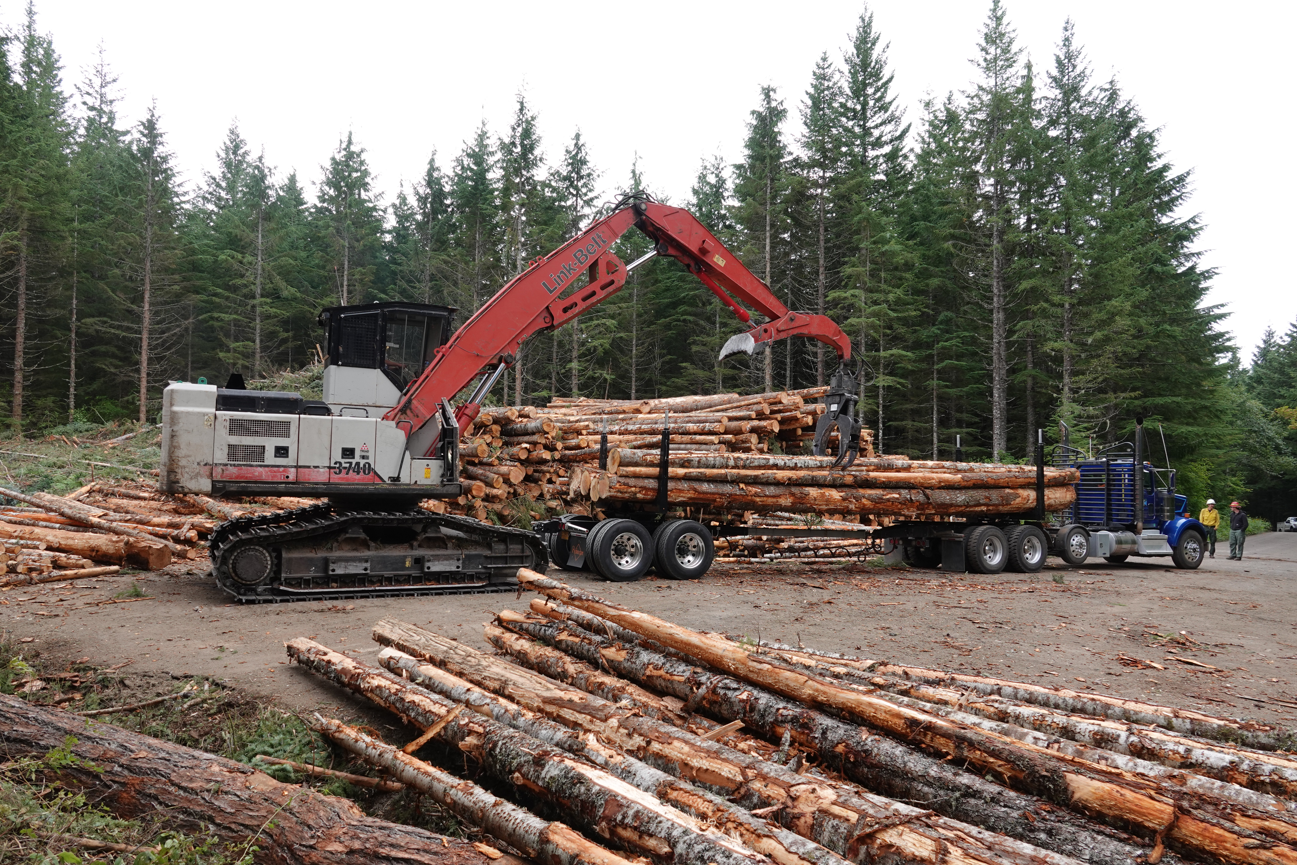
Camp Creek Fire crews are removing some cut trees from the Bull Run area by semi-trailers and dump trucks. These trees were cut to increase firefighter safety and reduce potential fuel for this and future fires.
Trucks will be traveling along Forest Service Road 14 to the East Barlow Trail Road and then onto Highway 26. Log trucks will be accompanied by pilot cars, both ahead and behind the trucks, for added public safety. Residents who use these routes should be cautious while this added traffic is present.
Photo: A truck is loaded with trees cut from the Camp Creek Fire to be hauled off site.
Smith River Complex North Update Friday September 8 2023
Related Incident: Smith River Complex
Publication Type: News
Norm McDonald, Incident Commander, Alaska Interagency Incident Management Team
Smith River Complex North Update for Friday, September 8, 2023
GRANTS PASS, OR – After ignition of a test fire near the northern edge of the Smith River Complex, firefighters initiated strategic burning operations on the north end of the fire area near Forest Road 019. The operation was considered successful, aided by favorable weather conditions and low intensity fire behavior. This work is an important step toward reducing fuels and increasing containment levels.
On the northwest side of the fire, crews continue to work on preliminary steps for a potential contingency line near Forest Road 1107, scouting for a helispot, removing brush along the road, and using heavy equipment. Firefighters are also still monitoring and improving containment lines on the east side of the fire in the Monkey Ridge area.
Weather conditions are expected to continue much like the last few days, with warm temperatures and light breeze. Firefighters will continue to evaluate opportunities to implement additional strategic burning operations for the next several operational periods.
Please respect the temporary flight restriction (TFR) established for the Smith River Complex; keep drones away from firefighting operations. If you fly, we can’t. Don’t be the reason a firefighting air mission has to divert! For more information on the TFR, visit https://tfr.faa.gov.
US-199 is open to all traffic but hazards from fire damage remain along the highway. One-lane pilot car traffic may cause delays of 20 to 60 minutes. The Del Norte Sheriff’s Office is asking residents to refrain from any unnecessary travel along that route. Firefighting apparatus and emergency responder traffic will be heavy throughout the day, please use extreme caution. For additional information on road conditions, please see the Caltrans site and Oregon Department of Transportation's TripCheck site.
Monitor Rogue Valley Emergency Management site and sign up for evacuation alerts and updates at https://rvem.org. An interactive Fire First Response Map showing evacuation areas can also be found there.
The Rogue River-Siskiyou National Forest and Bureau of Land Management Coos Bay District have issued area and road closures for the Smith River Complex. A campfire ban remains in place for BLM and forest lands, and the Wild section of the Rogue River. Visit the forest website https://bit.ly/RRSNFAlerts or https://www.blm.gov/orwafire for additional information.
Ridge Fire Closure September 1 2023
Related Incident:
Publication Type: Closures
The closed area encompasses Emery Creek drainage, north of NFS road 38 and west of Margaret Creek, including a portion of the Coram Experimental Forest. All roads and trails within the closure are closed to the public, including the Desert Mountain Road (NFS Road 497) and Emery Creek Road (NFS Road 546).
New Mexico 76 Reopened
Related Incident: El Valle Fire
Publication Type: Closures
The Highway 76 closure was lifted on Sep. 10 at approximately 2:15 p.m.
Doris Point Closure Sept 7 2023
Related Incident:
Publication Type: Closures
The Doris Creek Road (FS Road 895 A) and the Lost Jonny Road (FS Road 895B) are within the fire area and will remain closed through most of the fall due to rolling debris and weakened trees.
Alpine 7 trail will remain open to hikers.
NFS road 895, west side Hungry Horse Reservoir Road is open for motor vehicle travel.