
Inyo National Forest Closure Order Revised for SQF Complex Fire
Related Incident:
Publication Type: Closures
Forest Closure Order Revised for SQF Complex Fire
Includes Monache Meadows
USDA Forest Service
Inyo National Forest
351 Pacu Lane, Suite 200
Bishop, CA 93514
Media Contact: Deb Schweizer (760) 873-2427
debra.schweizer@usda.gov
www.facebook.com/inyonf
Twitter: @Inyo_NF
September 3, 2020
The Inyo National Forest has revised the forest closure order due to the SQF Complex (Castle Fire and Shotgun Fire) for firefighter and public safety. This encompasses additional areas of the Golden Trout Wilderness and now includes Monache Meadows (outside of the wilderness). Monache Meadows is a popular Off Highway Vehicle (OHV) destination.
In addition, the Sequoia National Forest has closures for the SQF Complex under their administration.
The Inyo’s closure follows trail networks from Siberian Pass at the northern boundary with Sequoia National Park, remains west of Big Whitney Meadow, Ramshaw Meadow, Hessian Meadow, and Cow Canyon at the southern boundary with Sequoia National Forest. Please see the map for better detail.
For now, the north eastern part of the Golden Trout Wilderness on the Inyo remains open, which keeps the Pacific Crest Trail and trails at Cottonwood Pass, Trail Pass, and Cottonwood Lakes open as long as those itineraries avoid the closure areas on the Inyo and the Sequoia National Forest (as a rule itineraries heading north from these trails).
If you are considering hiking or backpacking into the South Sierra Wilderness, the Golden Trout Wilderness, or southern parts of the John Muir Wilderness from the Inyo National Forest, understand that there is uncontained wildfire and substantial smoke in the area. Other alternatives are highly advised.
The SQF Complex Fire started by lightning and is currently 46,328 acres and 1% contained.
-###-
USDA is an equal opportunity provider, employer, and lender.
Labor Day Recreation effects from SQF Complex wildfires
Related Incident:
Publication Type: News
News Release
Forest Service
Sequoia National Forest and
Giant Sequoia National Monument
1839 S. Newcomb
Porterville, CA 93257
(559) 784-1500 Media Contact: alicia.embrey@usda.gov
www.fs.usda.gov/sequoia/
Name: Alicia Embrey
Labor Day Recreation effects from SQF Complex wildfires
Sequoia National Forest, September 3, 2020 – With the Labor Day Weekend upon us, Sequoia National Forest visitors should be prepared for impacts caused by the SQF Complex wildfires burning in the Golden Trout Wilderness.
Ignited by lightning, the SQF Complex in the Sequoia and Inyo National Forests has spread to more than 46,000 acres across the Golden Trout Wilderness. An area closure order is in place for roads and trails for safety of residents, fire personnel, and the general public. Forest Service officials are taking this necessary step to ensure that firefighters are available to safely respond and manage the incident. Please refer to https://inciweb.nwcg.gov/incident/7048/ for current information about the SQF Complex, evacuations, and closures.
Smoke is in the air, impacting people and visibility throughout the area. When wildfires create smoky conditions, there are things you can do, indoors and out, to reduce your exposure to smoke. Reducing exposure is important for everyone’s health — especially children, older adults, and people with heart or lung disease. To get air quality information visit the airnow.gov website.
We urge safety and preparedness when traveling in wildland areas. Please be prepared for the following closures:
- All trails within the boundary of the Golden Trout Wilderness in the Sequoia National Forest
- North Road (FS21S50) where it begins on Highway 190
- Lloyd Meadow Road (FS22S82) beyond the intersection with the Last Chance Road
- Sherman Pass Road (FS22S05) a few miles east of Johnsondale
- All trails north of Sherman Pass Road, east of Lloyd Meadow Road, west of Blackrock Trailhead
The County may have additional closures in place limiting access due to operations and evacuations. Visit the Tulare County Sheriff's Facebook (https://www.facebook.com/TulareSheriff) and Tulare County Fire Department's Facebook (https://www.facebook.com/TulareCountyFireDepartment) for additional information, alerts and warnings.
The Forest Closure Order and map are available on the Sequoia National Forest website at https://www.fs.usda.gov/alerts/sequoia/alerts-notices. Federal, state, and local officers, firefighters, and members of an organized rescue team and any others authorized by Forest Service permit, are exempt from the closure order.
Fire behavior can be unpredictable, and fire managers are asking the public to exercise caution and steer clear of all areas that could be impacted.
We are asking our visitors to "Please do your part" by:
• Recreate Responsibly;
• Recreate close to home whenever possible;
• Maintain at least six feet distancing from others;
• Do not gather in groups and please follow the latest guidance from officials;
• Communicate with others as you pass. Alert trail users of your presence and step aside to let others pass; and
• Pack it in Pack it out. Make sure you take away any trash or waste that you create while visiting.
For more information on tips for planning ahead, please visit the Be Outdoor Safe webpage at https://www.beoutdoorsafe.org/.
Stay informed, follow our webpage at www.fs.usda.gov/sequoia, Facebook at #SequoiaNF, Twitter at @sequoiaforest or SequoiaNF OnCell app or email us at SM.FS.SequoiaNF@usda.gov.
###
USDA is an equal opportunity provider, employer, and lender.
Virtual Public Meeting September 3rd at 8 PM
Related Incident:
Publication Type: Announcement
Virtual public meeting tonight at 8 PM
Live streamed at:
September 3 Fire Update
Related Incident:
Publication Type: News
SQF Complex Fire Update
September 3, 2020 Morning Update
Northern Rockies Incident Management Team
Mike Goicoechea, Incident Commander
Incident Statistics
Location: 25 miles N of Kernville, CA
Size: 46,328 acres
Containment: 1%
Injuries: 4
Date of origin: August 19, 2020
Cause: Lightning
Estimated cost $7.6 million
Resources
Hand Crews: 17
Engines: 41
Dozers: 8
Water-tenders: 16
Helicopters: 9
Personnel: 632
Fire Information: 559-697-5148, 8AM-8PM
Email: sqfcomplex2020@gmail.com
Website: inciweb.nwcg.gov/incident/7048/
Facebook: www.facebook.com/SequoiaNF
Facebook: www.facebook.com/TulareCountyFireDepartment
Twitter: @sequoiaforest
Virtual public meeting tonight at 8 PM
Live streamed at:
www.facebook.com/SequoiaNF
www.facebook.com/TulareCountyFireDepartment
The SQF Complex, encompassing the Castle and Shotgun fires, has burned 46,328 acres, an increase of 3,754 acres since yesterday. Approximately 6,000 acres of the Castle Fire is burning on the Inyo Nation Forest, with the remainder on the Sequoia National Forest. The containment estimate remains at 1%, with dozer line on the southwest side of the Castle Fire in the vicinity of Lloyd Meadows. Mike Goicoechea, Incident Commander, Northern Rockies Type 1 Incident Management Team took command of the fire this morning. Currently, 632 personnel are assigned; with the transition, additional resources are expected to arrive.
Castle Fire: The fire perimeter remains active, encompassing 45,296 acres. The northern flanks are encroaching on Osa Meadow and progressing towards Angora Mountain with wind-driven runs and group torching. Substantial heat remains on the east side in the Lloyd Meadows area. Crews are focused on firing operations from containment lines to the active fire perimeter on the southwest flank; firing operations are also planned for the Kern Creek area if conditions permit. Structure protection is underway in the Soda Flats area and near Jordan Hot Springs, as well as Ponderosa, Lloyd Meadows, Pyles Camp, Camp Whitsett, and other areas on the west side.
Shotgun Fire: Estimated at 402 acres, the Shotgun Fire is slowly burning within a rocky drainage, with continued monitoring by aerial resources.
Weather: Conditions remain stable with a strong high-pressure system continuing to build in the area. Hot temperatures and low relative humidity will persist in the area. Daytime highs will be 70 to 78 degrees at upper elevations and 94 to 97 on the valley floor, with relative humidity potentially dropping into the single digits. Winds are expected to remain light in the morning, and increasing in the afternoon with potential gusts to 25 mph.
Evacuations and Closures:
The Evacuation Order placed August 28, 2020 by the Tulare County Sheriff is still active for the following communities: Cedar Slope, Ponderosa, and Pyles Boys Camp.
The Evacuation Advisory is still in place for the following communities: Camp Nelson, Rodgers Camp, Coy Flat and Mountain Aire.
The evacuation order and advisory evacuation affects 242 structures. The Red Cross set up a temporary evacuation center at Porterville College Stadium Gate 2.
Roads are closed at Johnsondale Bridge and Sherman Pass, Hwy 190, and the County Transfer Station, as well as M107 and Mountain Road 50.
Camps closed: Dome Rock, Lower Peppermint, Upper Peppermint, & Quaking Aspen
The Sequoia National Forest has issued Order No. 0513-20-31 SQF Complex Fire Area Road and Trails Closure. The Inyo National Forest has issued Order No. 05-04-51-20-16 Inyo National Forest Castle Fire Trail and Area Closure, for the protection of the public and firefighters suppressing the fire.
Smoke Impact: Stable air conditions will keep smoke in the valleys for the next several days. Kern River Valley remains adversely impacted by Unhealthy to Hazardous air quality. Most areas are expected to improve to Moderate for a few hours each day. Please protect yourself from unhealthy air quality; stay inside during the worst conditions. Try to plan outside activities for late afternoon until midnight when the air is typically cleaner.
Priorities include: Ponderosa, Cedar Slope, Forks of the Kern Trailhead; Jerkey Meadows Trailhead; Facilities and Trails within Trout Meadow; structures and facilities along the Lloyd Meadows Road; Pyles Boys Camp; grazing cattle west of north road; the Freeman Creek Grove and other Sequoia tree Groves; the President George H.W. Bush Tree; Camp Whitsett, featuring numerous Native American archeological values; Peppermint Fire Station; the Mountain Yellow-Legged Frog and Little Kern Golden Trout Critical Habitats; Pacific Fisher habitats.
Special notes: Fire managers will employ tactics that safely engage fire while prioritizing firefighter and public safety and protecting values at risk. Life safety will always remain the number one priority. COVID-19 mitigations are being taken to limit exposure risks to firefighters and the public, per CDC guidelines.
Updated Contact Information
Related Incident:
Publication Type: Announcement
Please note the updated contact information for the SQF Complex Fire:
Email: Sqfcomplex2020@gmail.com
Fire Info Line: 559-697-5148- Hours of Operation: 7a.m.-9p.m.
Virtual Community Meeting Tonight
Related Incident:
Publication Type: Announcement
August 29, 2020 – 6:30 p.m.
There will be a virtual community meeting regarding the Castle Fire on 8/29/2020 @ 6:30 p.m. This virtual meeting will be streamed on the US Forest Service Sequoia National Forest and Tulare County Fire Department Facebook pages at www.facebook.com/SequoiaNF or www.facebook.com/TulareCountyFireDepartment
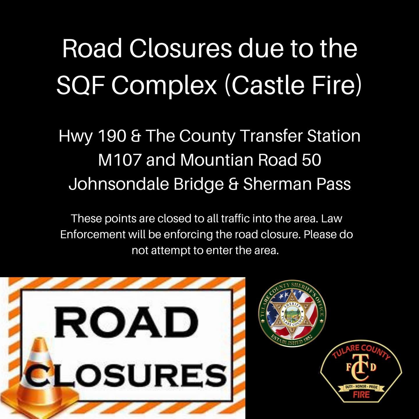
Road Closures in the are of the SQF Complex Castle Fire
Related Incident:
Publication Type: Closures
Tulare County Fire Department
Road Closures in the are of the SQF Complex (Castle Fire)Tulare County Sheriff and Tulare County Fire have closed the following roads due to The Evacuation Order in place in the area of Ponderosa, Cedar Slope, Pyles Boys Camp and areas between. The following are the road closure points into these areas.-Hwy 190 & The County Transfer Station-M107 and Mountian Road 50-Johnsondale Bridge & Sherman PassThese points are closed to all traffic into the area. Law Enforcement will be enforcing the road closures, this includes those who may own property in the area. Please do not attempt to enter the area.
Segment of Golden Trout Wilderness Closed for SQF Complex Fire
Related Incident:
Publication Type: Closures
The Inyo National Forest has closed the southwest segment of the Golden Trout Wilderness on the Inyo National Forest under a forest closure order due to the SQF Complex (Castle Fire and Shotgun Fire) for firefighter and public safety. In addition, the Sequoia National Forest has closed the parts Golden Trout Wilderness under their administration.
The Inyo’s closure is to the west of the South Fork of the Kern and trail networks from Siberian Pass at the northern boundary with Sequoia National Park, remains west of Big Whitney Meadow, Ramshaw Meadow, and Kingfisher Ridge and connects at the at the southern boundary with Sequoia National Forest at Blackrock Ranger Station. Please see the map for better detail.
For now, the north eastern part of the Golden Trout Wilderness on the Inyo remains open, which keeps the Pacific Crest Trail and trails at Cottonwood Pass, Trail Pass, and Cottonwood Lakes open as long as those itineraries avoid the closure areas on the Inyo and the Sequoia National Forest (as a rule itineraries heading north from these trails).
If you are considering hiking or backpacking into the Golden Trout Wilderness from the Inyo, please be advised that there is an uncontained fire and substantial smoke a in the area. Please consider alternatives.
The Castle Fire started by lightning and is currently 23,625 acres and 0% contained.
The SQF Complex has burned 20979 acres
Related Incident:
Publication Type: News
Castle Fire: The Castle Fire has burned 20,769 acres and is 0% contained. Yesterday, the fire crossed the Kern River making strong runs towards Overlook Mountain and Kern Ridge. A full engagement to suppress, contain, and confine the fire has been employed using hand crews, bulldozers and aircraft. Firefighters are constructing a primary line using existing roads and trail systems to stop the fire from advancing to the south and southwest. Crews will be inserted where the fire crossed the river to develop an assessment of resource needs for suppression of the eastern edge of the fire, while priorities to protect structures and isolated areas of values at risk adjacent to the fire perimeter such as Ponderosa, Cedar Slope, RM Pyles Camp, Golden Trout Pack Station and the Freeman Creek Grove of Giant Sequoia Trees remain unchanged.
Shotgun Fire: The Shotgun Fire, located where Pistol Creek and Shotgun Creek converge in the Golden Trout Wilderness, has now burned to 210 acres. The fire is burning in rough rocky terrain and has had significant growth. At this time, the Shotgun Fire continues to be monitored by air resources.
Current Situation: The Sequoia National Forest has issued Order No. 0513-20-31 SQF Complex Fire Area Road and Trails Closure, for the protection of the public and firefighters suppressing the fire. Fire behavior can be unpredictable, and fire managers are asking the public to exercise caution and avoid of all areas that could be impacted. Federal, state, and local officers, firefighters, and members of an organized rescue team and any others authorized by Forest Service permit are exempt from the closure order.
Threats: Forks of the Kern Trailhead; Jerky Mountain Trailhead; Facilities and Trails within Trout Meadow; structures and facilities along the Lloyd Meadow Road; grazing cattle west of north road; The President George H.W. Bush Tree; Camp Whitsett, featuring numerous Native American archeological values; Peppermint Fire Station; The Mountain Yellow-Legged Frog and Little Kern Golden Trout Critical Habitats; Pacific Fisher habitats.
Weather: Light drainage winds were seen through much of the morning hours on Wednesday with south to southwest winds increasing by noon. Winds speeds were generally 5-10 mph with gusts to 15 mph. Temperatures were down slightly from the previous day with highs in the upper 70s to low the 90s. RH also was trending slightly higher with most sites in the lower 20s to mid- 30s, similar conditions are to be expected Thursday with hot and dry conditions.
Smoke Impact: Smoke and widespread air quality impacts from the California wildfires and SQF Complex remain a primary weather concern. To assist with public air quality issues an Air Resource Advisor has been assigned to the SQF Complex. Exposure to smoke can be reduced by following a few simple rules. Close windows, doors, and outside vents when it is smoky to prevent accumulations indoors. In you have an air conditioner, run it. Keep the fresh air intake closed and keep the filter clean. Ventilate your home, and workplace during periods of little smoke. Avoid physical activities while smoke is dense. For information about air quality, smoke conditions, and health effects, visit https://wildlandfiresmoke.net/outlooks/SouthernSierra-Sequoia, www.valleyair.org or visit www.airnow.gov. Visitors to the Forest will continue to see smoke, active fire, and firefighters during the next few weeks. Please drive slowly and carefully.
Special notes: Fire managers will employ tactics that safely engage fire while prioritizing firefighter and public safety and protecting values at risk. Life safety will always remain the number one priority. COVID-19 mitigations are being taken to limit exposure risks to firefighters and the public, per CDC guidelines.
The SQF Complex remains active and has consumed 18180 acres
Related Incident:
Publication Type: News
Castle Fire: Yesterday, saw moderate fire behavior on the SQF Complex which is now combined total of 18,180 acres and remains at 0% containment, the Castle Fire has burned 17,998 acres. A full engagement to suppress, contain and confine the fire is being used with firefighters and equipment working on the ground, and aircraft support. Hand crews and bulldozers are constructing a primary line from Forks of the Kern Trailhead to Summit Trailhead, to stop the fire from advancing to the south and southwest.
Crews were able to make good progress due to yesterday’s fire behavior with this operation. A strategy used when limited resources are available and designed to protect structures and isolated areas of values at risk adjacent to the fire perimeter.
Shotgun Fire: The Shotgun Fire, located where Pistol Creek and Shotgun Creek converge in the Golden Trout Wilderness, went down in acres burned to 182 acres after an afternoon reconnaissance flight providing more accurate mapping, with 0% containment. The Shotgun Fire has been monitored by air and is burning in rough rocky terrain.
Current Situation: The Sequoia National Forest has issued Order No. 0513-20-31 SQF Complex Fire Area Road and Trails Closure, for the protection of the public and firefighters suppressing the fire. The cabins in Trout Meadow and Soda Flat are still intact but, remain threatened. The community of Ponderosa and Cedar Slope are still under an evacuation advisory, this advisory is a precautionary measure to homeowners to be prepared in the event an evacuation is ordered.
Weather: Unstable weather conditions are predicted for today, with higher humidity levels. The potential for thunderstorms with lightning in the afternoon is likely and is forecast to continue over the next 72hrs, accompanied by hot temperatures.
Smoke Impact: Smoke and widespread air quality impacts from the California wildfires remain the primary weather concern. Exposure to smoke can be reduced by following a few simple rules. Close windows, doors, and outside vents when it is smoky to prevent accumulations indoors. In you have an air conditioner, run it. Keep the fresh air intake closed and keep the filter clean. Ventilate your home, and work place during periods of little smoke. Avoid physical activities while smoke is dense. Visitors to the Forest will continue to see smoke, active fire, and firefighters during the next few weeks. Please drive slowly and carefully. For information about air quality, smoke conditions, and health effects, visit https://wildlandfiresmoke.net/outlooks/SouthernSierra-Sequoia, www.valleyair.org or visit www.airnow.gov.
Special notes: Fire managers will employ tactics that safely engage fire while prioritizing firefighter and public safety and protecting values at risk. Life safety will always remain the number one priority. COVID-19 mitigations are being taken to limit exposure risks to firefighters and the public, per CDC guidelines.