
Eldorado National Forest Closure Order No 032216 effective 090922
Related Incident: Mosquito Fire
Publication Type: Closures
Forest Order No. 03-22-16
Eldorado National Forest
Pacific Southwest Region
Mosquito Fire Area, Road, and Trail Closure
Pursuant to 16 U.S.C. § 551 and 36 C.F.R. § 261.50(a) and (b), and to provide for public safety, the following acts are prohibited within the Eldorado National Forest. This Order is effective from September 9, at 12:00 pm, through December 31, 2022.
- Going into or being upon National Forest System lands within the Mosquito Fire Closure Area, as described below and shown on Exhibit A. 36 C.F.R. § 261.52(e). The Mosquito Fire Closure Area boundary begins at the southwest corner of the Eldorado National Forest (ENF), Georgetown Ranger District, in Slab Creek Reservoir, and continues for approximately 3.8 miles through Slab Creek Reservoir, generally east to its head with the South Fork of the American River, then continues approximately 13.2 miles east along the South Fork American River to its intersection with US Highway 50, then continues approximately 0.1 miles generally southeast along US Highway 50 to its intersection with Ice House Road, then continues approximately 20.8 miles generally northeast along Ice House Road to its intersection with Forest Service (FS) Road 13N22 (Van Vleck Ranch Road), then continues approximately 5.4 miles generally northeast along FS Road 13N22 to its intersection with Forest Service Trail 15E21, then continues approximately 3.5 miles generally northeast along FS Trail 15E21 to its intersection with the Desolation Wilderness Boundary, then continues approximately 8.5 miles north and northeast along the Desolation Wilderness Boundary to its intersection with the ENF Boundary and Lake Tahoe Basin Management Unit (TMU) Boundary, then continues approximately 2.3 miles generally north along the ENF Boundary and TMU Boundary to its intersection with the ENF Boundary, TMU Boundary and Tahoe NF (TNF) Boundary, then continues approximately 22.2 miles generally west along the ENF Boundary and TNF Boundary, to its intersection with the Middle Fork of the American River, then continues approximately 34.5 miles generally southwest along the Middle Fork of the American River, to its intersection with the ENF Boundary near Cement Hill, then continues approximately 31.5 miles along the ENF Boundary generally south, to the starting point at its intersection with the ENF Georgetown Ranger District Boundary at Slab Creek Reservoir.
- Being on any National Forest System Road within the Mosquito Fire Closure Area, as shown on Exhibit A. 36 C.F.R. § 261.54(e).
- Being on any National Forest System trail within the Mosquito Fire Closure Area as shown on Exhibit A. 36 C.F.R. § 261.55(a).
Pursuant to 36 C.F.R. § 261.50(e), the following persons are exempt from this Order:
- Any Federal, State, or local officer, or member of an organized rescue or fire-fighting force in the performance of an official duty.
- Persons with Forest Service Permit No. FS-7700-48 (Permit for Use of Roads, Trails, or Areas Restricted by Regulation or Order), specifically exempting them from this Order.
- Owners or lessees of land and residents of such private landholdings, to the extent necessary to access their land.
A violation of these prohibitions is punishable by a fine of not more than $5,000 for an individual or $10,000 for an organization, or imprisonment for not more than 6 months, or both. 16 U.S.C. § 551 and 18 U.S.C. §§ 3559, 3571, and 3581.
Executed in Placerville, California, this 9th day of September 2022, at 12:00 pm.
JEFF MARSOLAIS
Forest Supervisor
Eldorado National Forest
Pacific Southwest Region
Tahoe National Forest Closure Order No 172209 effective 090722
Related Incident: Mosquito Fire
Publication Type: Closures
Forest Order No. 17-22-09
USDA FOREST SERVICE PACIFIC SOUTHWEST REGION
Tahoe National Forest
Mosquito Fire Area, Road, and Trail Closure
Pursuant to 16 U.S.C. § 551 and 36 C.F.R. § 261.50(a) and (b), and to provide for public safety, the following acts are prohibited within the American River Ranger District of the Tahoe National Forest. This Order is effective beginning at 8:00 p.m., Pacific Daylight Time, on September 7, 2022, through December 31, 2022.
- Going into or being upon National Forest System lands within the Mosquito Fire Closure Area, as described below and shown in Exhibit A. 36 C.F.R. § 261.52(e). The Mosquito Fire Closure Area boundary begins in the at intersection of Mosquito Ridge Road (Forest Service Road No. 96) and the Tahoe National Forest (TNF), American River Ranger District Boundary, then continues approximately 26.6 miles generally north along TNF American River Ranger District Boundary to its intersection with the North Fork of the American River, then continues approximately 23.7 miles northeast along the North Fork of the American River to its intersection with the TNF American River Ranger District Boundary, then continues approximately 12.7 miles generally east along the TNF American River Ranger District Boundary to its intersection with the eastern edge of the Pacific Crest Trail (PCT) (Forest Service Trail No. 2000), then continues approximately 1.1 miles south along the eastern edge of the PCT (Forest Service Trail No. 2000) to its intersection with the TNF American River Ranger District Boundary, then continues approximately 16.3 miles southwest and then west along the TNF American River Ranger District Boundary to its intersection with the Middle Fork of the American River, then continues approximately 26.8 miles southwest along the Middle Fork of the American River to its intersection with the TNF American River Ranger District Boundary, then continues north along the TNF American River Ranger District Boundary to the starting point at its intersection with Mosquito Ridge Road (Forest Service Road No. 96).
- Being on a National Forest System road within the Mosquito Fire Closure Area, as shown on Exhibit A. 36 C.F.R. § 261.54(e).
- Being on a National Forest System trail within the Mosquito Fire Closure Area, including the Pacific Crest Trail, as shown on Exhibit A. 36 C.F.R. § 261.55(a).
Pursuant to 36 C.F.R. § 261.50(e), the following persons are exempt from this Order:
- Any Federal, State, or local officer, or member of an organized rescue or fire-fighting force in the performance of an official duty.
- Persons with Forest Service Permit No. FS-7700-48 (Permit for Use of Roads, Trails, or Areas Restricted by Regulation or Order), specifically exempting them from this Order.
- Owners or lessees of land and residents of such private landholdings, to the extent necessary to access their land.
These prohibitions are in addition to the general prohibitions contained in 36 C.F.R. Part 261, Subpart A.
A violation of these prohibitions is punishable by a fine of not more than $5,000 for an individual or $10,000 for an organization, or imprisonment for not more than 6 months, or both. 16 U.S.C. § 551 and 18 U.S.C. §§ 3559, 3571, and 3581.
Executed in Nevada City, California, this 7th day of September 2022
Matthew Jedra
Acting Forest Supervisor
Tahoe National Forest
Pacific Southwest Region
Mosquito Fire Update 090922 AM
Related Incident: Mosquito Fire
Publication Type: News
The Mosquito Fire is burning actively near Oxbow Reservoir, 3 miles east of Foresthill, in brush and timber in very steep and rugged terrain.
The fire spread significantly last night due to extreme fire behavior and heavy smoke limited visibility. The fire made uphill runs with short-range spotting. Weather will be minimal winds and 21% relative humidity.
This extreme fire behavior caused evacuation orders and evacuation warnings issued by the El Dorado County Sheriff’s Office for the communities of Volcanoville, Georgetown, Bottle Hill, Stumpy Meadows, Slate Mountain, and Cool. Placer County Sheriff’s Office also issued evacuation orders and evacuation warnings for the communities of Michigan Bluff, Baker Ranch, Crystal View Road & Bath Road, Foresthill, Todd Valley, Sky View Spring Garden, and Yankee Jims.
There are approximately 1,700 personnel assigned to the incident. The priority for firefighting personnel is to provide life safety and structure protection for the community. Additionally, the construction of direct and indirect containment lines utilizing handcrews and bulldozers is a significant objective. The Unified Commanders of the Mosquito Fire thank the community for their support and cooperation in adhering to evacuation orders and warnings, and remind those who are in an area when an evacuation order is implemented that it is time to leave. The decision to evacuate a community is done with the understanding of the inconvenience it places on those who live and work in a community, but also with the priority of life safety. Be Ready, Set, Go! and visit www.readyforwildfire.org.
Tahoe National Forest: Facebook @TahoeNF or Twitter @Tahoe_NF
CAL FIRE AEU: Facebook and Twitter @calfireaeu
CALFIRE NEU: Facebook and Twitter @calfireneu
El Dorado National Forest: Facebook and Twitter @EldoradoNF
Mosquito Fire Update 090822 PM
Related Incident: Mosquito Fire
Publication Type: News
Please see attached PDF update for the Mosquito Fire 9/8 11 pm
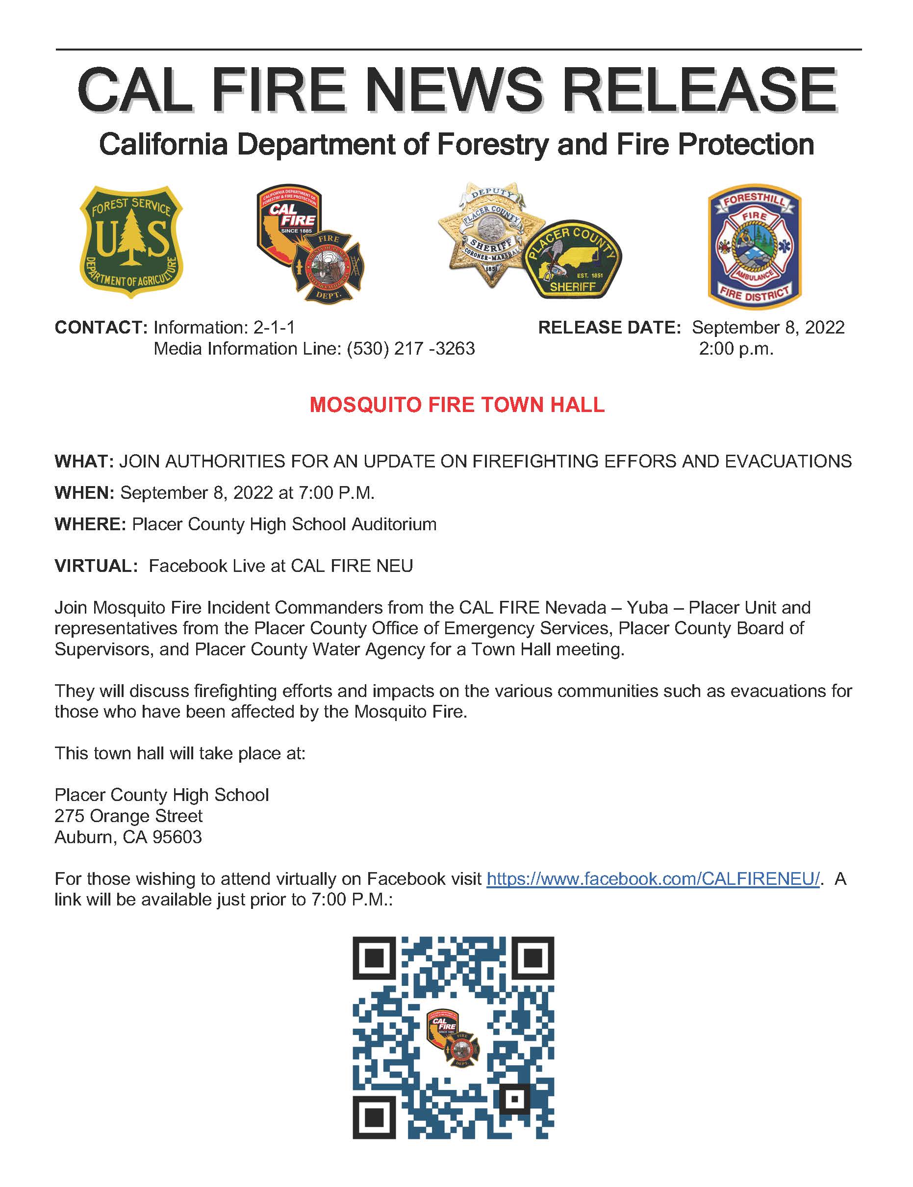
Mosquito Fire Community Meeting 090822 7 PM
Related Incident: Mosquito Fire
Publication Type: Announcement
Mosquito Fire Town Hall 9/8 at 7 pm see attachment for details
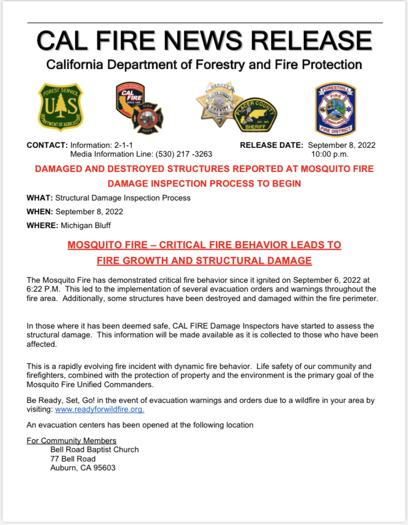
Mosquito Fire Damage Assessment 090822
Related Incident: Mosquito Fire
Publication Type: Announcement
Please see the attached Mosquito Fire Damage Assessment News Release
Mosquito Fire Update 090822 AM
Related Incident: Mosquito Fire
Publication Type: News
Mosquito Fire Update (PDF) for 9/8 AM
Mosquito Fire Update 090722 PM
Related Incident: Mosquito Fire
Publication Type: News
Mosquito Fire Update 9/7 PM
Mosquito Fire Update 090722 AM
Related Incident: Mosquito Fire
Publication Type: News
Mosquito Fire Update for 9/7
Air Quality Advisory
Related Incident: Mosquito Fire
Publication Type: Announcement
Placer County Health and Human Services and the Placer County Air Pollution Control District are issuing a joint air quality advisory through Friday, September 9, due to potentially poor air quality conditions from smoke from the #MosquitoFire. More: https://placer.ca.gov/8251/Joint-air-quality-advisory-from-Placer-C