
Fall 2022 Pile Burning to Begin as Snow Accumulates11 29 2022
Related Incident: Arapaho and Roosevelt National Forests Pile Burning
Publication Type: News
FORT COLLINS, Colo. (Nov. 29, 2022) – U.S. Forest Service firefighters plan to start work on seasonal slash pile burning this fall, winter and spring as weather and fuel conditions allow on the Arapaho and Roosevelt National Forests.
Throughout the year, fuels reduction programs across the forest are ongoing, improving forest health through both hand and mechanical tree cutting. During this process larger logs are taken to market and smaller limbs, sapling and brush are piled together to dry for later burning. When the weather changes in the fall, winter and spring, and more moisture is present in the ecosystem, conditions become favorable for burning these piles. During this time, firefighters return to ignite piles that have been left to cure from thinning projects.
Piles are only ignited when fuels managers are confident that the project can be undertaken safely with considerations to current fuel and snow conditions, wind, temperature, available staffing, and smoke dispersal. These conditions are monitored on an on-going basis both before burning begins and after ignitions are complete to ensure the ignited piles remain within planned boundaries.
Smoke, flames, and glowing embers are often visible, and are a normal part of pile burning operations. This can be visible throughout the night. Moisture, namely snow, helps contain the piles and firefighters monitor the area during and after the burn. Monitoring continues until the piles are considered out. Public and firefighter safety is always the number-one priority in burning operations.
To see a list of all the areas where pile burning may take place, please check inciweb at https://inciweb.nwcg.gov/incident-information/coarf-arapaho-roosevelt-national-forests-pile-burning. Locations where burning is most likely to begin later this week include areas on the Sulphur Ranger District and the northwest portion of the Canyon Lakes Ranger District in the Roach area and northwest of Red Feather Lakes.
Prescribed fire smoke may affect your health. More information about smoke impacts is available at https://www.colorado.gov/pacific/cdphe/wood-smoke-and-health.
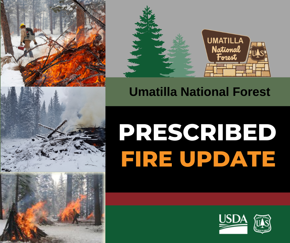
Umatilla National Forest Pile Burning Nov 29 2022
Related Incident: 2023 Umatilla NF Prescribed Fire
Publication Type: News
The Umatilla National Forest will continue to conduct pile burning operations over the next few weeks in various locations across the Forest. Visitors may see smoke from these operations and are encouraged to use caution if approaching an active pile burn. Roads and areas surrounding pile burning activity will be signed.
All burns will be monitored until a season ending rain or snow event occurs.
Additional information about pile burning activities will be posted at https://bluemtnprescribedfire.blogspot.com/
Pile burning this week:
- The Pomeroy Ranger District will be pile burning near the Stentz Springs Recreation Residences, along FSR 44 near Smoothing Iron Ridge and Cloverland Sno-Park, and on the FSR 4304.
- The Heppner Ranger District will be pile burning along Forest Service Road (FSR) 24 and along the west side of FSR 25.
Pile burning on the Umatilla National Forest
Related Incident: 2023 Umatilla NF Prescribed Fire
Publication Type: News
The Umatilla National Forest will continue to conduct pile burning operations over the next few weeks in various locations across the Forest. Visitors may see smoke from these operations and are encouraged to use caution if approaching an active pile burn. Roads and areas surrounding pile burning activity will be signed.
All burns will be monitored until a season ending rain or snow event occurs.
Additional information about pile burning activities will be posted at https://bluemtnprescribedfire.blogspot.com/
Pile burning this week:
- The Heppner Ranger District will be pile burning along Forest Service Road (FSR) 24.
- The Pomeroy Ranger District will be pile burning near the Stentz Springs Recreation Residences.
Chinook Complex Update November 23 2022 900 am
Related Incident: Chinook Complex
Publication Type: News
Chinook Complex Update – November 23, 2022 9:00am
Overview: The Chinook and Brix Fires make up the Chinook Complex which is located near Chinook WA in Pacific County. The fires are burning in logging slash on private land under the Washington DNR fire response area. The Chinook Fire started on Tuesday November 15, 2022 at approximately 11:00 am and the Brix Fire started late Thursday evening on November 17, 2022. At 3:00pm today the Washington DNR Type III Incident Management Team will return jurisdiction of the Chinook Complex to the local DNR North Fire Unit. Containment of the complex fires is at 100% and this will be the last update.
Fire Behavior: The fire was burning in slash, steep previously harvest slopes as well as in young timber stands and small pockets of mature timber. Recent rains and firefighting efforts have help to have the fire reach 100% containment.
Smoke: People in the community may continue to see smoke in the area of the fire for week’s even months to come as stumps and slash continue to burn with in the fire perimeter.
Weather: Cooler temperatures and rain are expected through the Thanksgiving Holiday weekend.
Closures: No closures are in place.
Evacuations: No evacuations are in currently in place.
Level 1 – Get Ready
Level 2 – Get Set
Level 3 - GO
Sign up for Pacific County alerts: Click on the link to sign-up, hyper-reach.com/wapacificsignup.html. The hyper-reach system notifies you by email, phone, and/or text in the event of an emergency.
Size: Chinook Fire is approximately 120 acres and is in patrol status. Containment: 100%.
Brix Fire is 8.5 acres and is in patrol status.
Cause: Human Caused.
Public Information Officers: Sharon Steriti 360-852-3390,
InciWeb: https://inciweb.wildfire.gov/incident-information/wapcs-chinook-complex
DNR Website: Information on Wildfires | WA - DNR
Fire Smoke and Air Map: Fire and Smoke Map (airnow.gov)
Chinook Complex Update November 22 2022 1000 am
Related Incident: Chinook Complex
Publication Type: News
Chinook Complex Update – November 22, 2022 10:00am
Overview: The Chinook and Brix Fires make up the Chinook Complex which is located near Chinook WA in Pacific County. The fires are burning in logging slash on private land under the Washington DNR fire response area. The Chinook Fire started on Tuesday November 15, 2022 at approximately 11:00 am and the Brix Fire started late Thursday evening on November 17, 2022. Due to the increase in size and complexity of the Chinook Fire a Washington DNR Type III Incident Management Team is in place. Due to better mapping the Chinook Fire is being reported to be approximately 120 acres in size, and is currently 65 percent contained.
Fire Behavior: The fire is burning in slash, steep previously harvest slopes as well as in young timber stands and small pockets of mature timber.
Smoke: People in the community may continue to see smoke in the area of the fire for week’s even months to come as suppression work continues throughout the fall.
Weather: Firefighters were able to make good progress yesterday. Cooler temperatures and rain are expected through the Thanksgiving Holiday weekend.
Closures: No closures are in place.
Evacuations: No evacuations are in currently in place.
Level 1 – Get Ready
Level 2 – Get Set
Level 3 - GO
Sign up for Pacific County alerts: Click on the link to sign-up, hyper-reach.com/wapacificsignup.html. The hyper-reach system notifies you by email, phone, and/or text in the event of an emergency.
Size: Chinook Fire is approximately 120 acres and is in patrol status. Containment: 65%
Brix Fire is 8.5 acres and is in patrol status.
Cause: Human Caused.
Public Information Officers: Sharon Steriti 360-852-3390,
InciWeb: https://inciweb.wildfire.gov/incident-information/wapcs-chinook-complex
DNR Website: Information on Wildfires | WA - DNR
Fire Smoke and Air Map: Fire and Smoke Map (airnow.gov)
Pile Burning on the Umatilla National Forest
Related Incident: 2023 Umatilla NF Prescribed Fire
Publication Type: News
The Umatilla National Forest intends to conduct pile burning operations over the next few weeks in various locations across the Forest. Visitors may see smoke from these operations and are encouraged to use caution if approaching an active pile burn. Roads and areas surrounding pile burning activity will be signed..
All burns will be monitored until a season ending rain or snow event occurs.
Additional information about pile burning activities will be posted at https://bluemtnprescribedfire.blogspot.com/
Pile burning this week:
- The Heppner Ranger District will be pile burning along Forest Service Road (FSR) 2408.
- The Pomeroy Ranger District will be pile burning along FSR 43, 4304, 44, 40 and 42.
Chinook Complex Update November 21 2022 800 am
Related Incident: Chinook Complex
Publication Type: News
Chinook Complex Update – November 21, 2022 8:00am
Overview: The Chinook and Brix Fires make up the Chinook Complex which is located near Chinook WA in Pacific County. The fires are burning in logging slash on private land under the Washington DNR fire response area. The Chinook Fire started on Tuesday November 15, 2022 at approximately 11:00 am and the Brix Fire started late Thursday evening on November 17, 2022. Due to the increased size and complexity of the Chinook Fire a Washington DNR Type III Incident Management Team has been put in place. The Chinook Fire is approximately 139 acres in size and is currently 43 percent contained. We were better able to map the area to give a more accurate account of the acres burned. The Brix Fire is 8.5 acres and is currently in patrol status. These fires are uncontained and acres may increase.
Fire Behavior: Strong east winds and dry conditions saw the fire grow from 35 acres on Friday night November 18, to over 100 acres on Saturday November 19. Ground and aviation resources are engaging the fire. The fire is burning in slash, steep previously harvest slopes as well as in young timber stands and small pockets of mature timber. Fire behavior: wind driven runs, isolated single tree torching and short range spotting. The potential for fire growth remains and containment lines are being put in place.
Weather: Firefighters were able to make good progress yesterday. Rain is expected to start Monday evening and extend through the Thanksgiving Holiday weekend.
Closures: No closures are in place.
Evacuations: No evacuations are in currently in place.
Level 1 – Get Ready
Level 2 – Get Set
Level 3 - GO
Sign up for Pacific County alerts: Click on the link to sign-up, hyper-reach.com/wapacificsignup.html. The hyper-reach system notifies you by email, phone, and/or text in the event of an emergency.
Size: Chinook Fire is approximately 139 acres with potential for growth. Containment: 43%
Brix Fire is 8.5 acres and is in patrol status.
Cause: Human Caused.
Public Information Officers: Sharon Steriti 360-852-3390,
InciWeb: https://inciweb.wildfire.gov/incident-information/wapcs-chinook-complex
DNR Website: Information on Wildfires | WA - DNR
Fire Smoke and Air Map: Fire and Smoke Map (airnow.gov)
Settings - change map background and toggle additional layers
Filter - control incident types displayed on map.
Zoom to your location
Reset map zoom and position
Could not determine your location.
Show Legend
 Wildfire
 Prescribed Fire
 Burned Area
Response
Burned Area
Response Other
Other
Chinook Complex
Unit Information
Incident Contacts
Kootenai River Complex BAER Assessment and Map
Related Incident: Kootenai River Complex BAER
Publication Type: News
Kootenai River Complex
Burned Area Emergency Response Assessment
October 2022
Boundary County, Idaho
Bonner’s Ferry Ranger District: Idaho Panhandle National Forest
Introduction/Background
The Kootenai River Complex includes several fire ignitions that started during lightning storms that occurred in August 2022, all on the Bonners Ferry Ranger District of the Idaho Panhandle National Forest. The first fire that was detected, Eneas Peak, was confirmed on August 13th, followed by the Trout Fire, the Russell Mountain Fire, the Scotch Fire, and the Katka fire. All fires burned in the Selkirks Northwest of Bonners Ferry, except for the Katka Fire which is located in the Cabinet Mountain Range approximately 8 miles east of Bonners Ferry. On September 2, 2022, the Eneas Peak, Katka, Russell Mountain, Scotch Creek, and Trout Fires were officially grouped into the Kootenai River Complex. Fires burned in overly steep and rocky terrain, resulting in mostly indirect fire suppression tactics along the eastern flank. Direct fire suppression tactics were utilized occasionally in the form of aerial operations with water bucket drops.
By the time of the BAER assessment, the Eneas Peak, Russell Mountain, Scotch Creek and Trout fires had merged into one fire perimeter. While the Katka and Long Canyon Fires were managed as a part of the complex, the geographic isolation from the bulk of the fire, as well as the size of these fires were suspected to not be a priority of this BAER assessment. A helicopter flight on October 12th by the BAER team lead confirmed that an in-depth analysis of the Katka and Long Canyon fires were unnecessary due to the low overall severity of the fire, size, and lack of BAER critical values proximal to these fires.
The BAER assessment began on October 11, using a BARC image that utilized a post-fire image for the dNBR dating October 1, 2022. The fire was still active and flanking at the time of the BAER assessment, and access to field verify the affected trail systems was compromised due to personnel safety concerns from fire-weakened trees. An interim BAER assessment may be utilized after a more thorough field evaluation of trail infrastructure.
Please see attached document for a full assessment and map of area.