
South Fork Prescribed Burn News Release
Related Incident: 2023 - South Fork Prescribed Burn, Summit Ranger District, Stanislaus National Forest
Publication Type: News
Summit Crews Expand RX Fire Operations to South Fork Area
SONORA, California June 12, 2023 – Looking to expand their prescribed fire goals for the spring season, fire managers with the Summit/Mi-Wok Ranger District will look to burn more than 300 acres in the South Fork area, approximately one mile northeast of the town of Sugar Pine. Assuming weather conditions are favorable, crew will begin ignitions June 19 and will continue operations as long as possible to complete the projected burn units.
The continued work is part of the U.S. Forest Service’s 10-year Wildfire Crisis Strategy of which the Stanislaus National Forest has been designated as one of the initial landscapes to receive additional funding and priority resource considerations to treat more than 305,000 acres along the Highway 108 corridor over the next ten years. Currently there are nearly 600 personnel assigned to the operation.
With the prescribed burn, fire professional will reduce the buildup of flammable forest fuels, both ground fuels and ladder fuels; reduce the threat of uncontrolled, large and damaging fires; treat activity generated fuels; improve protection for life, property, and resources. Prescribed burning is an effective, cost-efficient method of reducing flammable forest fuels, improving firefighting capabilities, and reducing the impacts of large, uncontrolled damaging wildland fires.
Smoke may be visible from Hwy. 108. Fire managers are working closely with local air districts and the California Air Resources Board to Mitigate the effects of smoke on the public. Please do not report as a wildland fire. Thank you for your cooperation!
Settings - change map background and toggle additional layers
Filter - control incident types displayed on map.
Zoom to your location
Reset map zoom and position
Could not determine your location.
Show Legend
 Wildfire
 Prescribed Fire
 Burned Area
Response
Burned Area
Response Other
Other
2023 - South Fork Prescribed Burn, Summit Ranger District, Stanislaus National Forest
Unit Information
Incident Contacts
Work Continues on Strawberry RX Burn News Release
Related Incident: 2023 - Strawberry Prescribed Burn, Summit Ranger District, Stanislaus National Forest
Publication Type: News
SONORA, California, May 30, 2023 – Fire managers have made good progress on the Strawberry Prescribed Fire having burned nearly 500 acres as of May 30. Motorists driving along the Highway 108 corridor may notice fire and smoke along the roadway as well as fire apparatus beginning Wednesday, June 1 and continuing June 9.
Motorists are urged to slow down and exercise caution when approaching Little Sweden from the east bound lane of Highway 108, the location of fire camp, all the way to the upper turn-off of Old Strawberry Road. Fire apparatus will be stationed along the highway to help remind motorists to exercise caution.
Currently there are 157 fire fighters assigned to the incident but numbers are expected to increase to nearly 300 personnel in the next few days.
The majority of the burn units are located north of Highway 108 in between the Cold Springs and Leland Meadows. Up to 2800 acres can be treated with low-intensity fire, with planned ignition on approximately 50-200 acres daily. Daily area burnt will vary based on environmental conditions and smoke production.
With the prescribed burn, fire professional will reduce the buildup of flammable forest fuels, both ground fuels and ladder fuels; reduce the threat of uncontrolled, large and damaging fires; treat activity generated fuels; improve protection for life, property, and resources. Prescribed burning is an effective, cost-efficient method of reducing flammable forest fuels, improving firefighting capabilities, and reducing the impacts of large, uncontrolled damaging wildland fires.
Thomas Mountain Broadcast Burn San Jacinto Ranger District 61923 Afternoon Update
Related Incident: 2023 - San Bernardino National Forest Wildfire Crisis Response
Publication Type: News
June 19, 2023 - Afternoon Update – Weather conditions for today are favorable for firefighters to utilize ground ignitions. The specific goal is to perform ground ignitions down the north side of Thomas Mountain to the constructed containment line.
Smoke is visible from Highway 74 and nearby communities.
#PrescribedBurn #PrescribedFire #ForestHealth #thomasmountainprescribedburn
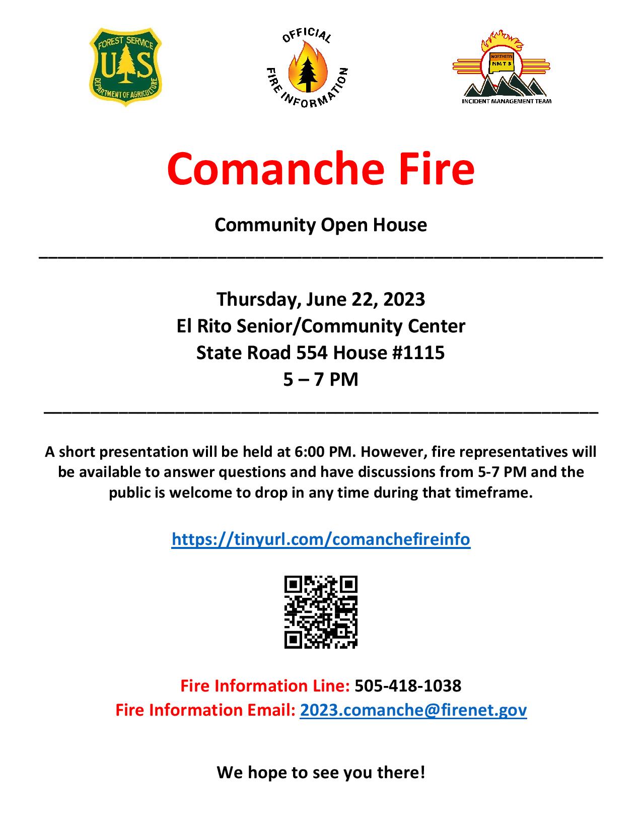
Community Open House June 22 2023
Related Incident: Comanche Fire
Publication Type: Announcement
Community Open House - June 22
Mon, 06/19/2023 - 16:52
Thursday, June 22, 2023
El Rito Senior/Community Center
State Road 554 House #1115
5 – 7 PM
The referenced media source is missing and needs to be re-embedded.
Wildfires in June are helping the forest
Related Incident: Hull FireRidge Fire
Publication Type: News
Release Date: Jun 17, 2023
The Ridge and Hull fires, burning in the ponderosa pine forests near Tusayan and the Grand Canyon, are not behaving the way people have come to expect of wildfires in the middle of June. Yet, both lightning-caused fires are burning as they naturally should in this fire-adapted ecosystem: moving slowly but steadily across the forest floor at lower intensity, removing hazardous fuels and promoting healthy vegetation.
Overall, the Hull and Ridge fires are expected to grow in size given the longer-term weather forecast, available fuels, and terrain. Fire activity was minimal yesterday due to higher humidities. Activity will likely increase over the weekend and into next week.
Wildfires do not come with an end date. Fire managers will manage the Hull and Ridge fires within designated areas as long as the fires continue burning in this manner and conditions allow crews to safely do so.
Crews on scene are patrolling, collecting data on fire behavior and on-the-ground conditions, and preparing roads and other natural control features by clearing any brush and conducting burnout operations to create perimeters around the designated areas within which the fires may burn. Many other specialists are actively involved in the management of these incidents. A meteorologist is providing current and forecast weather information, an air resource advisor is monitoring and modeling smoke production and dispersal, and wildlife biologists, botanists, and archaeologists are helping to ensure that natural and cultural resources are protected.
Smoke may be visible from various forest roads in and around the vicinity of these locations including Highway 180 and State Route 64. Within the park, smoke impacts may be most significant along Desert View Drive. If fire activity increases, smoke would also increase. Fire managers will keep the public informed of any potential smoke impacts. AirNow.gov contains a wealth of information about smoke and air quality in your area.
At this time, no direct impacts to developed areas in the nearby communities are anticipated.
Fire personnel and vehicles will be visible to the public. Motorists and visitors are asked to avoid active hot areas and are reminded to use caution and drive with heightened awareness when passing through any fire vicinity.
Ridge Fire:
- Lightning caused; discovered June 4.
- Located approximately 7 miles southeast of Tusayan along forest road 302 near Skinner Tank.
- 611 acres, generally moving south along Skinner Ridge
Hull Fire (co-managed by the Forest Service and Grand Canyon National Park):
- Lightning caused; discovered June 4
- Located near Lower Hull Tank and Hull Cabin along the Kaibab National Forest and Grand Canyon National Park boundary just northeast of the Grand View Lookout and east of Grandview Point.
- 359 acres, spreading in a northerly direction.
The Kaibab National Forest is one of many fire-adapted ecosystems. Its vibrancy and resilience relies on fire occurring in approximately 10-year intervals. Decades of fire suppression, drought, and disease have resulted in an abundance of fuels, which leaves the forest vulnerable to more dangerous high-severity wildfires that can devastate watersheds, destroy wildlife habitat, and risk lives. In addition to reducing hazardous fuels, fire is also the mechanism for recycling nutrients into the soils which promote vegetation, like the composting and mulching process in humid environments.
Hull and Ridge are prime examples of how fire can behave when it occurs in natural return intervals as fire treatments have occurred both areas, most recently with the Lower Fire in 2011 (Hull) and a prescribed fire in 2012 (Ridge). Without an overabundance of accumulated fuels, the Hull and Ridge fires’ flame lengths and rate of spread are lower and smoke is significantly less than a destructive wildfire.
The unique weather of the 2023 has allowed forest managers to use the entire suite of fuels management strategies well into the summer months. So far this year, the Williams and Tusayan Ranger Districts completed over 26,500 acres of prescribed fire, including several thousand acres directly adjacent to communities. Now in June, the continuing cooler weather and higher humidities are contributing to fire managers’ ability to manage lightning-caused wildfires for forest health objectives.
These efforts align with the Forest Service’s 10-year Wildfire Crisis Strategy which aims to increase the use of fire on the landscape as well as other treatments to improve forest resiliency for generations to come.
Additional information can be found on the Kaibab NF website, Twitter, Facebook, Flickr, or by calling the Fire Information Hotline at 928-635-8311 or contacting local ranger stations.
Two new lightning caused wildfires on Tusayan Ranger District being managed on the landscape
Related Incident: Hull FireRidge Fire
Publication Type: News
Tusayan, Arizona, June 13, 2023 — Two new lightning caused wildfires discovered last week east of Tusayan will be managed within designated areas to reduce fuel loads and promote healthier landscapes.
The Ridge Fire started by lightning on June 4 is located approximately 7 miles southeast of Tusayan along forest road 302 near Skinner Tank. It is currently 112 acres burning in ponderosa pine forest, and is moving south along Skinner Ridge.
The Hull Fire also started by lightning on June 4 is located near Lower Hull Tank along the Kaibab National Forest and Grand Canyon National Park boundary just northeast of the Grand View Lookout and east of Grandview Point. The Hull fire is currently at 55 acres burning in ponderosa pine forest, it is spreading north, and is being co-managed by the Grand Canyon National Park.
The overall strategy will be to allow fire to burn as it would naturally as long as it can be safely managed while meeting objectives. Both these fires will be monitored as they spread with the goal of reducing hazardous fuel accumulations while restoring and maintaining forest health. They will also be beneficial for increasing protection of wildlife habitat, historic heritage sites, large old growth timber stands, and sensitive watersheds. Resource specialists will take great care to protect cultural and natural resources in and around the proposed burn area.
Size is expected to increase on both these fires as growth is largely influenced by weather, available fuels, and terrain.
Smoke may be visible from various forest roads in and around the vicinity of these locations including Highway 180 and State Route 64. Within the park, smoke impacts may be most significant along Desert View Drive.
No impacts are anticipated to reach developed areas in the surrounding communities at this time.
Fire personnel and vehicles will be visible to the public at these locations. Motorists and visitors are asked to avoid active hot areas and are reminded to use caution and drive with heightened awareness when passing through any fire vicinity.
The Kaibab National Forest is one of many fire-adapted ecosystems. It is dependent on fire to play a natural role in maintaining vibrant forest health. Decades of fire suppression has caused an abundance of fuels to build up, which can leave the forest vulnerable and susceptible to more dangerous high-severity wildfires. Managing naturally caused wildfires across the landscape is a very effective tool in restoring the forest to a healthier condition.
Additional information can be found on the Kaibab NF website, Twitter, Facebook, Flickr, or by calling the Fire Information Hotline at 928-635-8311 or contacting local ranger stations.
Prescribed Fire Planned at New MexicoColorado Border
Related Incident:
Publication Type: News
TAOS, NM, June 19, 2023 – Conditions are becoming favorable to begin ignitions on the previously announced Bighorn/Stateline Project at the New Mexico-Colorado state border near U.S. Route 285. Weather and conditions permitting, crews will begin burning on or around Sat., Jun. 24. This 700- to 900-acre prescribed fire in collaboration with the Rio Grande National Forest will include 216 acres on the Carson National Forest.
“As a primary containment feature, the grass has greened up nicely while the targeted slash continues to dry out,” said Conejos Peak District Ranger Andrea Jones of the Rio Grande National Forest. “With favorable live-fuels moistures, this should serve well to meet our remaining fuels reduction objectives on this previously thinned project.”
Active lighting is expected to take up to three days. Once ignitions are completed, firefighters will continue to patrol the area to ensure containment of the fire as interior fuels continue to slowly consume.
The prescribed fire is located within the Rio Chama Collaborative Forest Landscape Restoration Project, and aims to increase the health of forest conditions, which are inextricably linked to water quality and quantity downstream. Cross-boundary collaboration is a key to the success of the project, which covers 3.8 million acres between New Mexico and Colorado.
Updates for the Bighorn/Stateline Prescribed Fire will be posted on InciWeb at and the Forest’s social media channels (Facebook, Twitter).
Two Prescribed Fires Planned Near Mogote June 19
Related Incident:
Publication Type: News
LA JARA, CO, June 19, 2023 – Conditions are becoming favorable to begin ignitions on the previously announced Bighorn/Stateline Project near Mogote, CO. Weather and conditions permitting, crews will begin burning on or around Sat., June 24. This 700 to 900-acre prescribed fire will include 216 acres on the Carson National Forest in New Mexico and will be conducted in close coordination with their fire management staff.
“As a primary containment feature, the grass has greened up nicely while the targeted slash continues to dry out,” said Conejos Peak District Ranger Andrea Jones. “With favorable live-fuels moistures, this should serve well to meet our remaining fuels reduction objectives on this previously thinned project.”
Active lighting is expected to take up to three days. Once ignitions are completed, fire crews will continue to patrol the area to ensure containment of the fire as interior fuels continue to slowly consume. The Bighorn/Stateline prescribed burn falls within the Rio Chama Collaborative Forest Landscape Restoration Project boundaries.
After the Bighorn Stateline project is completed, fire crews plan to shift operations to the Conejos Canyon project. This 200-acre prescribed fire area is located on the northern edge of the Fox Creek subdivision. The burn is designed to reduce fuels buildup adjacent to the subdivision. Ignitions are planned for only 1 day, but crews will remain on site as long as needed to secure the fire.
Local residents will be contacted prior to initiation of the prescribed burns. Smoke may be more visible during active lighting times, and when the occasional tree torching in the interior occurs.
Prescribed fire smoke may affect your health. For more information see https://www.colorado.gov/pacific/cdphe/wood-smoke-and-health
Updates for the Bighorn/Stateline and Conejos Canyon Prescribed Fires will be posted on InciWeb at https://inciweb.wildfire.gov/incident-information/corgf-bighorn-stateline-prescribed-fire and the Forest’s social media channels (Facebook, Twitter).
June 19 2023 Update
Related Incident: Comanche Fire
Publication Type: News
Northern New Mexico Type 3 Incident Management Team
Luke McLarty, Incident Commander
Fire Information:
505-418-1038
2023.comanche@firenet.gov
https://inciweb.nwcg.gov/
Upcoming Actions: Firing operations have been postponed again due to forecasted winds. However, fire managers, specialists and the meteorologist assisting with the Comanche Fire, will continuously assess the conditions of the focus area to determine if firing operations can begin Tue. Once conditions are advantageous for optimal fire behavior, ignitions can begin. This naturally caused fire is being managed with a confine and containment strategy, which means using tactical actions to manage the fire within a predetermined area (confine) and then using points to stop its spread (contain).
Smoke: Smoke may be visible from Canjilon, Abiquiu and El Rito and may impact the communities of Abiquiu, El Rito, Medenales, Hernandez and the Espanola Valley. Temporary smoke monitors are in the area. Air quality data and smoke information from the monitors are available from the Fire and Smoke Map at fire.airnow.gov.
Community Open House: Drop in between 5 and 7 p.m. on Thu., Jun. 22, at the El Rito Senior/Community Center at State Rd. 554, House #1115. Presentation at 6 p.m.
Closure: Temporary partial road closures are in effect on Forest Roads 137 and 20.
Fast Facts
Size: 36 acres
Cause: Lightning
Fuels: Ponderosa pine and mixed conifer Values at risk: Cultural/historical sites.
Percent Completed: 1%
Resources: 2 hand crews, 2 wildland fire modules, 6 engines, 1 dozer, 2 water tender, 2 REMS teams, total personnel 178