
Incident Media Maps
Could not determine your location.
 Wildfire
 Prescribed Fire
 Burned Area
Response
Burned Area
Response Other
Other
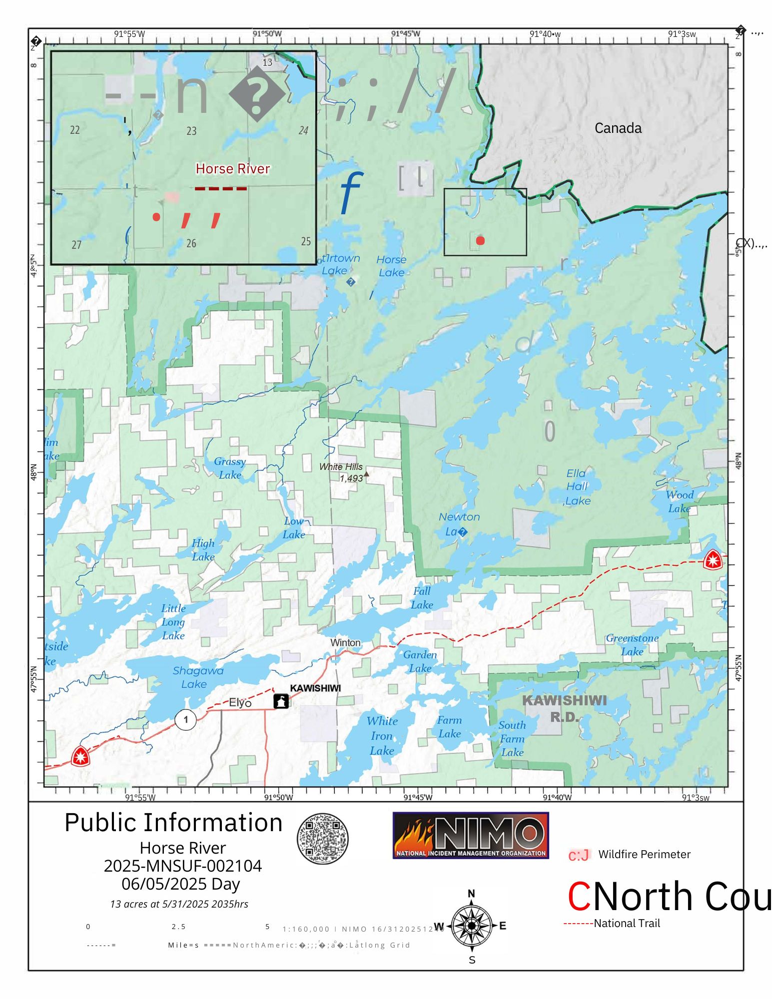
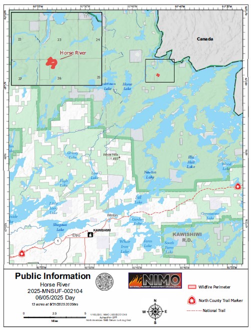
Horse River Fire
Unit Information
Incident Contacts
- Jenkins Creek & Horse River Fire InformationPhone:610-574-1130Hours:9am-8pm
Maps Gallery

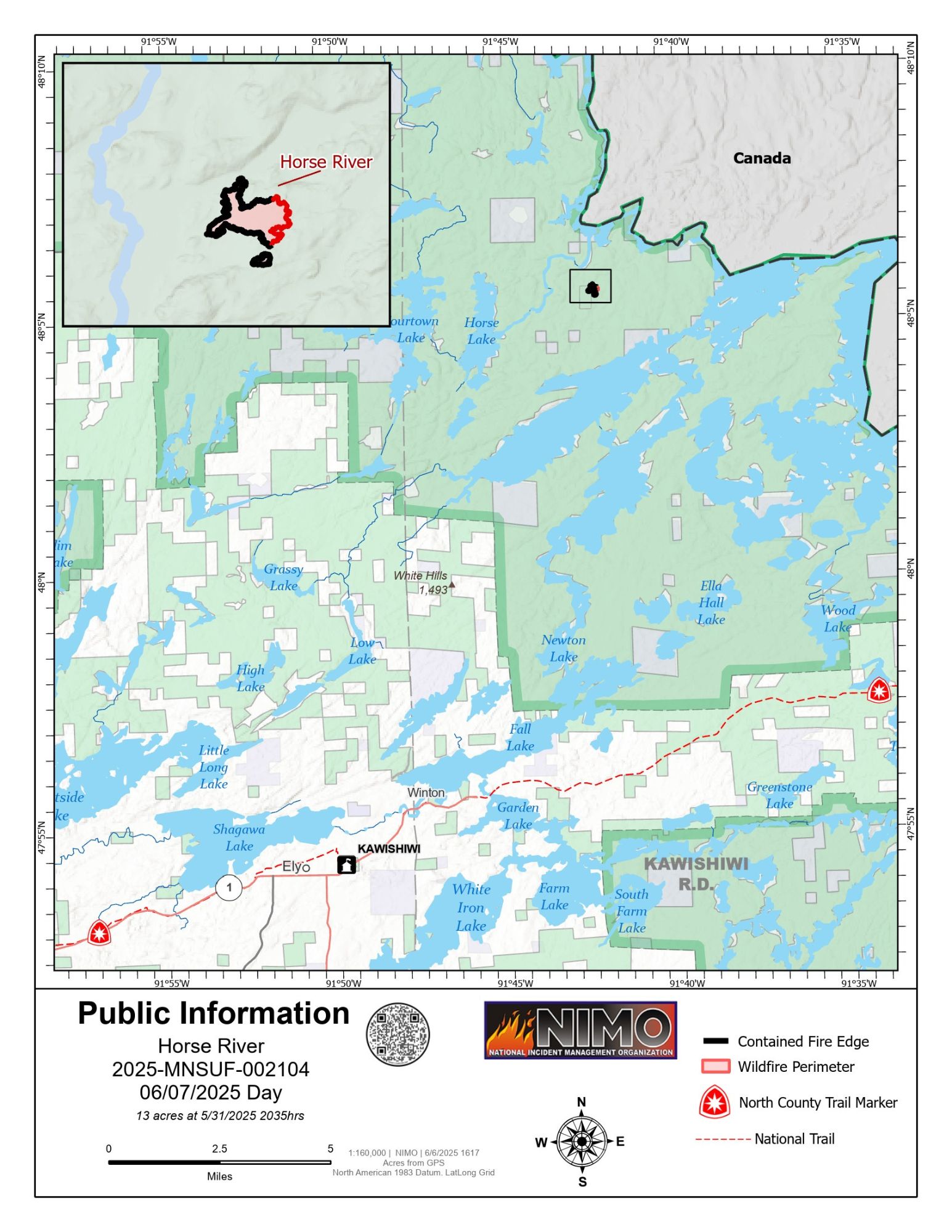
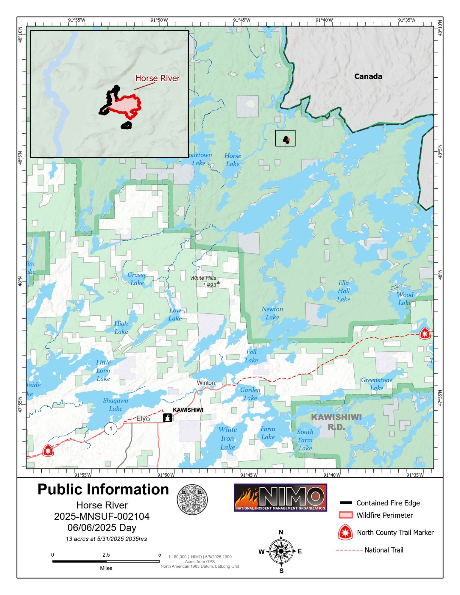
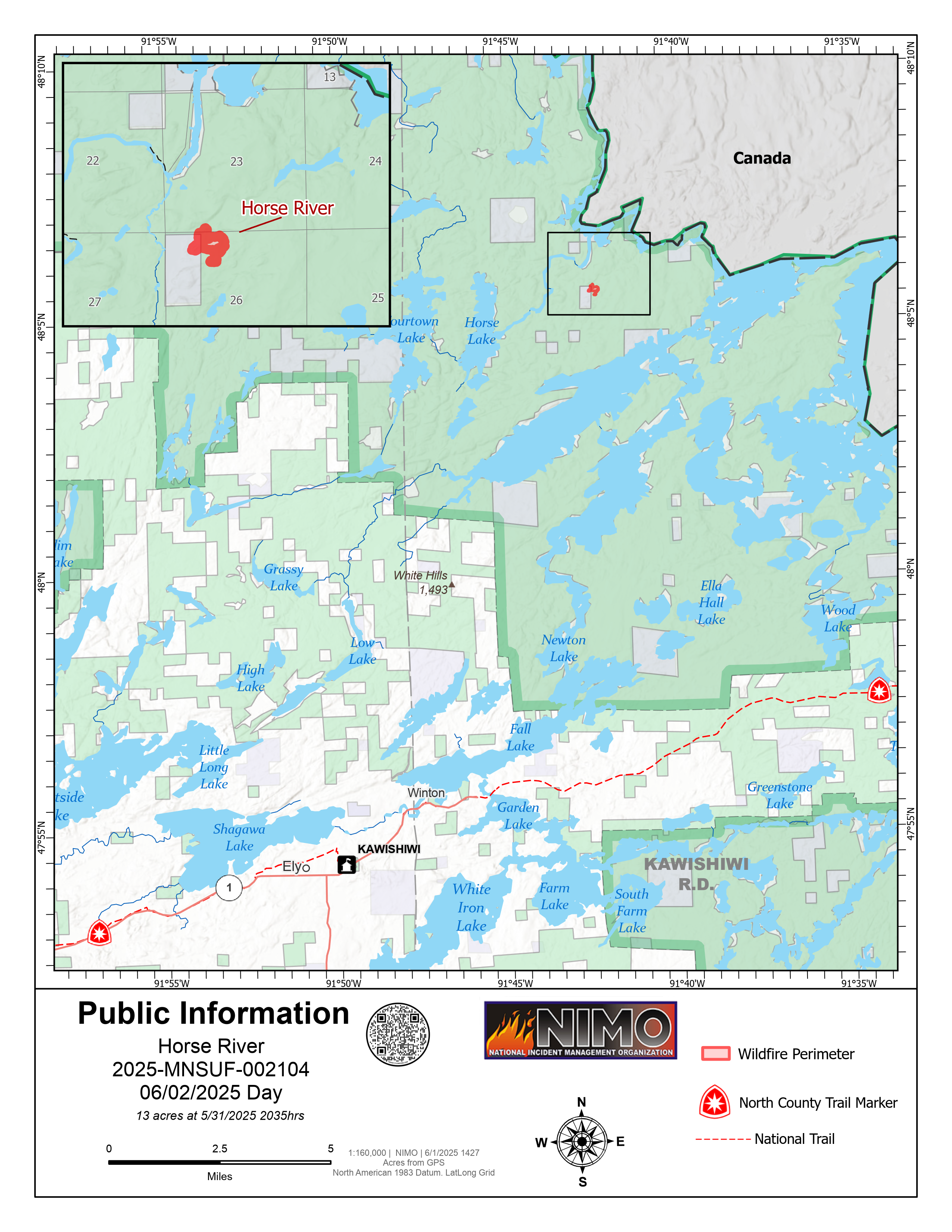
Horse River Fire Public Information Map showing 13 acres and 53% contained
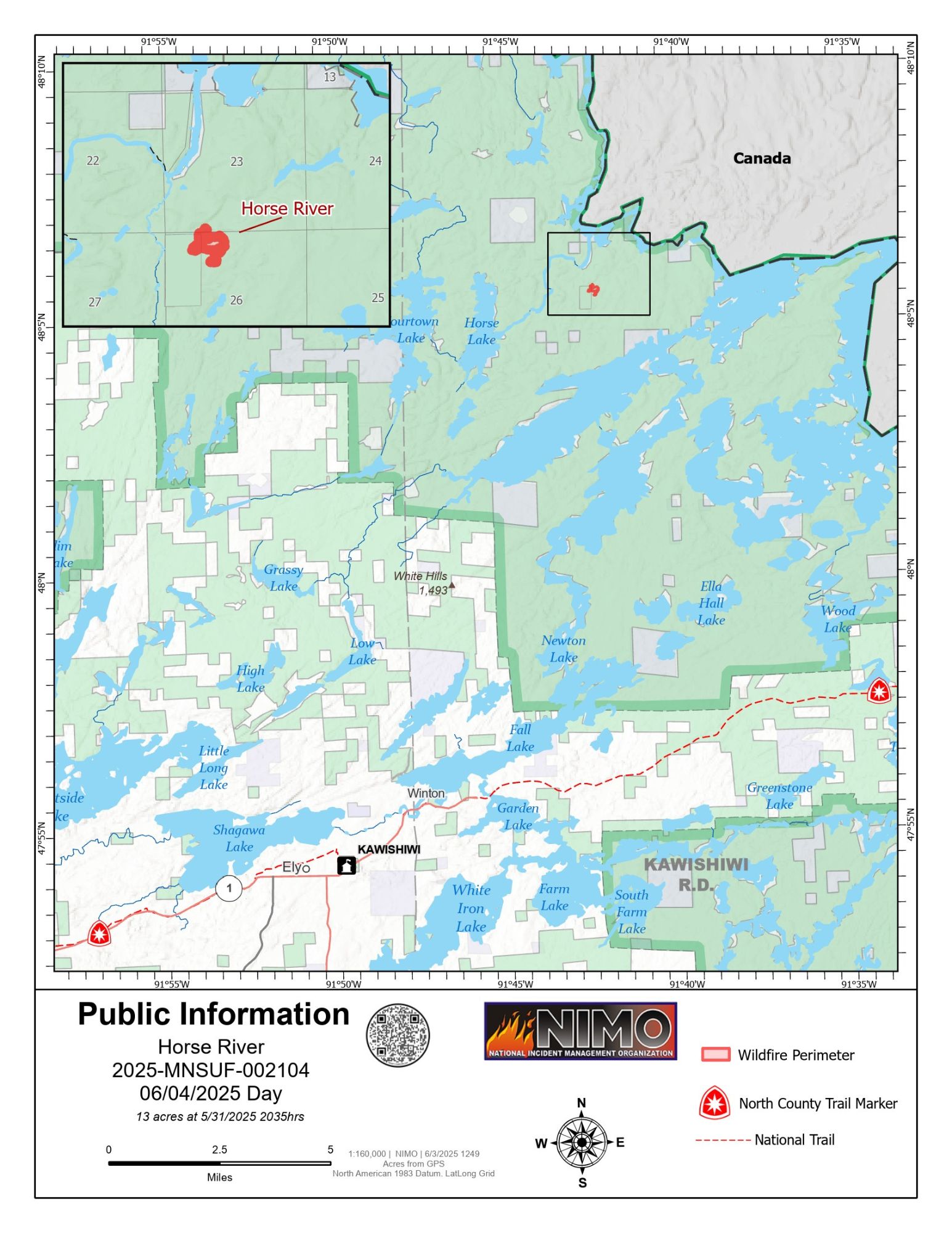

Horse River Fire update map for June 3, 2025. The fire remains small at 13 acres with no significant growth. The map highlights the fire perimeter, nearby natural features, and the North Country National Scenic Trail crossing the area. Fire crews continue monitoring and response efforts.
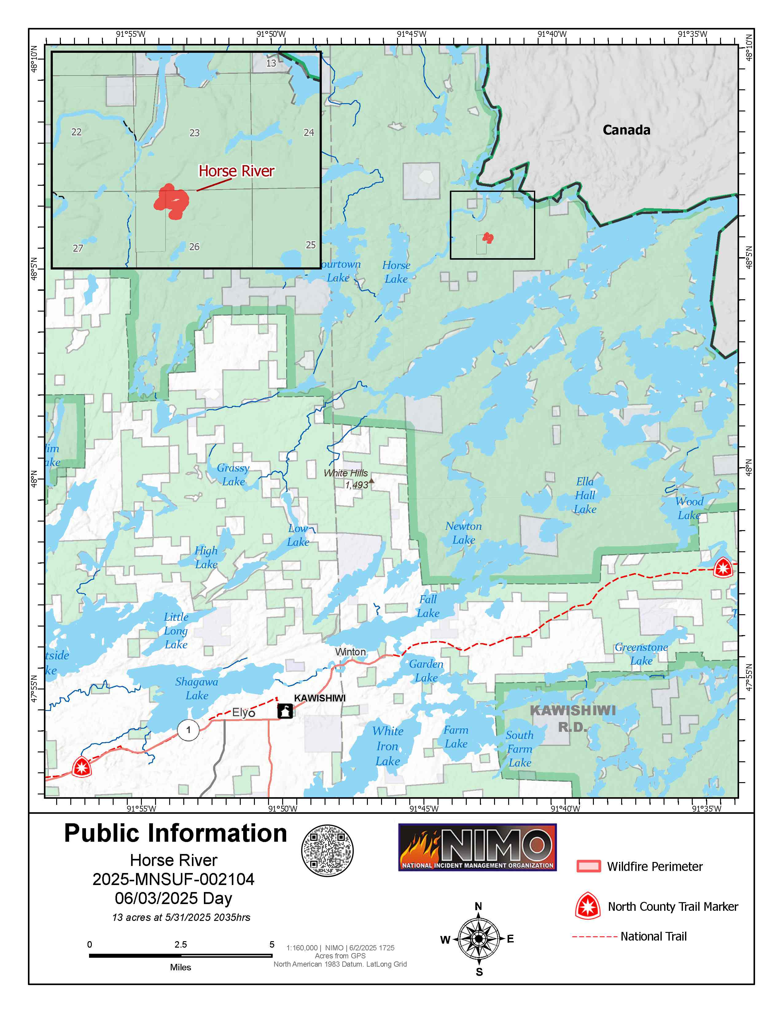
This public information map shows the current perimeter of the Horse River Fire in northeastern Minnesota. As of May 28, the fire covered approximately 10 acres. Crews continue assessment and response efforts in coordination with the Eastern Area Incident Management Team.
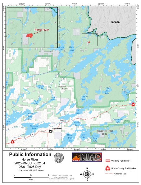
Operations map for the Horse River Fire (2025-MNSUF-002104) on May 29, 2025, detailing firefighting infrastructure, wildfire perimeter, and land management boundaries within the Boundary Waters Canoe Area Wilderness, Minnesota.