
Single Publication
Could not determine your location.
 Wildfire
 Prescribed Fire
 Burned Area
Response
Burned Area
Response Other
Other

Little Mesa Fire Update - August 17, 2023
Little Mesa Fire
Publication Type: News 08/18/2023
Little Mesa Fire Update
August 17, 2023
Location: Approx. 15 miles west, southwest of Delta, CO, Dominguez Escalante National Conservation Area
Discovered: July 31, 2023, 11:00 AM
Cause: Lightning
Estimated Size: 3,483 acres
Vegetation Type: Pinyon, Juniper, sagebrush, grass
Containment: 30%
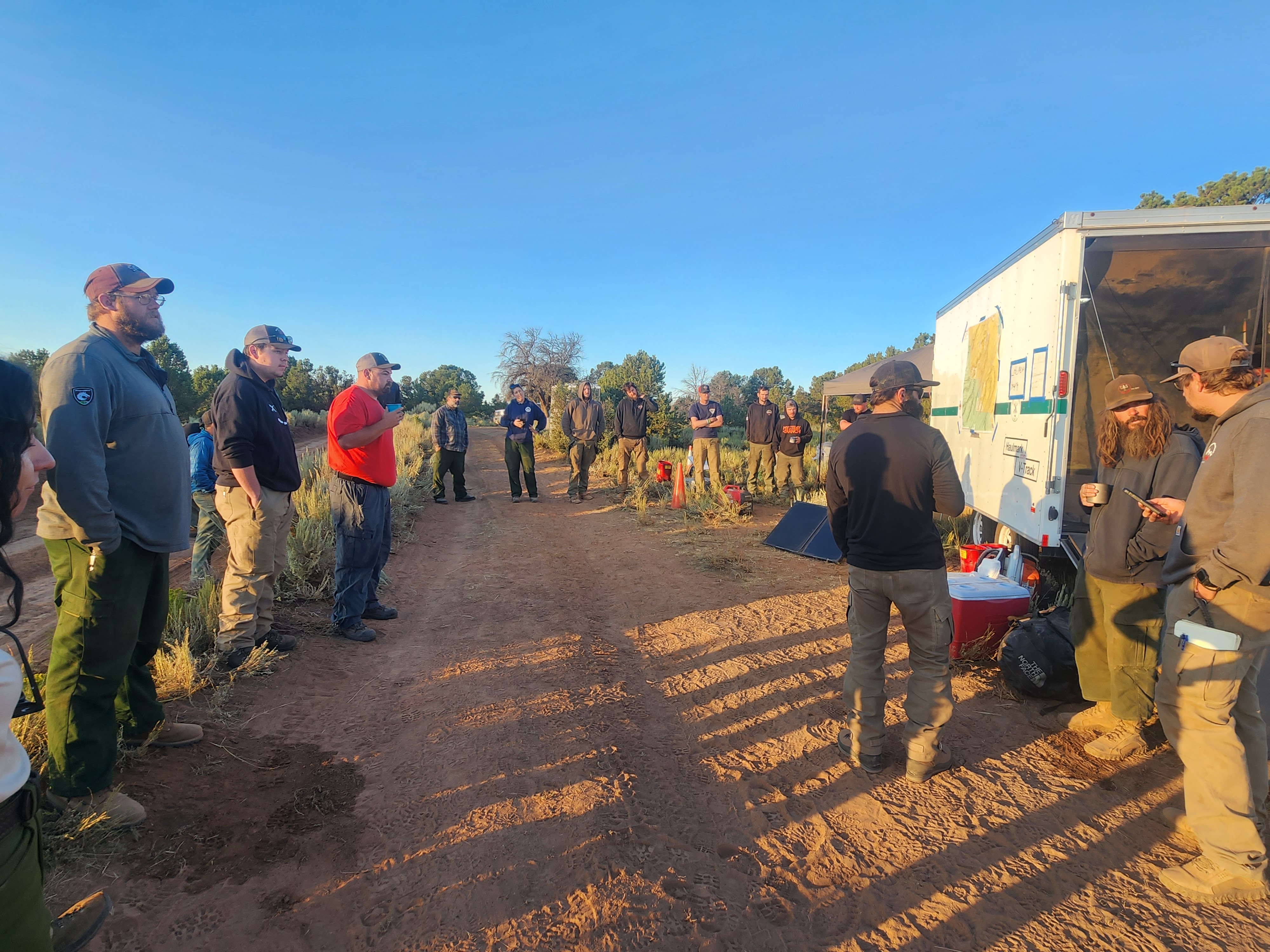
Total Personnel: 65
NOTICE TO THE PUBLIC: Air operations are being conducted on the Little Mesa Fire. For your safety, please stay out of the Potholes Recreation Area. The helicopters are using this water source for fire suppression.
Current Situation: There was no new growth on the fire yesterday, but an increase in containment. The fire will be transitioning to a Type 4 Incident Friday morning. Yesterday, firefighters had another productive day using hand ignition to clean up unburned pockets of vegetation to secure the fire perimeter. The excavator was busy repairing mastication lines, blading existing roads, and moving heavy material on previously closed roads.
Suppression repair continues today with the excavator resuming work on mastication lines and roads. Firefighters on the northern end of the fire will repair hand line along the Tatum Ridge Road, fix fences around the guzzlers, and seed the burn area. A guzzler is a self-filling, constructed water collection and storage unit used to provide water to wildlife and livestock. Hand ignition operations will continue focusing on the southern end to clean up pockets of unburned vegetation.
Weather: A plume of moisture will continue to arc over western Colorado through the end of the week, with showers and thunderstorms becoming likely by Friday afternoon. Storms are expected to form on the ridge of the Uncompahgre by early afternoon and work their way towards the fire each afternoon. Temperatures will be in the 80s, with terrain-driven winds that increase to 10 to 15 mph in the afternoon, then switch to a southeast wind in the evening. Lightning and heavy rainfall will be the main threats, though small hail and gusty winds cannot be ruled out.
Evacuations and Closures: No evacuations have been issued. Temporary road closures are in place in Delta County on Dry Mesa Rd at the intersection with Escalante Rim Rd and on USFS Dry Mesa Rd at Sawmill Mesa Rd junction. The GMUG National Forests have issued a forest closure order for the area around the Little Mesa Fire. Public access to the closure area is limited. Visit https://bit.ly/3YwXNz0 for more information.
Smoke: Smoke is visible from surrounding areas and highways 50, 550, 92, 65, 141 and C37 Road. Go to fire.airnow.gov or colorado.gov/airquality/ to get updates on smoke conditions.
Aviation Safety: Incident aircraft may be flying over the Little Mesa Fire air space. Fire aviation resources are flying at different altitudes and speeds. Unmanned aircraft systems (UAS) or drones must never fly near wildfires. The only UAS or drones able to fly are agency owned and operated, which have been assigned to work on the wildfire and have communication with air operations. Remember if you fly, we can’t!
For updated information follow on these outlets:
Inciweb: https://inciweb.wildfire.gov/incident-information/coupd-little-mesa-fire
Facebook: @LittleMesaFire Twitter: @SWD_Fire