Incident Media Photographs
Could not determine your location.
Red Fire
Unit Information
Agency Name: U.S. Forest Service

Agency Name: U.S. Forest Service

Incident Contacts
Photographs Gallery
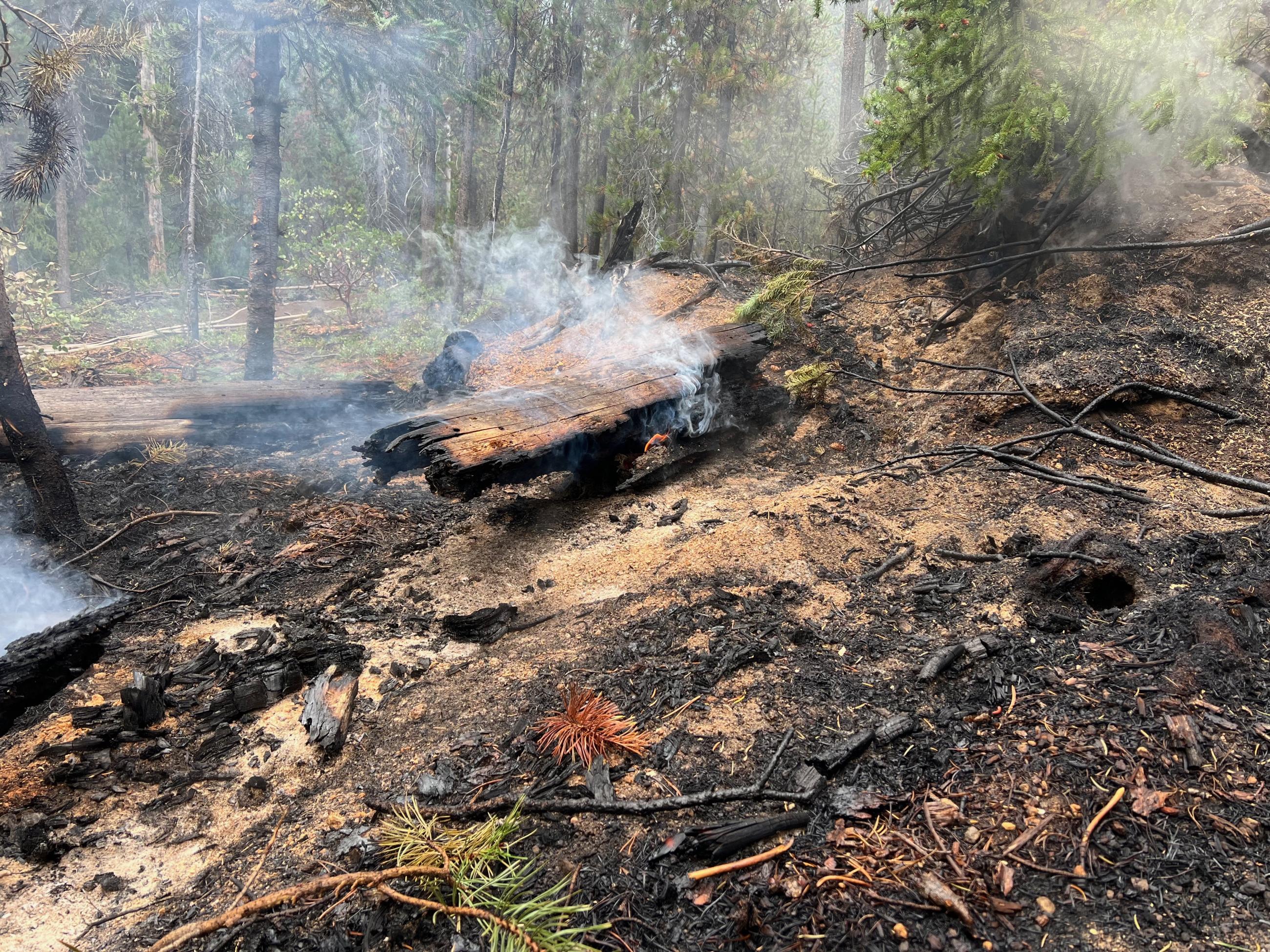
A log smolders on the forest floor amidst ash and burned soil. A small flame is visible under the log where recent rainfall failed to dampen the wood. Even after several days of rain, large logs can continue to burn, often resulting in smoke being occasionally observed within the fire footprint until snow blankets the area. Photo by Public Information Office Andy Lyon
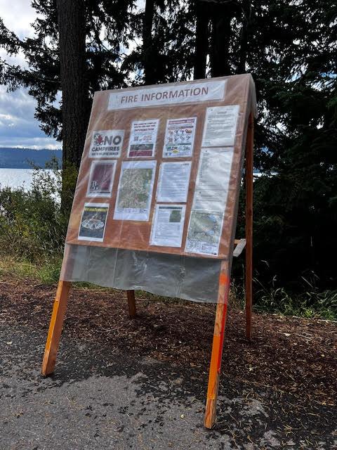
Incident Information Board located at the Diamond Peak Viewpoint on Highway 58, overlooking Odell Lake. The board is posted daily with current fire updates, public information maps, smoke reports, and other information associated with the Red Fire. Information boards like this are located in several locations impacted by the fire that are frequently visited by members of the public. Photo by Public Information Officer Nancy Jones
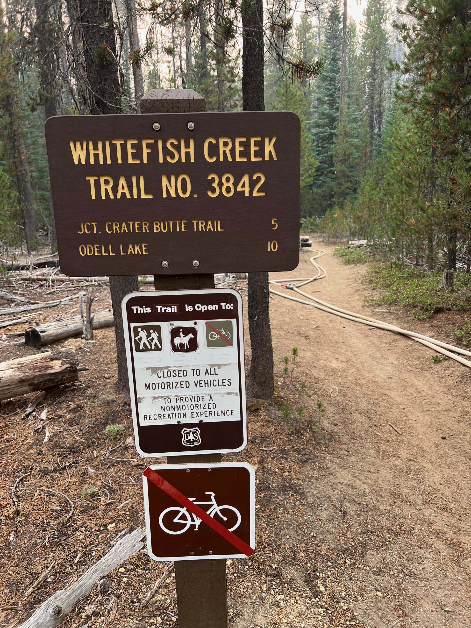
Red Fire Whitefish Horsecamp // PIO Andy Lyon
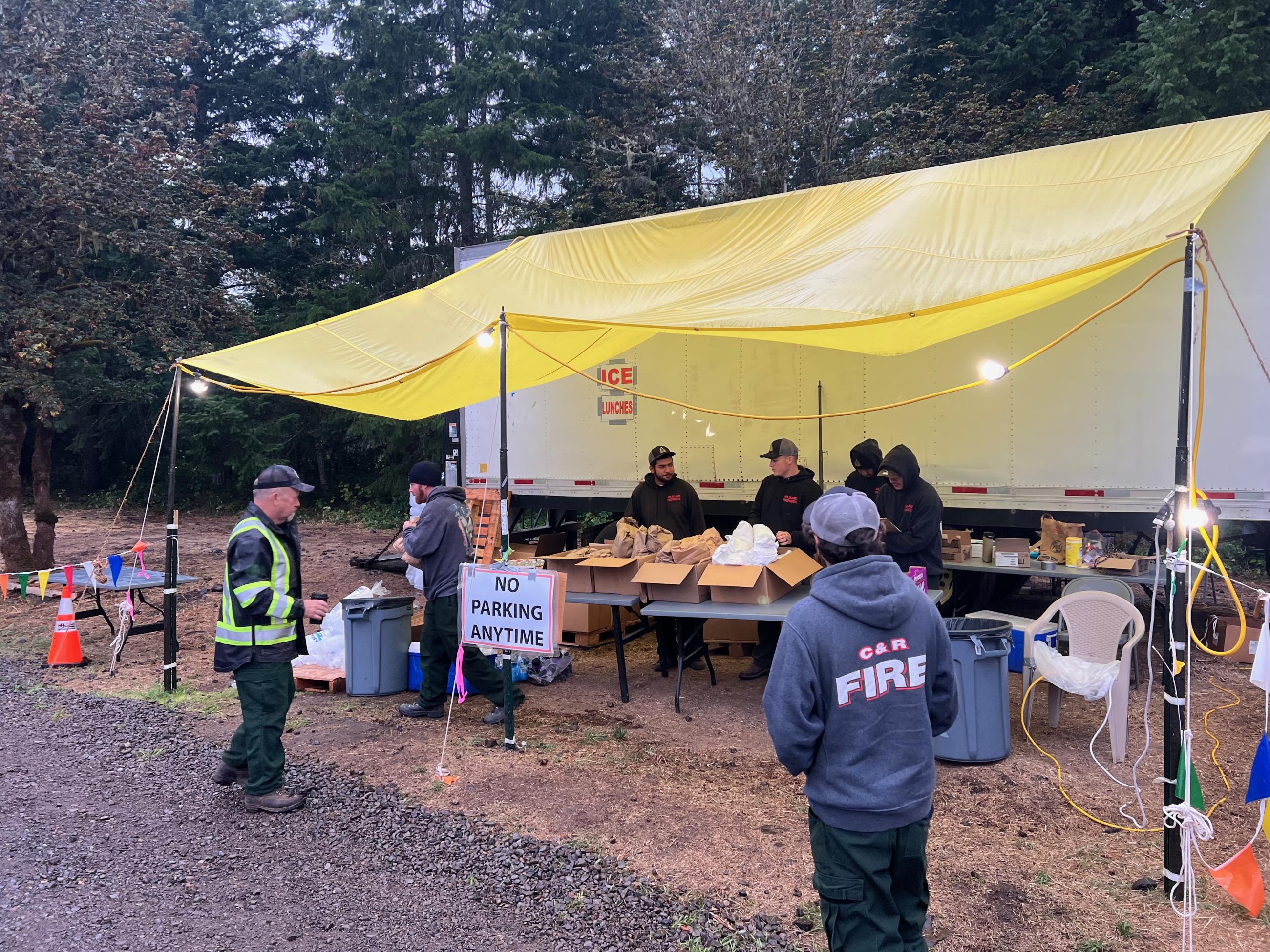
Faces from Camp & Field // Willamette South Complex & Red Fire // Andy Lyon
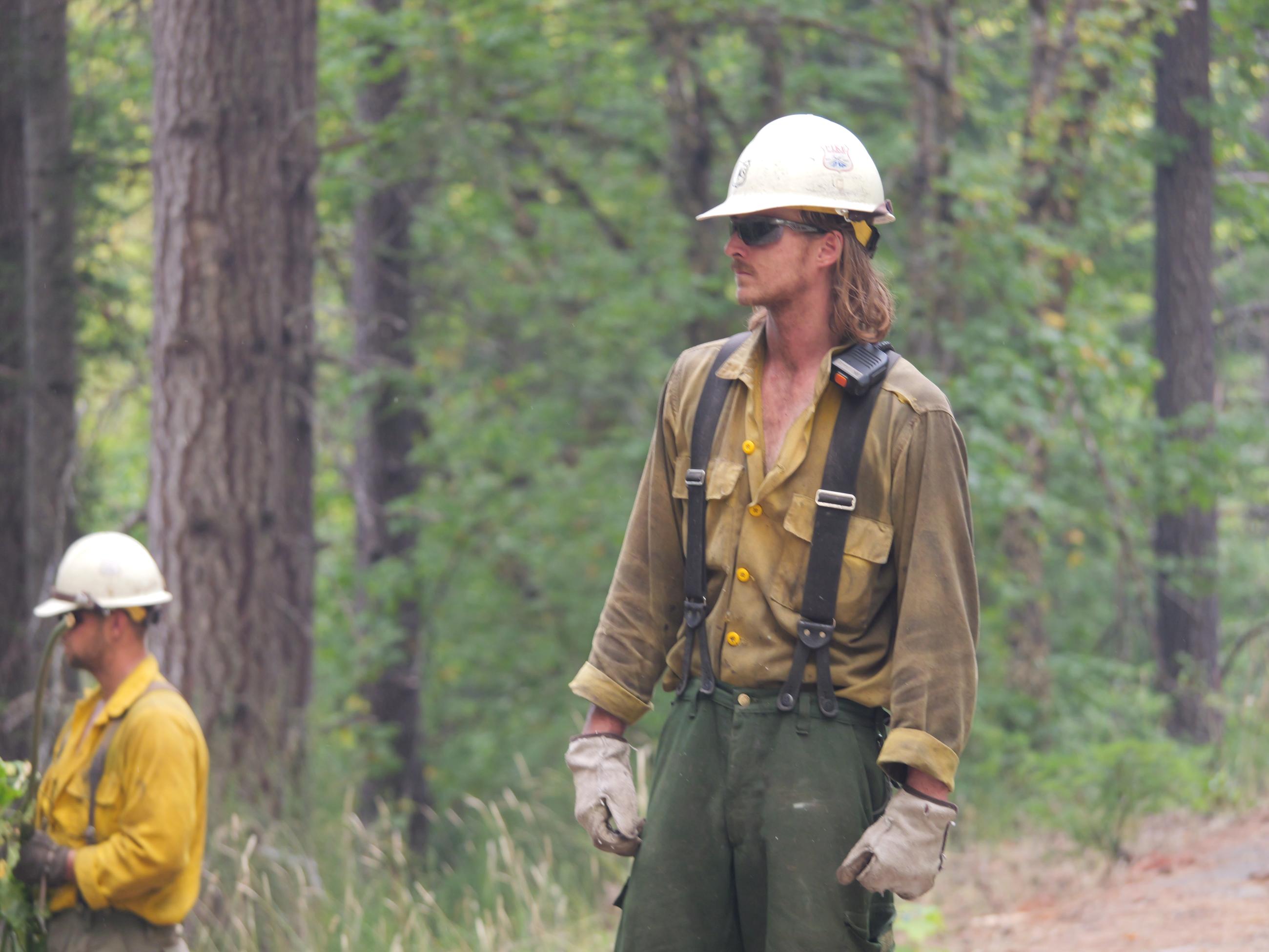
Fire Crews are Making Progress on Willamette Complex South & Red Fire
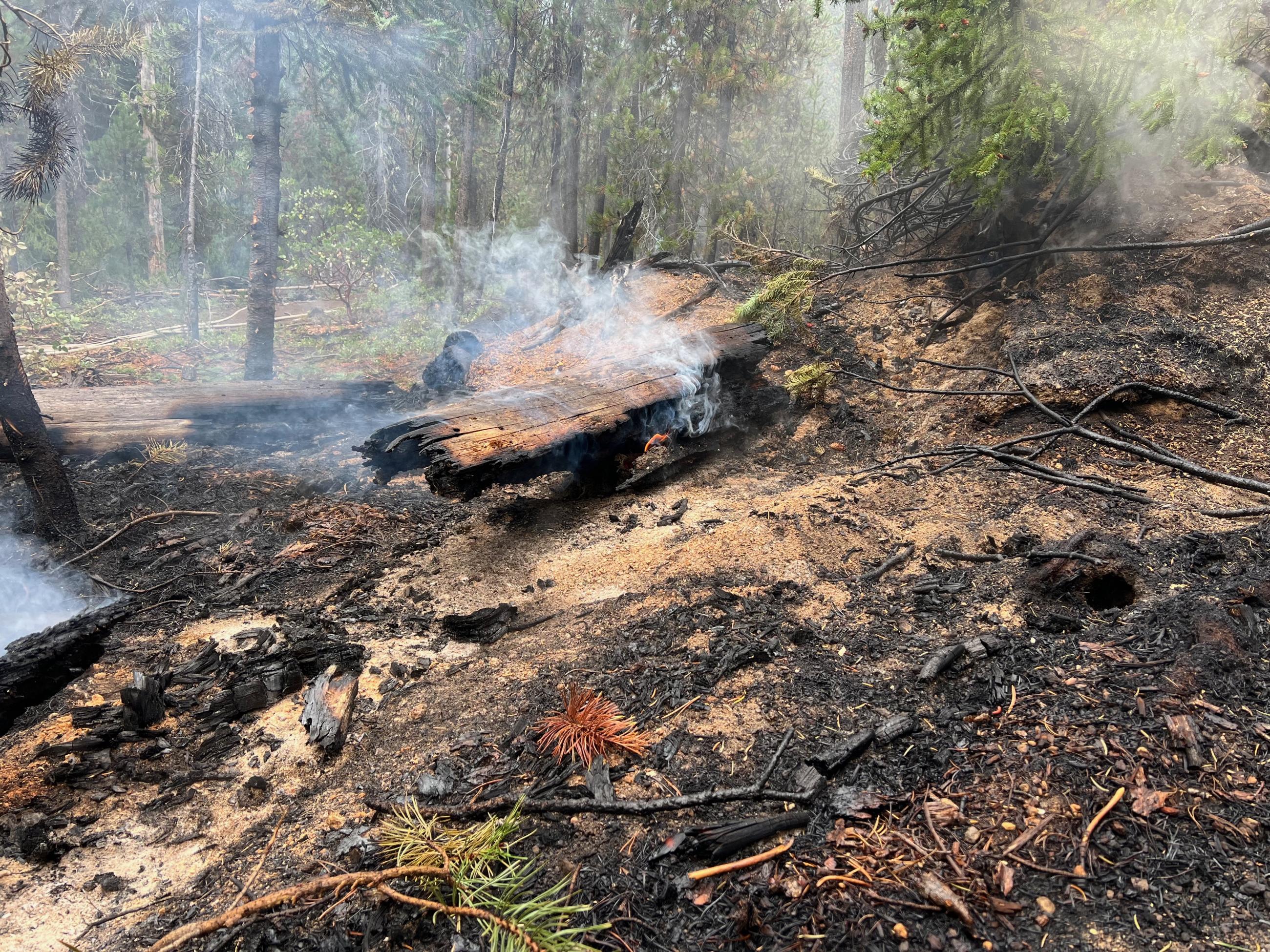
Creeping & Smoldering // Willamette South Complex & Red Fire // Andy Lyon
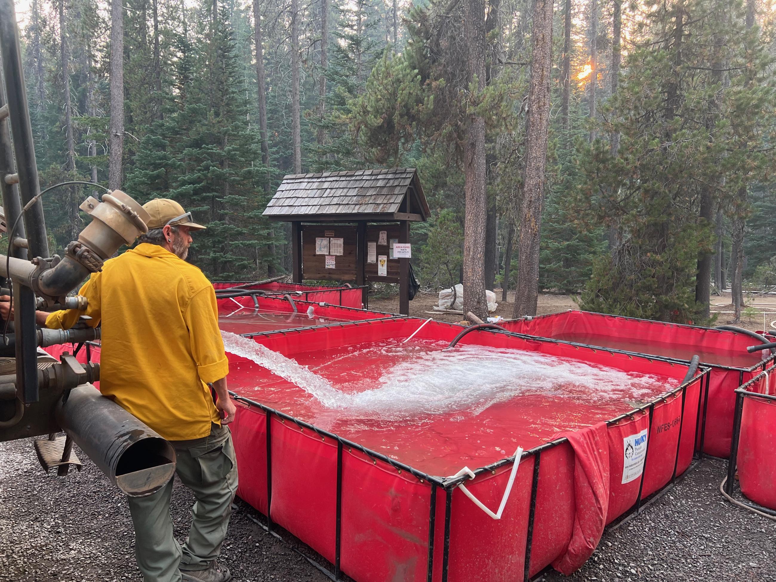
Portatanks Red Fire Whitefish Horsecamp // PIO Andy Lyon
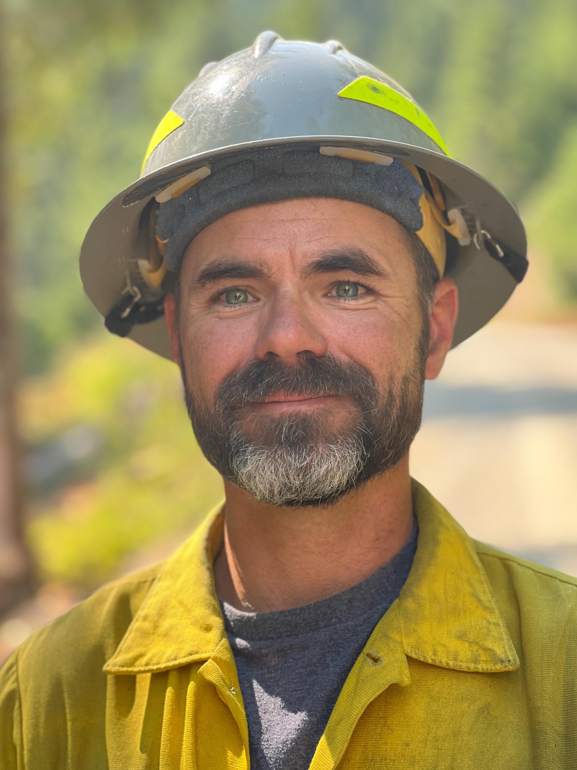
Faces from Camp & Field // Willamette South Complex & Red Fire // Andy Lyon
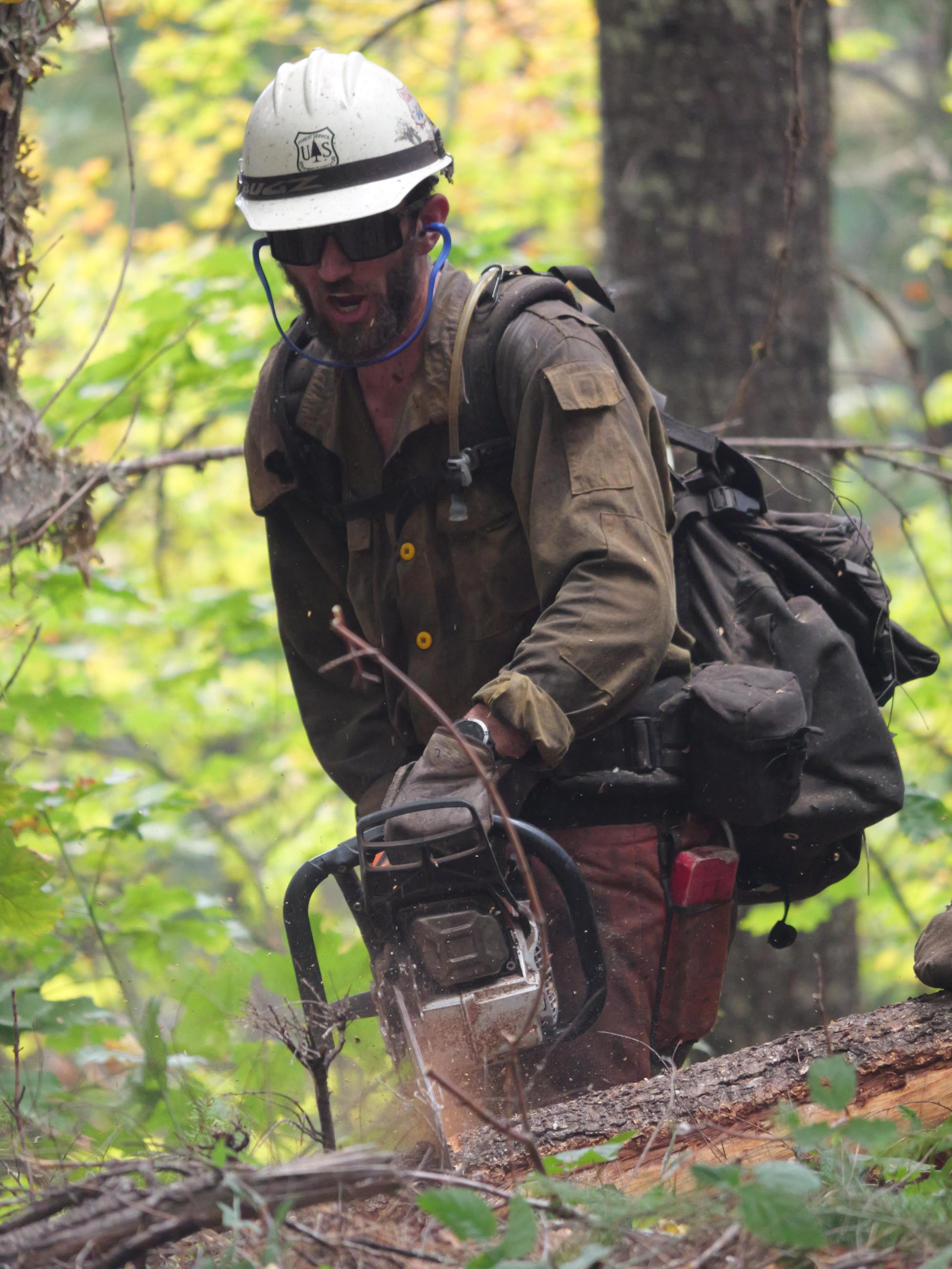
Fire Crews are Making Progress on Willamette Complex South & Red Fire
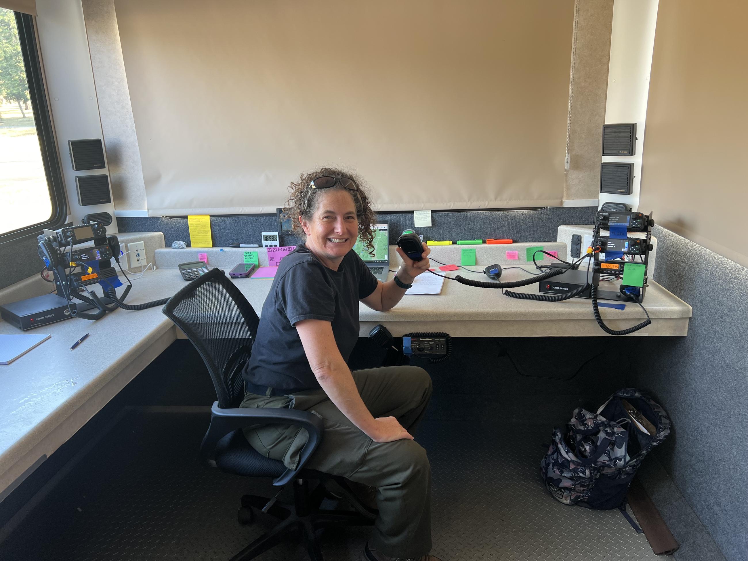
Faces from Camp & Field // Willamette South Complex & Red Fire // Andy Lyon

NW2 Incident Commander John Szulc // Red Fire
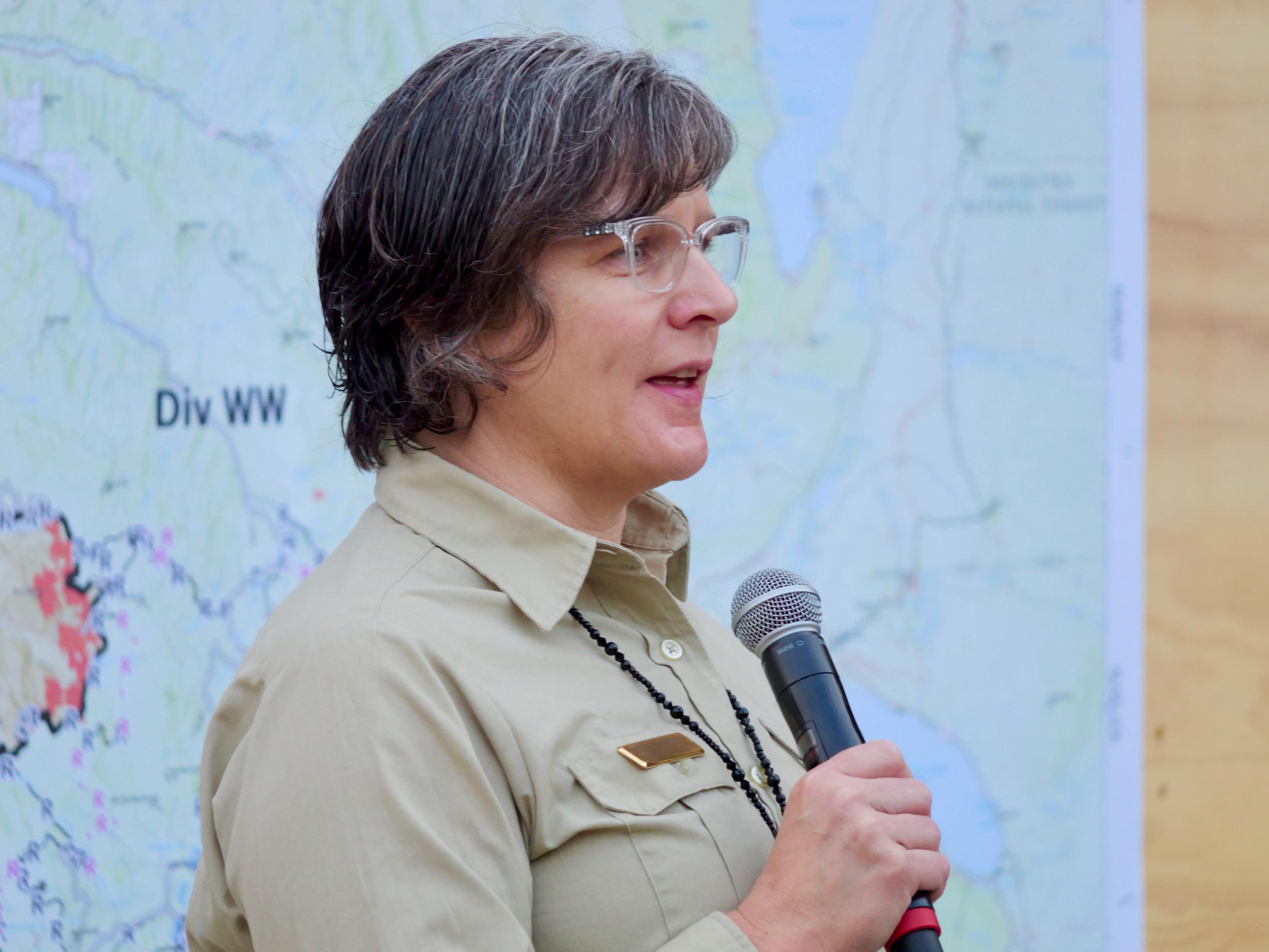
Faces From the Field // Willamette South Complex & Red Fire // Andy Lyon

 InciWeb