Incident Media Photographs
Could not determine your location.
Photographs Gallery
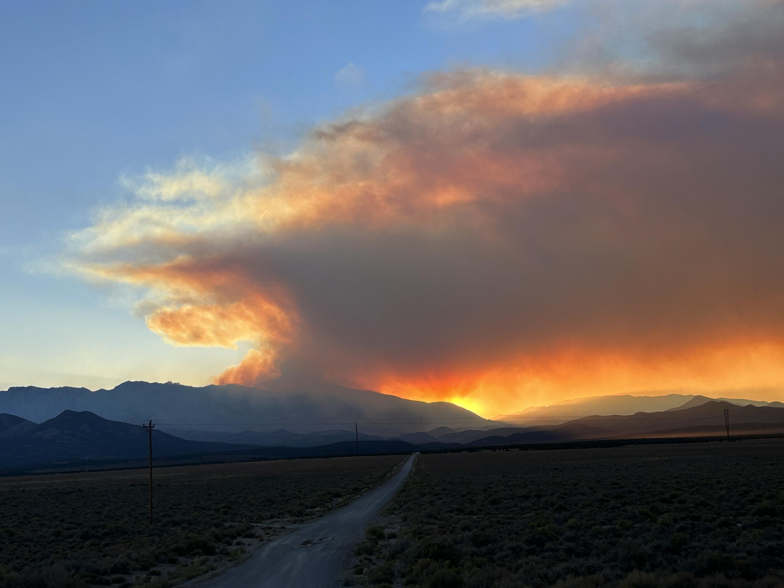
Smoke from the Broom Canyon Fire adds color to sunrises and sunsets.
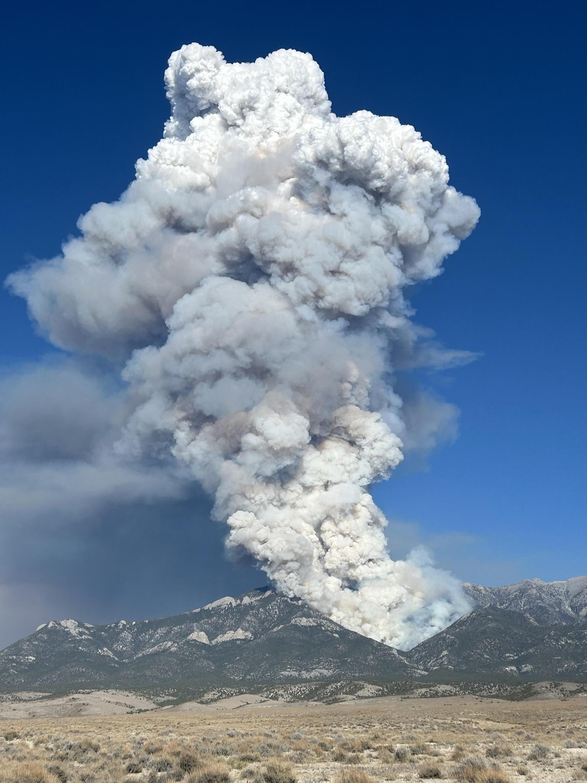
Over the Labor Day Weekend, the predicted winds increased the Broom Canyon Fire behavior resulting in large columns of smoke highly visible from southern Nevada and western Utah.
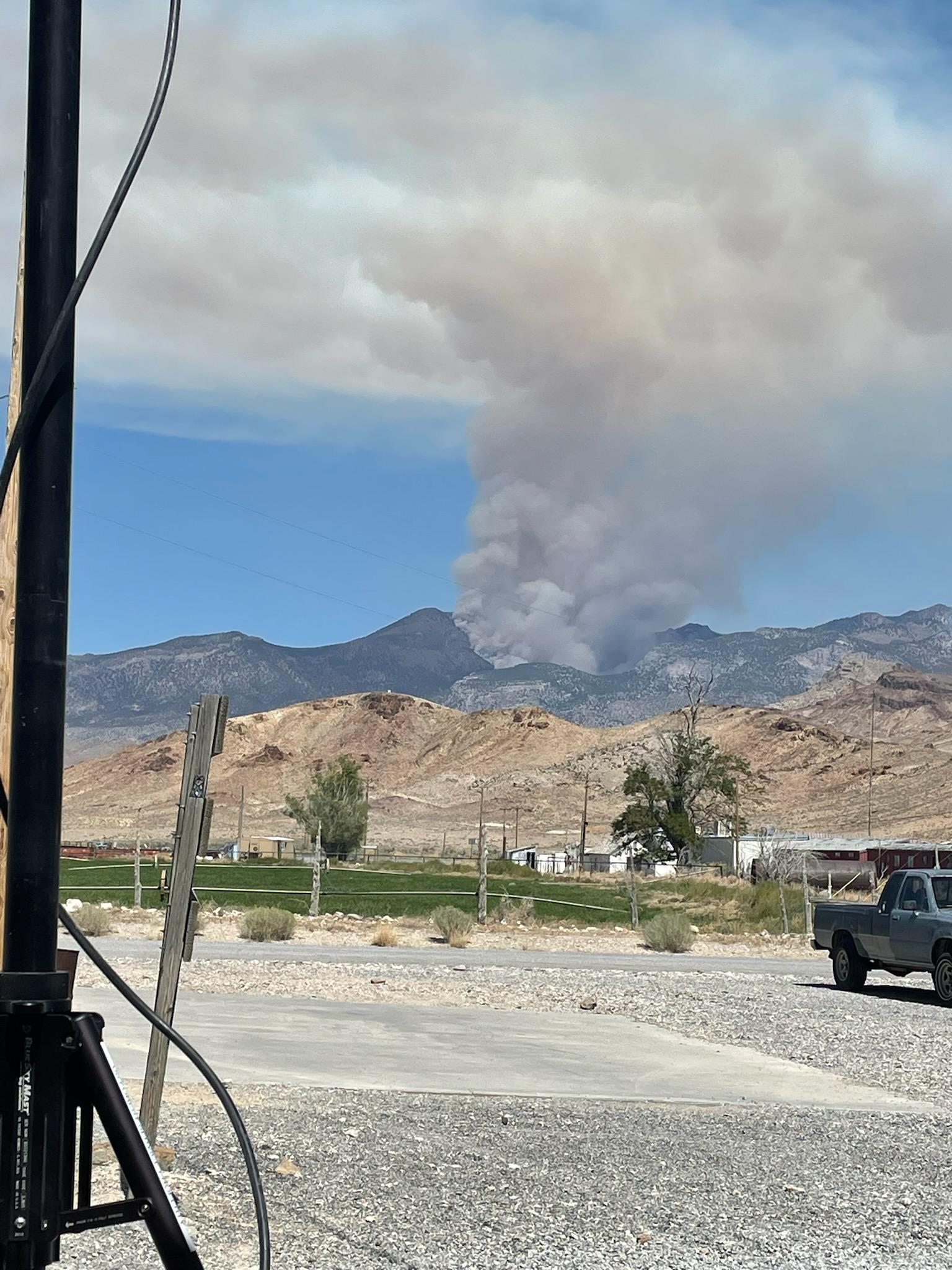
Whenever the Broom Canyon Fire behavior increases it creates a large column of smoke that fills the sky.
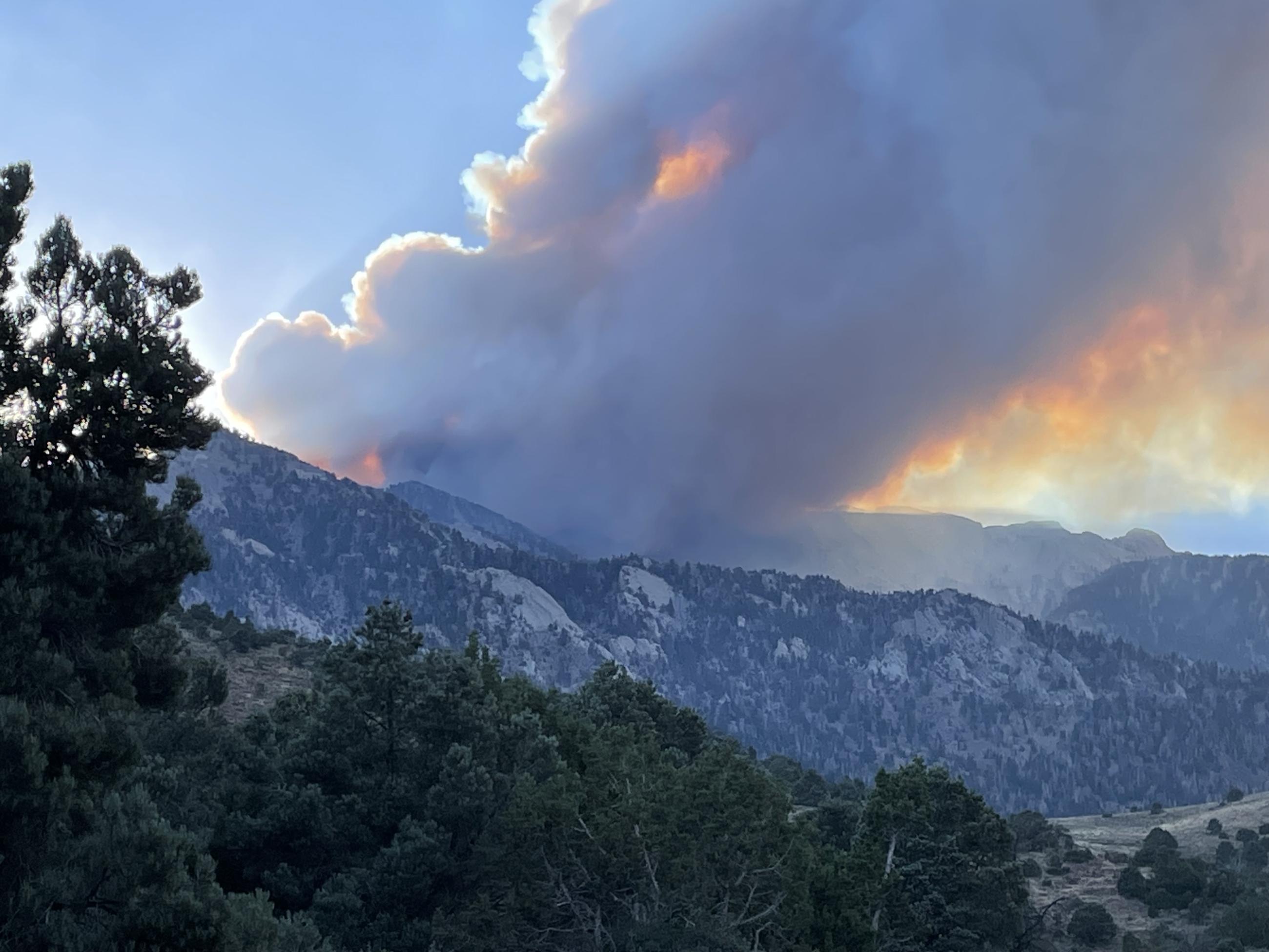
Large smoke column photographed from the east side of the Currant Mountain Wilderness
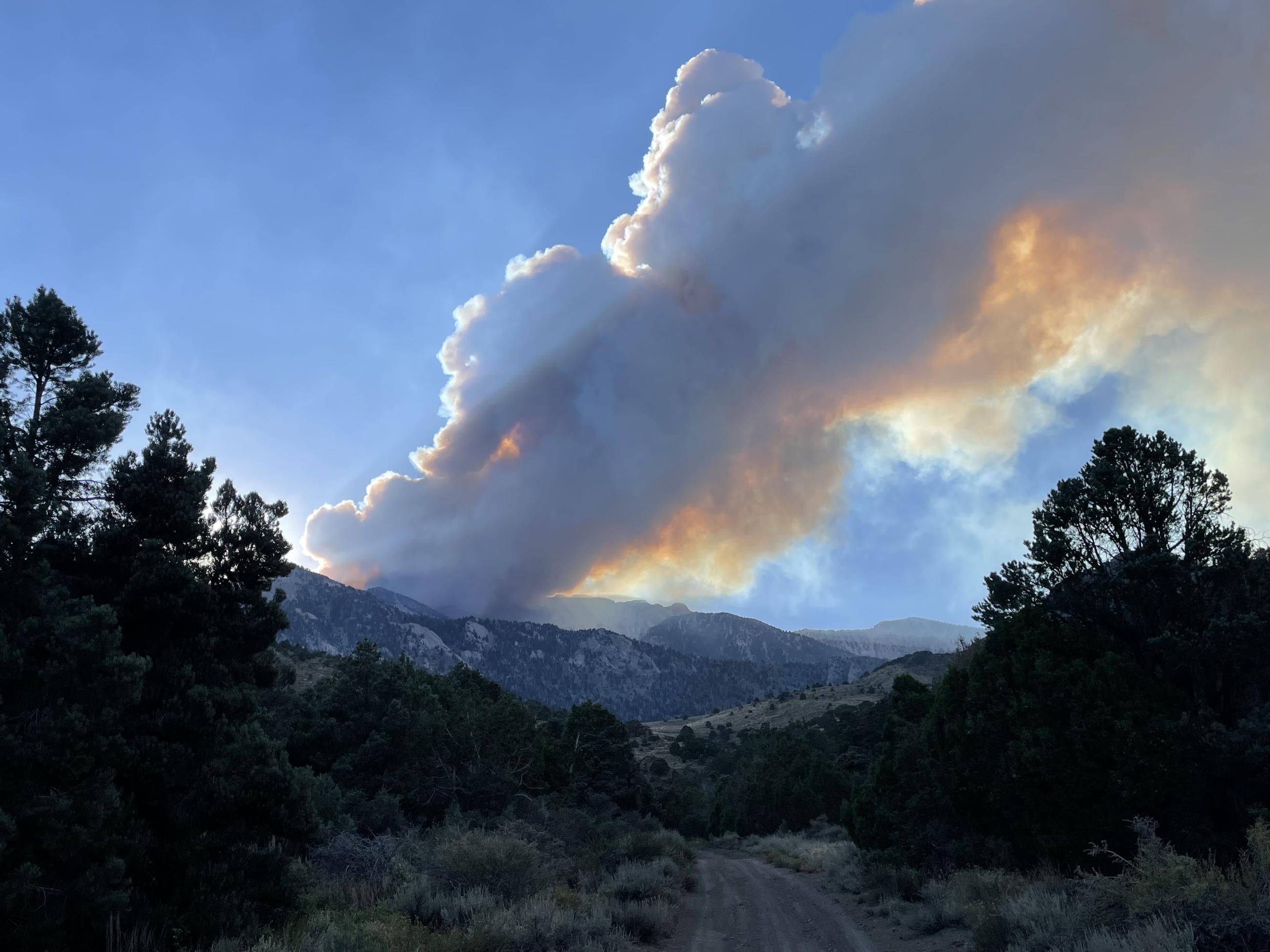
Large smoke column photographed from the east side of the Currant Mountain Wilderness.
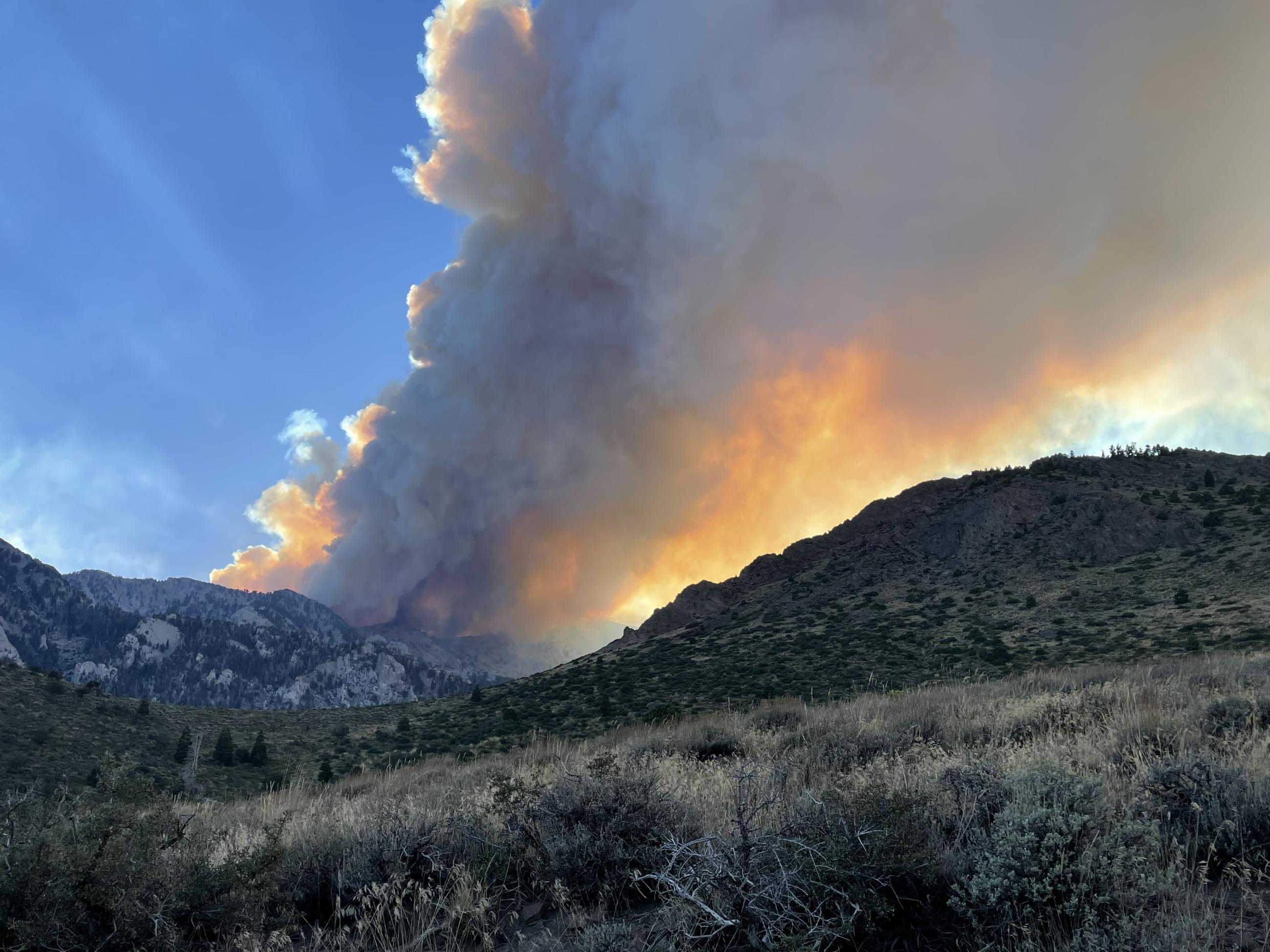
On Wed., Aug 21, an increase in fire activity on the Broom Canyon Fire produced a large column of smoke highly visible from southern Nevada and western Utah.
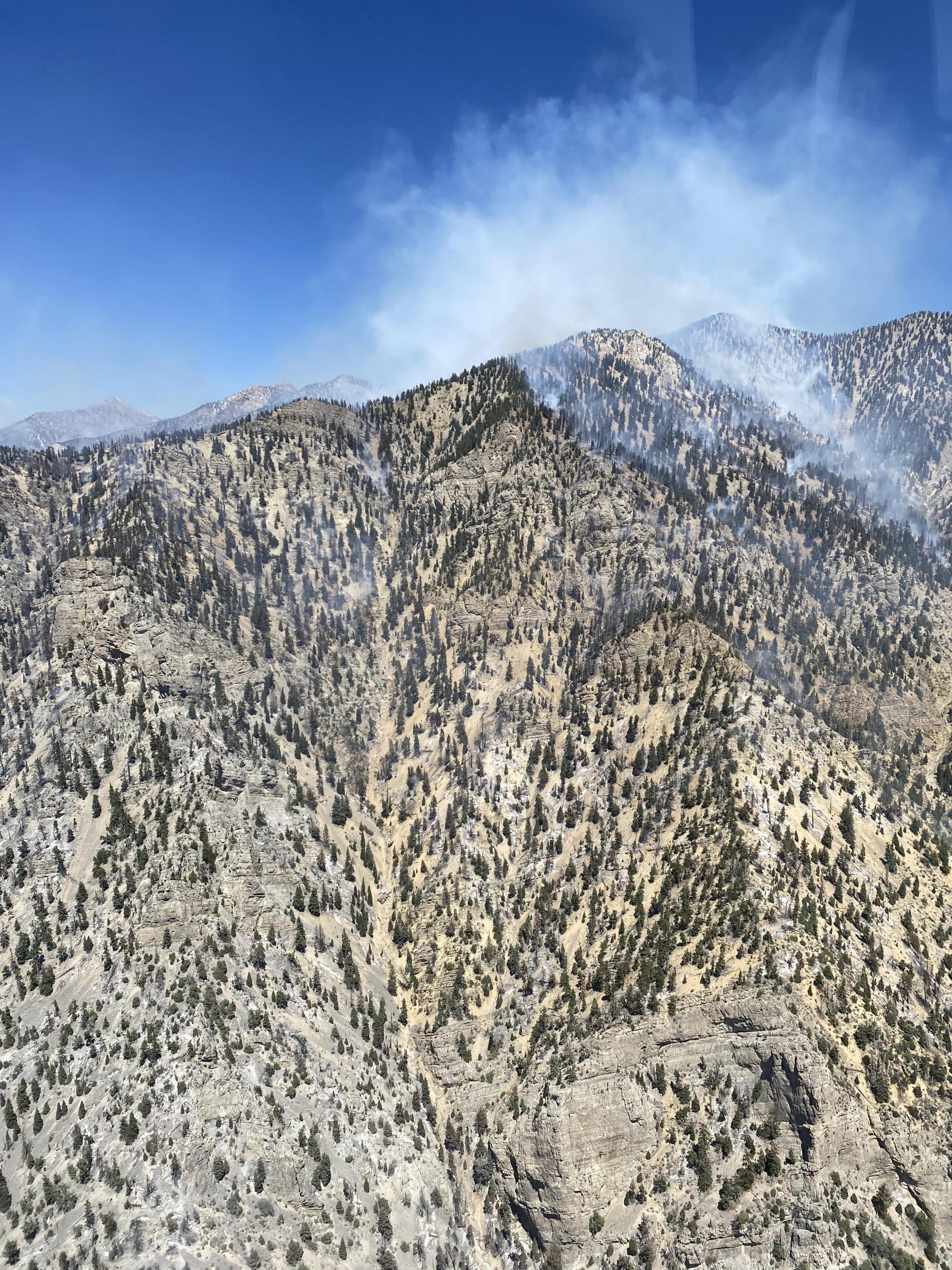
An aerial photo of the top of the very steep and rugged Currant Mountain where smoke is being produced by the Broom Canyon Fire.
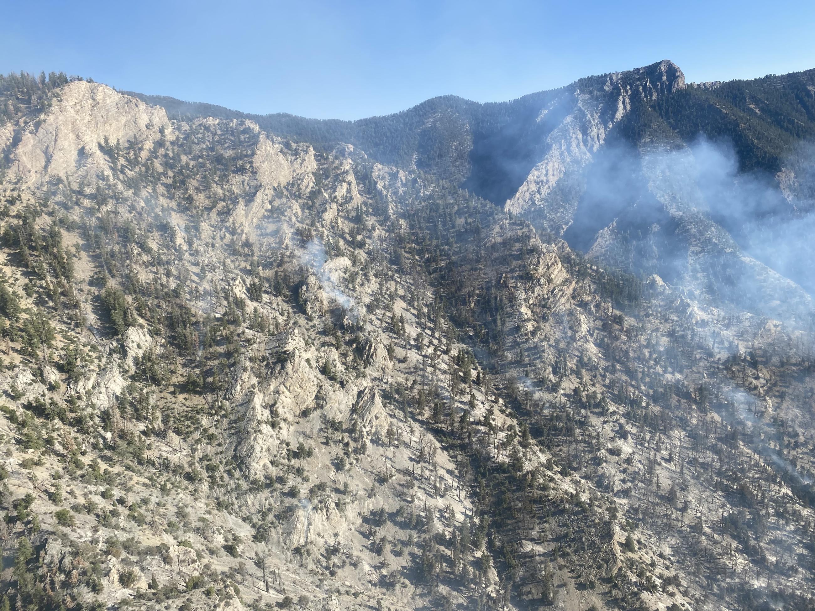
The Broom Canyon Fire located nine miles east of Duckwater or 60 miles southwest of Ely, Nevada, continues to burn in steep, rugged, and inaccessible terrain, on Currant Mountain within the Currant Mountain Wilderness.
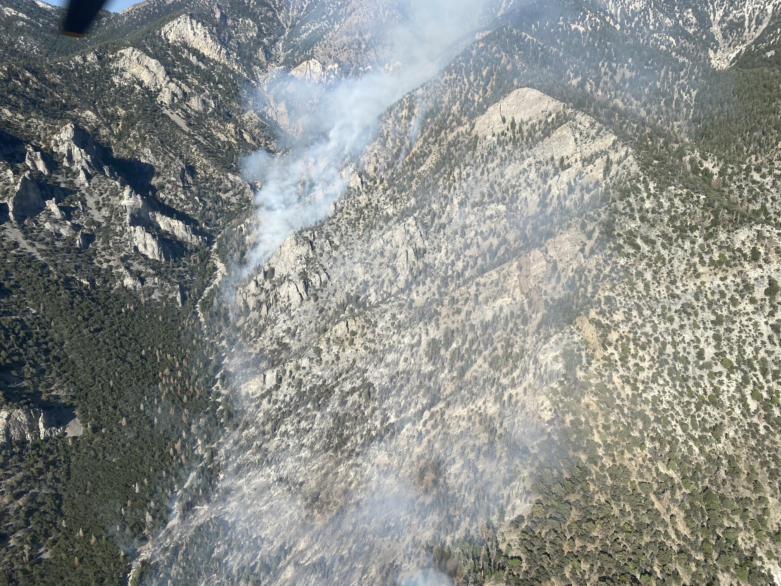
An aerial photo of smoke from the Broom Canyon Fire where small interior pockets of vegetation are burning.
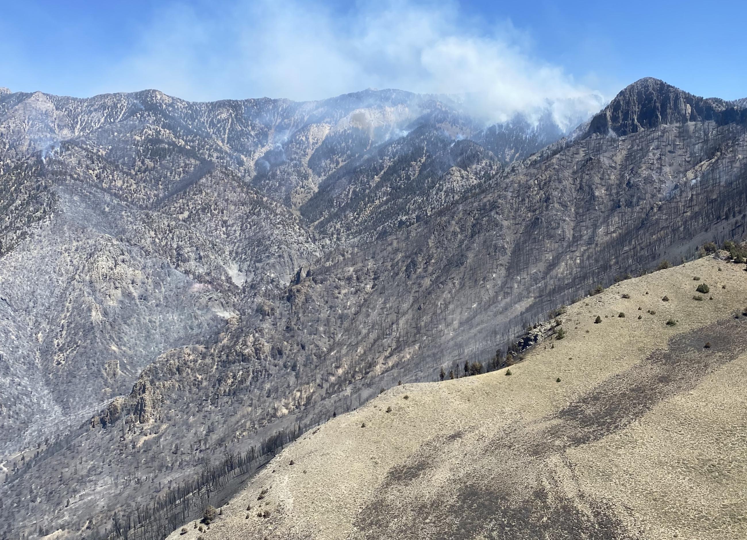
This lightning-caused fire is currently located in an area where firefighter safety mitigations cannot be achieved therefore fire suppression actions are not being taken. The Ely Ranger District is managing the Broom Canyon Fire under a confine and contain strategy. A planning boundary has been established for areas which provide safe opportunities for suppression actions.
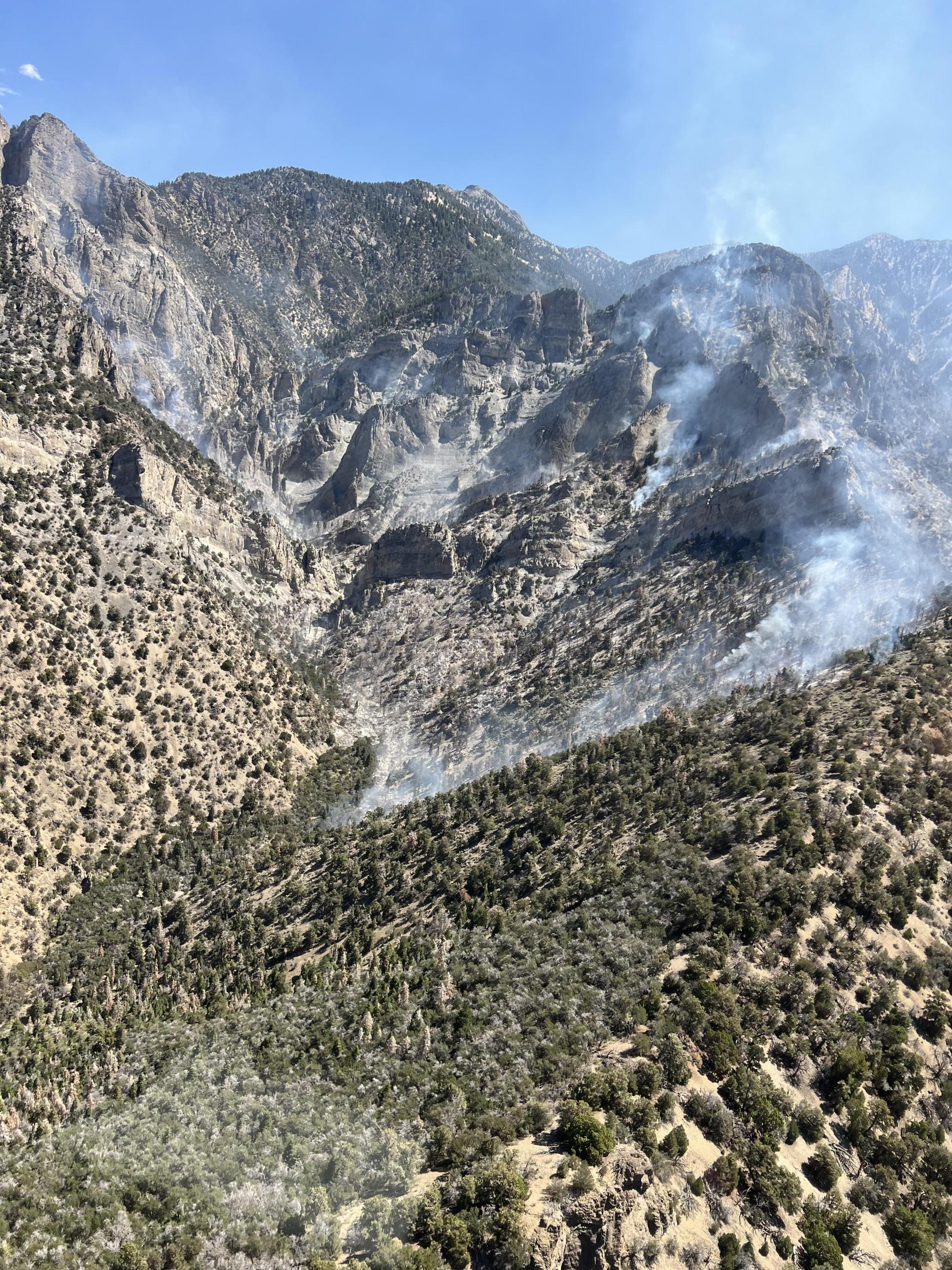
An aerial photo of the smoke coming from the top of Currant Mountain where the Broom Canyon Fire is burning.
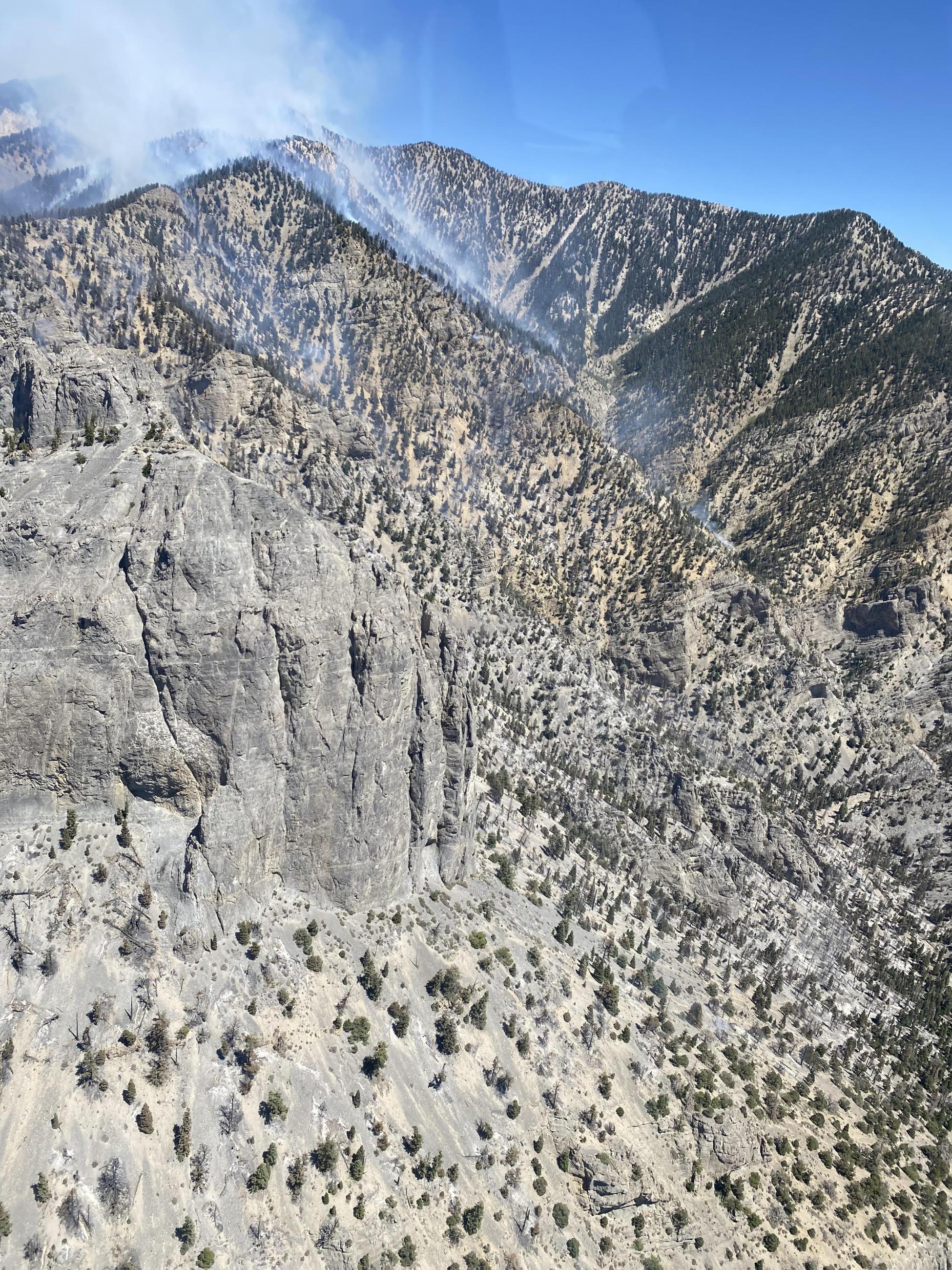
An aerial photo that shows the steep and rugged incline of Currant Mountain and the high-elevation area the Broom Canyon Fire is burning at.

 InciWeb