
Incident Media Photographs
Could not determine your location.
 Wildfire
 Prescribed Fire
 Burned Area
Response
Burned Area
Response Other
Other
South Fork and Salt Fires Burned Area Emergency Response
Unit Information
Agency Name: Bureau of Indian Affairs
Agency Name: Bureau of Indian Affairs
Incident Contacts
- Elaina LaPaz, Mescalero Apache Tribe PIO
- Amanda Fry, Lincoln National Forest PAOEmail:
Photographs Gallery
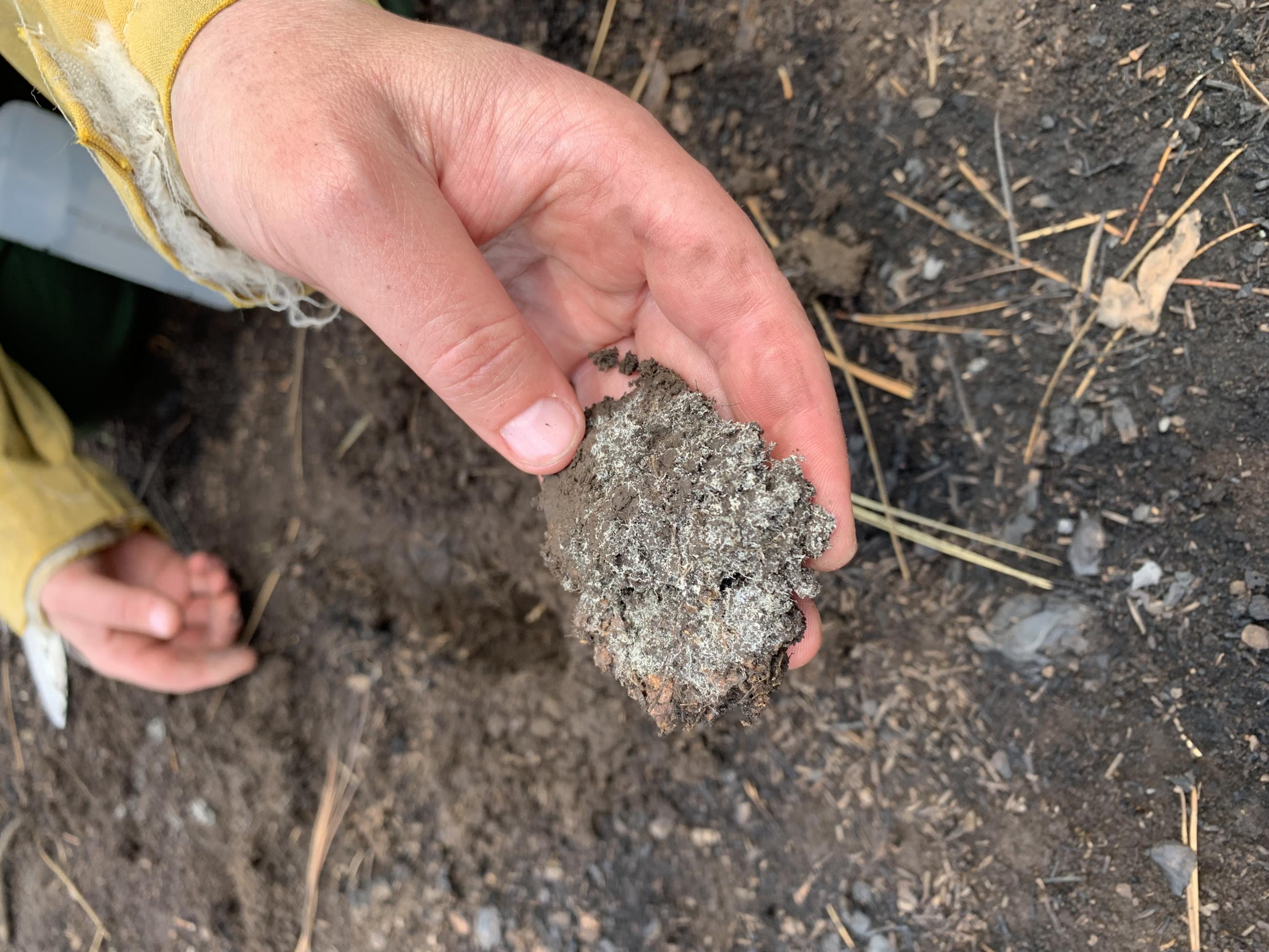
Mycorrhizal Fungi (unburned fungus roots) Found Under Burned Soil in South Fork Fire Area
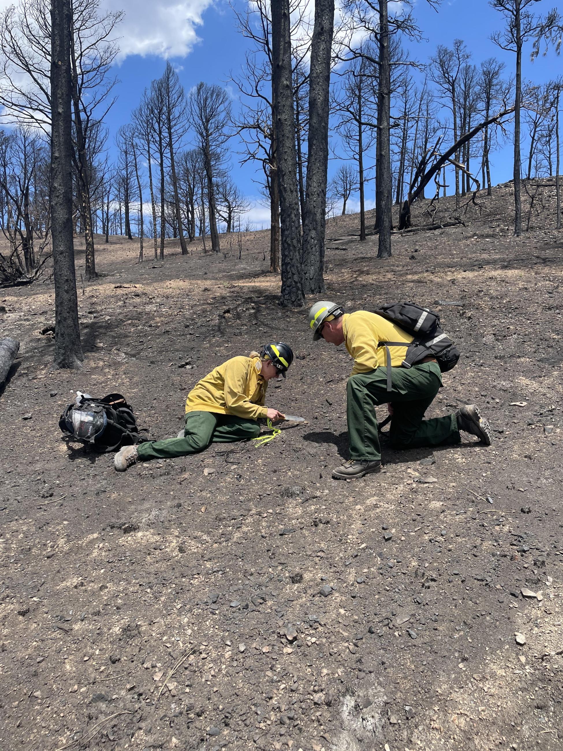
Burned Area Emergency Response (BAER) Soil Scientists evaluating soil burn severity in the South Fork Burned Area
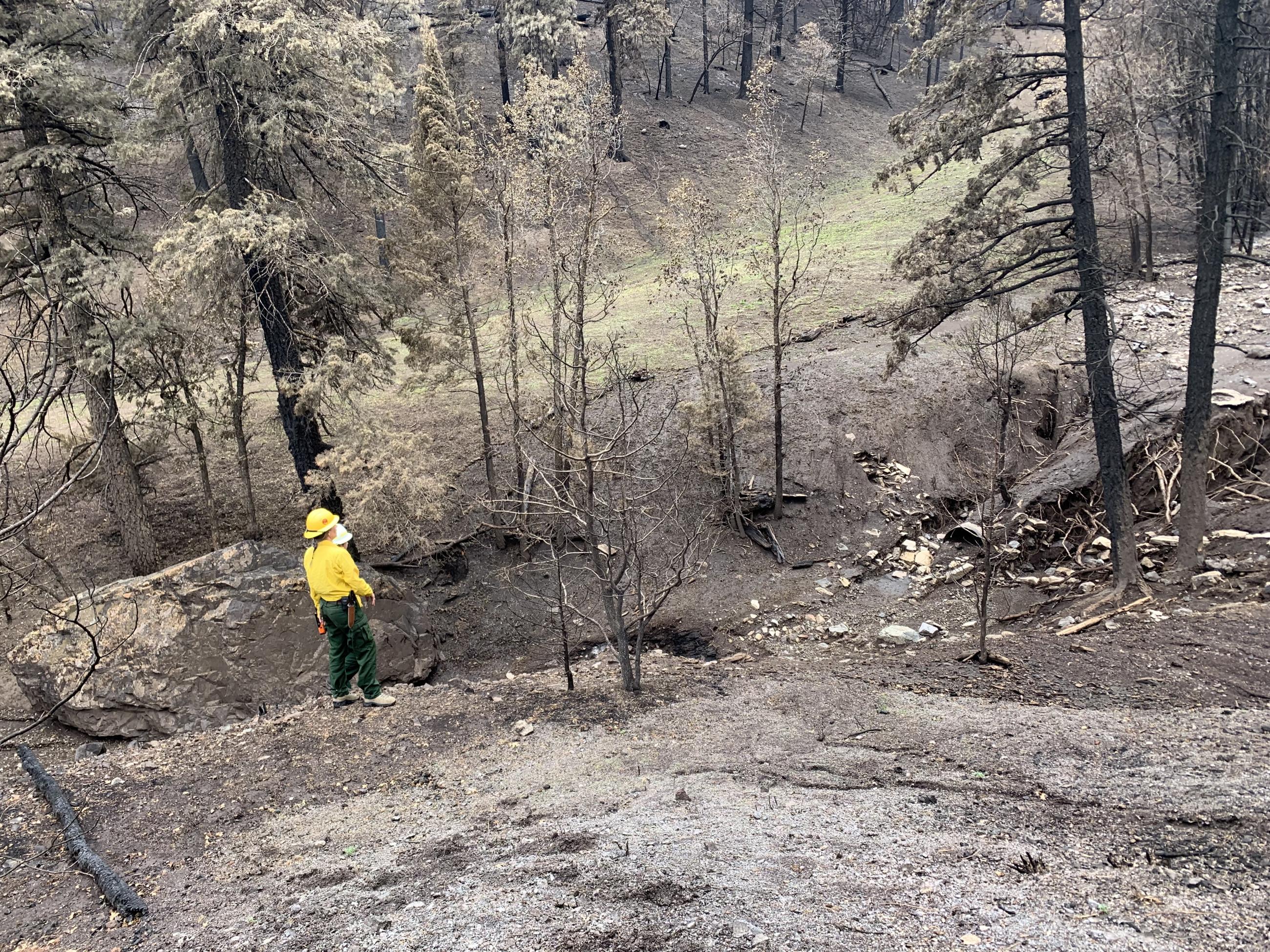
BAER Hydrologists Examine Channel Conditions in South Fork Burned Area
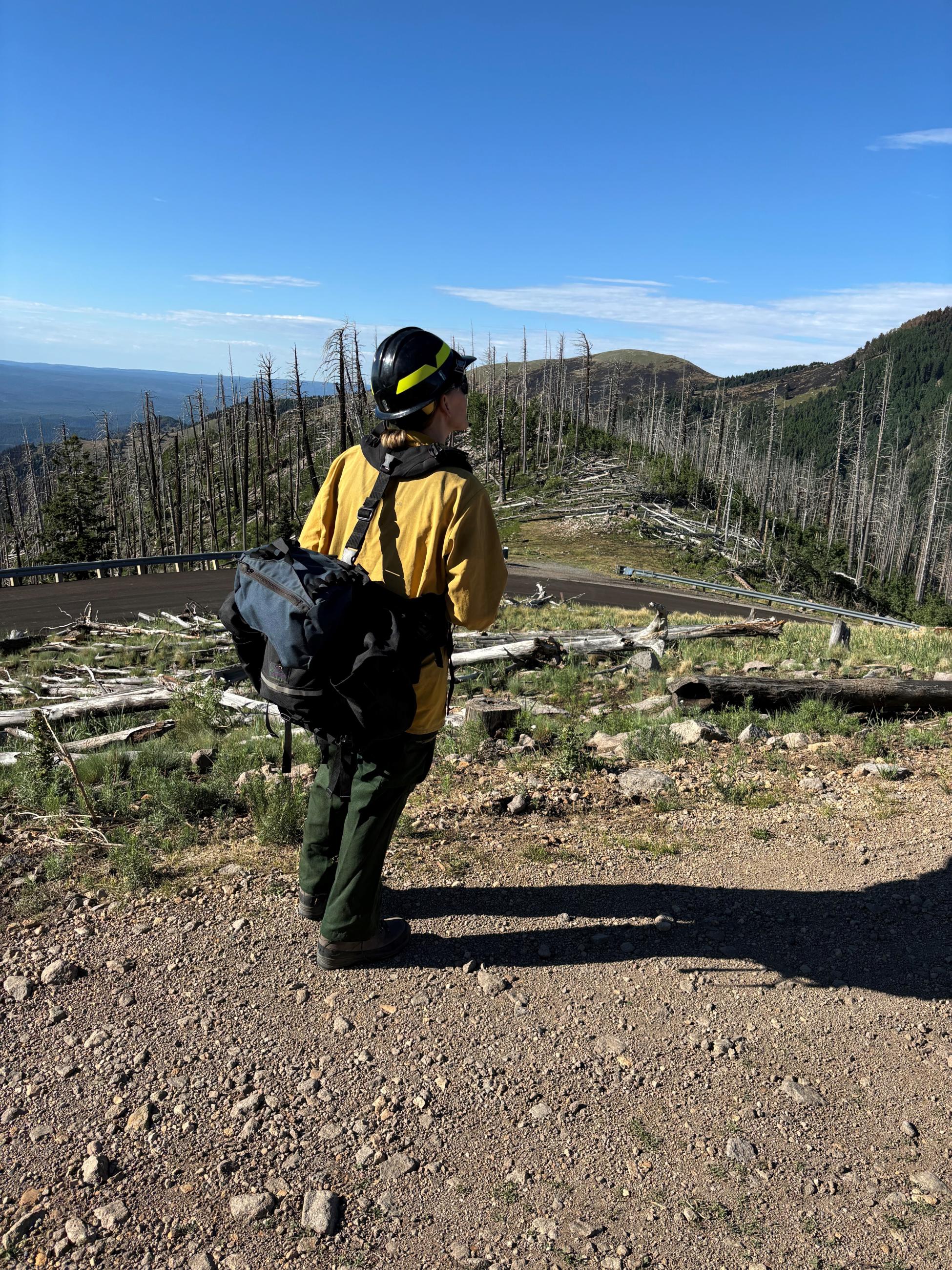
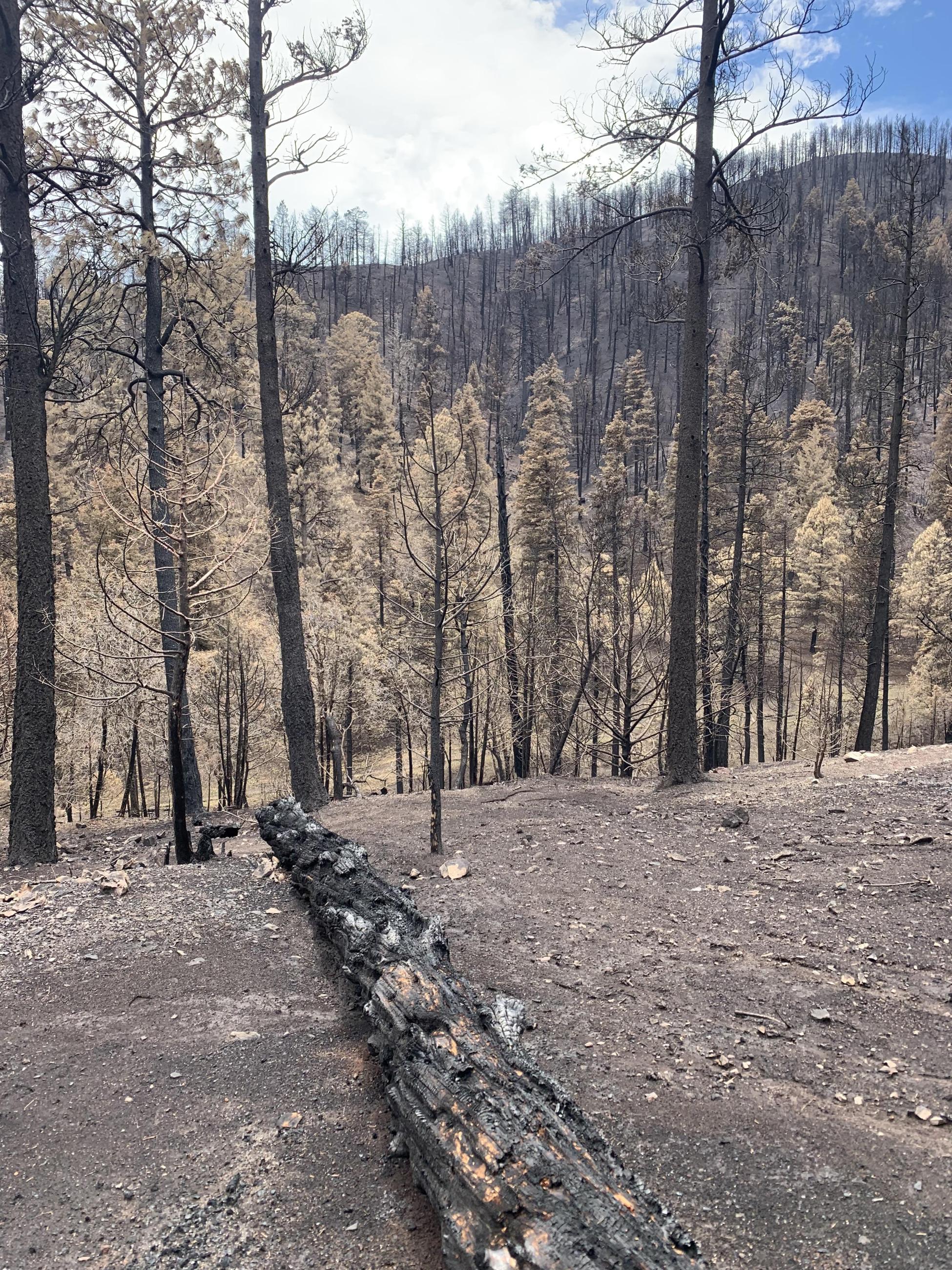
BAER Soil Scientist viewing soil burn severity conditions from vantage point in the South Fork burned area
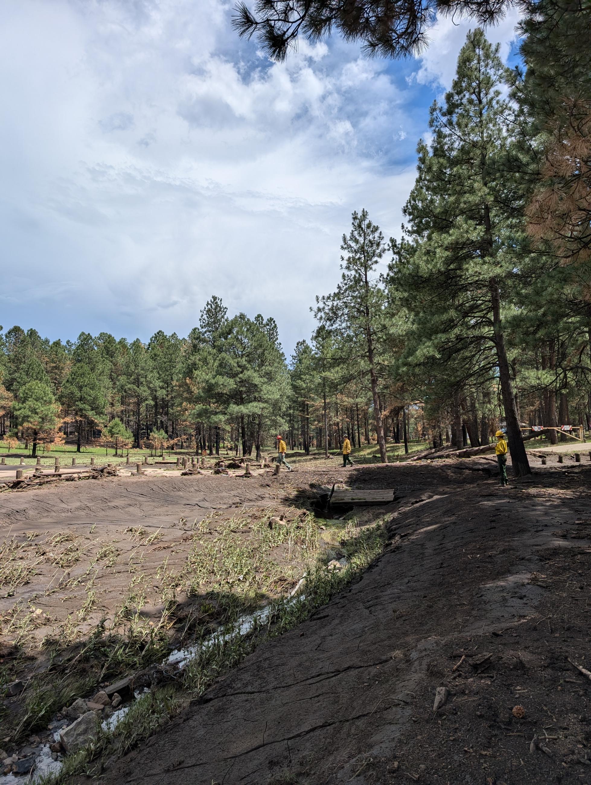
BAER Hydrologist and Recreation Specialists Evaluating burned recreation site in the South Fork burned area
View of Debris Flow in Cedar Creek
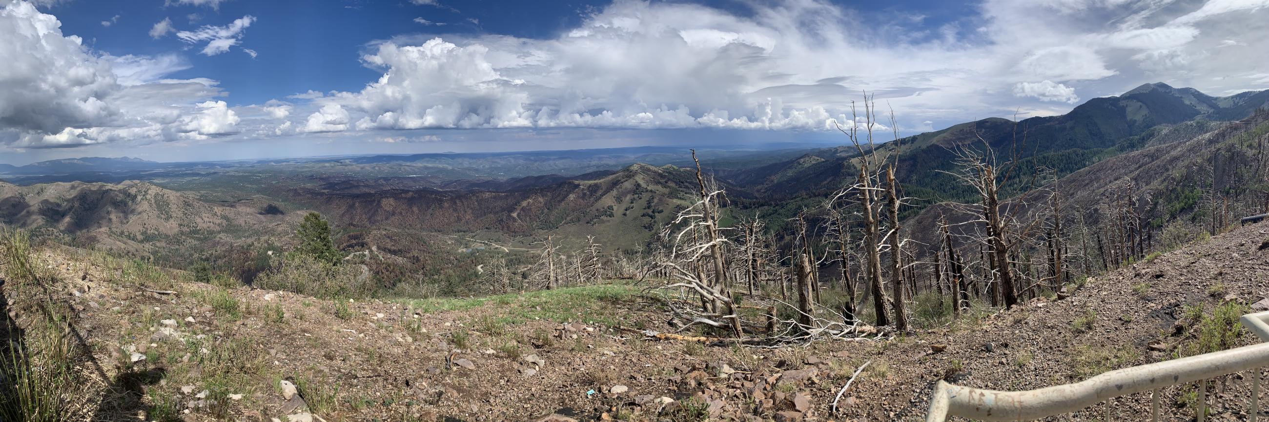
Overview of from the Top of Eagle Canyon in the South Fork Burned Area
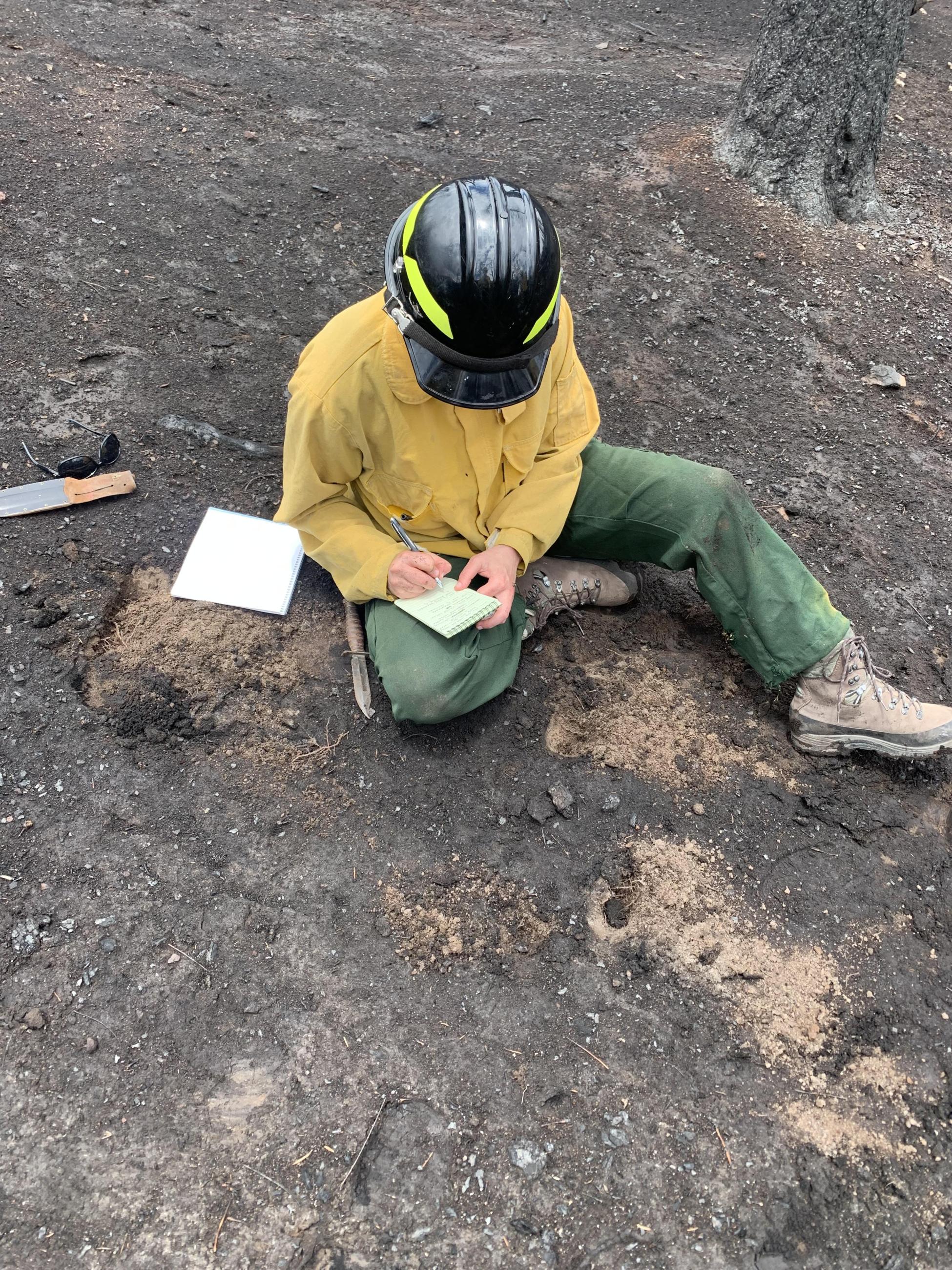
BAER Soil Scientist recording field notes for soil burn severity in the South Fork burned area
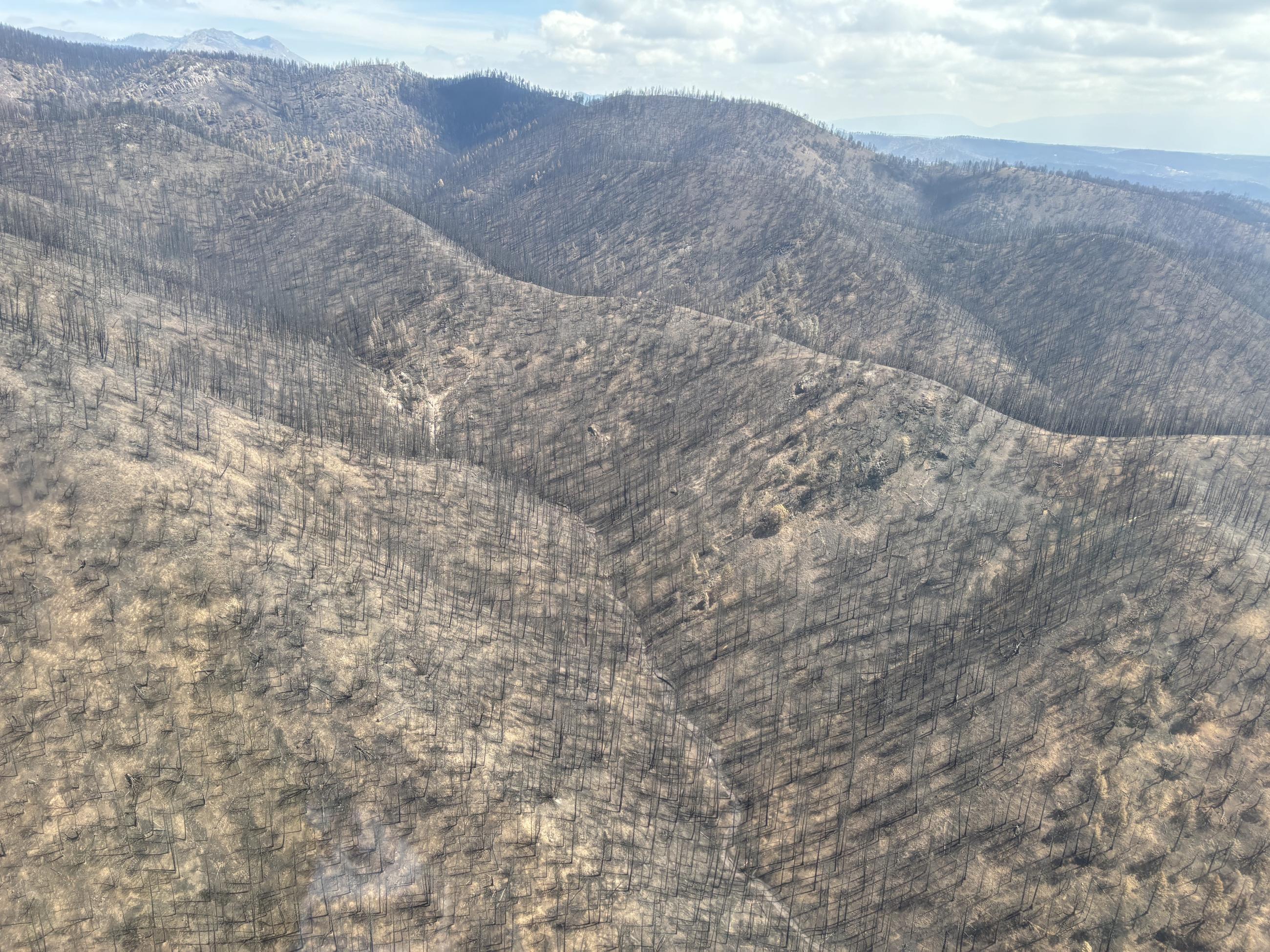
Mosaic Soil Burn Severity in Cedar Creek on the South Fork burned area
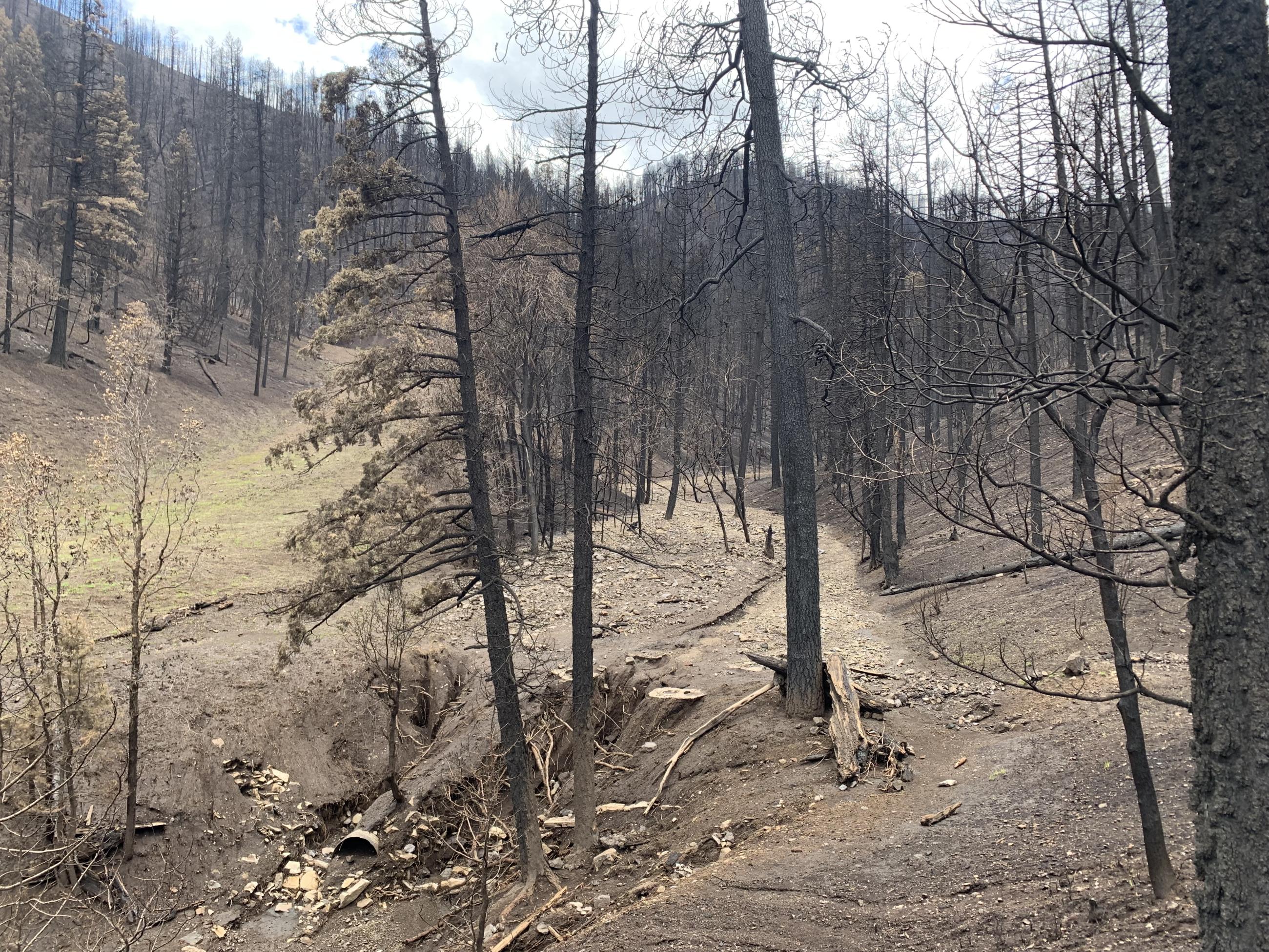
View of South Fork Post-Fire Slope Rilling Conditions in Perk Canyon
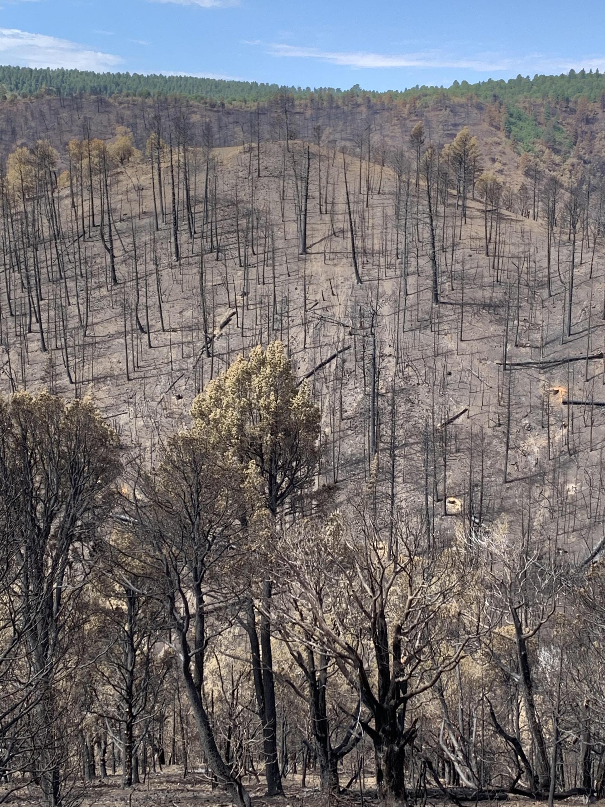
Overview of Soil Burn Severity in the South Fork Drainage
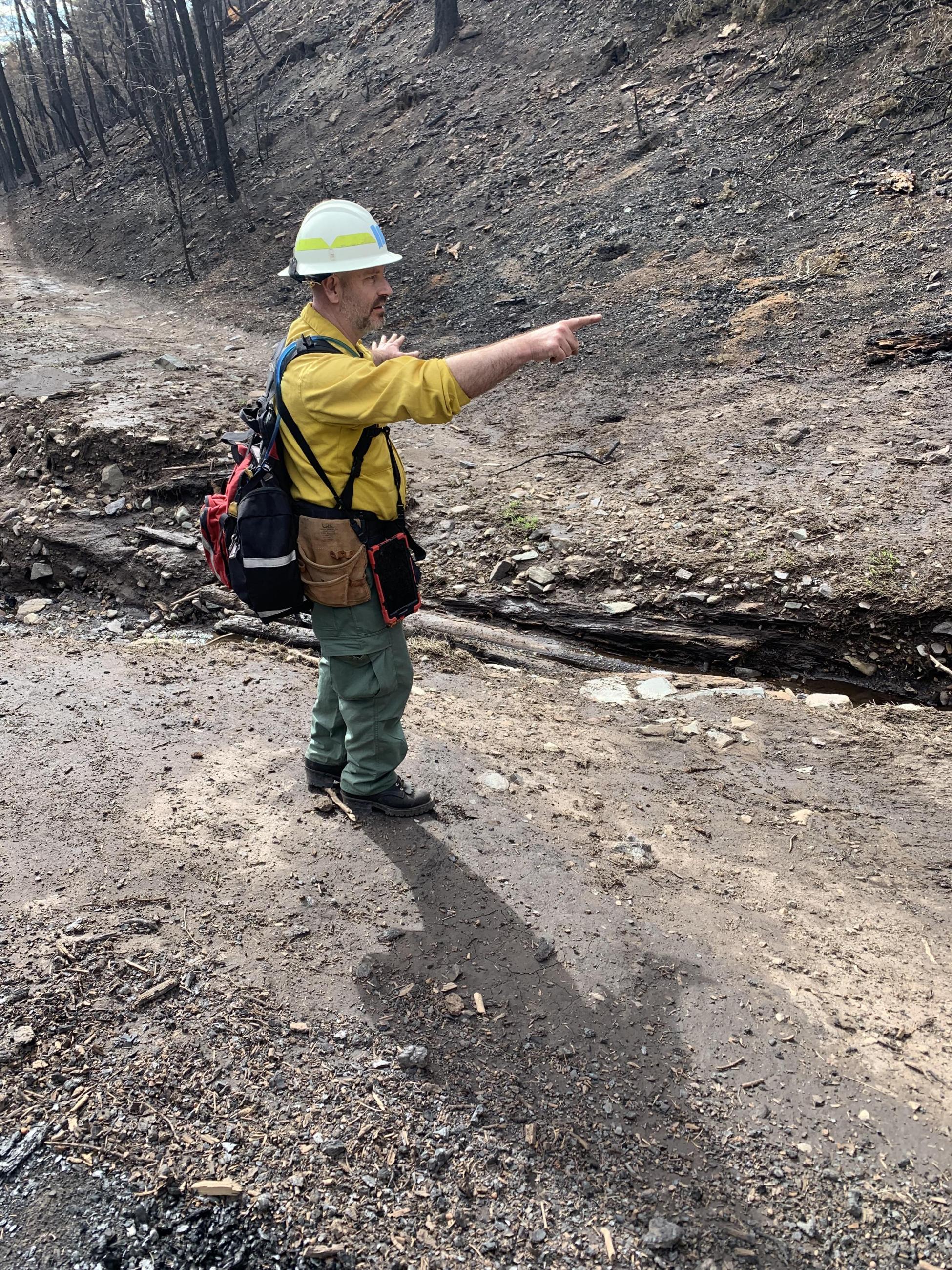
BAER Hydrologists Evaluate and Discuss Downcut in Channel