Incident Media Photographs
Could not determine your location.
North Camas Fire
Unit Information
Incident Contacts
- Gina KerzmanPhone:406-888-5838
Photographs Gallery
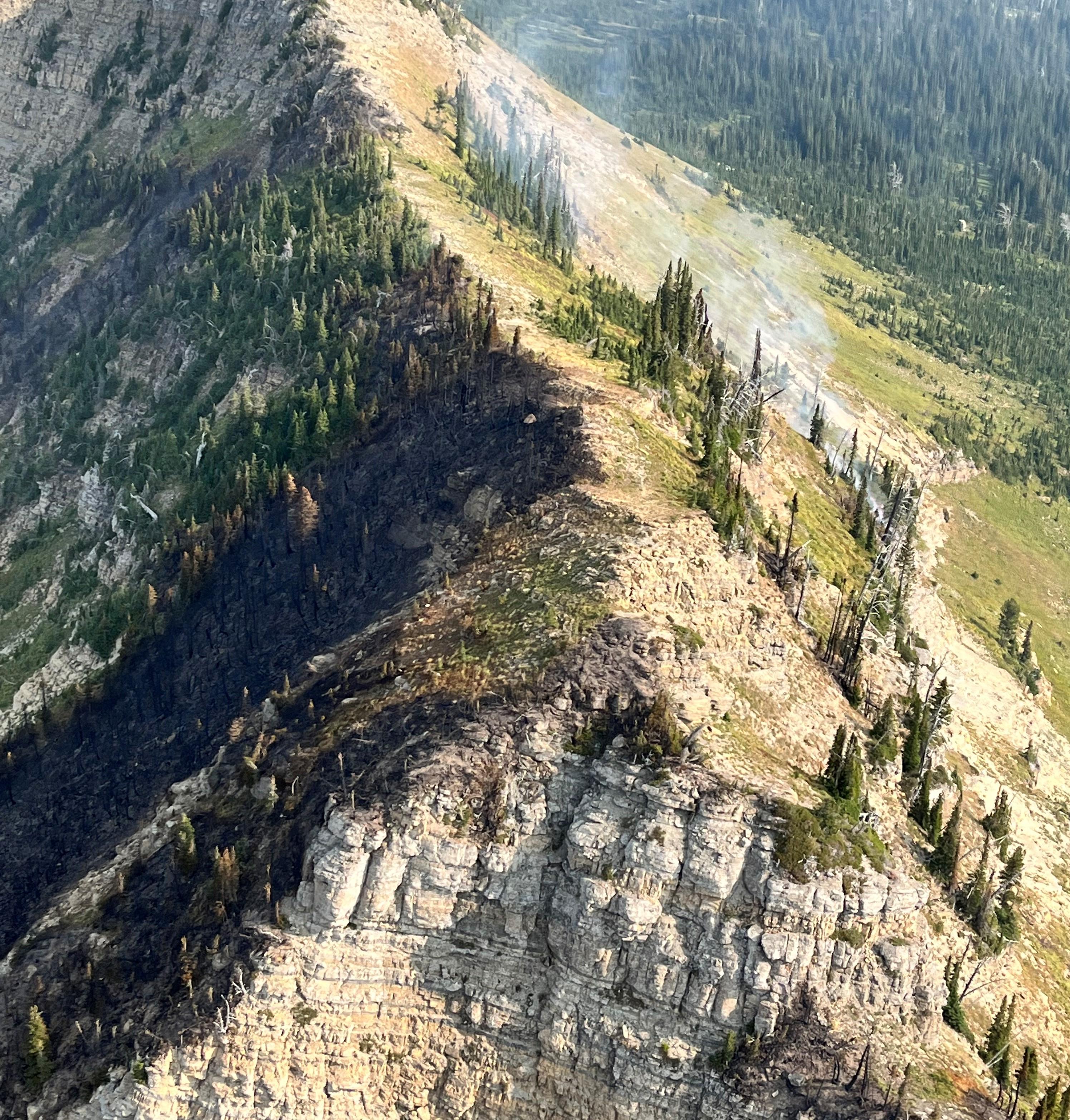
The North Camas Fire is largely burning in the Camas Creek drainage, with a few small spots burning on the east side of the ridge.
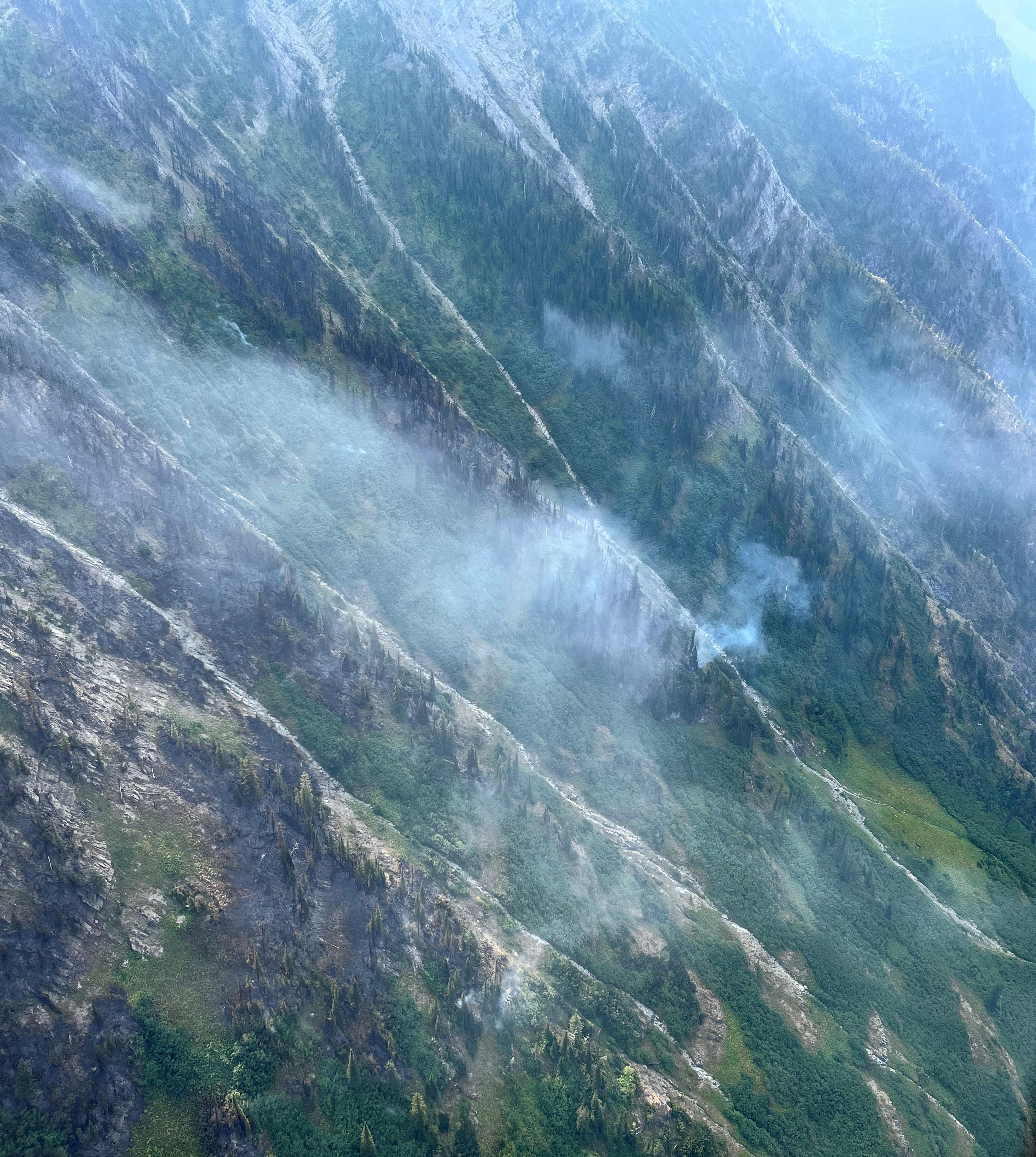
Aerial view of the North Camas Fire burning a patchwork area on the steep slopes above Camas Creek.
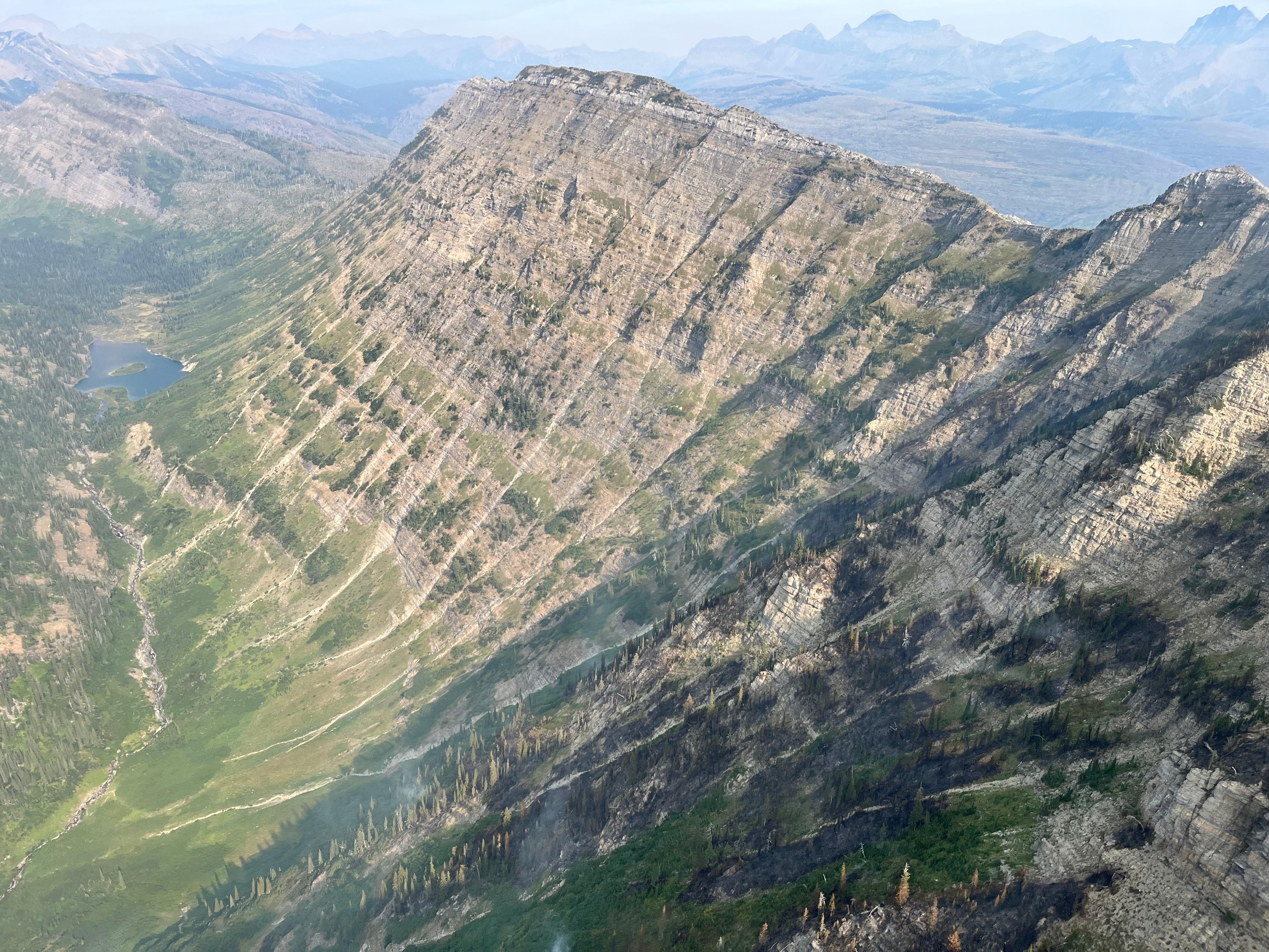
The North Camas Fire burning a mosaic pattern in sparse trees. View looking north past Camas Lake.
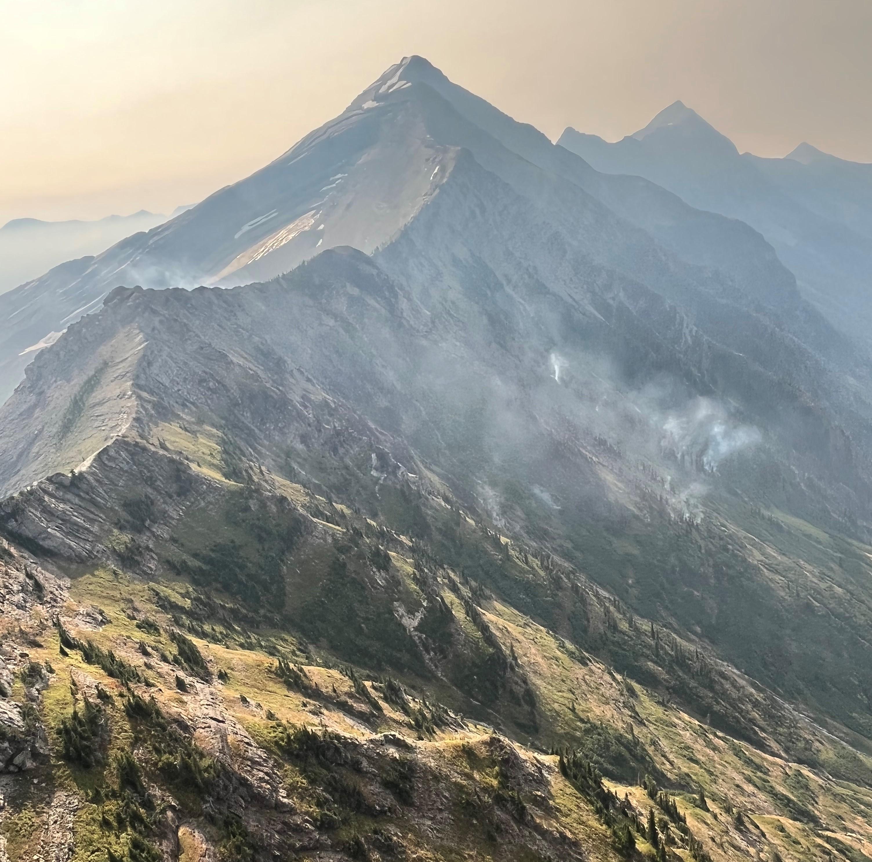
Wisps of smoke from the North Camas Fire with Heavens Peak in the background.
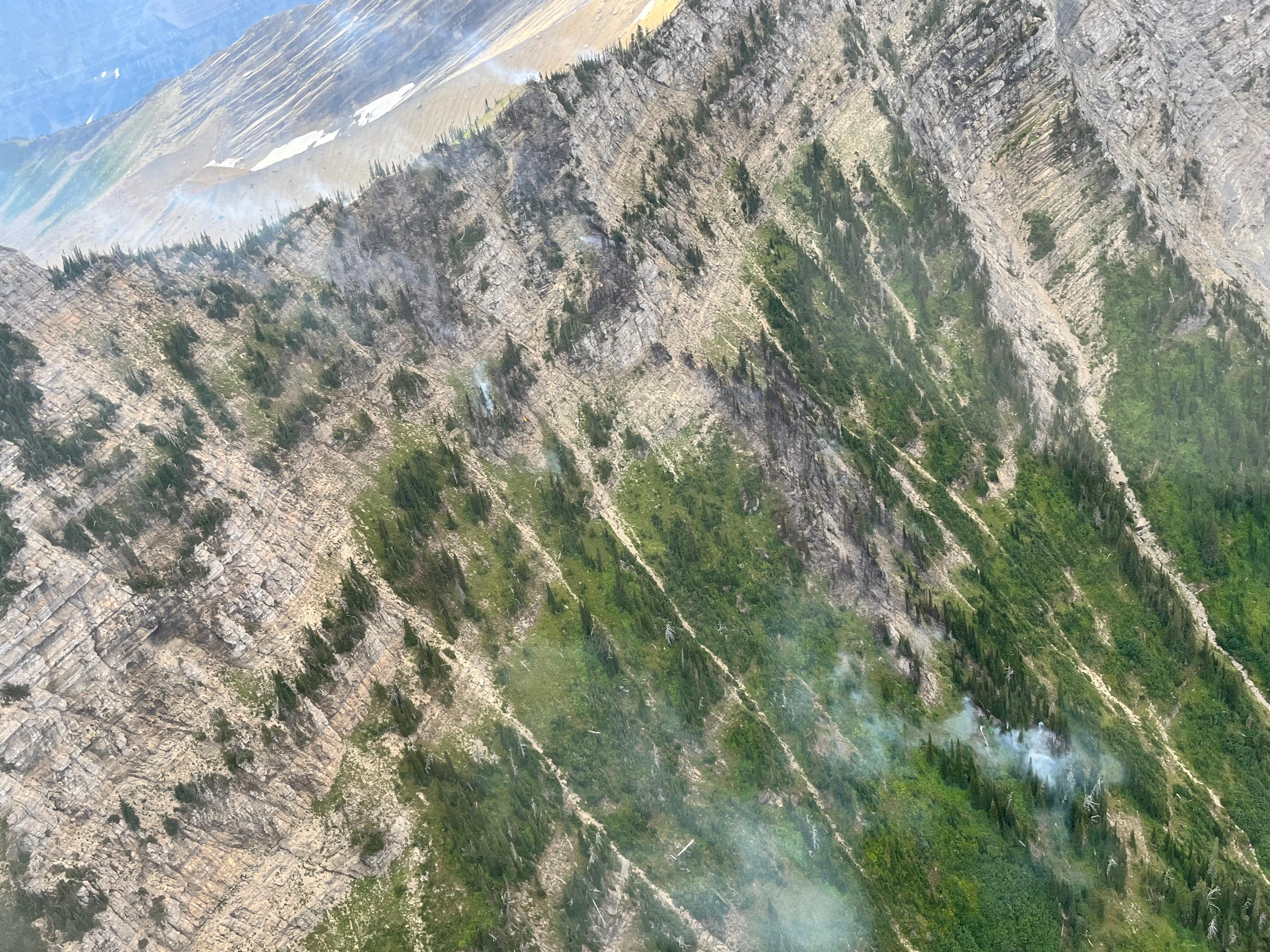
Smoke rises from the steep upper slopes of the Camas Creek drainage, where the North Camas Fire is burning in sparse fuels.
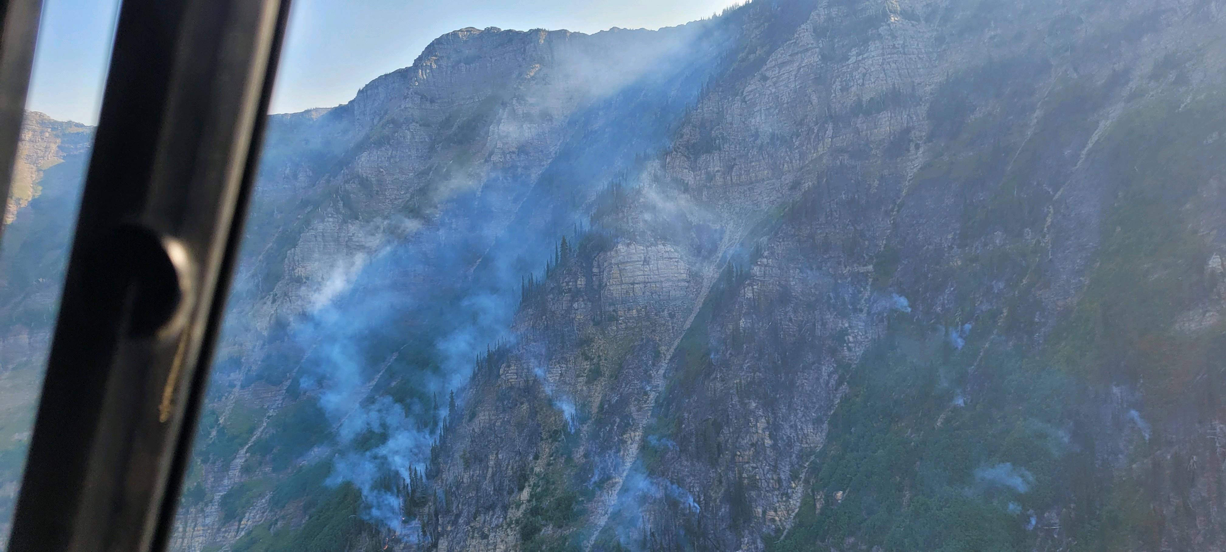
Aerial view of the North Camas Fire on Sept 7. The fire is burning on the steep, sparsely treed slopes below Heavens Peak.
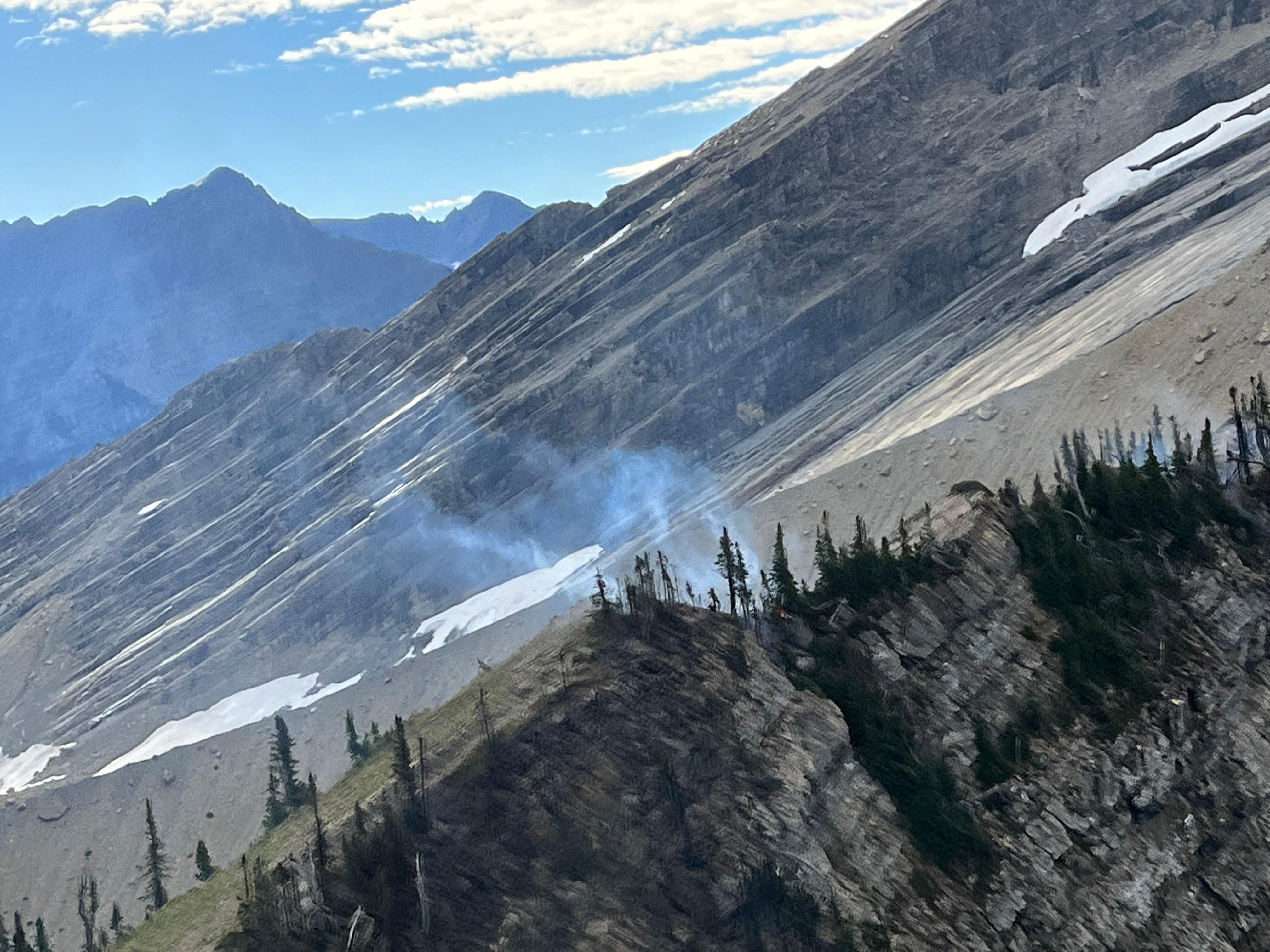
Wisps of smoke rise from the North Camas Fire where it is burning along the ridge north of Heavens Peak, whose slopes are visible in the background.
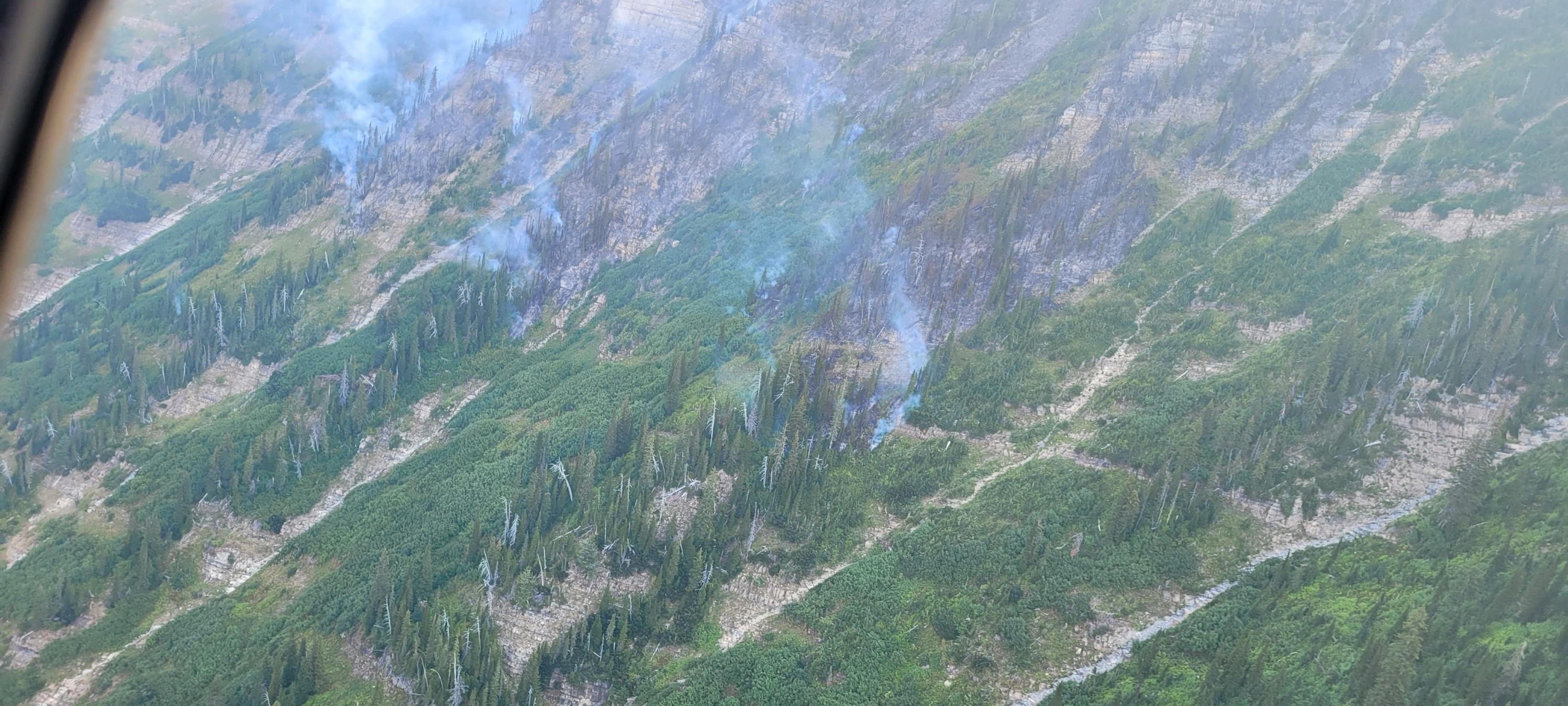
The North Camas Fire smolders in steep terrain below Heavens Peak.
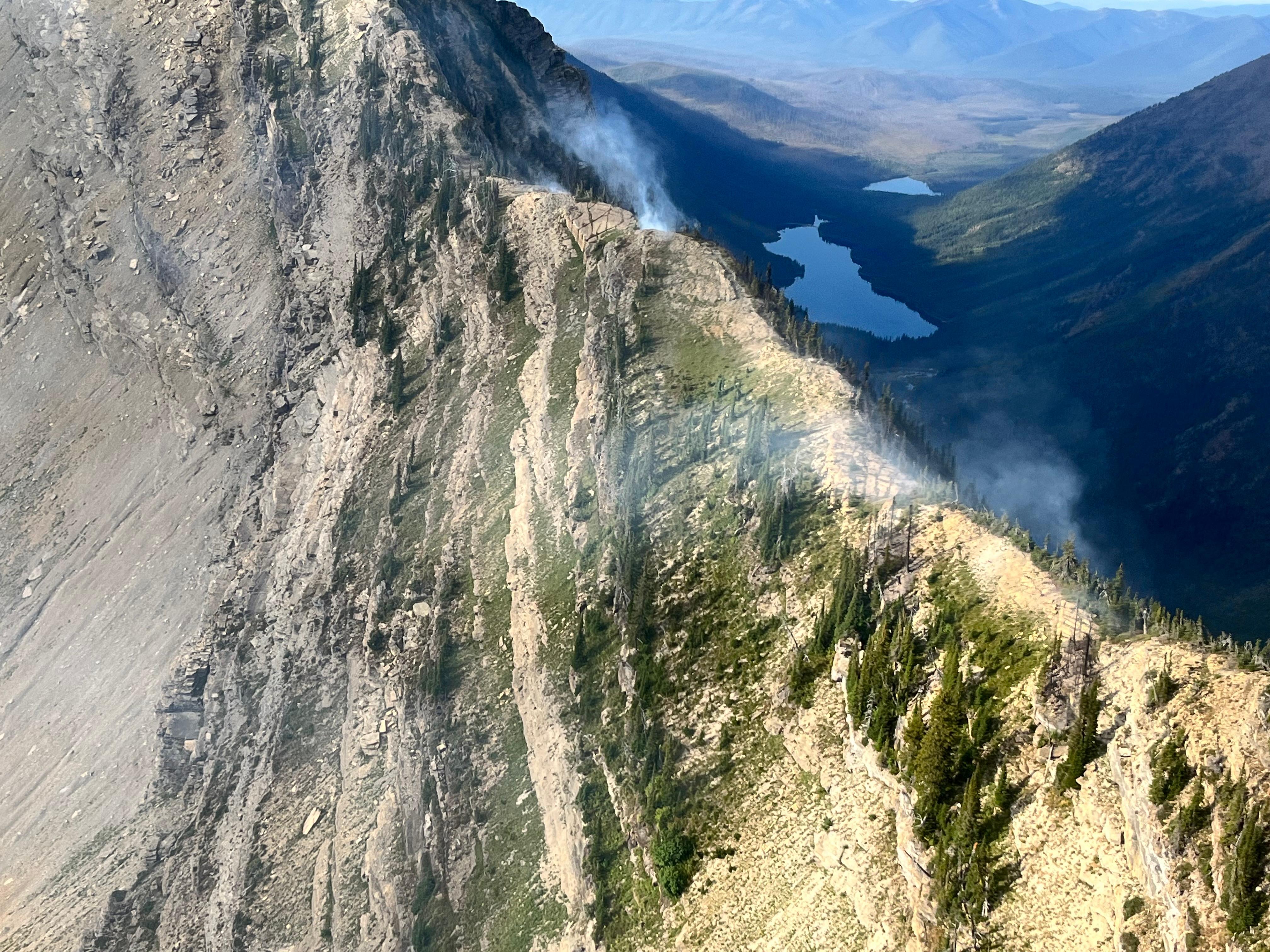
Aerial view of North Camas Fire on Sept. 5. Trout and Rogers Lakes are visible in the background.
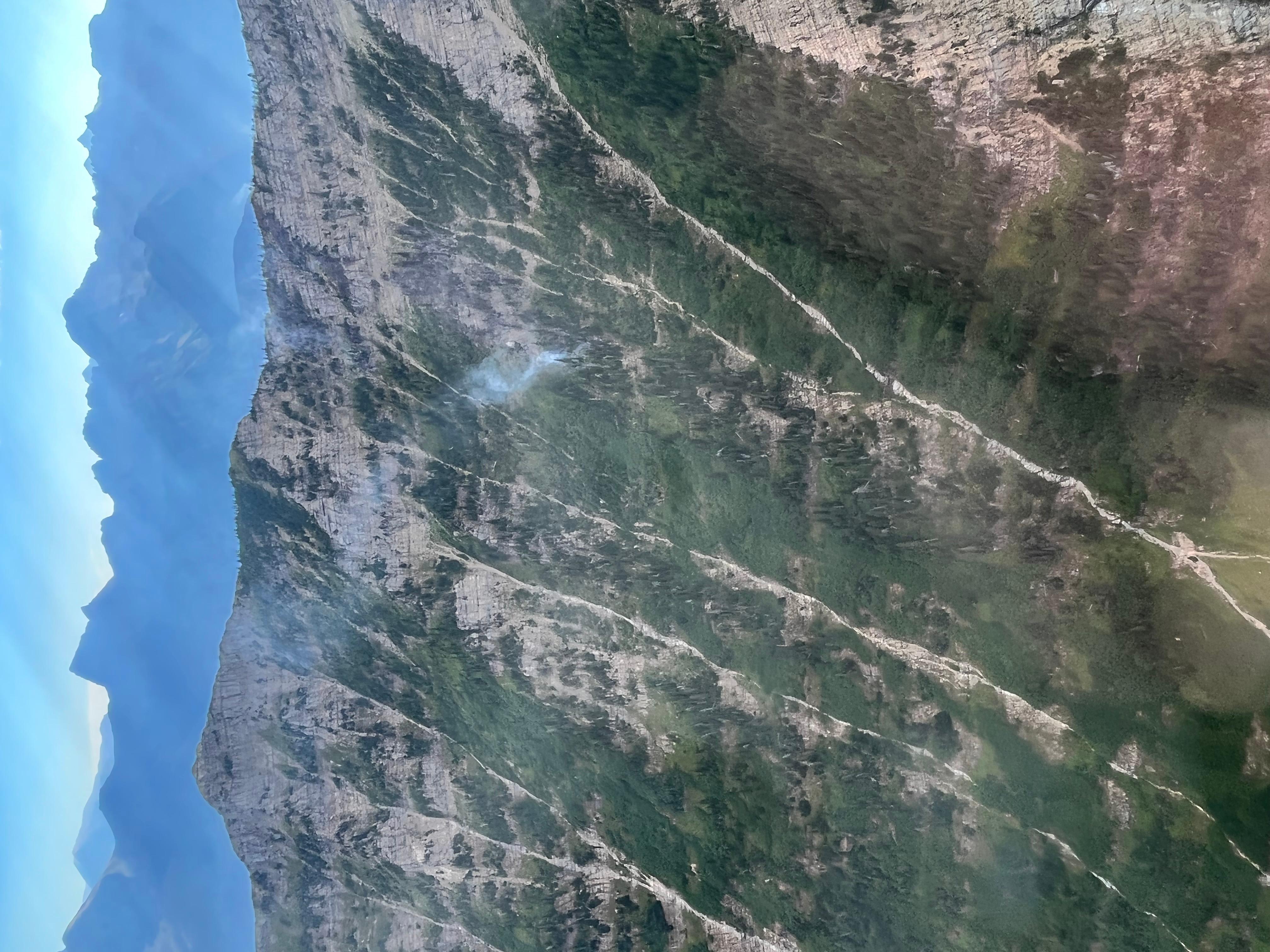
Looking northeast at the North Camas Fire high in the upper part of the Camas Creek drainage. Distant peaks are part of the Continental Divide. (photo autorotated by InciWeb)

 InciWeb