The information on this page will not be updated on a daily basis. Significant updates will be posted as needed.
Previously called the Oakridge Lightning Fires, the Willamette Complex Fires-South include the Chalk, McKinley, Tire Mountain, Moss Mountain, Coffeepot, and 208 Fires. The fires spread from approximately 8 miles north of Oakridge, Oregon to 8 to 22 miles south-southeast of Oakridge in the Willamette National Forest. The 208 Fire is located in the Diamond Peak Wilderness.
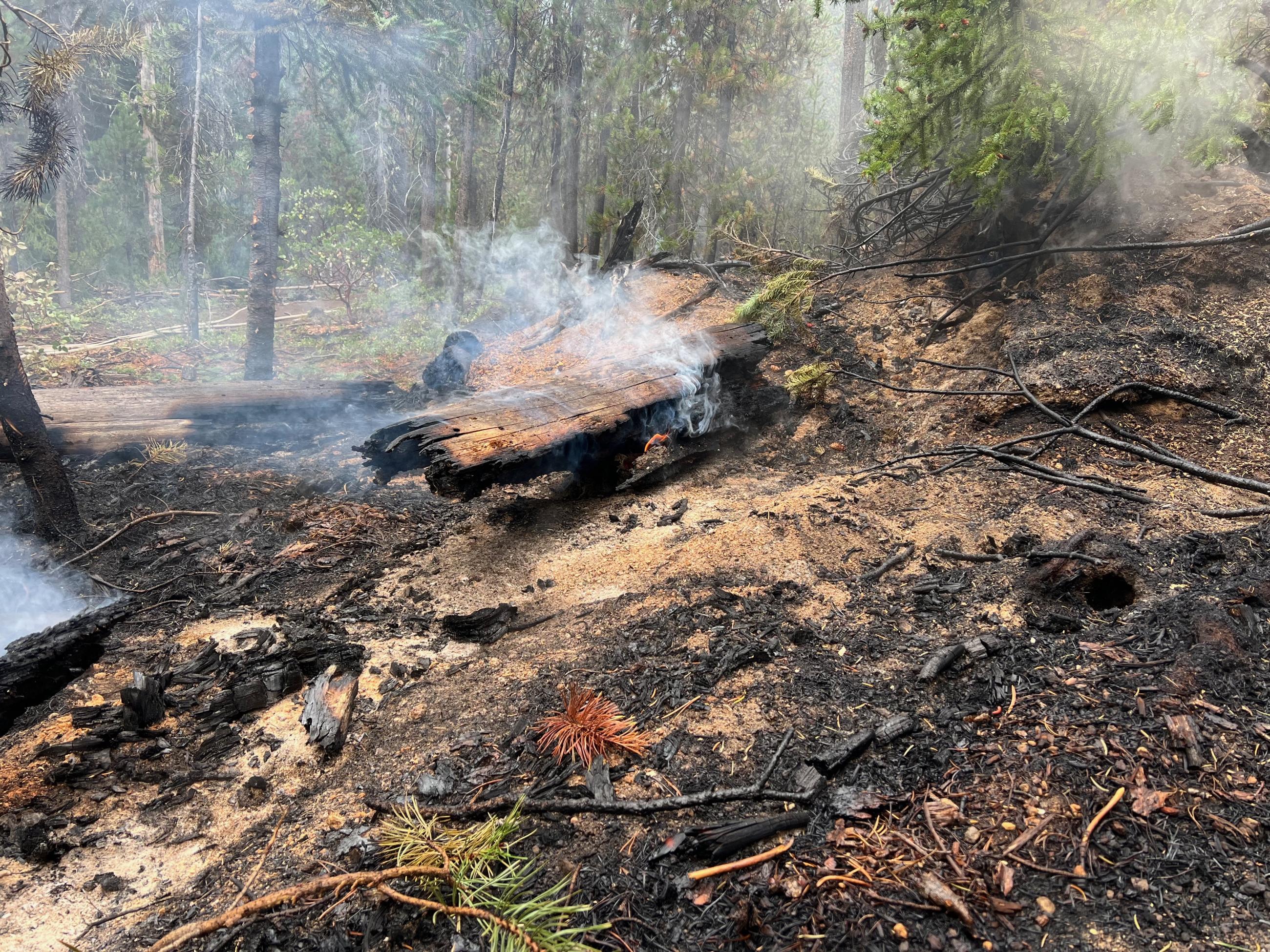
The fires were discovered after an intense lightning storm on July 17 with over 1,100 lightning strikes across Oregon. All of the fires are burning in heavy timber in the Willamette National Forest.
Willamette Complex Fires South Summary
Young Grasshopper (5,228 acres, 0% contained)
Chalk Fire (6,015 acres, 100% contained)
Coffeepot Fire (6,203 acres, 100% contained)
Moss Mountain Fire (2,814, acres, 10% contained)
208 Fire (11,201 acres, 4% contained) (this includes the 38-acre 217 Fire now part of 208)
Tire Mountain Fire (23 acres, 100% contained)
McKinley Fire (24 acres, 100% contained)
| Current as of | Mon, 10/14/2024 - 21:00 |
|---|---|
| Incident Time Zone | America/Los_Angeles |
| Incident Type | Wildfire |
| Cause | Lightning |
| Date of Origin | |
| Location | Willamette Complex South fires are 8 miles north and 8 to 22 miles S-SE of Oakridge. |
| Incident Commander | Type 3 Incident Commander. Jerry McGowan |
| Coordinates |
43° 53' 14'' Latitude
-122° 25' 52
'' Longitude
|
| Total Personnel: | 178 |
|---|---|
| Size | 31,296 Acres |
| Fuels Involved | Closed Timber Litter |
| Significant Events | Minimal Minimal fire behavior today with, clear sky and increased humidity. |
| Planned Actions |
Young Grasshopper: Monitor and patrol. Mop up where necessary. Continue to repair secondary control lines. Chalk: Continue to patrol and monitor, complete any repair work needed. Coffeepot: Continue to patrol and monitor, complete any repair work as needed. Moss Mountain: Continue to patrol and monitor, complete any repair work as needed. 208: Mop up direct line. Continue to patrol and monitor indirect lines on the north and south side of the fire. Mop up and secure around in Indigo Springs campground. |
|---|---|
| Projected Incident Activity |
A slight cooling trend is forecast that will decrease fire activity. |
| Weather Concerns | The ridge of high pressure overhead began to progress to the east today but conditions still remained dry with above normal temperatures. High temperatures rose into the 60s to low 70s with afternoon relative humidity values bottoming out in the 40-50% range. Winds were largely terrain driven and started out of the south at ridgetop level before flipping northwest in the afternoon. An active weather pattern is favored starting Tuesday evening as several frontal systems take aim at the region through Thursday night. As a result will sharply trend towards much cooler temperatures, higher humidity, breezier ridgetop winds, and good chances for wetting precipitation each day over the fires. Drier weather is then favored Friday and Saturday as temperatures rebound closer to normal although another frontal system looms for late Sunday into Monday. |
|---|

 InciWeb