Highlighted Media


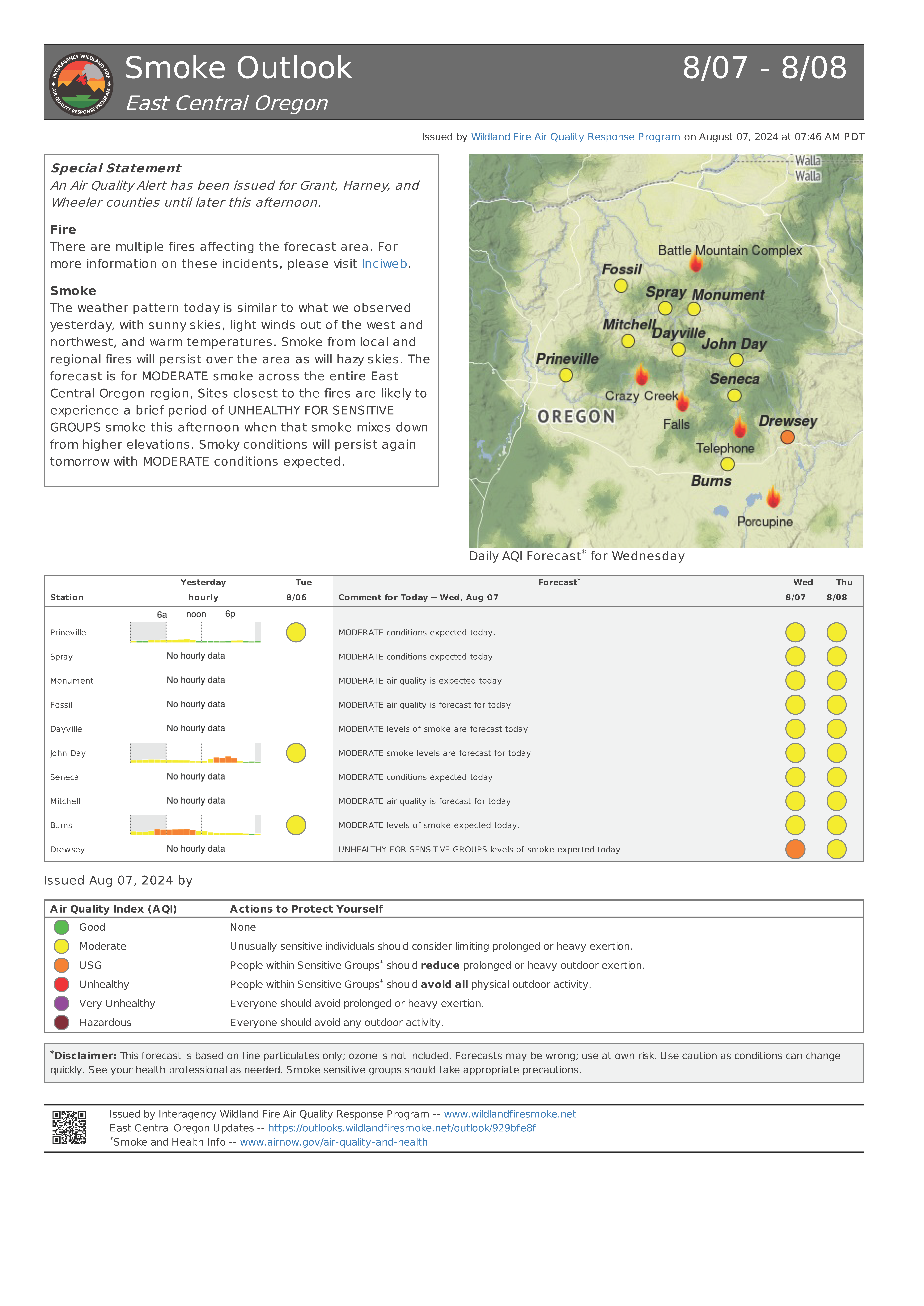
The weather pattern today is similar to what we observed yesterday, with sunny skies, light winds out of the west and northwest, and warm temperatures. Smoke from local and regional fires will persist over the area as will hazy skies. The forecast is for MODERATE smoke across the entire East Central Oregon region, Sites closest to the fires are likely to experience a brief period of UNHEALTHY FOR SENSITIVE GROUPS smoke this afternoon when that smoke mixes down from higher elevations. Smoky conditions will persist again tomorrow with MODERATE conditions expected.

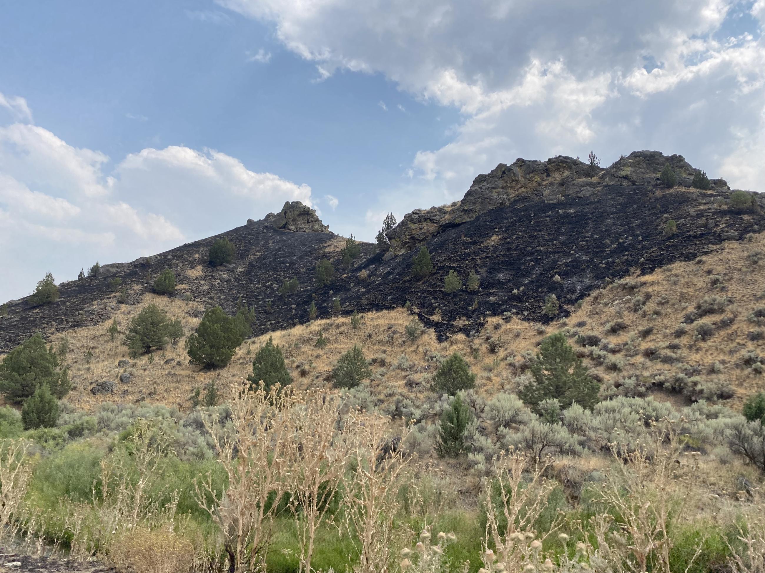
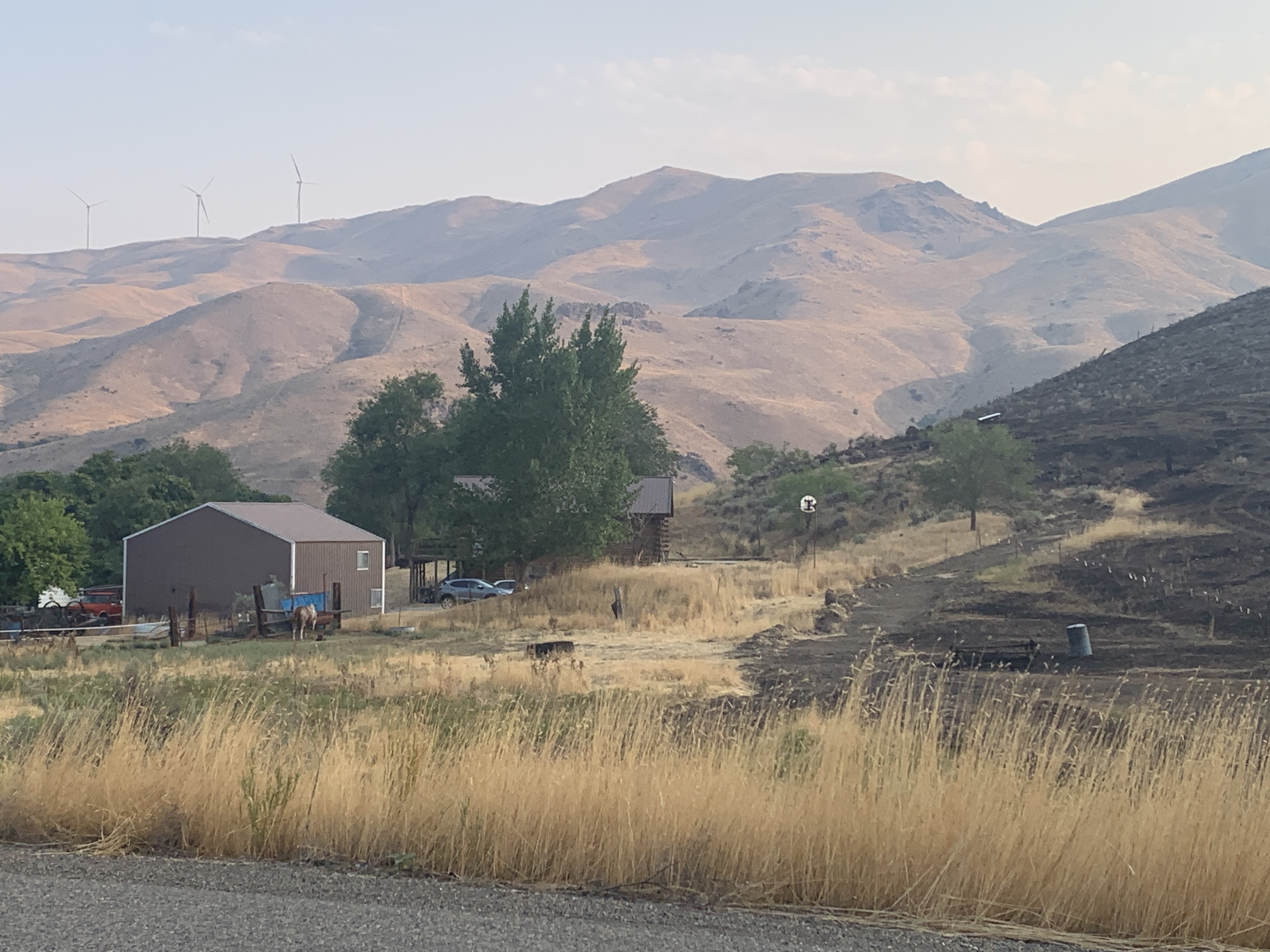
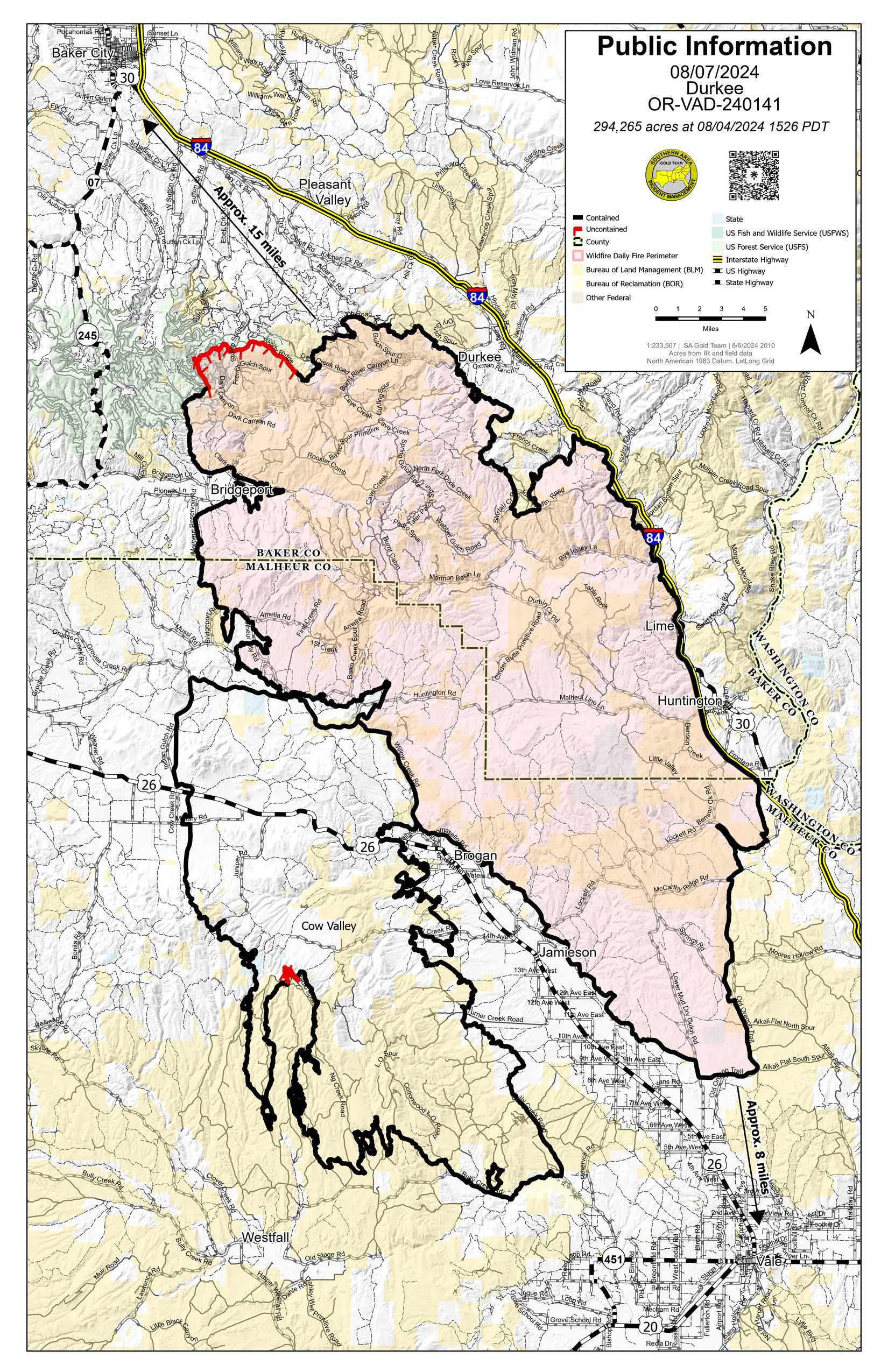
The Durkee Fire was started by lightning at approximately 9:30 a.m. on July 17, 2024. Firefighters have made excellent progress, bringing containment to 95% and starting suppression repair. The Southern Area Gold Complex Incident Management Team will transition management of the Durkee Fire back to the local units at 8 p.m. PDT.
The Durkee Fire was started by lightning at approximately 9:30 a.m. on July 17, 2024. Firefighters have made excellent progress, bringing containment to 95% and starting suppression repair. The Southern Area Gold Complex Incident Management Team will transition management of the Durkee Fire back to the local units at 8 p.m. PDT.
| Current as of | Wed, 08/07/2024 - 14:30 |
|---|---|
| Incident Type | Wildfire |
| Cause | Lightning |
| Date of Origin | |
| Location | 1 mile west of Durkee, Oregon |
| Incident Commander | Incident Commander Paul Varnedoe, Southern Area Gold Complex Incident Management Team |
| Coordinates |
44° 32' 52'' Latitude
-117° 28' 38
'' Longitude
|
| Total Personnel: | 337 |
|---|---|
| Size | 294,265 Acres |
| Percent of Perimeter Contained | 95% |
| Estimated Containment Date | 08/08/2024 |
| Fuels Involved | Short Grass (1 foot) |
| Significant Events | Minimal Narrative: |
| Planned Actions |
Continue to secure/hold/mopup fire line, primarily in the north and northwestern portions of the fire. Continue with extensive mopup and cold trail perimeter. Continue with suppression repair and supporting local IA as requested. |
|---|---|
| Projected Incident Activity |
12 hours: Minimal fire behavior expected overnight. Isolated heat remains, but low threat to containment. There is at least the potential for IA from yesterday's lightning storms, but that risk lowers as we head into the evening and nightfall. IR flight has been ordered to help identify any remaining heat. 24 hours: Isolated heat remains. Threat to containment is low and expected to remain low. The fire potential outside the footprint however is higher than potential inside the footprint, as temperatures again climb to nearly 100 degrees and humidity in the single digits. Fire danger is rising daily. IA potential is increasing. 48 hours: Very hot and dry weather expected to continue. Temperatures are forecast to approach 100 degrees, and relative humidities are expected to remain in the low teens or less. Nighttime recoveries are not expected to be good. Little if any precipitation expected and fire danger will remain very high. ERC's expected to be above the 95th percentile. Fire behavior outside the footprint is expected to be higher than fire behavior inside the footprint. 72 hours: Temps are forecast to hit 100 degrees with very low humidity. Single digit humidity is actually possible. Fuels are critically dry and fire danger outside the footprint is much higher than inside. ERC's are above the 95th percentile with no chance of precipitation in the near future. Minimal activity inside the footprint expected, but any heat source near a containment line should be addressed. Anticipated after 72 hours: No rain in the forecast. Fire danger is expected to remain high outside the footprint. ERC values are above the 95th percentile and continuing to increase. Hot and dry weather remains in place as well. Isolated heat expected to remain, |
| Remarks |
Origin has been determined and ownership falls on private land in Baker County, Oregon.
|
| Weather Concerns | Today so far, temperatures have been in the low to mid 90s, The weather pattern going forward can be characterized by hot |
|---|

 InciWeb

