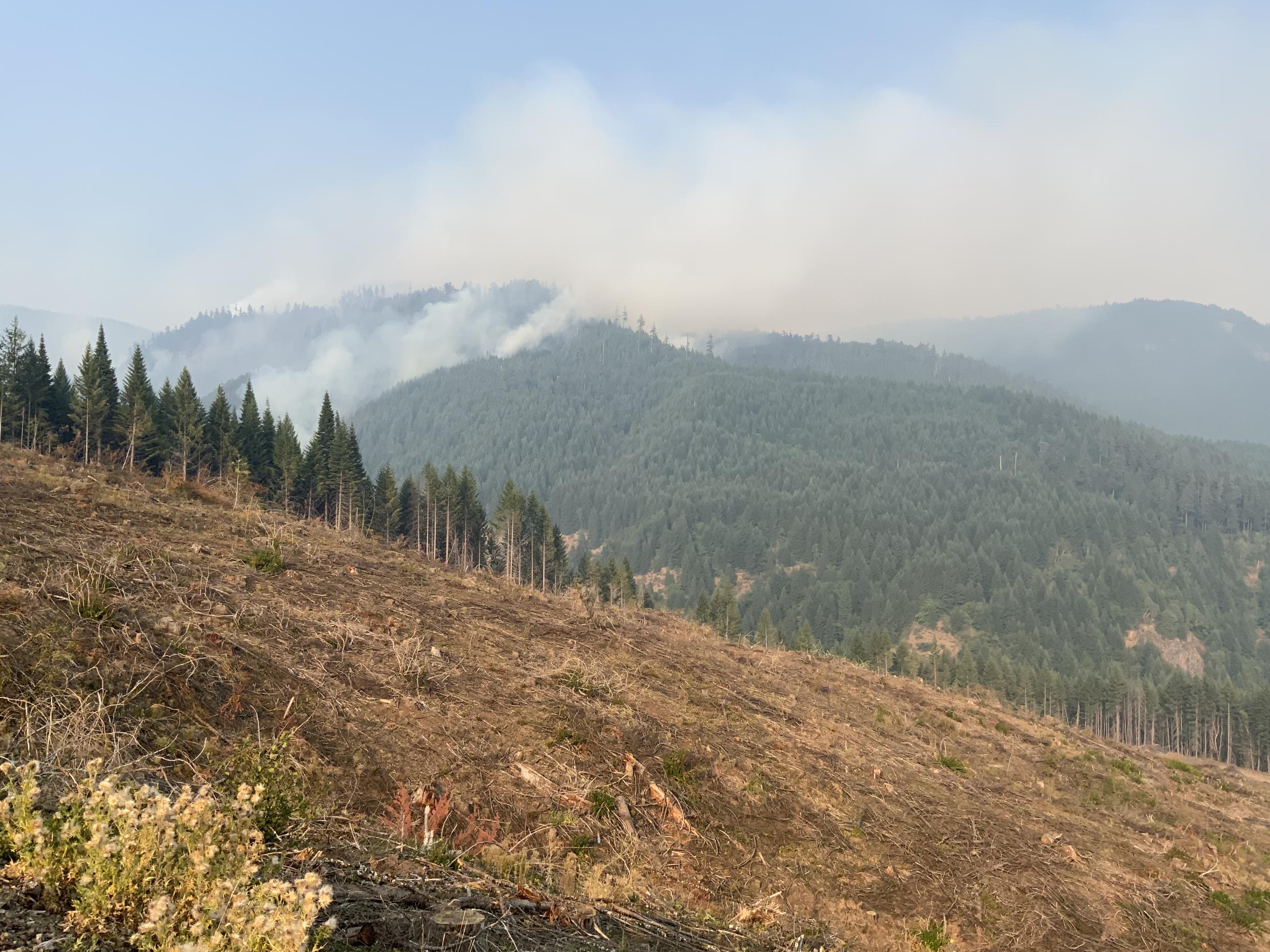
The Chilcoot Fire was started by lightning on August 24,2023 at 9:14 PM. The fire is located on the western edge of the Umpqua National Forest boundary, Bureau of Land Management land, and private timber land. It is about five miles north of the Steamboat Creek junction at Highway 138. It is burning in steep terrain in the Chilcoot Ridge area and headwaters of Hipower Creek.
This page will only be updated if there is significant activity to report.
| Current as of | Sat, 10/07/2023 - 18:39 |
|---|---|
| Incident Type | Wildfire |
| Cause | Lightning/Natural |
| Date of Origin | |
| Location | Umpqua National Forest - 19 mi ENE of Glide, OR |
| Incident Description | Full suppression wildfire |
| Coordinates |
43° 25' 47'' Latitude
-122° 44' 8
'' Longitude
|
| Size | 1,940 Acres |
|---|---|
| Percent of Perimeter Contained | 96% |
| Estimated Containment Date | 9/30/2023 |
| Fuels Involved | Fuels consist of timber litter. In mature stands, duff, snags and heavy loading of larger logs and down woody debris exists with areas of shrub and herbaceous fuels. In mature stands, abundant moss and lichen fuels are present. Moss and lichen are also present in older second growth stands, along with duff, needle litter and a moderate loading of 100-hour and 1000-hour fuels. Scattered shrub layer is also present in these stands. Younger second growth stands, contain needle litter with scattered jackpots of down woody debris. Moss and lichen fuels are scattered and less abundant in younger stands. |

 InciWeb