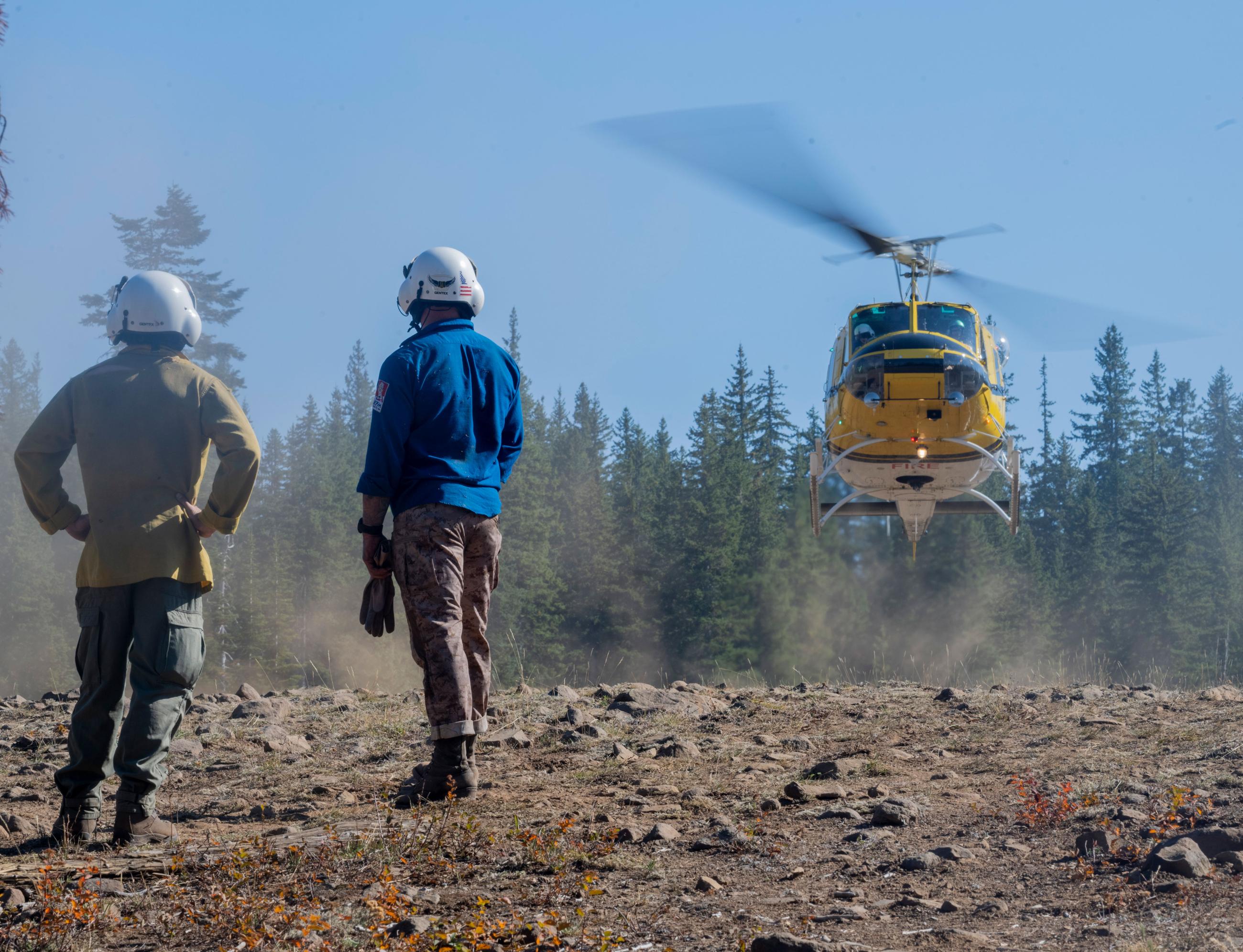
The Tiger Creek Fire is located on the Walla Walla Ranger District of the Umatilla National Forest. The fire location is approximately 15 miles southeast of Walla Walla, WA.
California Interagency Complex Incident Management Team 15 has transferred command back to the Umatilla National Forest, as of Wednesday, October 16th, 5:00 PM. There will be no further updates after transfer of command unless unlikely significant fire activity were to occur.
| Current as of | Mon, 10/21/2024 - 13:00 |
|---|---|
| Incident Time Zone | America/Los_Angeles |
| Incident Type | Wildfire |
| Date of Origin | |
| Location | 15 southeast of Walla Walla, WA. |
| Incident Commander | ICT4 Vickery |
| Incident Description | Wildfire |
| Coordinates |
45° 57' 22'' Latitude
-118° 1' 5
'' Longitude
|
| Total Personnel: | 250 |
|---|---|
| Size | 534 Acres |
| Percent of Perimeter Contained | 89% |
| Fuels Involved | Timber (grass and understory), brush, short grass. |
| Significant Events | Minimal fire behavior with smoldering, creeping, and backing. Interior isolated pockets burning with low surface fire and slow rates of spread. Minimal future fire growth expected. |
| Planned Actions |
Firefighters will continue patrol and mop up and conduct backhaul of excess equipment. The crews will continue assessing and implementing suppression repair tactics. |
|---|---|
| Projected Incident Activity |
A decrease in fire activity is expected with cooler temperatures and chance of precipitation. All handlines are currently holding the fire. |
| Remarks |
Transfer of command to Incident Command Team 4 Vickery will take place at 6 pm on October 16, 2024. |
| Weather Concerns | Cloudy and windy today following the passage of the early morning cold front. Showers will linger through the morning with temperatures holding steady in the 40s-50s most of the day. A second cold front will move across the area late in the day, bringing showers and snow shoers to the region. Mostly cloud tomorrow with on and off showers and snow above 4000 feet. |
|---|

 InciWeb