
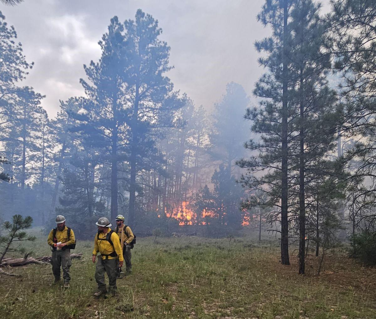
Carson National Forest fire managers are indirectly suppressing the lightning-caused Yeso Fire. Crews are primarily using roads to contain the fire within a 650-acre footprint, where the fire will play its natural role in the ecosystem.
This strategy is called “confine and contain.” Crews will manage the fire within a predetermined area (confine) and use points to stop the fire’s spread (contain). In this case, crews conducted firing operations within a 650-acre and used roads as containment lines.
No Closures or Evacuations
There are no current evacuations or closures associated with the fire, which is burning southeast of Canjilon, N.M., and northeast of Ghost Ranch. Visitors and residents may observe smoke. Hikers on nearby trails (Continental Divide National Scenic Trail and Yeso Trail) or visitors on nearby Forest Service roads may see flames and encounter fire personnel.
Background
The Yeso Fire was first reported on July 9 by fire personnel in the Deadman Lookout on the Santa Fe National Forest. Carson National Forest crews have since monitored the fire.
For more information on the strategy, fire ecology in ponderosa pine and how this fire plays into larger initiatives, check out the Yeso Fire overview.
For the Record: The predetermined area was originally estimated at 600 acres. With better mapping, the area was found to be 650 acres.
| Current as of | Thu, 08/01/2024 - 14:02 |
|---|---|
| Incident Time Zone | America/Denver |
| Incident Type | Wildfire |
| Cause | Lightning |
| Date of Origin | |
| Location | Mesa del Yeso |
| Coordinates |
36° 23' 36'' Latitude
-106° 24' 04
'' Longitude
|
| Size | 650 Acres |
|---|---|
| Percent of Perimeter Contained | 100% |
| Fuels Involved | Ponderosa Pine |
| Significant Events | Crews are working to increase containment. |
| Weather Concerns | Current and forecasted showers and thunderstorms |
|---|