


The Simmons Fire is 90% contained with no change in acreage; 351.
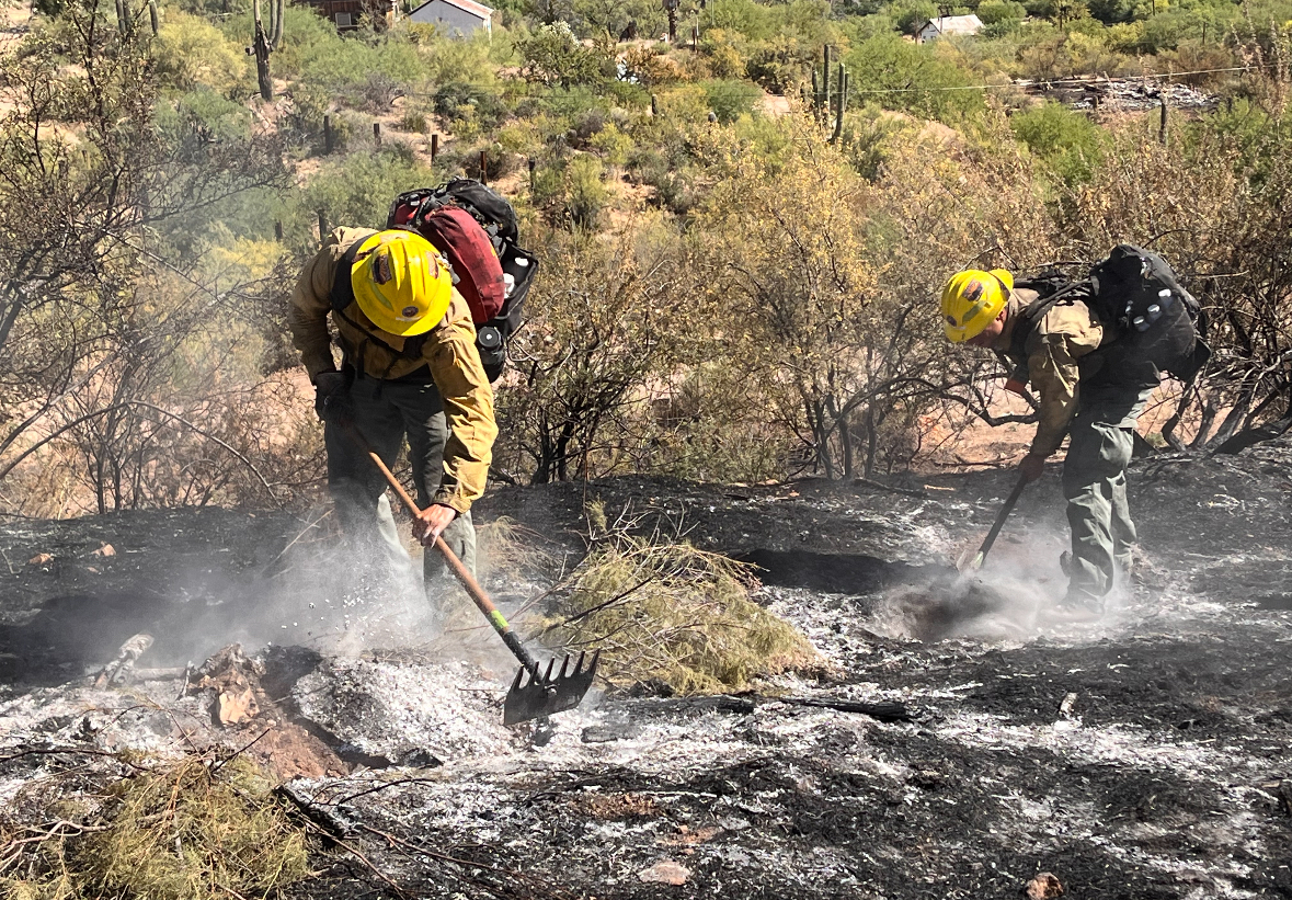
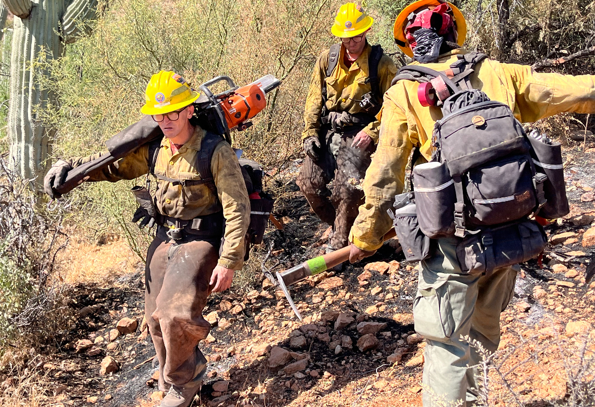
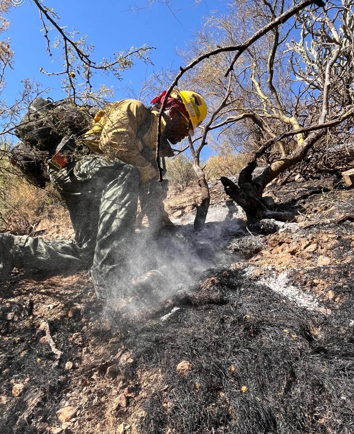
Today's plan is a carbon copy of Saturday's with crews patrolling and monitoring the fire's edge to ensure it's secure and there is no heat or smokes within the fire's interior. Fire overhead is demobilizing a majority of the resources to allow for reassignment to other incidents and/or rest and rehab prior to any new starts. Two engines remain assigned to the incident.
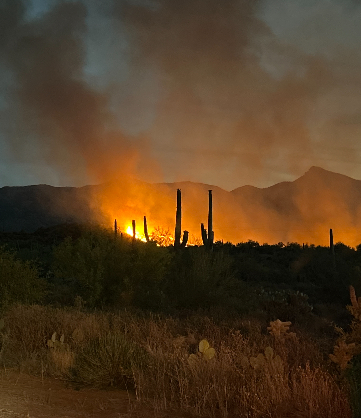
The fire started Tuesday, May 28, around 5:20 pm, 4.5 miles northwest of Kearny. High winds coupled with dry conditions created extreme fire behavior, pushing the fire through grass and brush to the southeast toward the community of Kearny. Along the northwest side, the fire burned near the Riverside neighborhood and on both sides of the Gila Riverbed. The fire burned onto Bureau of Land Management lands along the east and southeast sides. The fire destroyed four primary structures and damaged five.
| Current as of | Wed, 06/19/2024 - 18:29 |
|---|---|
| Incident Time Zone | America/Phoenix |
| Incident Type | Wildfire |
| Cause | Unknown |
| Date of Origin | |
| Location | 4.5 miles NW Kearny |
| Incident Commander | Jeffrey Fulghan, Coronado NF |
| Incident Description | Wildfire |
| Coordinates |
33° 6' 10'' Latitude
-110° 57' 35
'' Longitude
|
| Total Personnel: | 12 |
|---|---|
| Size | 351 Acres |
| Percent of Perimeter Contained | 100% |
| Estimated Containment Date | 6/1/24 |
| Fuels Involved | Brush, tall grass, |
| Significant Events | Heavy, downed fuel within fire's interior continue to smolder |
| Planned Actions |
Continue to maintain and improve current control lines. |
|---|---|
| Projected Incident Activity |
Minimal activity. |
| Weather Concerns | High winds, extreme heat and low relative humidity. Wind shifts that can potentially push toward the town of Kearny. Hot and dry conditions. |
|---|