
Donations 07 13 2024
Related Incident: Salt Creek
Publication Type: Announcement
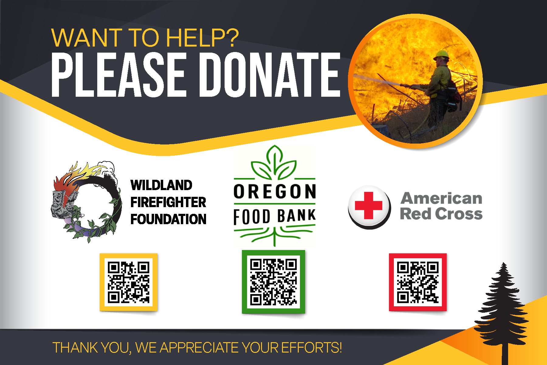
The best way to show gratitude to firefighters for their efforts is saying thank you if you see them, or by placing thank you signs around town. They appreciate the recognition and support. Firefighters are well fed through incident support, provided water, gatorade, showers, and laundry service. While the sentiment is appreciated, we are unable to accept donations. We recommend supporting your local community that has been impacted with wildfire, such as your local fire department, Red Cross, Oregon Food Bank, and the Wildland Firefighter Foundation.
Forest Service News Release Updated Area Closure for Falls Fire 07 13 2024
Related Incident: Falls Fire
Publication Type: Closures
Area Closure Update for Falls Fire
See the attachments listed below for the details of the current closure updates.
Oak Ridge Fire Facebook Currently Down 07 13 2024
Related Incident: Oak Ridge Fire
Publication Type: Announcement
The Oak Ridge Fire Facebook page has been taking down by Facebook. This seems to be a new issue with new Facebook pages created for public (community) safety information. We believe they are using AI technology, and that is creating the problem. We have appealed their action to get the page back. Sorry for the inconvenience.
Silver King Fire Daily Update July 08 2024 07 08 2024
Related Incident: Silver King Fire
Publication Type: News
**Silver King Fire Daily Update - July 8, 2024 07-8-2024**
Silver King Fire significantly increased in acreage in the last 24 hours from 5,400 to 10,026 acres due to extreme weather conditions.
Today firefighters on the North/Northwest side of the fire perimeter will focus on getting an anchor point established while continuing to scout and construct fire lines to prevent the spread of the fire. In the South/Southwest firefighters will continue to strengthen the dozer line from Beaver Creek to Deer Creek. Structure protection will continue in the Bullion Canyon.
A warming and drying trend will continue today with an excessive heat warning, as temperatures continue to increase above average the relativity humidity continues to drop to 10 – 15%. Winds will be coming from the north with gusts around 25 mph on the ridgelines this morning then lesson in the afternoon shift and to the west. These elements combine for extreme fire weather.
The Silver King fire is a full suppression fire, this strategy involves putting out fires as soon as possible to prevent them from spreading. Fire managers will use this strategy in their planning efforts.
Actualizacin Diaria de Basin Fire para el 13 de Julio de 2024 07 13 2024
Related Incident: 2024 Lake Fire
Publication Type: News
Inicio del incendio en el lago: Viernes 5 de Julio de 2024 a las 15:48 h.
Causa: Bajo Investigación
Ubicación: Cerca del lago Zaca en el condado de Santa Bárbara, al Norte de Los Olivos, California
Tamaño en el momento de la actualización: 37,472 acres
Contención: 19%
Personal: 3.410
Detalles completos del incidente: https://inciweb.wildfire.gov/incident-information/calpf-2024-lake-fire
Medios de comunicación: Fotos y videos oficiales del incendio del lago 2024
El incendio del lago se divide en una zona Norte y otra Sur a medida que el fuego se expande en superficie y personal. El incendio permanece bajo el Comando Unificado con el Equipo de Manejo de Incidentes Complejos de California 13, CAL FIRE, el Departamento de Bomberos del Condado de Santa Bárbara y el Sheriff del Condado de Santa Bárbara, con dos campamentos de bomberos para apoyar los esfuerzos de extinción de incendios.
Actividad del incendio en la zona Norte: En la parte Norte del perímetro del incendio, el fuego continúa retrocediendo lentamente hasta el Río Sisquoc. Debido al aumento de la humedad, el comportamiento del fuego hoy será tenue, lo que permite a las cuadrillas trabajar más cerca del borde del fuego. El incendio continúa más activo en el área de Davey Brown, Ranger Peak y Goat Rock. El incendio se está moviendo según lo planeado a las líneas de control establecidas, y las cuadrillas se enfocan en cualquier incendio puntual que escape de esas líneas. El personal de tierra continúa trabajando con varias aeronaves según sea necesario para ayudar con las tácticas de supresión.
Actividad de incendio en la zona Sur: Los bomberos continúan avanzando en la limpieza de los puntos calientes y el fortalecimiento de las líneas de control en el incendio del lago. Los bomberos han llevado a cabo operaciones de tiro para crear una zona de amortiguamiento en las áreas del incendio, y continúan reforzando las líneas de control, identificando y extinguiendo cualquier punto caliente restante dentro del perímetro del incendio. Hoy en día, las cuadrillas continúan combatiendo activamente el fuego mientras trabajan en el fortalecimiento de las líneas de contención y control.
Pronóstico para el sábado: Un 10-20% de probabilidad de tormentas eléctricas principalmente secas durante el día capaces de producir rayos junto con vientos racheados. Por lo demás, cielos parcialmente nublados y ligeramente más frescos, con máximas entre los 80 y los 90 grados. Vientos generales del SurOeste de 6 a 12 mph con ráfagas de 20 a 25 mph, pero es posible que haya ráfagas de viento mucho más fuertes con salidas de tormentas eléctricas.
Cierre actualizado del área del incendio del lago: El Bosque Nacional Los Padres ha aumentado el cierre del área para las tierras afectadas por el incendio del lago. Vea el mapa de la orden de cierre y la orden de cierre. Esto permanecerá en vigor hasta el 18 de Agosto de 2024, o hasta que se revise o rescinda.
Humo: El Departamento de Salud Pública del Condado de Santa Bárbara y el Distrito de Control de la Contaminación del Aire del Condado de Santa Bárbara (APCD) han actualizado la Alerta de Calidad del Aire que incluye el Valle de Santa Ynez y otras áreas cercanas al incendio del lago.
Áreas de evacuación:https://www.readysbc.org/4275/Lake-Fire-Incident---July-2024 Regístrese para recibir alertas de emergencia en ReadySBC.org.
Cierres de carreteras: Visite el Mapa de Cierres de Carreteras del Condado para obtener más detalles.
• Happy Canyon Road en el límite del Servicio Forestal
• Figueroa Mountain Road a 1/2 milla al norte de la autopista 154
• Avenida Calzada y Avenida Brinkerhofff a la altura de Roblar
Watch Fire Update Saturday 07 13 2024
Related Incident: Watch Fire
Publication Type: News
Acres: 2,162 acres
Start Date: July 11, 2024
Cause: Human Caused, Under Investigation
Fuels: Cottonwood, Brush, Understory
Containment: 0%
Resources: Approximately 300 personnel
Location: 7 Mile District of San Carlos Arizona
The Southwest Area Complex Incident Management Team 2 (Team2), led by Incident Commander John Truett, assumed command of the fire at 8:00 this morning. Incident objectives include firefighter and public safety, protecting property, infrastructure, and other values at risk, including timber and watershed while implementing full-suppression tactics.
Operations: Increase in acreage is due to successful 1000 acre burnout operations that secured the fire edges to existing roads on Thursday night. No growth in the fire acreage occurred Friday. Today, firefighter efforts will be concentrated on the edges of the fire, scouting for possible new containment lines and improving existing containment lines. Structure protection crews will be evaluating properties and communities along the edge of the fire area and developing strategies in the event the fire continues moving beyond the containment lines. Structure damage assessment is being done currently with reports forthcoming.
Evacuations: The communities along White Mtn. Ave, Farmer’s Station, Peridot Heights, and Old/New Moon base that were under GO evacuation orders have been downgraded to READY status. The remaining community of San Carlos should be ready to evacuate at any notice. Go to the San Carlos Police Department Facebook page and San Carlos Apache Tribe Emergency Response Commission (TERC) Facebook page.
Evacuation shelters are located at the San Carlos High School, Apache Gold Casino, and the Michael Noline Peridot Activity Center. Donations are being accepted at the San Carlos High School.
Safety: Expect increased activity in the area and on local roads as firefighters and equipment move to new locations. Please stay out of the fire area to allow crews safe access to the fire. A Temporary Flight Restriction is in place around the fire area. Please do not fly drones anywhere near the fire. If you fly, we can’t fly.
Weather: Mostly sunny skies. High of 109, winds SSE at 5 to 10 mph. Slight chance of afternoon showers.
Restrictions/Closures: Peridot Siding Road from Again Bridge to The Church of Jesus Christ, and White Mountain Avenue are closed. Closures are being adjusted based on fire activity for public and firefighter safety.
Smoke: Smoke-sensitive individuals and people with respiratory problems or heart disease are encouraged to take precautionary measures. Air quality information is available at https://www.airnow.gov/
Fire Information: 8 A.M. to 8 P.M. 928-588-4033 – 2024.watch@firenet.gov
Silver King Fire Daily Update July 09 2024 07 09 2024
Related Incident: Silver King Fire
Publication Type: News
**Silver King Fire Daily Update - July 9, 2024 07-9-2024**
Silver King Fire increased to 11,290 acres due to hot, dry, and windy weather conditions Monday. The Fishlake National Forest has issued a closure order for the protection of public health and safety due to firefighting operations. The health and safety of firefighters and the public are always the highest priority.
Today on the fire there are 3 - Type 1 and 1 - Type 3 Helicopters along with 2 Scooper planes and an Unmanned Aircraft System (UAS). Firefighters on the North/Northwest side of the fire perimeter will continue establishing an anchor point and construct fire line to protect the Silver King Mine. In the South/Southwest fire has become established south of the Bullion Creek, crews will work on keeping the fire in check along the eastern edge. Pumps and hose lays are in place at Historic Miners Park for structure protection.
The National Weather Service in Salt Lake City has issued a Red Flag Warning for wind and low relative humidity, which is in effect from noon to 9 p.m. today. Hot, windy, and dry conditions will persist for the next several days. North winds are expected to gust between 25 and up to 30 miles per hour during the afternoon. This will make fire suppression efforts difficult.
Santa Barbara Declares State of Emergency for Lake Fire 07 13 2024
Related Incident: 2024 Lake Fire
Publication Type: Announcement
MOREPRESS
RELEASE
July 12, 2024
News Media Contact:
Joint Information Center
Media line: 805-681-4030
Email: eocpiostaff@countyofsb.org
Santa Barbara County Proclaims Local Emergency Due to Lake Fire
(SANTA BARBARA, Calif.) – On July 12, 2024, the County of Santa Barbara proclaimed a
local emergency due to the Lake Fire, which threatens several communities including Santa
Ynez and Los Olivos, as well as ranches, farms, homes, campgrounds, and State Routes
154 and 176. The proclamation (attached) was executed by Mona Miyasato, Santa Barbara
County Executive Officer and Director of Emergency Services. The proclamation will be
taken to the Board of Supervisors for ratification on Tuesday, July 16, 2024.
Proclaiming a local state of emergency is an essential step for local governments dealing
with significant incidents. It ensures that all county resources are available for the Lake Fire
control efforts and supporting activities. Having the proclamation in place also helps
facilitate state and federal fiscal assistance for local government and impacted residences
and businesses.
“The July 2024 Lake Fire is still burning and continuing to create dangerous conditions to
the safety and well-being of persons and property within Santa Barbara County. In addition,
the longer this emergency goes on the greater impact it will have on the economy of our
county,” said County Executive Officer, Mona Miyasato.
On July 5, 2024, a wildfire named the “Lake Fire” began burning in the Zaca Resort area in
the Santa Ynez Valley. This was followed by evacuation orders for approximately 423
residents and evacuation warnings for 1,182 residents due to threats to life and safety
caused by the Lake Fire. Residents can utilize the Santa Barbara County July 2024 Lake
Fire Incident Map to type in their address to see if their property currently falls within the
highlighted areas.
Lake Fire Incident Information can be found at, ReadySBC.org.
For additional information, contact the Santa Barbara County Call Center at (833) 688-5551.
REGISTER TO RECEIVE ReadySBC ALERTS: If you haven’t registered for emergency
alerts, register now at ReadySBC.org. Receive local emergency alerts via text, phone call,
and email.
###
Silver King Fire Daily Update July 10 2024 07 10 2024
Related Incident: Silver King Fire
Publication Type: News
**Silver King Fire Daily Update - July 10, 2024**
Fire behavior was not as active during last night’s operations, giving firefighters more opportunities to contain and confine the fire, slowing fire spread near the Cottonwood drainage to the south. Firefighters continue to suppress the fire in extreme heat today, constructing indirect handlines and improving dozer lines along the eastern edge to protect Marysvale and other communities. They are scouting and performing structure protection near Elk Ranch on the northeast side of the fire.
The crews on the ground are supported by helicopters and an unmanned aircraft system (UAS) or drone, as well as aircraft called “Scoopers”. Water Scoopers are amphibious aircraft that skim the surface of a water body and scoop water into an onboard tank and then drop it on a fire. Firefighters also utilize a strategy called “point protection” which protects specific assets or highly valued resources from the wildfire using pumps, hoselays, and sprinklers.
Fire managers with the Great Basin Incident Management Team 2 and cooperating agencies are carefully weighing risk versus gain in all strategies and tactics, keeping the lives and safety of the public, firefighters and aviators as the highest priority. Crews are working across the Bullion Canyon area to protect values at risk, including essential watersheds and water systems, private homes and property, critical infrastructure such as power transmission lines, historic mining districts, and other natural resources.
The weather continues to be extremely hot and dry with another Red Flag Warning today. This means critical fire weather conditions are likely to occur, and any new fire starts or existing fires may spread rapidly. Temperatures will be excessively hot and relative humidities will be between 8-13% across all elevations.
Smoke is impacting the Town of Marysvale and surrounding communities to the south, including Circleville and Panguitch. Fire managers have brought in an Air Resource Advisor to deploy smoke monitors in areas of concern.
The Fishlake National Forest has issued a closure order that can be found here: https://www.fs.usda.gov/alerts/fishlake/alerts-notices. The Castle Rock Campground remains open.
Salt Creek Fire Daily Update Spanish Version 07 13 2024
Related Incident: Salt Creek
Publication Type: News
El Incendio Salt Creek se convierte a Operación Completamente de Limpieza
EAGLE POINT, Ore. – Con todo el perímetro alineado, el trabajo en el incendio de Salt Creek actualmente está enfocado en la limpieza del resto del incidente. Estudios cartográficos sitúan el incendio en 4,081 acres, y esta tarde está previsto realizar un vuelo infrarrojo (IR) por toda la zona para confirmar la superficie final.
Durante la noche, los bomberos utilizaron varios tipos de dispositivos infrarrojos para buscar puntos de emanación de calor o zonas de vegetación quemándose, así como también raíces y brasas ardientes que pudieran volver a encenderse en condiciones de calor. Con estos lugares específicos identificados y marcados en los mapas, el día de hoy, los recursos del turno diurno podrán encontrar y extinguir mejor estas zonas con calor remanente.
El comandante de Incidentes, IMT 1, Joe Hessel, dijo "Hemos trabajado increíblemente sin descanso en corto tiempo para llegar a este punto en el que el fuego se alinea y se mantiene, el trabajo restante nos exigirá ser metódicos y minuciosos".
El día de hoy, los recursos retomarán el trabajo donde lo dejó el turno de la noche y proseguirán con los avances en el perímetro. El área total de limpieza oscila entre 50 y 200 pies de profundidad en el interior del incendio, lo que ilustra lo amplia y segura que es la línea en cada zona.
Actualmente, hay más de 750 profesionales asignados al incendio para el turno diurno del sábado, incluyendo 27 escuadrillas de 20 personas, 22 camiones de bomberos, 12 camiones cisterna, 13 taladoras de árboles, 7 tractores topadores y otros tipos de equipos de tala.
Por razones de seguridad, BLM del Distrito de Medford ha cerrado temporalmente las tierras gestionadas por esta agencia en el área afectada. Para más información: https://www.blm.gov/orwafire
Permanece en efecto el Nivel 1, "PREPARESE", de aviso de evacuación emitidos por la Oficina del Sheriff del Condado de Jackson y Gestión de Emergencias. Más información sobre evacuaciones en: https://protect.genasys.com/
El Nivel de Peligro de Incendio es “EXTREMO”. Siga las ordenes de restricción de incendios para prevenir nuevos brotes. Información:
- Distrito del Suroeste de Oregon ODF: https://swofire.com/
- La Página de Alertas y Noticias de RRSNF www.fs.usda.gov/alerts/rogue-siskiyou/alerts-notices y la página principal web www.fs.usda.gov/rogue-siskiyou
- La página para el Manejo de Incendios de BLM OR/WA: www.blm.gov/orwafie
El Incendio Salt Creek está localizado 10 millas al Este de Eagle Point y fue
inicialmente reportado el domingo, 7 de Julio, justo después de las 4 de la
tarde. La causa del incendio se encuentra bajo investigación.