
Incident Publication
Dixie Valley
Related Incident:
Publication Type: News
Dixie Valley Area -
Due to the meeting being interrupted by a power outage, Team 5 wanted to address some of the questions regarding Dixie Valley.
The fire is holding along the ridge East of Dixie Valley with Handline and/or completed dozer line running from the bottom edge of the map all the way to the Division Break (black comma's), and continuing across the ridge to the north. The Contingency Lines mentioned in the Facebook Live meeting are the other Black Cross-hatched Dozer Line closer to the valley bottom along the north/east side of the roads.
Fire Fighters use a model called the PACE model, Primary, Alternate, Contingency, and Emergency. As things are at this time, having contingency lines means that there are several fallback plans for protecting homes and communities between the fire's current edge, and the homes.
The fire's edge south of the DP-30 (drop point) is a black line, meaning it is a secured fire line, very unlikely to change.
A better map is available in the Map Tab.

Beckwourth Complex Daily Update for July 19 2021
Related Incident:
Publication Type: News
Current Situation: Monsoon moisture has moved in from the south. Storms may produce lightning and erratic winds. Fire crews on the northeast side are finding and extinguishing areas of residual heat. Additional resources will be brought in for fire suppression repair.
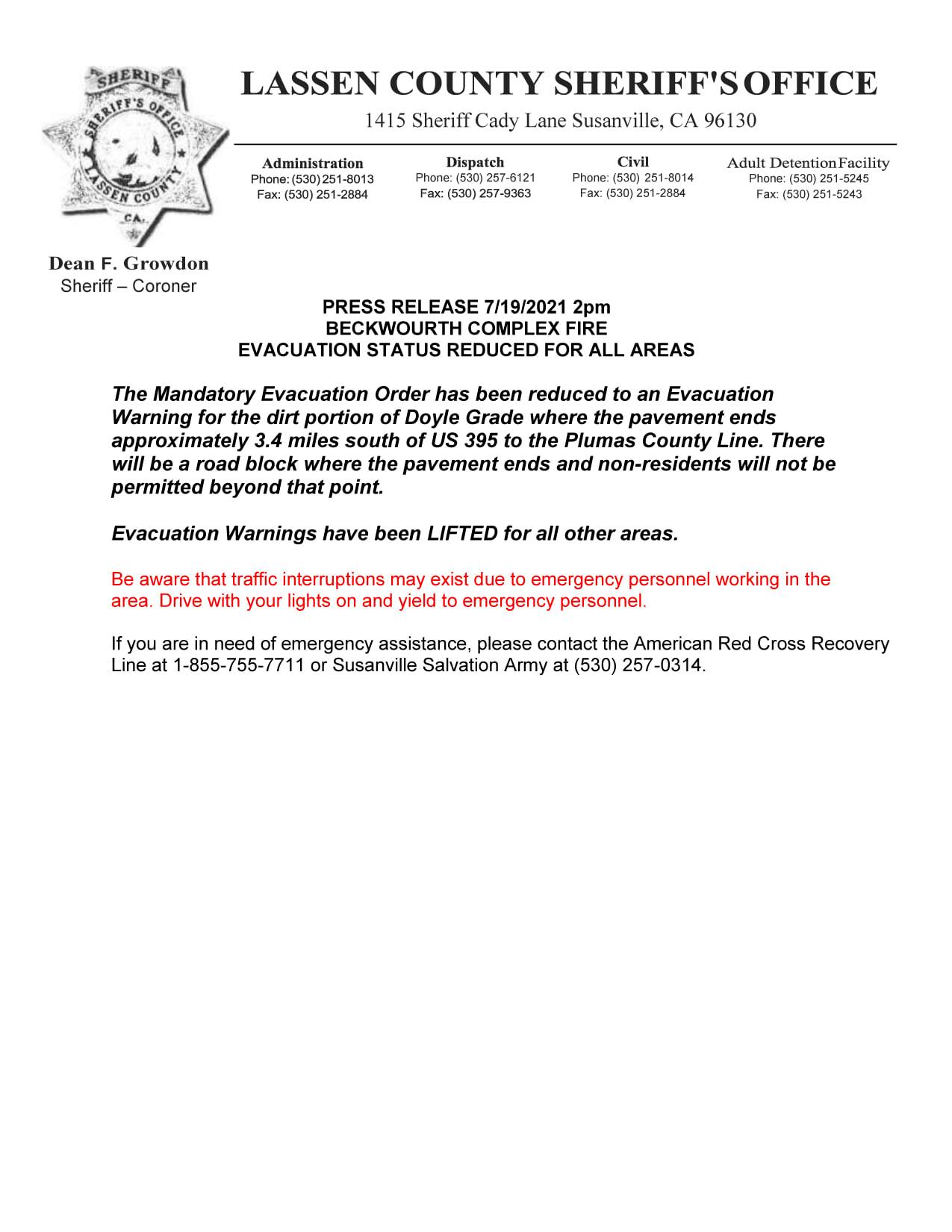
The Sugar Fire within the Beckwourth Complex is remaining within its present parameter of over 60 miles of containment lines. Firefighters continue to secure and patrol the fire area from Highway 395, northwest from Doyle to Bird Hill and south to Meadow View. Crews are monitoring smoldering, smoking pockets of vegetation within the fire’s perimeter. Containment lines from the Dixie Mountain ridge system, north to Ramelli Creek and from Maddalena, east to the Scott Road, north to Constantia and the community of Doyle are still holding. Firefighters will continue monitoring these areas.
Evacuations: Check your county’s web and social media pages for current evacuation information.
• Plumas County: Plumas County Sheriff's Office - Home (facebook.com)
• Lassen County: Lassen County Sheriff's Office | Facebook
Road and Forest Closures: Highway 395 is open; however, other roads in the fire area are closed. View the Plumas National Forest Closure Order (https://inciweb.nwcg.gov/incident/closures/7601/) for detailed information. Monitor Caltrans's District 2 website or Twitter feed for current highway closure information
Beckwourth Fire Daily Update for July 20 2021
Related Incident:
Publication Type: News
Current Situation: The fire is not expected to move outside its current perimeter. Crews are finding and extinguishing pockets of lingering heat that are within 100 to 300 feet—depending on terrain—from the containment line. As the fire is increasingly contained, crews, equipment, and other resources are being reassigned to other incidents or returning to their home units for rest between mobilizations. Widespread smoke from the Dixie Fire continues to affect Susanville. A group of initial-attack firefighters is prepositioned on the west side of the fire, allowing for a rapid response to new fires. Last evening, night-shift firefighters quickly mobilized and contained a new lightning-caused fire west of the Beckwourth Complex. In areas where the fire is contained, crews and equipment have begun fire-suppression repair work.
Evacuations: Check your county’s website and social media pages for current evacuation information.
· Plumas County: Plumas County Sheriff's Office | Facebook
· Lassen County: Lassen County Sheriff's Office | Facebook
Beckwourth Fire Daily Update for July 21 2021
Related Incident:
Publication Type: News
Evacuations: Check your county’s web and social media pages for current evacuation information.
· Plumas County: Plumas County Sheriff's Office | Facebook
· Lassen County: Lassen County Sheriff's Office | Facebook
CIIMT5 will host a virtual community meeting 6 pm tonight
Related Incident:
Publication Type: News
California Interagency Incident Management Team 5 will host a virtual community meeting to update the public on the status of the Beckwourth Complex as the team prepares to transfer management of the fire to a local Type 3 team. The Dixie Fire - another fire on the Plumas National Forest - is not part of the Beckwourth Complex. Submit your questions about the Beckwourth Complex in advance by emailing 2021.BeckwourthComplex@firenet.gov or by posting in the event discussion.
You do not need a Facebook account to watch the livestream of the meeting.
Beckwourth Complex Daily Update for July 22 2021
Related Incident:
Publication Type: News
Virtual Community Meeting: A virtual community meeting was recorded—as opposed to a Facebook Live presentation—because full power was unavailable at the incident command post in Susanville. The meeting is on the Plumas National Forest Facebook page (link above).
Current Situation: The incident’s fire behavior analyst does not anticipate that the fire will spread outside its current perimeter. Crews are working toward containing the last remaining section of open fireline on the west side of the fire. Elsewhere around the fire perimeter, firefighters are identifying and extinguishing all sources of heat—for example, smoldering stumps—that they find up to 300 feet within the fireline. They are also backhauling, which is when they clean up and return supplies, equipment, and trash to the base camp. Fire-suppression repair work is also in progress. Firefighters are prepared to respond to new fire starts around the Beckwourth Complex as needed. Smoke from the Dixie Fire continues to spread across large portions of northeastern California and western Nevada.
The Dotta Fire within the Beckwourth Complex is 100 percent contained. Smoke may be visible as pockets of vegetation in the fire’s interior smolder or burn. Firefighters patrol the entire fire daily.
Today, California Interagency Incident Management Team 5 is transitioned with a local Type 3 incident management team, and transfer of command occurred tomorrow, at 6:00 a.m.
Reduced Forest Closure Order
Related Incident:
Publication Type: Announcement
Beckwourth Complex Emergency Area, Road, and Trail Closure (Exhibit A) begins at the Southwest corner of Section 8 in T23N, R15E
then continues North along the West Boundaries of Sections 8 and 5 in T23N, R15E
then continues North along the West Boundaries of Sections 32, 28, 22, 15, 10, 3 in T24N, R15E
then continues North along the West Boundaries of Sections 34 and 27 in T25N, R15E to the intersection of the West Boundary of Section 27 in T25, R15E and Forest Road 25N25Y
then continues North along Forest Road 25N25Y to the intersection of 25N25Y the West Boundary of Section 1 in T25N, R15E
then continues North along the West Boundary of Section 1 in T25N, R15E
then continues East along the North Boundary of Section 1 in T25N, R15E
then continues East along the North Boundary of Section 6 in T25N, R6E to the intersection of the North Boundary of Section 6 in T25N, R6E and the West Boundary of Section 31 in T26N, R16E
then continues North along the West Boundary of Section 31 in T26N, R16E to the intersection of the West Boundary of Section 31 in T26N, R16E and the Forest Administrative Boundary
then continues generally South and East along the Plumas National Forest Administrative Boundary to the intersection of the Plumas National Forest Administrative Boundary and the South Boundary of Sections 17, 18 in T23N, R17E
then continues West along the South Boundary of Sections 17, 18 in T23N, R17E to the intersection with the Plumas National Forest Administrative Boundary
then continues West along the Plumas National Forest Administrative Boundary to the starting point for Exhibit A Closure at the Southwest corner of Section 8 in T23N, R15Eas shown on the attached map (Exhibit B).
Closed Forest Roads:
23N02Y
24N07Y
24N72
25N25Y
23N05
24N12X
24N74
25N27
23N13
24N22X
24N76
25N35Y
23N34
24N22XA
24N78
25N70
23N62
24N22XB
24N79X
25N70A
23N67
24N43
24N88
25N70C
23N71
24N44
24N91
25N70C1
24N00
24N44A
24N99
25N70C2
24N01
24N44B
25N01
25N71
24N01A
24N45
25N01A
28N01
24N01B
24N46X
25N02
28N01C
24N01C
24N51X
25N03
24N01D
24N51XA
25N11
24N01E
24N51XB
25N11C
24N01F
24N51XB1
25N11D
24N01G
24N51XB2
25N11E
24N02
24N52
25N11F
24N02Y
24N55X
25N11G
24N06Y
24N64
25N11H
24N07X
24N65
25N25
Closed Forest Trails:
15M06
16E26
16E27
16E34
16E40
16M02
16M03
17M03
17M04
Beckwourth PostFire BAER Assessment Report Released
Related Incident:
Publication Type: Announcement
BECKWOURTH POST-FIRE BAER ASSESSMENT REPORT RELEASED
The Forest Service, Plumas National Forest completed its post-fire assessment for emergency stabilization measures and actions on National Forest System (NFS) lands burned by the Beckwourth Complex fires. The emergency treatments and activities are designed to decrease possible impacts to critical values from the burned area such as: life and safety, property, critical natural resources, and cultural resources.
For additional information about the Forest Service BAER Program, see BAER Briefs that have been posted to this InciWeb page under the "News" tab. The BAER assessment report is linked below as “Related Information” as a PDF document called “BeckwourthComplex Post-Fire BAER 2500-8 Report_PUBLIC”.
For private lands that may be impacted off federal lands, the Beckwourth BAER assessment report is shared and coordinated with other federal, state and local agencies and cooperators who can assist affected business, home and landowners prepare for rain events, such as the Natural Resources Conservation Service (NRCS).
NRCS and local sponsors prepare damage survey reports for eligible private lands adjacent to and downstream from affected burned areas. NRCS uses these reports, along with the Forest Service BAER team’s assessment report, to develop emergency measures to reduce the impacts from potential increased water and debris flows, and assist local sponsors to implement recommended emergency measures through its Emergency Watershed Protection (EWP) Program: (www.nrcs.usda.gov/Internet/FSE_DOCUMENTS/stelprdb1045263.pdf).
Additional information is available from NRCS offices which explains the eligibility requirements for the EWP program and at the “NRCS EWP Information Brochure" Related Information link below.
SPECIAL NOTE: Everyone near and downstream from the burned areas should remain alert and stay updated on weather conditions that may result in heavy rains over the burn scars. Flash flooding may occur quickly during heavy rain events be prepared to take action. Current weather and emergency notifications can be found at the National Weather Service website: https://www.weather.gov/sto/.
Three Phases of Wildfire Recovery
Related Incident:
Publication Type: News
THREE PHASES OF WILDFIRE RECOVERY
There are three phases of recovery following wildfires on federal lands:
- Fire Suppression Repair
- Emergency Stabilization-Burned Area Emergency Response (BAER)
- Long-Term Recovery and Restoration
o Fire Suppression Repair is a series of immediate post-fire actions taken to repair damages and minimize potential soil erosion and impacts resulting from fire suppression activities and usually begins before the fire is contained, and before the demobilization of an Incident Management Team. This work repairs the hand and dozer fire lines, roads, trails, staging areas, safety zones, and drop points used during fire suppression efforts.
o Emergency Stabilization-Burned Area Emergency Response (BAER) is a rapid assessment of burned watersheds by a BAER team to identify imminent post-wildfire threats to human life and safety, property, and critical natural or cultural resources on National Forest System lands and take immediate actions to implement emergency stabilization measures before the first post-fire damaging events. Fires result in loss of vegetation, exposure of soil to erosion, and increased water runoff that may lead to flooding, increased sediment, debris flows, and damage to critical natural and cultural resources. BAER actions such as: mulching, seeding, installation of erosion and water run-off control structures, temporary barriers to protect recovering areas, and installation of warning signs may be implemented. BAER work may also replace safety related facilities; remove safety hazards; prevent permanent loss of habitat for threatened and endangered species; prevent the spread of noxious weeds, and protect critical cultural resources.
o Long-Term Recovery and Restoration utilizes non-emergency actions to improve fire-damaged lands that are unlikely to recover naturally and to repair or replace facilities damaged by the fire that are not critical to life and safety. This phase may include restoring burned habitat, reforestation, other planting or seeding, monitoring fire effects, replacing burned fences, interpreting cultural sites, treating noxious weed infestations, and installing interpretive signs.
SPECIAL NOTE: Everyone near and downstream from the burned areas should remain alert and stay updated on weather conditions that may result in heavy rains over the burn scars. Flash flooding may occur quickly during heavy rain events-be prepared to take action. Current weather and emergency notifications can be found at the National Weather Service website: www.weather.gov/sto/.Forest Service BAER Program Overview
Related Incident:
Publication Type: News
FOREST SERVICE BAER PROGRAM OVERVIEW
The Burned Area Emergency Response (BAER) program is designed to identify and manage potential risks to resources on National Forest System lands and reduce these threats through appropriate emergency measures to protect human life and safety, property, and critical natural or cultural resources. BAER is an emergency program for stabilization work that involves time-critical activities to be completed before the first damaging event to meet program objectives.
SEE FULL BAER BRIEF BELOW AS A RELATED INFORMATION LINK.