Single Publication
Could not determine your location.
October 31, 2023 Pile Burning Update
Lolo National Forest Prescribed Fire Operations
Publication Type: Announcement 11/01/2023
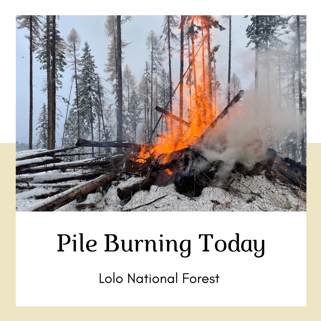
Pile burning will continue today across multiple districts on the Lolo National Forest. Pile burning reduces the amount of fuels that are available to burn, lowering a wildfire’s intensity and reducing risks to firefighters and communities, a key component of the Wildfire Crisis Strategy.
Missoula Ranger District: Firefighters will be burning 70 acres of hand piles in the Howard Creek drainage, north of Highway 12. Smoke may be visible from Highway 12.
Ninemile Ranger District: The Ninemile District plans to pile burn at the Clearwater Crossing Campground located 17 miles southwest of Alberton. Smoke may be visible Interstate 90.
Plains/Thompson Falls Ranger District: 25-acre pile burn will take place 7 miles southeast of Plains. Smoke may be visible from Plains.
Superior Ranger District: Firefighters will initiate up to 6 acres of pile burning operations 4 miles northeast of Cabin City and 5 miles northeast of Superior. Smoke may be visible from Interstate 90 and Superior.
Firefighters will implement, patrol and monitor the pile burning over the next few days.

 InciWeb
