Single Publication
Could not determine your location.
October 25, 2023 Prescribed Fire Update
Lolo National Forest Prescribed Fire Operations
Publication Type: Announcement 10/26/2023
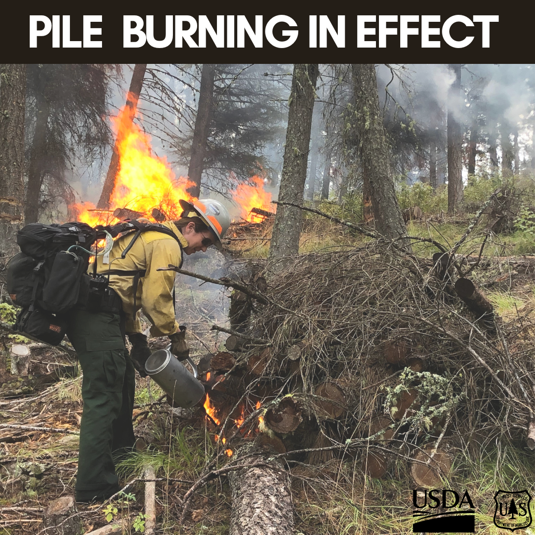
Pile burning will continue today across all five districts on the Lolo National Forest. Pile burning reduces the amount of fuels that are available to burn, lowering a wildfire’s intensity and reducing risks to firefighters and communities, a key component of the Wildfire Crisis Strategy.
Missoula Ranger District: Firefighters will conduct approximately 75 acres total on three pile burn units on the Missoula Ranger District. Pending conditions, the pile burning will take place on the west side of Marshall Canyon, north of Highway 200 along Lower Blackfoot Corridor, and 2 miles northwest of Lolo Hotsprings. Smoke may be visible from the Missoula, Bonner, parts of the I-90, Highway 12 and Highway 200 Corridors.
Ninemile Ranger District: Firefighters will burn up to 10 acres of landing piles located 3 miles west of the Tarkio, south of Interstate 90. The Ninemile District also plans to burn up to 26 acres of hand piles 4 miles northwest of Alberton. Smoke may be visible from the Ninemile Valley, Alberton and Interstate 90.
Plains/Thompson Falls Ranger District: The Plains/Thompson Falls District will conduct pile burning on two different units located 3 miles north of Thompson Falls and 7 miles northwest of Plains. Smoke may be visible from Thompson Falls and Plains.
Superior Ranger District: Firefighters on the Superior District will conduct pile burning 7 miles east of St. Regis. Smoke may be visible from Interstate 90 and St. Regis.
Seeley Lake Ranger District: The 5-acre pile burn will occur at 4 miles west of the summit on Highway 83 north of Seeley Lake. Smoke could be visible from Highway 200 and Ovando.

 InciWeb
