Incident Media Photographs
Could not determine your location.
 Wildfire
 Prescribed Fire
 Burned Area
Response
Burned Area
Response Other
Other
Easy Fire
Unit Information
Incident Contacts
- Easy Fire InformationPhone:(509) 996-4000Hours:8:30 a.m. - 3:30 p.m.
Photographs Gallery
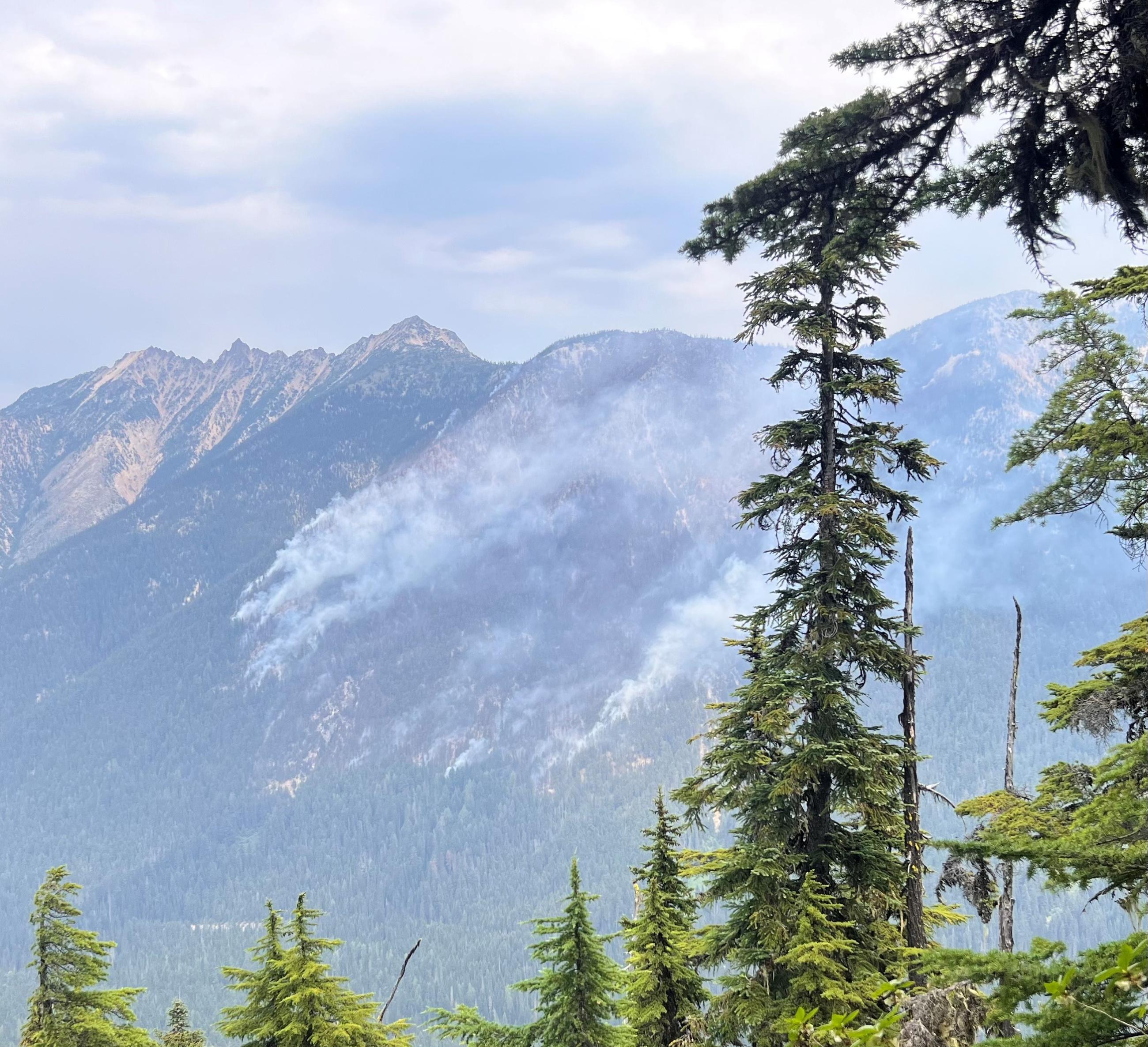
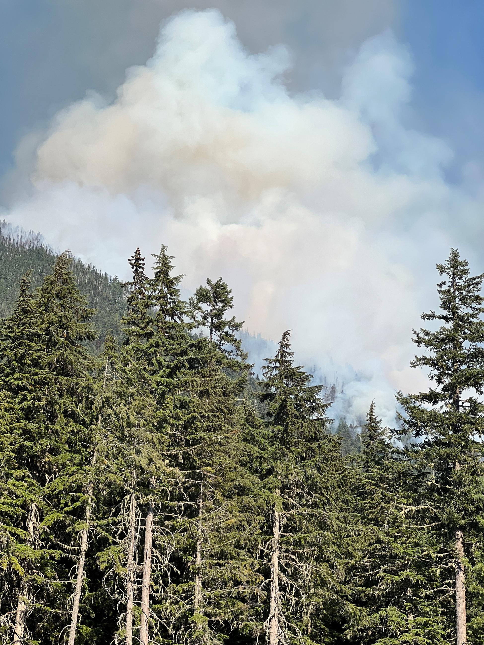
Taken from State Route 20, the fire remains on the north side of the Highway burning in timber fuels on extremely steep slopes between Mebee Pass and Mount Hardy.
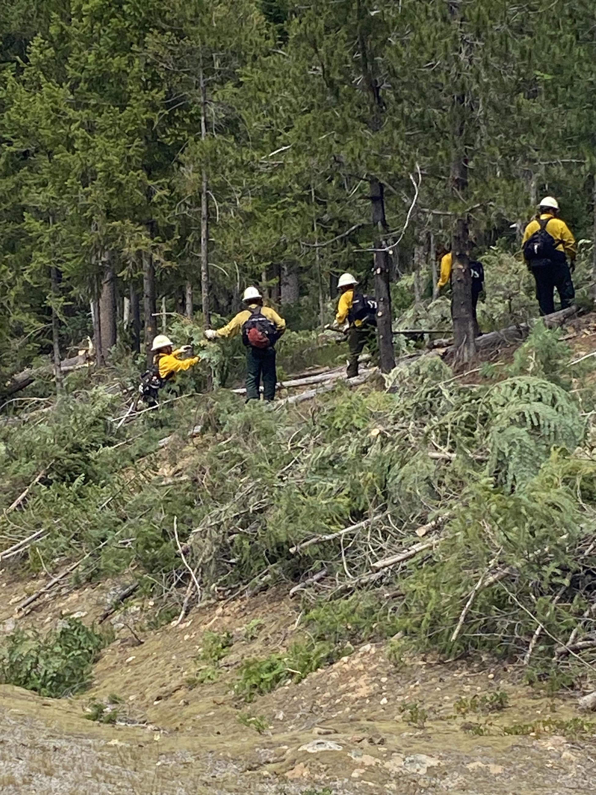
Crews remove ladder fuels from trees along road
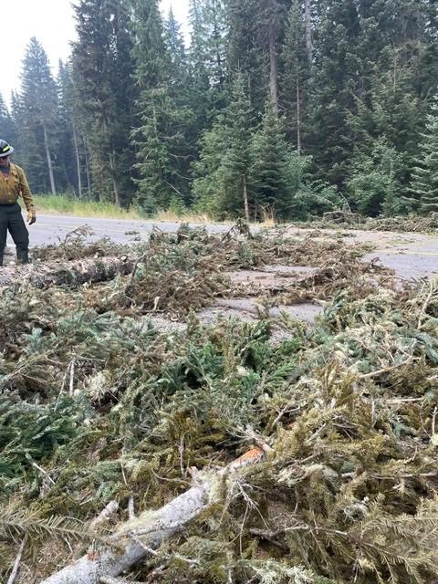
One of many hazard trees that have fallen on State Route 20
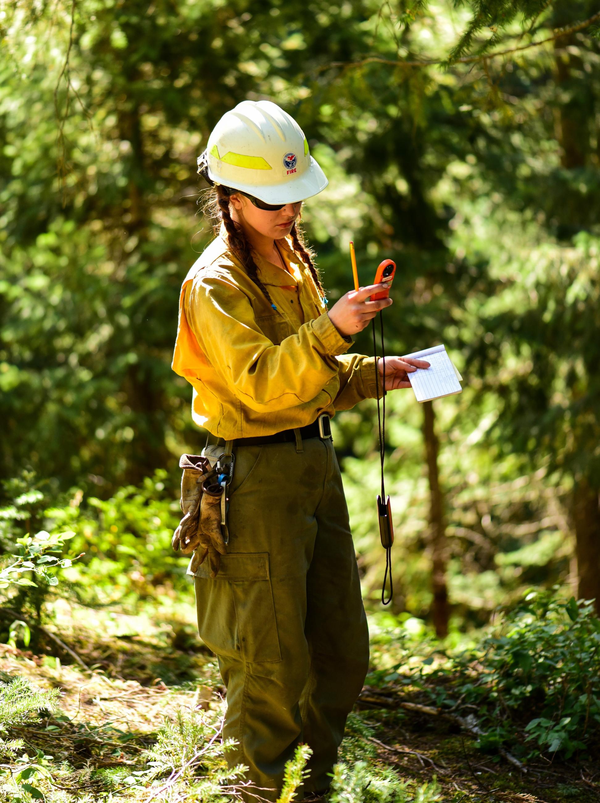
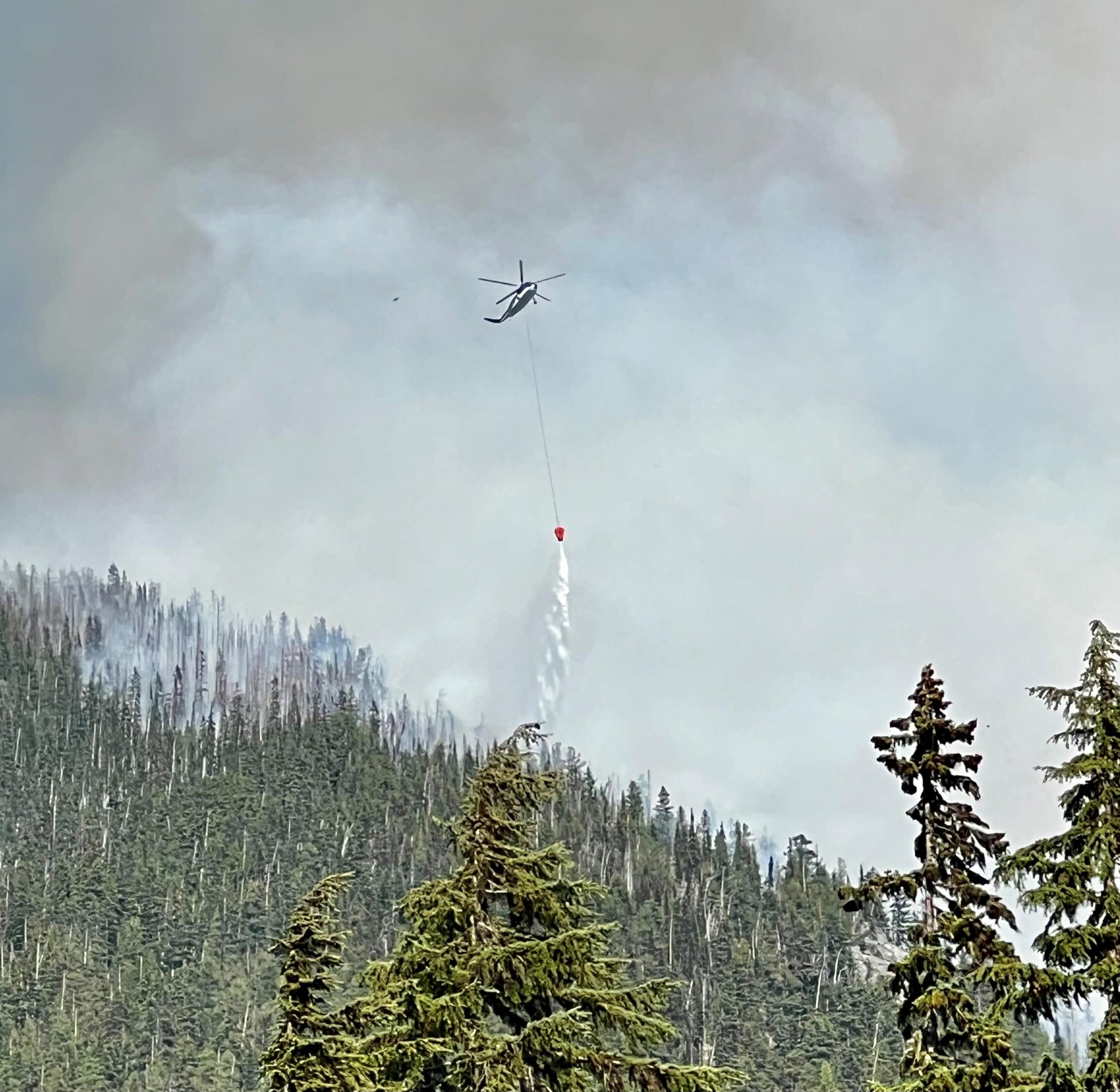
Throughout the day firefighters on the line take regular weather measurements. Weather fluctuations are forecasted on the Easy and Pioneer fire areas over the next couple days followed by warming and drying later in the week. The field measurements are shared with the incident meteorologist and this local data is used to refine the forecasts for each fire area. Localized weather forecasts, including predicted changes in wind or relative humidity, provide firefighters on the ground with information to help them anticipate changes in fire activity.
Taken on the Easy Fire; Photo credit: Landen Napier
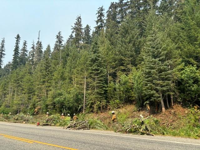
Crews clearing roadside areas of vegetation July 25
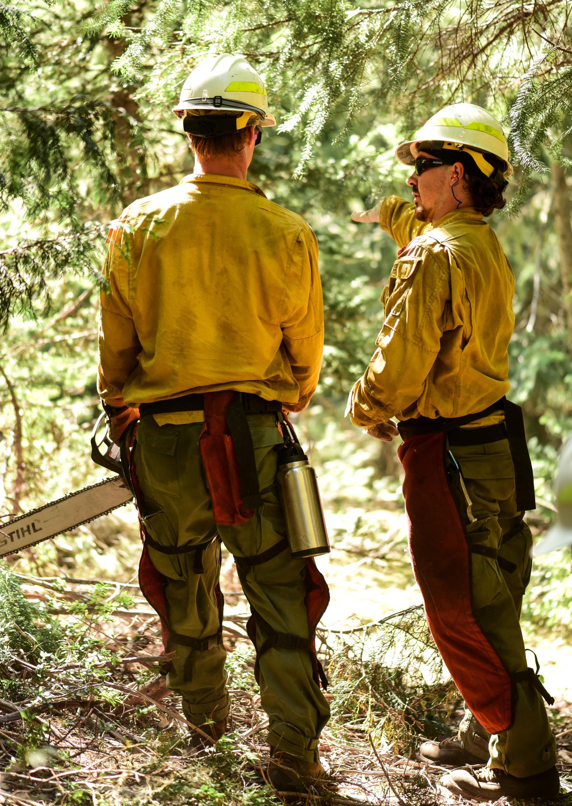
Two sawyers talking.
Photo credit: Frontline EMS Medic, Landen Napier
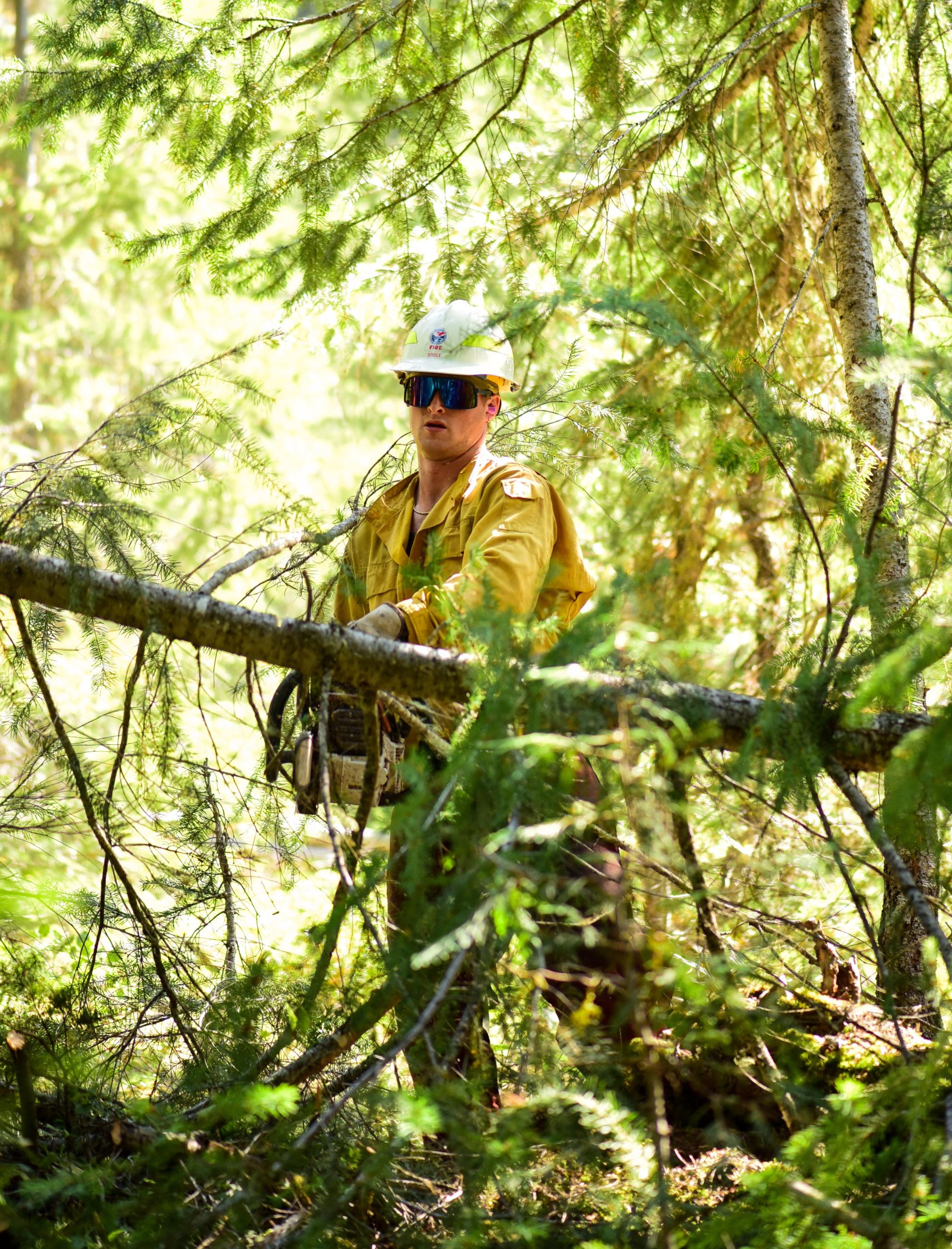
Sawyer removing downed, hazard tree.
Photo credit: Frontline EMS Medic, Landen Napier