
Incident Media Photographs
Could not determine your location.
 Wildfire
 Prescribed Fire
 Burned Area
Response
Burned Area
Response Other
Other
2023 Sourdough Fire Burned Area Emergency Response (BAER)
Unit Information
Agency Name: National Park Service
Agency Name: National Park Service
Incident Contacts
- Email:
Photographs Gallery
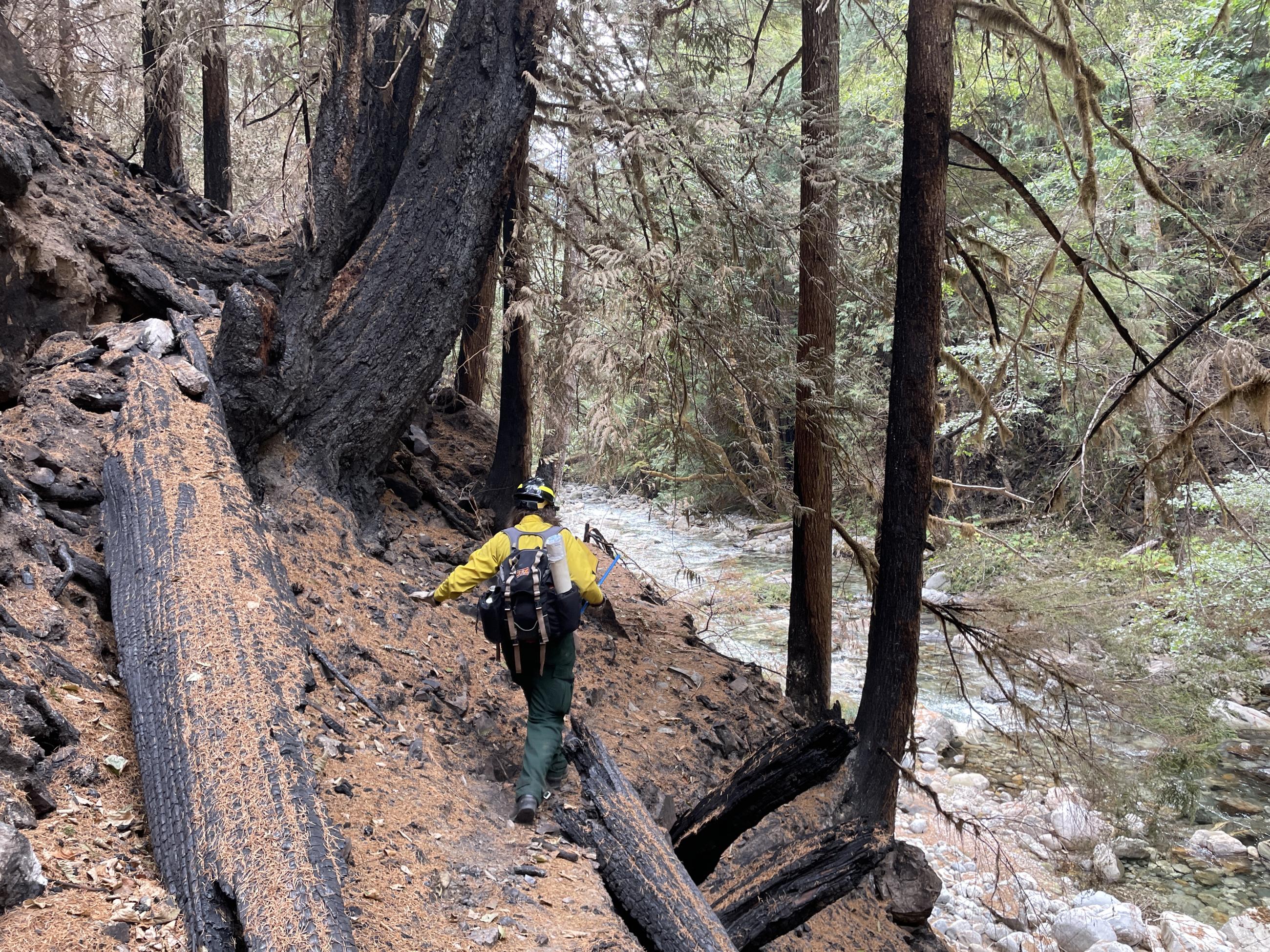
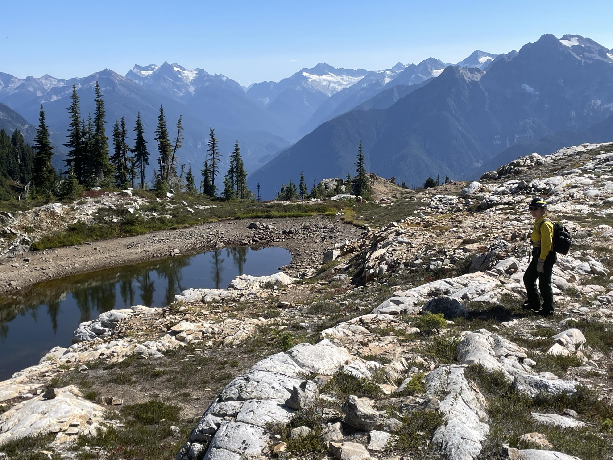
A fire ecologist on the BAER team hikes in the Stetattle Creek drainage in the Sourdough Fire footprint on September 12, 2023.
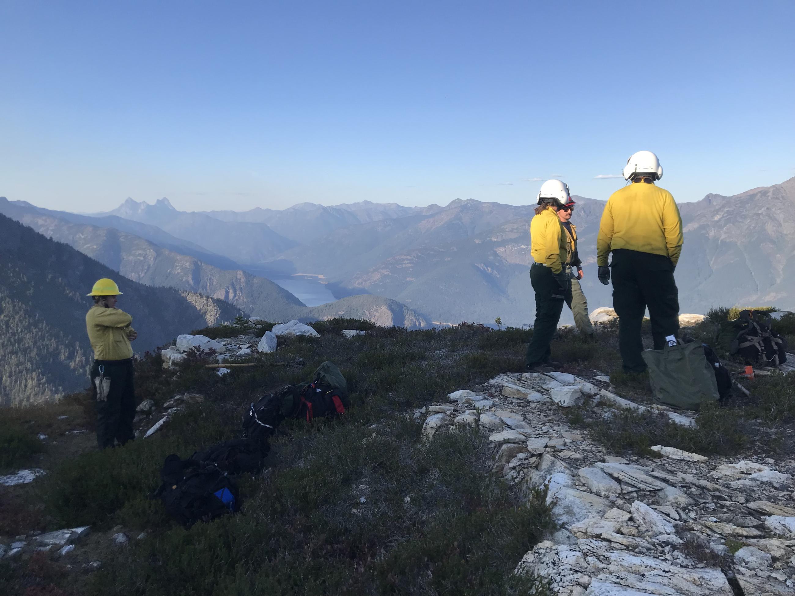
Scientists prepare to fly out of an area of the Sourdough Fire that is inaccessible by foot on September 10, 2023.
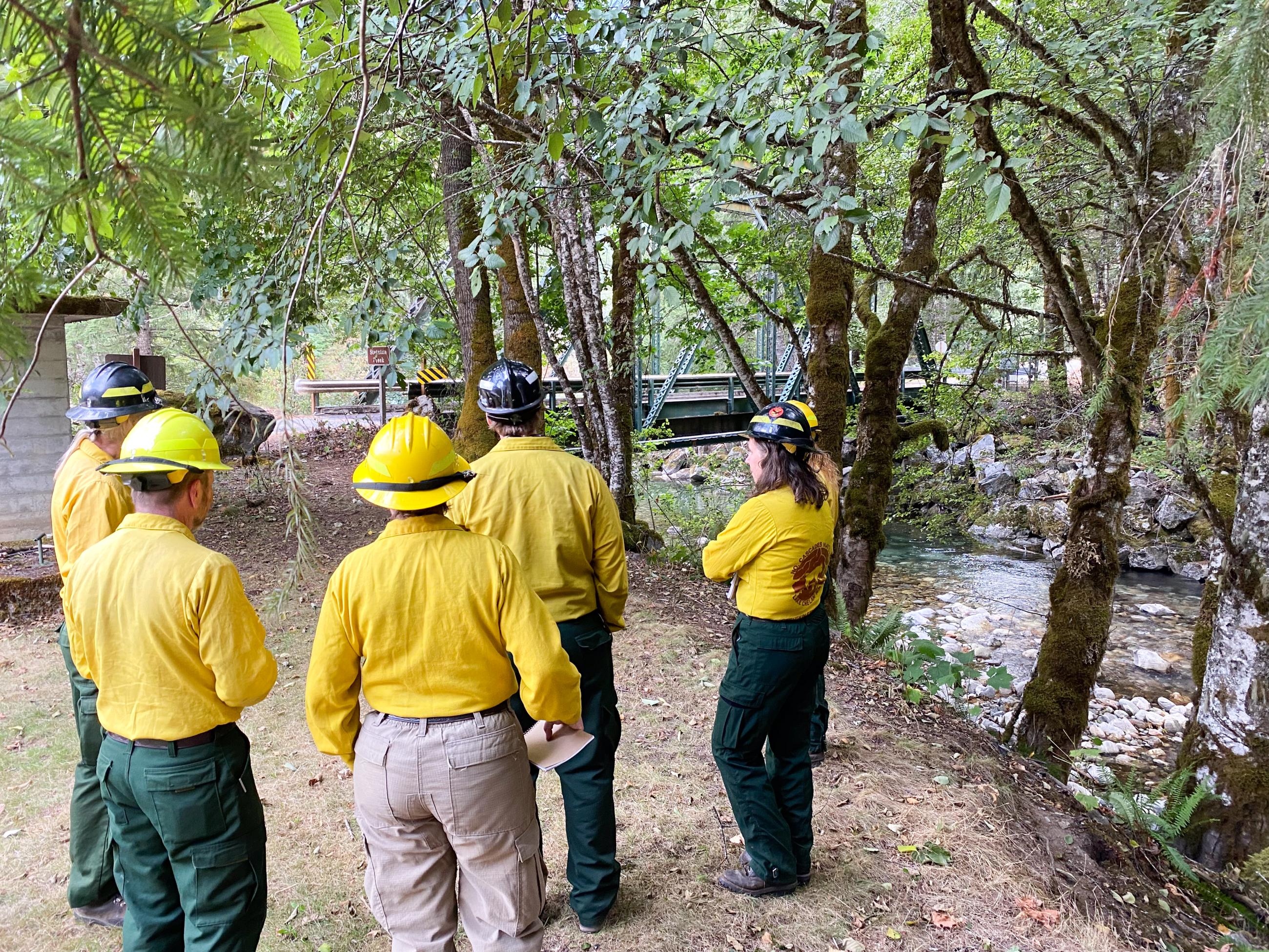
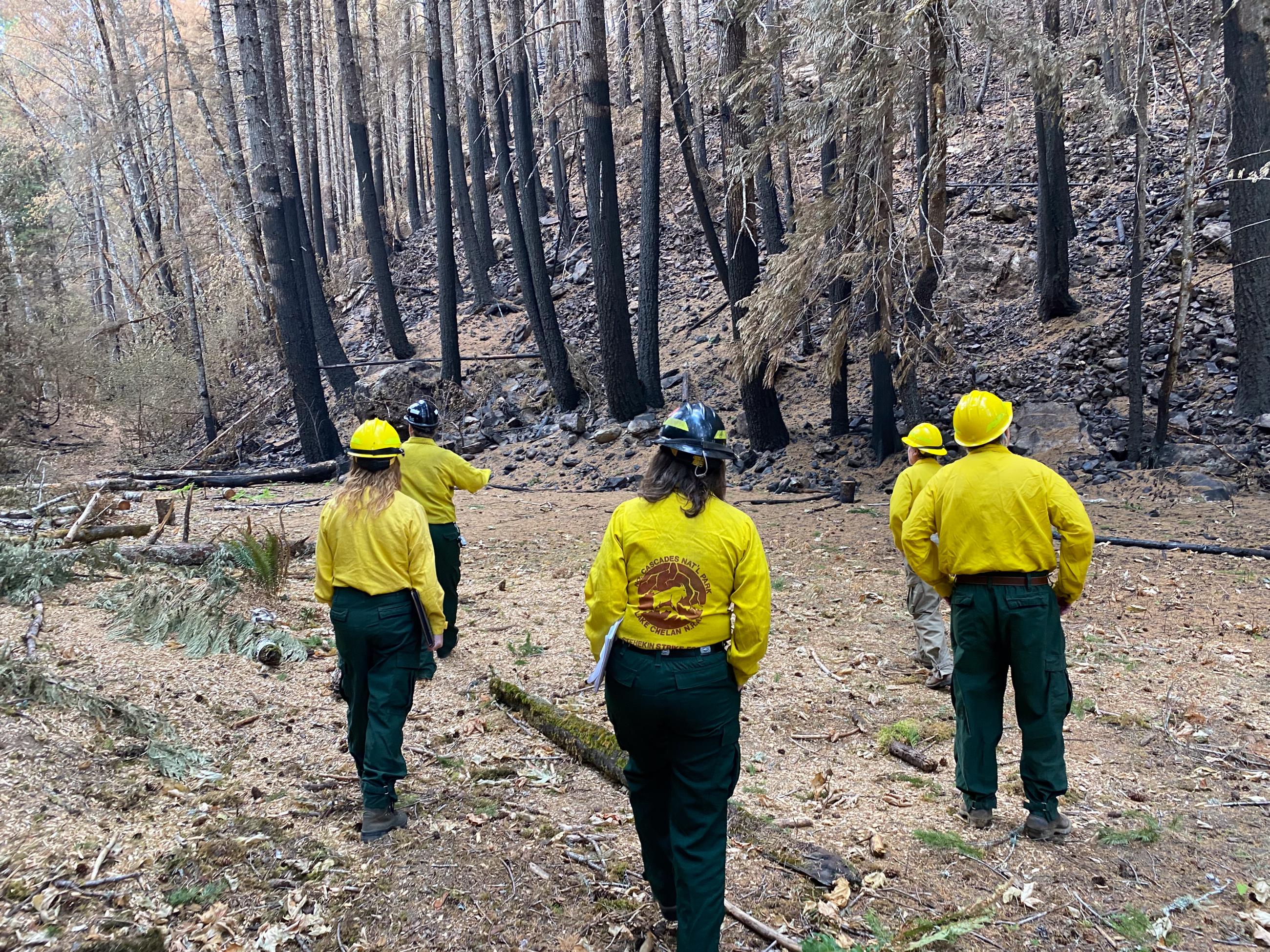
Burned Area Emergency Response scientists receive information about the Sourdough Fire from National Park Service staff on September 7, 2023.
Archaeologists survey an area within the Sourdough Fire footprint on September 9, 2023.
A vegetation ecologist surveys an area within the Sourdough Fire footprint on September 9, 2023.
A hydrologist surveys trail damage within the Sourdough Fire footprint on September 7, 2023.
A Burned Area Emergency Response scientist collects data on a damaged trail within the Sourdough Fire footprint on September 9, 2023.
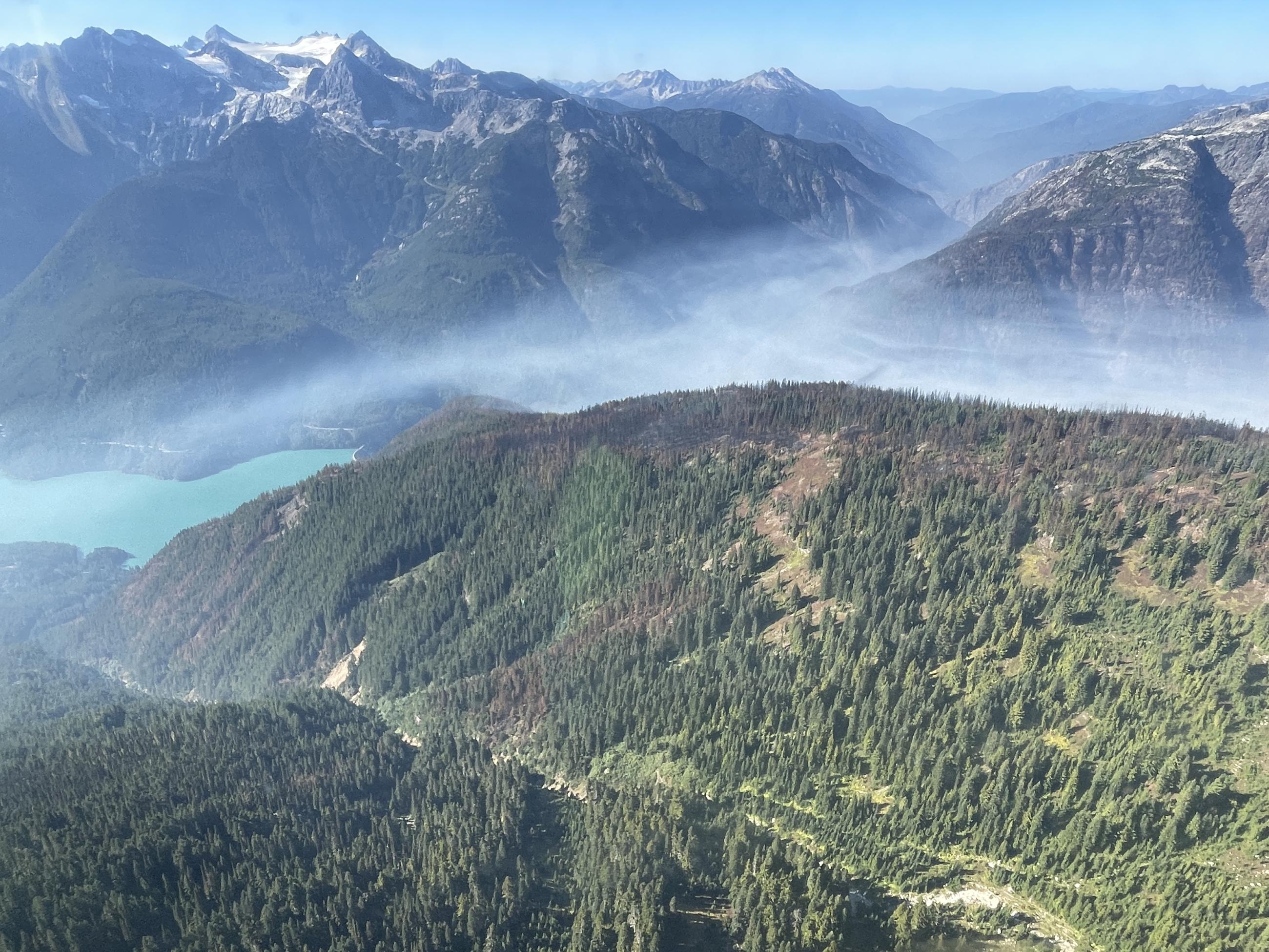
Smoke settles below Cascade Mountain peaks in the Sourdough Fire burn area on September 9, 2023.
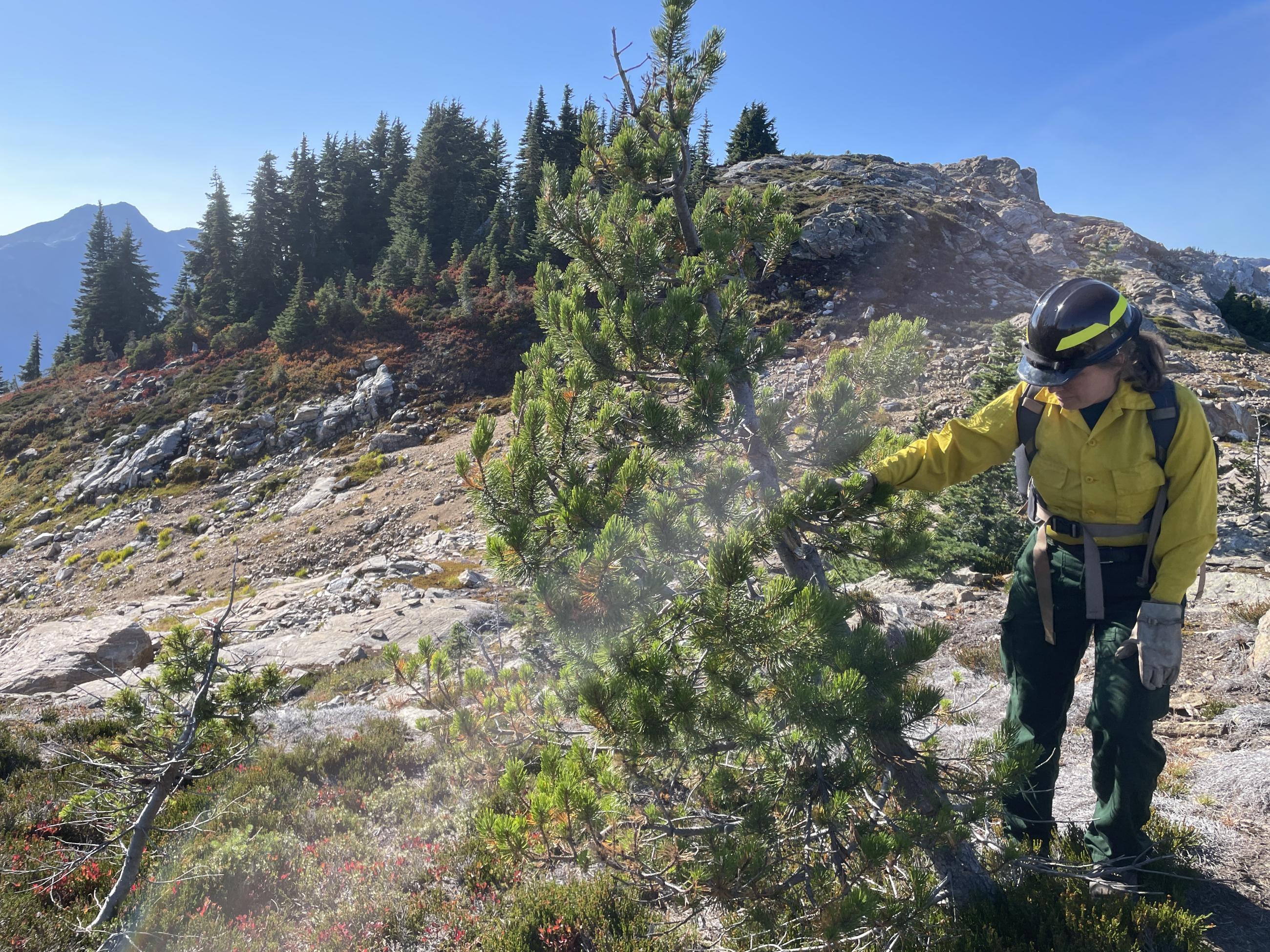
A vegetation ecologist surveys a whitebark pine tree for damage from the Sourdough Fire on September 9, 2023.
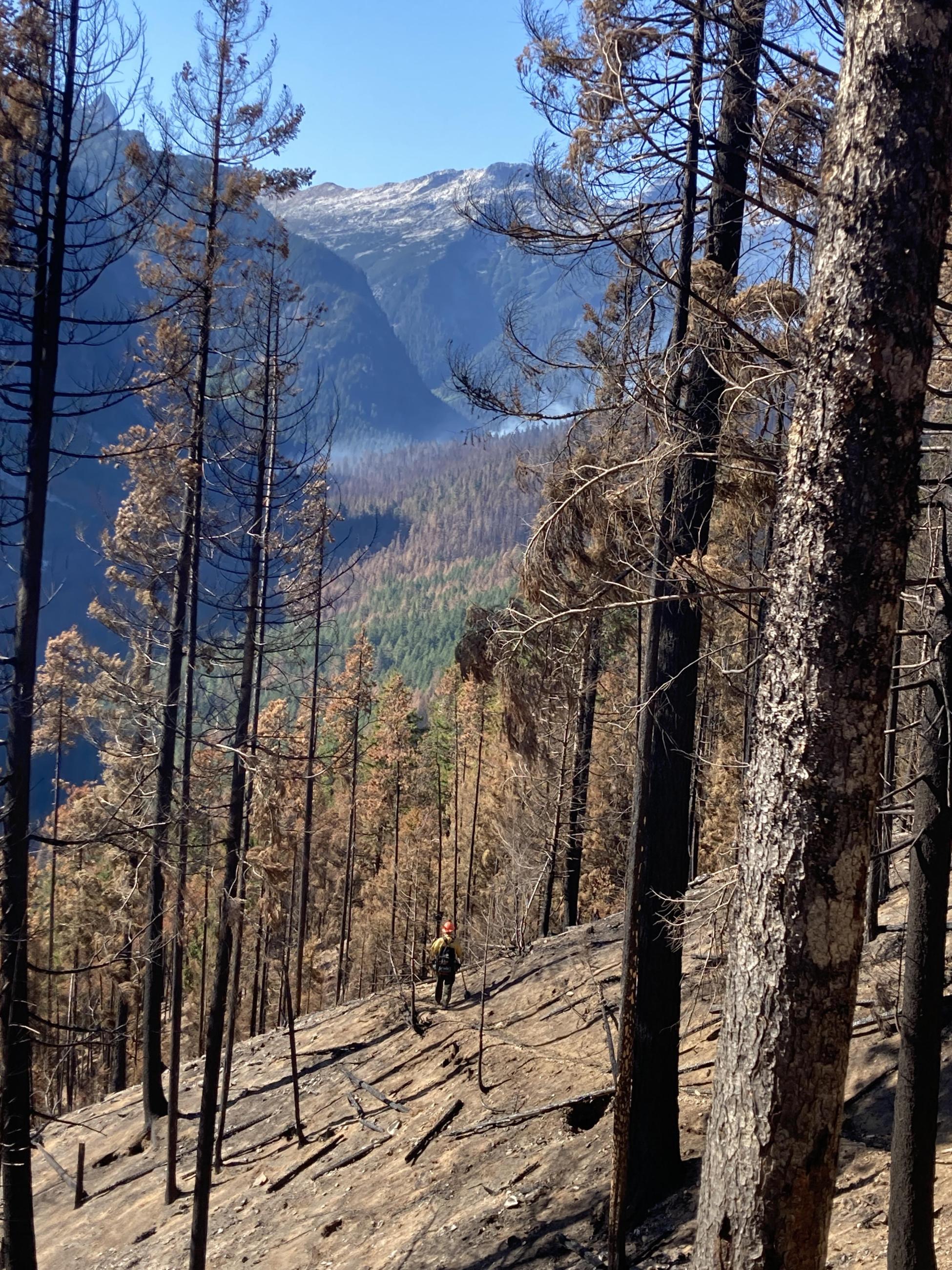
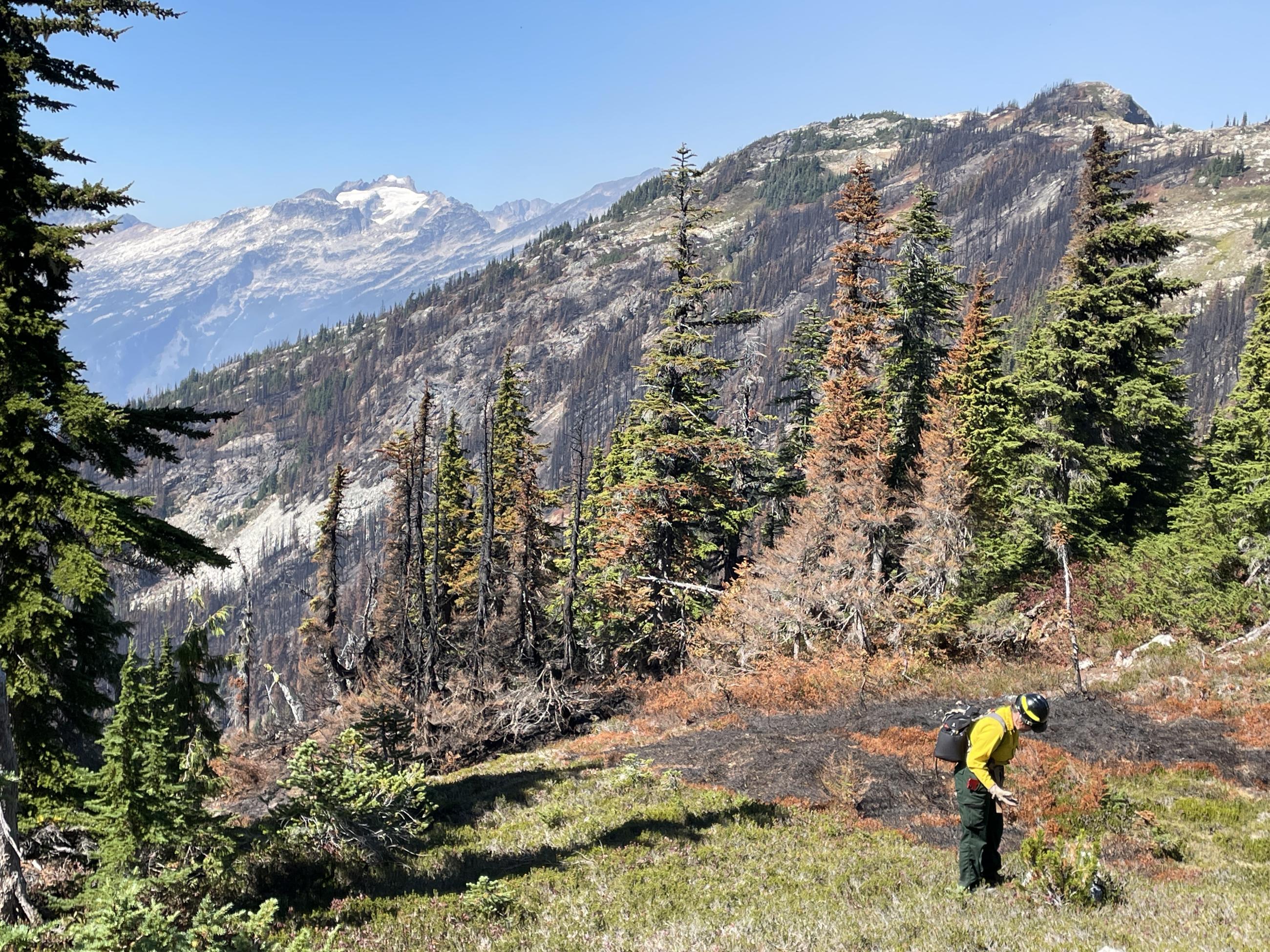
The Burned Area Emergency Response team explores fire effects within the Sourdough Fire perimeter on September 7, 2023.
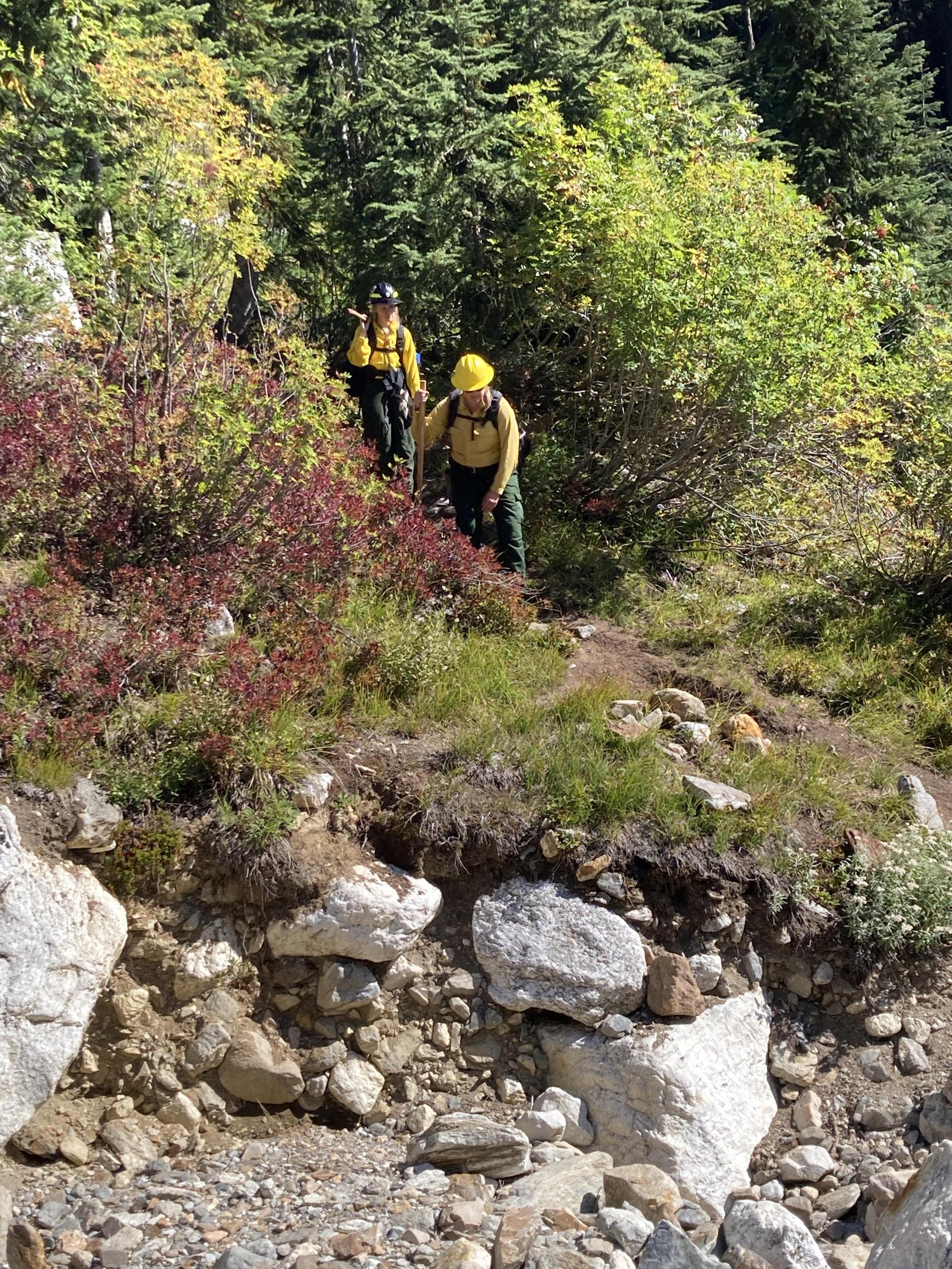
A Sourdough Fire Burned Area Emergency Response team member surveys an area on September 9, 2023.
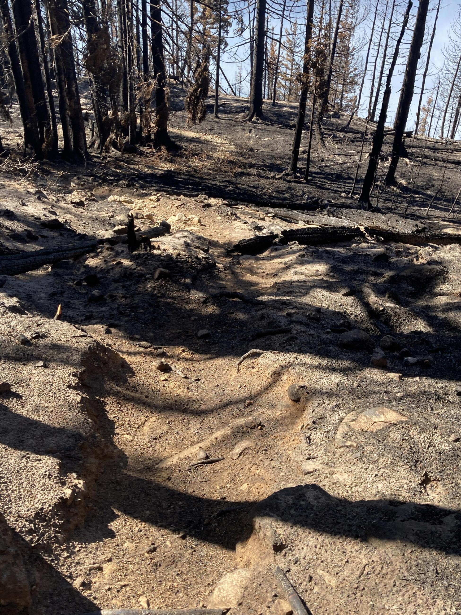
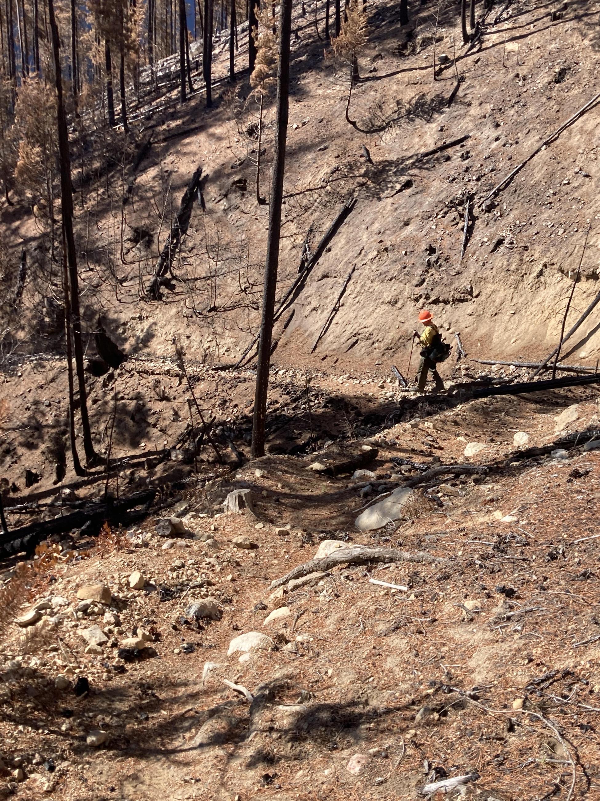
Damage to the Sourdough Mountain Trail due to the Sourdough Fire on September 9, 2023.