Incident Media Photographs
Could not determine your location.
Photographs Gallery
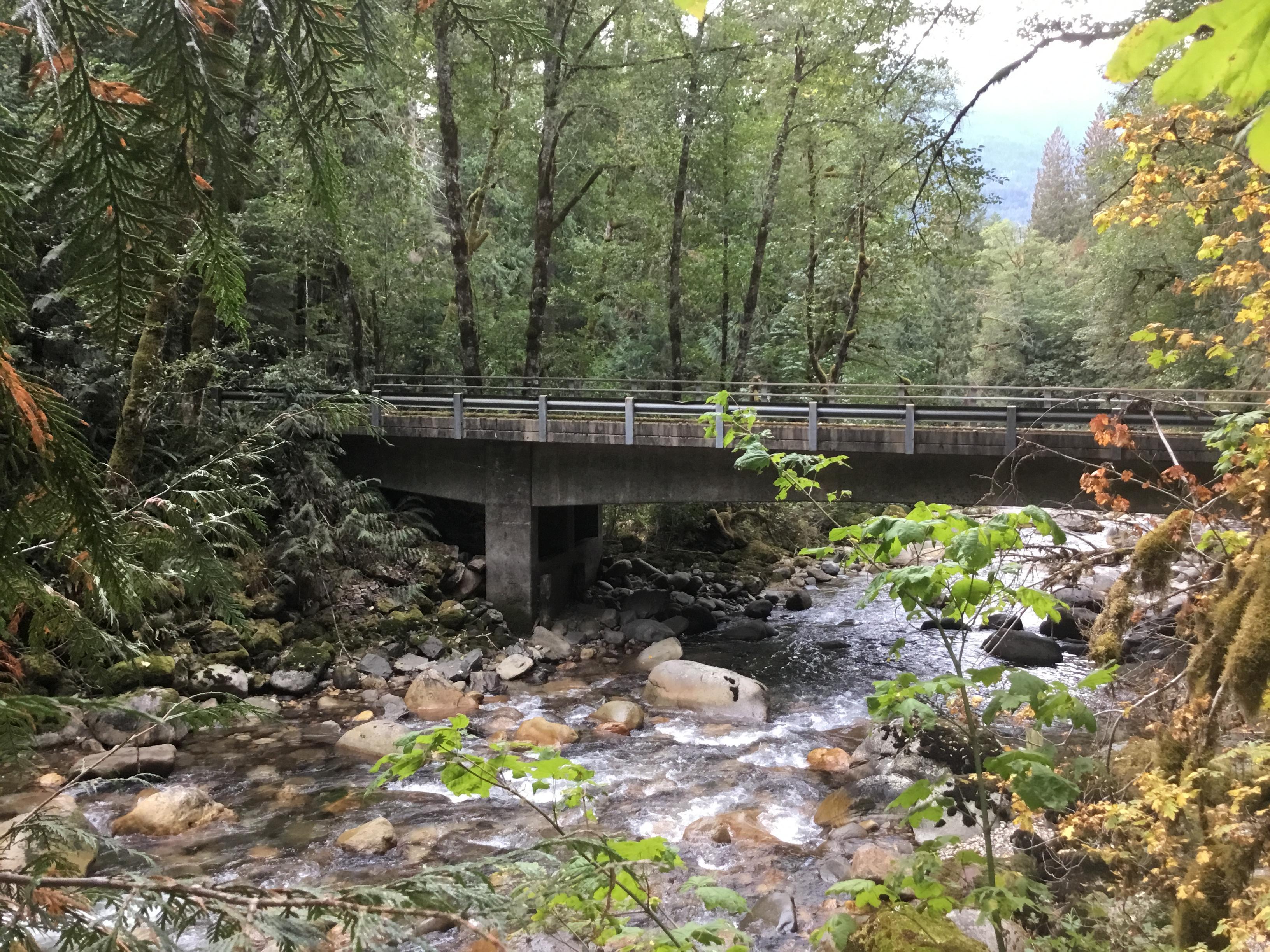
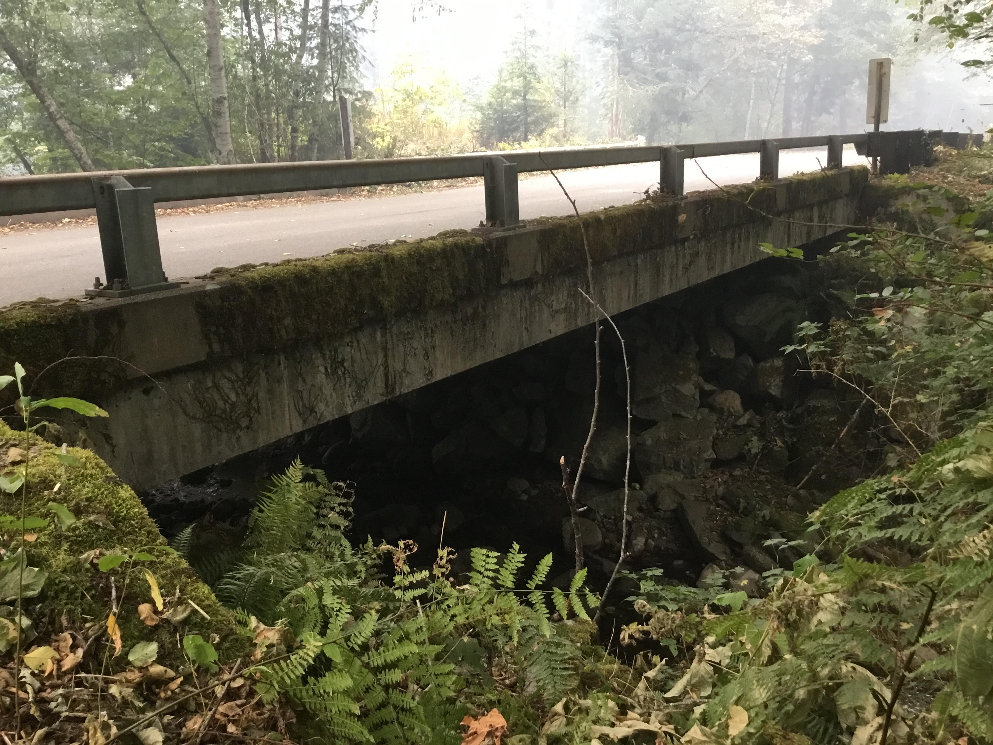
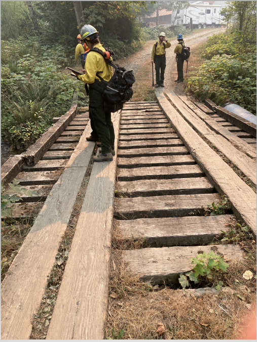
![Bridge on the Suiattle River ROad Bridge on forest road](https://inciweb-prod-media-bucket.s3.us-gov-west-1.amazonaws.com/s3fs-public/styles/max_2600x2600/public/2022-10/2022_10_01-10.15.58.789-CDT.jpeg?itok=qS4alGpj)
Bridges are one example of structures a BAER team will assess for potential post-fire impacts
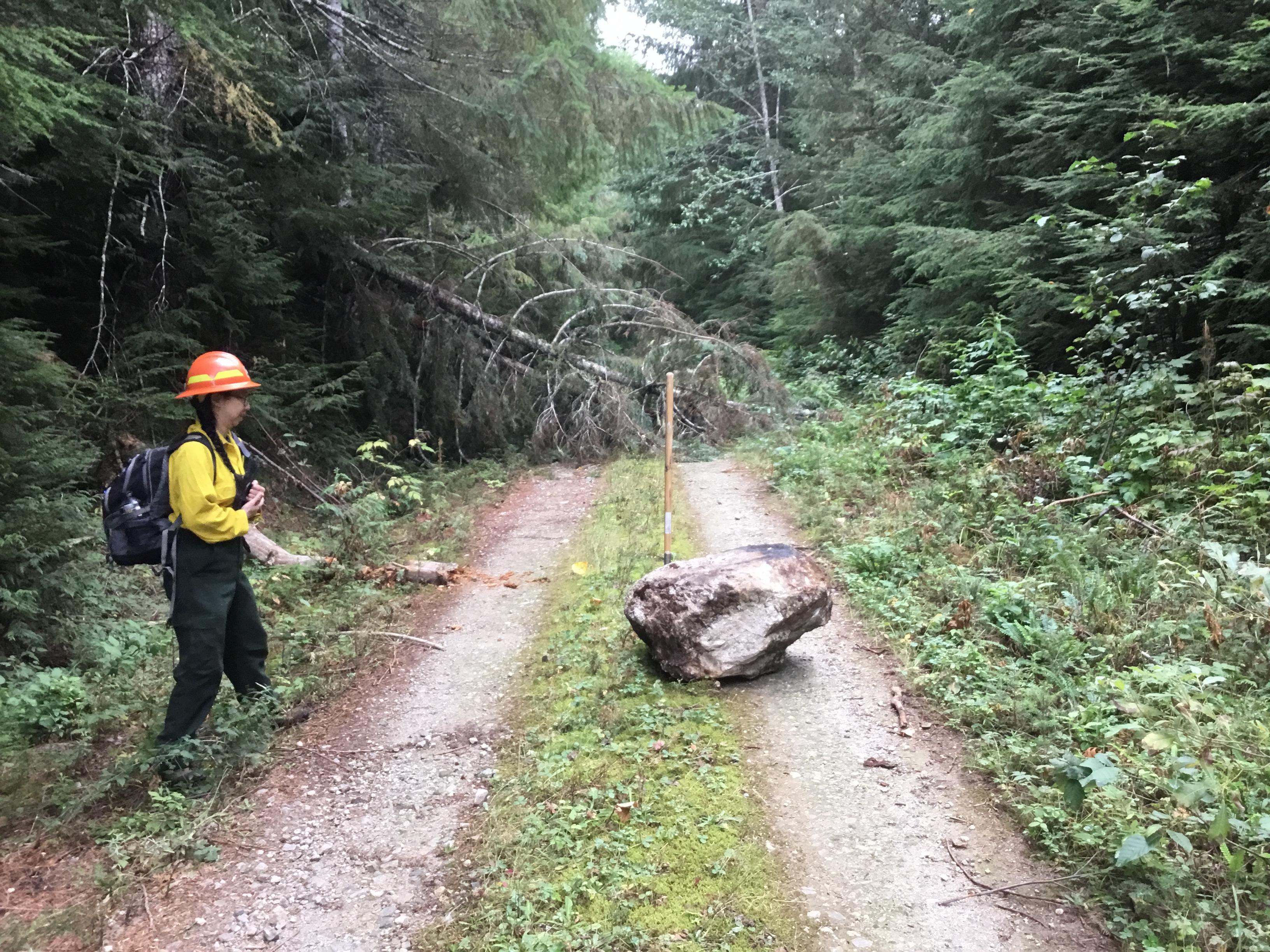
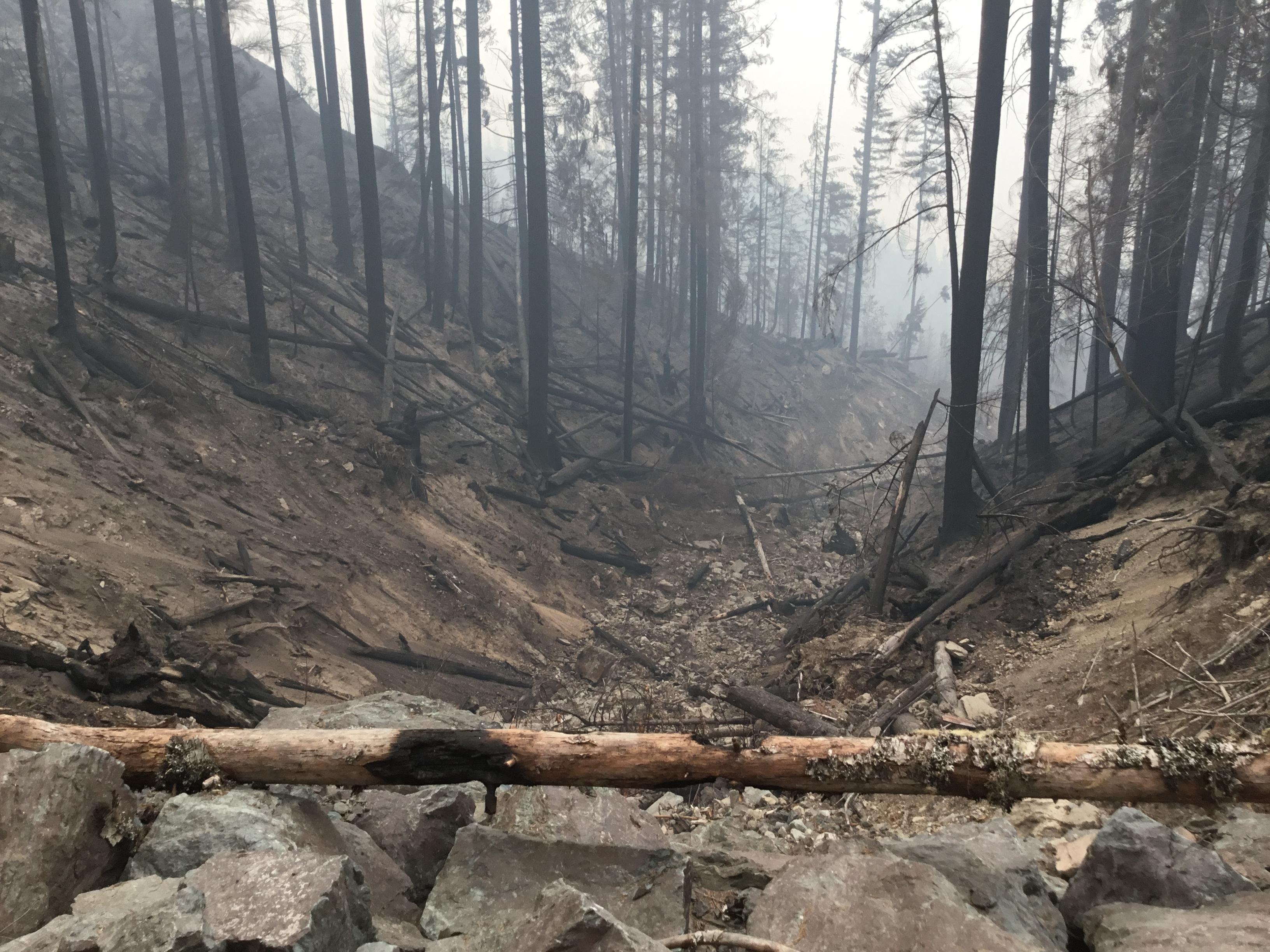
![Rock fall on forest road Rock and tree across forest road](https://inciweb-prod-media-bucket.s3.us-gov-west-1.amazonaws.com/s3fs-public/styles/max_2600x2600/public/2022-10/2022_10_01-10.18.29.721-CDT.jpeg?itok=i9X0MSqC)
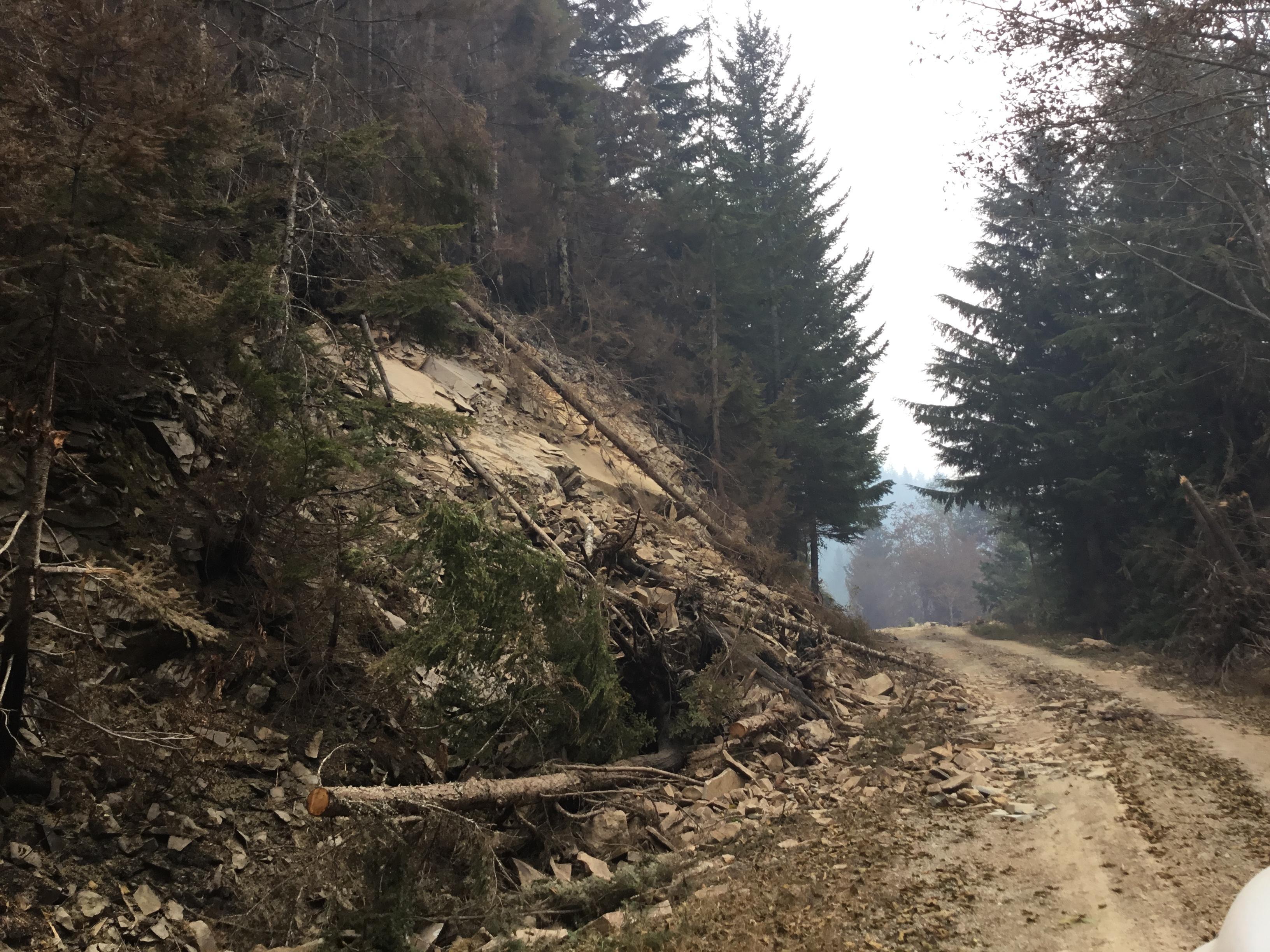
Increased rock fall is one post-fire impact. Here a large rock has rolled downhill from a burned area.
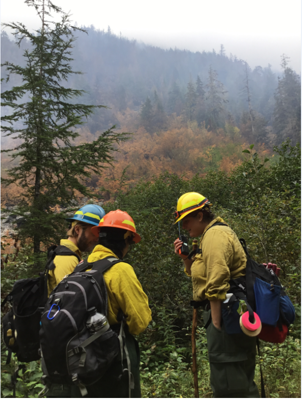
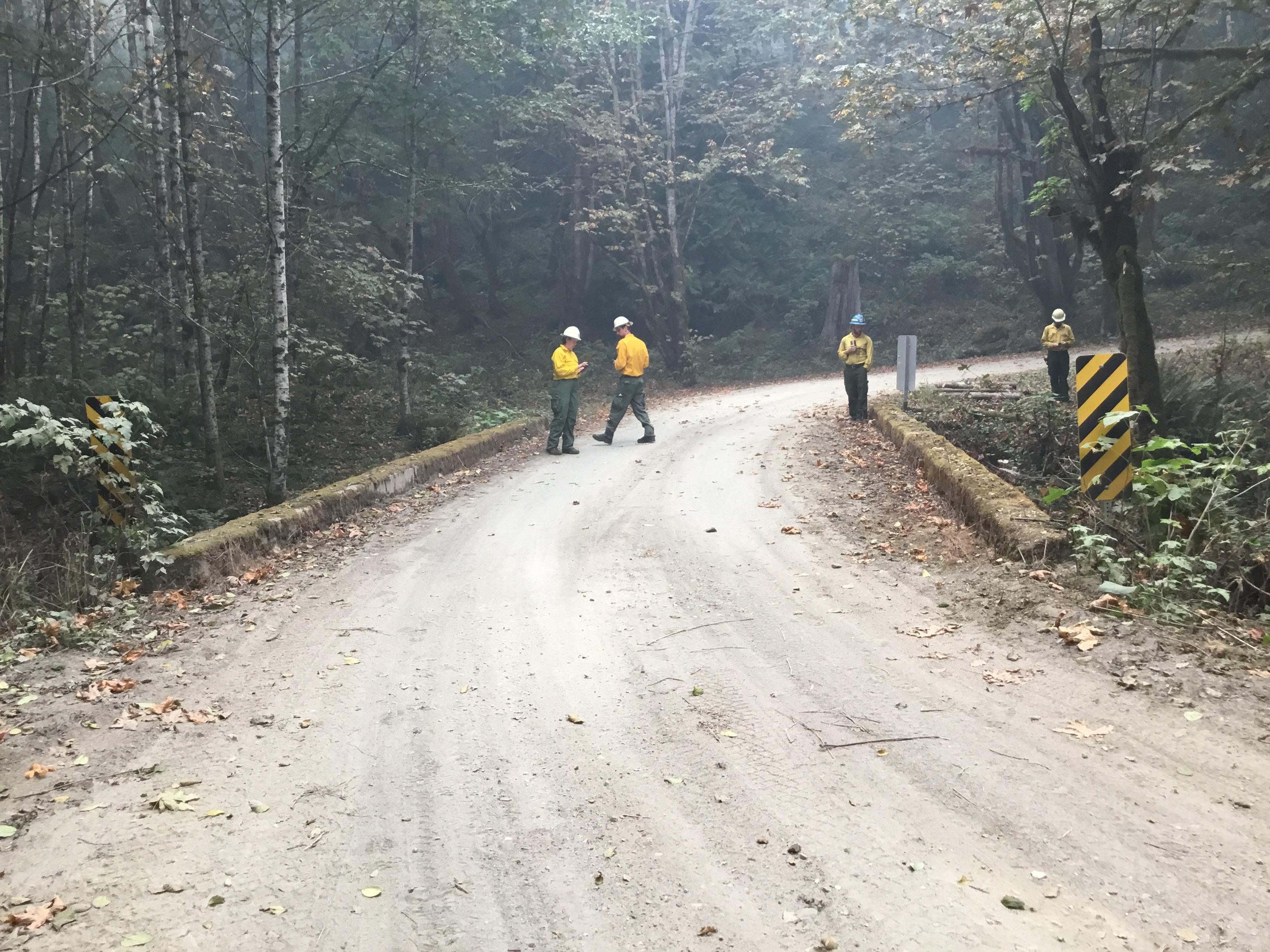
![BAER Team specialists near the Suiattle River Fire personnel in the field](https://inciweb-prod-media-bucket.s3.us-gov-west-1.amazonaws.com/s3fs-public/styles/max_2600x2600/public/2022-10/2022_10_01-10.25.03.794-CDT.png?itok=Si992yh6)
BAER team conducting field assessments
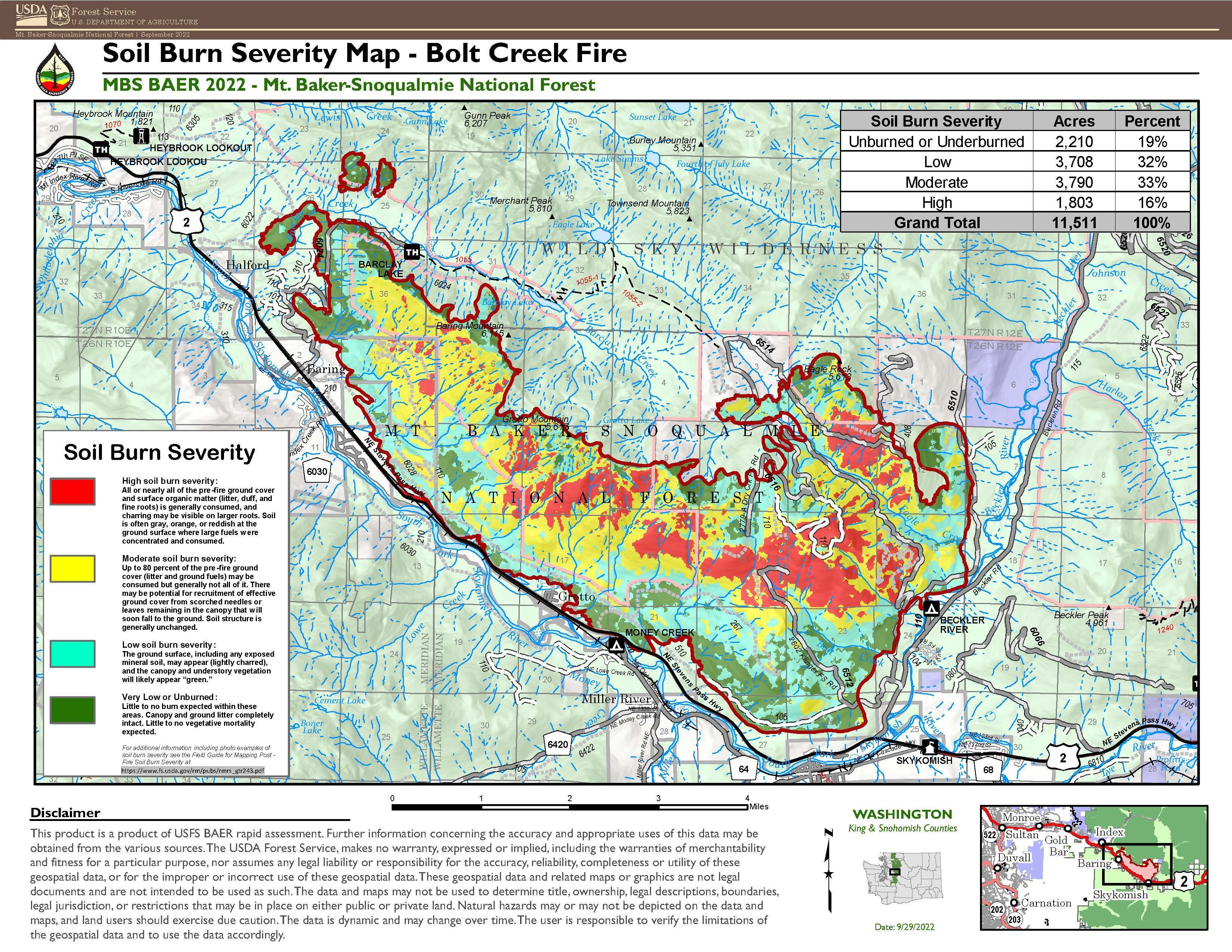
![Bolt Creek Fire Soil Burn Severity Map Soil Burn Severity Map - Bolt Creek Fire](https://inciweb-prod-media-bucket.s3.us-gov-west-1.amazonaws.com/s3fs-public/styles/max_2600x2600/public/2022-10/2022_09_30-12.07.00.644-CDT.jpeg?itok=C87e49Ip)
This map shows soil burn severity levels across different areas of the Bolt Creek Fire perimeter
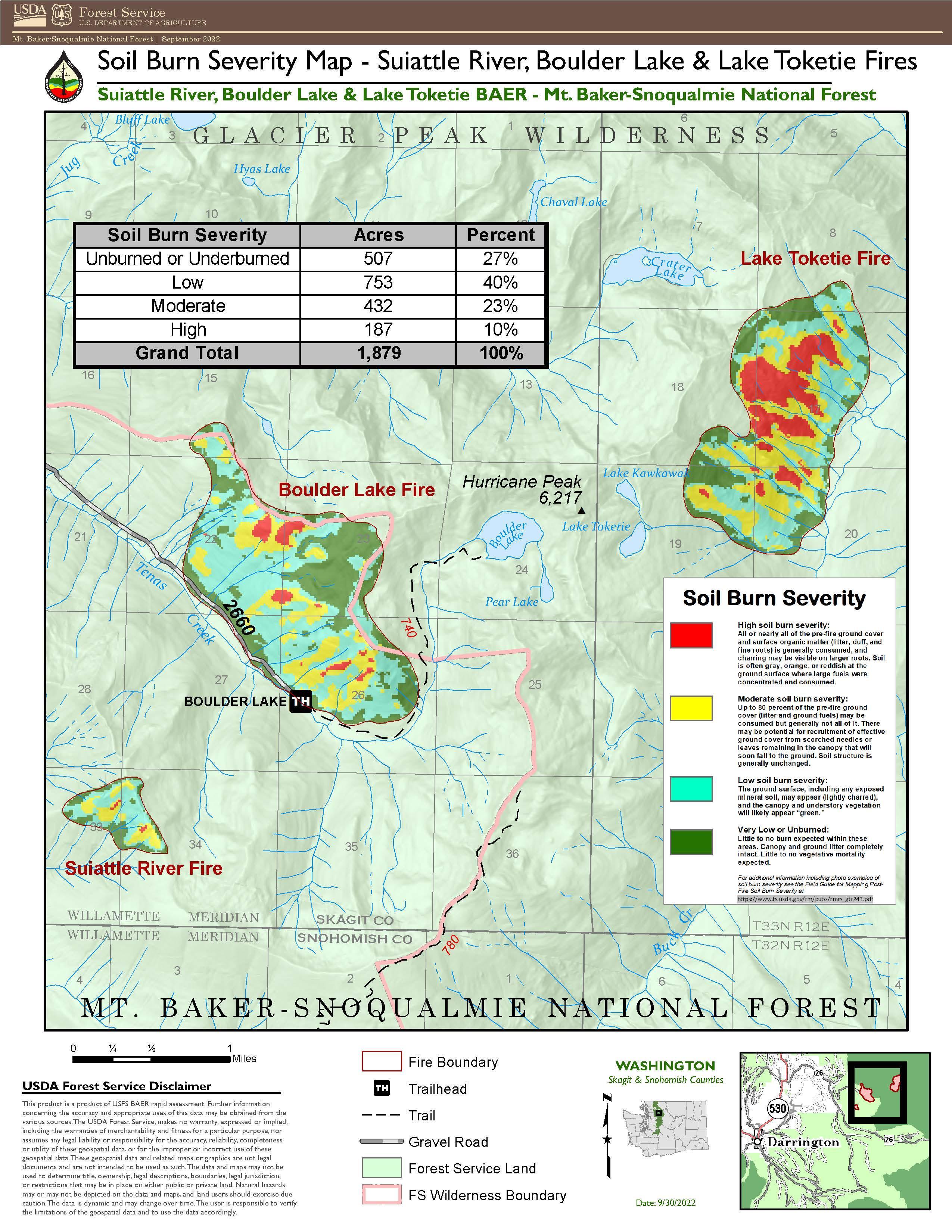
![Soil Burn Severity Map Soil burn severity map for Suiattle River Fire, Lake Tokeitie Fire and Boulder Lake Fire](https://inciweb-prod-media-bucket.s3.us-gov-west-1.amazonaws.com/s3fs-public/styles/max_2600x2600/public/2022-10/2022_09_30-18.09.58.238-CDT.jpeg?itok=H3iI6xqt)
This map shows soil burn severity levels across different areas of the Suiattle River, Boulder Lake and Lake Toketie Fires