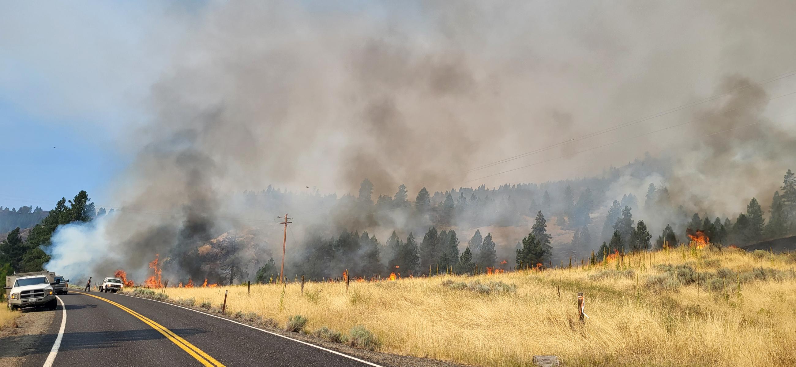
Incident Media Photographs
Could not determine your location.
Swawilla Fire
Unit Information
Incident Contacts
- SA Blue Incident Management TeamEmail:Phone:509-800-7550Hours:8am - 6pm Daily
Photographs Gallery
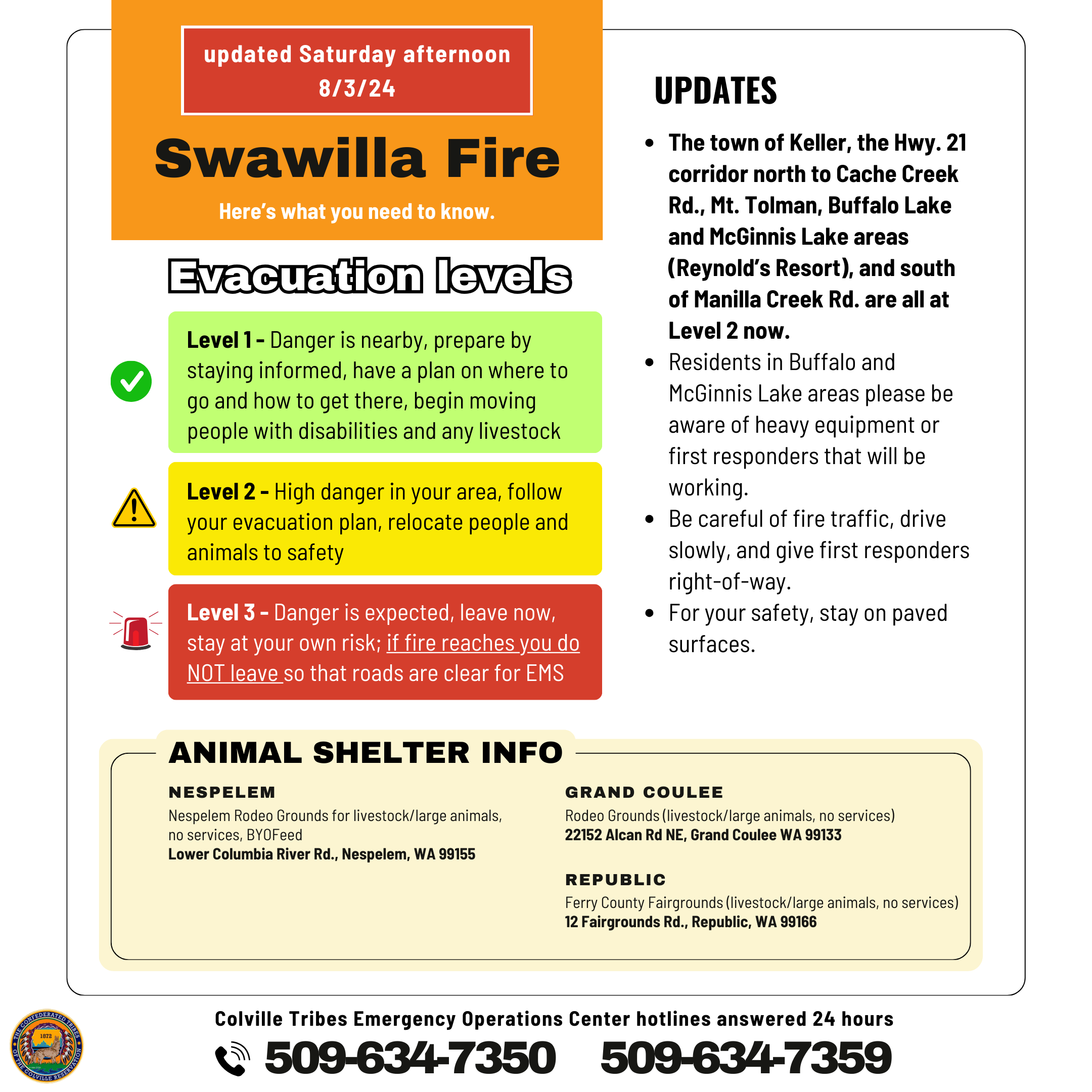
The town of Keller, the Hwy. 21 corridor north to Cache Creek Rd., Mt. Tolman, Buffalo Lake and McGinnis Lake areas (Reynolds Resort), and south of Manilla Creek Rd. are all at Level 2.
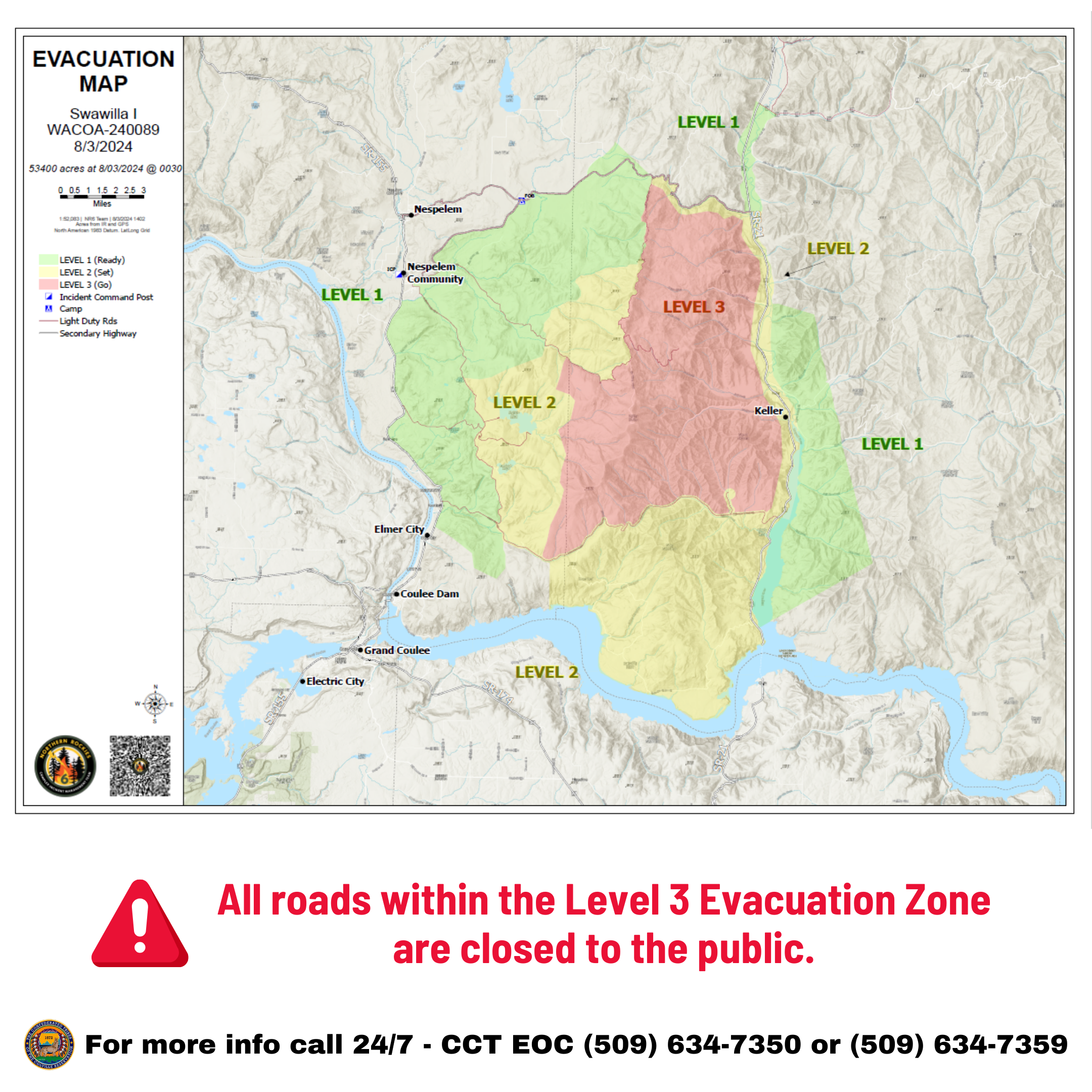
The town of Keller, the HWY. 21 corridor north to Cache Creek Rd., Mt. Tolman, Buffalo Lake and McGinnis Lake areas (Reynolds Resort), and south of Manilla Creek Rd. are all at Level 2 now.
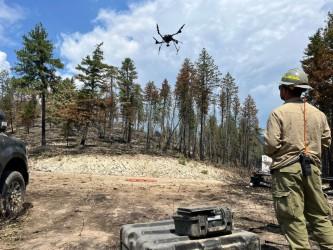
UAS (Drones) make for an efficient and safe burning operation. These UAS system drop ignition sources to the ground, making it safer for firefighters.
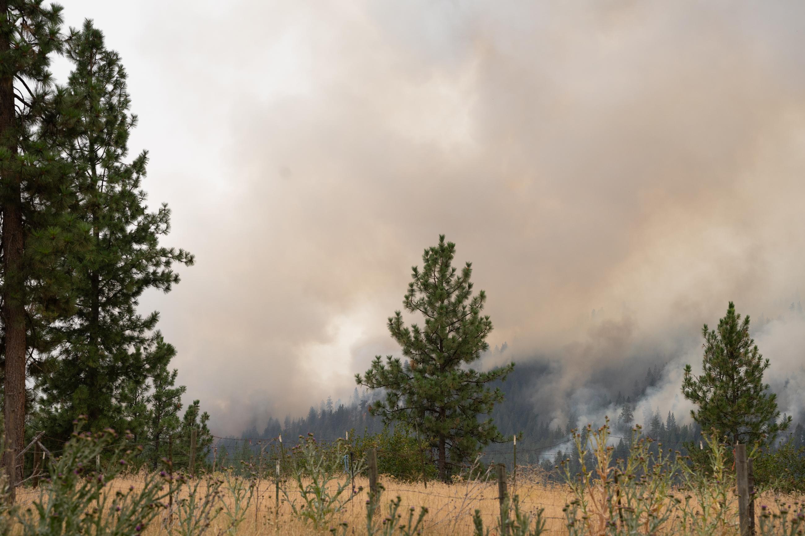
Smoke from Swawilla fire coming off Mt. Tolman
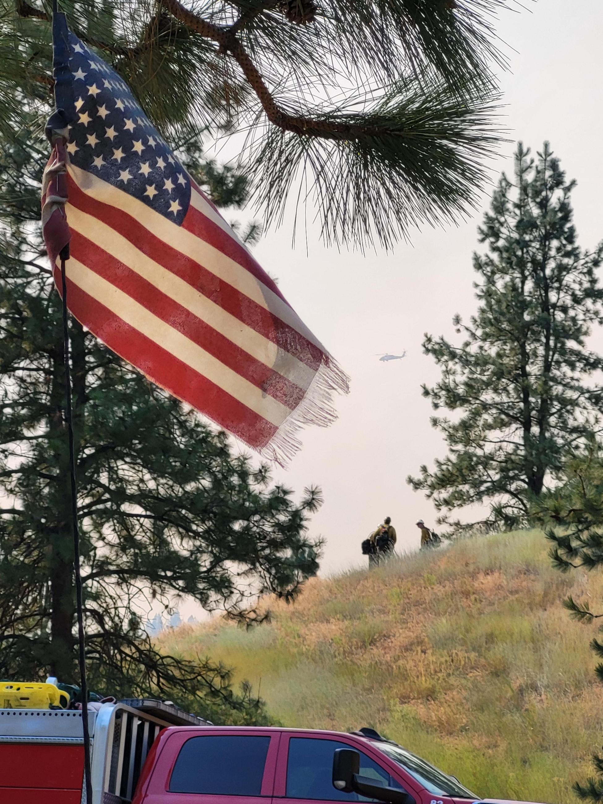
American Flag with firefighters on the Swawilla Fire - photo credit Kylie England
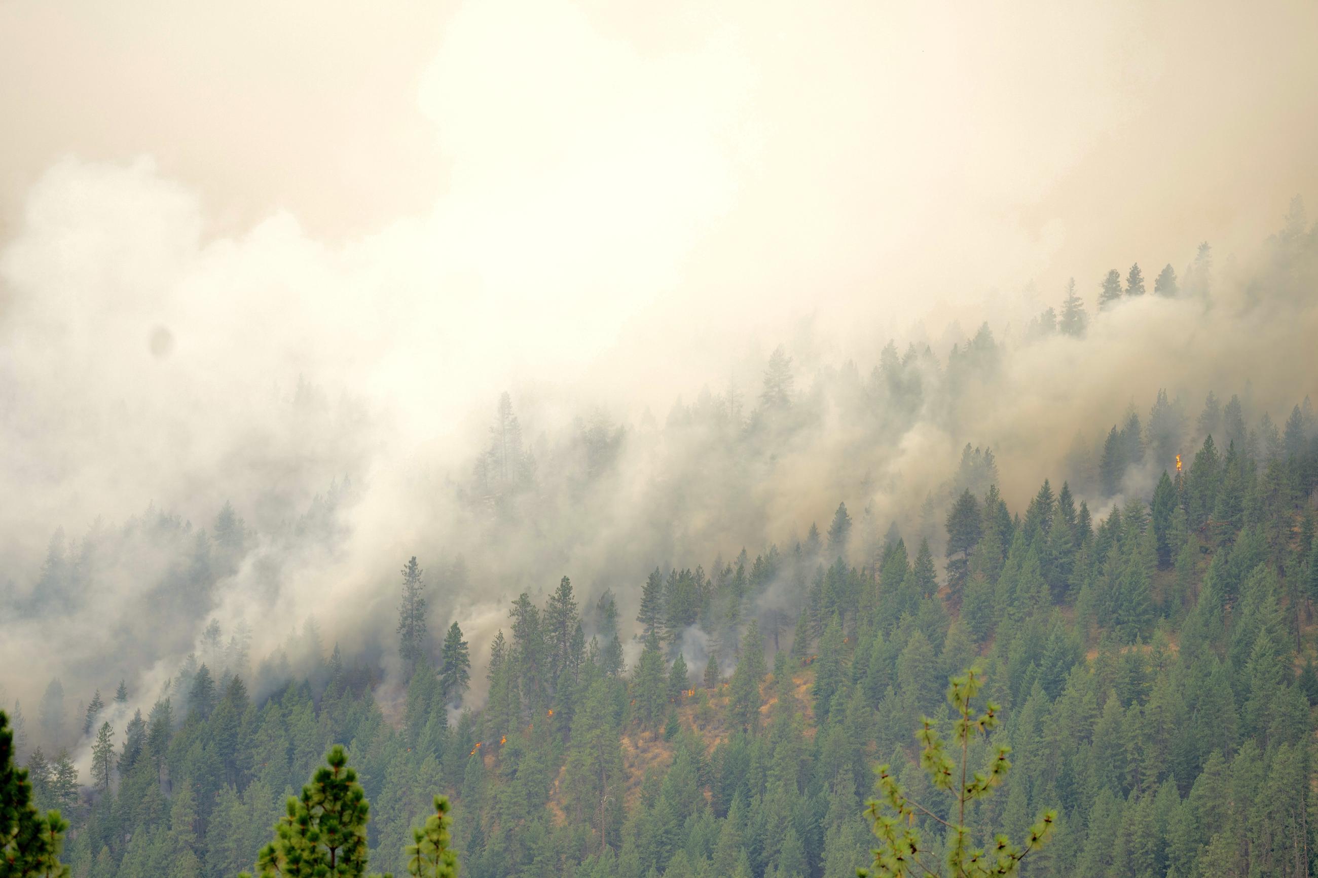
Fire Burning down Mt. Tolman
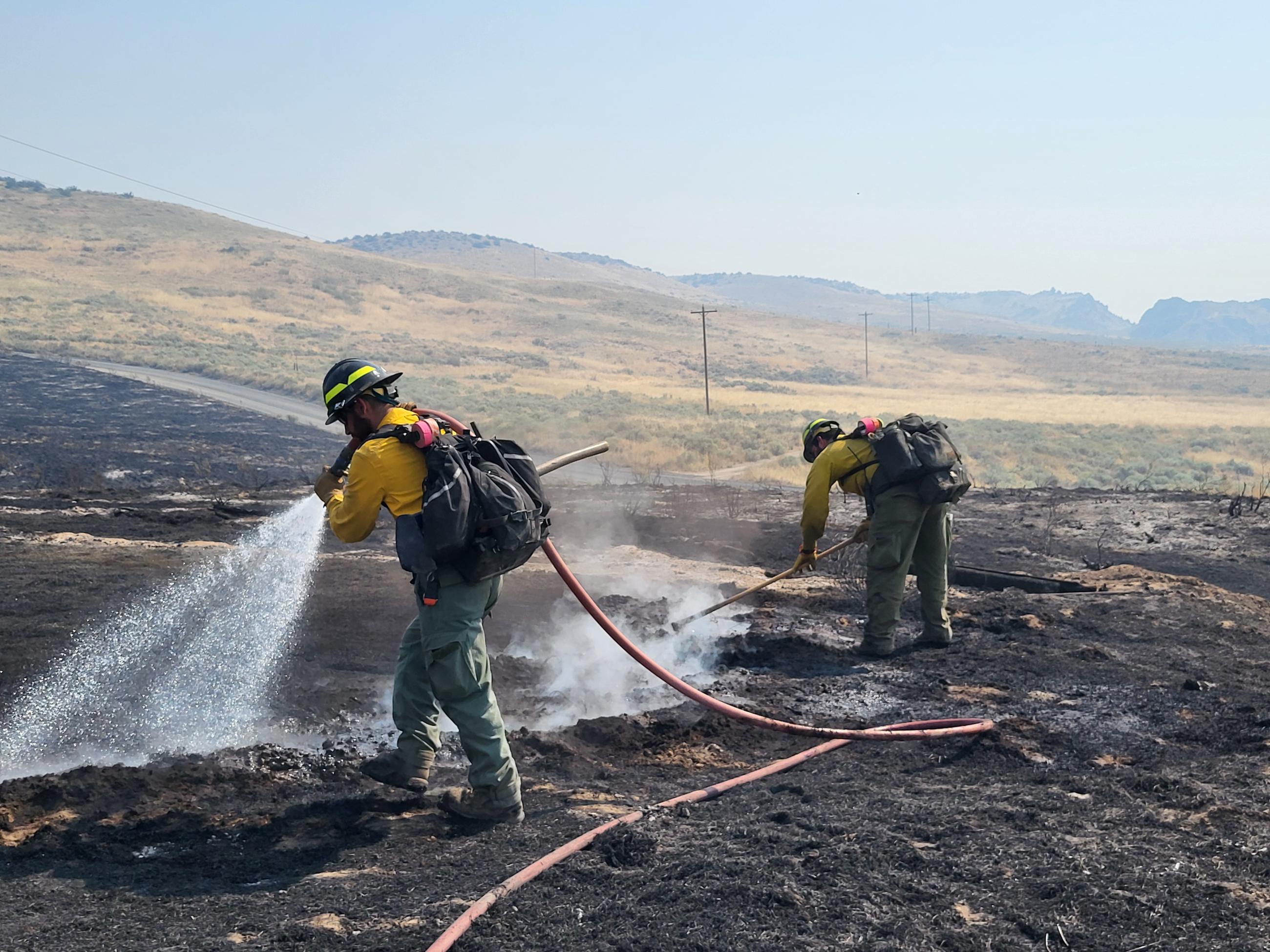
Firefighters mopping up on the Swawilla Fire- photo credit Kylie England
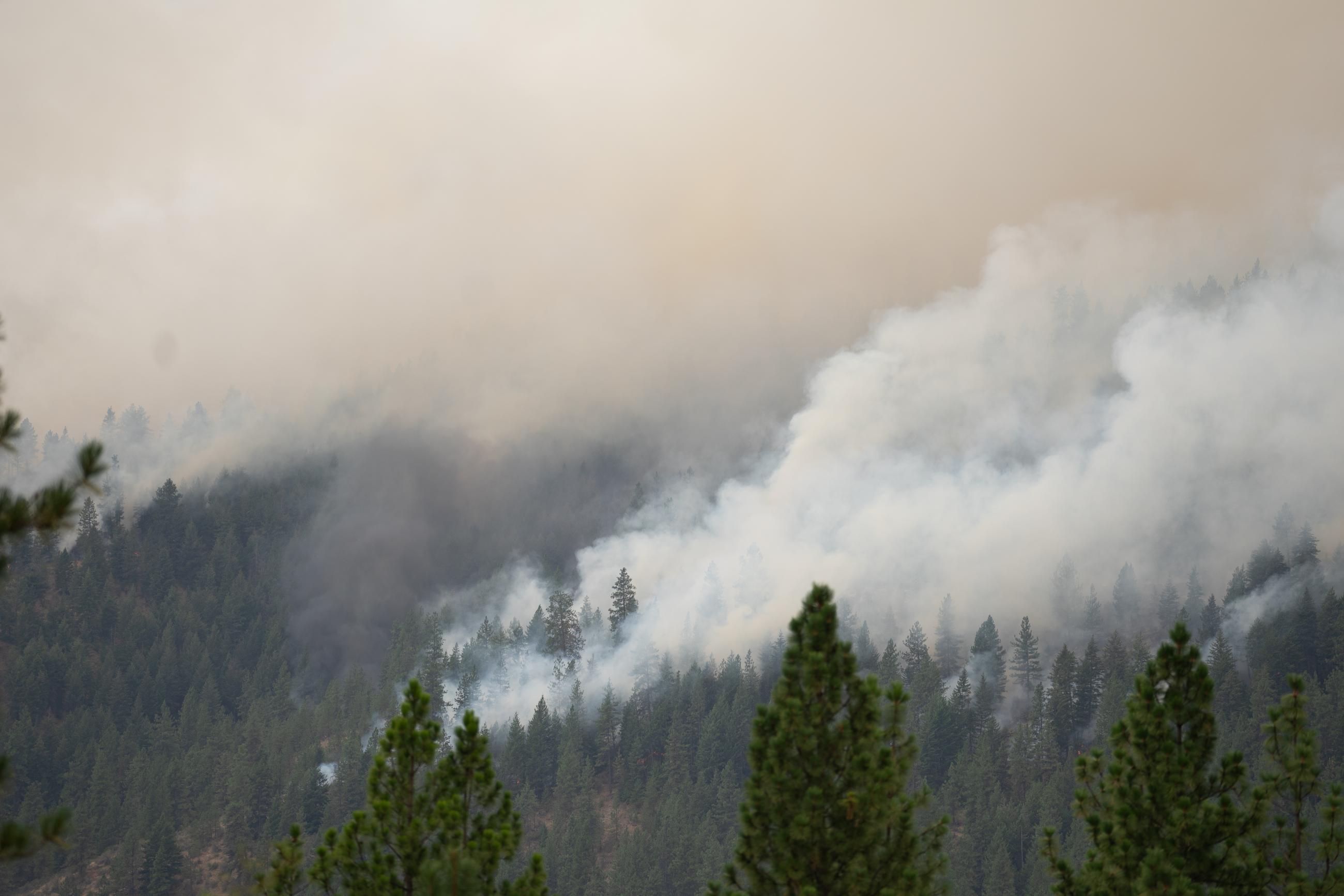
Swawilla fire burning down Mt. Tolman
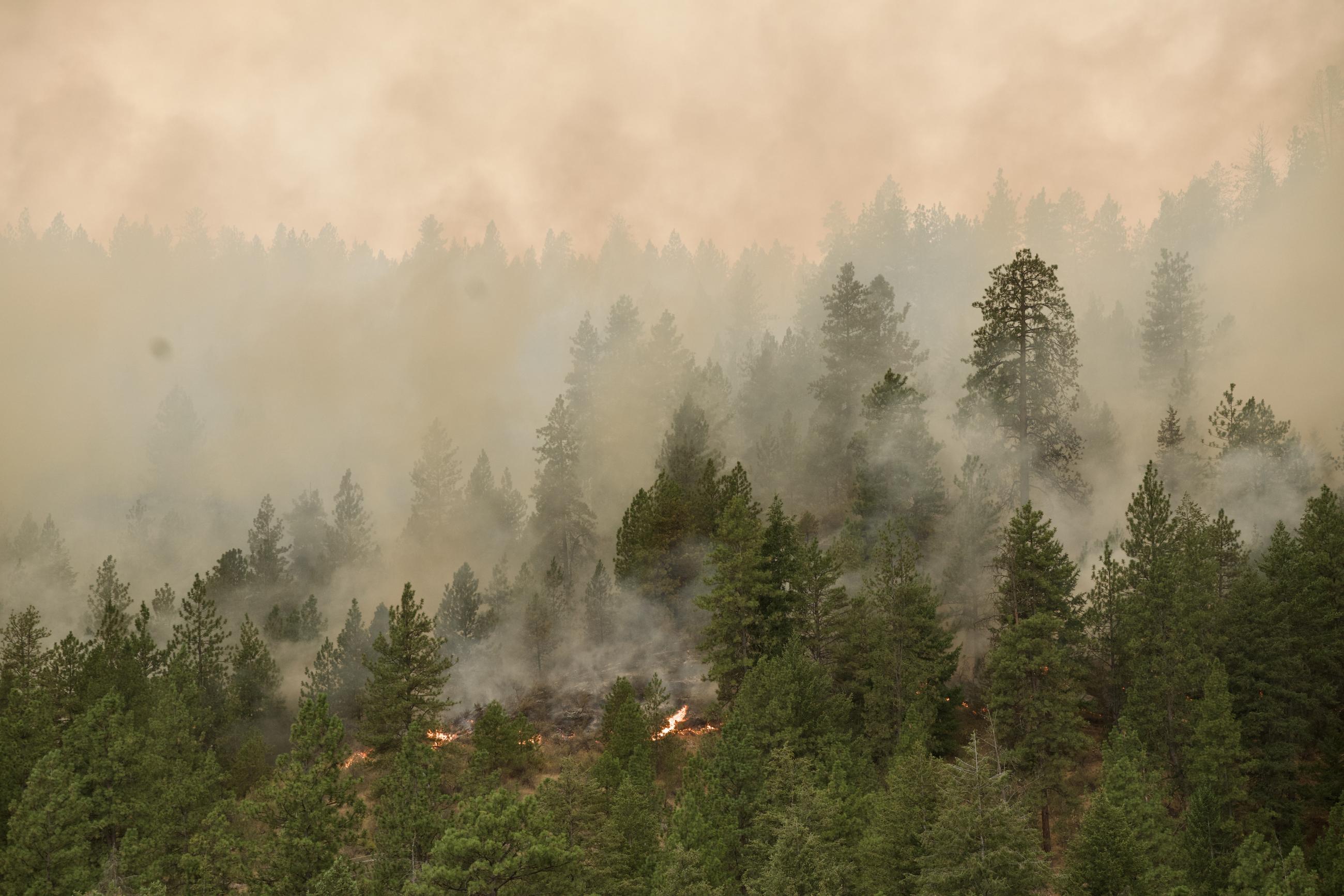
Swawilla fire burning down Mt. Tolman slope

Fire burning on Mt. Tolman
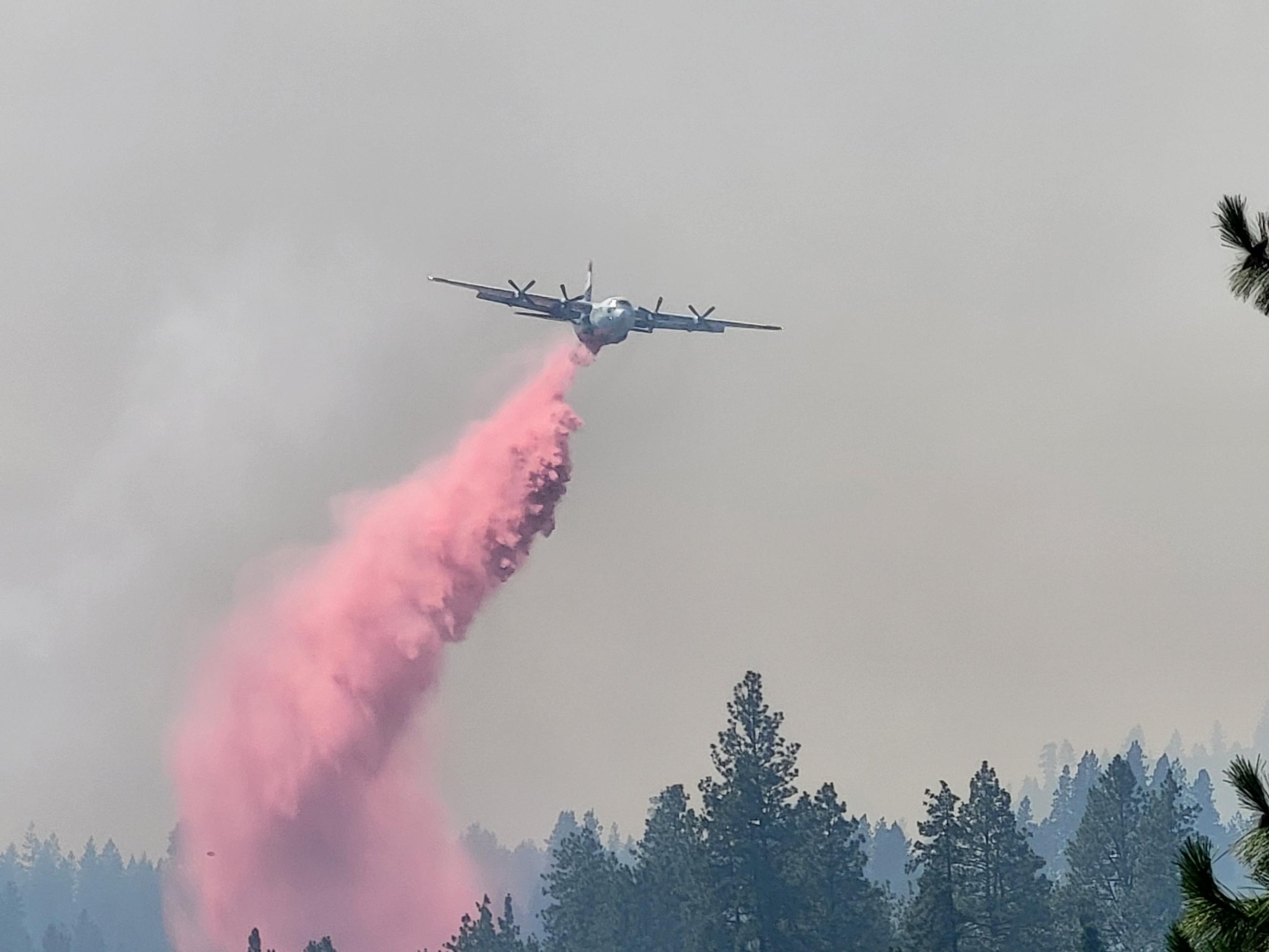
Retardant drop on the Swawilla Fire- photo credit Kylie England

 InciWeb