Incident Media Photographs
Could not determine your location.
Photographs Gallery
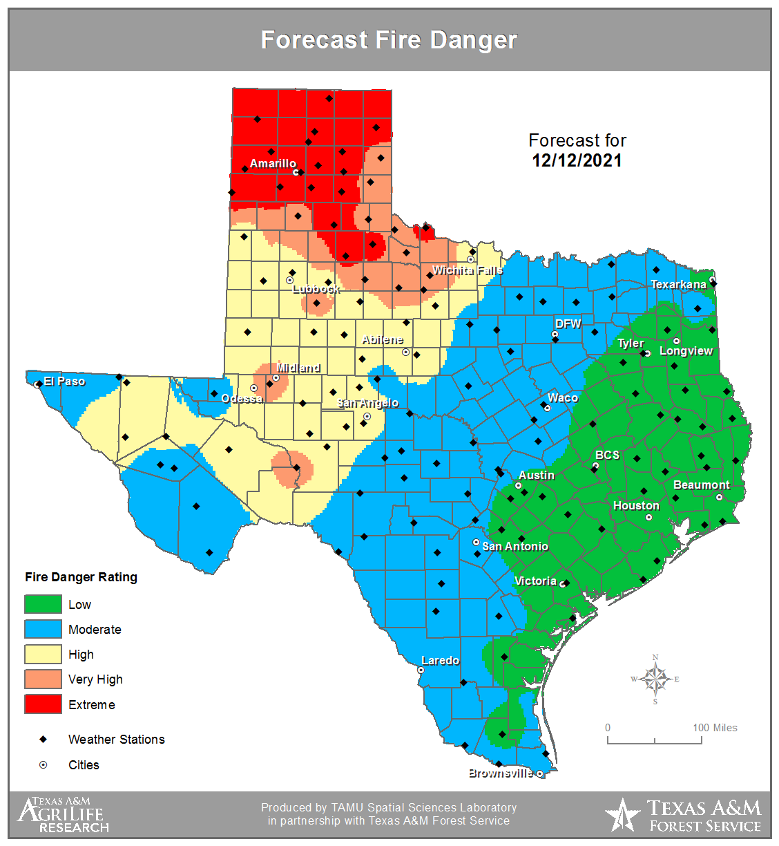
![Forecast Fire Danger: 12/12/21 Map of the state of Texas showing the forecast of the high fire danger areas. Extreme fire danger at the pandhandle and lessening as it gets to the coast.](https://inciweb-prod-media-bucket.s3.us-gov-west-1.amazonaws.com/s3fs-public/styles/max_2600x2600/public/2022-10/2021_12_12-10.45.58.380-CST.png?VersionId=BMhw3XmhfpFpxrpTwp7lQJVed8v2x86T&itok=bcP-gfw3)
Forecast Fire Danger map for 12/12/21. For more information visit https://ticc.tamu.edu/PredictiveServices/default.aspx
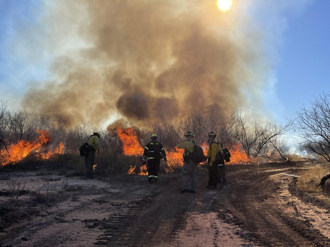
![Burnout operations on the Electra Complex:12/11/21 Five wildland firefighters in front of recently ignited vegetation, standing on a bulldozer control line.](https://inciweb-prod-media-bucket.s3.us-gov-west-1.amazonaws.com/s3fs-public/styles/max_2600x2600/public/2022-10/2021_12_11-17.38.13.543-CST.jpeg?VersionId=d.kMPBmuxVbOm7JcolyJOfW4bGny3Rqs&itok=bPz9M4Wl)
TIFMAS strike team members conduct burn out operations to secure control lines
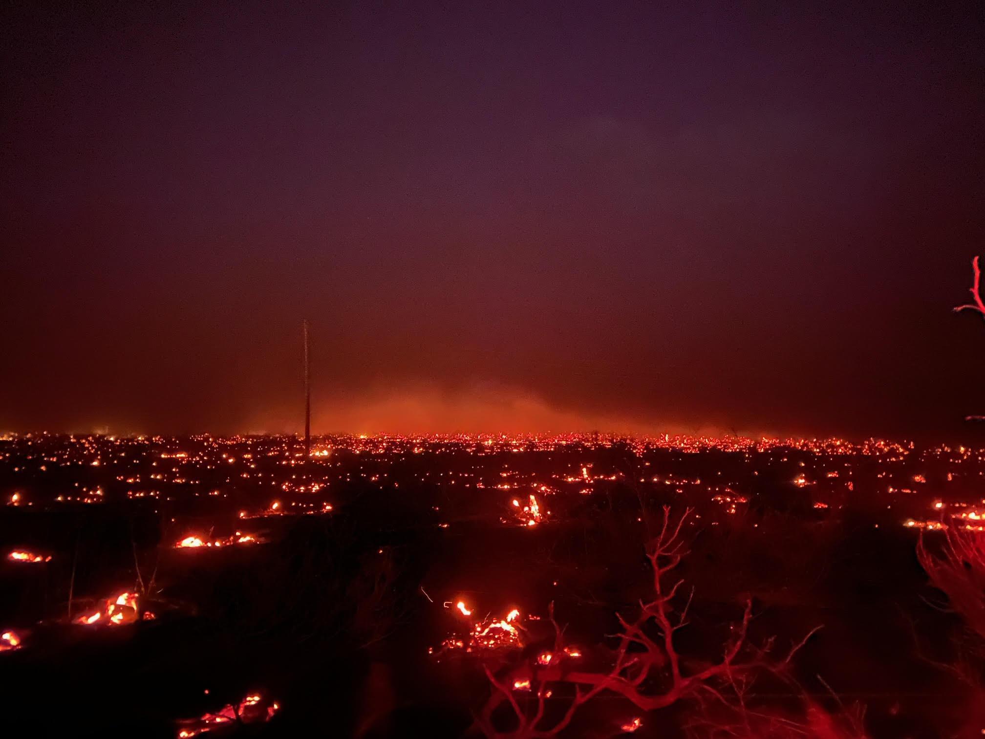
![Night smoldering on Electra Complex: 12/10/21 dark photo with widespread red glows from the fire moving through a recently harvested cornfield](https://inciweb-prod-media-bucket.s3.us-gov-west-1.amazonaws.com/s3fs-public/styles/max_2600x2600/public/2022-10/2021_12_10-21.51.50.065-CST.jpeg?VersionId=Akj9elTRY9kawK.i5A_jjULJl2EAQbYo&itok=6fErJoCp)
Night view of a burned cornfield near Electra, TX on 12/10/21
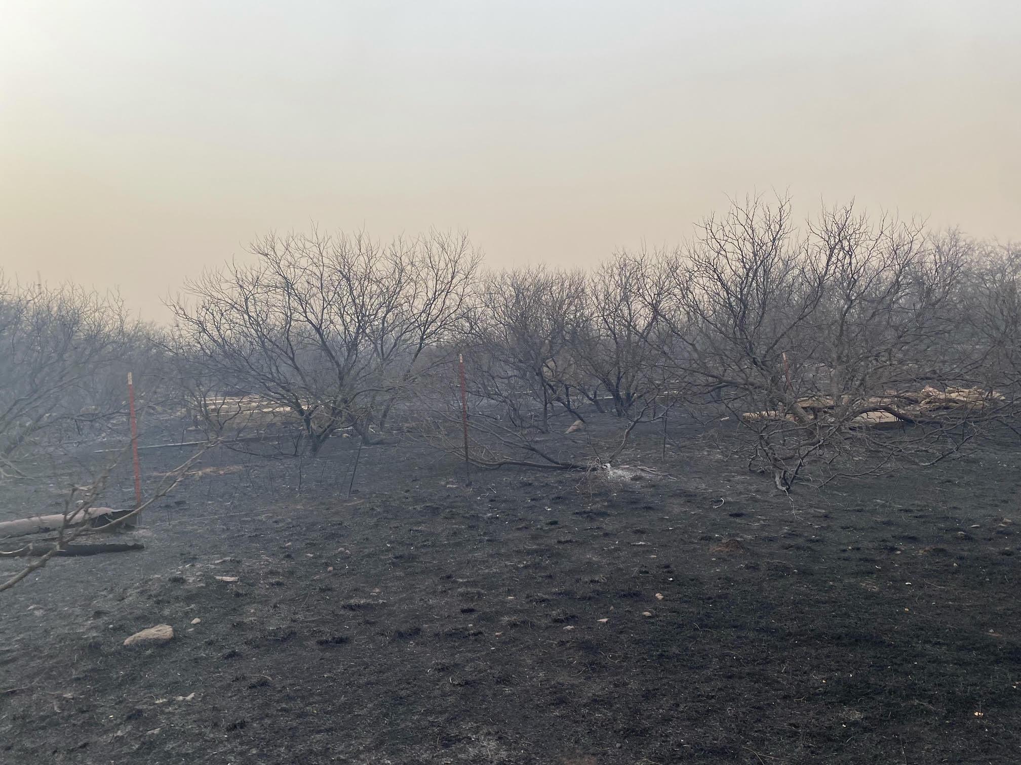
![Burned vegetation on the Electra Complex: 12/10/21 smoky view of a blackened ground where no grass remains. Charred mesquite is approximately 10 feet tall](https://inciweb-prod-media-bucket.s3.us-gov-west-1.amazonaws.com/s3fs-public/styles/max_2600x2600/public/2022-10/2021_12_10-21.52.46.094-CST.jpeg?VersionId=RfA4R_v92dPyU19GWqkFEdAza9YbF5ht&itok=TuPKdxGK)
Blacked pasture with charred mesquite near Electra, TX on 12/10/21