
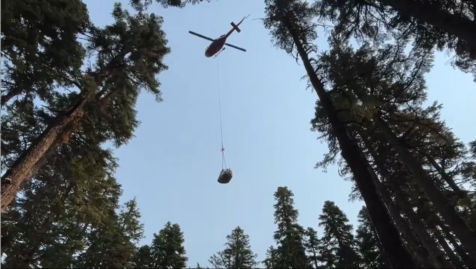
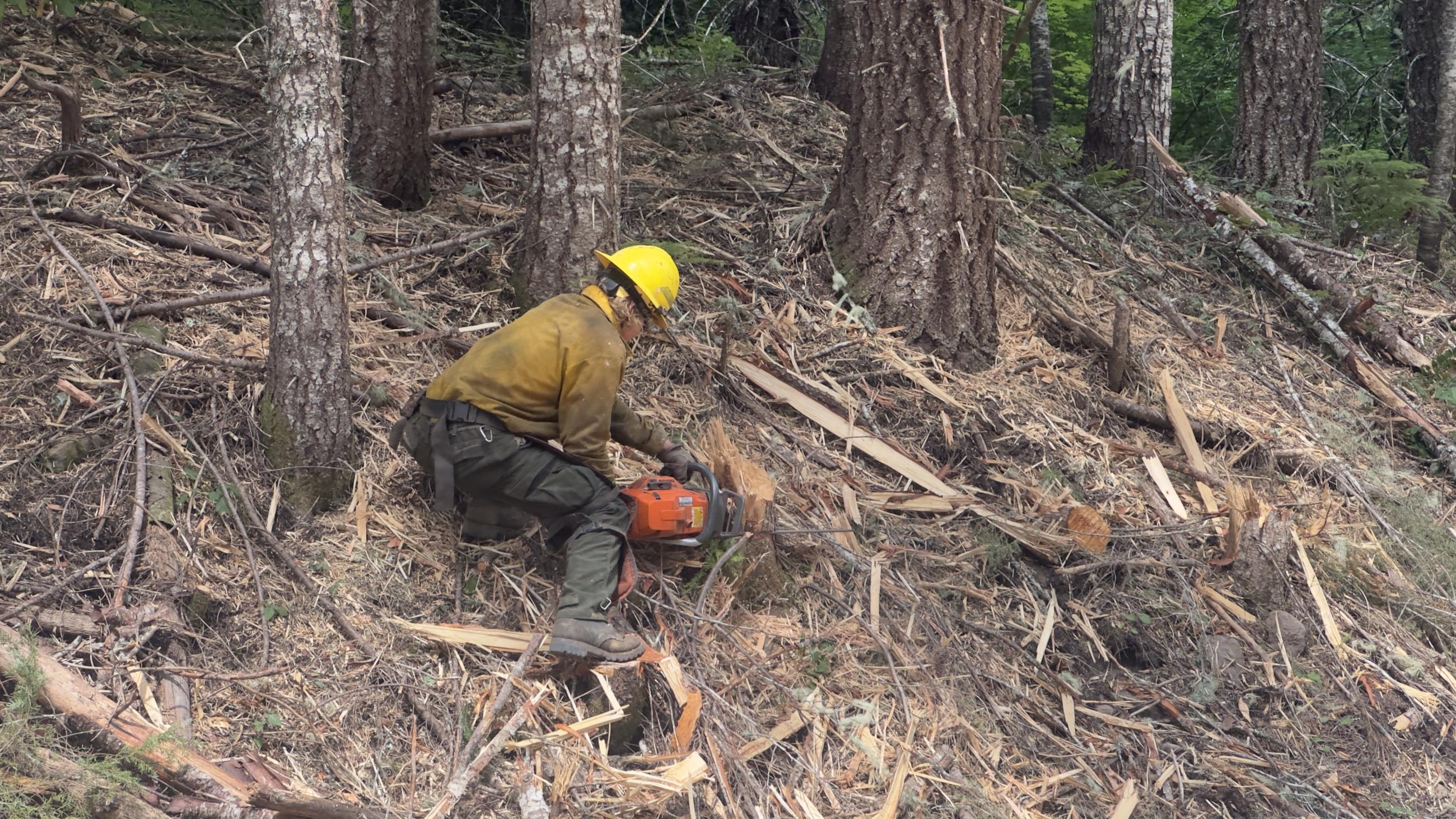
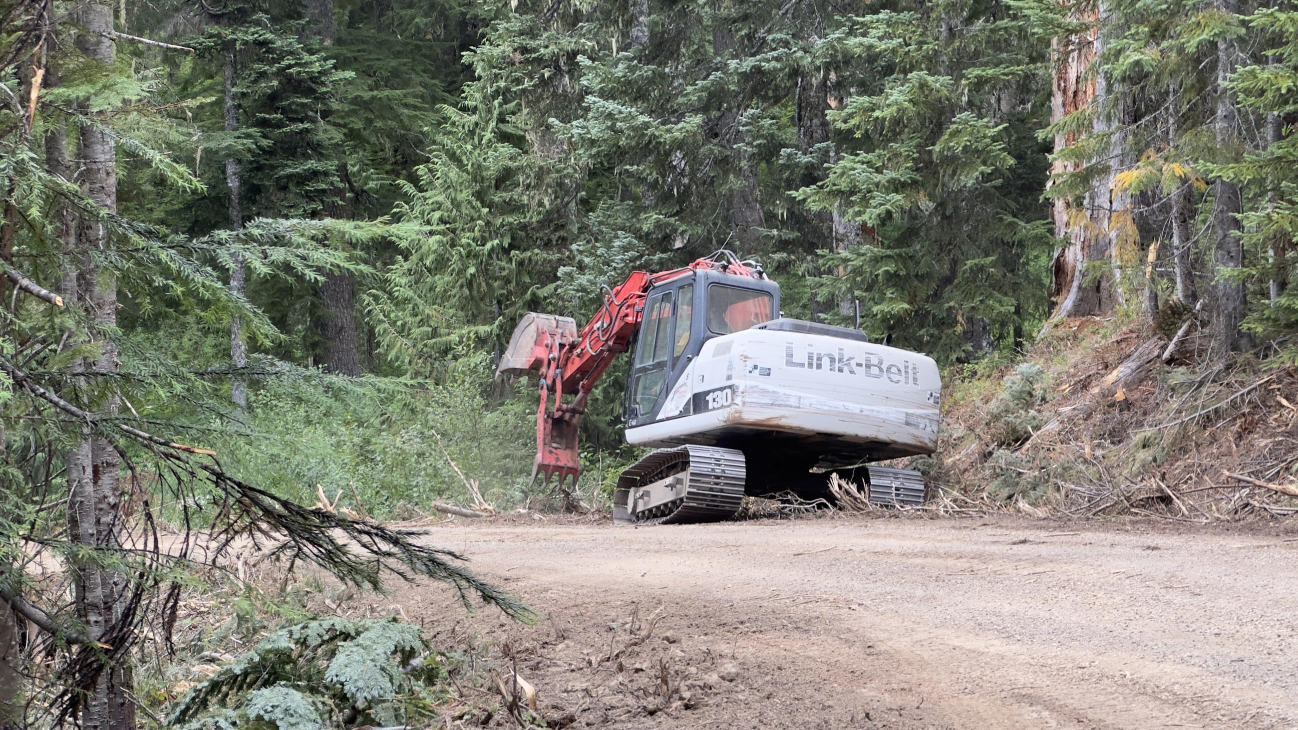
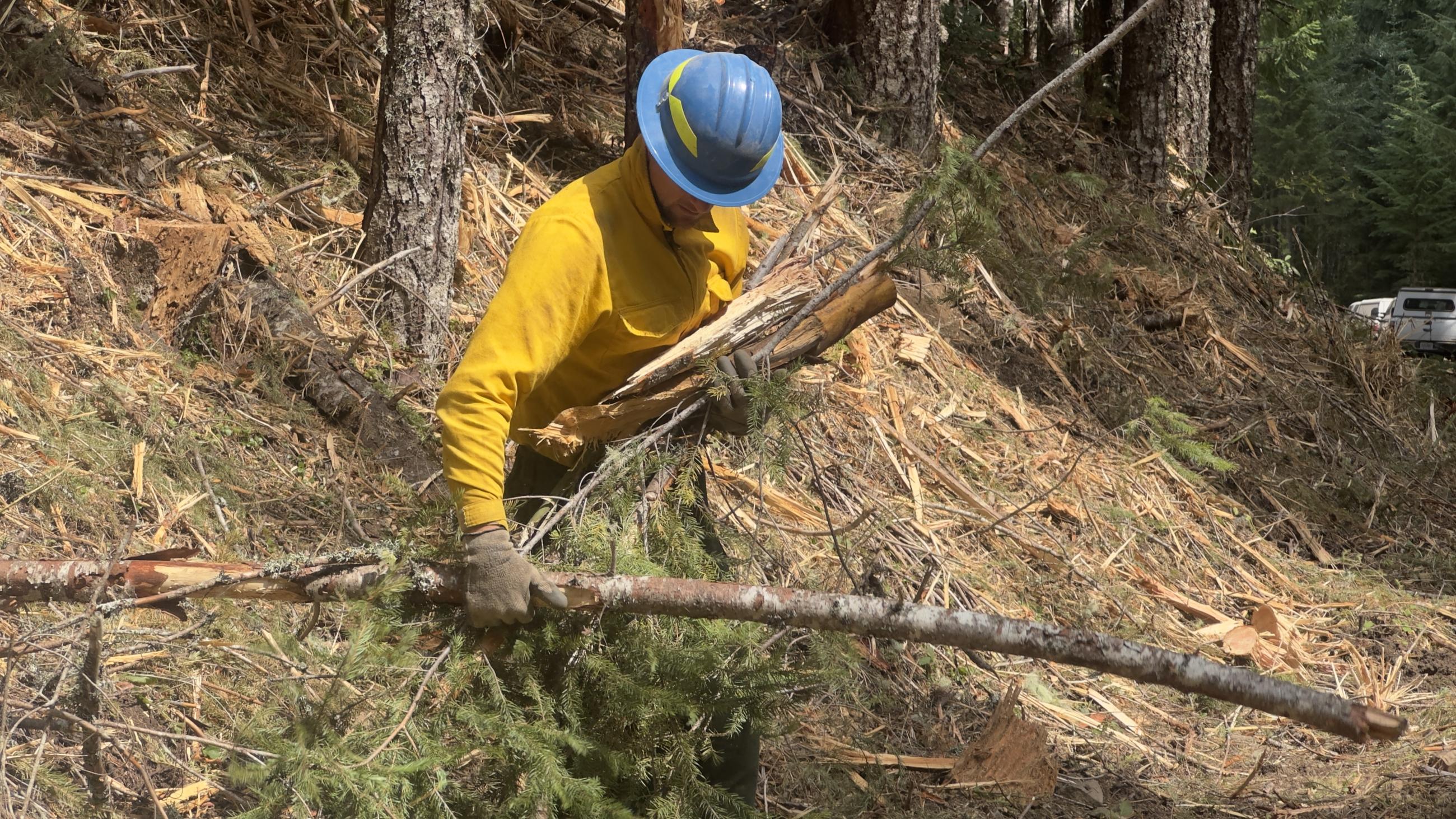
Incident Media Photographs
Settings - change map background and toggle additional layers
Filter - control incident types displayed on map.
Zoom to your location
Reset map zoom and position
Could not determine your location.
Show Legend
 Wildfire
 Prescribed Fire
 Burned Area
Response
Burned Area
Response Other
Other
Photographs Gallery


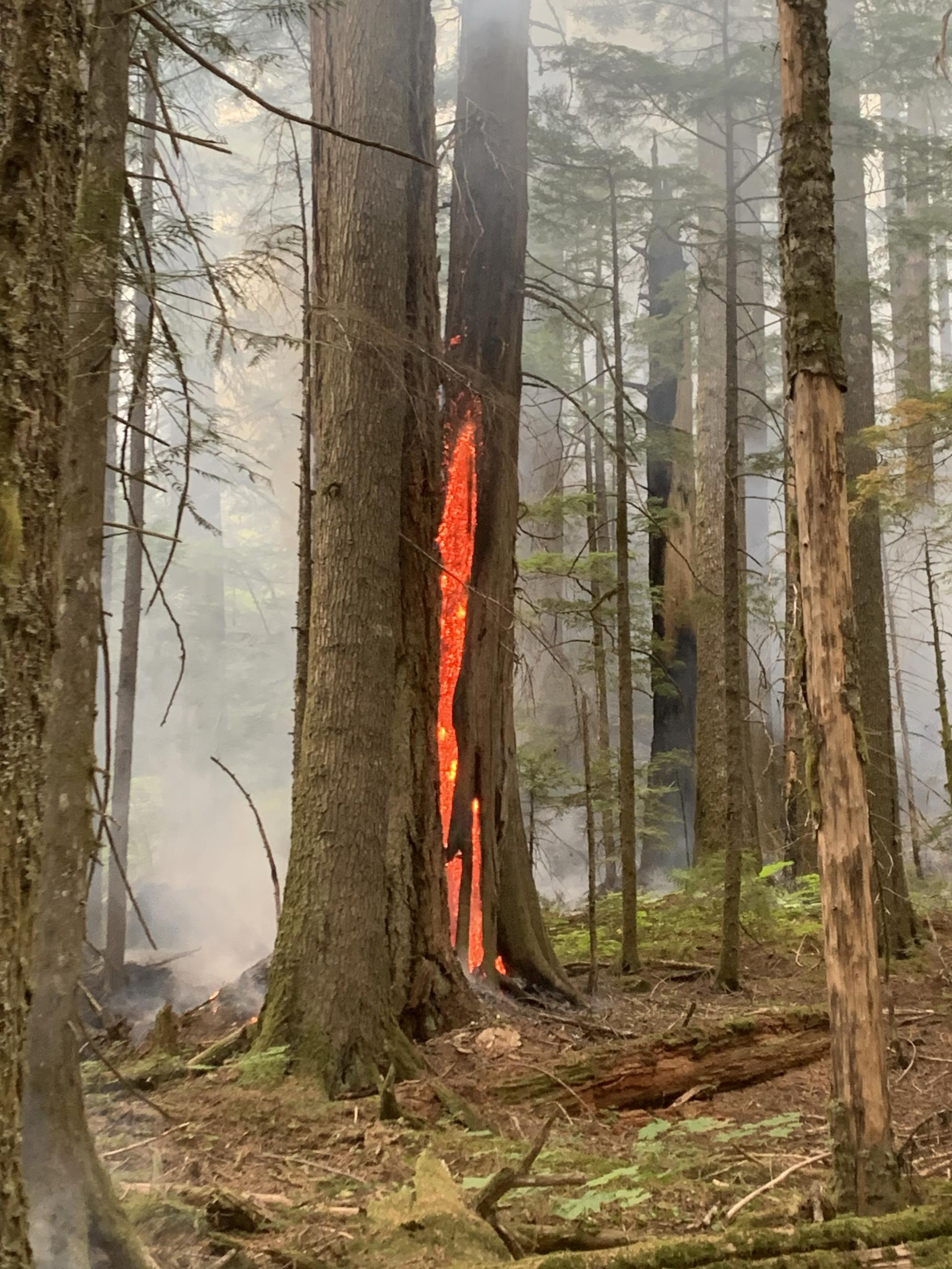
Burning tree within the East Fork of Herman Creek drainage.

The burn scar from the 2017 Eagle Creek Fire has served as an effective containment feature on the 2024 Whisky Creek fire's northern edge.
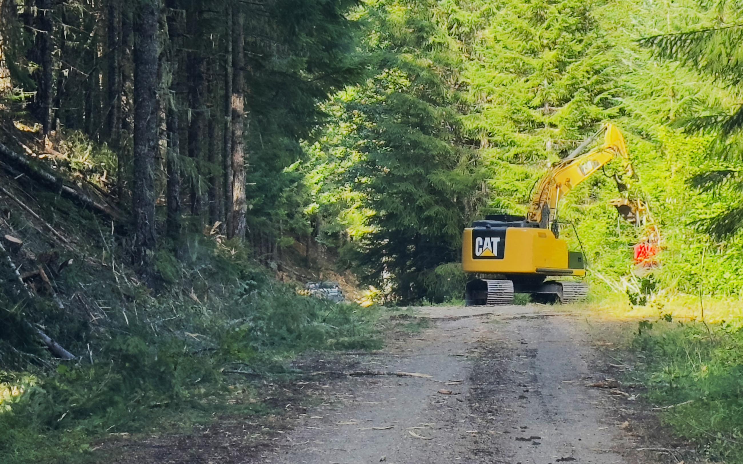
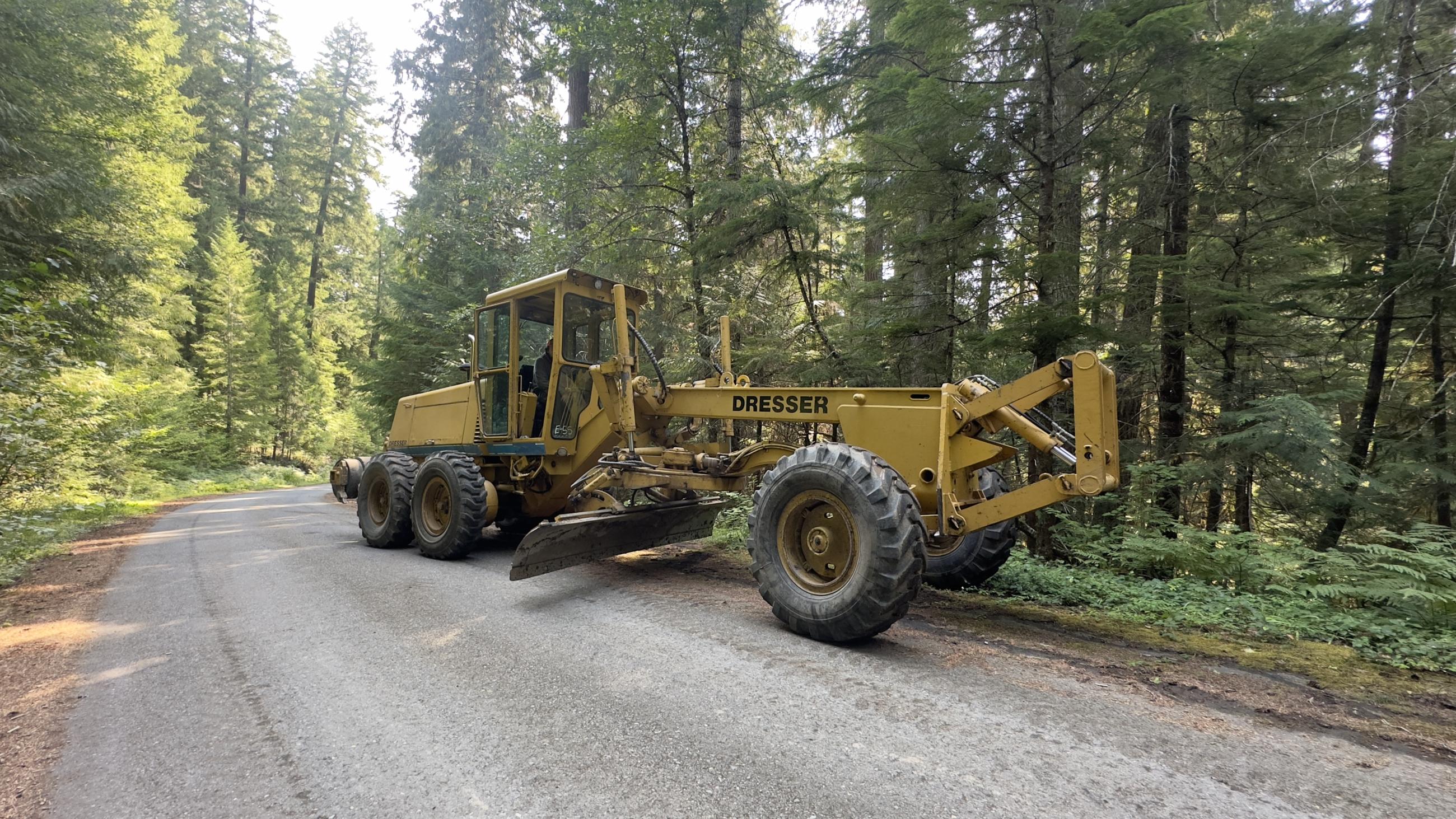
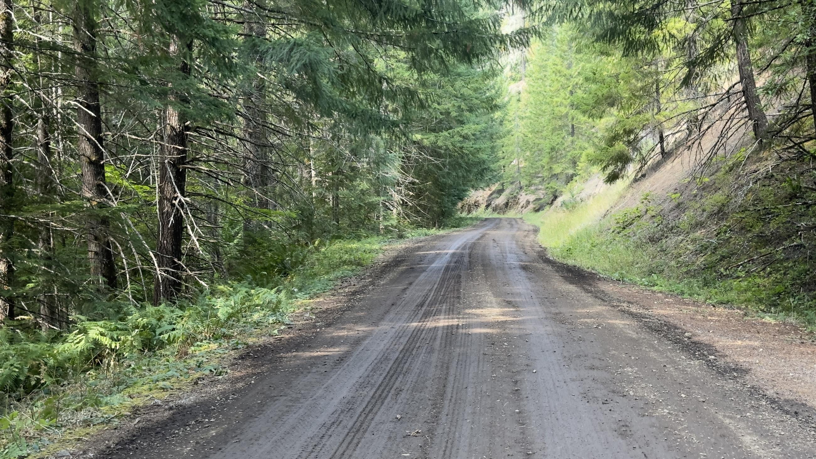
Bolstering Forest Road 7010 as a contingency line on the south side of the Sandstone Fire.