Incident Media Photographs
Settings - change map background and toggle additional layers
Filter - control incident types displayed on map.
Zoom to your location
Reset map zoom and position
Could not determine your location.
Show Legend
Photographs Gallery
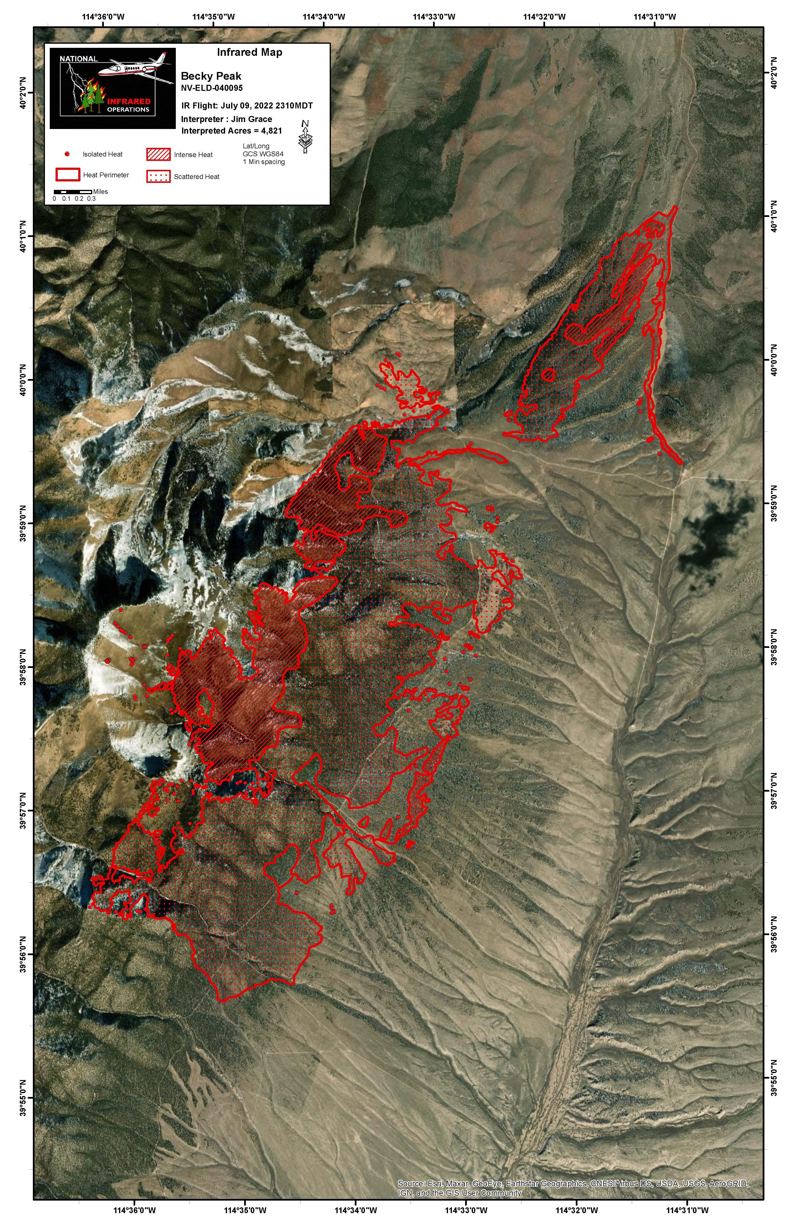
![IR Map, July 10, 2022 IR Map, July 10, 2022](https://inciweb-prod-media-bucket.s3.us-gov-west-1.amazonaws.com/s3fs-public/styles/max_2600x2600/public/2022-10/2022_07_10-11.07.42.721-CDT.jpeg?VersionId=Gw3yAbo0J5PKi0tvXT2dUJmTneQgHxzw&itok=MSKdNyfk)
IR map of the Becky Peak Fire
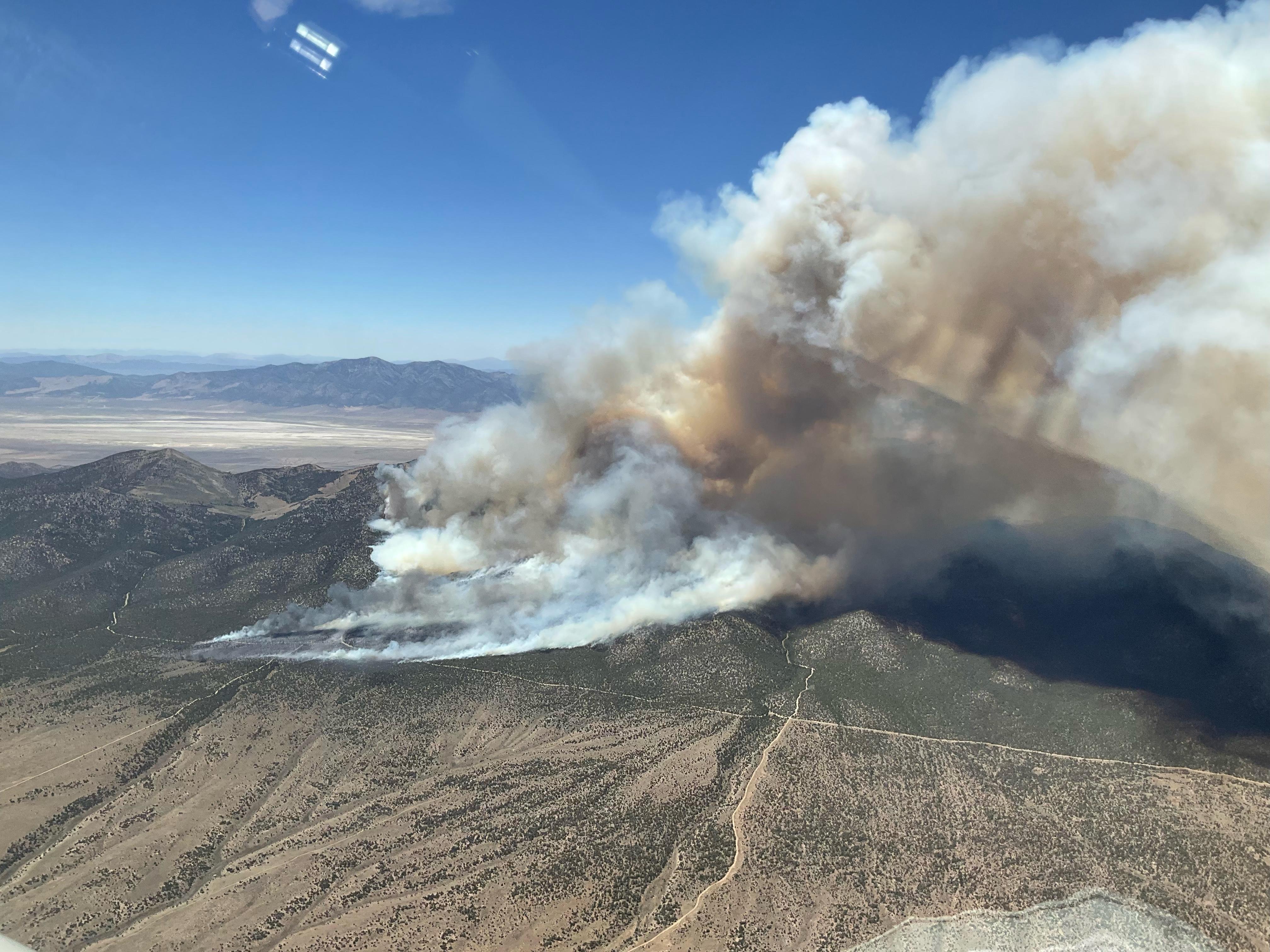
![Becky Peak Fire, July 9, 2022 Aerial view of the Becky Peak Fire on July 9, 2022](https://inciweb-prod-media-bucket.s3.us-gov-west-1.amazonaws.com/s3fs-public/styles/max_2600x2600/public/2022-10/2022_07_09-20.29.09.097-CDT.jpeg?VersionId=bX3IRtmMWSaDHIjFTmv74avLfU9sRmzU&itok=iPAAIwdh)
Aerial view of the Becky Peak Fire on July 9, 2022