Incident Media Photographs
Could not determine your location.
Hermits Peak and Calf Canyon BAER
Unit Information
Incident Contacts
- BAER InformationPhone:970-200-6195Hours:8am-8pm
- BAER InformationPhone:707-853-4243
- Santa Fe National Forest Public AffairsEmail:Phone:505-438-5320
Photographs Gallery
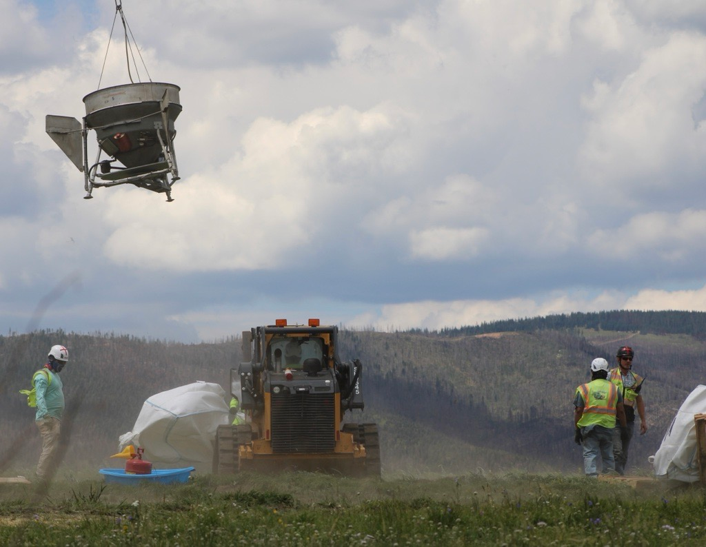
Crews work to refill the helicopter spreading bucket on the top of Johnson Mesa. Photo by Daniel R. Patterson, USFS.
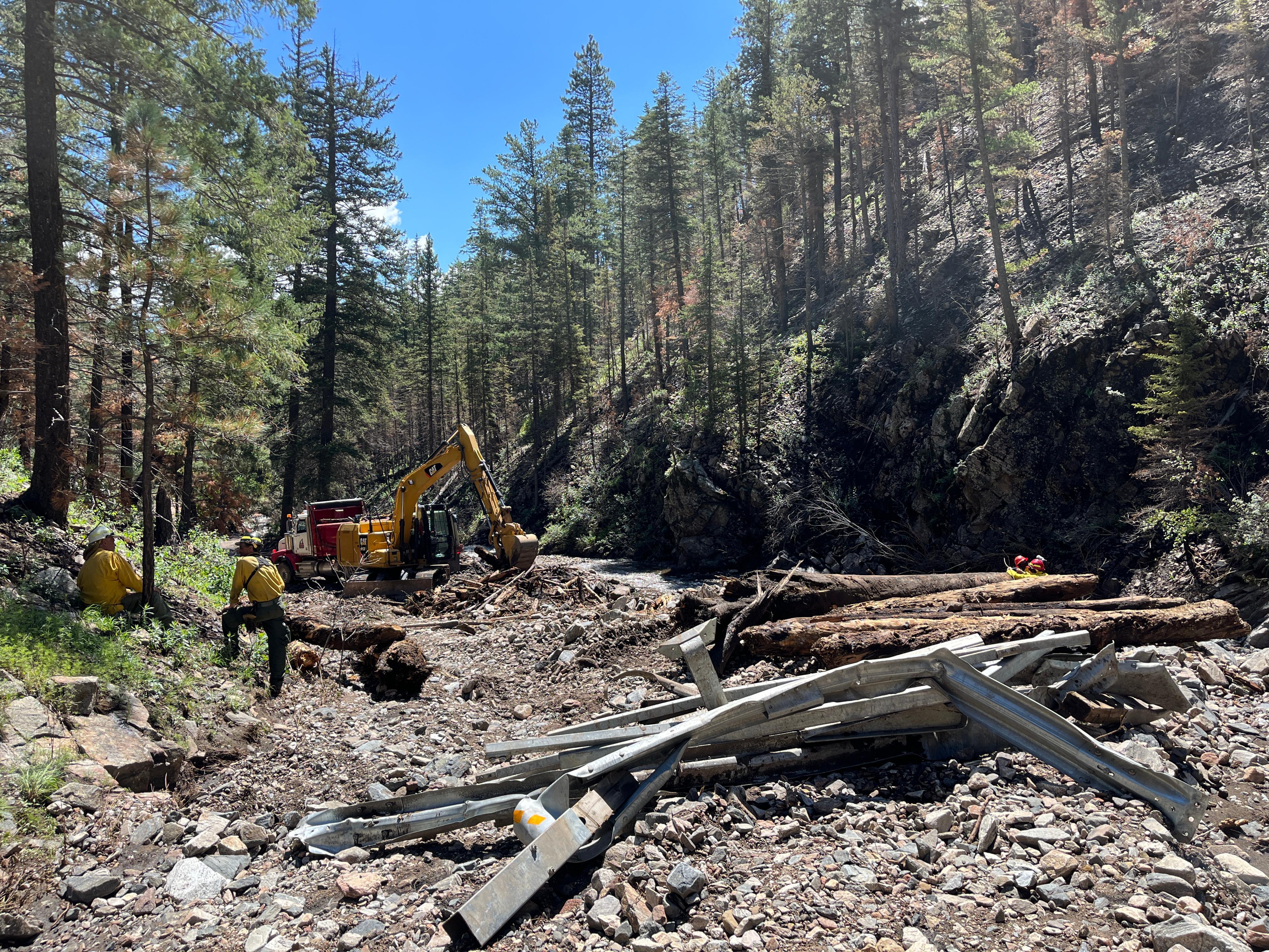
Firefighters work to remove debris in upper Gallinas Canyon, New Mexico. Photo by Daniel R. Patterson, USFS
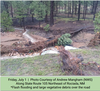
Flash Flooding & Large Vegetative Debris Over Road on 7-1-22 taken by NWS Andrew Mangham
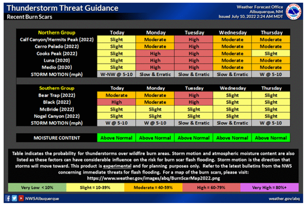
NM Burn Scar Thunderstorm NWS Forecast Table
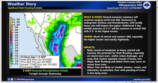
National Weather Service ABQ--Flash Flood Weather Notice
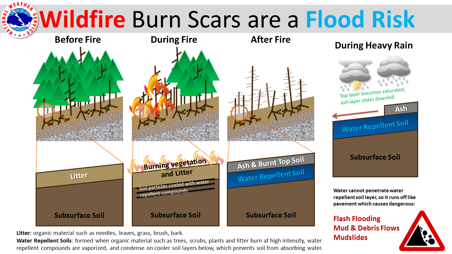
National Weather Service Reminder that Wildfire Burn Scars are a Flood Risk
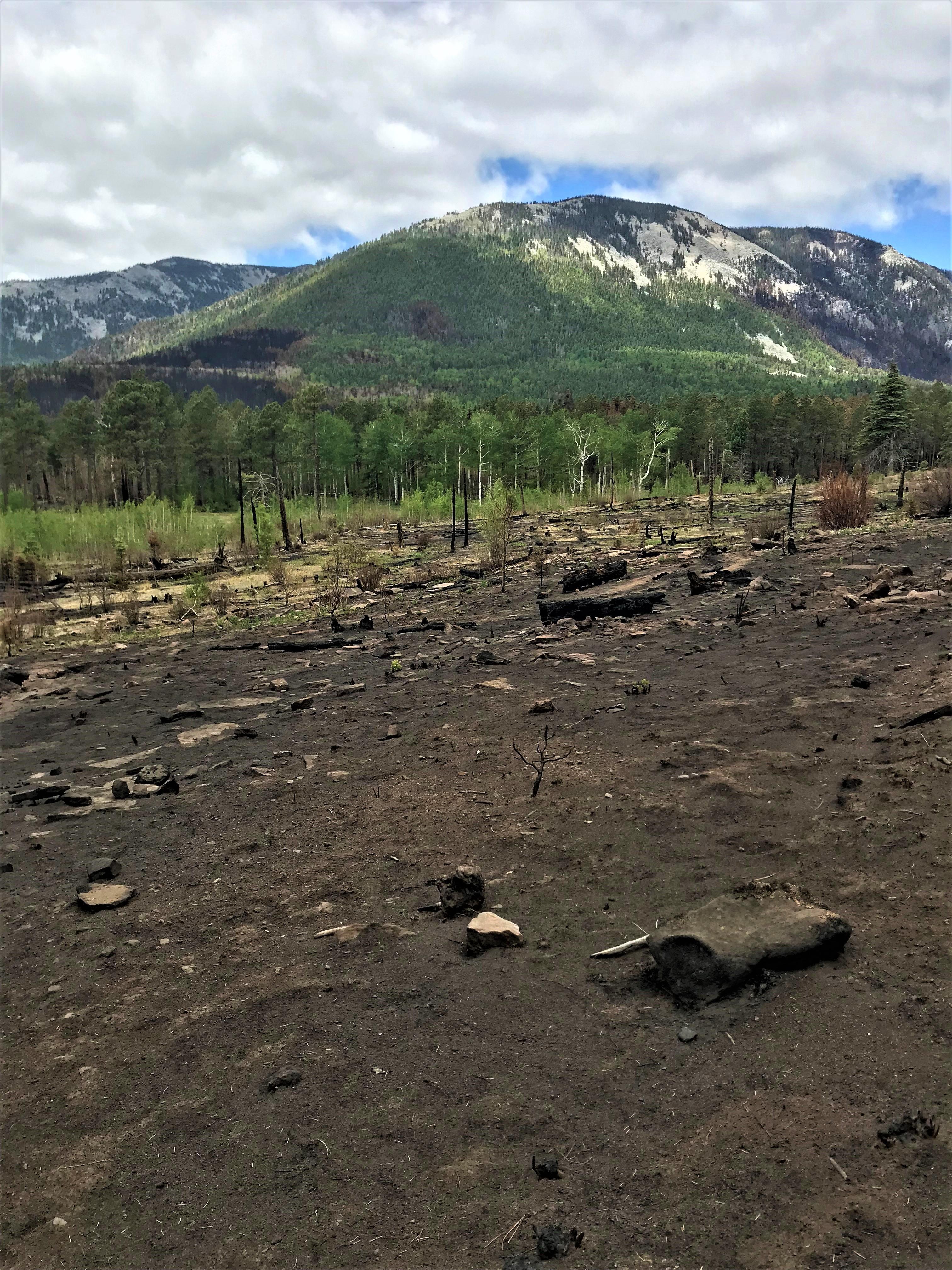
Overview of a mosaic burn pattern in the Upper Mora River Watershed within the Hermits Peak-Calf Canyon Fire perimeter.
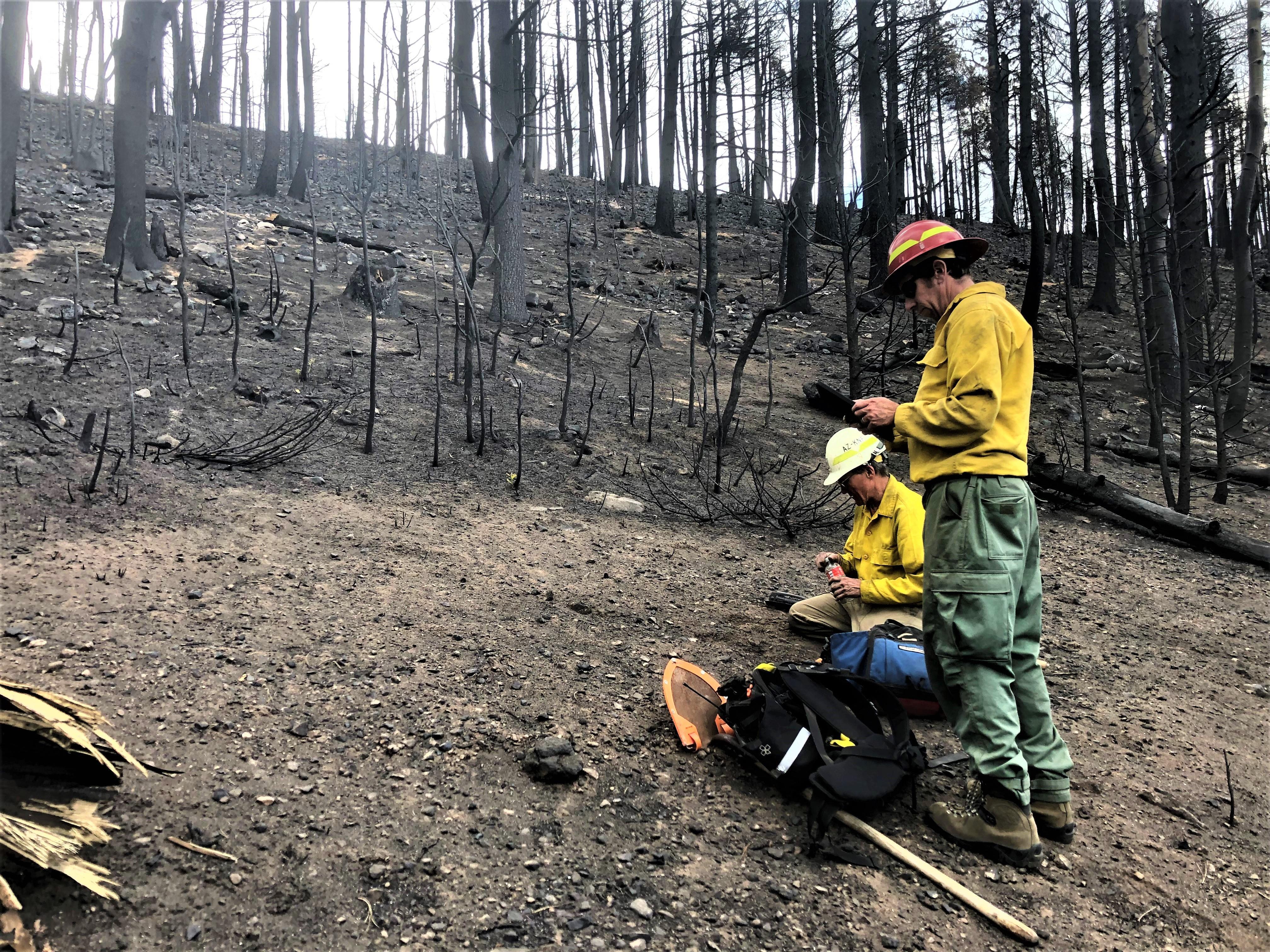
BAER Soil Scientist Christopher (Kit) Macdonald and BAER Wildlife Biologist Matthew Oneill assessing soil burn conditions and collecting data
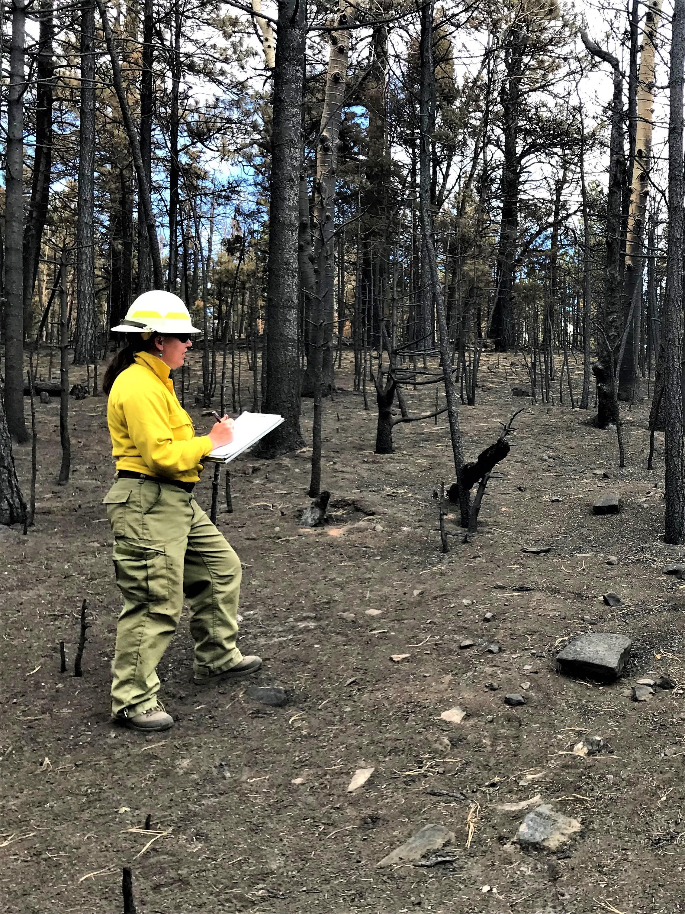
BAER Specialist Jana Comstock (Santa Fe National Forest Archaeologist) is gathering data from a burned cultural resources site in the Upper Mora River Watershed area of the Hermits Peak-Calf Canyon Fire perimeter
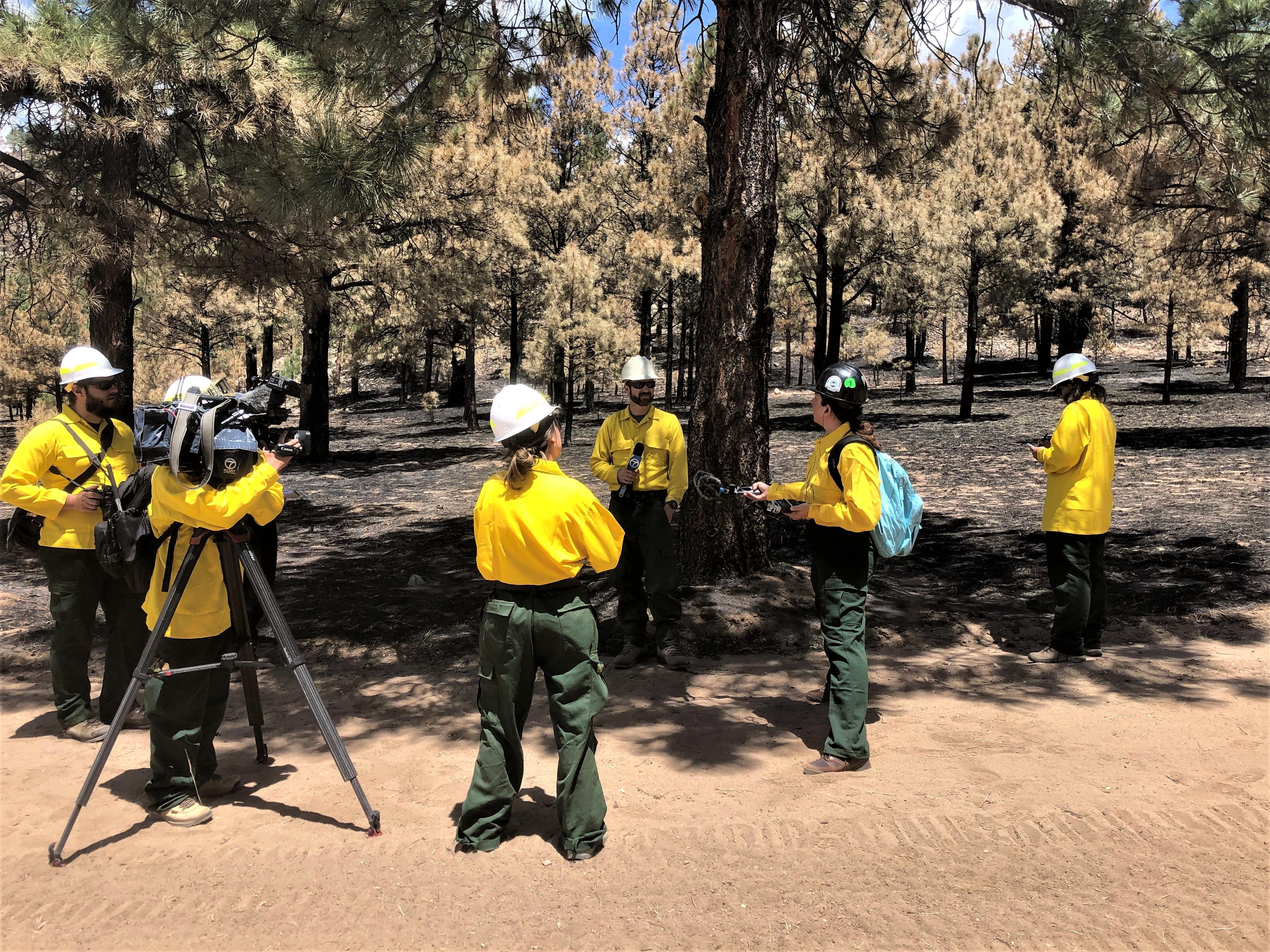
BAER Team Leader Micah Kiesow (Santa Fe NF Watershed Program Manager) providing the media an overview of the BAER program and the BAER team's assessment of the Hermits Peak-Calf Canyon burned areas
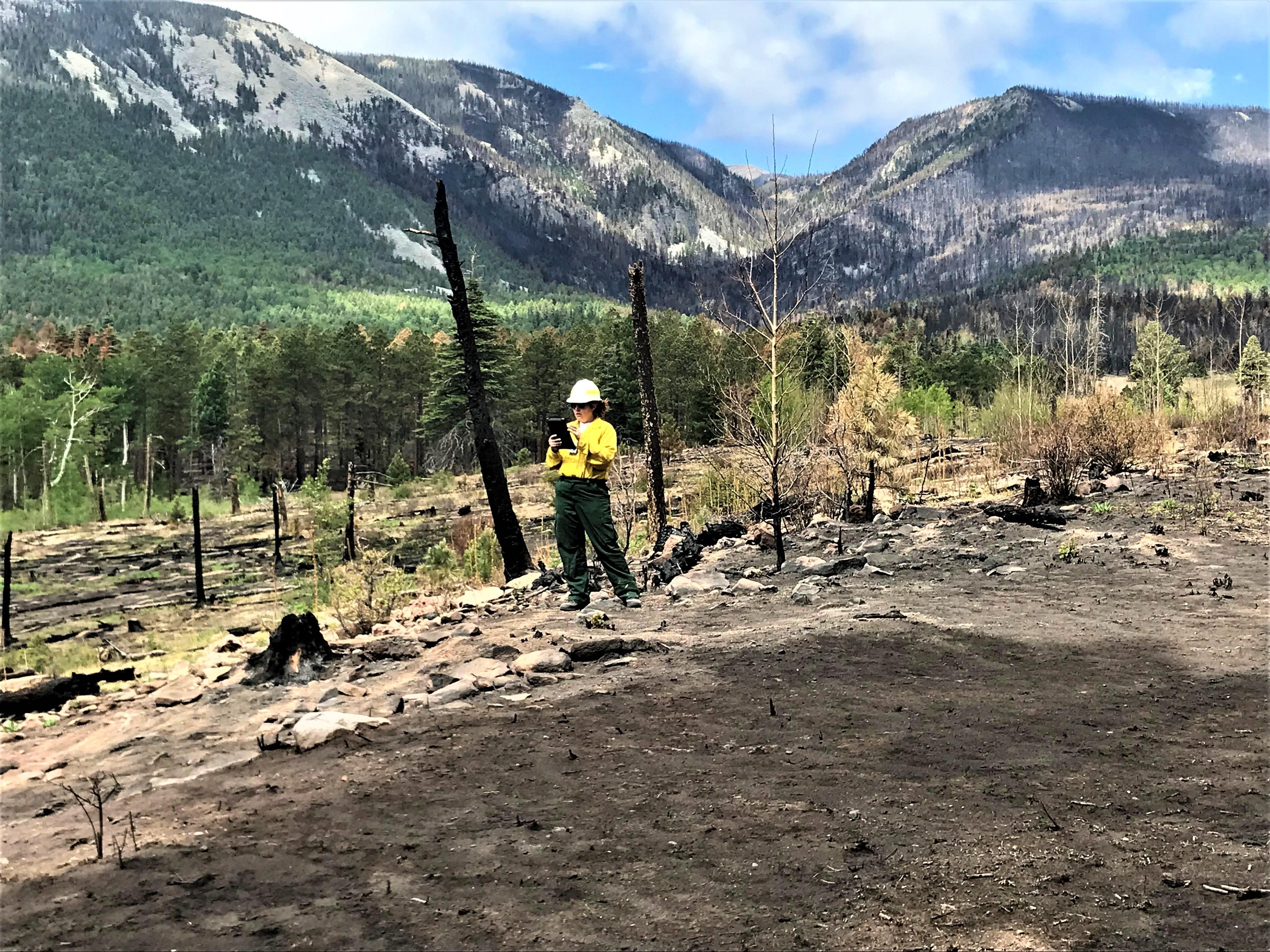
BAER Specialist Nikki Berkebile (Santa Fe NF Archaeologist) is using the Survey123 data collection program to document this burned cultural resources site in the Upper Mora River Watershed area of the Hermits Peak-Calf Canyon Fire perimeter
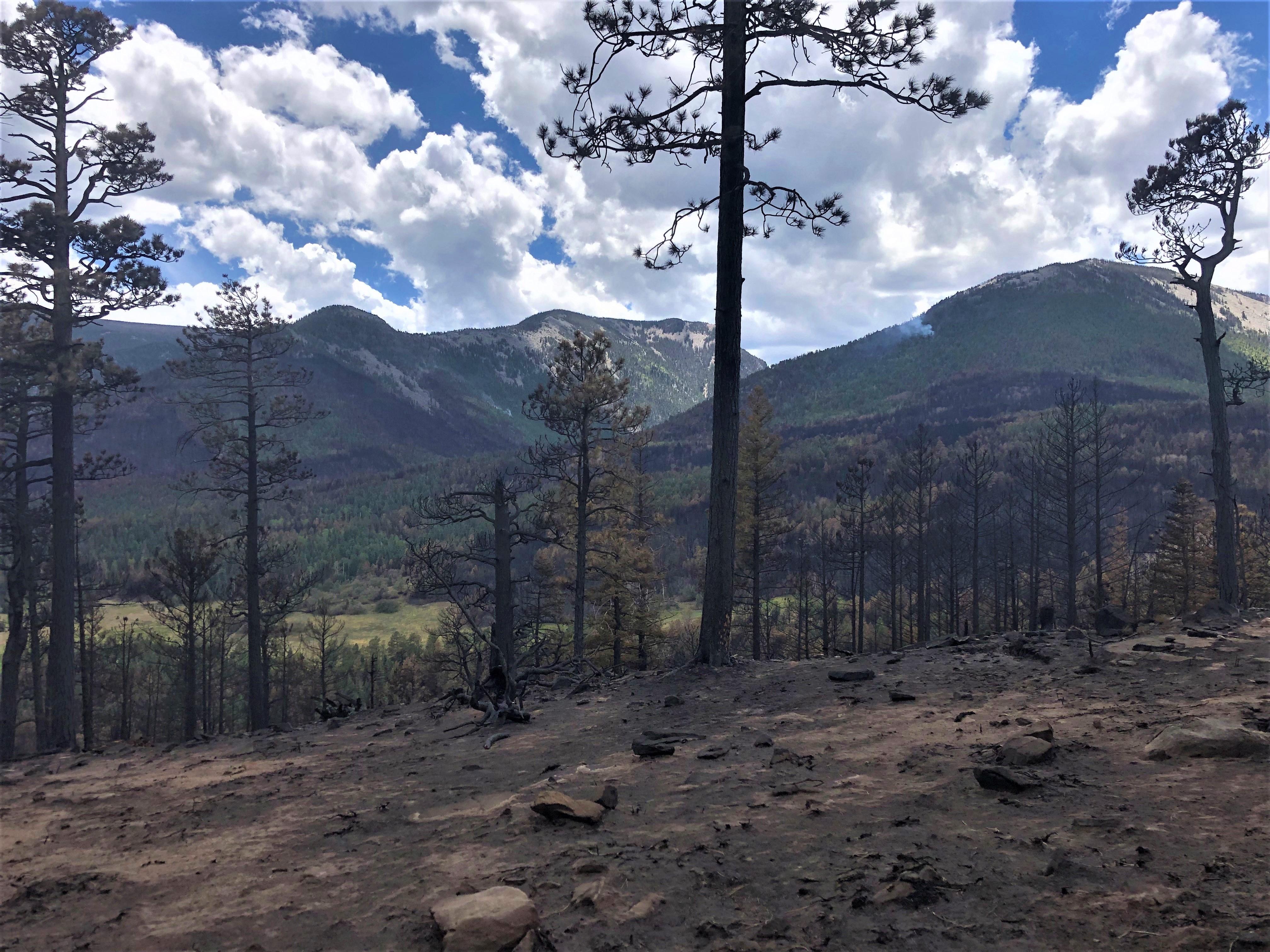
Overview of Burned Landscape within Hermits Peak-Calf Canyon Fire Perimeter

 InciWeb