
Incident Media Photographs
Settings - change map background and toggle additional layers
Filter - control incident types displayed on map.
Zoom to your location
Reset map zoom and position
Could not determine your location.
Show Legend
 Wildfire
 Prescribed Fire
 Burned Area
Response
Burned Area
Response Other
Other
Blue 2 Fire
Unit Information
Incident Contacts
- Incident InformationEmail:Phone:(575) 270-2726Hours:8am - 4pm Monday-Friday
Photographs Gallery
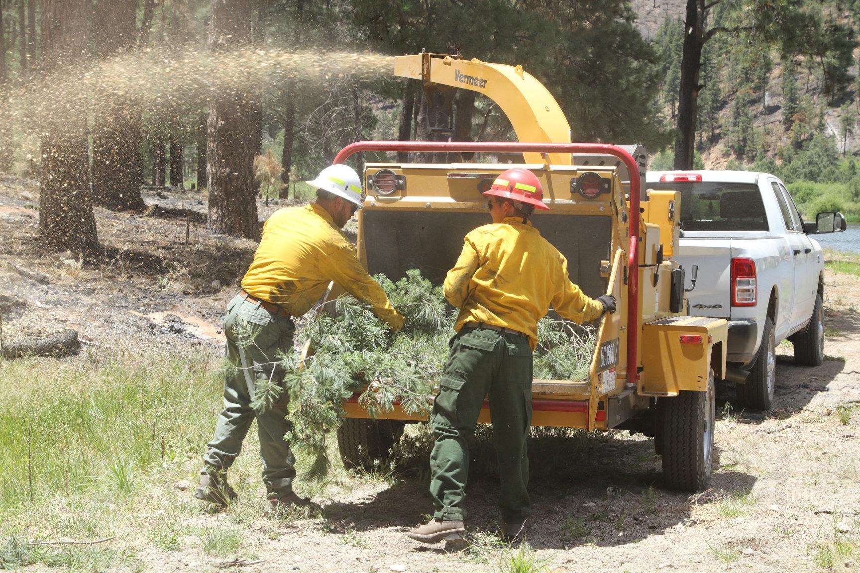
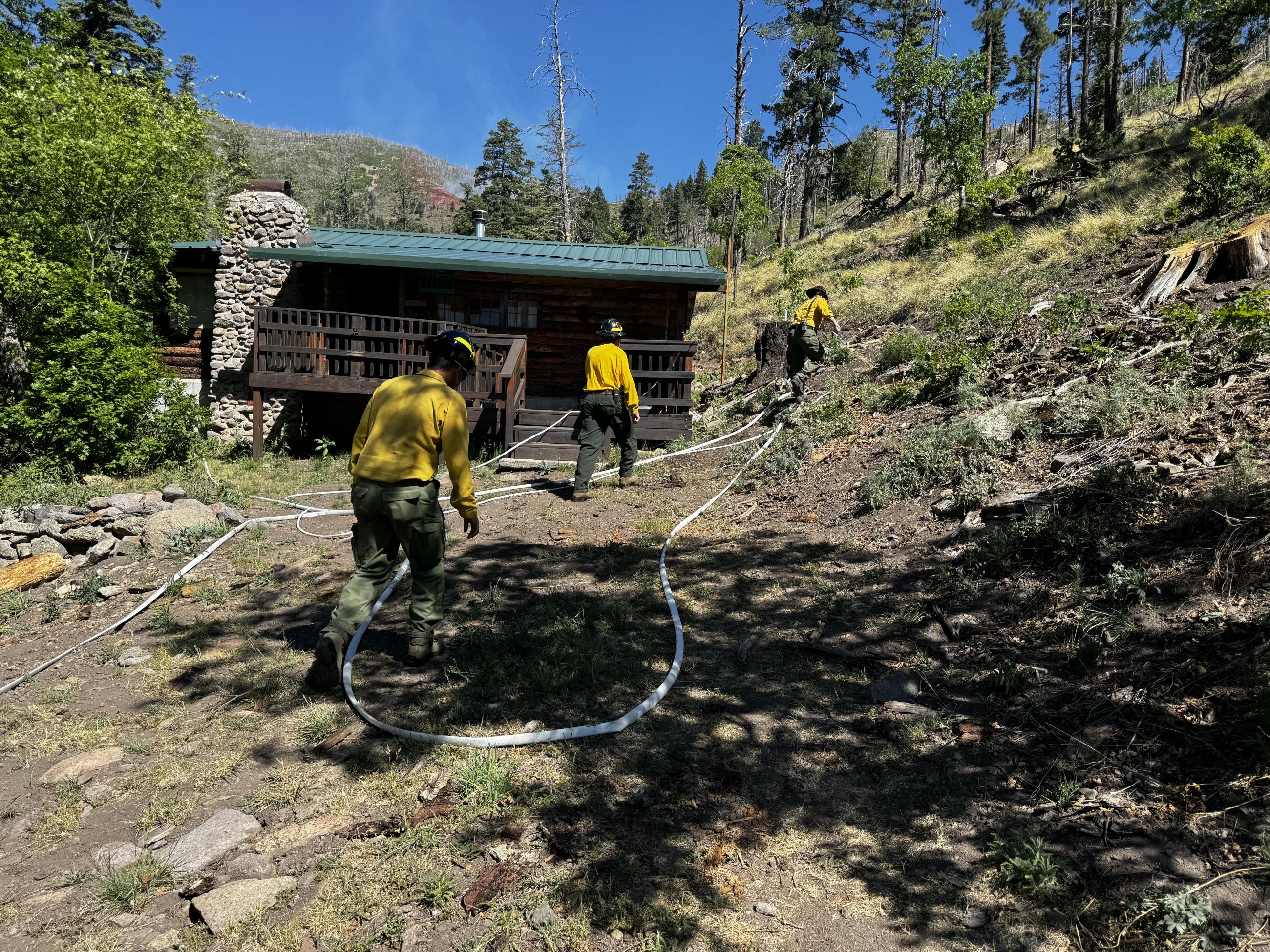
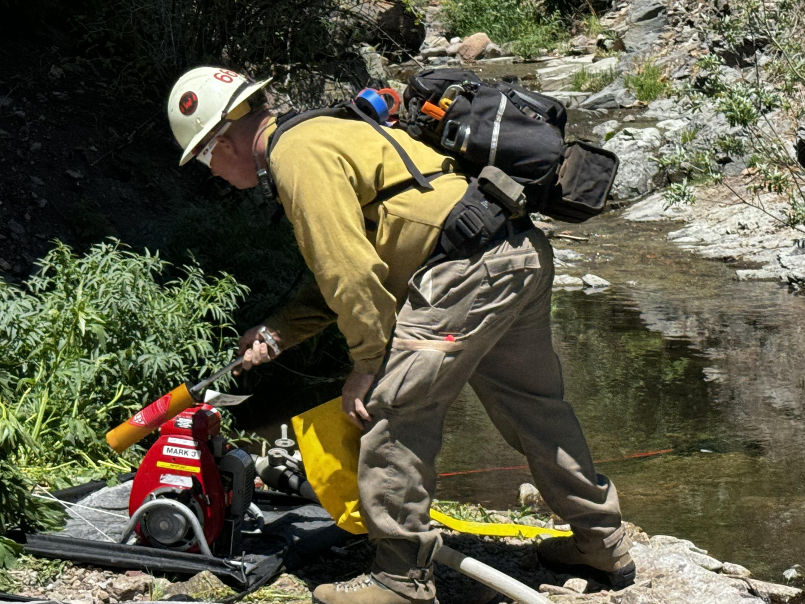
Firefighters using chippers to clear branches and maintain the fire break
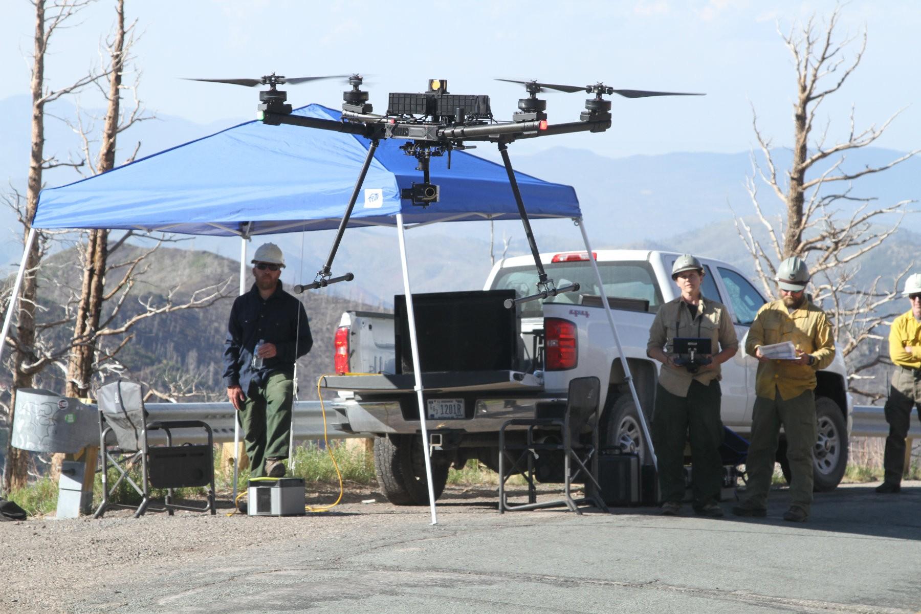
Firefighters utilize drones to be able to find heat sources inside the fire perimeter on June 1,2024
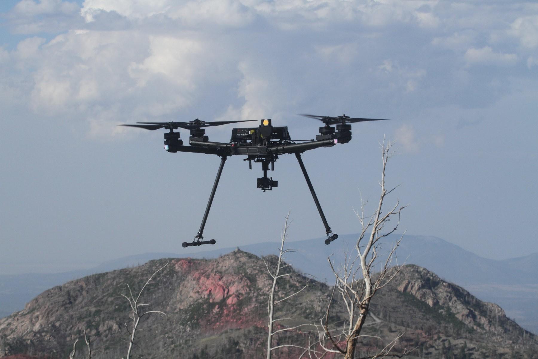
Photo credit: Mike McMillan_USFS PIO
PC: Mike McMillan/USFS PIO
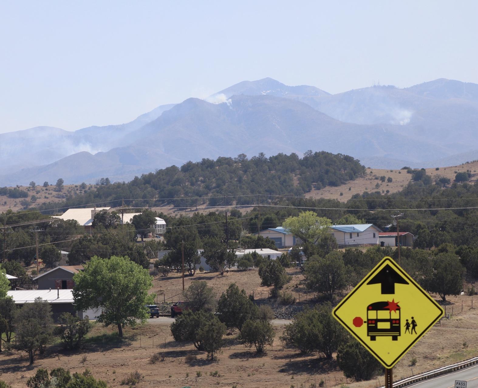
Smoke from the Blue 2 Fire is visible from the village of Angus, New Mexico on May 28th, 2024. USDA Forest Service Photo courtesy of PIO Daniel Patterson
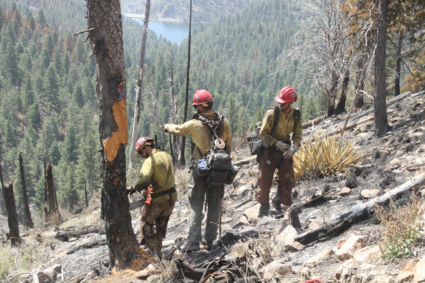
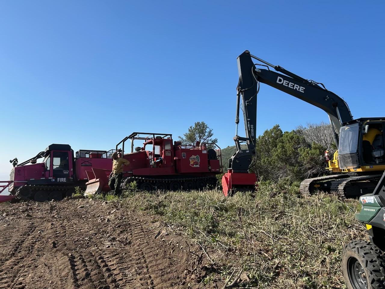
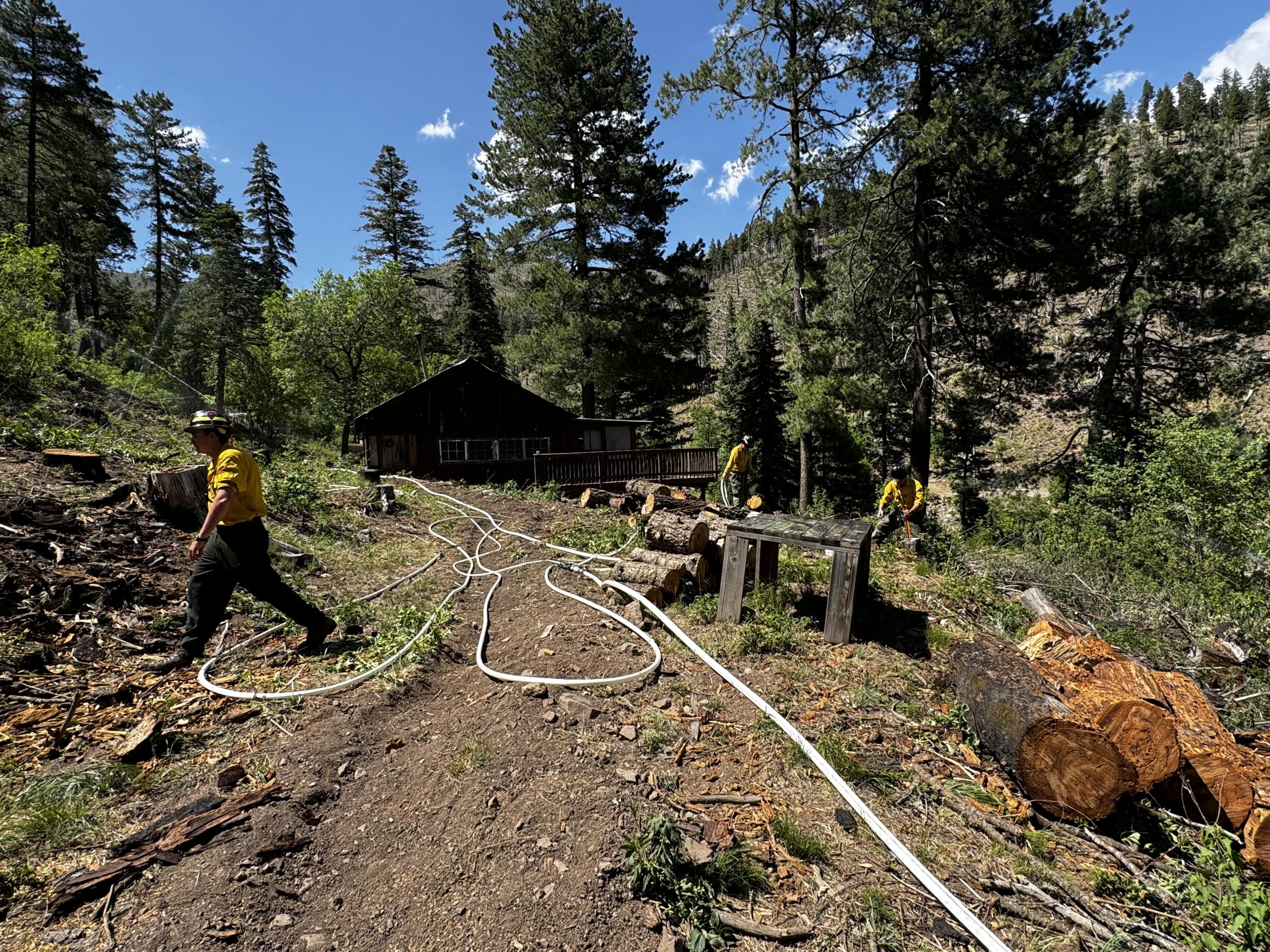
Smokey Bear Hotshots in Div F securing control lines and falling hazard trees on the Blue 2 Fire. USDA Forest Service Photo courtesty of PIOC Mike McMillan
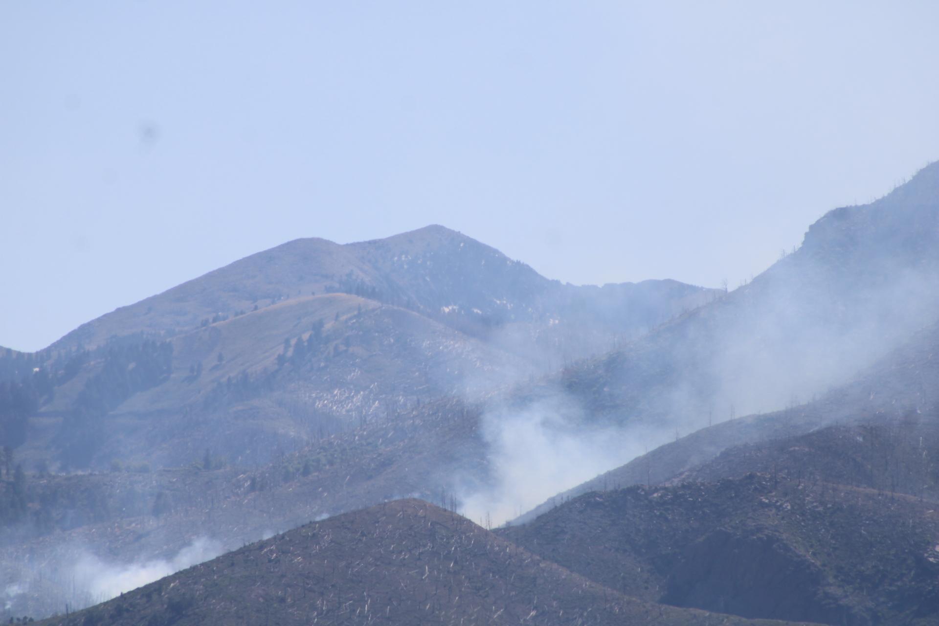
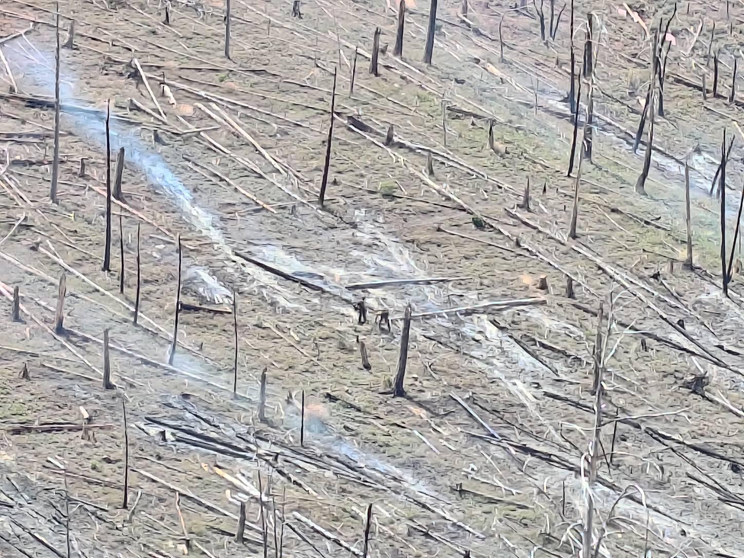
Smoke coming from the northeast side of the Blue 2 Fire on 05-28-2024. Photo courtesy of PIO Daniel Patterson.