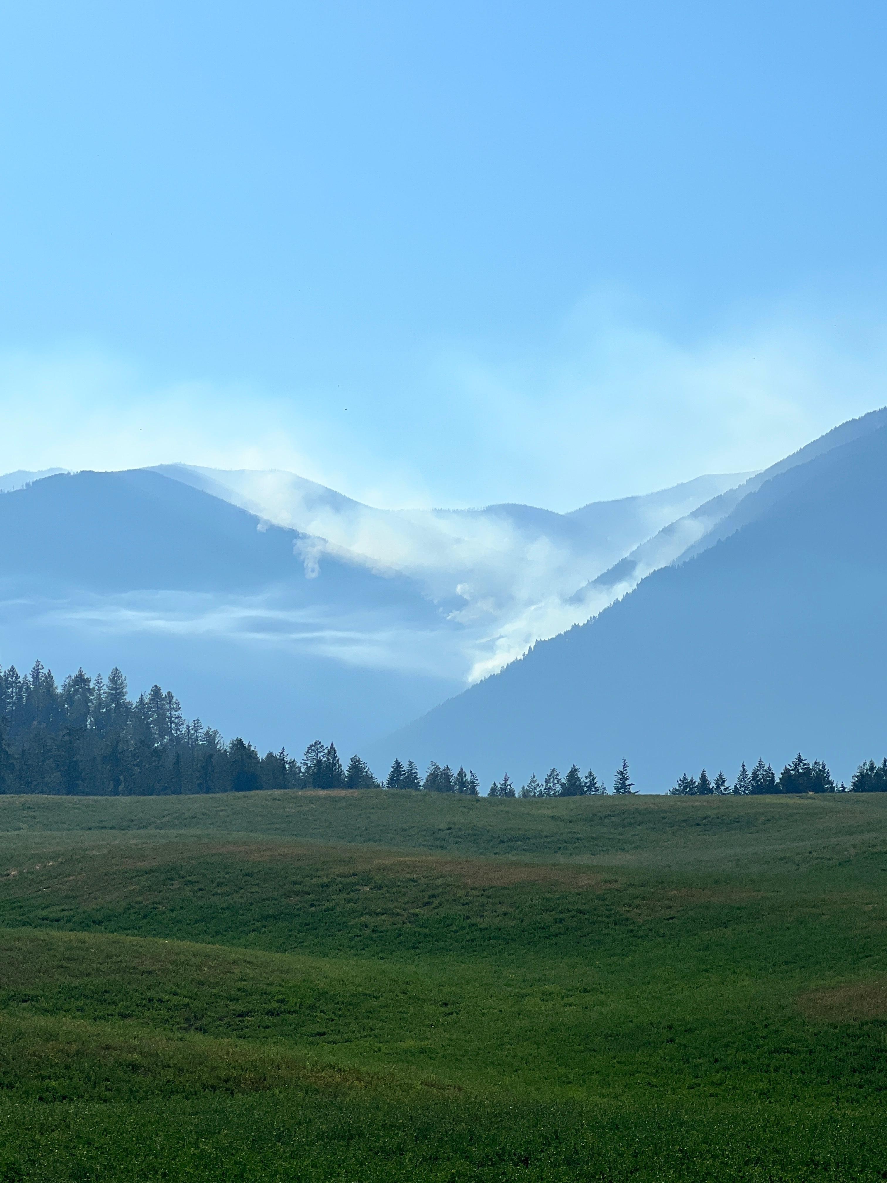
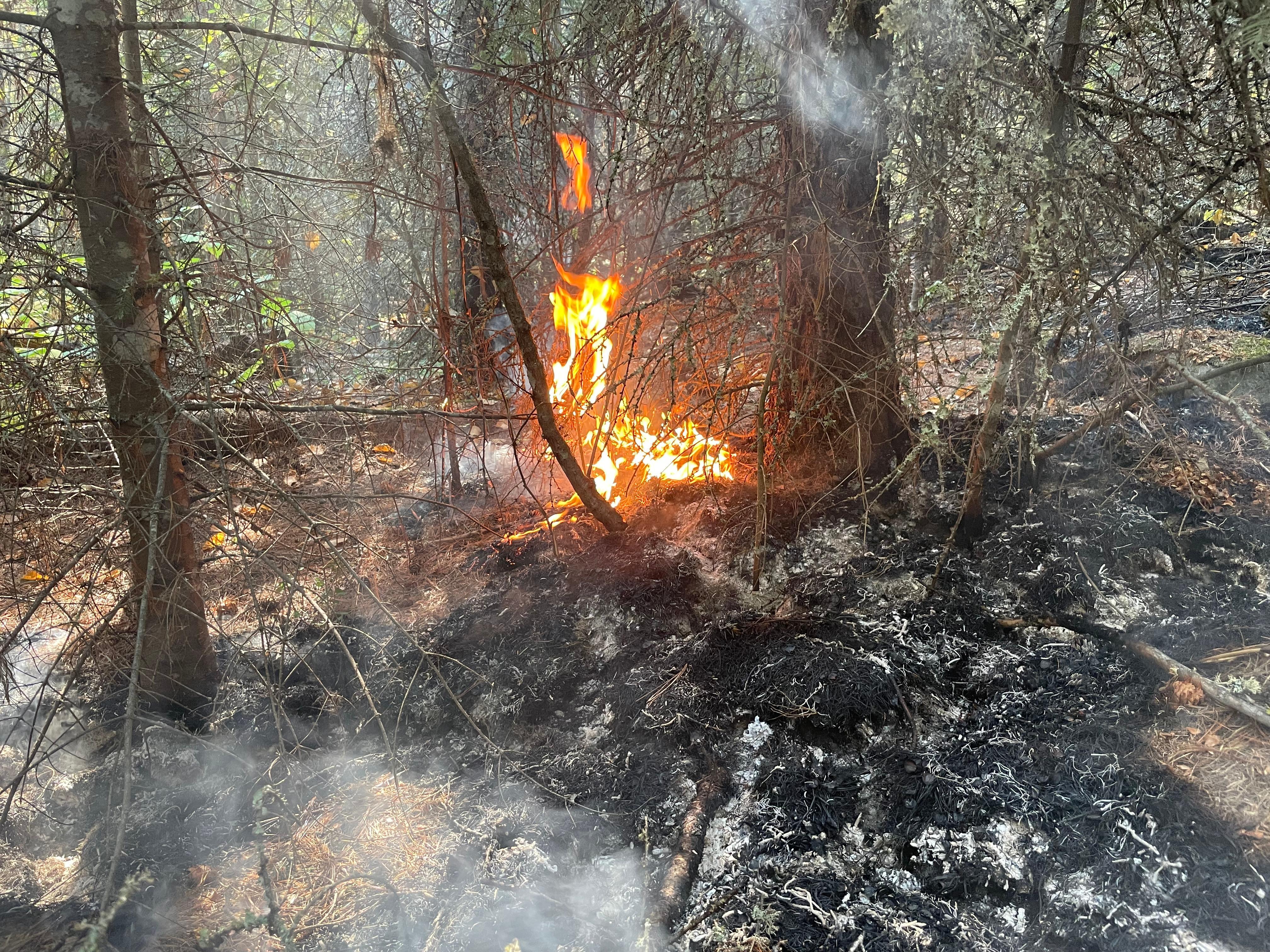
Incident Media Photographs
Could not determine your location.
Kootenai River Complex
Incident Contacts
- IPNF Fire Information LinePhone:208-557-8813
- Kootenai River Complex Fire Information LinePhone:208-202-5021Hours:Monday - Sunday 7am to 9pm
- Bonners Ferry Ranger District - Closure InfoPhone:208-267-5561Hours:Monday - Friday 7:30 am to 4:00 pm
Photographs Gallery
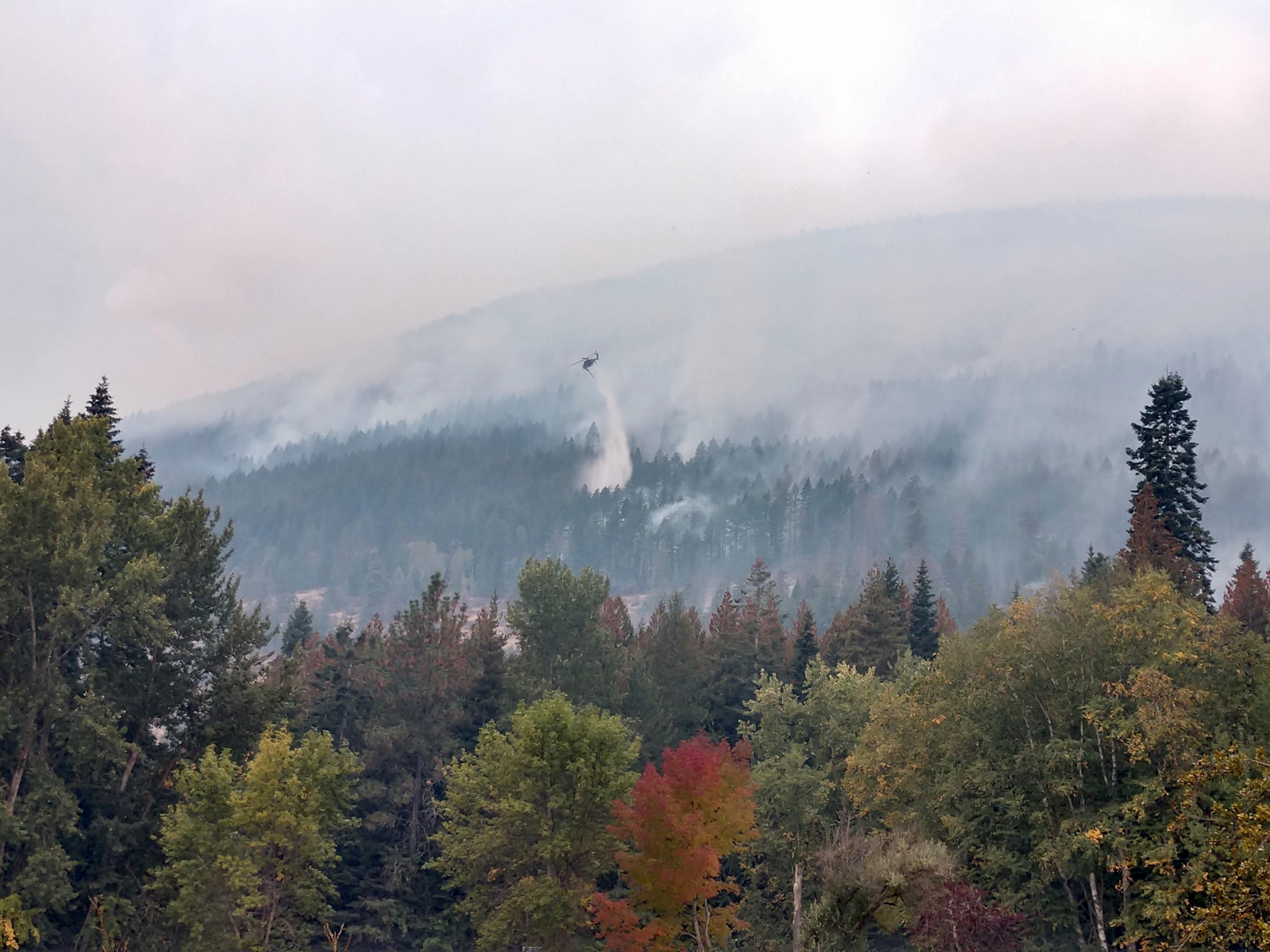
![The Skycrane cooling the fires edge on October 7. The Skycrane, a type 1 helicopter, dropping water at the mouth of Farnham Creek on October 7.](https://inciweb-prod-media-bucket.s3.us-gov-west-1.amazonaws.com/s3fs-public/styles/max_2600x2600/public/2022-10/2022_10_08-11.07.31.136-CDT.jpeg?VersionId=WxiqyE0a5FBIihuRjsPpsi.zQW0YZKC1&itok=gwLoVPoS)
The Skycrane, a type 1 helicopter, dropping water at the mouth of Farnham Creek on October 7.
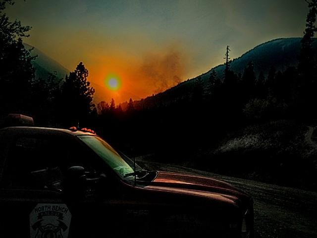
![Engine 993 at Sunset on Oct. 5 On Oct. 5, fire activity increased in some areas as anticipated. The areas with the most smoke are primarily interior pockets of fuel burning.](https://inciweb-prod-media-bucket.s3.us-gov-west-1.amazonaws.com/s3fs-public/styles/max_2600x2600/public/2022-10/2022_10_06-09.50.46.096-CDT.jpeg?VersionId=7K9SfDJNPEMhRLFOfOwbsI6kRXj8AgYE&itok=ZpIkCduP)
On Oct. 5, fire activity increased in some areas as anticipated. The areas with the most smoke are primarily interior pockets of fuel burning.
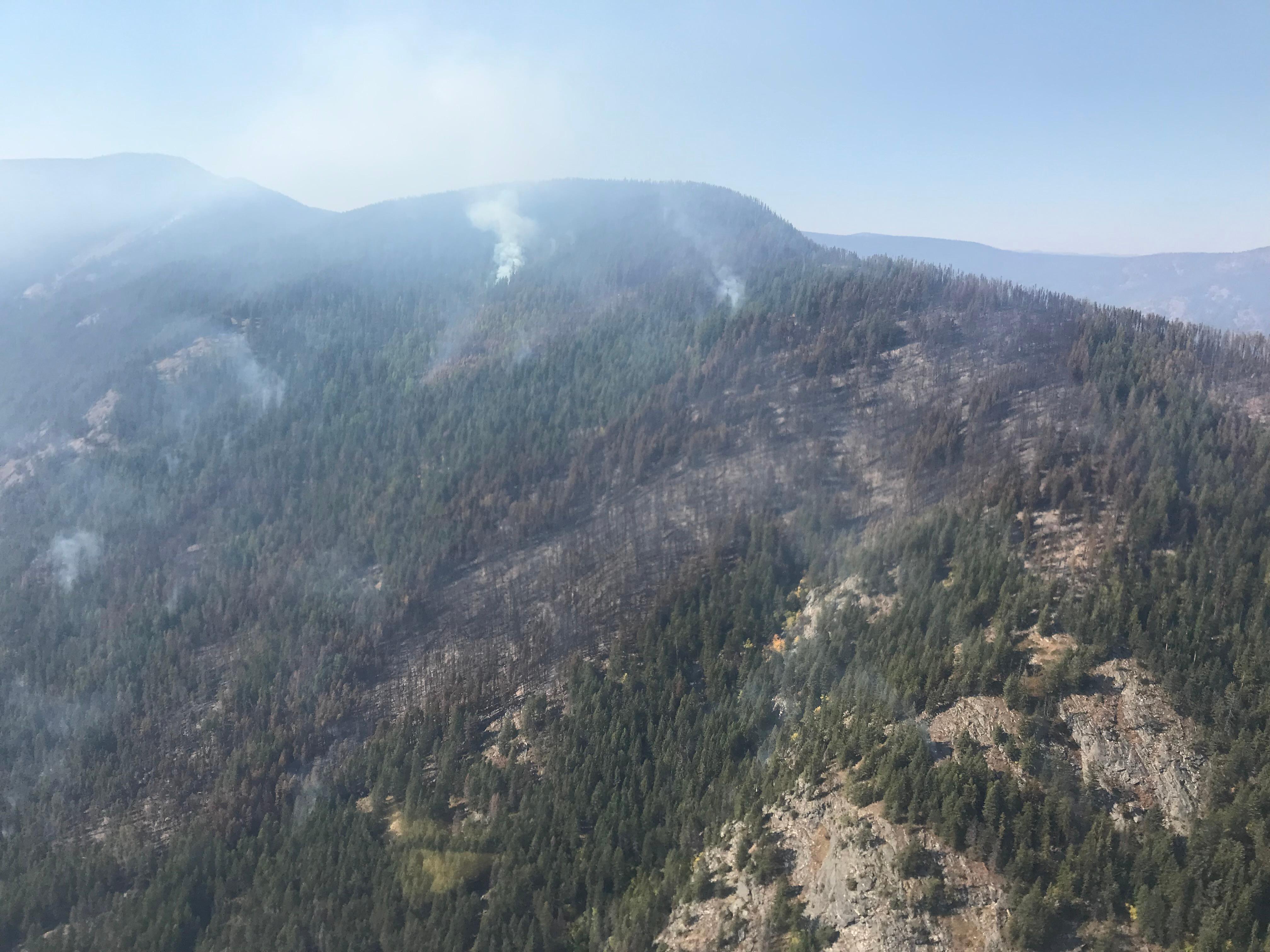
![Long Canyon Fire on October 2 The Long Canyon Fire showed minimal fire activity on October 2.](https://inciweb-prod-media-bucket.s3.us-gov-west-1.amazonaws.com/s3fs-public/styles/max_2600x2600/public/2022-10/2022_10_02-17.56.38.831-CDT.jpeg?VersionId=i0Jn_NFahSS.vek3cXOyKVSKFsE7tUN2&itok=hUscaA6T)
The Long Canyon Fire on October 2.
![Smoldering on October 1 On October 1, smoldering was more common than actual flames.](https://inciweb-prod-media-bucket.s3.us-gov-west-1.amazonaws.com/s3fs-public/styles/max_2600x2600/public/2022-10/2022_10_02-11.25.07.716-CDT.jpeg?VersionId=_M7HeAcV7roa4BR14Ey54k7Jh81GgPid&itok=qga6NkcW)
After the rain on Sept. 29 and 30, the fires smoldered on October 1.
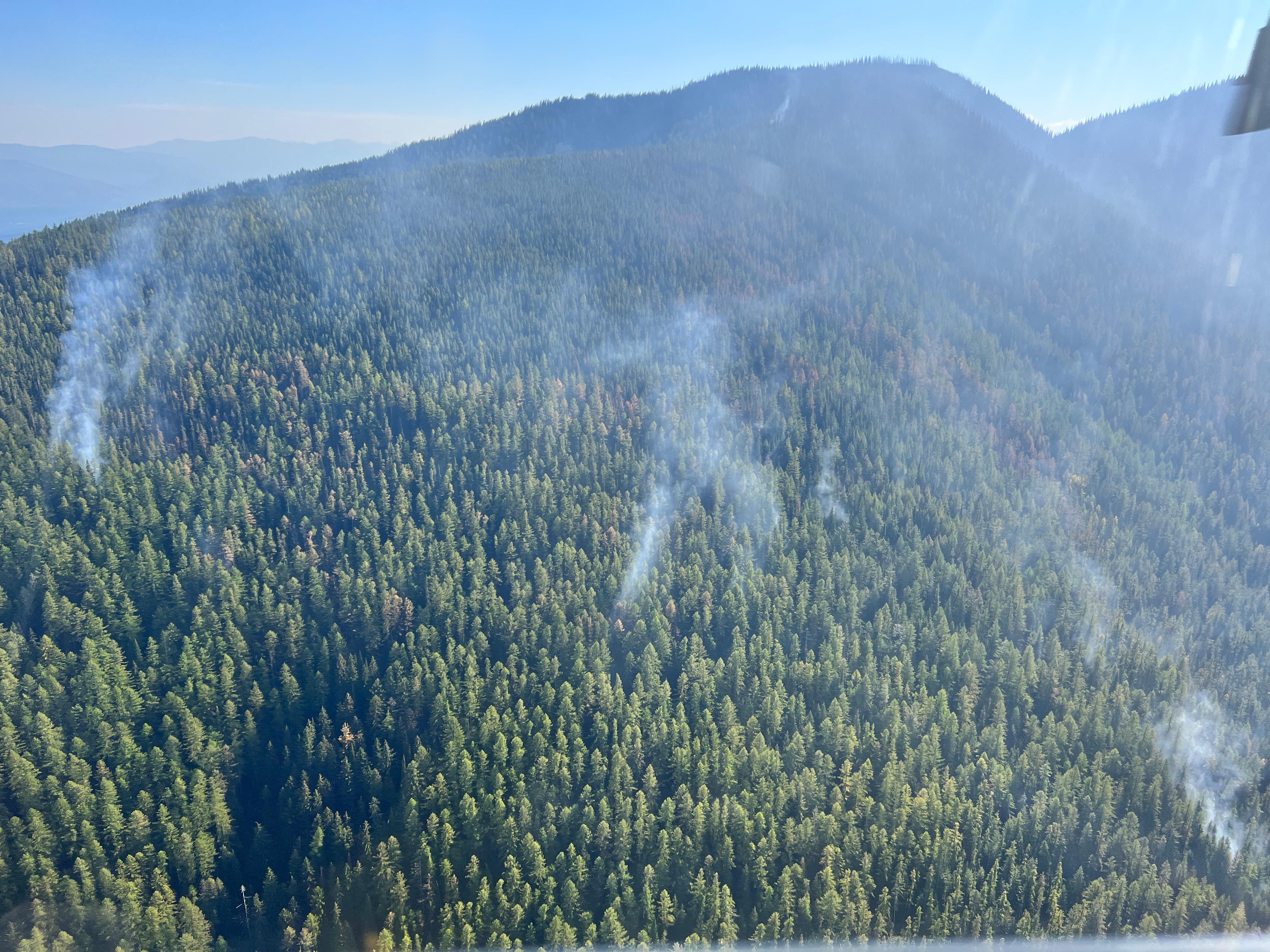
![Katka Fire on October 2 The Katka Fire showed minimal fire activity on October 2.](https://inciweb-prod-media-bucket.s3.us-gov-west-1.amazonaws.com/s3fs-public/styles/max_2600x2600/public/2022-10/2022_10_02-17.39.32.678-CDT.jpeg?VersionId=3CYYJmIPjF4rsJeFDVmRce4srd.iJhHg&itok=dxDe4Q26)
The Katka Fire on October 2.
![Fire activity on October 1 On October 1, flames were less frequent than smoldering and flame lengths were minimal.](https://inciweb-prod-media-bucket.s3.us-gov-west-1.amazonaws.com/s3fs-public/styles/max_2600x2600/public/2022-10/2022_10_02-11.03.46.608-CDT.jpeg?VersionId=FFbYcUathwM5BbaZzNPzWE.hTvVvg0wE&itok=5KaKaTYU)
Fire activity on October 1 was minimal. Smoldering was more common than flames throughout the fire areas.
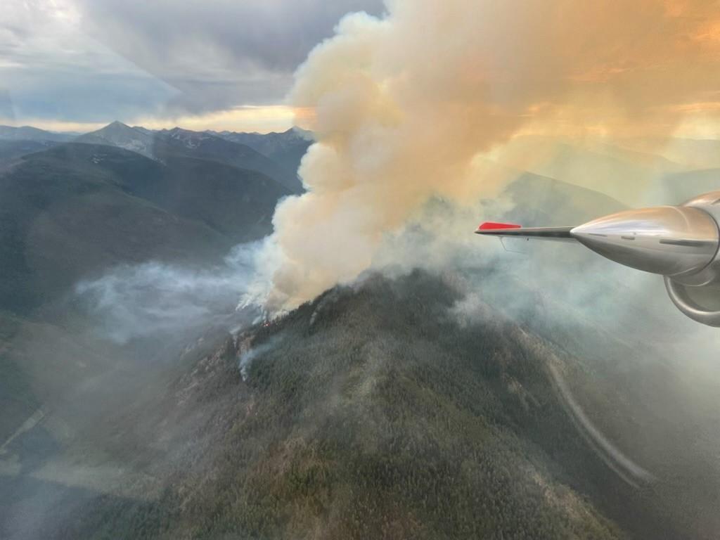
![Aerial View of Long Canyon Fire Sept 28, 2022 View from above Long Canyon Fire as it burns towards the ridge top, showing heavy smoke lifting from the fire.](https://inciweb-prod-media-bucket.s3.us-gov-west-1.amazonaws.com/s3fs-public/styles/max_2600x2600/public/2022-10/2022_09_29-08.39.15.340-CDT.jpeg?VersionId=eeqaxszu7Htf_mVg_iyda7XZqtAA0NY9&itok=v8pOgu_7)
View from above Long Canyon Fire as it burns towards the ridge top
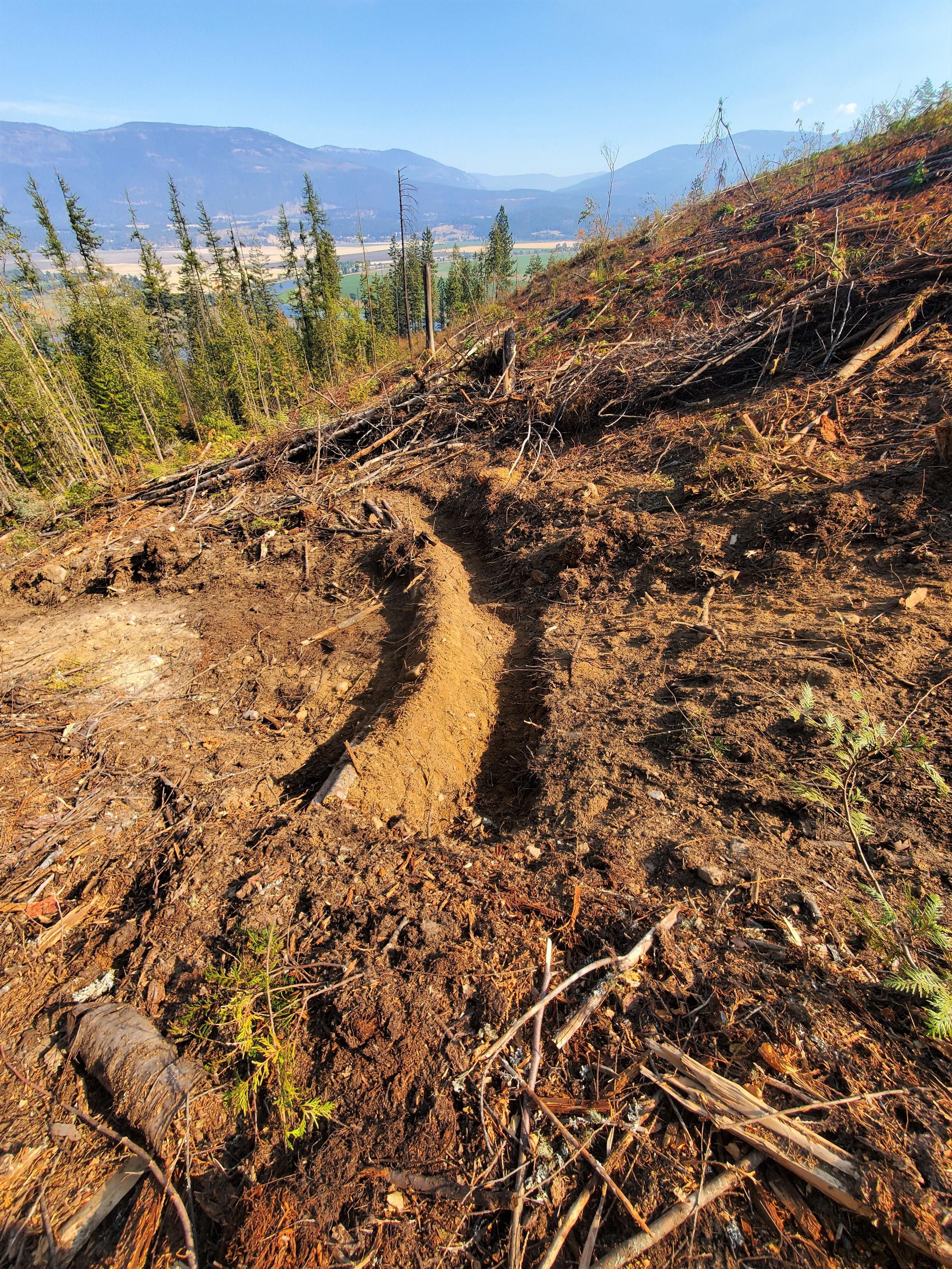
![Water Bar on Dozer Line, Kootenai River Complex Water bar across a dozer line, a diagonal mound of sand and gravel built to divert water runoff and erosion downslope.](https://inciweb-prod-media-bucket.s3.us-gov-west-1.amazonaws.com/s3fs-public/styles/max_2600x2600/public/2022-10/2022_09_25-10.22.09.900-CDT.jpeg?VersionId=P7HwuTtngocvgg2.JbPf8No8p4HvuuX7&itok=zue4g0tC)
Water bar constructed across a dozer line to divert water runoff and erosion downslope.
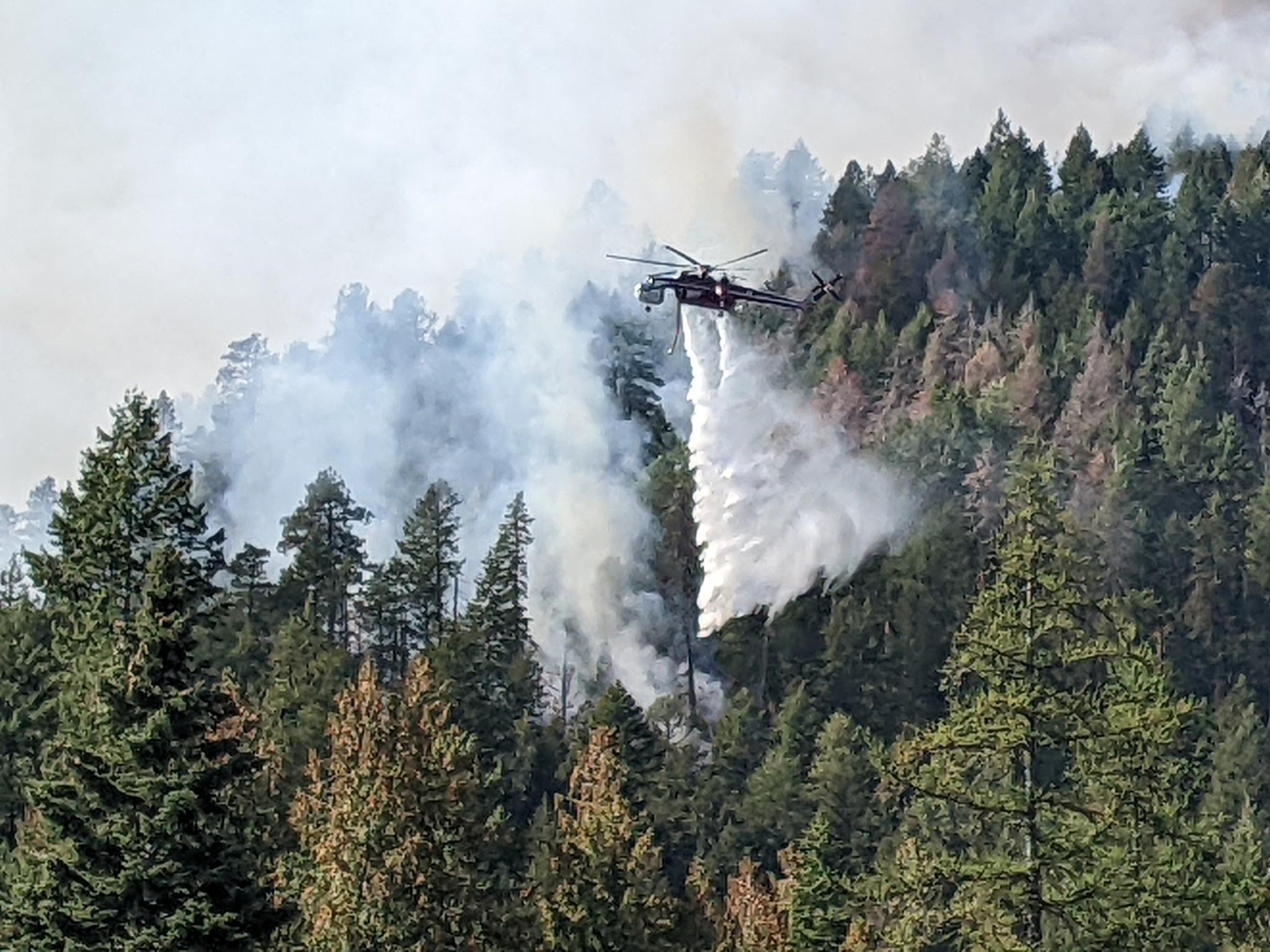
![Helicopter Water Drop Fire officials reported some increased fire activity along Westside Road near Trout Creek Road prompting a few water drops using a heavy helicopter to knock down the fire's intensity](https://inciweb-prod-media-bucket.s3.us-gov-west-1.amazonaws.com/s3fs-public/styles/max_2600x2600/public/2022-10/2022_09_22-09.32.23.678-CDT.jpeg?VersionId=6v5h0VAkZiFP2rYL9s8iltRSmxoXvRak&itok=oDNV95Ux)
Fire officials reported some increased fire activity along Westside Road near Trout Creek Road prompting a few water drops using a heavy helicopter to knock down the fire's intensity
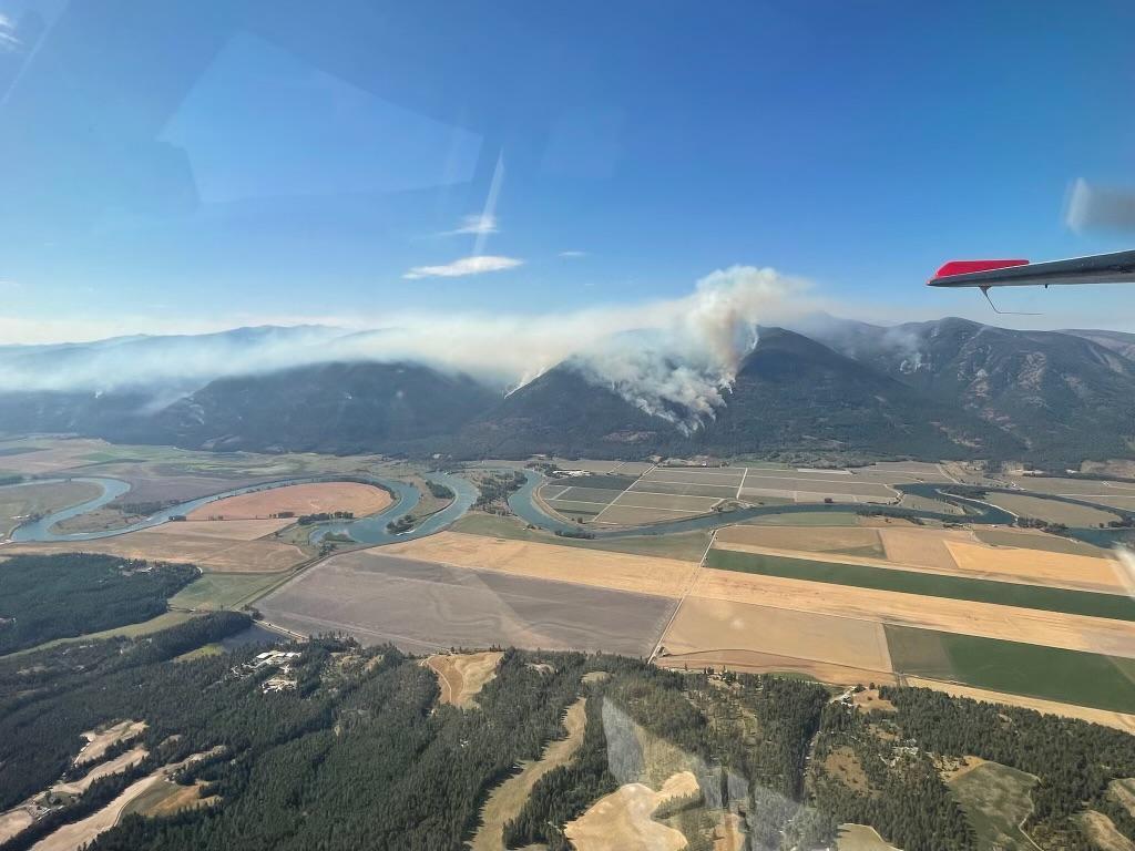
![Russell Mountain Fire From the Air, 9/21/22 View of smoke from Russell Mountain Fire from a helicopter.](https://inciweb-prod-media-bucket.s3.us-gov-west-1.amazonaws.com/s3fs-public/styles/max_2600x2600/public/2022-10/2022_09_21-17.35.42.208-CDT.jpeg?VersionId=n84_il1UZTJnAWEkSeHOrtpG1ImQ8zQJ&itok=BncmCkem)
Pilot Ryan Sundberg captures birds-eye view of smoke on Russell Mountain Fire.
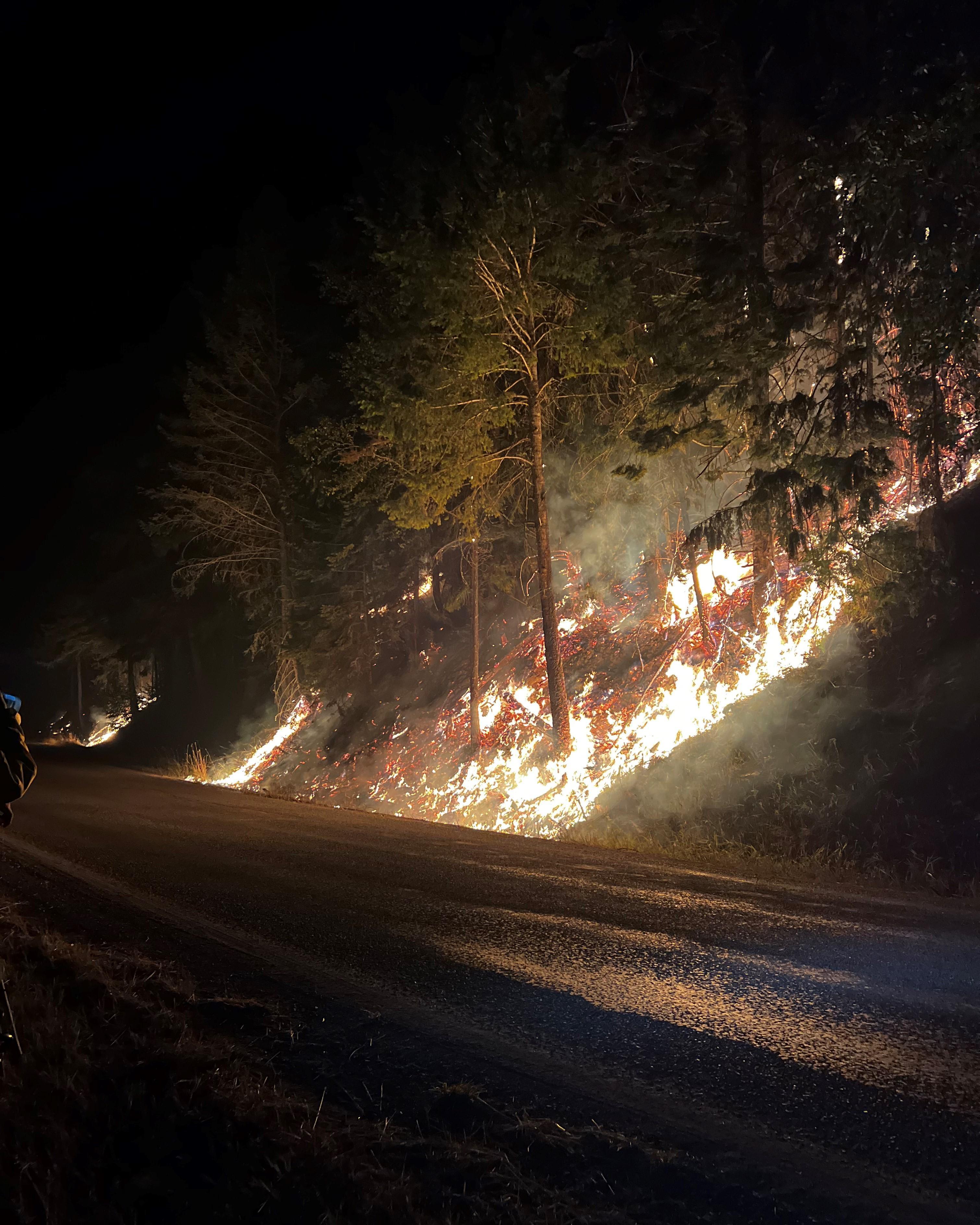
![Night Operations, Kootenai River Complex 9/21/22 Fire as seen at night from Westside Rd, flames burning uphill.](https://inciweb-prod-media-bucket.s3.us-gov-west-1.amazonaws.com/s3fs-public/styles/max_2600x2600/public/2022-10/2022_09_21-17.28.13.014-CDT.jpeg?VersionId=WsLbz4UHzJWaj7A4qQo2JwVUe1SVWJJz&itok=uvcDNmZD)
Fire as seen at night from Westside Rd. Photo taken 9/21/22