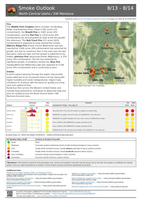
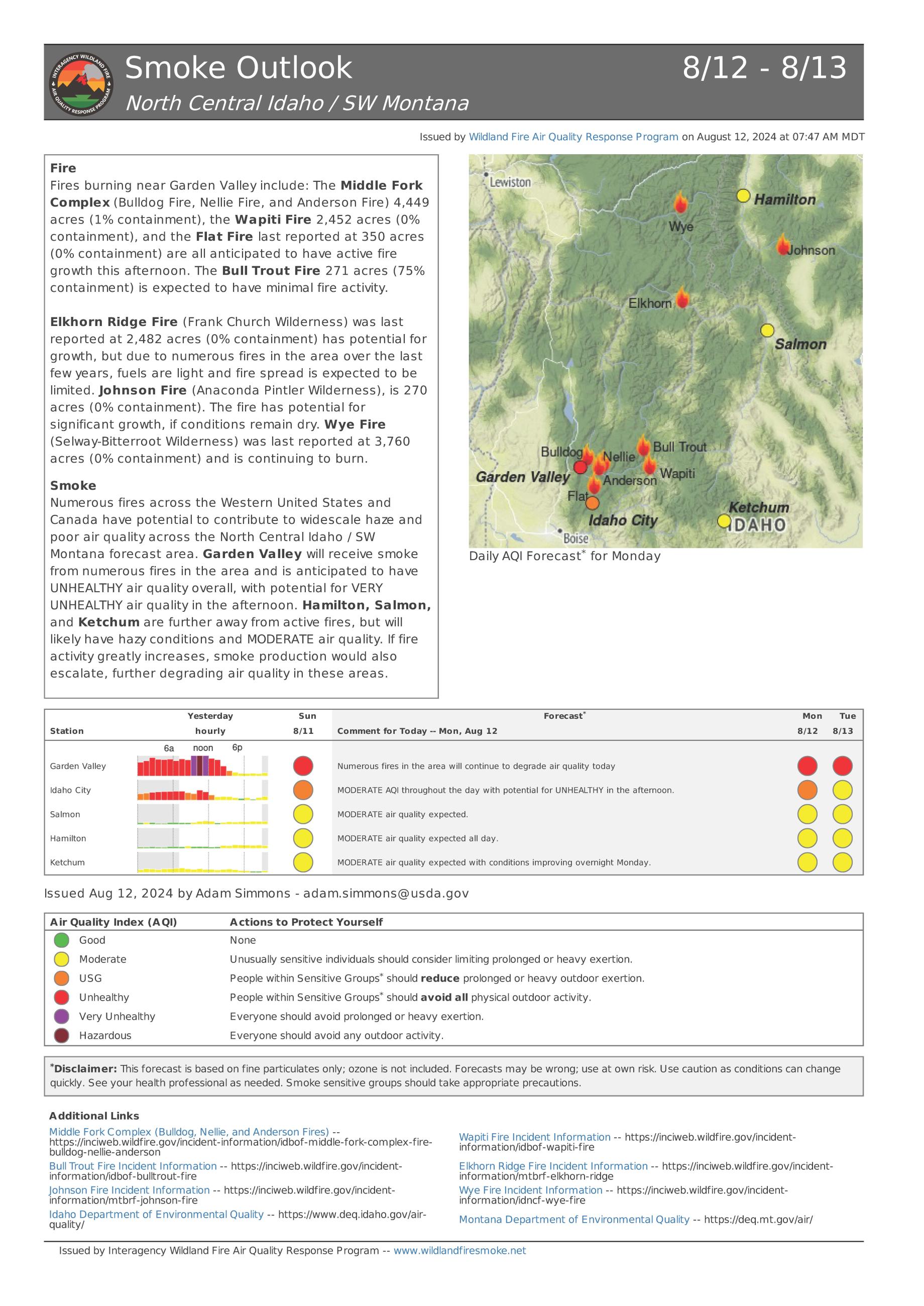
Incident Media Photographs
Could not determine your location.
Photographs Gallery
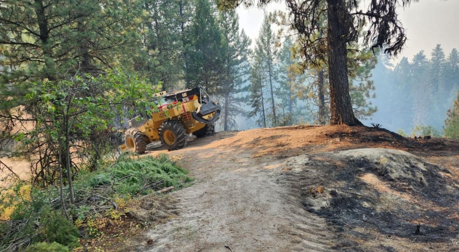
Heavy equipment working to assist hand crews with "mopping up" hot spots along the fire's perimeter on the south side of the Bulldog Fire. The photo shows the unburned fuels on one side of the dozer line with the burned fuels on the other side, showcasing the effectiveness of the dozer line in preventing the spread of the fire further south.
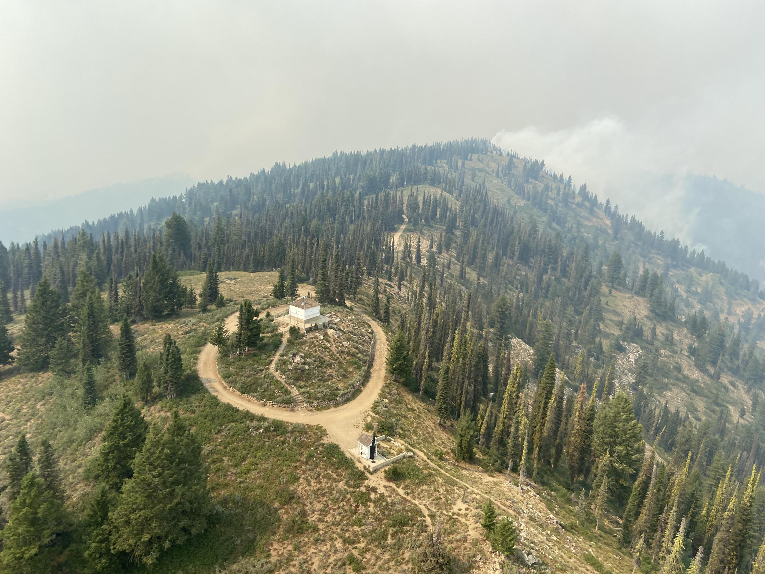
View of Deadwood Lookout on the Nellie Fire on 8/12 taken by Long Term Analyst, Jon Rieck
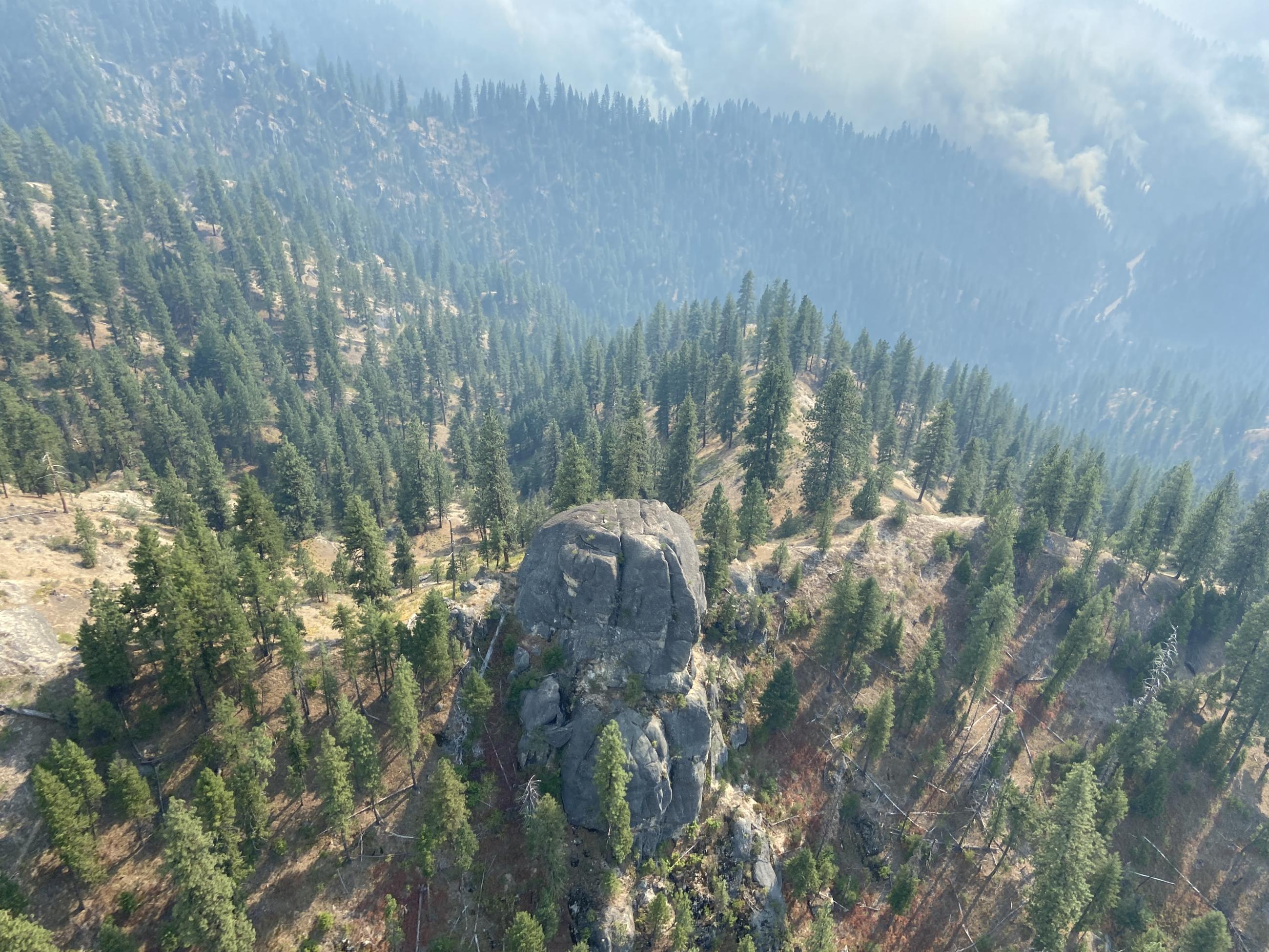
An aerial view of the Bulldog Fire taken by Jon Rieck, Long Term Analyst
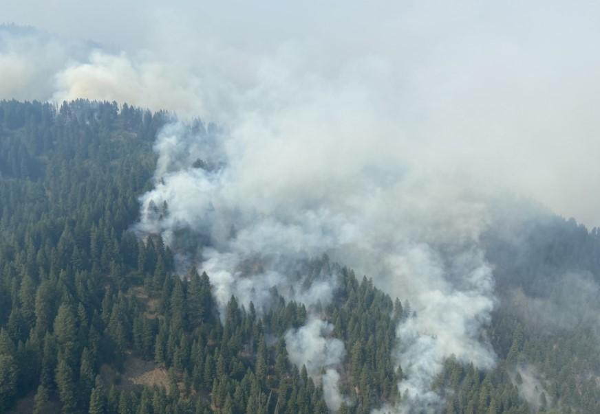
Aerial View of the Nellie Fire on 8/12 taken by Jon Rieck, Long Term Analyst
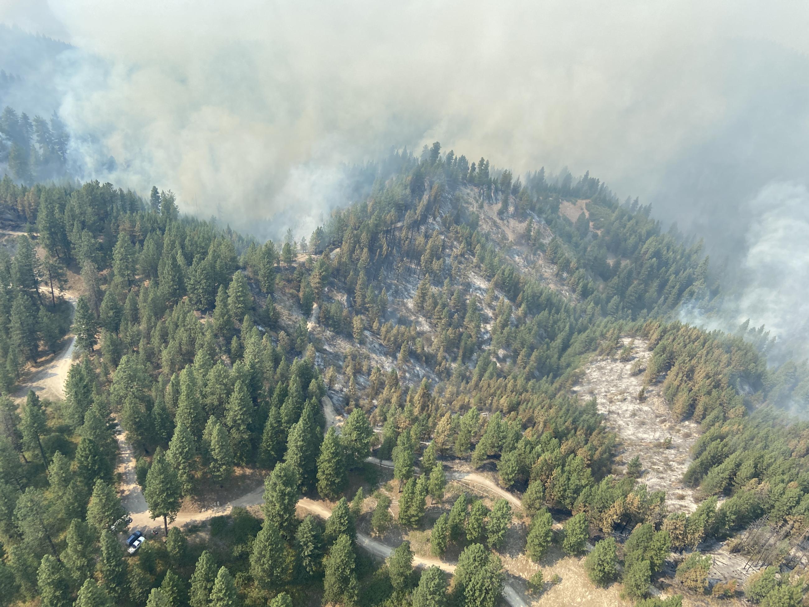
An Aerial View of Smoke on the Bulldog Fire on 8/12. Photo taken by Jon Rieck, Long Term Analyst.
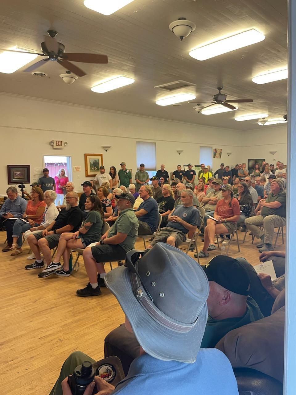
About 150 community members joined for the Middle Fork Complex, Wapiti, and Bulltrout Fire Community Meeting in Crouch on August 11.
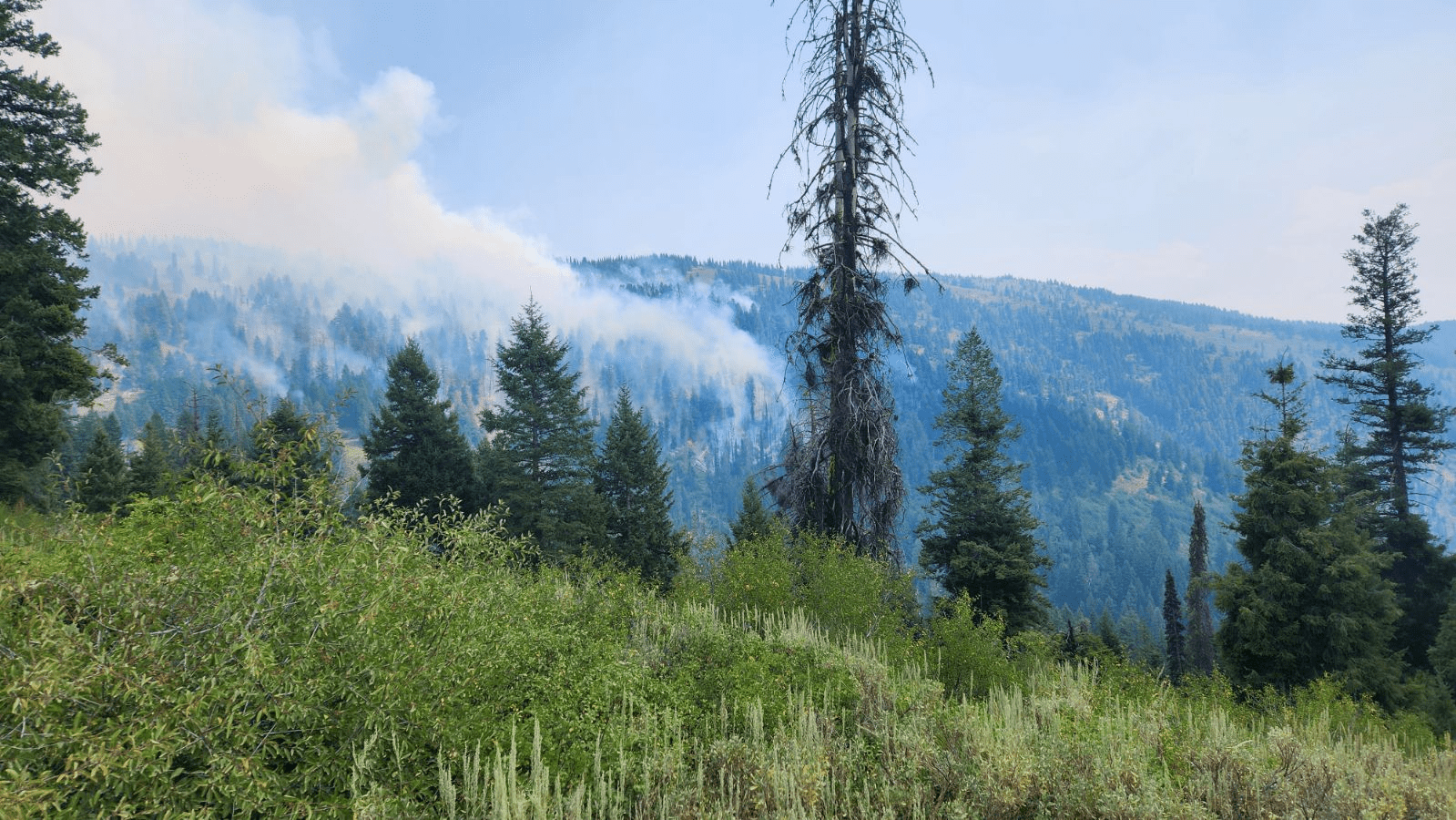
A view of the fire activity on the Nellie Fire as seen from the 555 road, looking northeast. Photo taken by Kevin Smith, Operations Section Chief
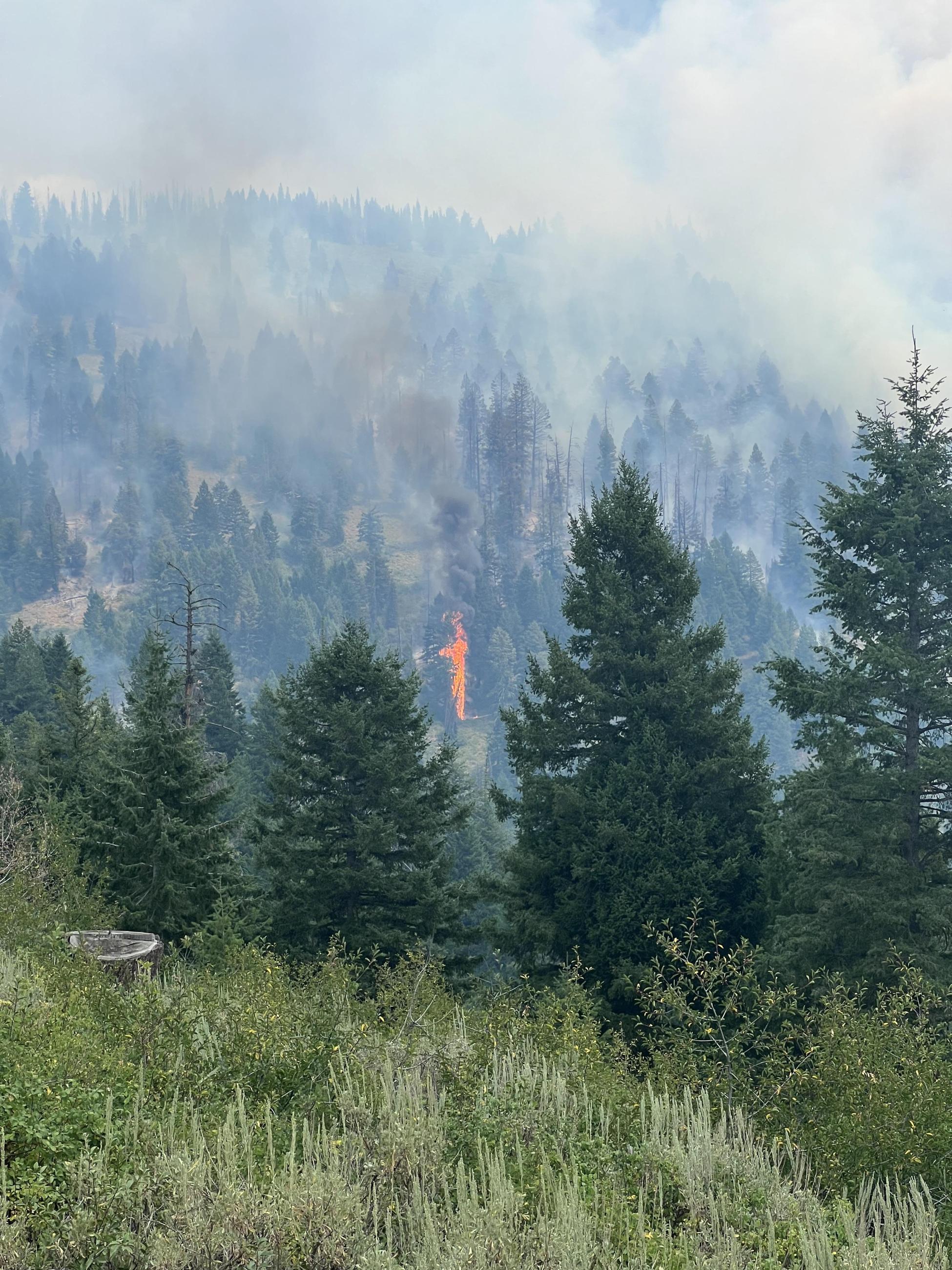
Photo taken by Long Term Fire Analyst, Jon Rieck, from an elevation about 7000' on Aug 11 at about 3pm. This photo is looking east at the southern end of the Nellie Fire.
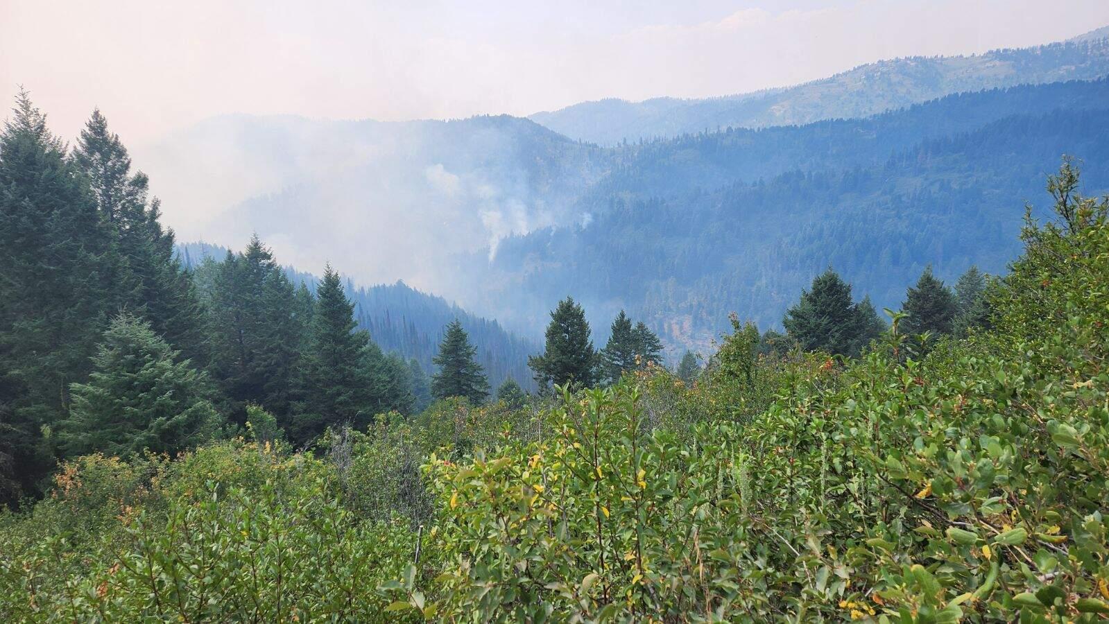
A view of the Anderson Fire from the 555 road looking southwest. Photo taken by Kevin Smith, Operations Section Chief.
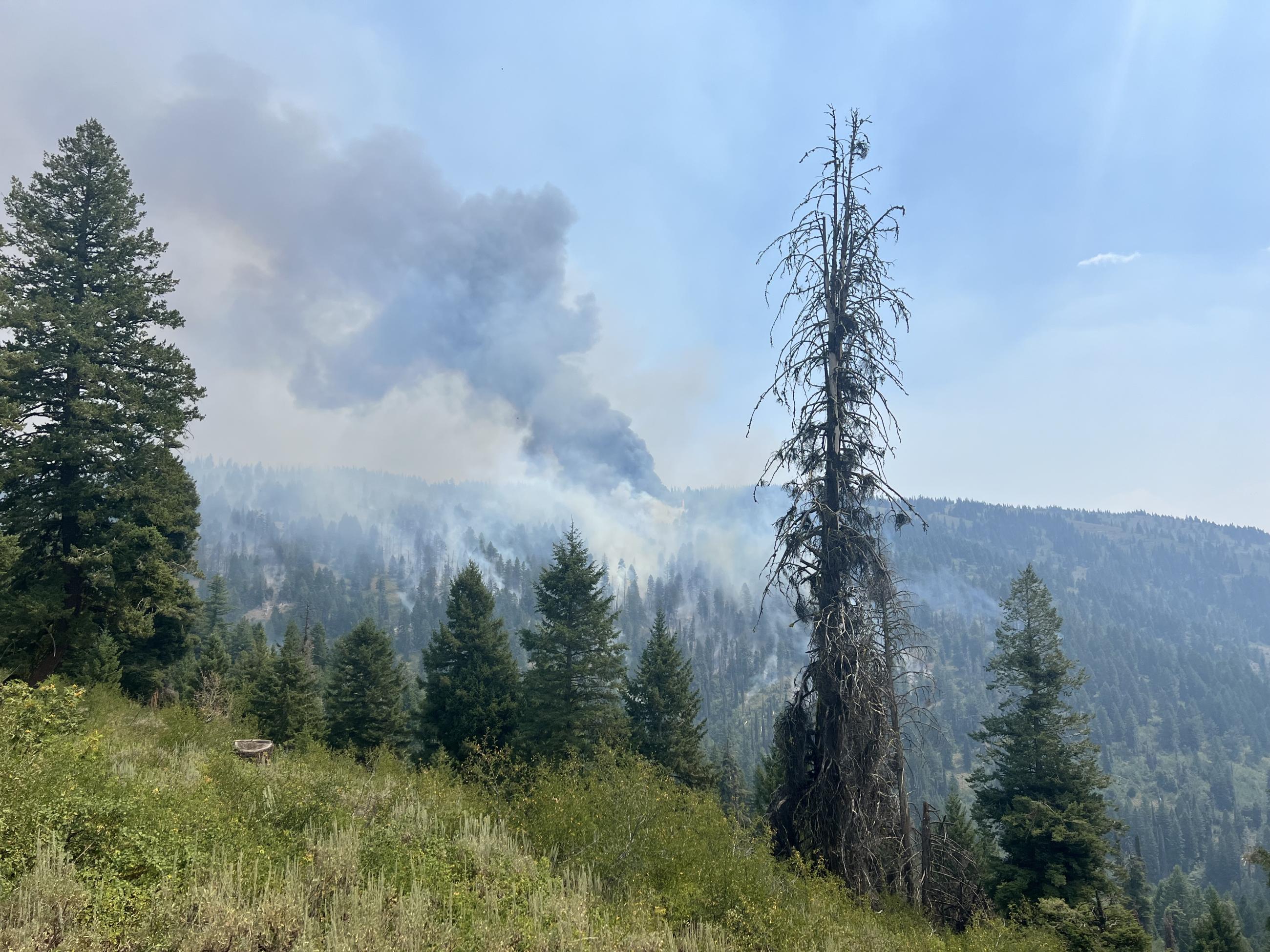
A plume of smoke on the southern edge of the Nellie Fire. Taken by long term analyst, Jon Reick, from an elevation about 7000' looking east on Aug 11 at about 3pm.

 InciWeb
