
Incident Media Photographs
Could not determine your location.
 Wildfire
 Prescribed Fire
 Burned Area
Response
Burned Area
Response Other
Other
Mill Creek 2 Fire
Unit Information
Incident Contacts
- Public InformationPhone:(970) 426-5370Hours:8a.m. - 8p.m.
Photographs Gallery
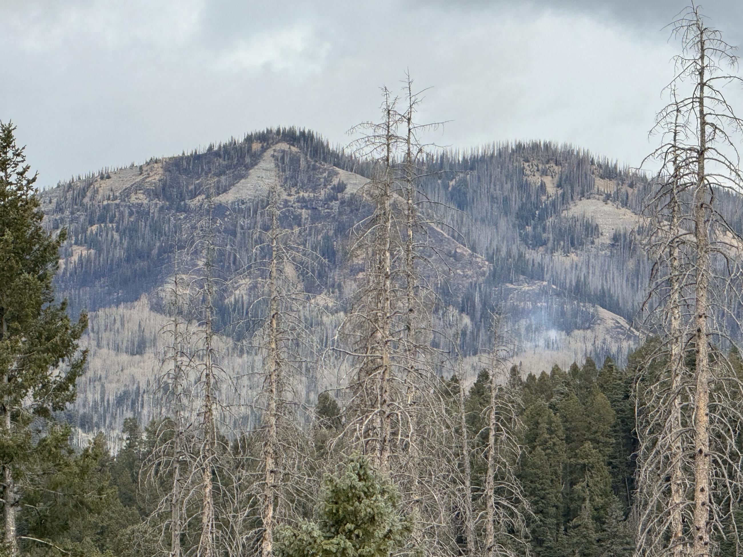
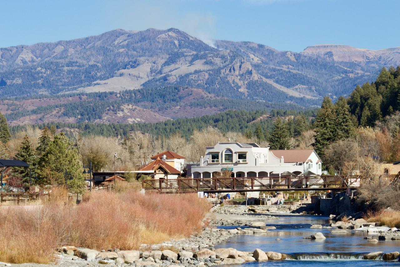
View of the Mill Creek 2 Fire, located in remote terrain 10 miles northeast of Pagosa Springs
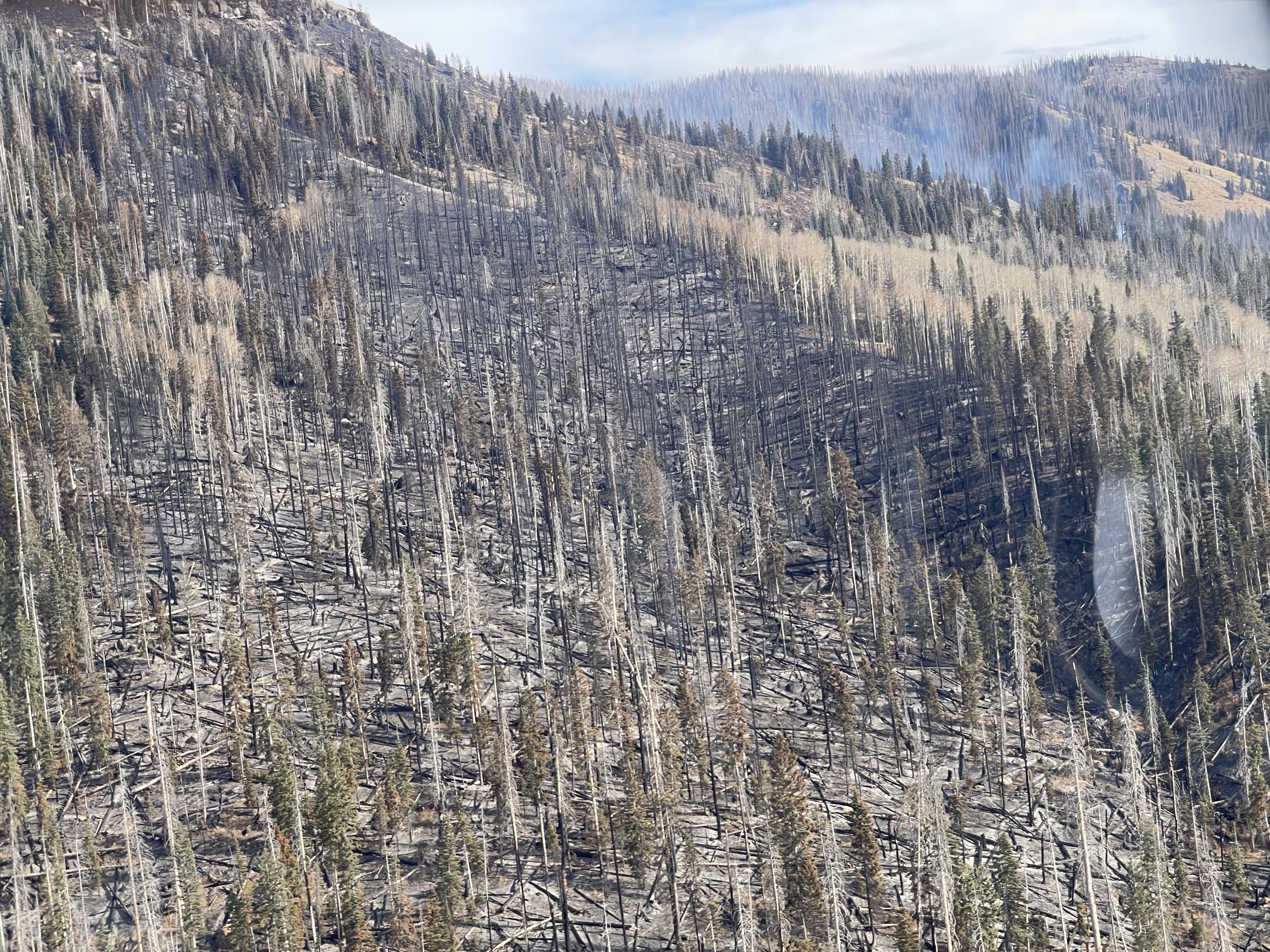
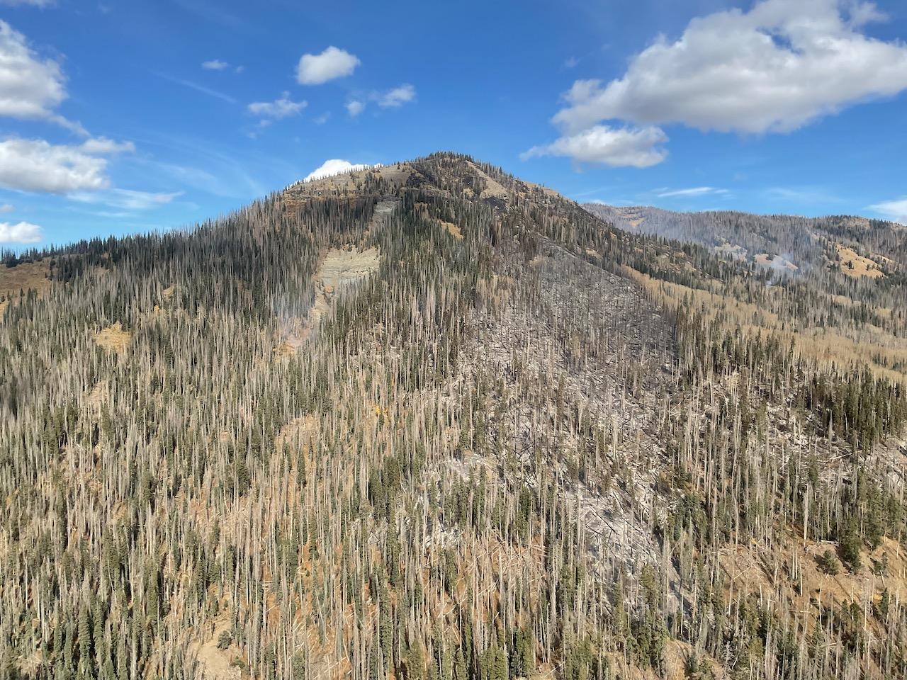
Nov. 15, 2023: Terrain blackened by the fire in the foreground, current fire activity in the background.
The Mill Creek Fire is located in high, remote terrain northeast of Pagosa Springs. The fire is burning in several isolated locations. There are significant numbers of dead trees, standing and down on the ground, that are providing fuel for the fire to burn.
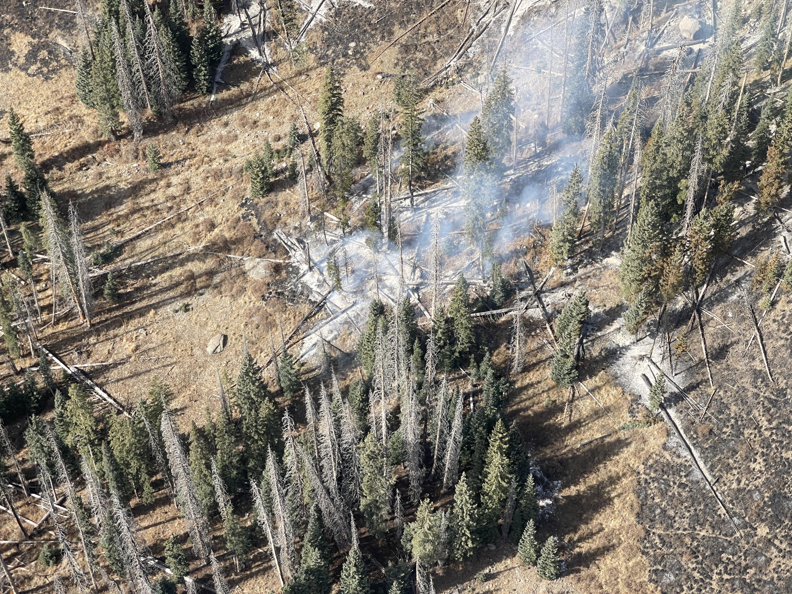
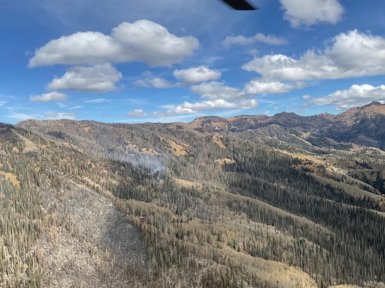
Aerial photo of fire activity on the Mill Creek 2 Fire, November 11, 2023
An image from a flight over the Mill Creek 2 Fire 11/6/23.
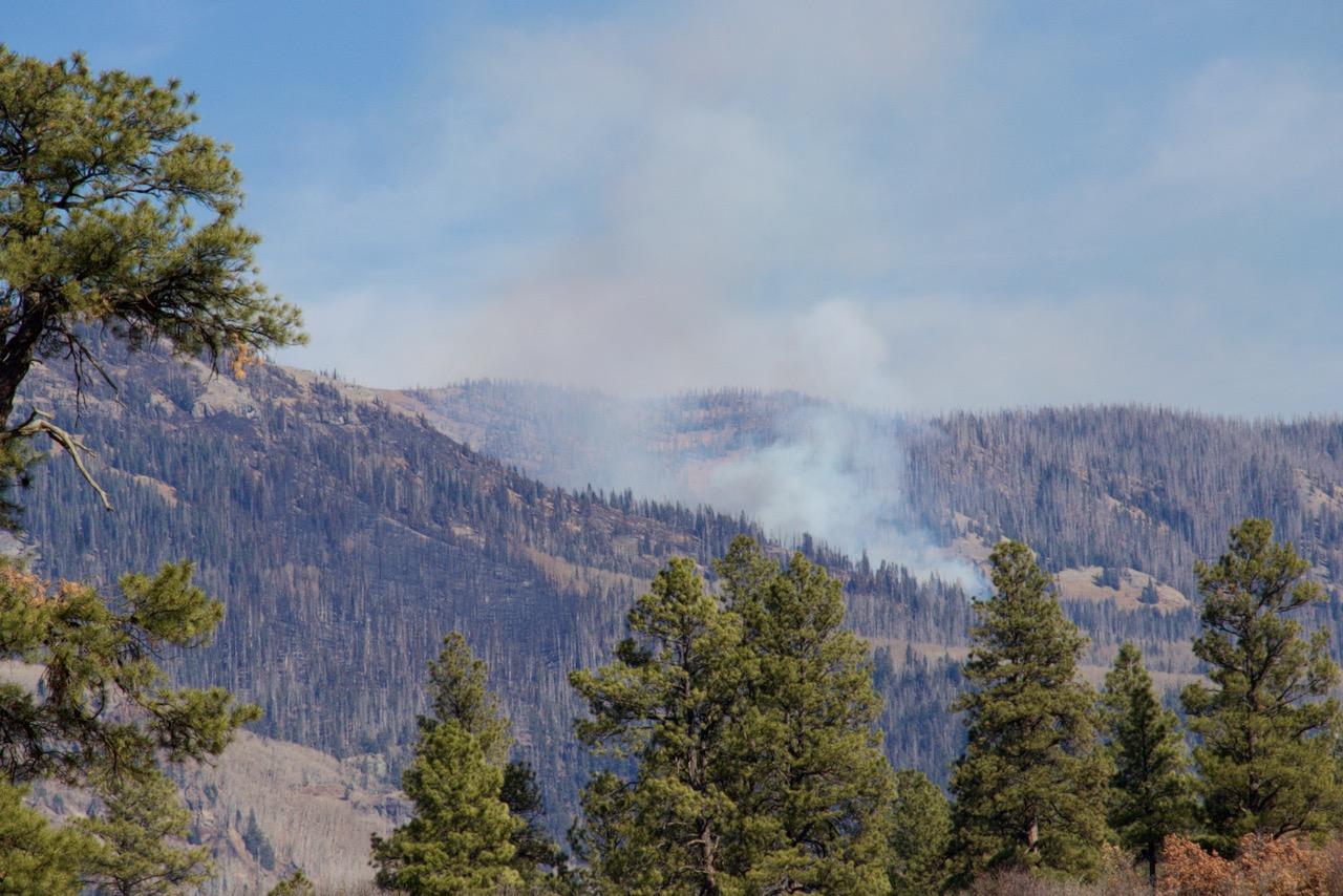
Winds caused an increase in smoke on Mill Creek 2 from 11/5/23 through 11/6/23.
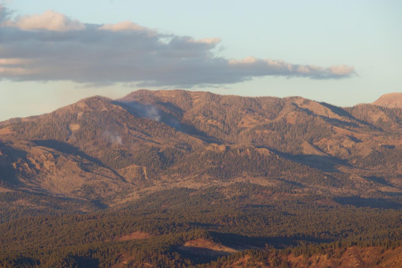
Mill Creek 2 Fire at dusk, as seed from Eight Mile Mesa 11-8-23
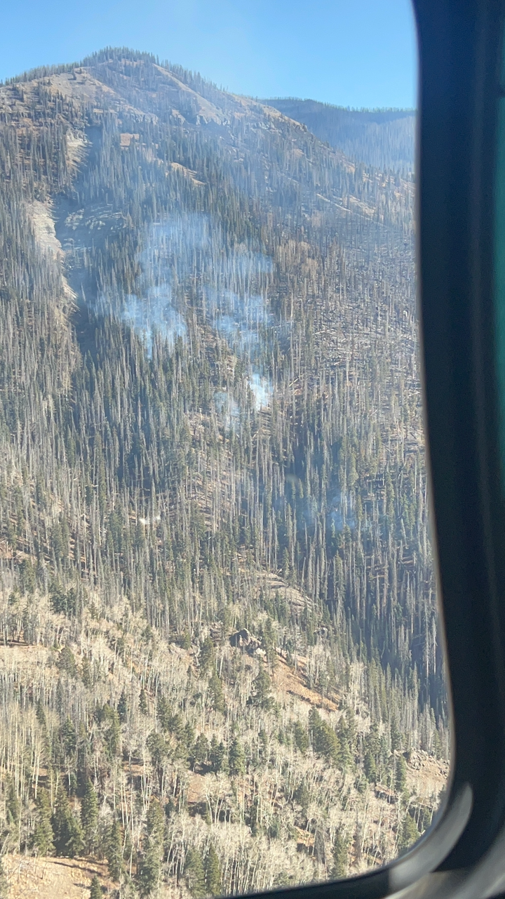
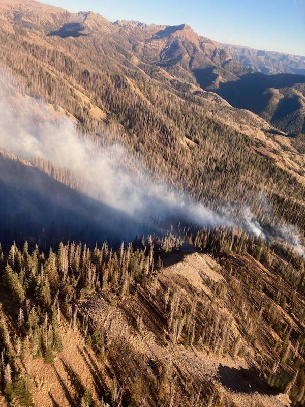
Aerial photo of Mill Creek 2 Fire on 10-27-23
Plume of smoke rising from the Mill Creek 2 Fire on 11/6/23.
Aerial photo of Mill Creek 2 Fire on 10-27-23
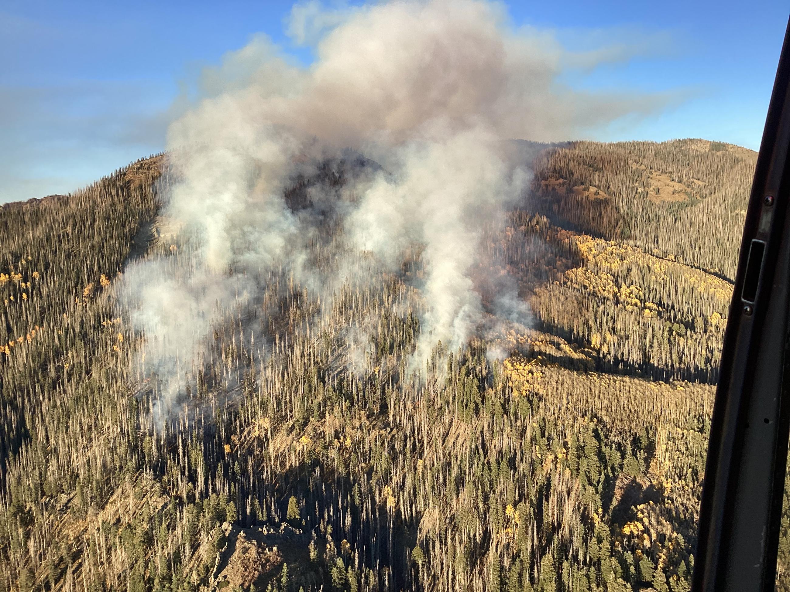
Photo taken October 21 from a helicopter showing the Mill Creek 2 Fire burning up in mountains northeast of Pagosa Springs, CO