Incident Media Photographs
Could not determine your location.
Photographs Gallery
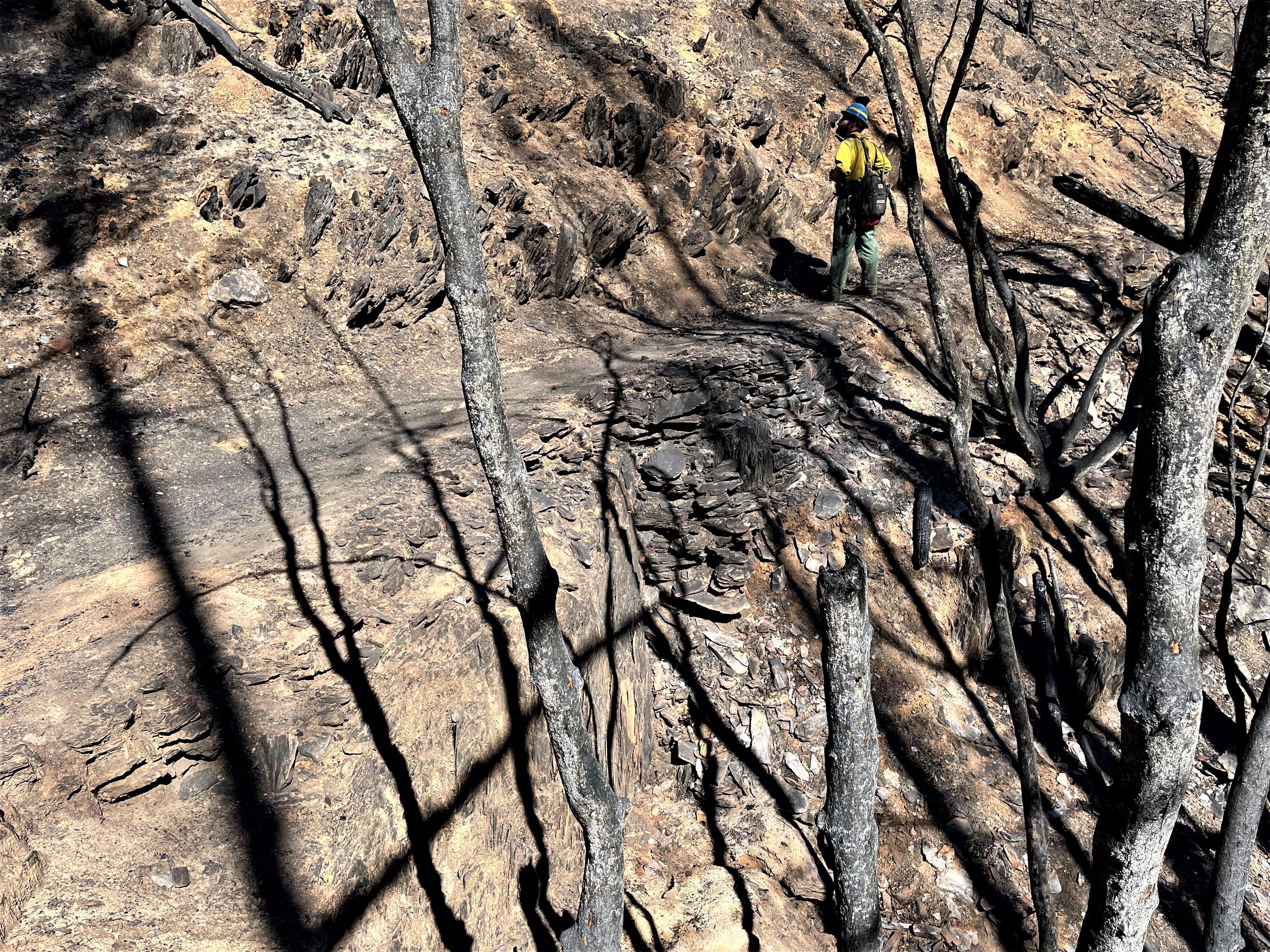
![Burned Western States Trail in Eldorado Canyon Image showing Burned Western States Trail in Eldorado Canyon](https://inciweb-prod-media-bucket.s3.us-gov-west-1.amazonaws.com/s3fs-public/styles/max_2600x2600/public/2022-10/2022_10_04-18.12.04.342-CDT.jpeg?VersionId=adaJzB34Nd7rYuZvg9i5PqxsrYOG5HZb&itok=HleLdJUH)
Burned Western States Trail in Eldorado Canyon
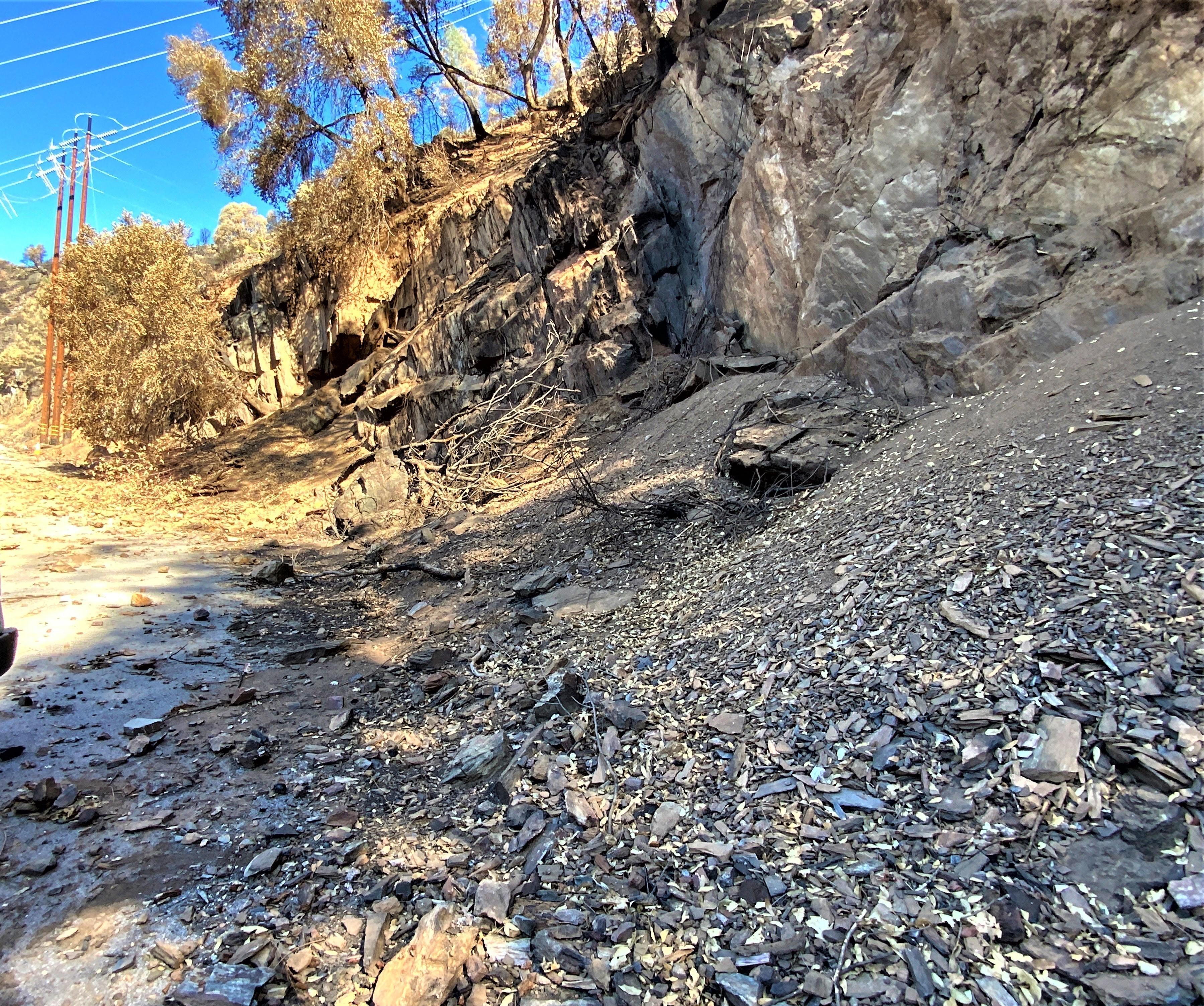
![Rocks and other debris hazards along road Image showing Rocks and other debris hazards along road in Mosquito burned area](https://inciweb-prod-media-bucket.s3.us-gov-west-1.amazonaws.com/s3fs-public/styles/max_2600x2600/public/2022-10/2022_10_04-18.41.03.337-CDT.jpeg?VersionId=PUFLVrSW7JnXrW1HThi7FbFugldciBKo&itok=GjF3T9kW)
Rocks and other debris hazards along road in Mosquito burned area
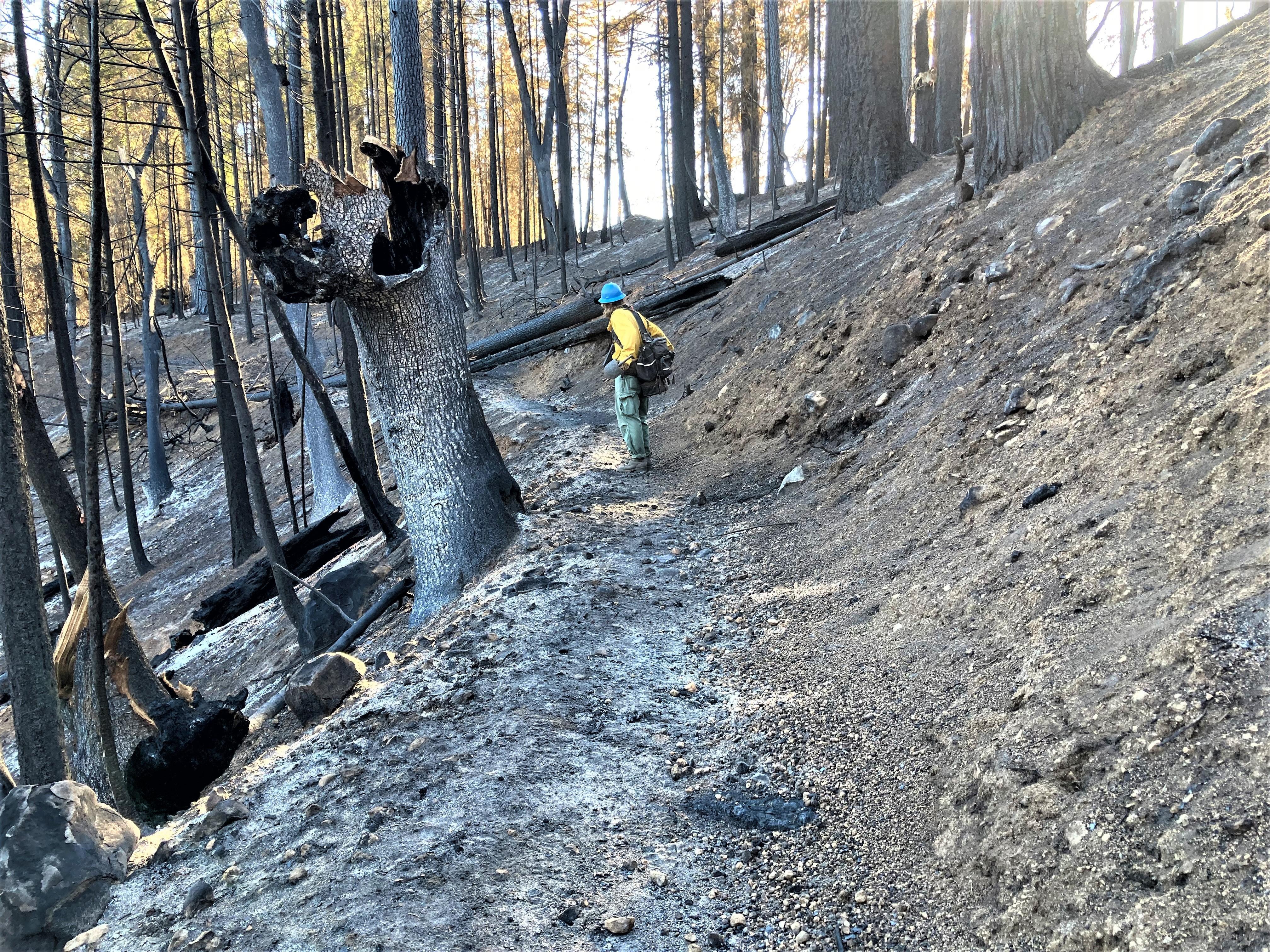
![Burned Loop 6 motorcycle trail Image showing Loop 6 motorcycle trail](https://inciweb-prod-media-bucket.s3.us-gov-west-1.amazonaws.com/s3fs-public/styles/max_2600x2600/public/2022-10/2022_10_04-18.15.12.372-CDT.jpeg?VersionId=JkXZIT1QYrJ_sRso1fTyAwh_B4IobKul&itok=CCvzdRpB)
Loop 6 motorcycle trail
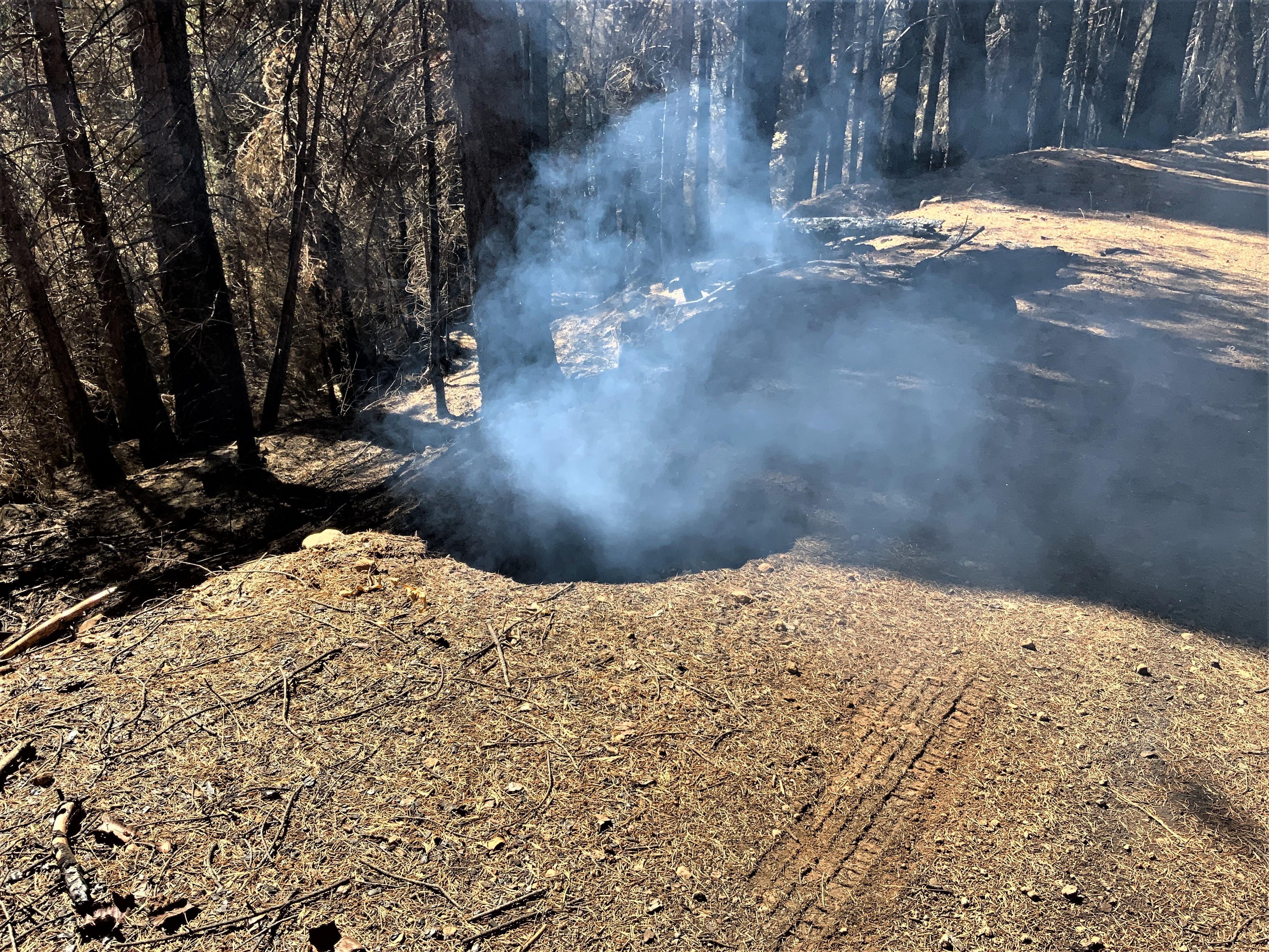
![Smoldering tree stump hole along road Image showing Smoldering tree stump hole along FS Road 13N48 near the Blodgett Experimental Forest in Mosquito burned area](https://inciweb-prod-media-bucket.s3.us-gov-west-1.amazonaws.com/s3fs-public/styles/max_2600x2600/public/2022-10/2022_10_04-18.45.54.133-CDT.jpeg?VersionId=HSrC6LGXR22kbT25rRbxn3EhLosWH6SK&itok=QQ6SoHRy)
Smoldering tree stump hole along FS Road 13N48 near the Blodgett Experimental Forest in Mosquito burned area
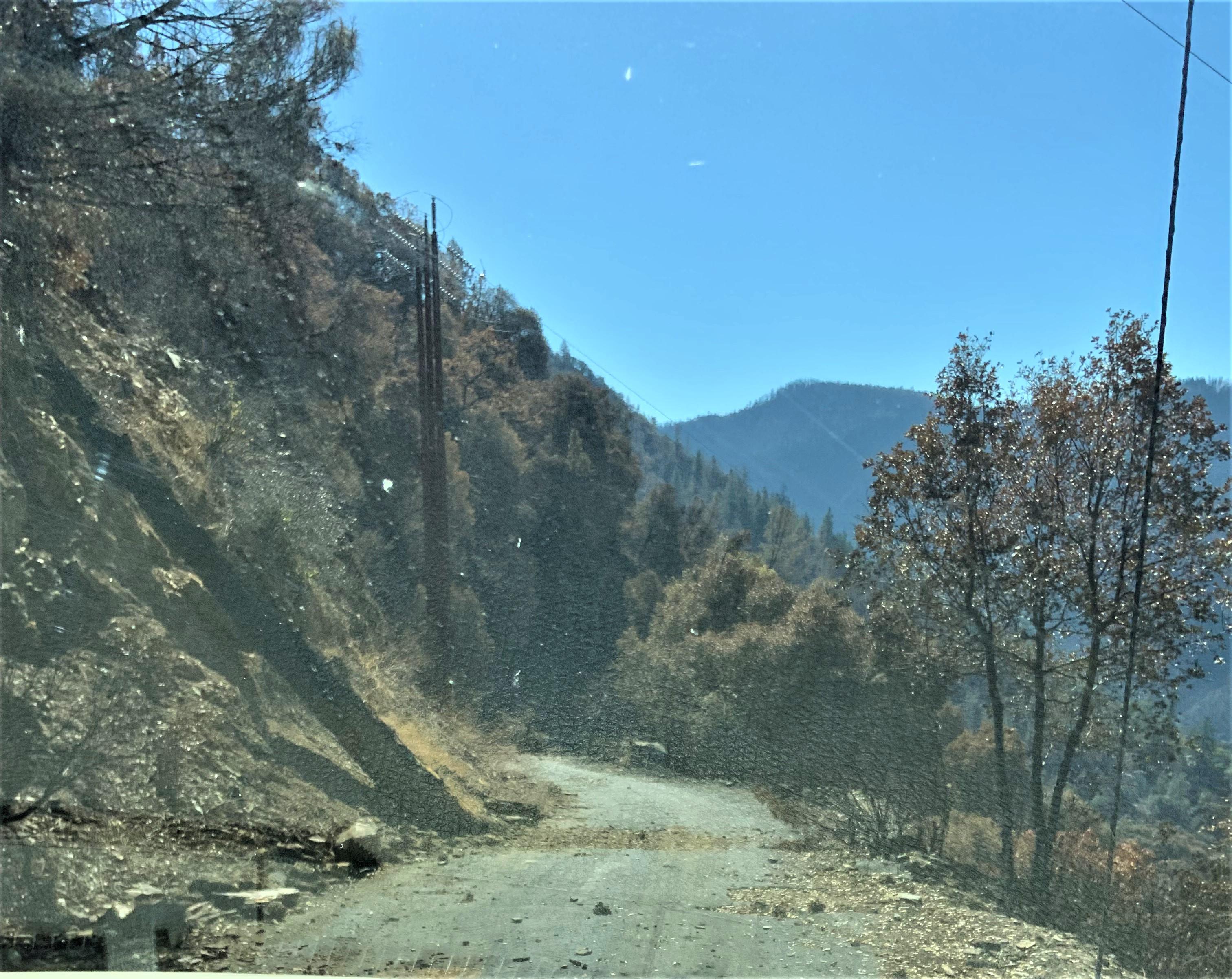
![Rocks and other debris hazards along road Image showing Rocks and other debris hazards along road in Mosquito burned area](https://inciweb-prod-media-bucket.s3.us-gov-west-1.amazonaws.com/s3fs-public/styles/max_2600x2600/public/2022-10/2022_10_04-18.40.34.880-CDT.jpeg?VersionId=Xgc_0E6TyVLL4hnuHSzXbRabEopphuJK&itok=Eslqi_-2)
Rocks and other debris hazards along road in Mosquito burned area
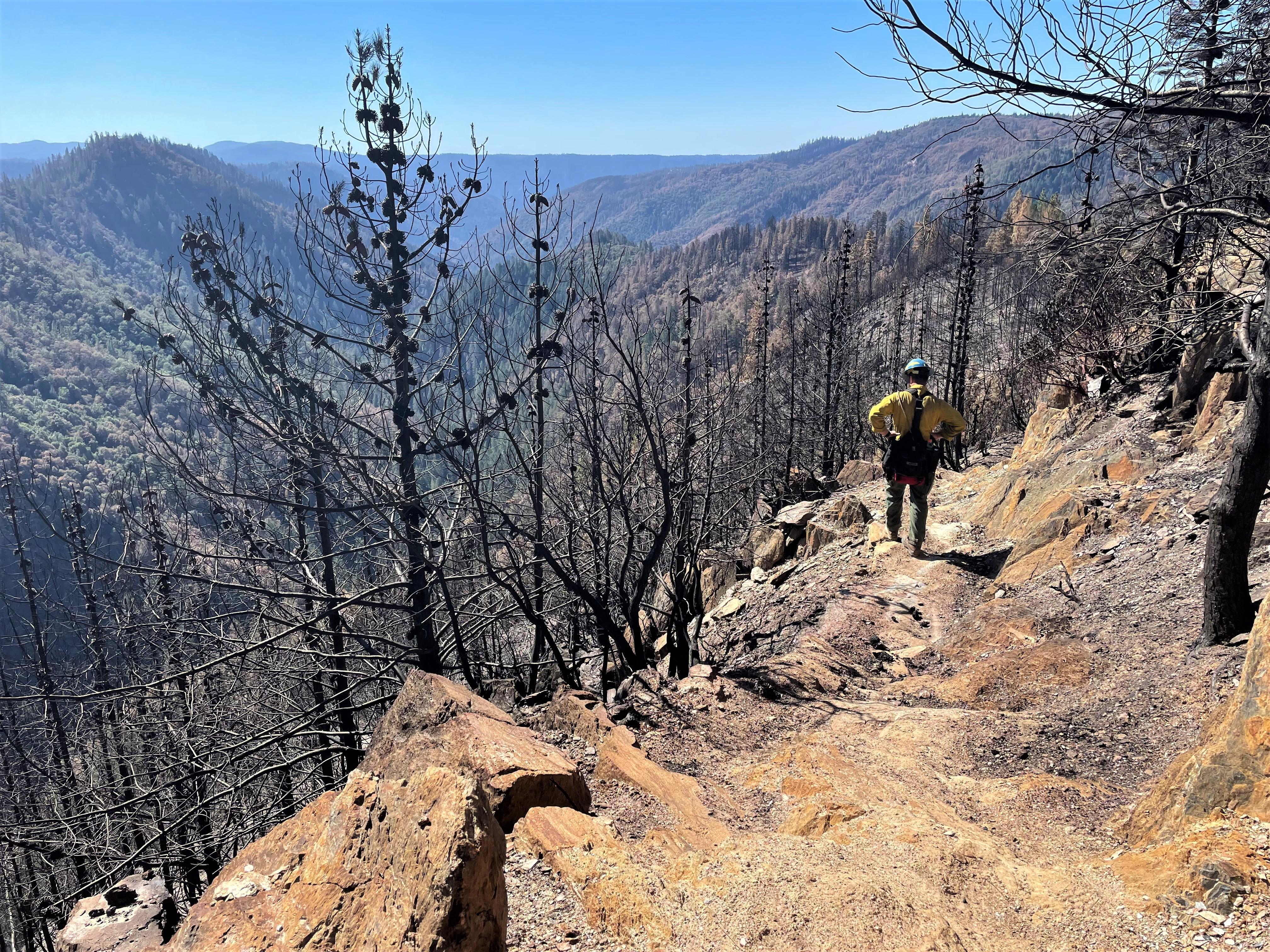
![Burned Loop 6 motorcycle trail on Codfish Ridge Image showing Burned Loop 6 motorcycle trail on Codfish Ridge](https://inciweb-prod-media-bucket.s3.us-gov-west-1.amazonaws.com/s3fs-public/styles/max_2600x2600/public/2022-10/2022_10_04-18.12.59.494-CDT.jpeg?VersionId=p3orrVBpc2SXLka8EsjopWgy8MSSRIyU&itok=5UR0vb8v)
Burned Loop 6 motorcycle trail on Codfish Ridge
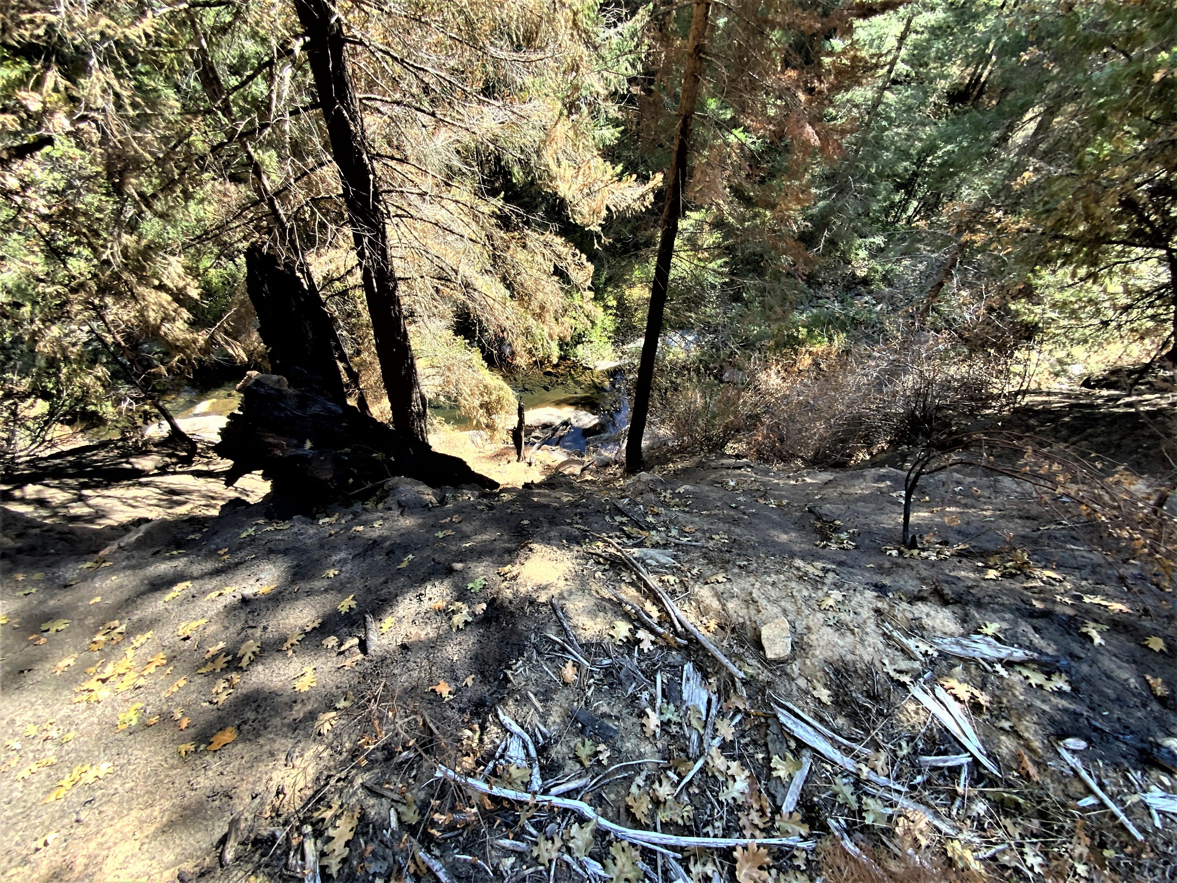
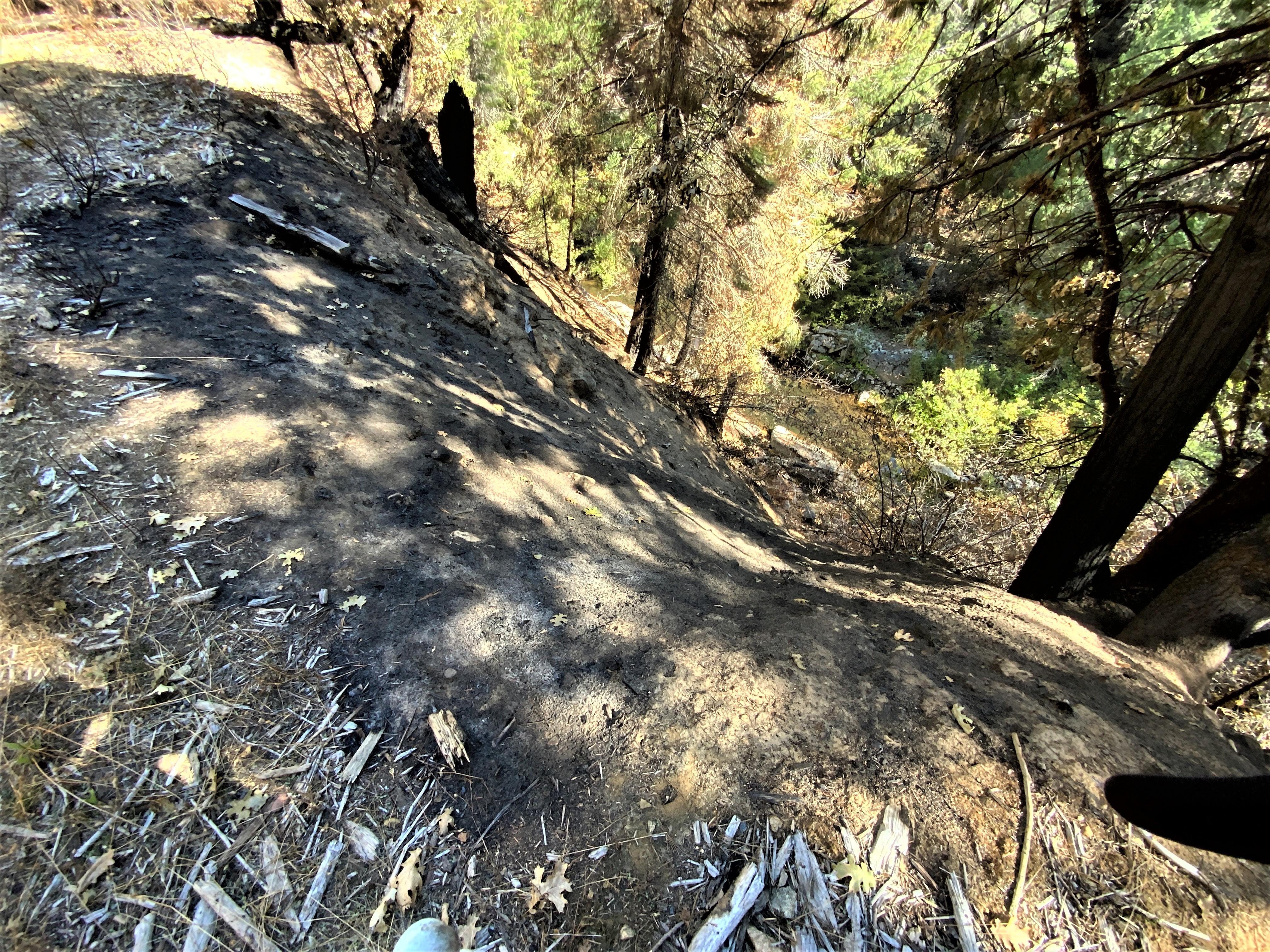
![Beginning of an edge failure on FS road 13N48 Image showing The Beginning of an edge failure on FS road 13N48 above Pilot Creek in Mosquito burned area](https://inciweb-prod-media-bucket.s3.us-gov-west-1.amazonaws.com/s3fs-public/styles/max_2600x2600/public/2022-10/2022_10_04-18.43.43.921-CDT.jpeg?VersionId=ZN20dMEI3PVueUS36d9V5fkPqeaNz_s6&itok=guCvjQ9h)
The Beginning of an edge failure on FS road 13N48 above Pilot Creek in Mosquito burned area
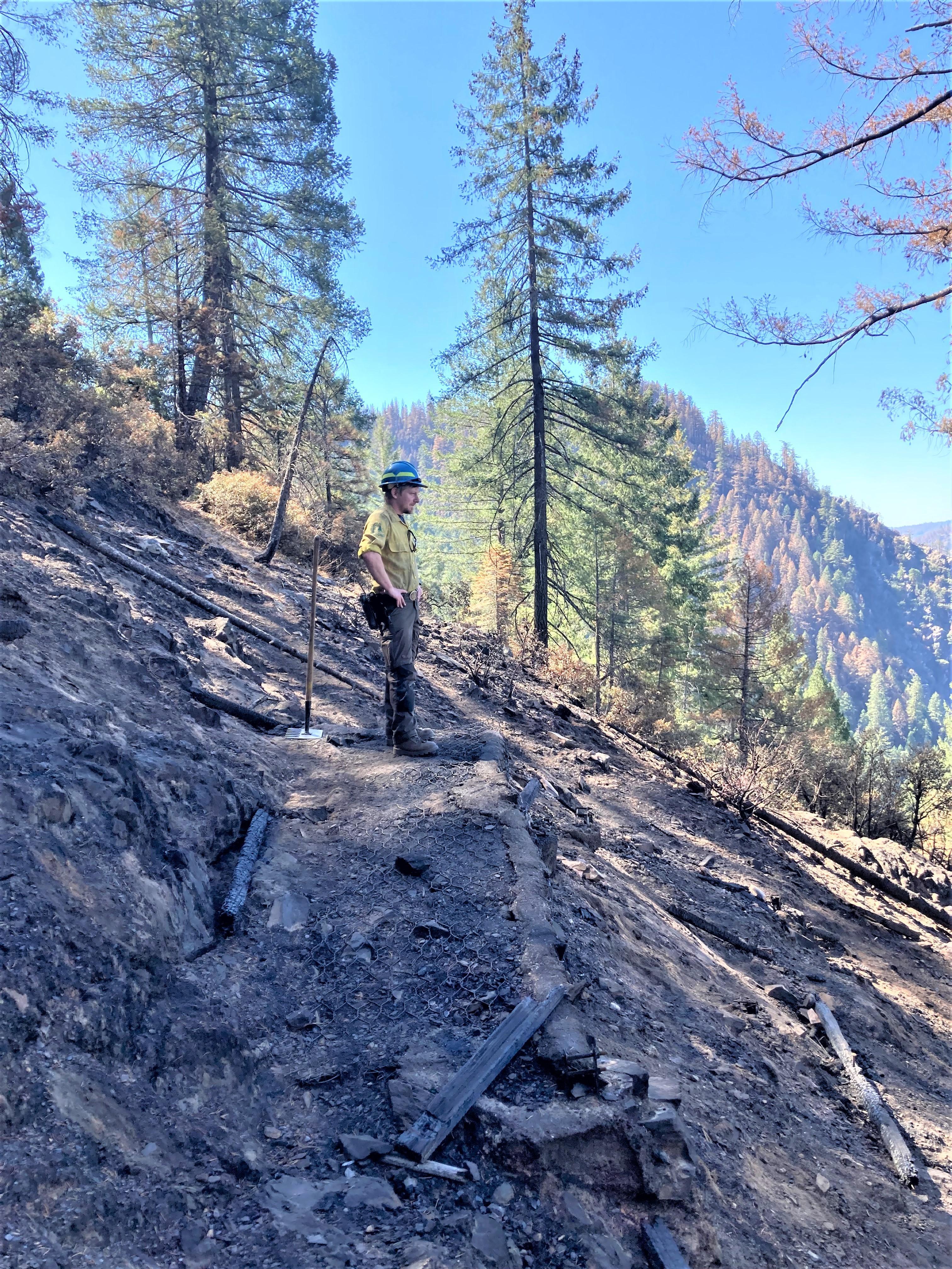
![Grouse Falls Overlook burned in Mosquito Fire Image showing the Grouse Falls Overlook that burned in Mosquito Fire](https://inciweb-prod-media-bucket.s3.us-gov-west-1.amazonaws.com/s3fs-public/styles/max_2600x2600/public/2022-10/2022_10_04-18.16.33.412-CDT.jpeg?VersionId=CahxziiKOAdcFpHYXS9X1GbO9PiEqtdo&itok=r9twlxAn)
Grouse Falls Overlook burned in Mosquito Fire
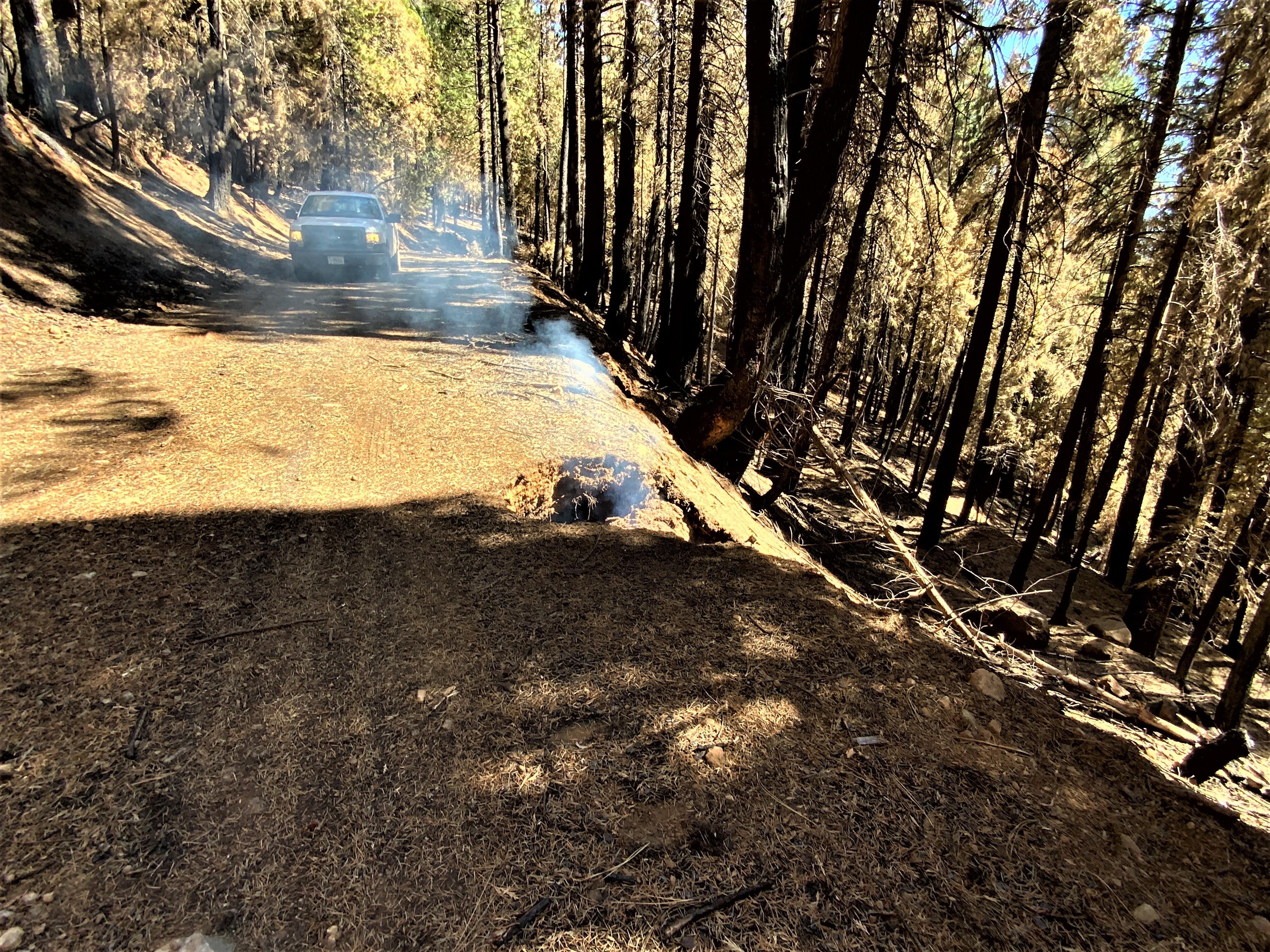
![Smoldering tree stump hole along road Image showing Smoldering tree stump hole along FS Road 13N48 near the Blodgett Experimental Forest in Mosquito burned area](https://inciweb-prod-media-bucket.s3.us-gov-west-1.amazonaws.com/s3fs-public/styles/max_2600x2600/public/2022-10/2022_10_04-18.45.54.327-CDT.jpeg?VersionId=5dya10.kgfnSInZx63RIw9WGjKAUXuE0&itok=QYPRvE_Q)
Smoldering tree stump hole along FS Road 13N48 near the Blodgett Experimental Forest in Mosquito burned area
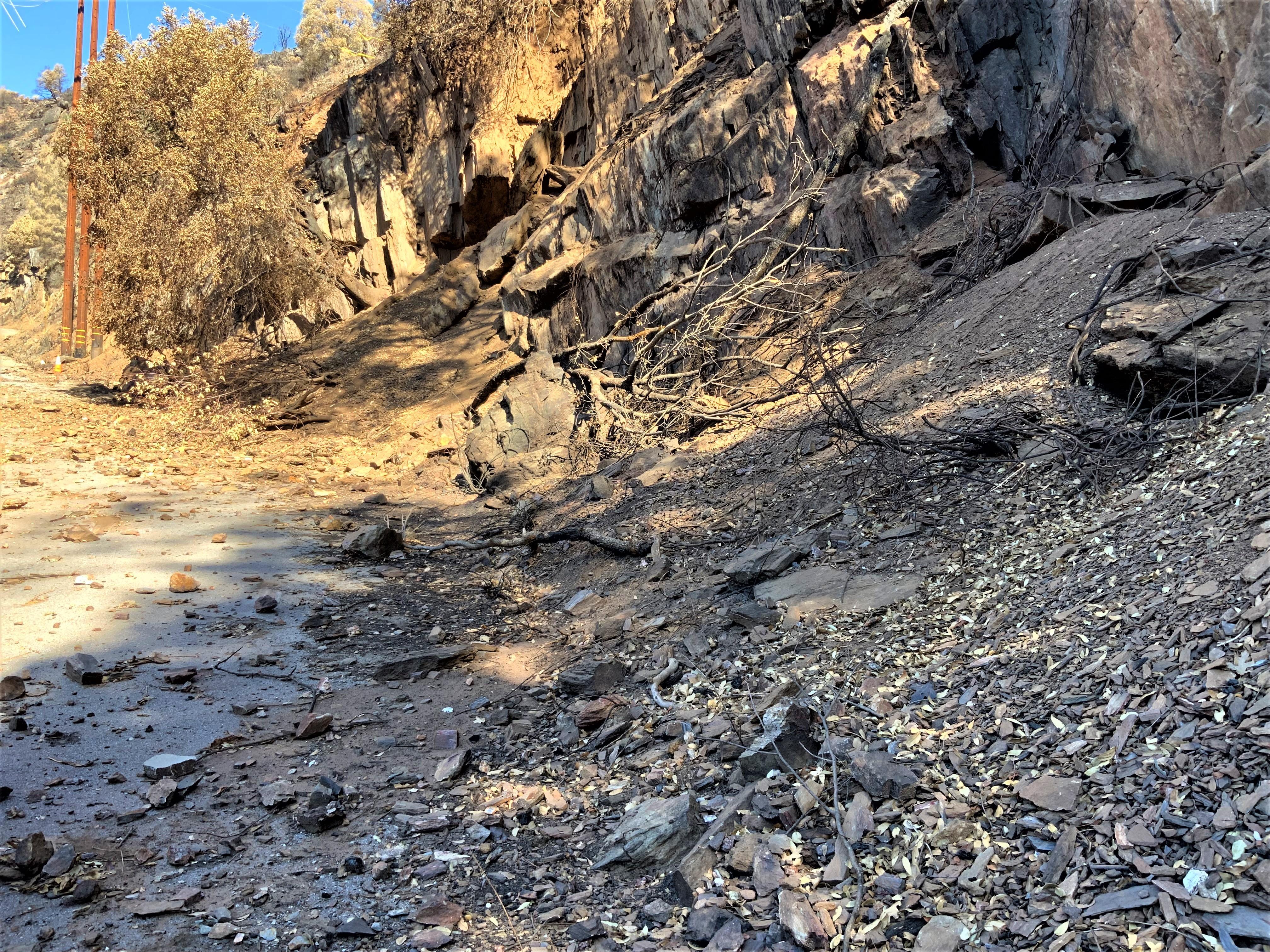
![Rocks and other debris hazards along road Image showing Rocks and other debris hazards along road in Mosquito burned area](https://inciweb-prod-media-bucket.s3.us-gov-west-1.amazonaws.com/s3fs-public/styles/max_2600x2600/public/2022-10/2022_10_04-18.41.02.962-CDT.jpeg?VersionId=JyQDeefUPjs6DD4xlHUu9UnOOWy.dD1F&itok=pNkHIrke)
Rocks and other debris hazards along road in Mosquito burned area
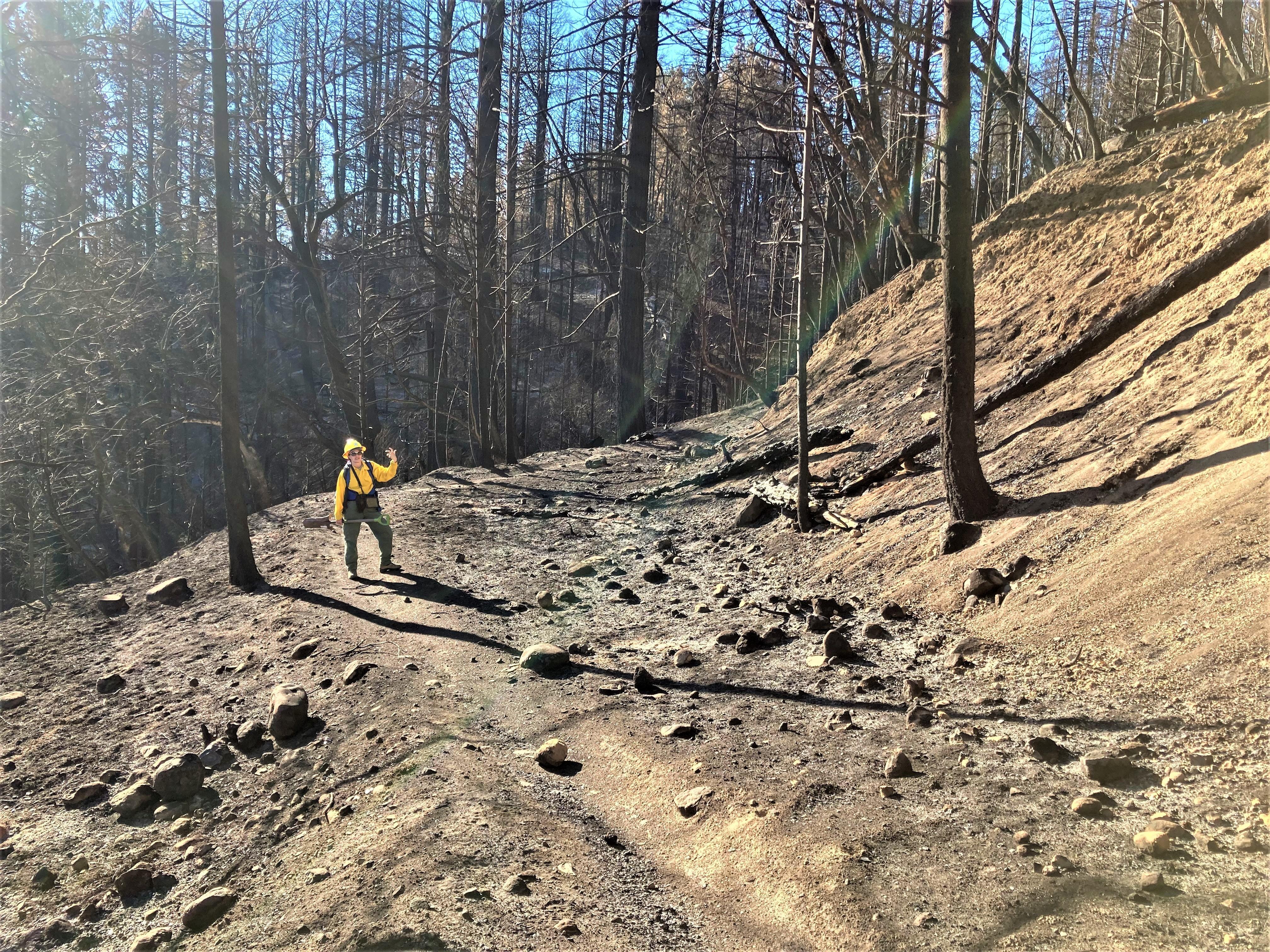
![Burned Loop 6 motorcycle trail Image showing Loop 6 motorcycle trail](https://inciweb-prod-media-bucket.s3.us-gov-west-1.amazonaws.com/s3fs-public/styles/max_2600x2600/public/2022-10/2022_10_04-18.14.39.042-CDT.jpeg?VersionId=9WfIDuGkfvfUwsOEnQl0rV3teqg0hfOz&itok=BG7xYRll)
Loop 6 motorcycle trail
![Beginning of an edge failure on FS road 13N48 Image showing The Beginning of an edge failure on FS road 13N48 above Pilot Creek in Mosquito burned area](https://inciweb-prod-media-bucket.s3.us-gov-west-1.amazonaws.com/s3fs-public/styles/max_2600x2600/public/2022-10/2022_10_04-18.43.44.066-CDT.jpeg?VersionId=NKOA8meXVEbnZOZMI88kHJRONd7zCtYG&itok=UNWfQr8C)
The Beginning of an edge failure on FS road 13N48 above Pilot Creek in Mosquito burned area