Incident Media Photographs
Settings - change map background and toggle additional layers
Filter - control incident types displayed on map.
Zoom to your location
Reset map zoom and position
Could not determine your location.
Show Legend
 Wildfire
 Prescribed Fire
 Burned Area
Response
Burned Area
Response Other
Other
2023 - Bone Lightning Fire
Unit Information
Incident Contacts
- Benjamin CosselEmail:Phone:209.288.6261
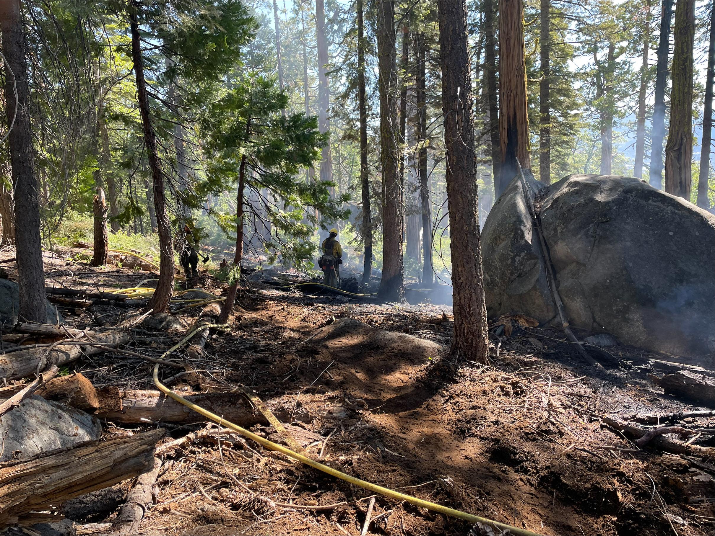
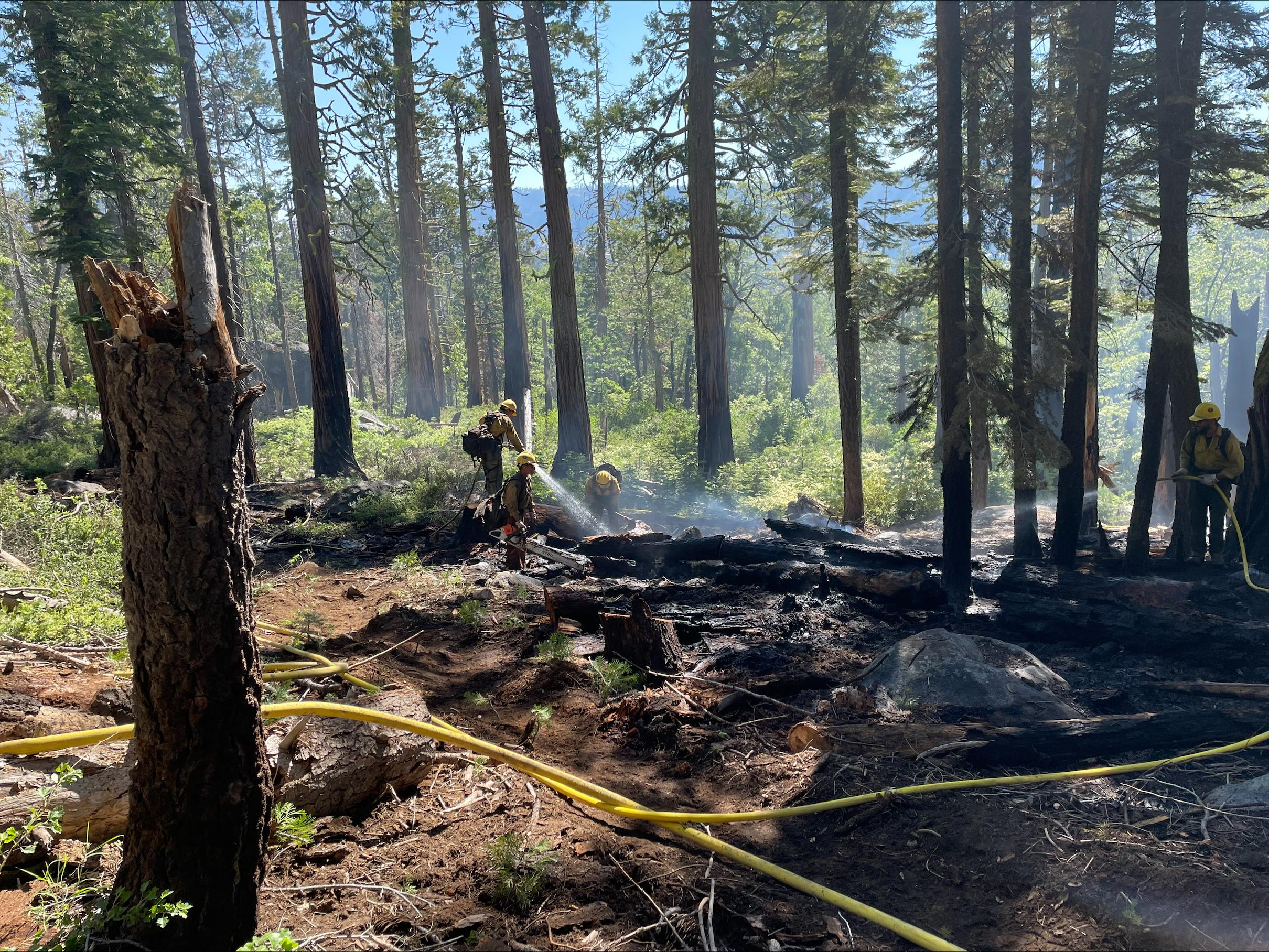
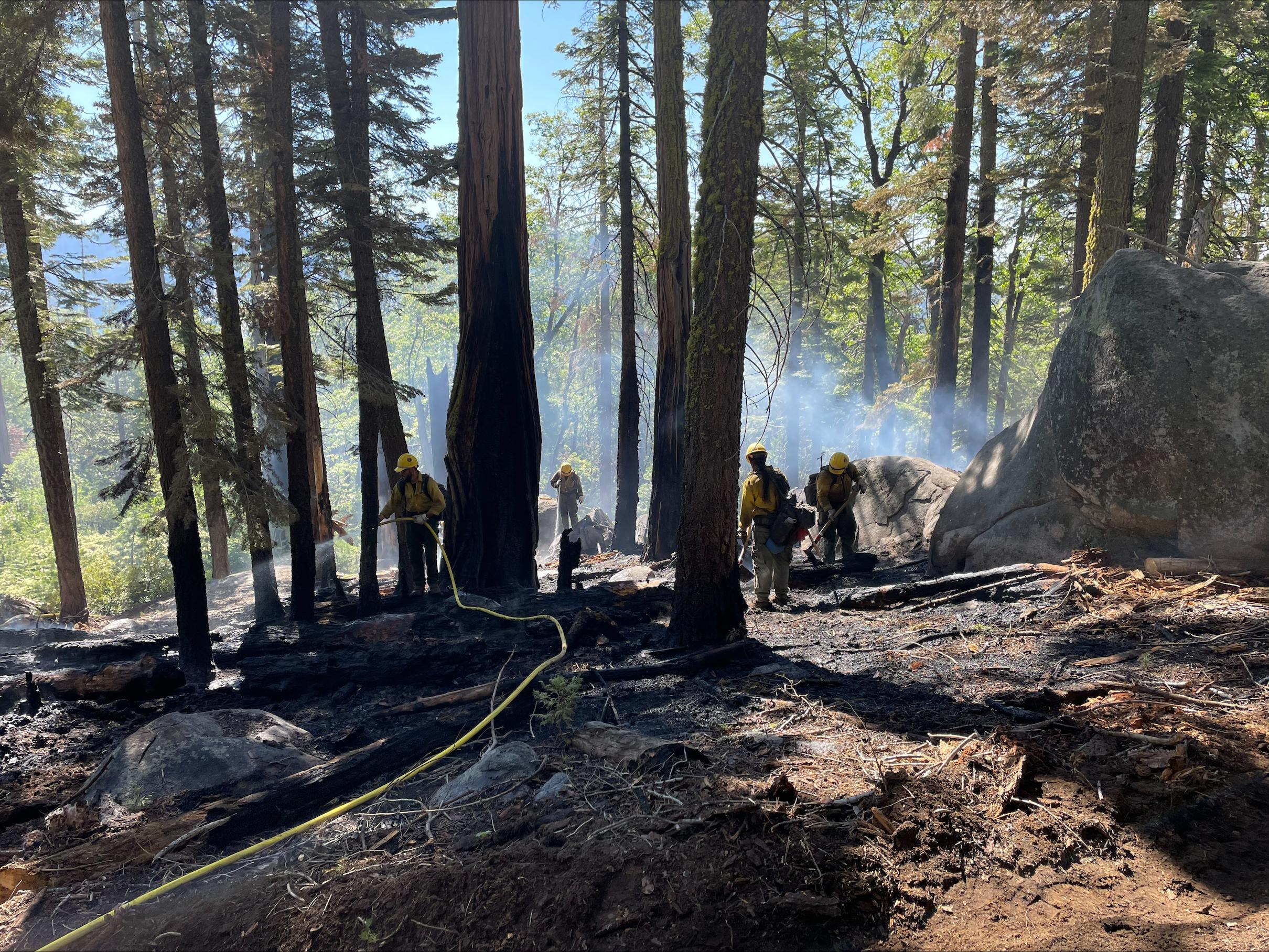
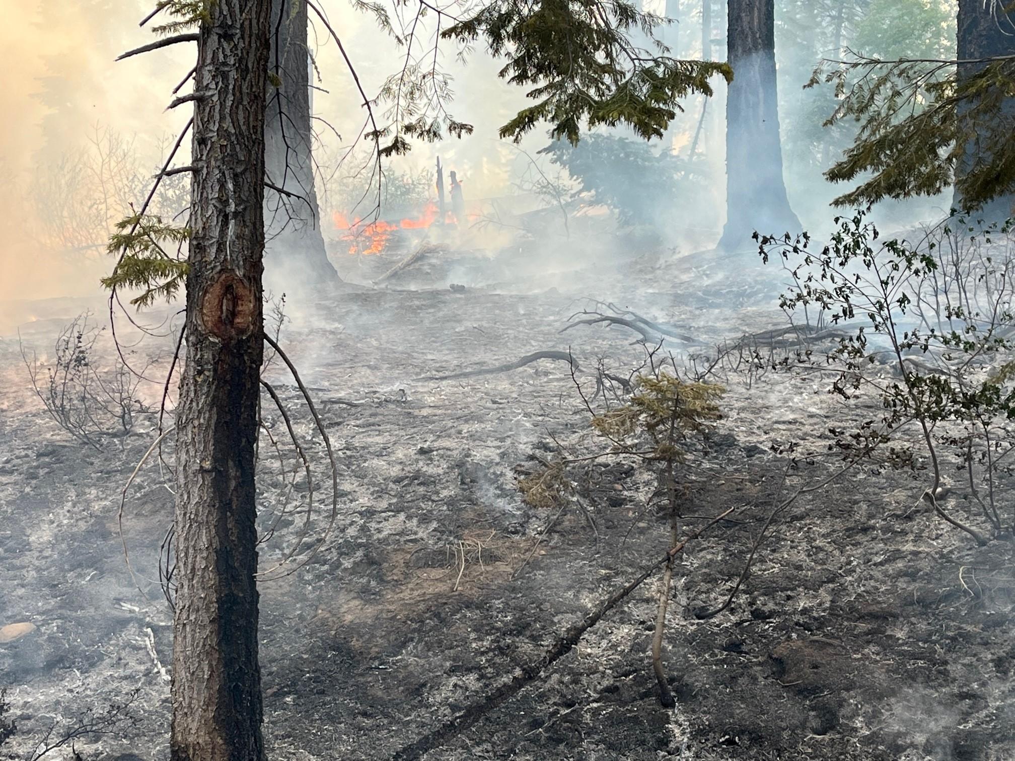
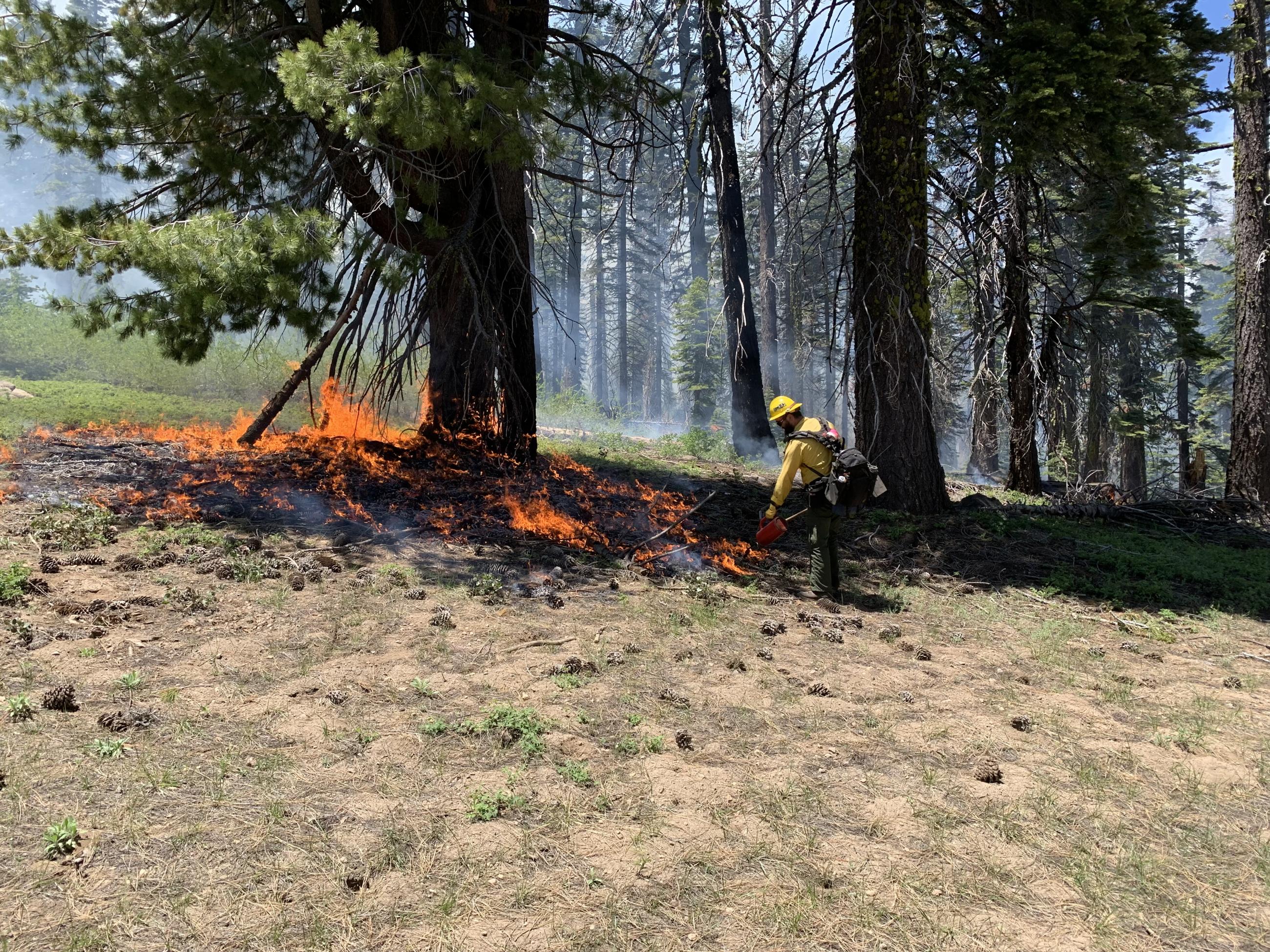
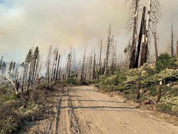
Photographs Gallery
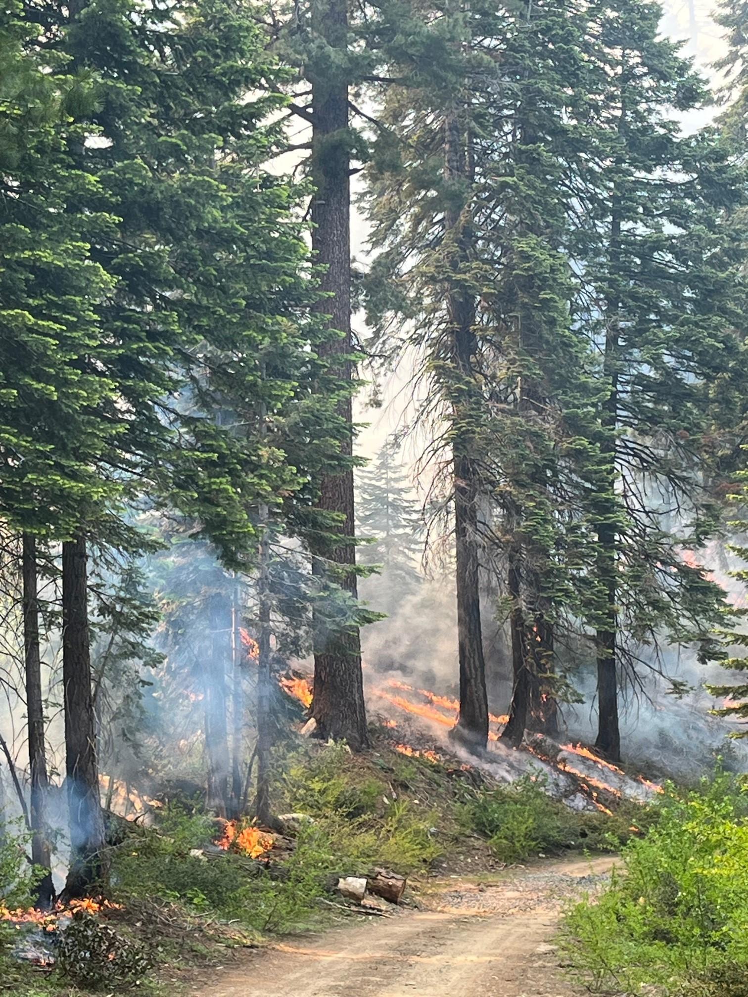
Burning in the snag patch with white thorn on 2N05A.
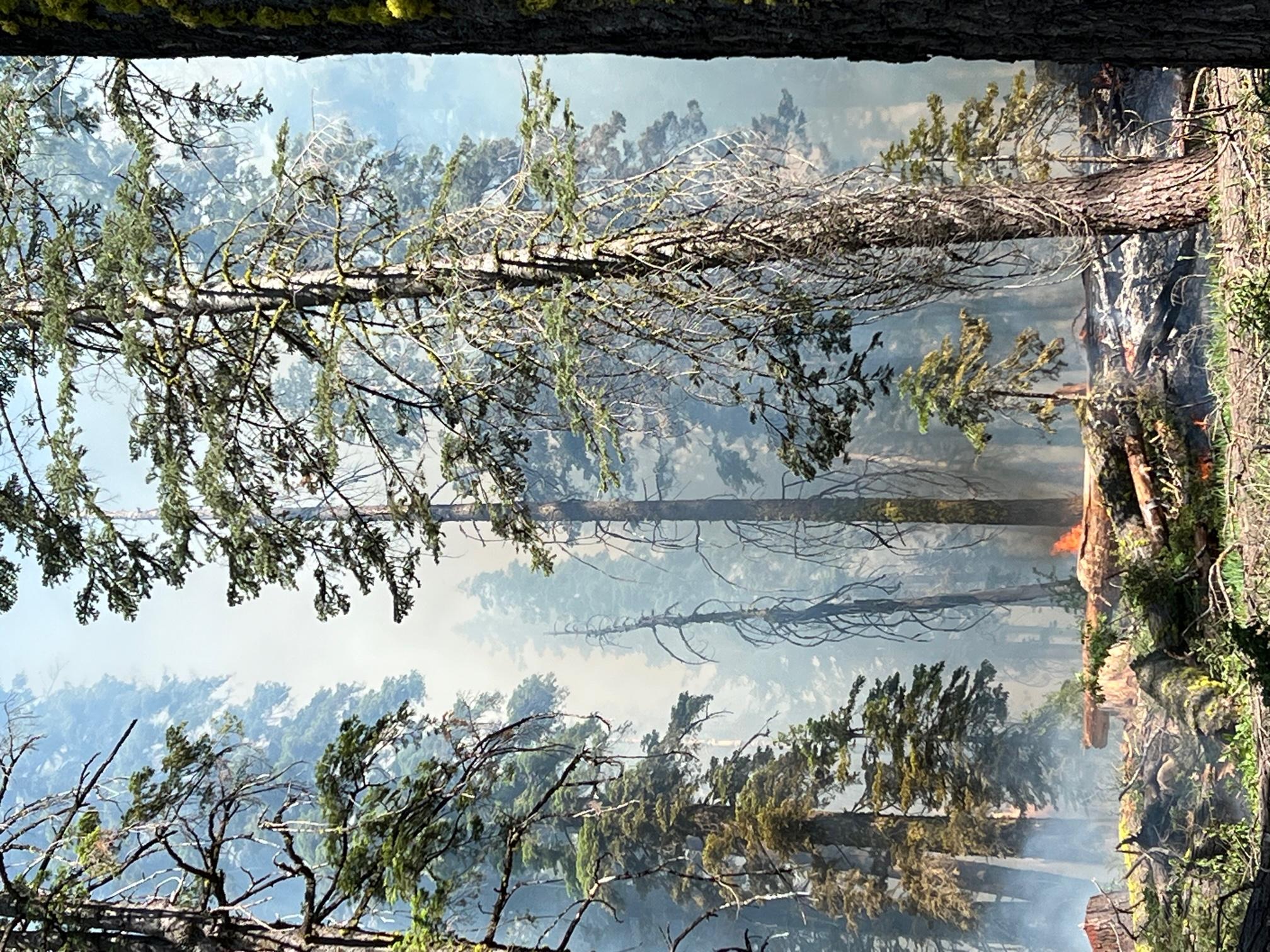
Northeast side of 2N05 in the Bone Lightning Fire is dense with large woody debris.