Incident Media Photographs
Could not determine your location.
SR Lightning Complex BAER
Unit Information
Incident Contacts
- BAER InformationPhone:707-853-4243Hours:8am-8pm
Photographs Gallery
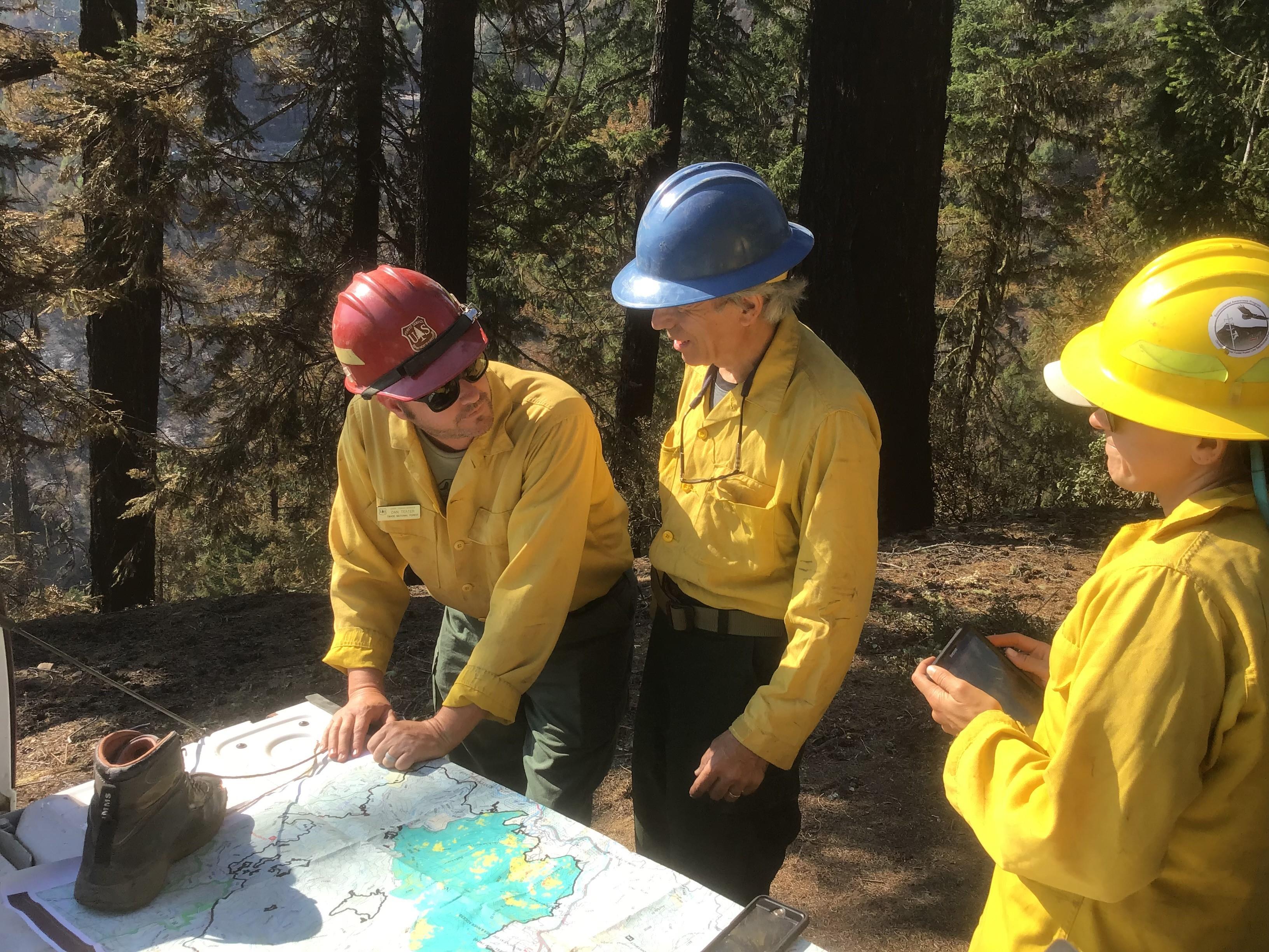
BAER specialists preparing to assess Campbell burned area
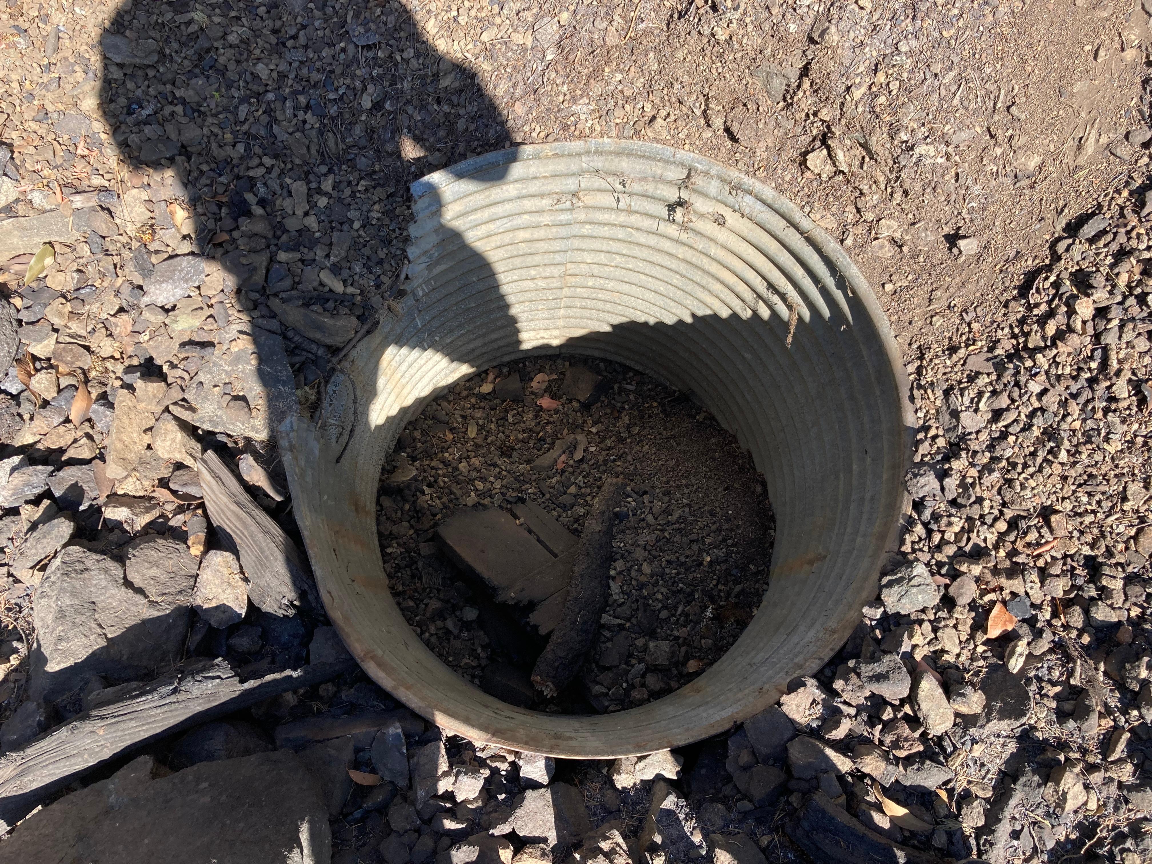
Plugged Road Drop-Inlet in Ammon Fire Area
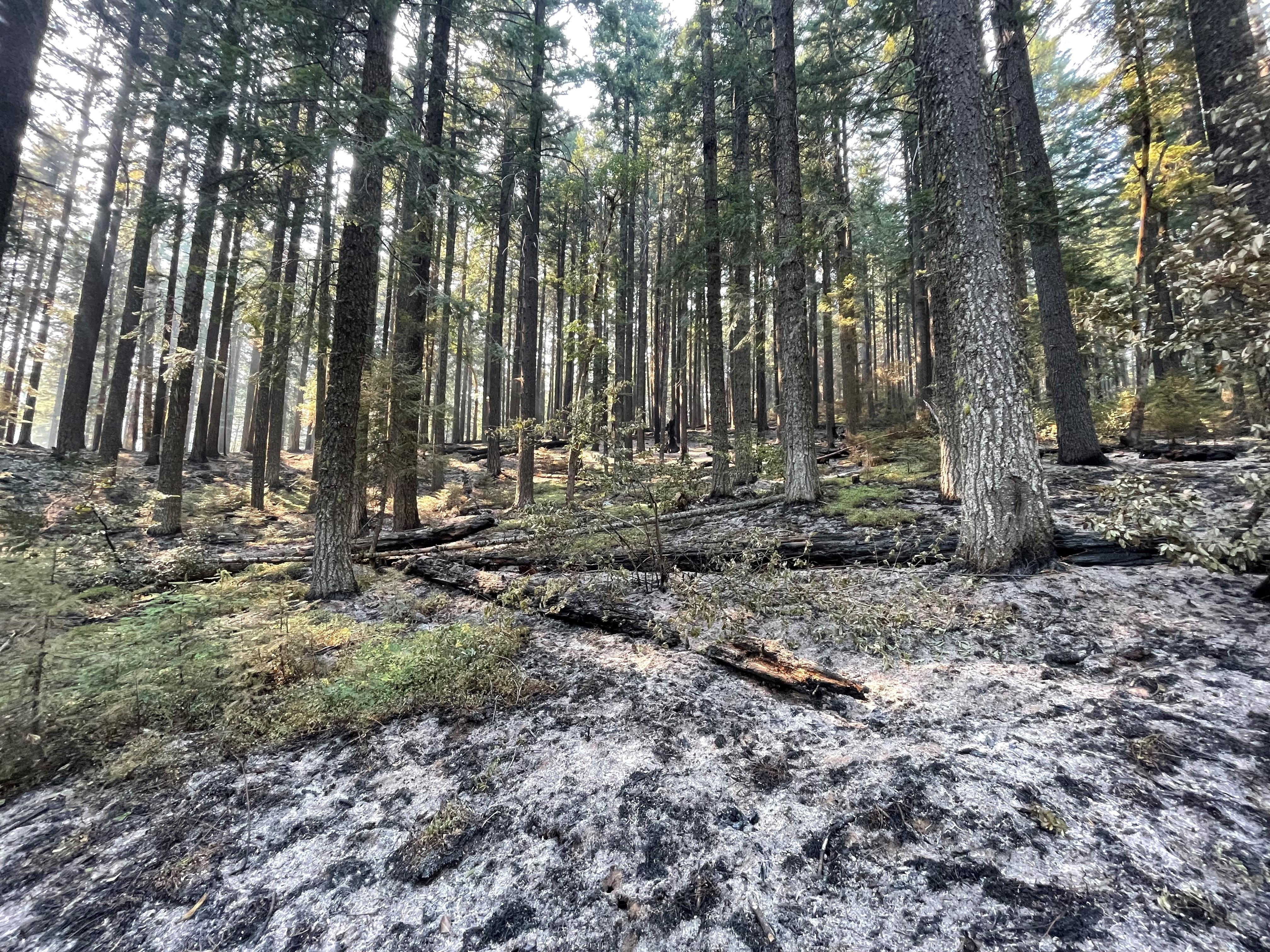
Low Soil Burn Severity in Campbell Fire
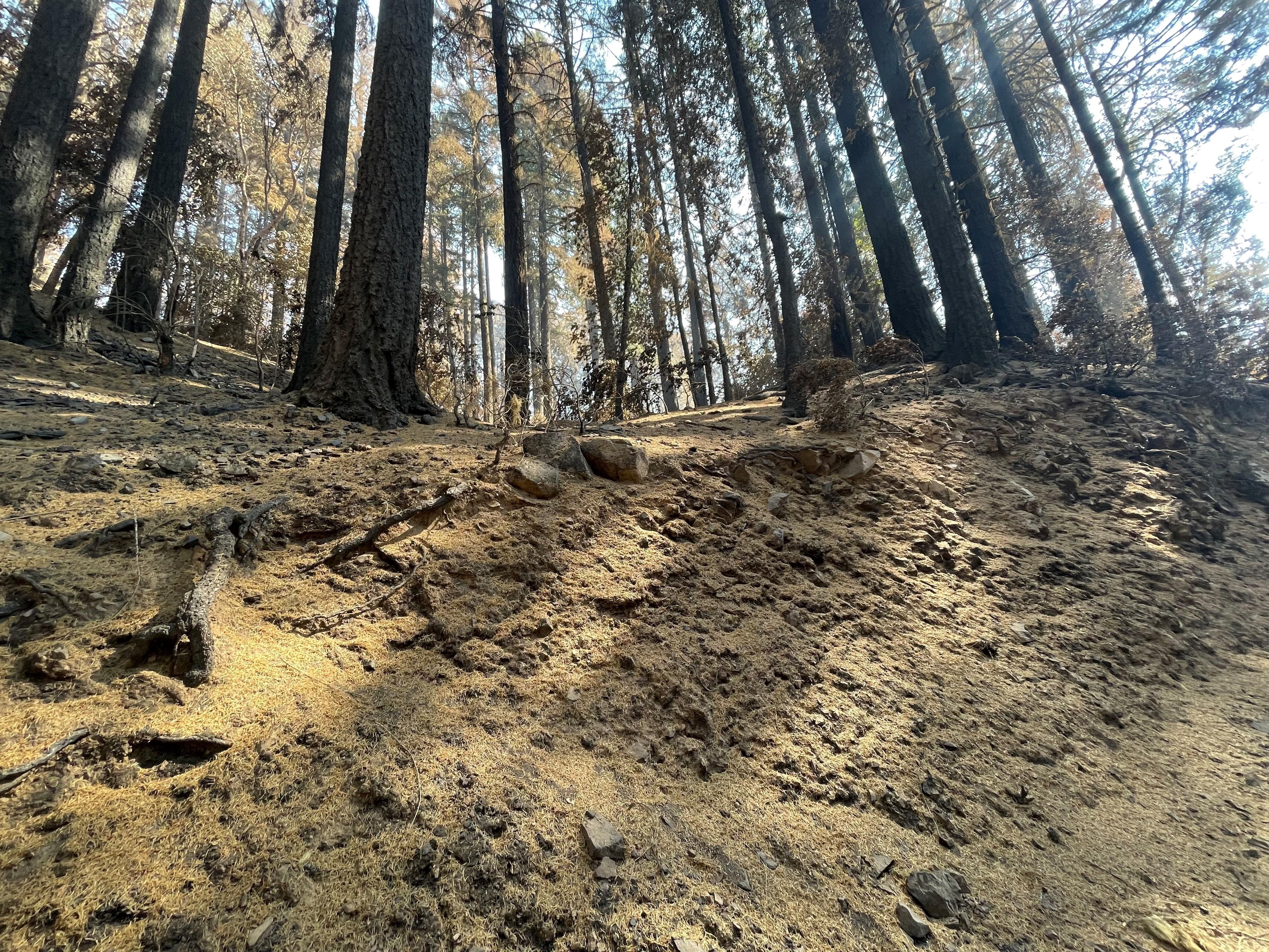
Needle cast slope in Campbell burned area
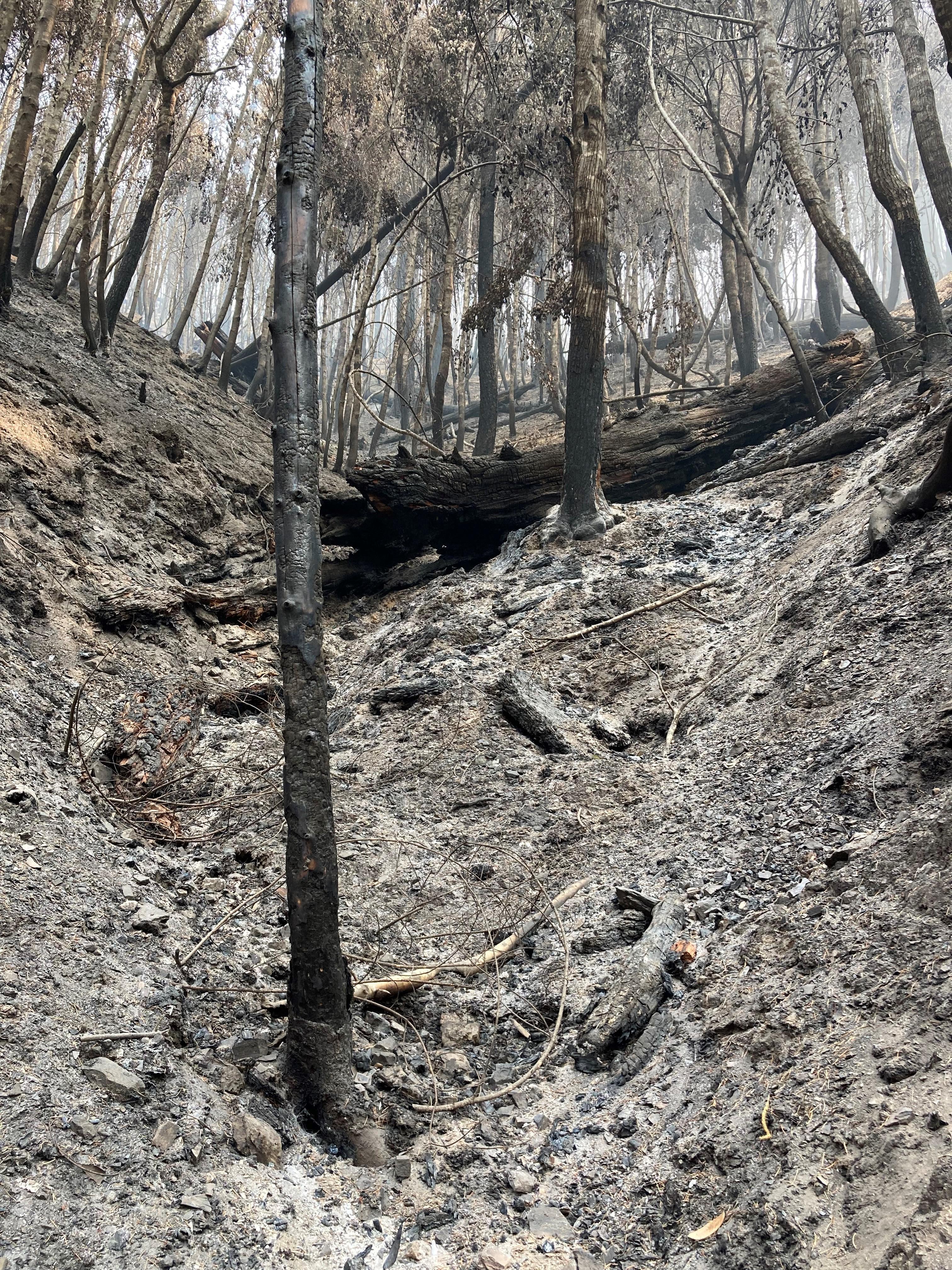
Image showing Steep Slope Swale (directs water runoff during storm events) in Ammon Fire Area
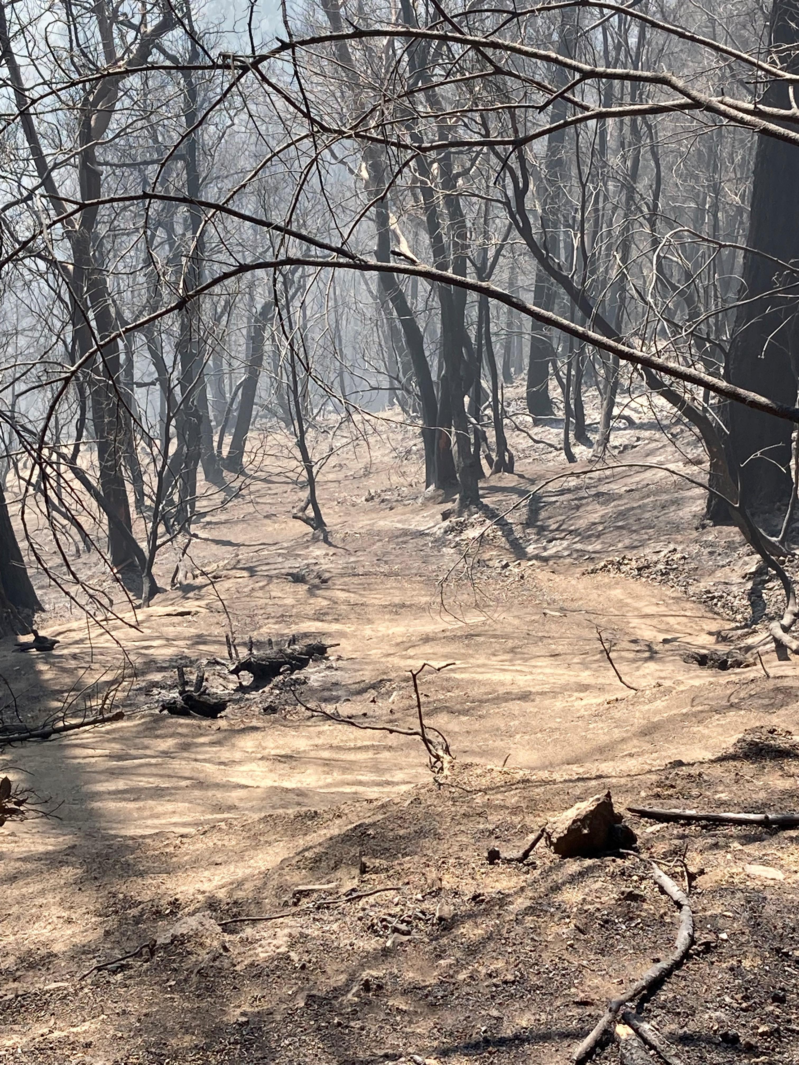
Slope Ravelling (gradual process of soil particles or rock fragments destabilize the slope) in the Ammon Fire Area
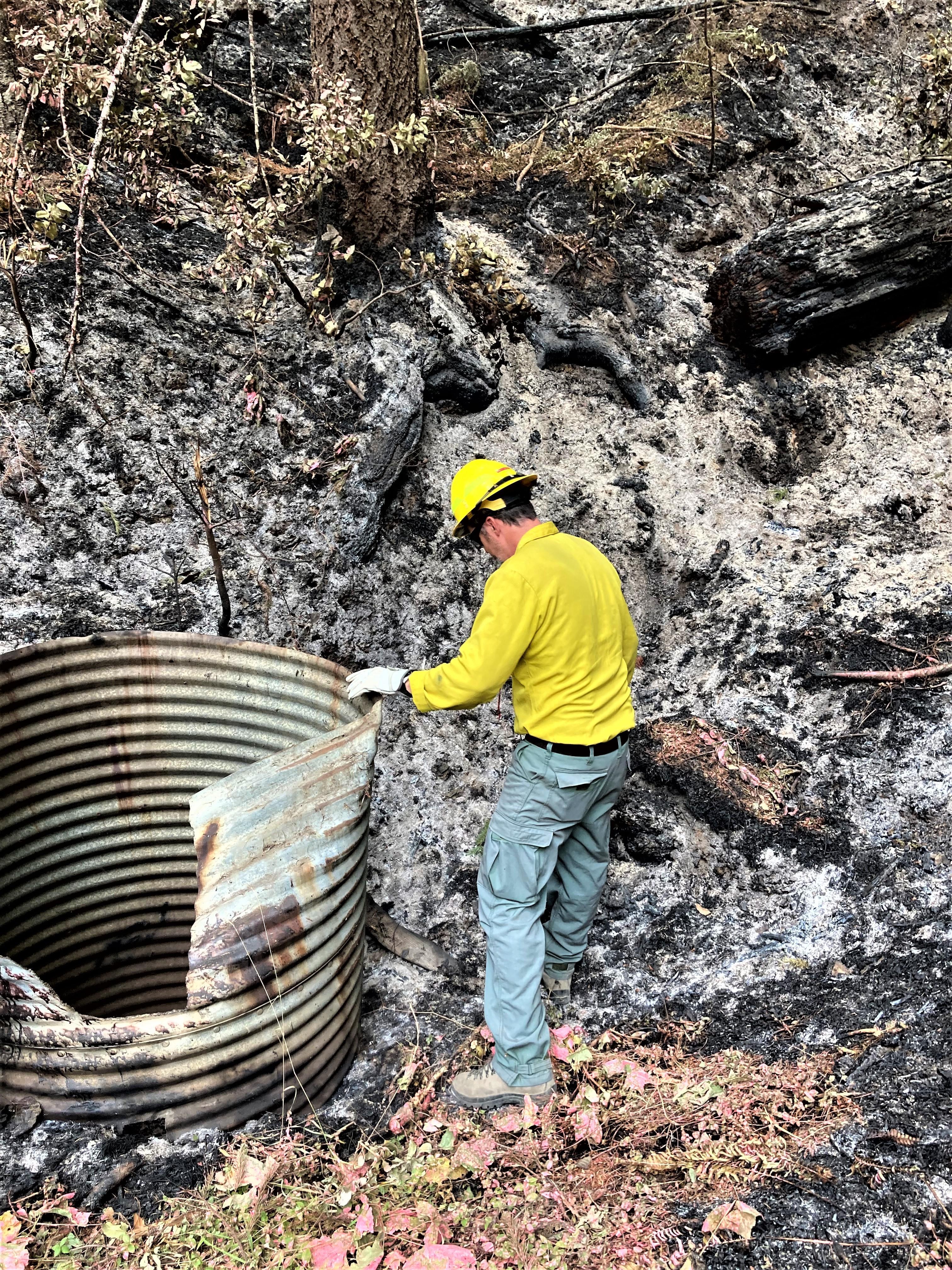
BAER Hydrologist Assessing Road Drainage Structure in Campbell Fire
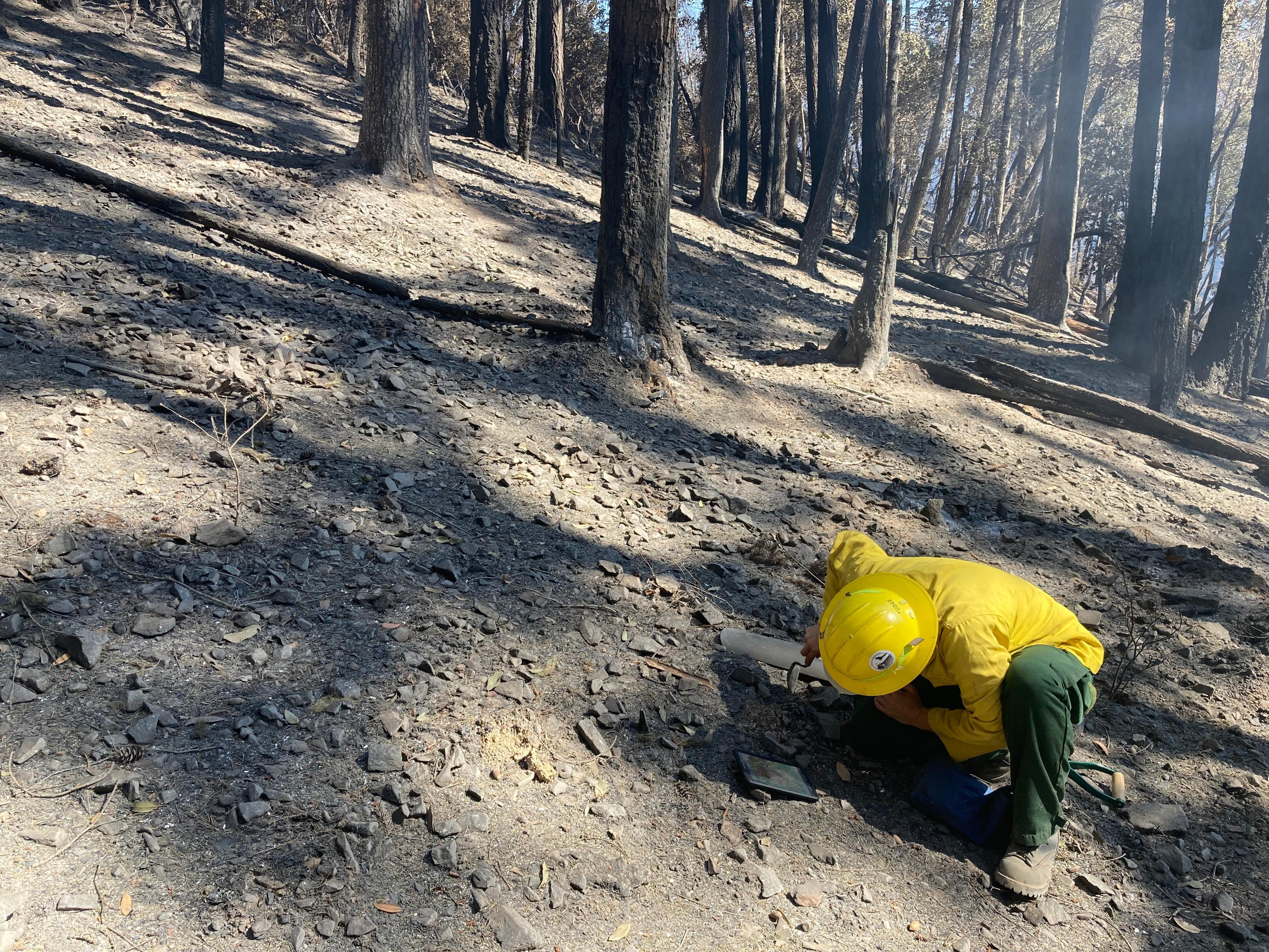
BAER Hydrologist Emily Fudge assesses soil hydrophobicity (water repellency), changes to soil structure, and maps the evaluated soil burn severity (SBS) in Hawkins Creek burned drainage located in the Campbell burned area.
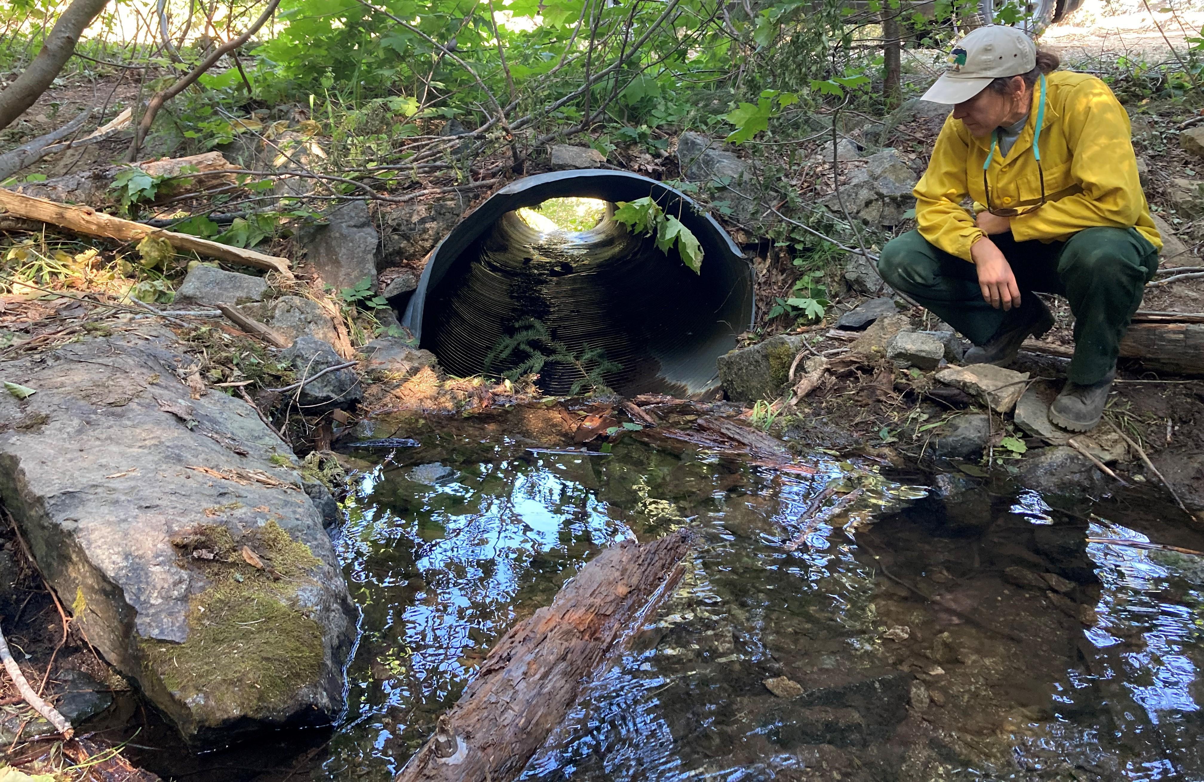
BAER Specialist Assessing Old Campbell Creek
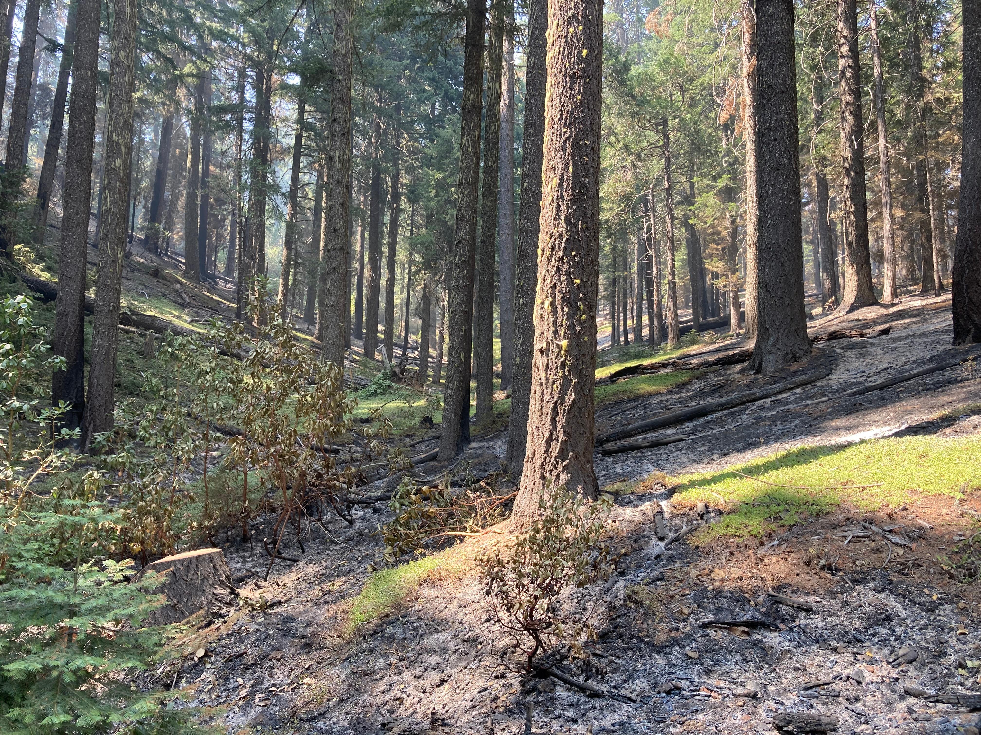
Low soil burn severity (SBS) in the Groves Prairie area off NFS Road 7N31
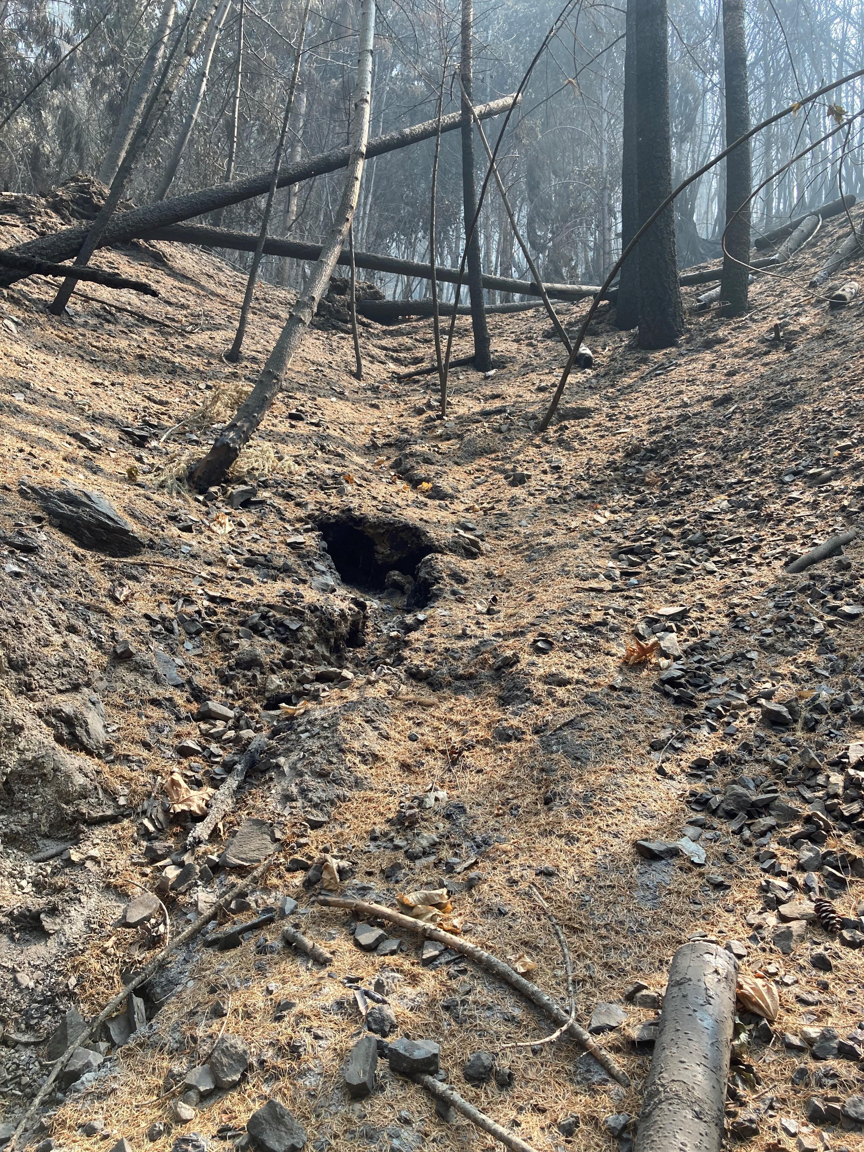
Partially buried road outlet in Ammon Fire Area
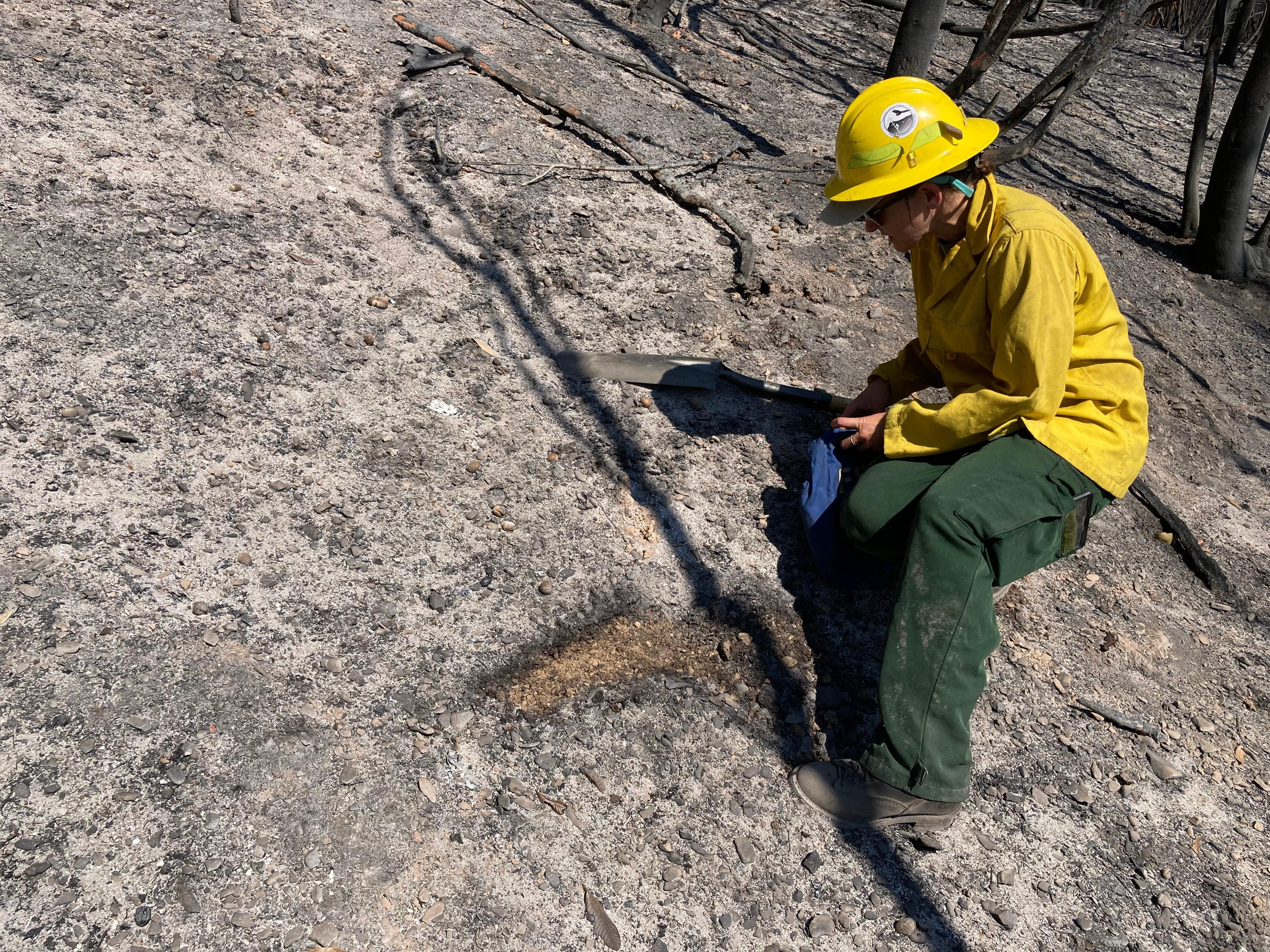
BAER Hydrologist Emily Fudge assesses soil hydrophobicity (water repellency), changes to soil structure, and maps the evaluated soil burn severity (SBS) in Hawkins Creek burned drainage located in the Campbell burned area.

 InciWeb