
Incident Media Photographs
Settings - change map background and toggle additional layers
Filter - control incident types displayed on map.
Zoom to your location
Reset map zoom and position
Could not determine your location.
Show Legend
 Wildfire
 Prescribed Fire
 Burned Area
Response
Burned Area
Response Other
Other
Smith River Complex Post-Fire BAER
Unit Information
Incident Contacts
- BAER InformationPhone:707-853-4243
Photographs Gallery
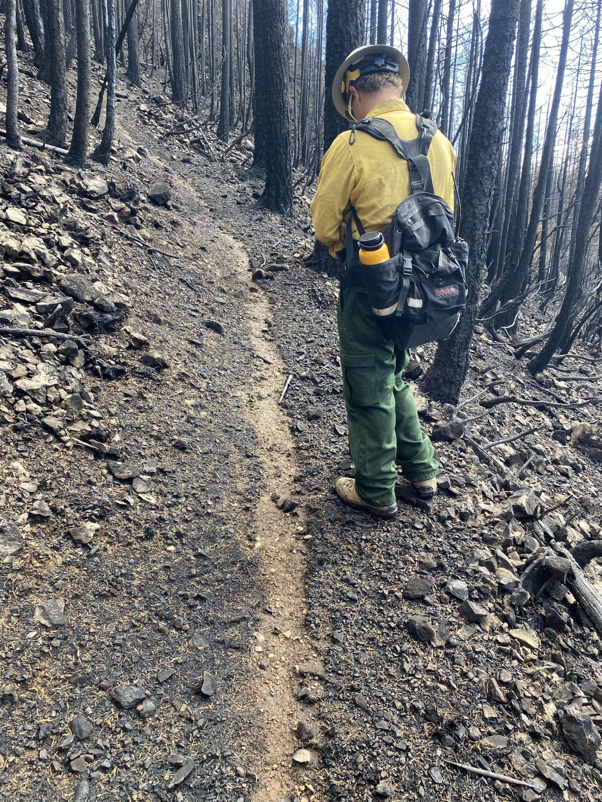
BAER Specialist Assessing High Dome Trail
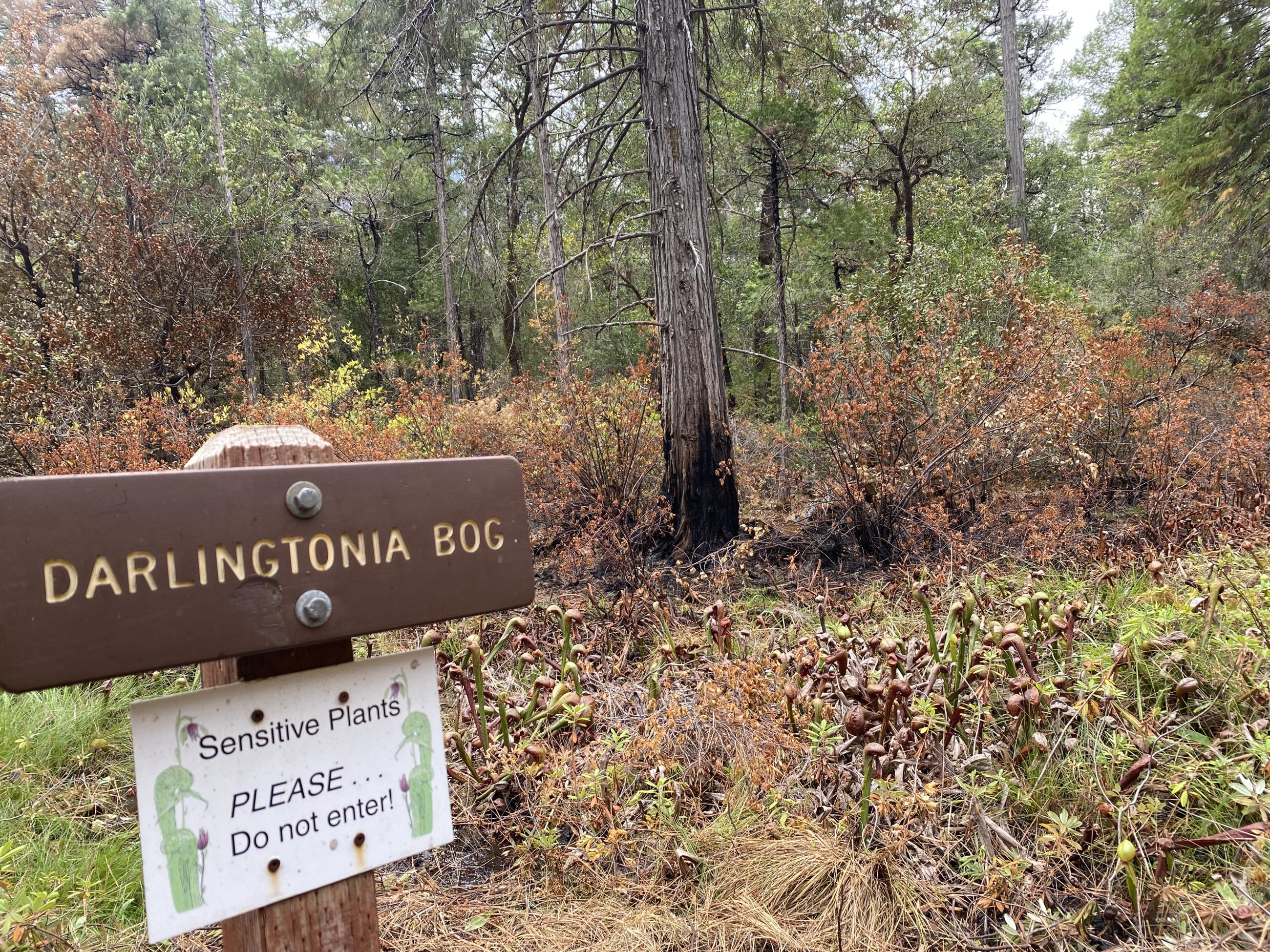
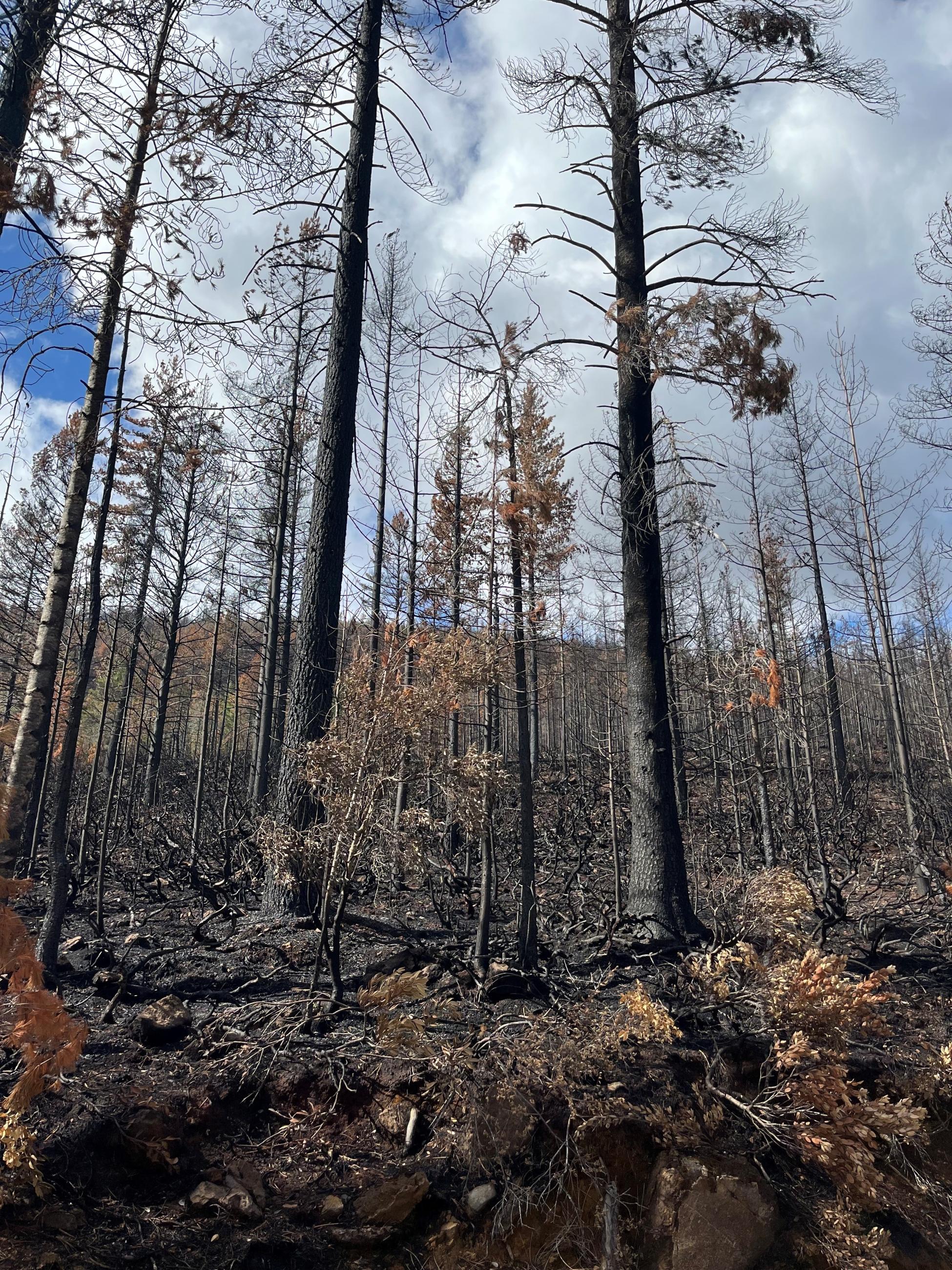
Light burn in Darlingtonia Bog
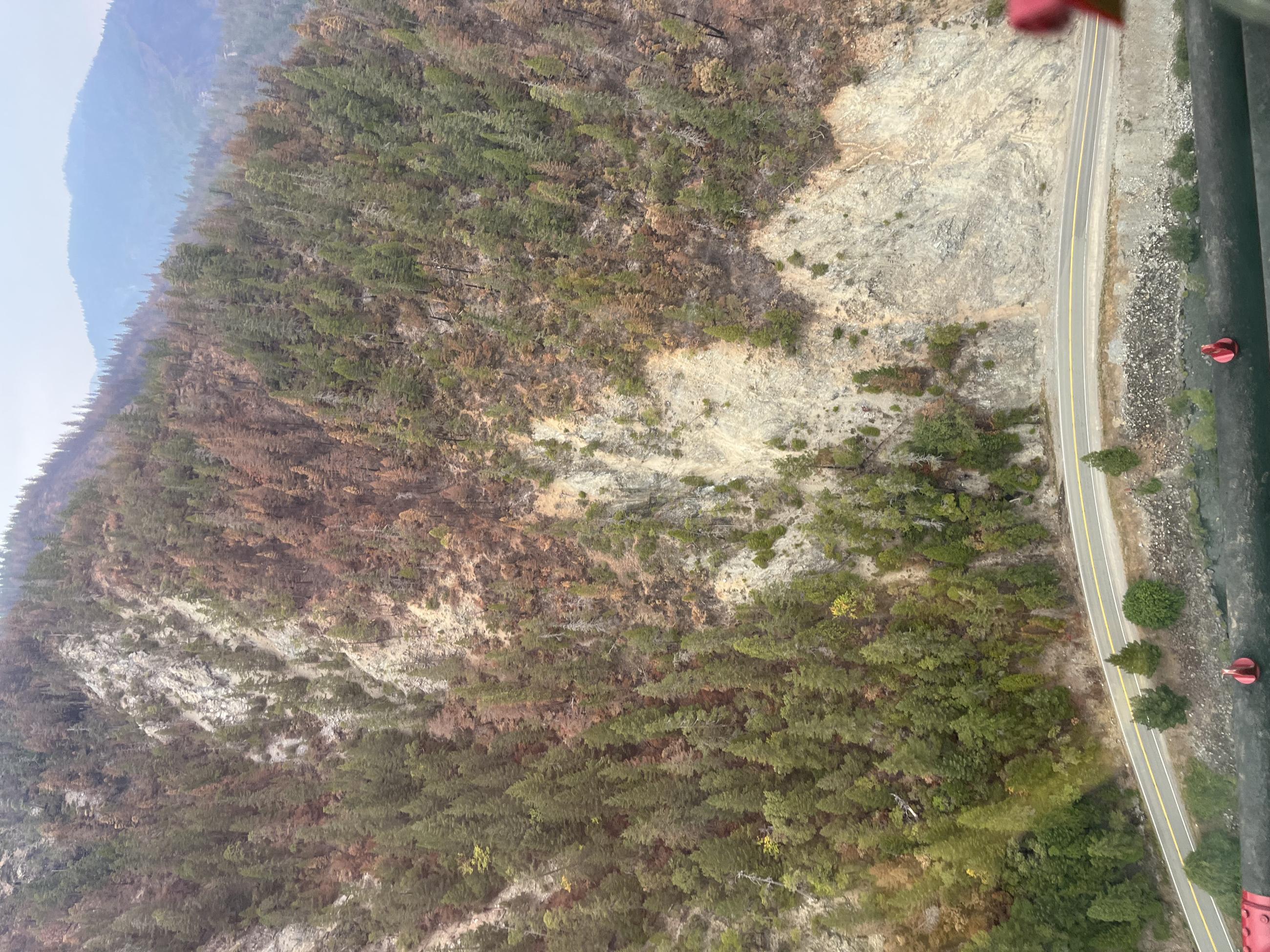
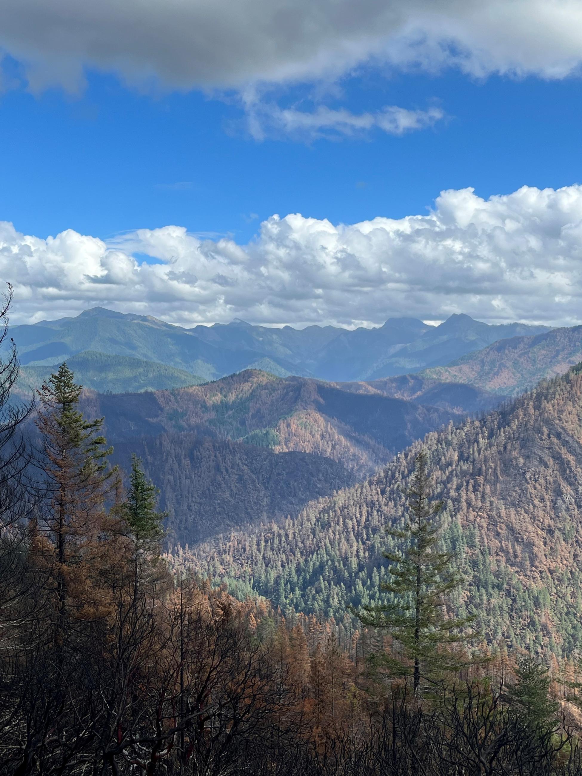
Aerial reconnaissance of the Smith River Complex Burned Areas
Aerial reconnaissance of the Smith River Complex Burned Areas
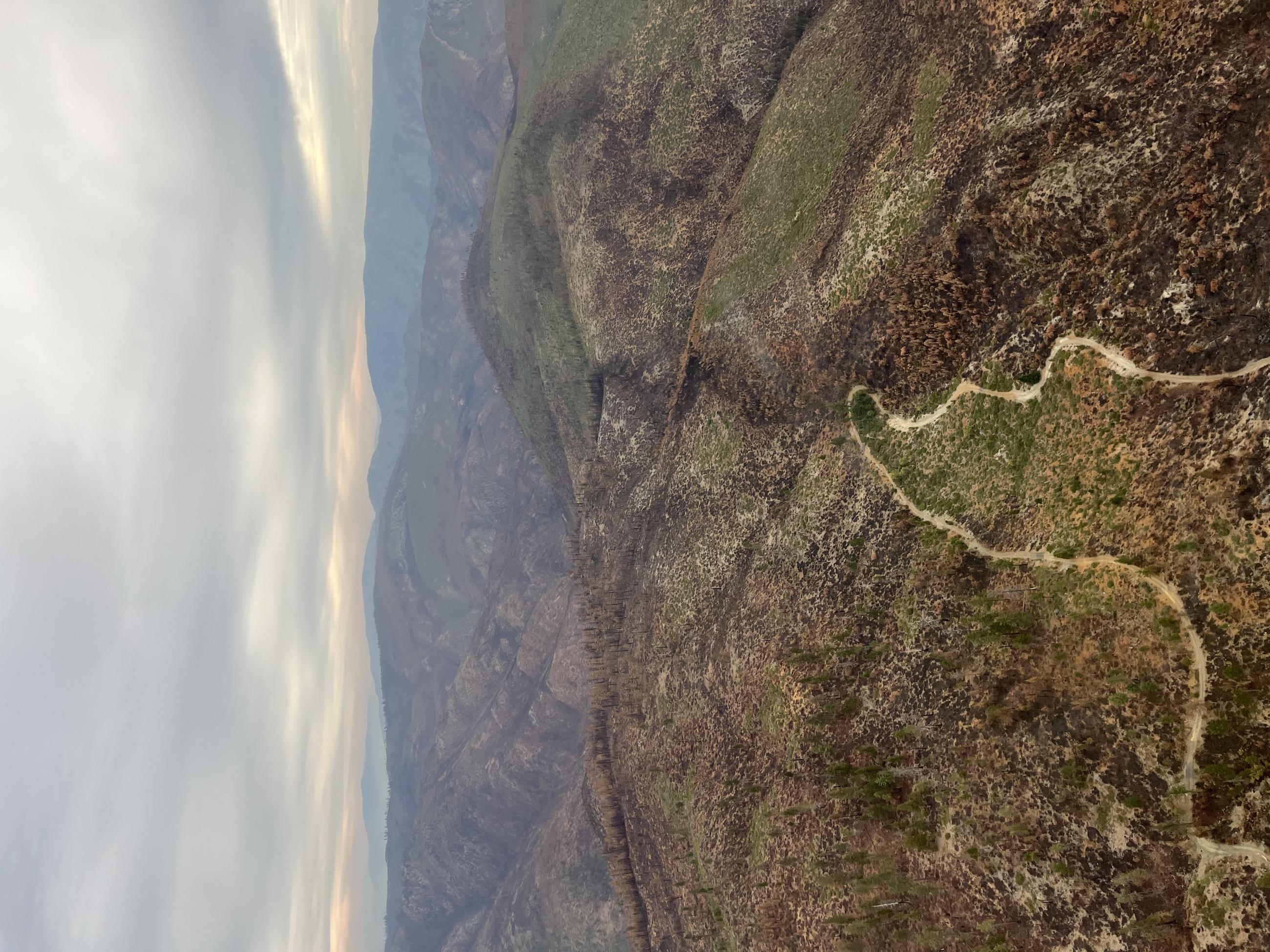
Gasquet Toll Road Looking at Shelly & Monkey Creek Ridges
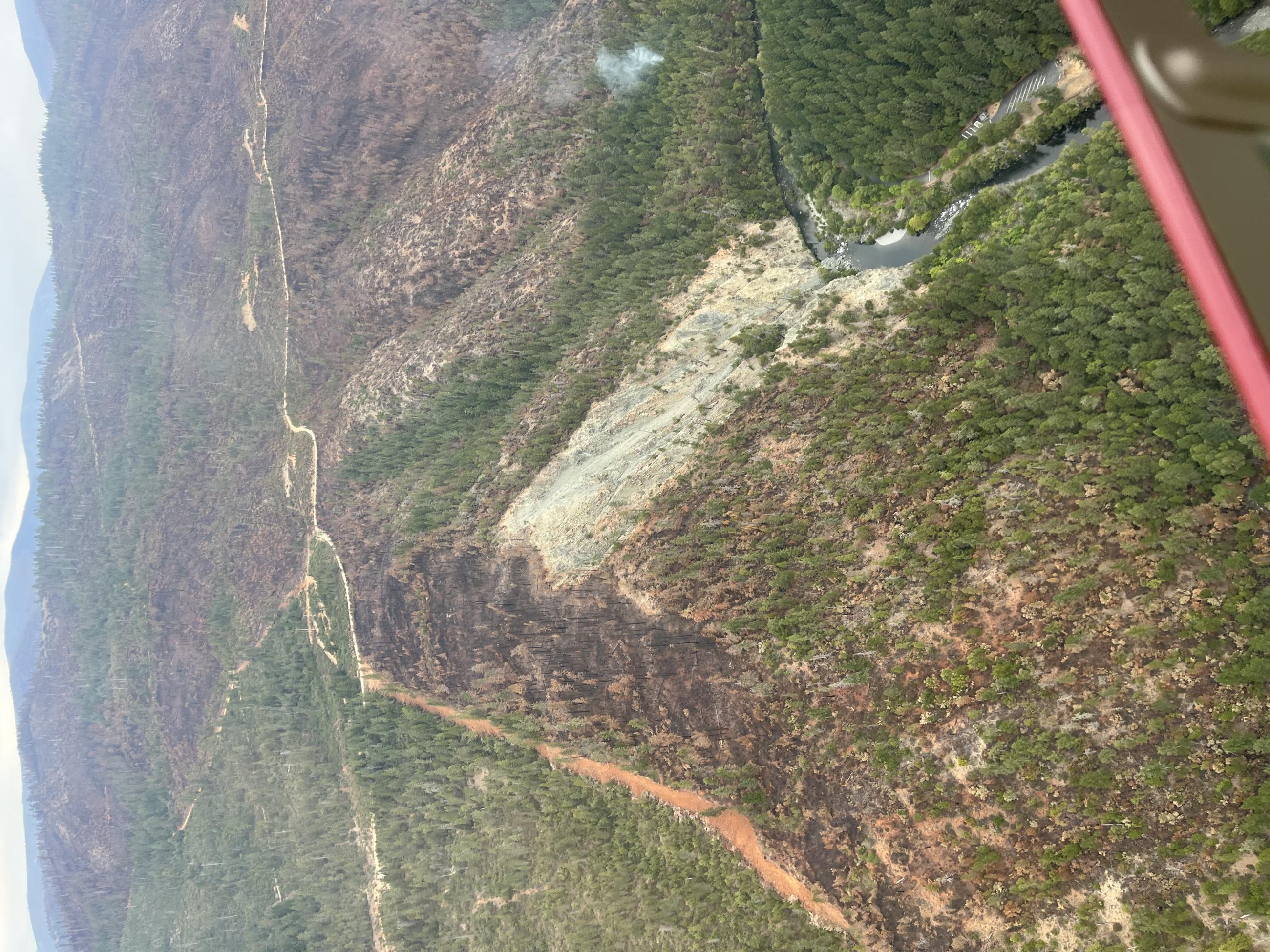
Aerial reconnaissance of the Smith River Complex Burned Areas
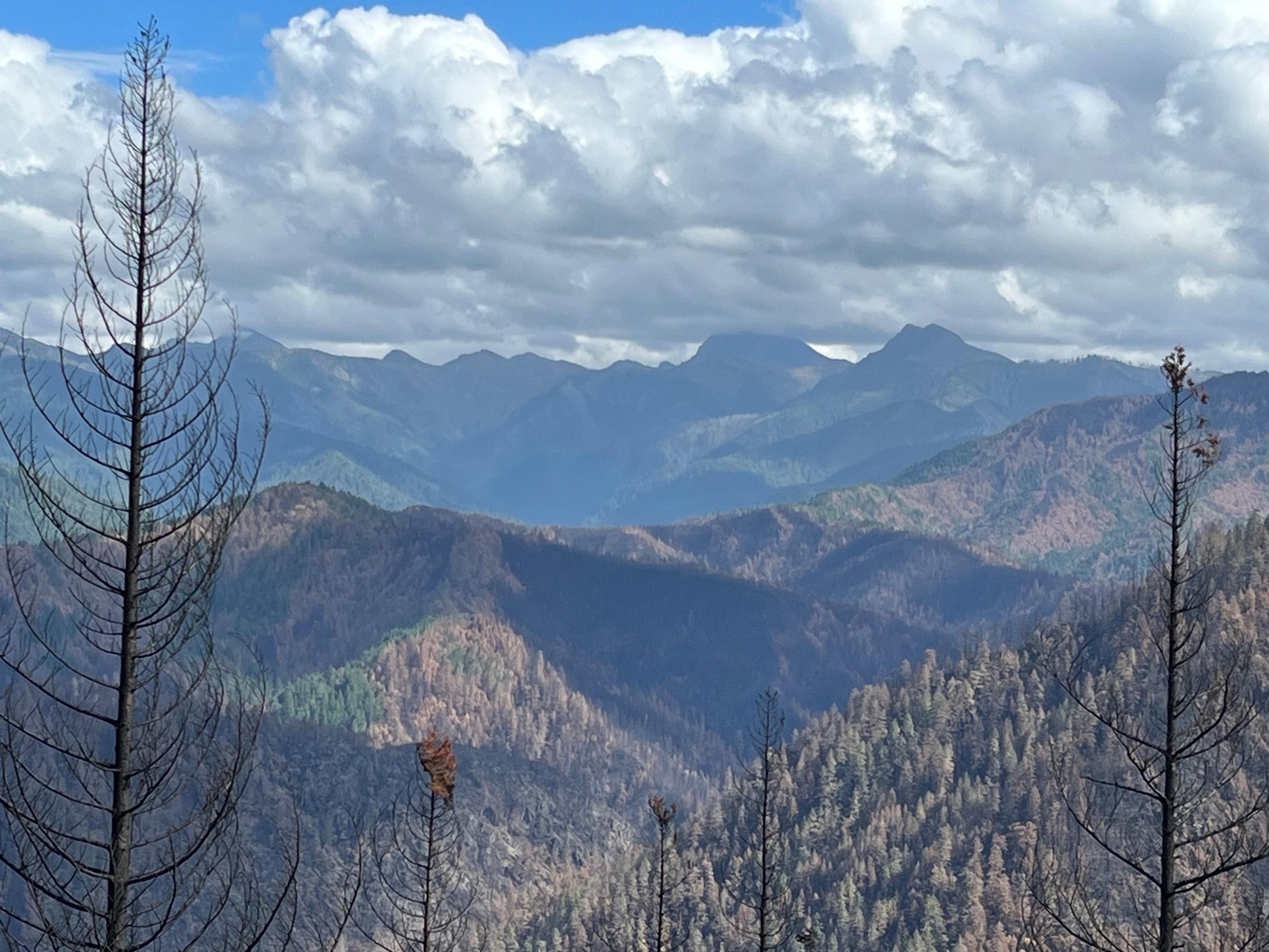
Shelley and Monkey Creek Ridges in Smith River Complex
Aerial reconnaissance of the Smith River Complex Burned Areas
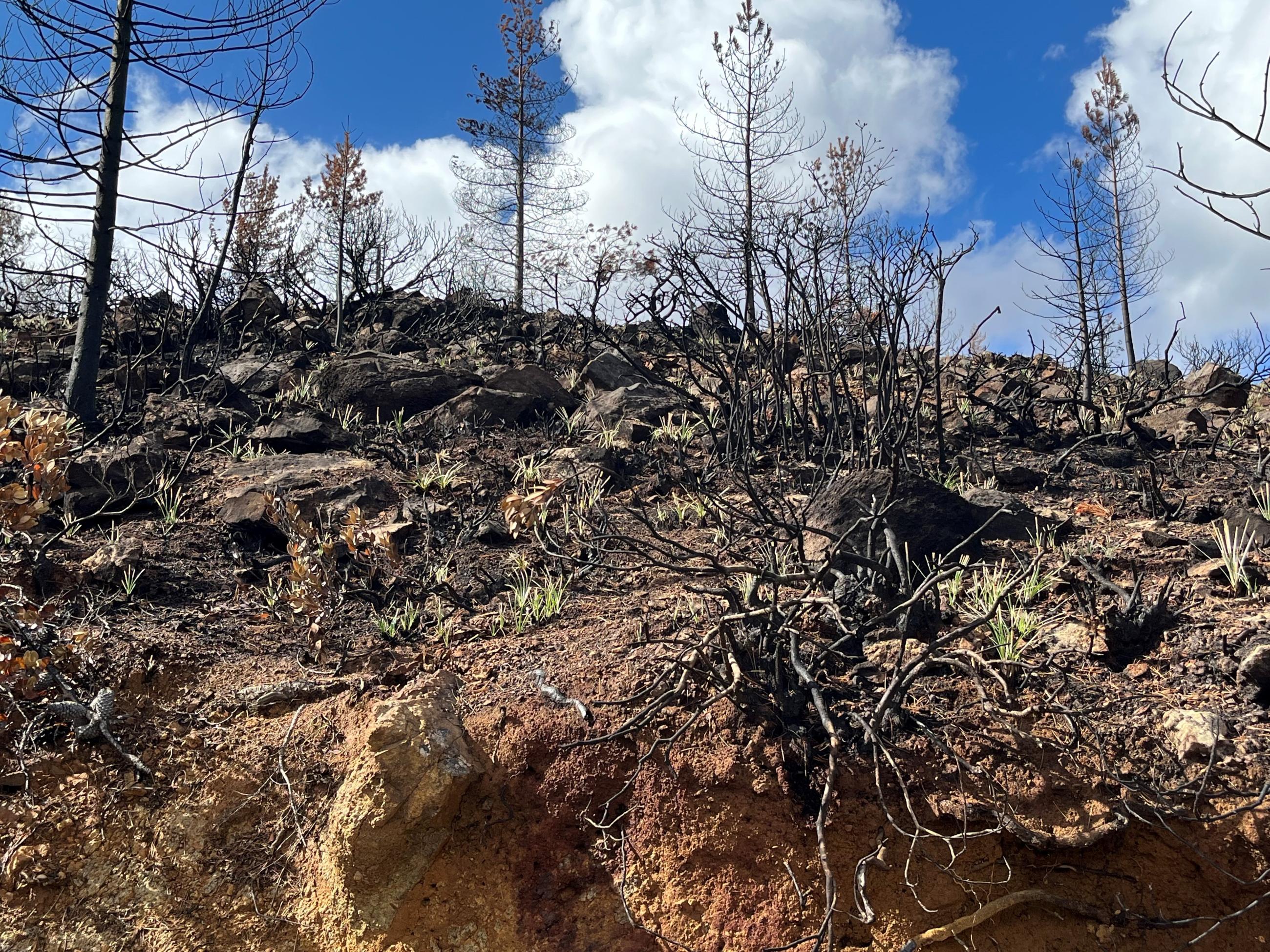
High soil burn severity area in peridotite with xerophyllum tenax re-sprouting
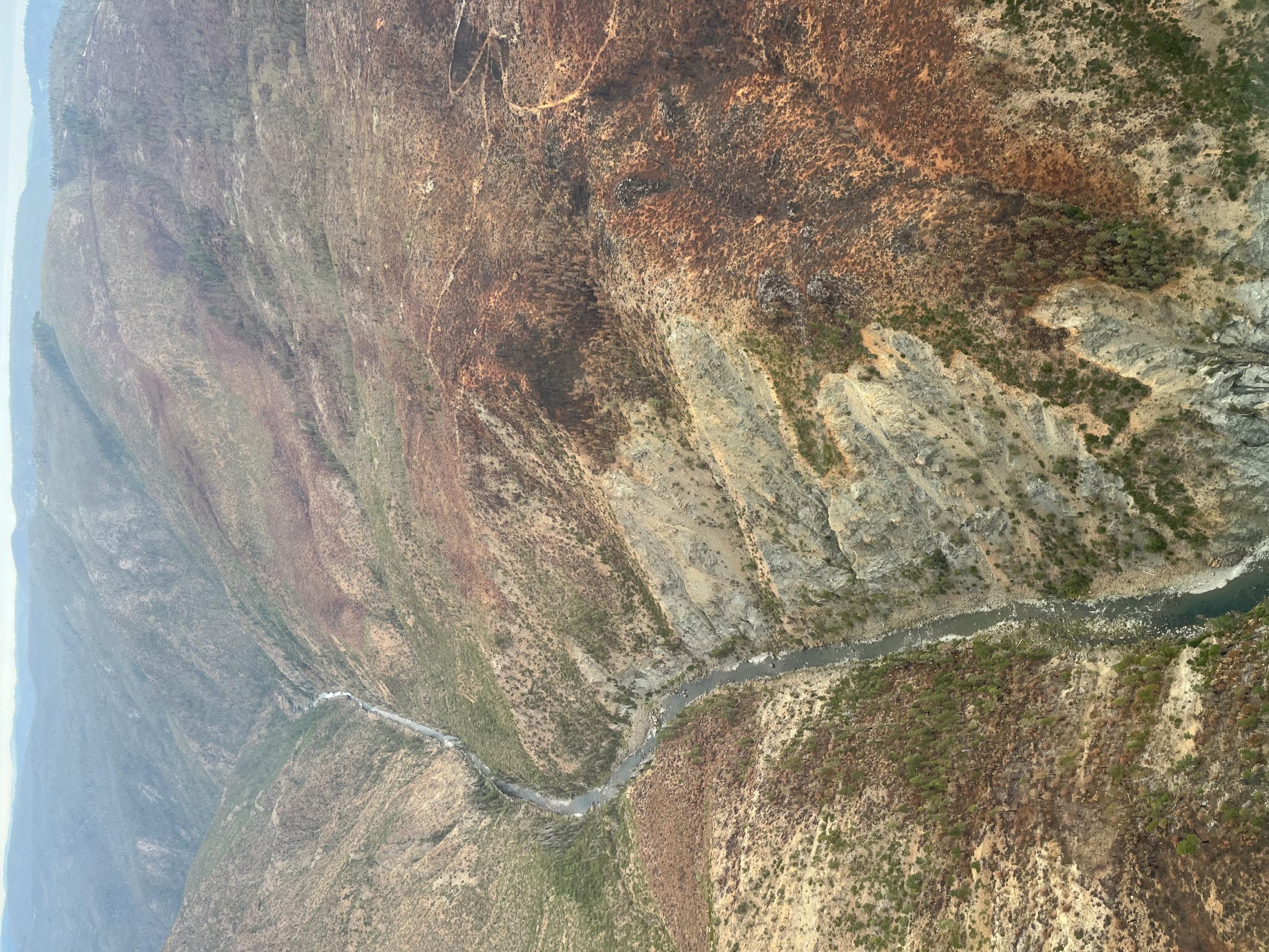
Aerial reconnaissance of the Smith River Complex Burned Areas
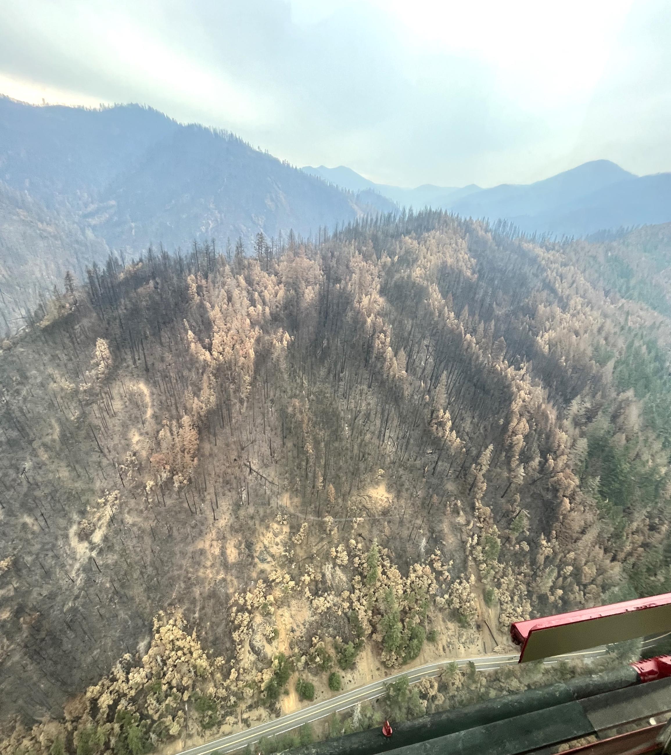
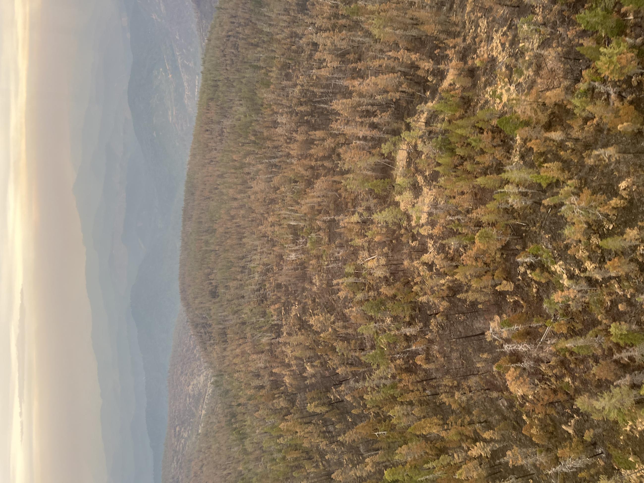
Toll Road on the Westside of Smith River North
Aerial reconnaissance of the Smith River Complex Burned Areas