
Incident Media Photographs
Could not determine your location.
 Wildfire
 Prescribed Fire
 Burned Area
Response
Burned Area
Response Other
Other
2023 SRF Lightning Complex Post-Fire BAER
Unit Information
Incident Contacts
- BAER InformationPhone:707-853-4243
Photographs Gallery
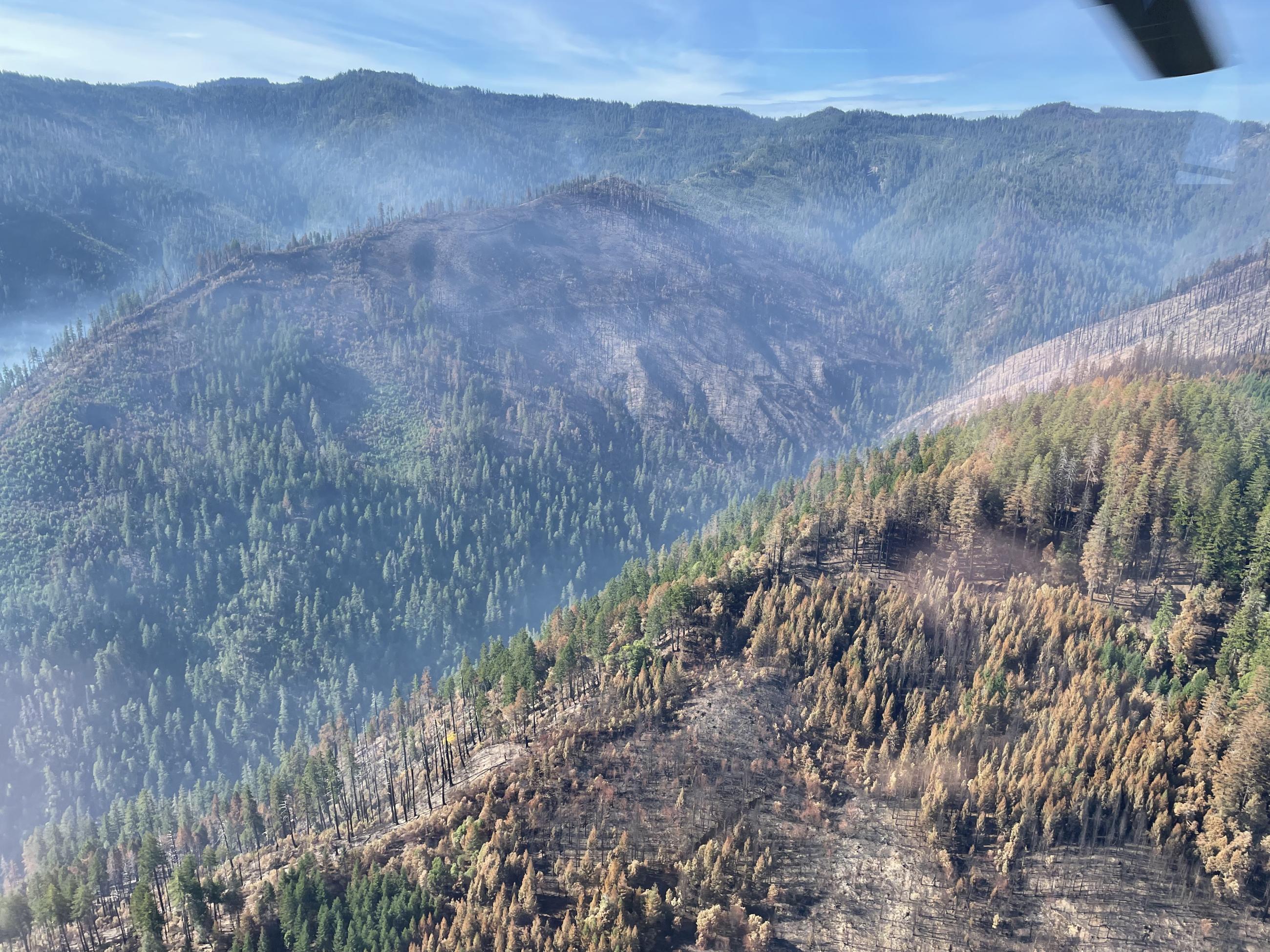
Mosquito Fire-Midground are multiple slope failures along north-face slope of Lightening Ridge
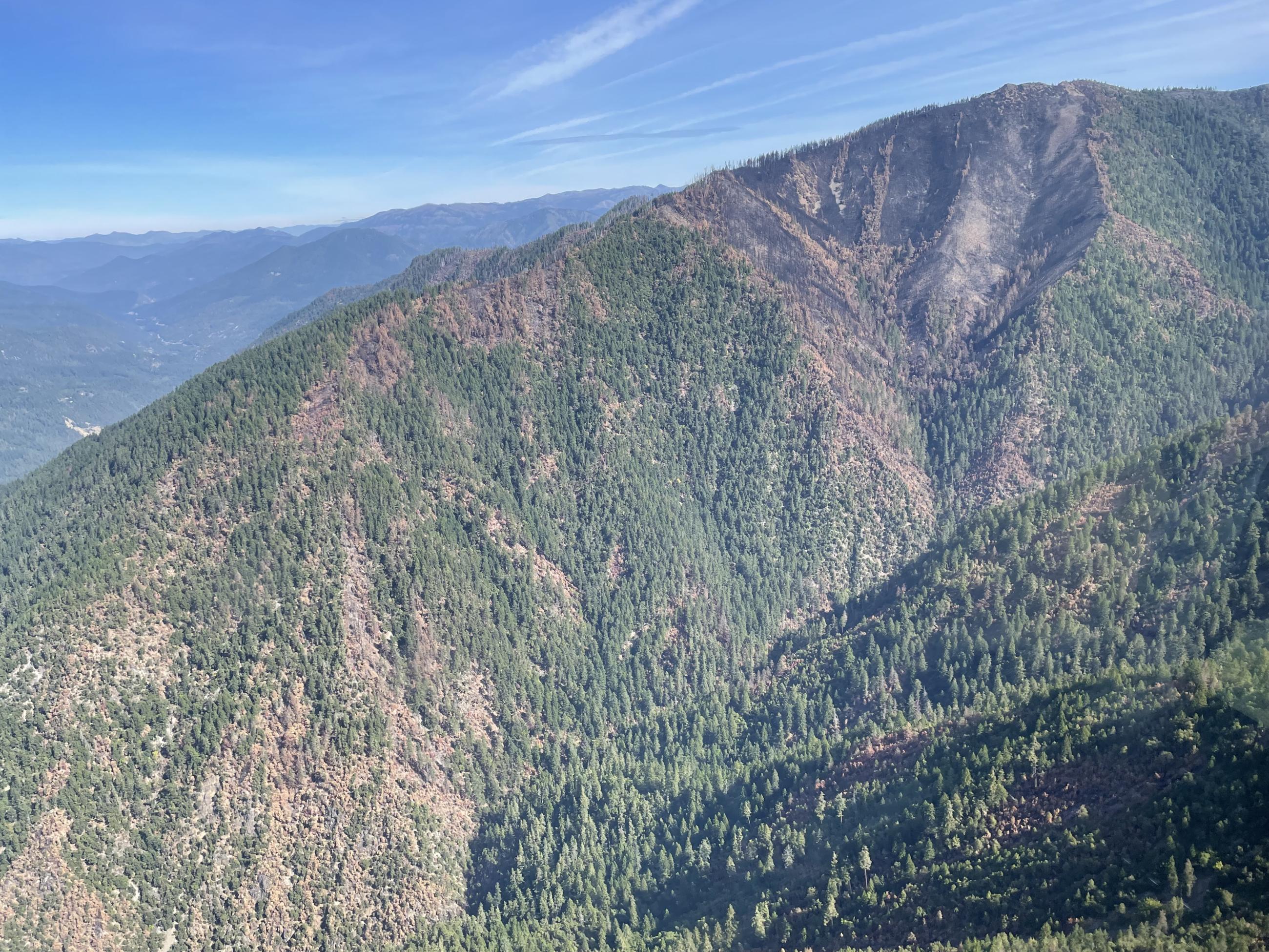
Lone Pine Fire - FS Road 08N03-10N02 pre-fire rockfall will be exacerbated by fire
Pearch Fire-High soil burn severity on SW flank of Somes Mountain drains into Pearch Creek
Mosquito Fire-Lightening Ridge on left with multiple failures, the ridge north of Salal gulch has high soil burn severity
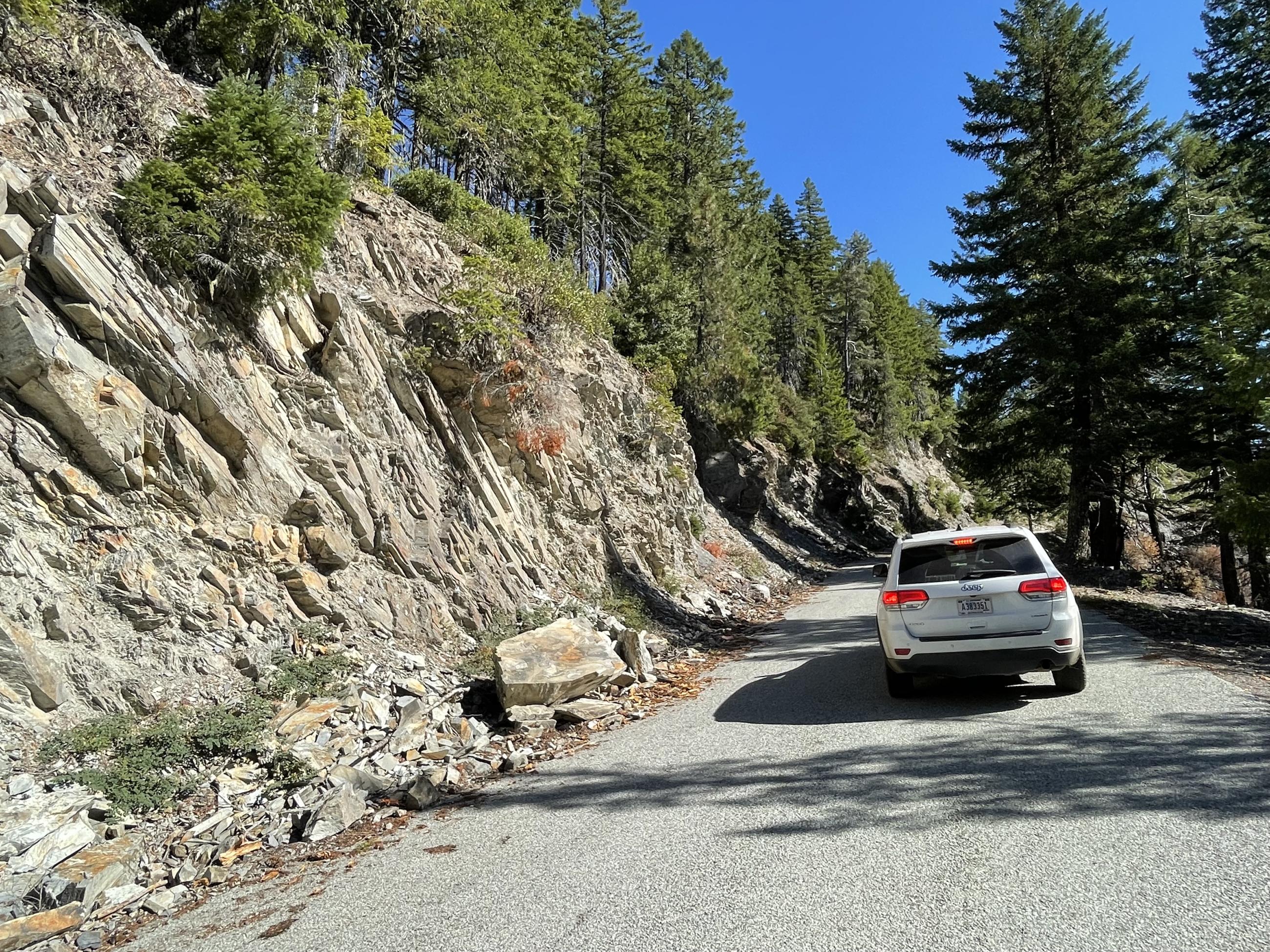
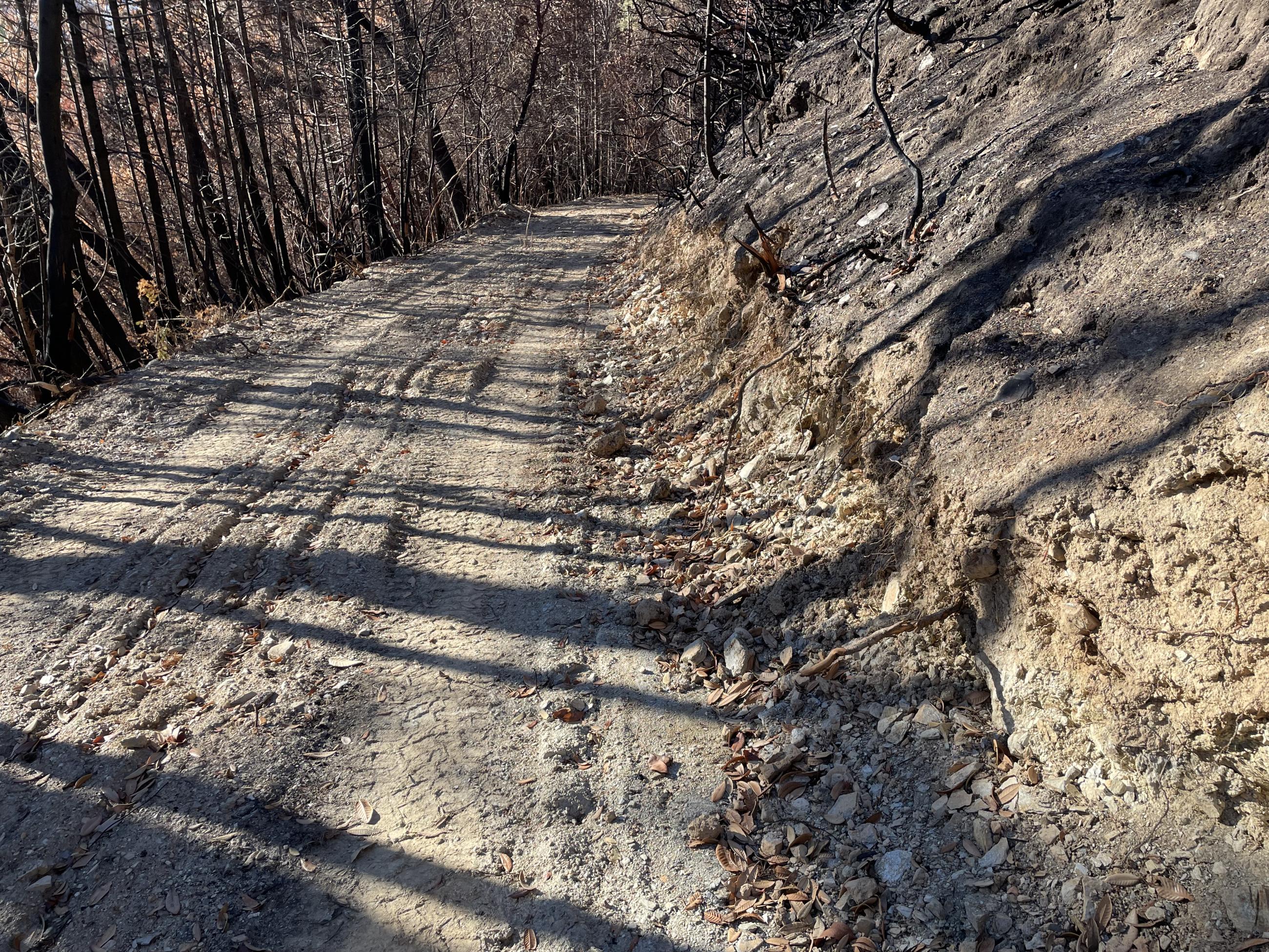
Mosquito Fire - Pre-fire rockfall on the G-O road
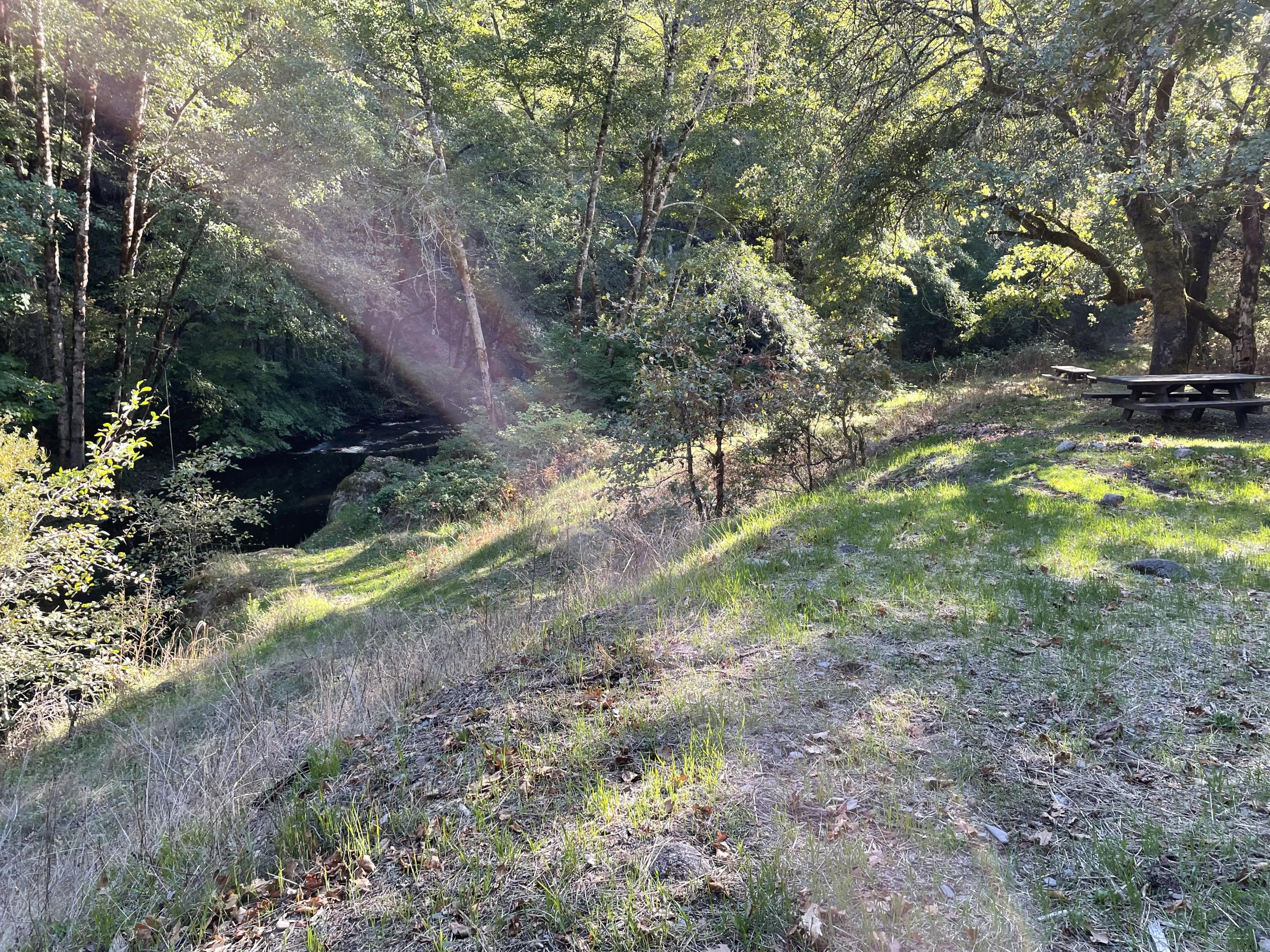
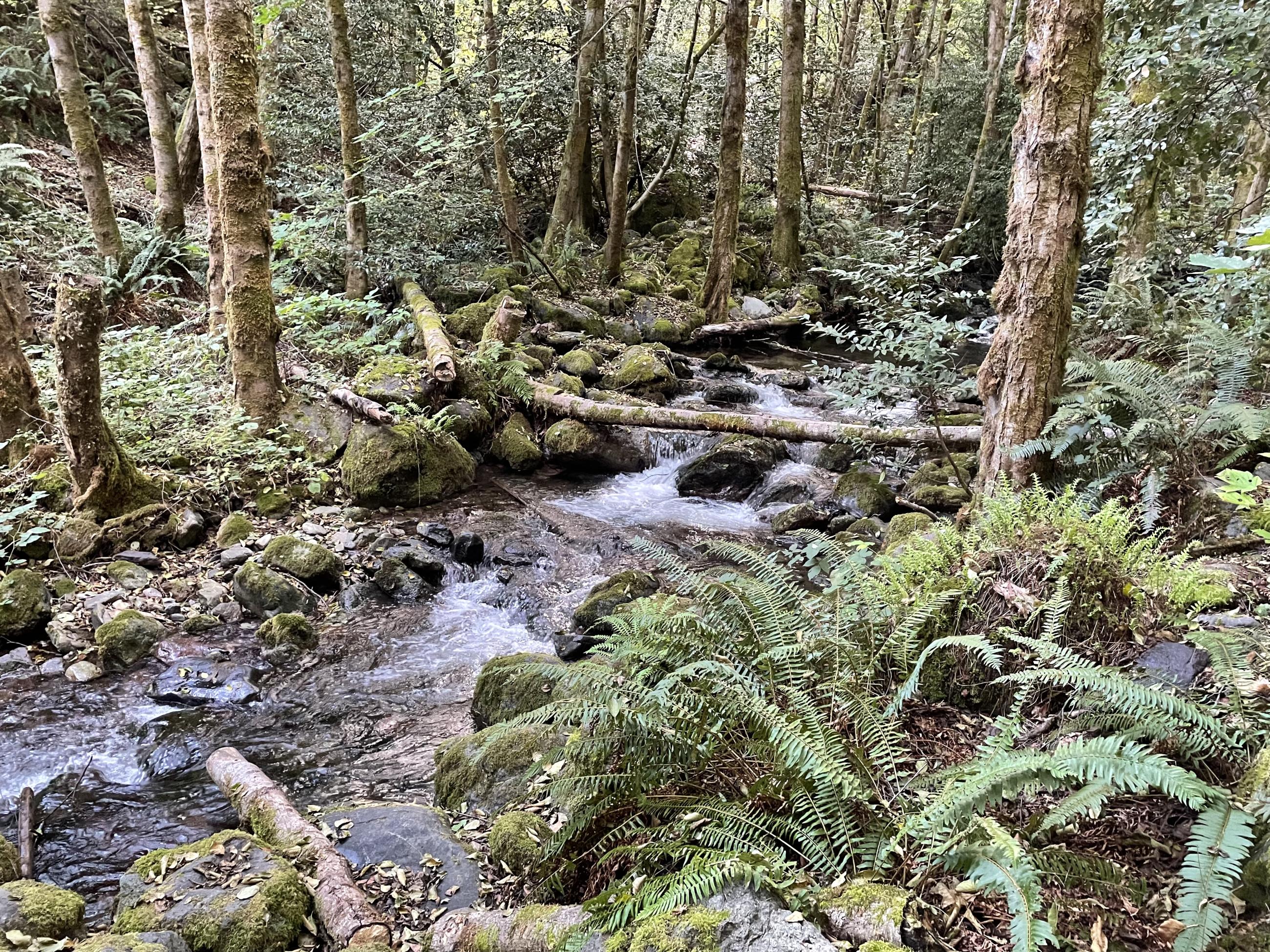
Lone Pine Fire - Horse Linto Campground above Horse Linto Creek
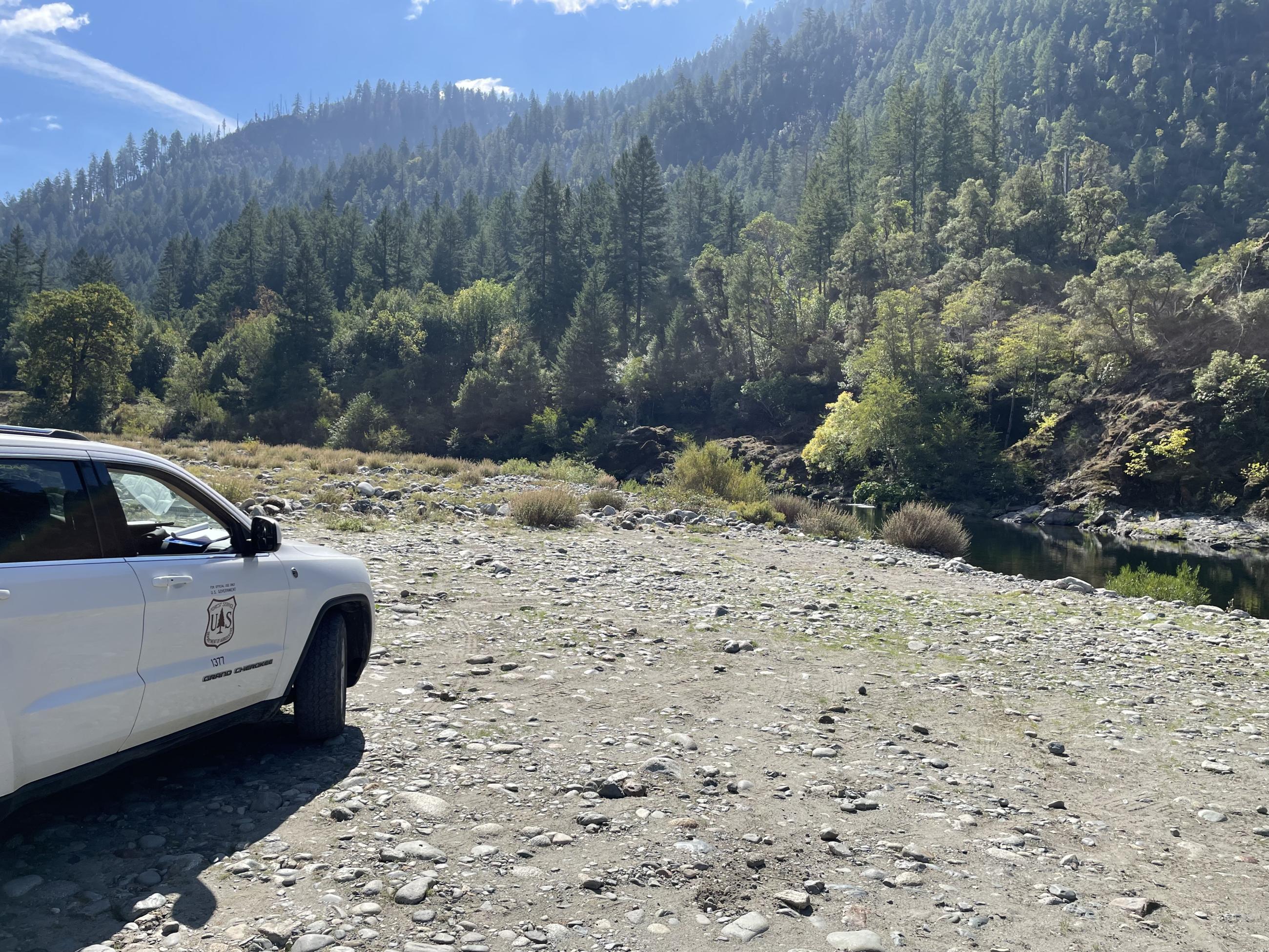
Pearch Fire-Oak Bottom River Access, the Somes Creek confluence is across the river
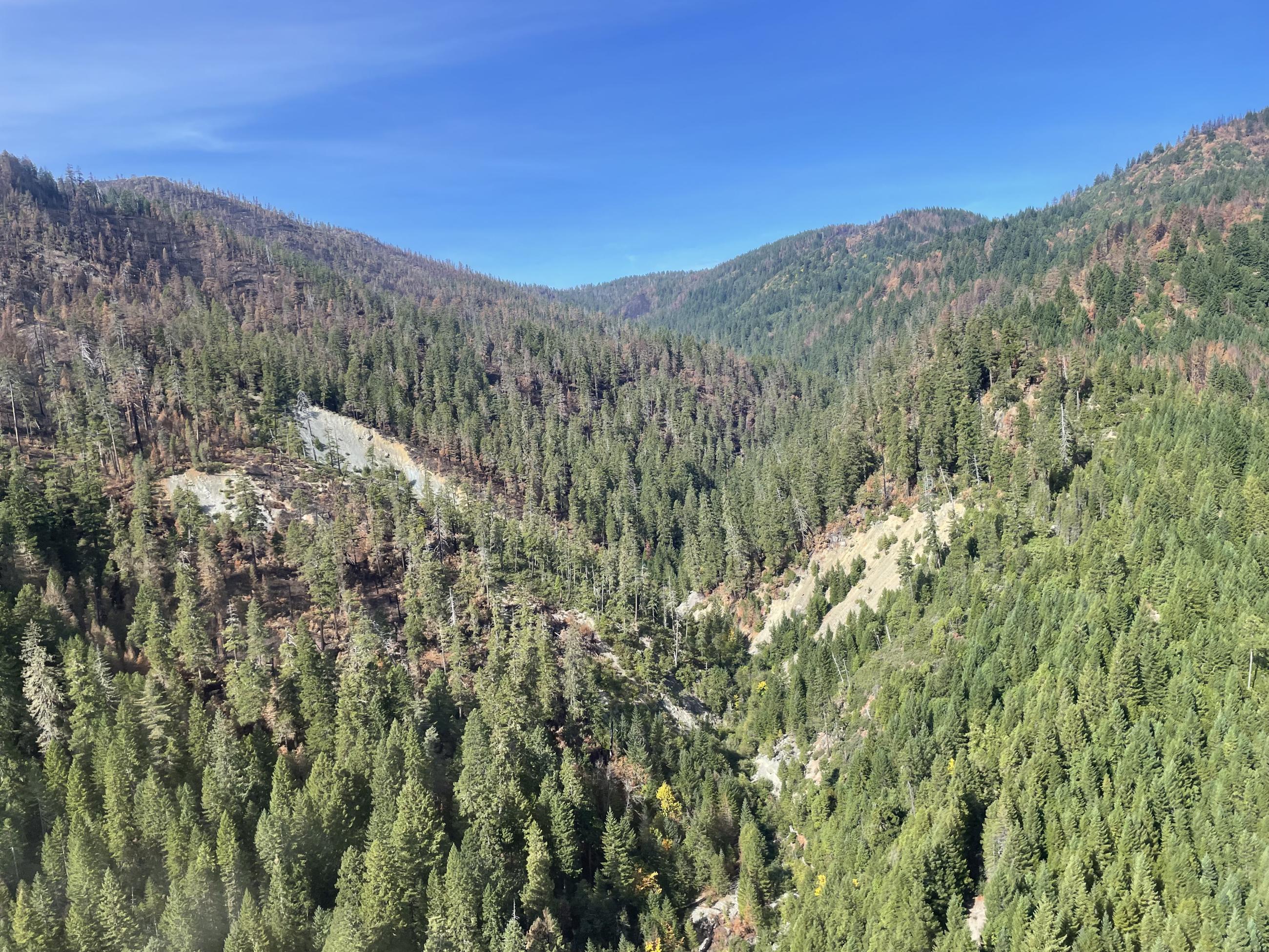
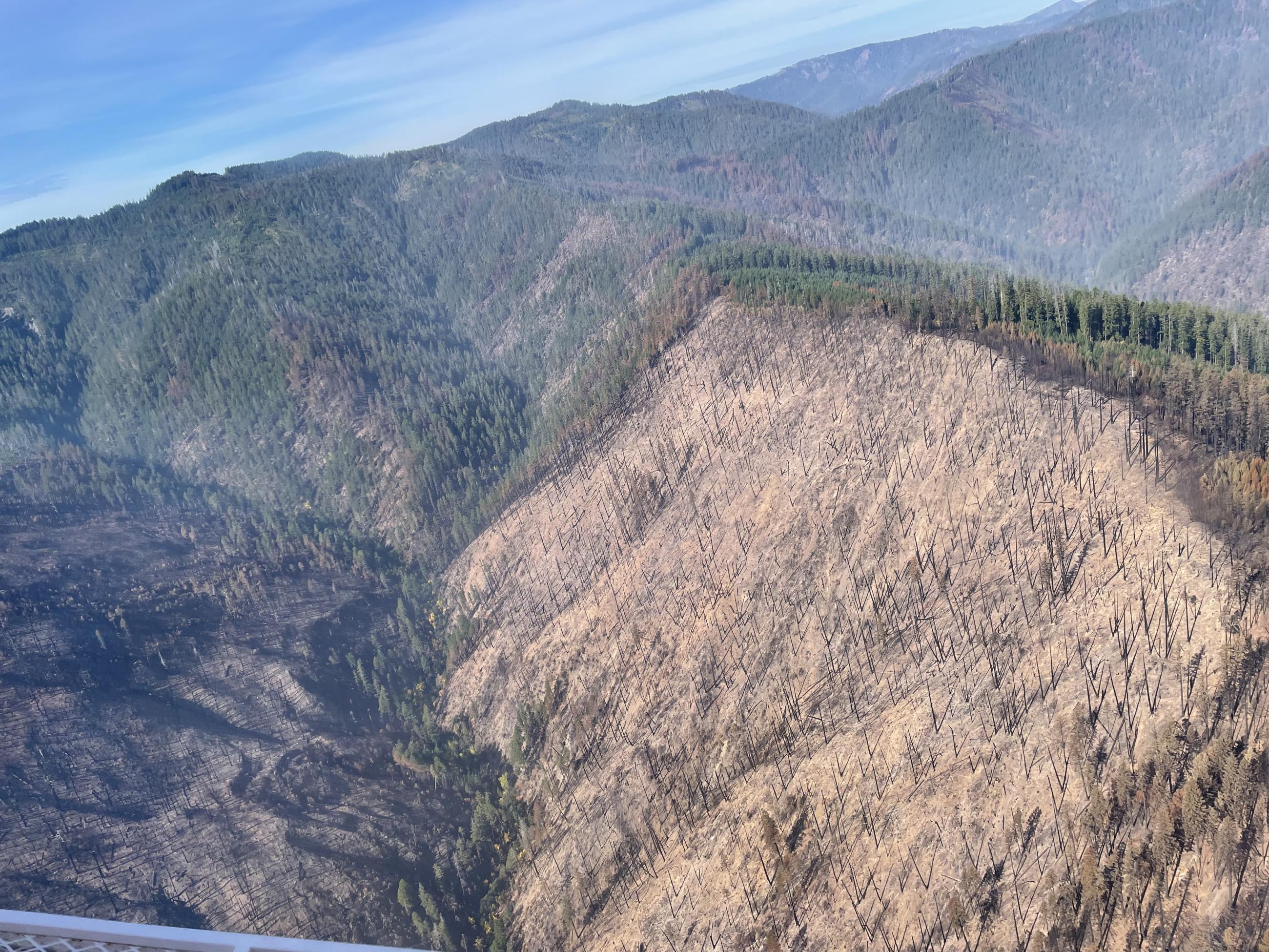
Mosquito Fire - Looking west up Notice Creek at multiple hill slope failures
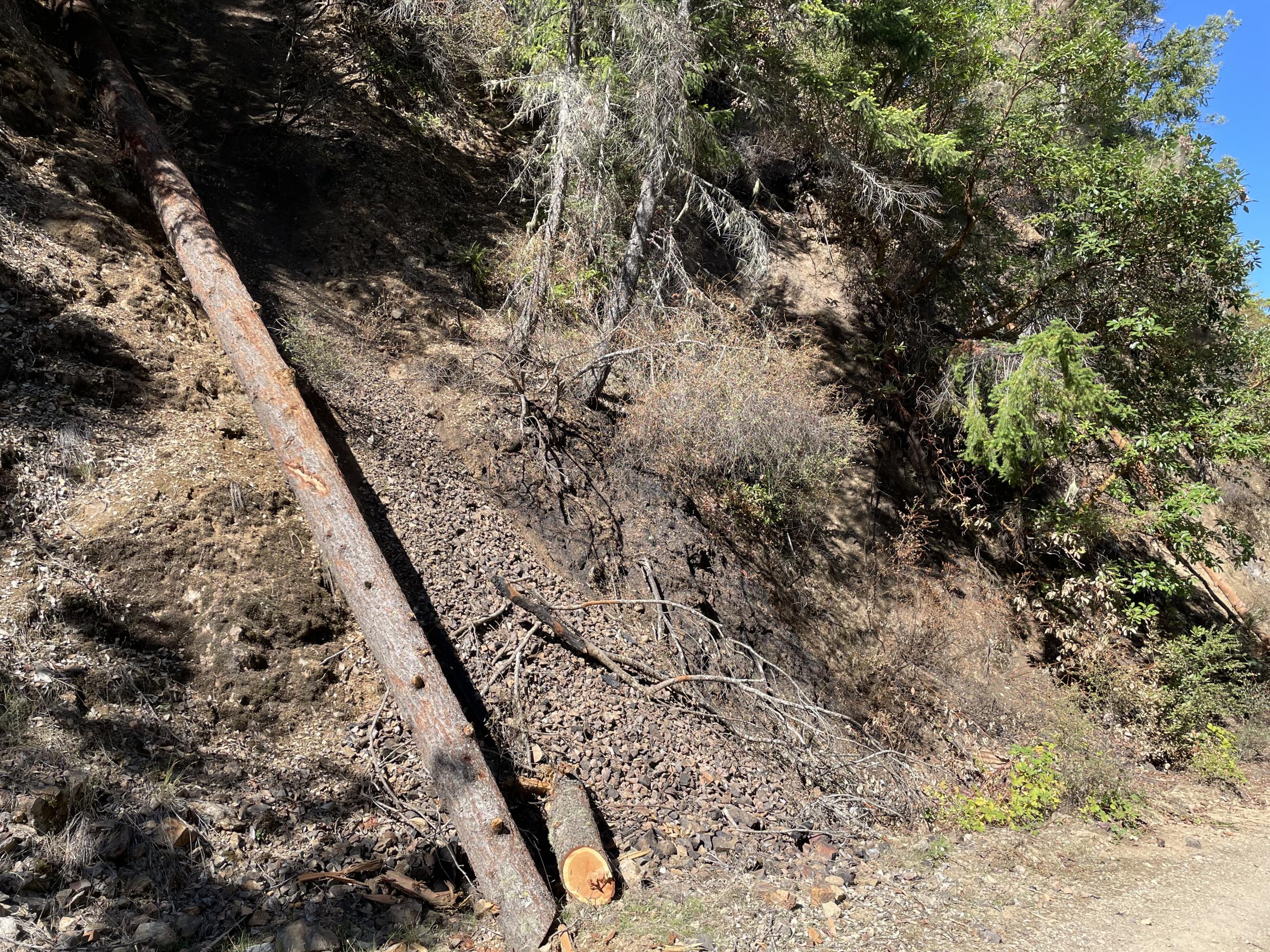
Pearch Fire - FS Road 11N01 fire-related dry ravel
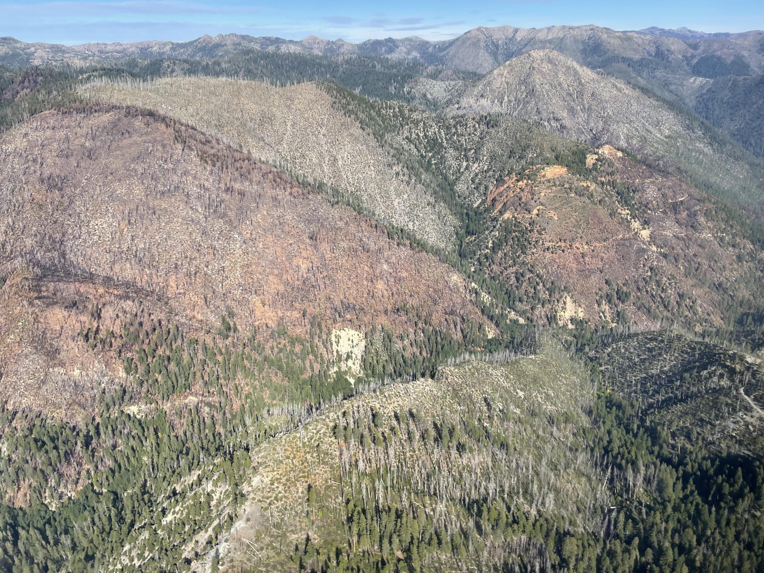
Mosquito Fire - burn above and west of Copper Creek with Siskan Mine on rightside
Pearch Fire-Pearch Creek debris flow deposits below Pearch Creek Campground