Incident Media Photographs
Could not determine your location.
Lost Fire
Unit Information
Incident Contacts
- 2023 SRF Lightning Complex and Redwood Complexes Fire InformationPhone:530-536-0767Hours:8am - 8pm
Photographs Gallery

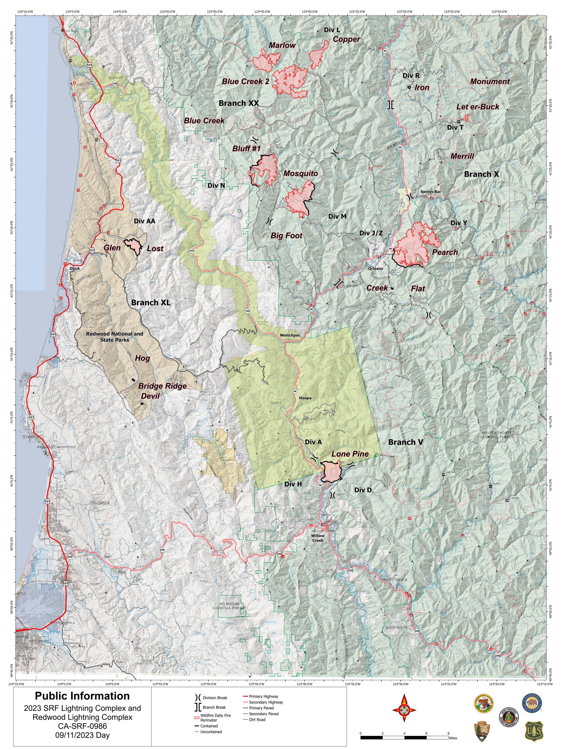
A map of the active fires on the 2023 SRF Lightning Complex and Redwood Lightning Complex for 9/11/23

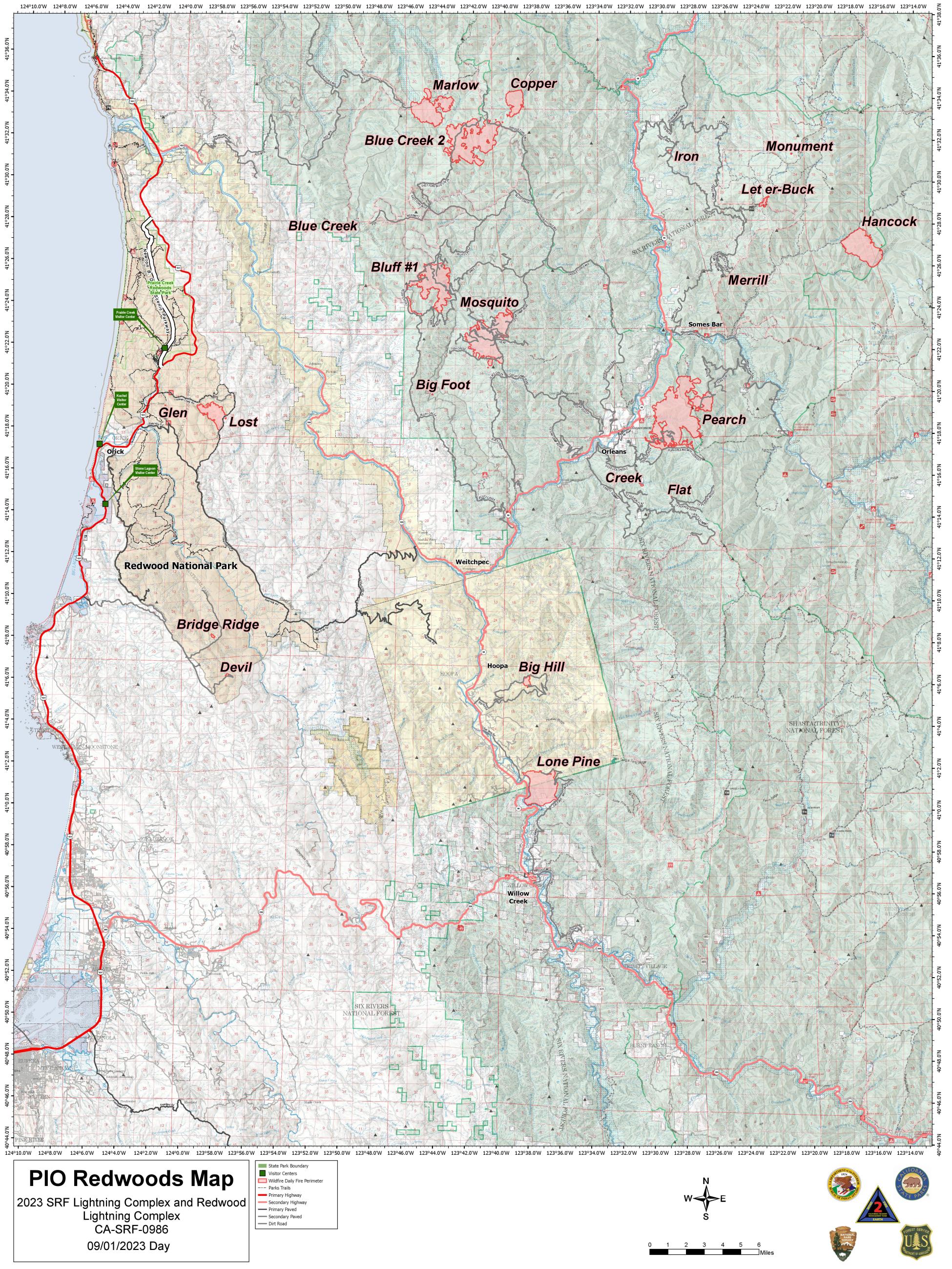
A map of the active fires on the 2023 SRF Lightning Complex and Redwood Lightning Complex

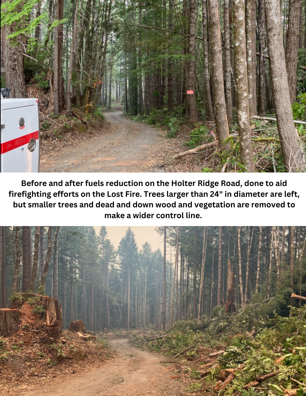
Before and after fuel reduction on the Holter Ridge Road, done to aid firefighting efforts on the Lost Fire. Trees larger than 24” in diameter are left, but smaller trees and dead and down wood and vegetation are removed to make a wider control line.

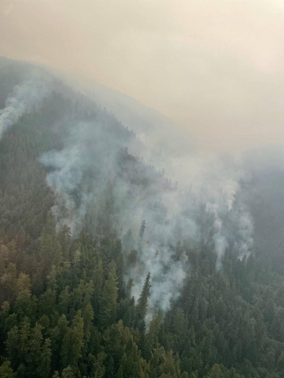
The heel of Lost Fire as seen from a helicopter on Sunday, August 20, 2023. The heel refers to the part of the fire that is generally burning into the wind and is opposite of the primary direction the fire is moving.

 InciWeb