Incident Media Photographs
Settings - change map background and toggle additional layers
Filter - control incident types displayed on map.
Zoom to your location
Reset map zoom and position
Could not determine your location.
Show Legend
Photographs Gallery
![Picture is of active fire burning on the surface in a ponderosa pine forest in the Buckhorn Fire.](https://inciweb-prod-media-bucket.s3.us-gov-west-1.amazonaws.com/s3fs-public/styles/max_2600x2600/public/2024-07/Photos_20240715_Burning_001110.jpg?VersionId=BxTiKeyfh7Li3kSe3PrqEFm4cyyPBe9N&itok=p5xETLvZ)
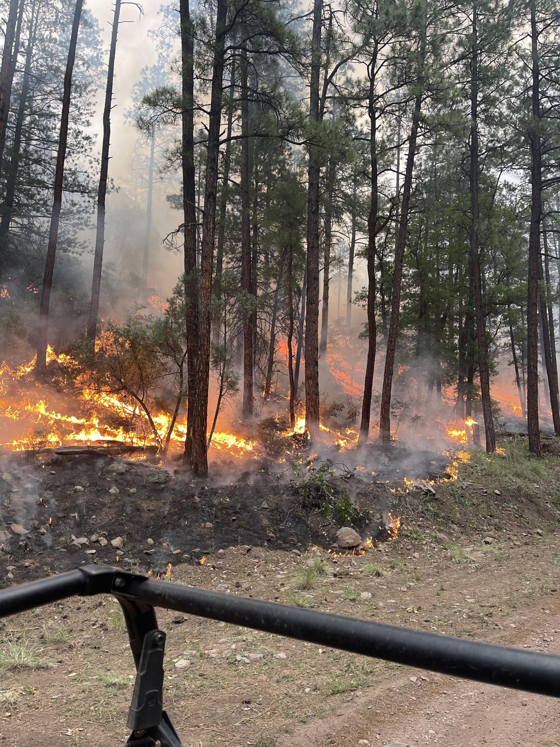
Photo taken in Buckhorn Fire perimeter on July 15, 2024.
![Picture shows fire burning along the ground next to an unburned area, separated by a dirt two track road.](https://inciweb-prod-media-bucket.s3.us-gov-west-1.amazonaws.com/s3fs-public/styles/max_2600x2600/public/2024-07/Photos_20240725_SlopeFire_001110.jpg?VersionId=k69CIjOZtThQPLiB9LUJdOypG.82e0zd&itok=8wvBozCC)
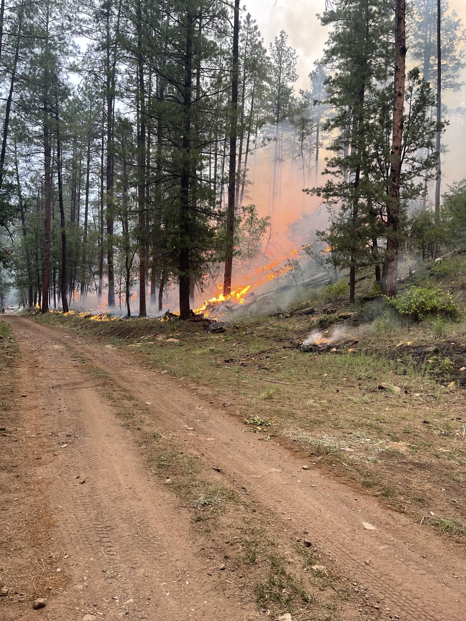
Crews work of the road to keep the fire contained.
![Picture shows an open area with tall ponderosa pine in the foreground and a smoke column rising in the background.](https://inciweb-prod-media-bucket.s3.us-gov-west-1.amazonaws.com/s3fs-public/styles/max_2600x2600/public/2024-07/Photos_20240715_RoadBurn_001110.jpg?VersionId=0pAt8HQlt28sR1hJPOlEWdutPD.kkfJN&itok=ZWUXepSc)
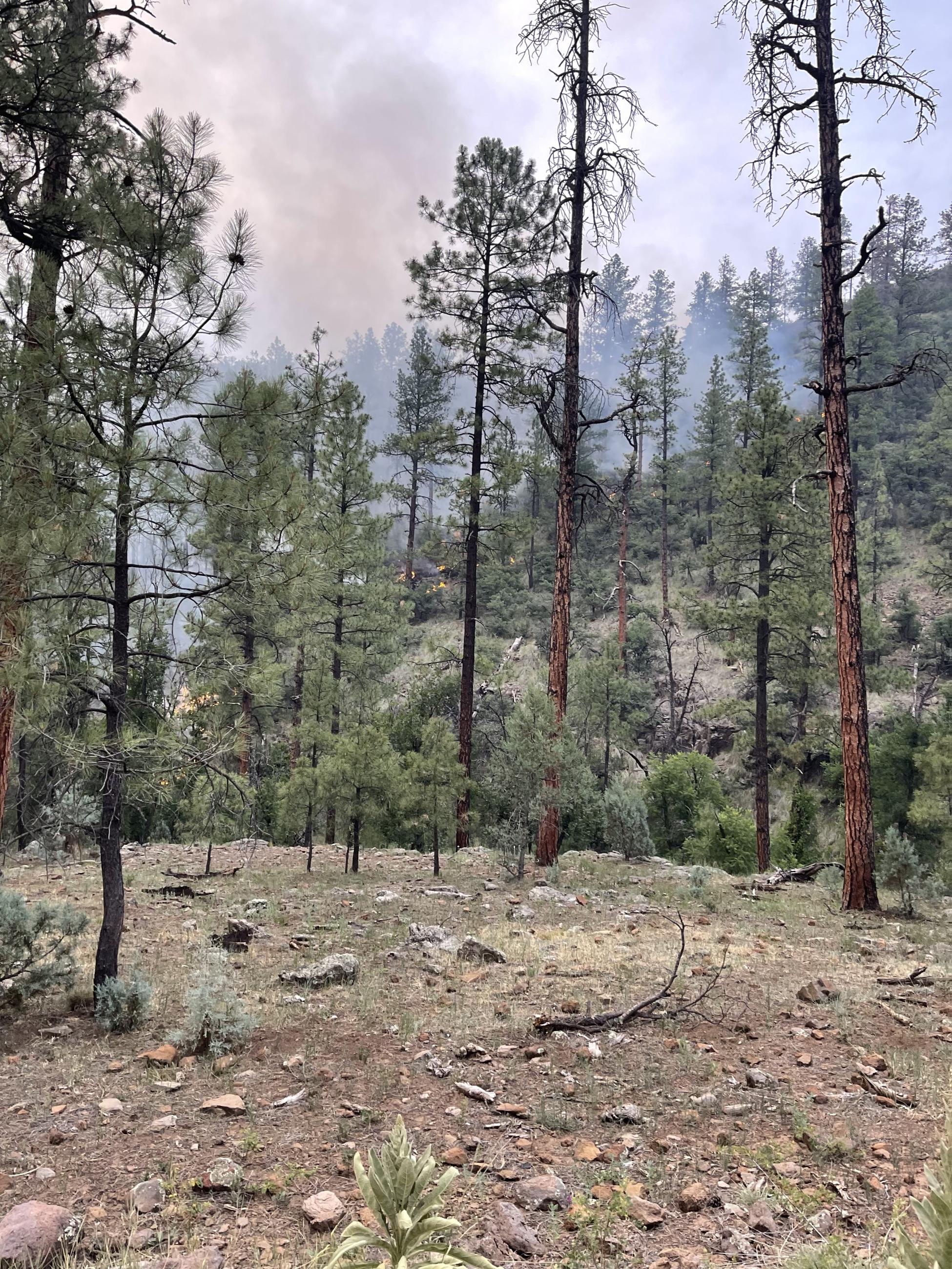
Smoke column rising from an area of dense fuels within the Buckhorn Fire.