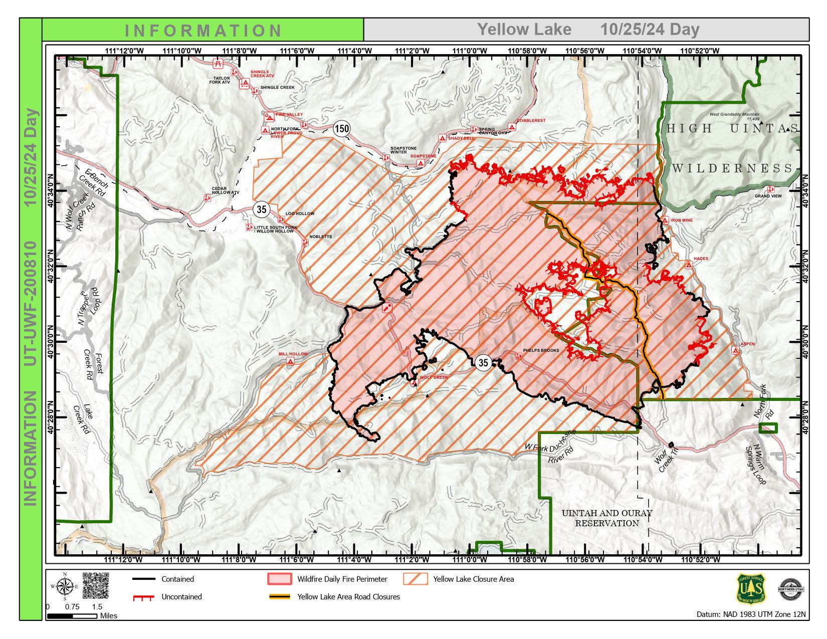
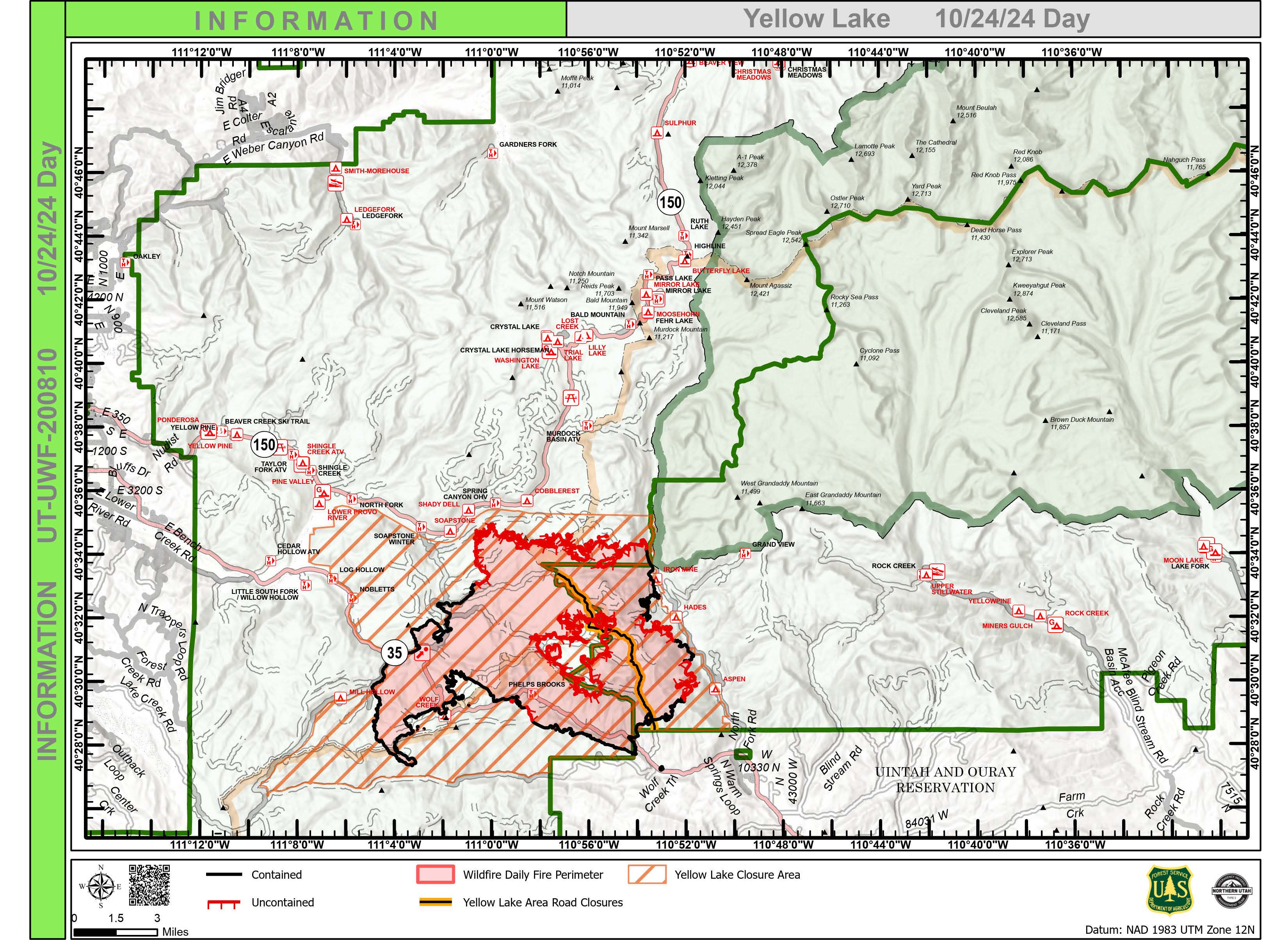
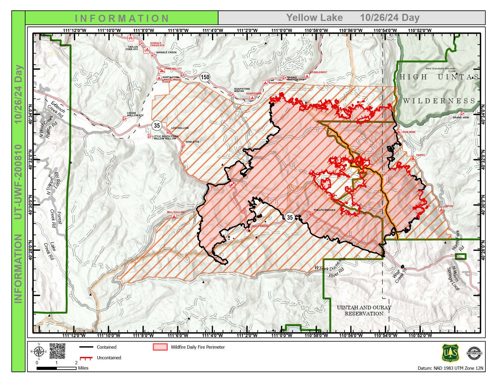
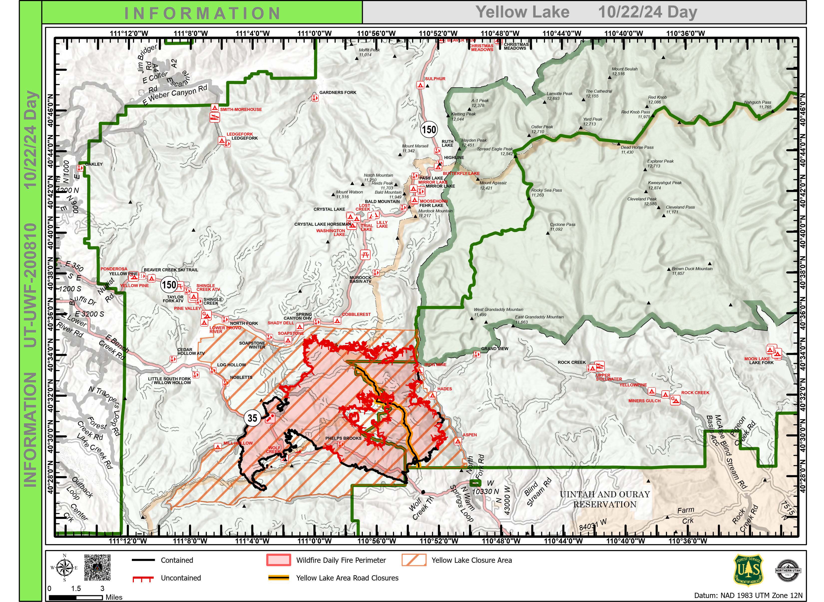
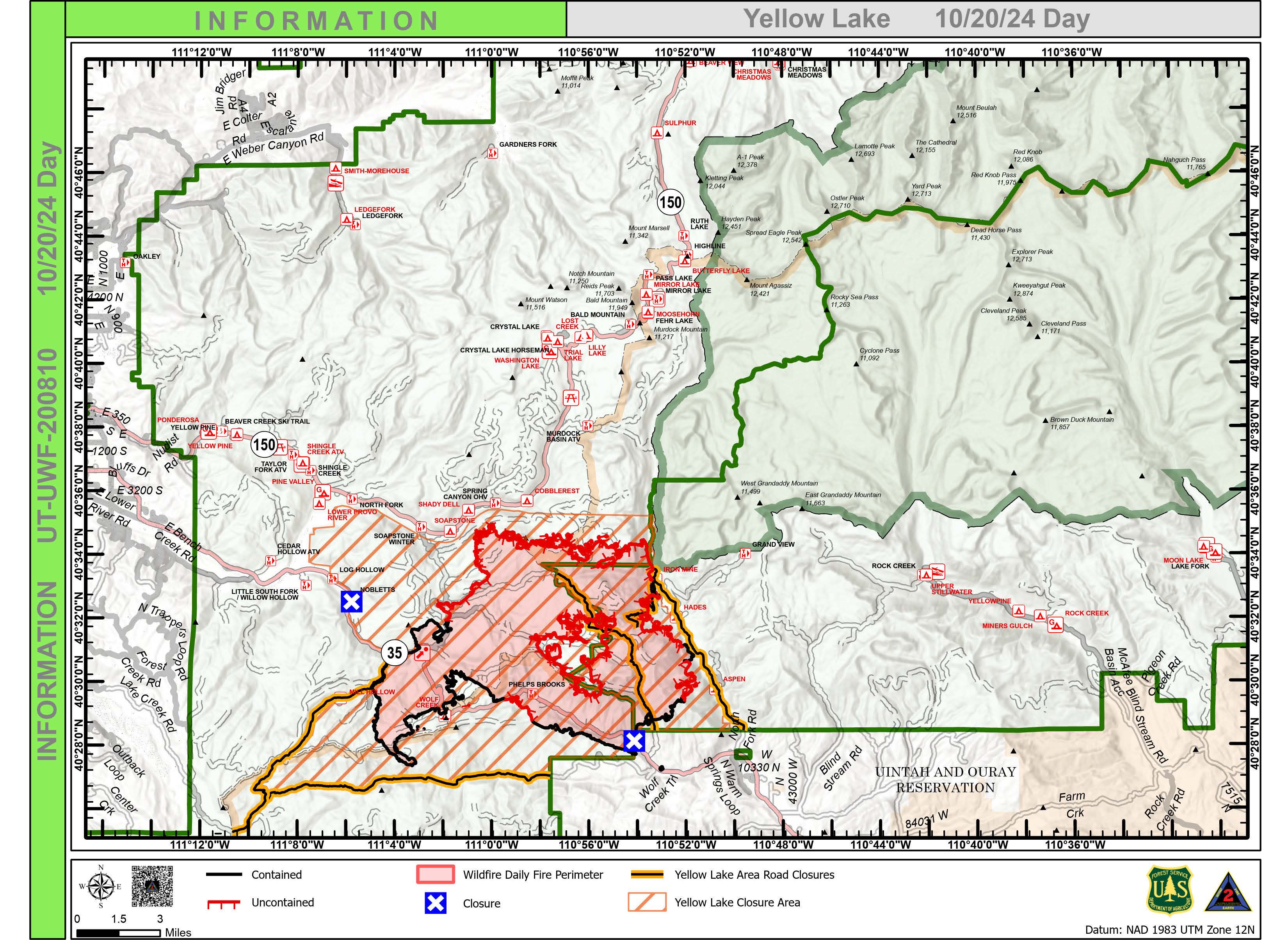
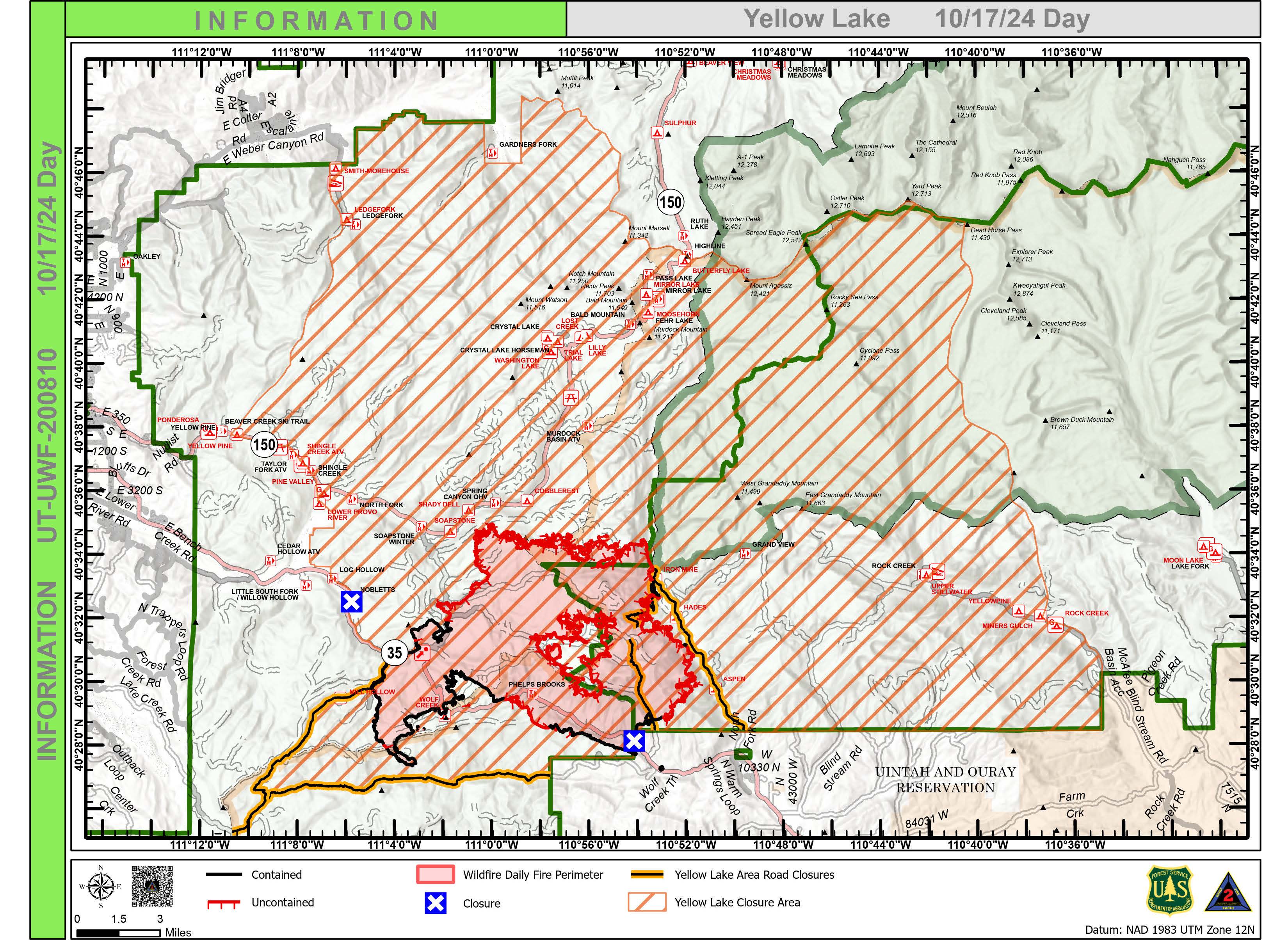
Incident Media Maps
Settings - change map background and toggle additional layers
Filter - control incident types displayed on map.
Zoom to your location
Reset map zoom and position
Could not determine your location.
Show Legend
Yellow Lake Fire
Unit Information
Incident Contacts
- Phone:435-783-4338Hours:8:00 am to 4:30 pm
Maps Gallery
Image options: [ Full Size ] -
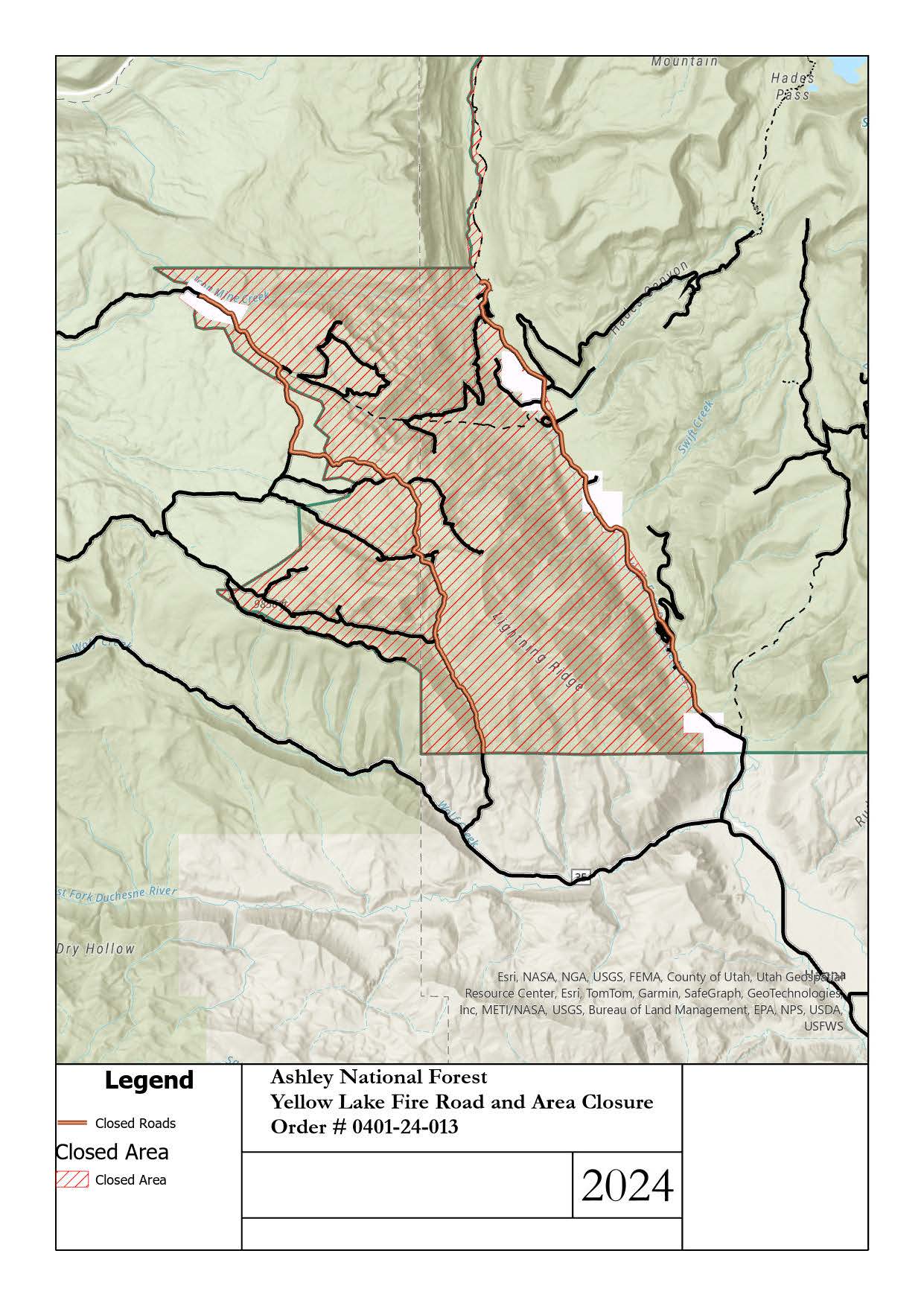
Closure Map (October 18, 2024) for Yellow Lake Fire on Ashley National Forest

 InciWeb
