Incident Media Maps
Could not determine your location.
Maps Gallery

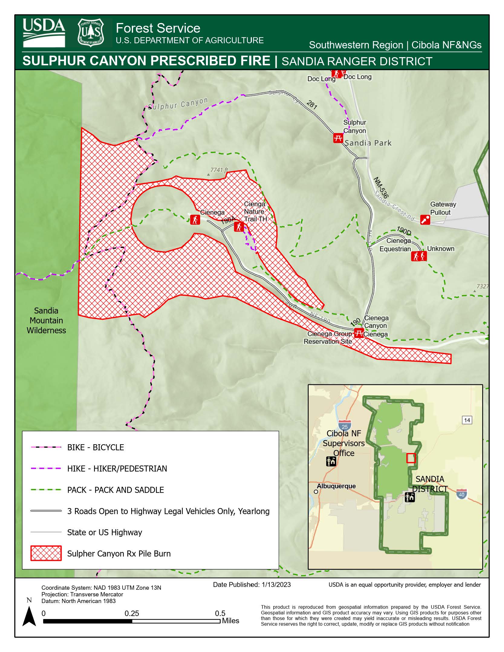
Map of Sulphur Canyon Prescribed Fire Pile Burn on Sandia Ranger District of the Cibola National Forest & National Grasslands
100 acres of piles within the Sulphur unit under the Sandia Piles Rx plan. The pile burn area is located in the Sandia east mountains, north of I-40, west of NM-14 and south of NM-536. . Smoke may be visible from Albuquerque, Tijeras and Edgewood.

 InciWeb