
NOTICE: Following transfer of command on 9/28/24 the information on this page will not be updated on a daily basis. Significant updates will be posted as needed.
The Willamette Complex North is located northeast of Blue River and southeast of Oak Ridge. The Complex consists of the Boulder Creek, Linton Creek, and 347 Fires that were reported on July 28, 2024, and the Ore Fire that was reported on July 17, 2024. The Pyramid Fire was transitioned to a Type 4 organization with the Willamette National Forest.
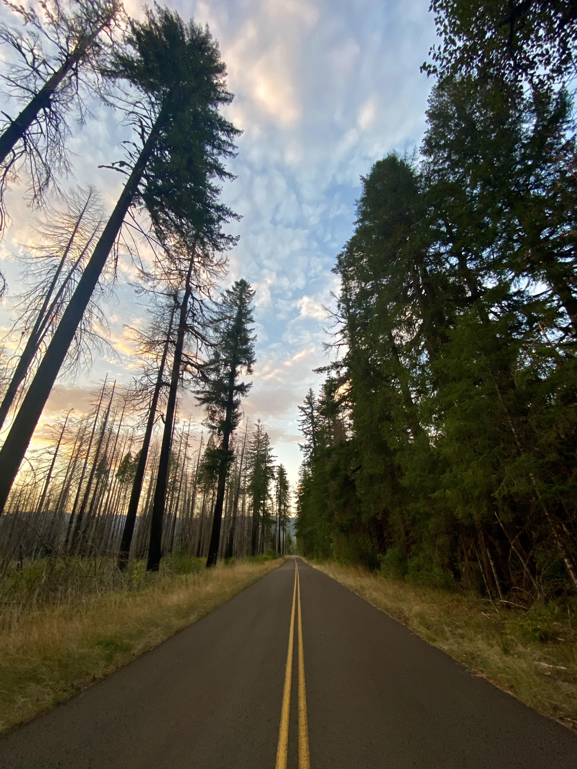
The three fires in the complex were started by lightning, while the Ore Fire was human-caused. The fires are burning adjacent to old fire scars in fuels that are composed of heavy timber stingers, wet meadows, and rocky areas. The fires are also burning in a mix of conifer timber litter and timber with understory. Large snags and heavy downed fuel loadings are common.
Willamette Complex Fires North Summary
Boulder Creek: 84% contained, 523 acres
374: 0% contained, 98 acres
Linton Creek: 0% contained, 1,310 acres
Ore: 100% contained, 3,485
NOTICE: Following transfer of command on 9/28/24 the information on this page will not be updated on a daily basis. Significant updates will be posted as needed.
The Willamette Complex North is located northeast of Blue River and southeast of Oak Ridge. The Complex consists of the Boulder Creek, Linton Creek, and 347 Fires that were reported on July 28, 2024, and the Ore Fire that was reported on July 17, 2024. The Pyramid Fire was transitioned to a Type 4 organization with the Willamette National Forest.
The three fires in the complex were started by lightning, while the Ore Fire was human-caused. The fires are burning adjacent to old fire scars in fuels that are composed of heavy timber stingers, wet meadows, and rocky areas. The fires are also burning in a mix of conifer timber litter and timber with understory. Large snags and heavy downed fuel loadings are common.
Willamette Complex Fires North Summary
Boulder Creek: 84% contained, 523 acres
374: 0% contained, 98 acres
Linton Creek: 0% contained, 1,310 acres
Ore: 100% contained, 3,485
| Current as of | Tue, 10/08/2024 - 12:21 |
|---|---|
| Incident Time Zone | America/Los_Angeles |
| Incident Type | Wildfire |
| Cause | Lightning: Boulder Creek, Linton Creek; Human-caused: Ore Fire |
| Date of Origin | |
| Location | Willamette National Forest |
| Incident Commander | Nate Orsburn, Type 3 Incident Commander |
| Incident Description | Wildfire |
| Coordinates |
44° 18' 1'' Latitude
-122° 14' 22
'' Longitude
|
| Total Personnel: | 315 |
|---|---|
| Size | 5,492 Acres |
| Fuels Involved | Closed timber litter, timber Boulder Creek, Ore, and 374: Fuels in the fire area are composed of conifer timber litter and timber with understory. Primary tree species include mixed sizes and densities of Douglas fir, cedar, and western hemlock. Local timber litter ranges from compact to fluffy. Brush and understory species include ceanothus, various hardwoods (vine maple, rhododendron), and dog-hair conifer reproduction. Large snags and heavy downed fuel loadings are common throughout all areas. Live woody and herbaceous fuels are seasonally moist, and not contributing to rates of spread. Fuel conditions change by aspect, previous management practices, and soil moisture. Low crown base height and moss in the tree canopy may serve as ladder fuels for torching and spotting. Large trees dominate the landscape. Linton Creek: Much of the fire is burning within the footprint of the 2017 Separation fire with large amounts of heavy dead and down fuels as well as standing snags. The dead fuels are intermixed with some ground fuels and low load shrub fuels (SH2). Outside of the Separation Fire to the east and south, fuels consist of heavy timber stringers, wet meadows, and rocky areas. |
| Significant Events | Minimal |
| Remarks |
This information will not be updated on a daily basis. Significant updates will be posted as needed. |
|---|