

Highlighted Media

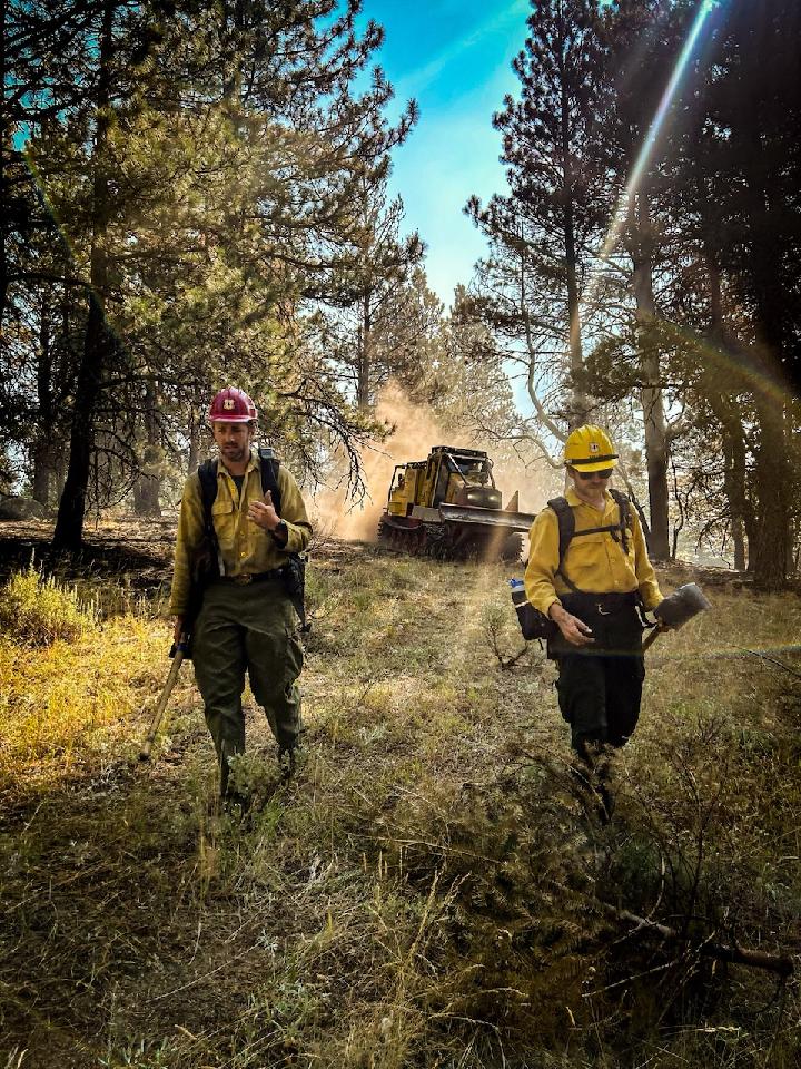

The Badland Complex consists of multiple wildfires started by lightning on July 22, 2024. All the Badland fires are located east of Interstate 84 between Durkee and Richland, Oregon. These fires are burning on private property and public lands administered by Vale Bureau of Land Management. On July 25, 2024, Rocky Mountain Area Complex Incident Management Team Two assumed command of the complex.
There are level 1, 2, and 3 evacuations in place by the Baker and Malheur County Sheriffs.
TRANSITION BACK TO HOME UNIT WILL OCCUR TODAY, AUGUST 5, 2024 AT 2000.
| Current as of | Sat, 08/10/2024 - 15:33 |
|---|---|
| Incident Type | Wildfire |
| Cause | Lightning |
| Date of Origin | |
| Location | Baker County, Oregon |
| Incident Commander | Incident Commander Jared Hohn Deputy Incident Commander Casey Cheesbrough Rocky Mountain Area Complex Incident Management Team Two |
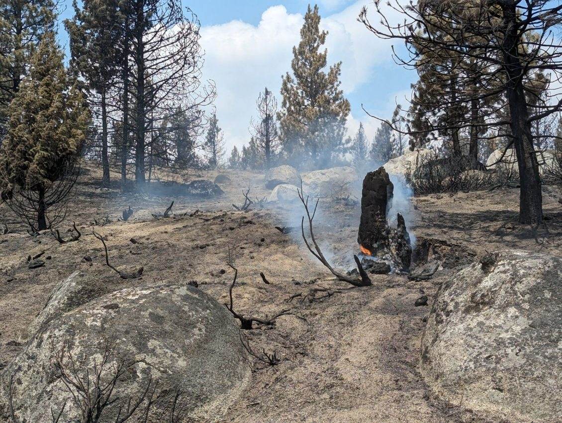
| Incident Description | Complex included 12 fires in which three have been consumed by the Thompson fire. All acres include total acres burnt to current time. |
| Coordinates |
44° 40' 01'' Latitude
-117° 17' 53
'' Longitude
|
| Total Personnel: | 31 |
|---|---|
| Size | 54,563 Acres |
| Percent of Perimeter Contained | 99% |
| Estimated Containment Date | 08/10/2024 |
| Fuels Involved | Brush (2 feet) Narrative: Local fuels sites show live sagebrush fuel moistures around 110%. Sagebrush burns active when below 120% |
| Significant Events | Minimal Narrative: |
| Planned Actions |
Maintain control of any initial attack fires that may result from potential dry lightning activity in the area. Patrol and secure status of the fires within the Badland Complex. Complex will be handed over to the home unit today, 8/5/2024, at 2000. |
|---|---|
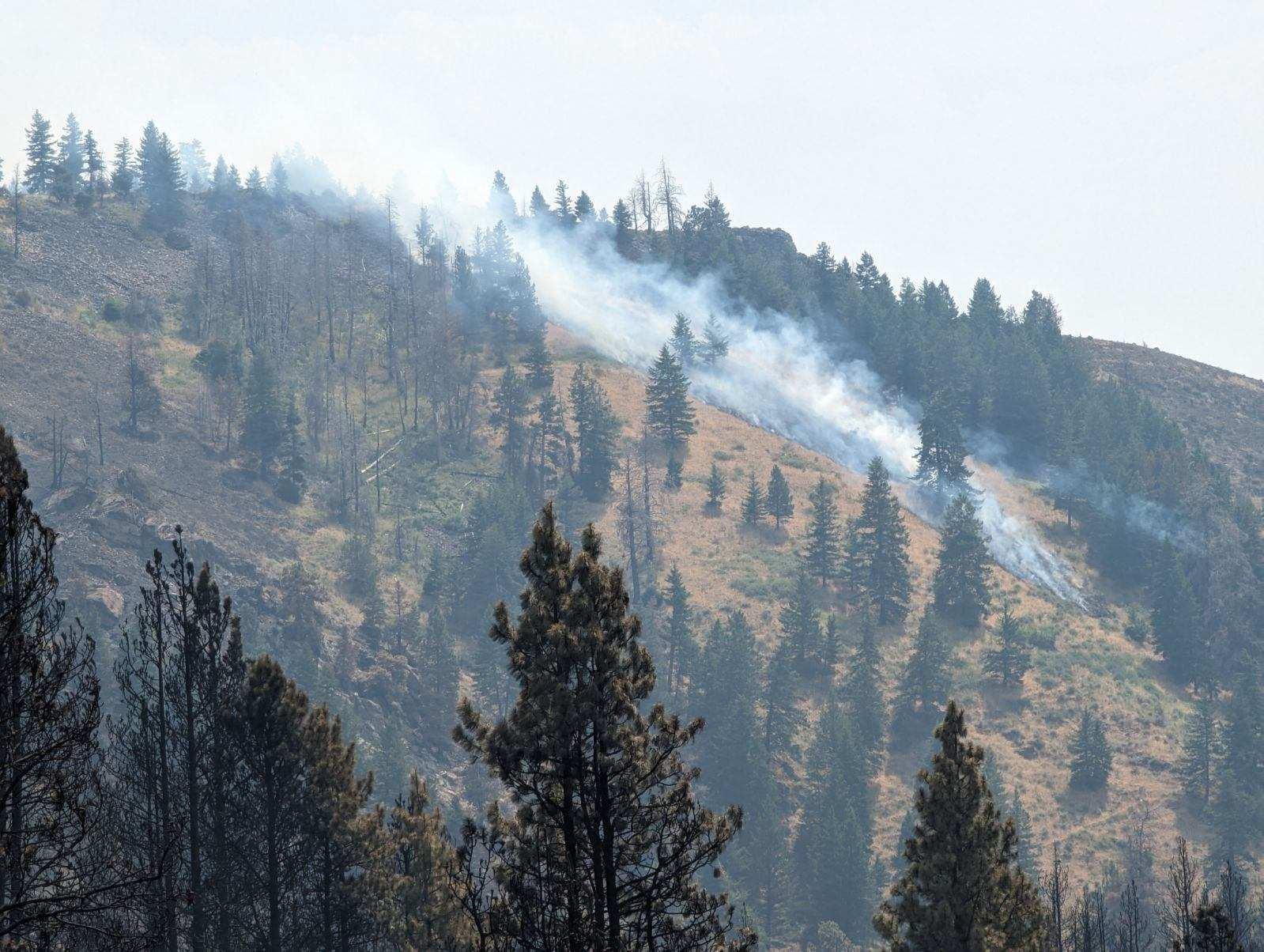
| Projected Incident Activity |
12 hours: Minimal fire activity expected from the current Badland Complex fires. Active fire behavior is possible with new ignition sources due to low RH, hot temperatures and dry fuels. Outflow winds have the potential for large wind driven runs from new ignitions sources within the fire planning area. Potential for spotting from single tree torching near the line into dry unburned fuels is possible. Moderate rates of spread can be expected if ignitions sources occur. |
| Remarks |
-Chalk is at 1 acre with 100% contained - Coyote is at 22,180 acres with 100% contained - Crandall is at 89 acres with 100% contained - Daly is at 7 acres with 100% contained - North Thompson is at 1 acre with 100% contained - Powder is at 728 acres with 100% contained - Sheep Mountain is at 1 acre with 100% contained - Thompson is at 31,557 acres with 99% contained - Timber Canyon is at 50 acres with 100% contained - Williams Creek is at 1 acre with 100% contained |
| Weather Concerns | Monday: Scattered afternoon thunderstorms this afternoon ahead of a weak frontal passage. These storms will provide isolated brief heavy rains. However, lightning and gusty, erratic outflow winds remain the biggest concerns. Northwest winds will develop this evening with a few gusts to 30 mph possible through midnight. Temperatures slightly cooler with humidity slightly moderated. |
|---|