

Highlighted Media
| Current as of | Mon, 08/12/2024 - 14:52 |
|---|---|
| Incident Time Zone | America/Phoenix |
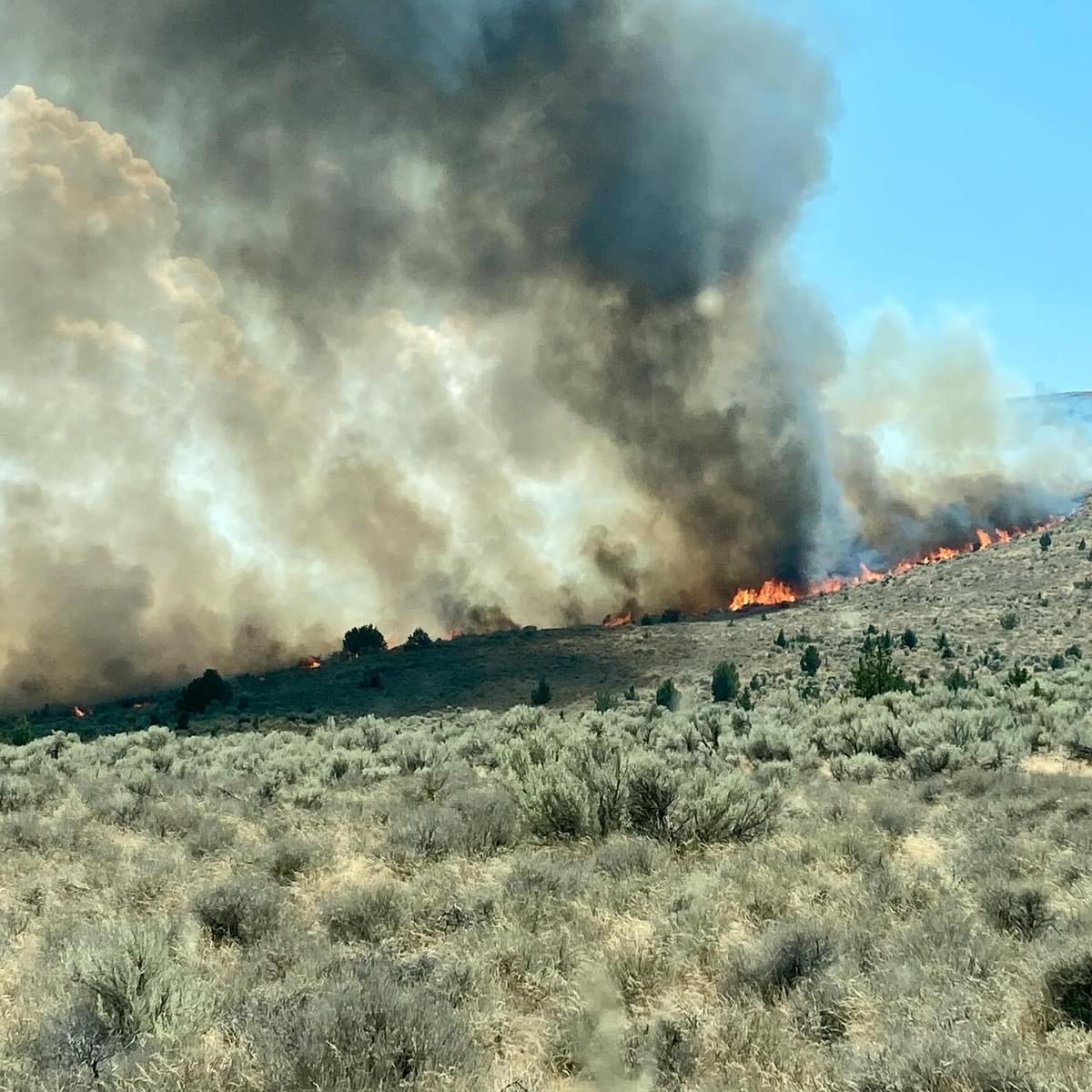
| Incident Type | Wildfire |
| Cause | Lightning/Natural |
| Date of Origin | |
| Location | Porcupine Reservoir |
| Incident Commander | BLM - Burns District |
| Coordinates |
43° 18' 54'' Latitude
-118° 27' 19
'' Longitude
|
| Size | 6,491 Acres |
|---|---|
| Percent of Perimeter Contained | 95% |
| Estimated Containment Date | 08/14/2024 |
| Fuels Involved | Tall Grass (2.5 feet) |
| Significant Events | Mopping up. |
| Planned Actions |
Patrol, mop-up, and secure the line. |
|---|