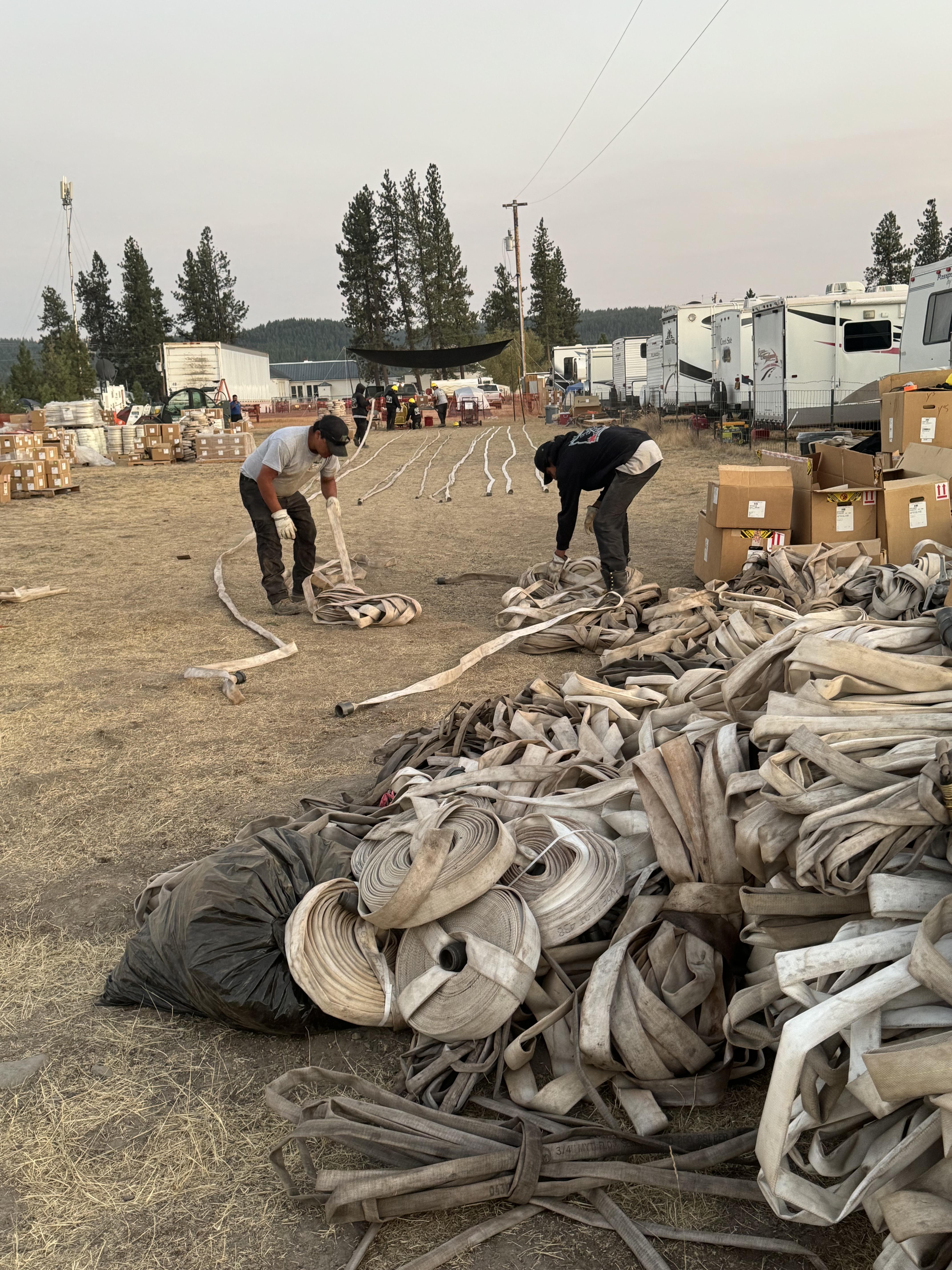
Highlighted Media
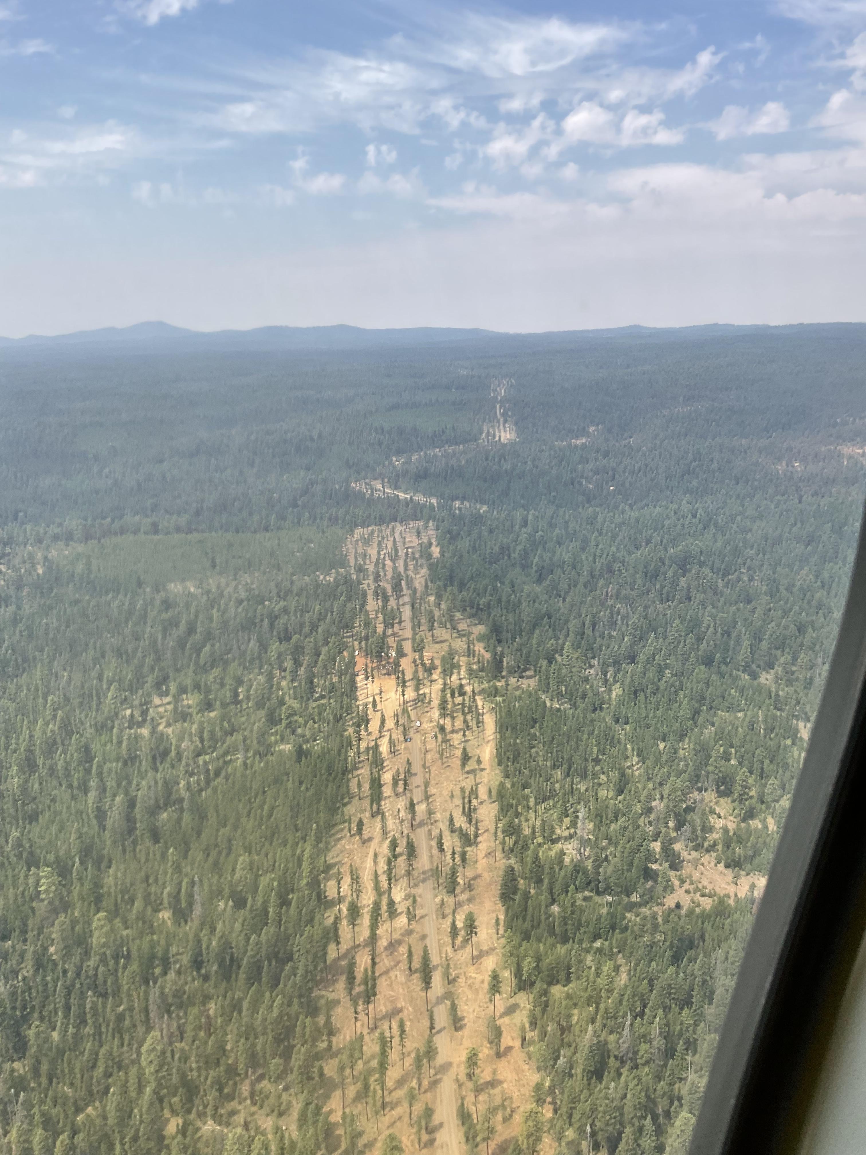

In some areas, crews are working to improve existing contingency lines from prior efforts. In other areas crews are working to clean up contingency lines made during this fire. These lines provide a fuel break to slow or stop fire progression. When a line is created for an incident, the intent is to leave it in a condition that it supports future suppression efforts if needed.
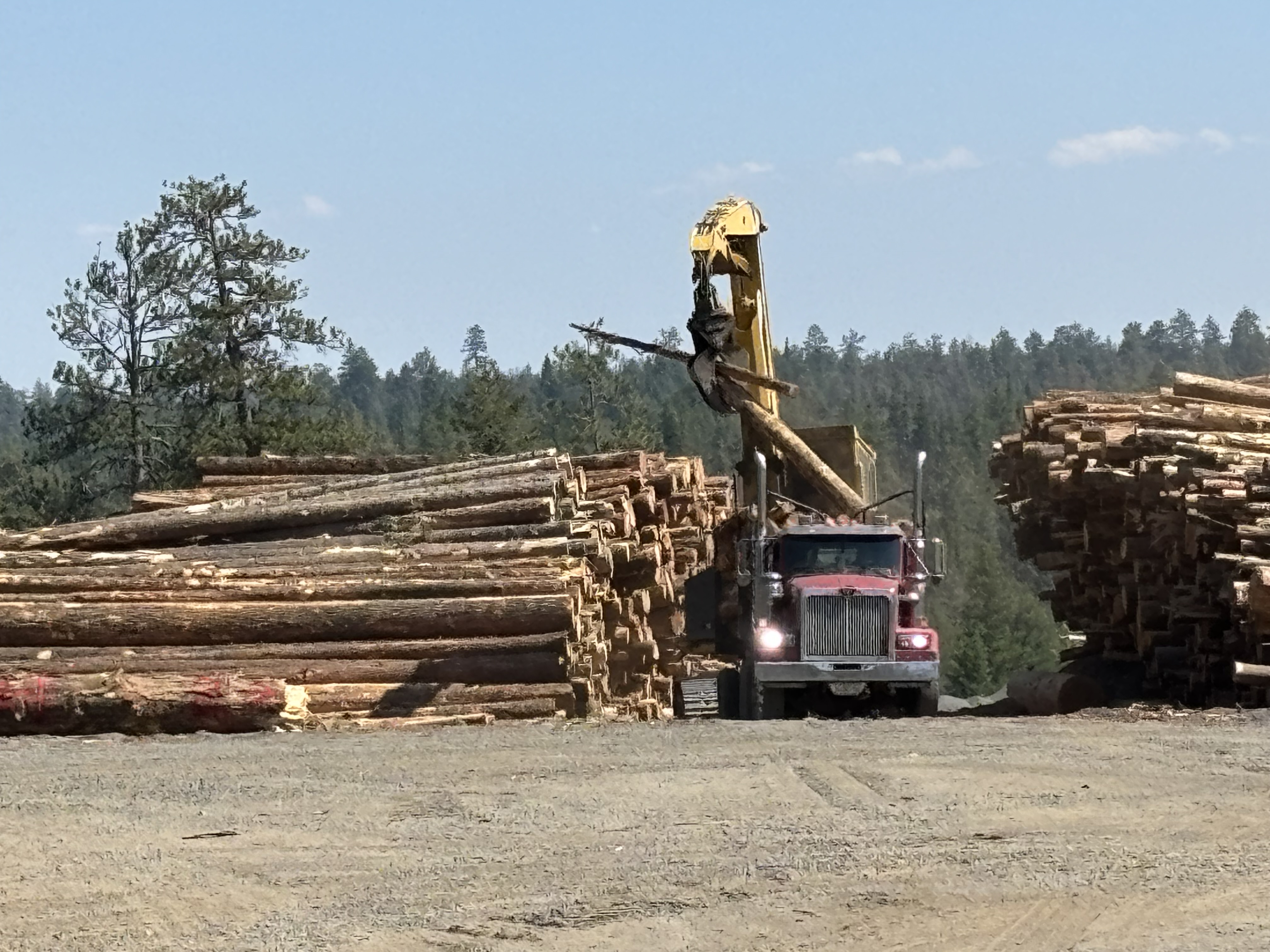

In some areas, crews are working to improve existing contingency lines from prior efforts. In other areas crews are working to clean up contingency lines made during this fire. These lines provide a fuel break to slow or stop fire progression. When a line is created for an incident, the intent is to leave it in a condition that it supports future suppression efforts if needed.
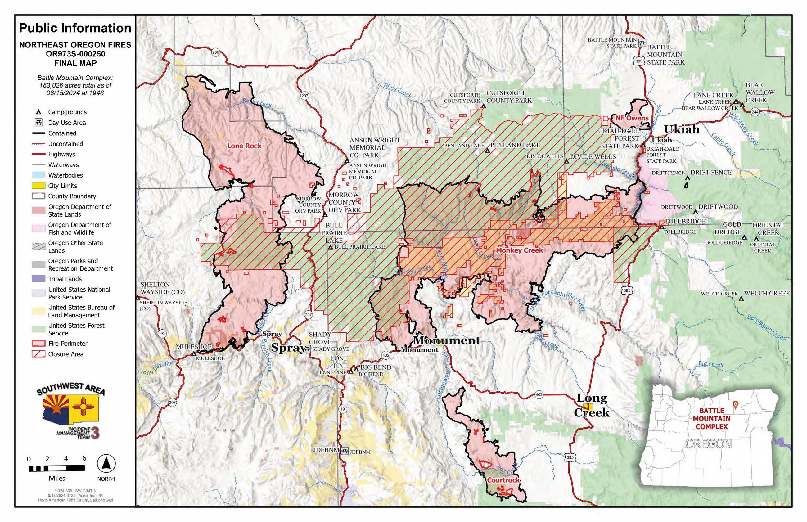
The Battle Mountain Complex consists of the North Fork Owens and Monkey Creek Fires – two of 17 fires in northeast Oregon that started in the late afternoon and evening of July 17, 2024. The Snake Fire merged with the Monkey Creek Fire on July 22, 2024, and the Boneyard Fire merged with Monkey Creek Fire on July 25, 2024.
On August 7, 2024, command of the Battle Mountain Complex was transferred to Southwest Area Management Team, Team #3 lead by Incident Commander Matt Rau.
| Current as of | Tue, 08/20/2024 - 11:49 |
|---|---|
| Incident Time Zone | America/Los_Angeles |
| Incident Type | Wildfire |
| Cause | Undetermined |
| Date of Origin | |
| Location | West and south of Ukiah, OR |
| Incident Commander | Matt Rau Southwest Area Incident Management Team, Team #3 |
| Coordinates |
45° 15' 25'' Latitude
-118° 58' 08
'' Longitude
|
| Total Personnel: | 490 |
|---|---|
| Size | 183,026 Acres |
| Percent of Perimeter Contained | 94% |
| Estimated Containment Date | 08/31/2024 |
| Fuels Involved | Fuels are primarily fully cured grasses in the lower elevations, and a mix of timber litter and understory with patches of cured grasses on northerly aspects and elevations above 4000 feet. |
| Significant Events | Fire behavior limited to smoldering, primarily in the canyons on north end of fire. Mostly sunny Monday with increased clouds late. Highs ranged from lower 70s to mid 80s with afternoon humidity dropping to 15-20%. Light and variable winds in the morning became westerly by midday with speeds 7-10 mph gusting around 20 mph. Northwest winds developed later in the afternoon with speeds 8-12 mph with gusts 15-25 mph. |
| Planned Actions |
Control line improvement, monitoring, contingency line construction, and suppression-repair work is currently occurring throughout the fire area. Resources are currently monitoring, fire activity is minimal with smoldering fire behavior. Current action is to monitor unless fire activity and behavior changes. Resources will evaluate the appropriate actions if fire activity and behavior change. Suppression-repair work is occurring throughout the entire fire area. |
|---|---|
| Projected Incident Activity |
12 hours: Continued smoldering in heavies and dirty burn areas along the northern edge of the fire. No growth expected on the fire. 24 hours: Minimal smoldering. No growth expected on the fire. 48 hours: Minimal smoldering. No growth expected on the fire. 72 hours: Minimal smoldering in heavies and dirty burn areas along the northern edge of the fire. No growth expected on the fire. Anticipated after 72 hours: Minimal smoldering in heavies and dirty burn areas along the northern edge of the fire. No growth expected on the fire. |
| Remarks |
Incident will transition to type 3 team at 2000hrs 08202024 A partial forest closer is in effect and was updated today: Umatilla Forest Closure Order 06-14-00-24-04 |
| Weather Concerns | Variably cloudy Tuesday. Highs upper 60s to lower 80s with minimum humidity 20-30%. Northwest winds 8-12 mph with gusts 15-25 mph in the afternoon. Mostly cloudy Tuesday evening with an isolated sprinkle or shower possible, clearing after midnight. Lows mid 40s to mid 50s with humidity 65-90%. Northwest winds 7-10 mph with gusts around 20 mph in the evening becoming light and variable overnight. Mostly sunny Wednesday with increasing clouds Wednesday night. HIghs around 70 to mid 80s with minimum humidity 15-25%. Lows mid 40s to upper 50s with excellent humidity recovery. Southwest winds 7-10 mph with gusts 15-20 mph becoming northwest and increasing to 8-12 mph with gusts 15-25 mph in the afternoon. Northwest winds 7-10 mph with gusts around 20 mph Wednesday evening becoming light and variable Wednesday night. Mostly cloudy on Thursday with a chance of showers. Highs mid 60s to upper 70s with minimum humidity 35-45%. Northwest winds 7-10 mph with gusts around 20 mph. |
|---|

 InciWeb