U.S. flag

An official website of the United States government

Here's how you know

Single Incident Information

Zoom to your location
Reset map zoom and position

Could not determine your location.

Davis Fire

Unit Information

1200 Franklin Way 
Sparks, 
Nevada 
89431 
1200 Franklin Way 
Sparks, 
Nevada 
89431 

Incident Contacts

Highlighted Activity

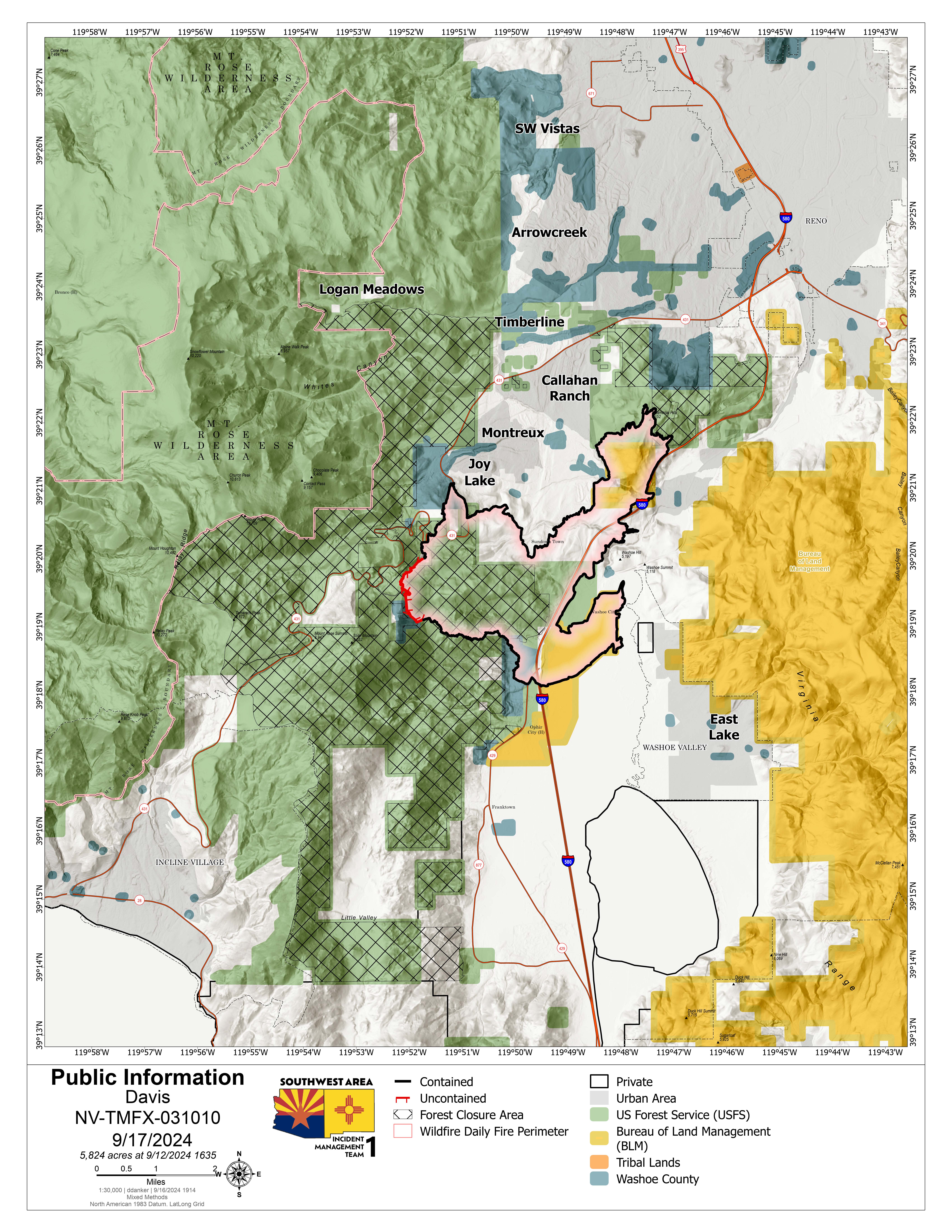
The Davis Fire is estimated to be approximately 6,500 acres and zero percent contained. The fire started in the area of Davis Creek Regional Park, located in Washoe Valley south of Reno, Nevada, around 2:30 p.m. on Sept. 7, 2024. It is reported to be burning in heavy timber and brush, with medium to long range spotting. Gusty winds are forecasted throughout the week.Fourteen structures are… Read more
Publication Type: News -
Interstate 580 between Reno and Carson City, Nevada, as well as Old U.S. Highway 395 to Eastlake Boulevard have reopened. Old U.S. Highway 395 is still closed from East Lake Boulevard to Bowers Mansion Interchange. Mt. Rose Highway remains closed. For updates on road closures, visit: https://www.nvroads.com/
Publication Type: Announcement -
Power outages in the south Reno area continue to leave some homes, businesses, and traffic signals without electricity. Customers who are currently without power should be prepared for prolonged outages throughout the incident and those customers living near the fire who still have power should be prepared for potential additional de-energizations due to the dynamic nature of the fire. To… Read more
Publication Type: Announcement -

Smoke from Davis Fire

At 2:30 p.m. on Sept. 7, 2024, a wildfire broke out in the area of Davis Creek Regional Park located 20 miles south of Reno, Nevada. 

Southwest Area Incident Management Team 1, a Complex Incident Management Team, assumed management of the fire at 6 p.m. this evening. Southwest Incident Management Team 1 will be helping increase the management capabilities for this fire while continuing to work with local agencies. 

A community briefing is being planned for Tuesday, Sept. 10, 7 p.m. at Depoali Middle School, 9300 Wilbur May Parkway, Reno, NV 89521.

Basic Information
Current as of Mon, 09/09/2024 - 22:12
Incident Time Zone America/Los_Angeles
Incident Type Wildfire
Cause Under Investigation
Date of Origin
Location Washoe Valley south of Reno, Nevada
Incident Commander Truckee Meadows Fire Protection District and the Humboldt-Toiyabe National Forest are in unified command in management of the fire. The Southwest Area Incident Management Team 1, a Complex Incident Management Team, assumed management of the fire at 6 p.m. this evening.
Incident Description The Davis Fire is estimated at 5,000 acres, containment remains at 0%. Fourteen structures are currently known to be impacted, and damage assessments will continue in the impacted area of the Davis fire when it is safe to do so. Fire crews continue full suppression efforts, prioritizing the protection of life, property, and critical infrastructure.

Coordinates 39° 18' 19'' Latitude
-119° 49'
57
'' Longitude
Current Situation
Total Personnel: 600
Size 5,000 Acres
Percent of Perimeter Contained 0%
Significant Events

Resources as of Sept. 9, 2023

  • Helicopters: 12
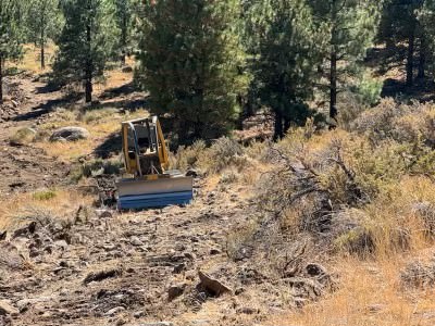
  • Heavy Equipment/Dozers: 10 
  • Engines:  58 
  • Crews: 15